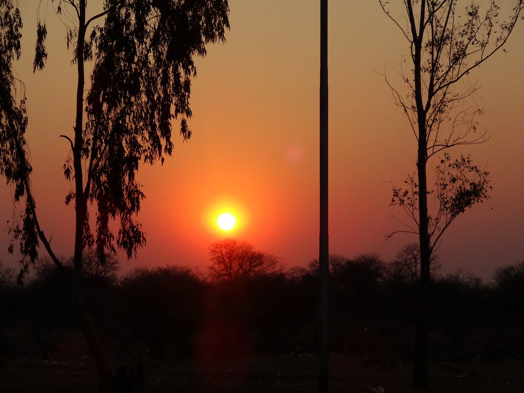
Elevation of Rutenga, Zimbabwe
Location: Zimbabwe >
Longitude: 30.7292472
Latitude: -21.237615
Elevation: 558m / 1831feet
Barometric Pressure: 95KPa
Elevation Map:
Satellite Map:
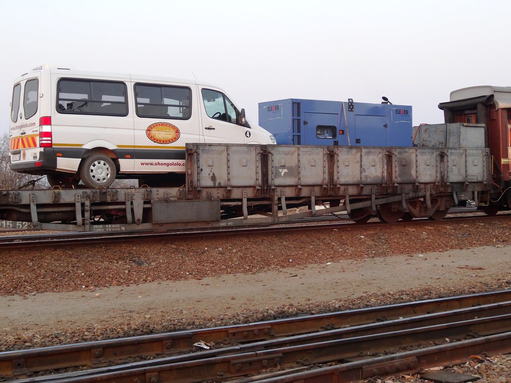
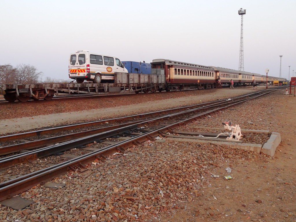
Related Photos:
DSC04929
DSC04928

DSC04925
DSC04923
DSC04922

DSC04921
DSC04919

DSC04919
DSC04918

DSC04917
DSC04916
Topographic Map of Rutenga, Zimbabwe
Find elevation by address:

Places near Rutenga, Zimbabwe:
Recent Searches:
- Elevation of S Layton Cir W, Layton, UT, USA
- Elevation of F36W+3M, Mussoorie, Uttarakhand, India
- Elevation of Fairland Ave, Fairhope, AL, USA
- Elevation of Sunset Dr, Richmond, VA, USA
- Elevation of Grodna District, Hrodna Region, Belarus
- Elevation of Hrodna, Hrodna Region, Belarus
- Elevation of Sandia Derby Estates, Tijeras, NM, USA
- Elevation of 23 Sunrise View Ct, Tijeras, NM, USA
- Elevation of Lytham Ln, Katy, TX, USA
- Elevation of Tater Hill, Oklahoma, USA