Elevation of Rue Principale, Saint-Alphonse, QC J0E, Canada
Location: Canada > Québec > La Haute-yamaska Regional County Municipality >
Longitude: -72.809117
Latitude: 45.3252419
Elevation: 78m / 256feet
Barometric Pressure: 100KPa
Elevation Map:
Satellite Map:
Related Photos:
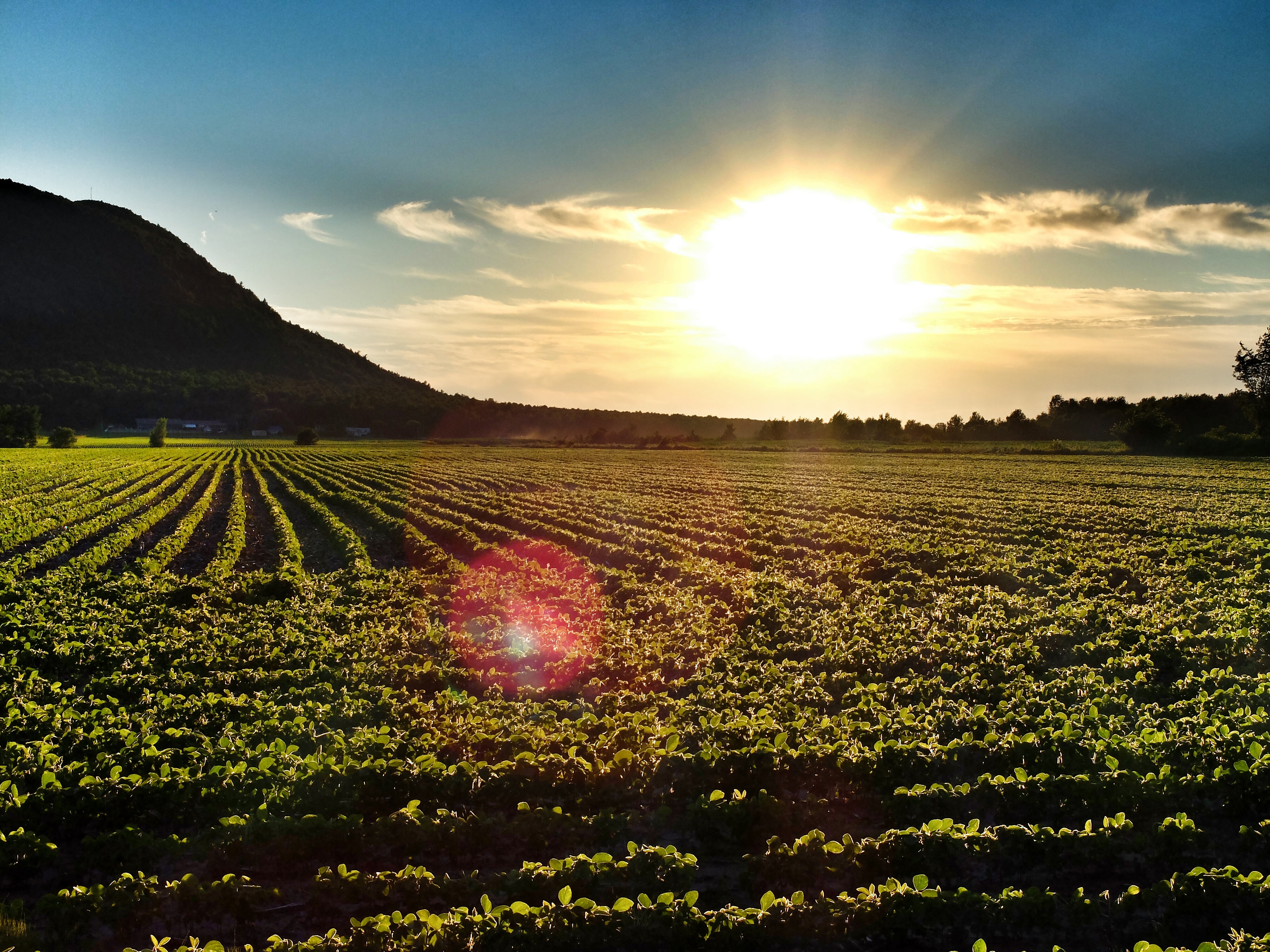
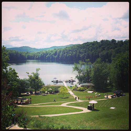
Sunset over Mont Yamaska
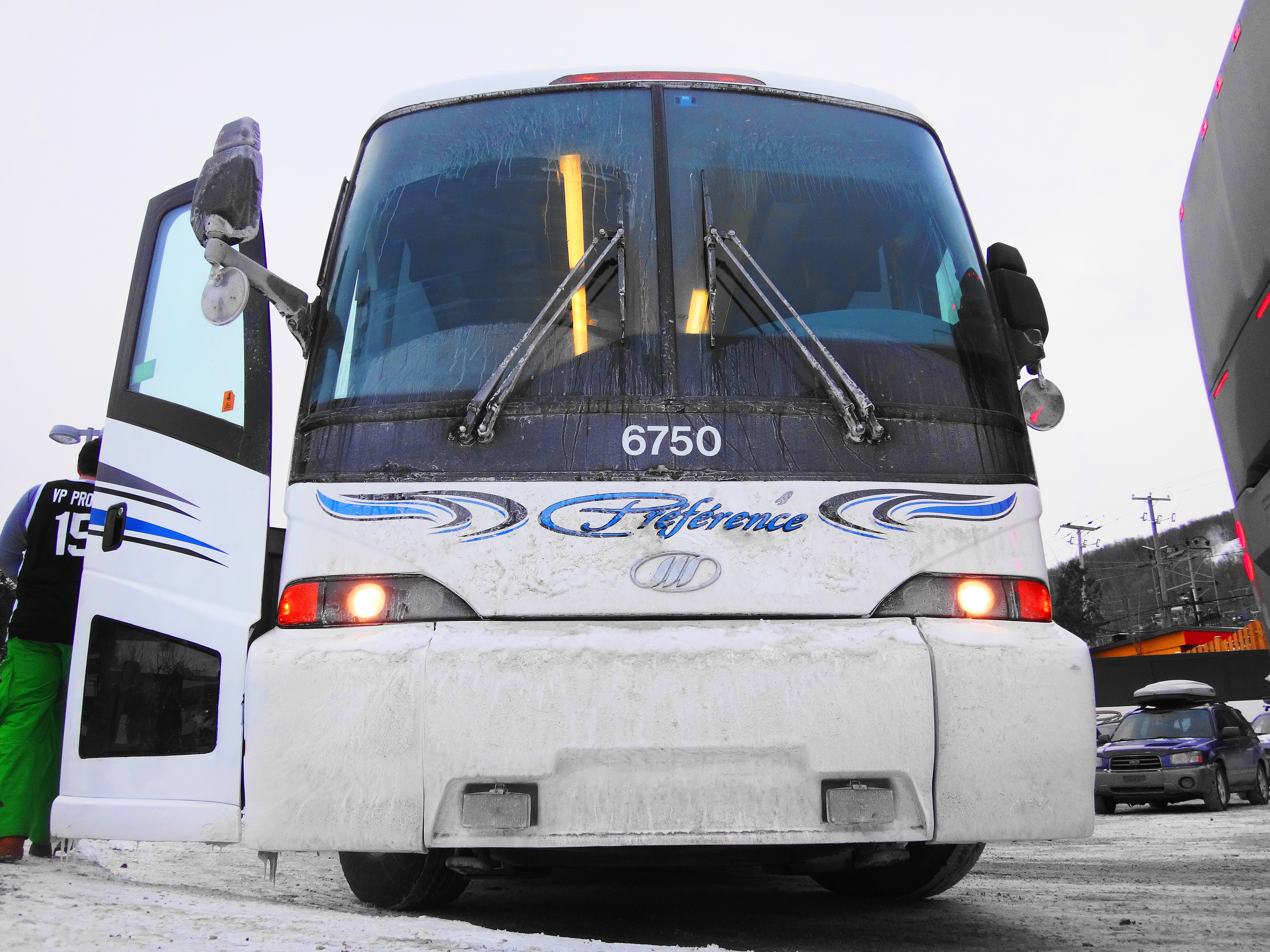
Préférence MCI J4500 6750 front view
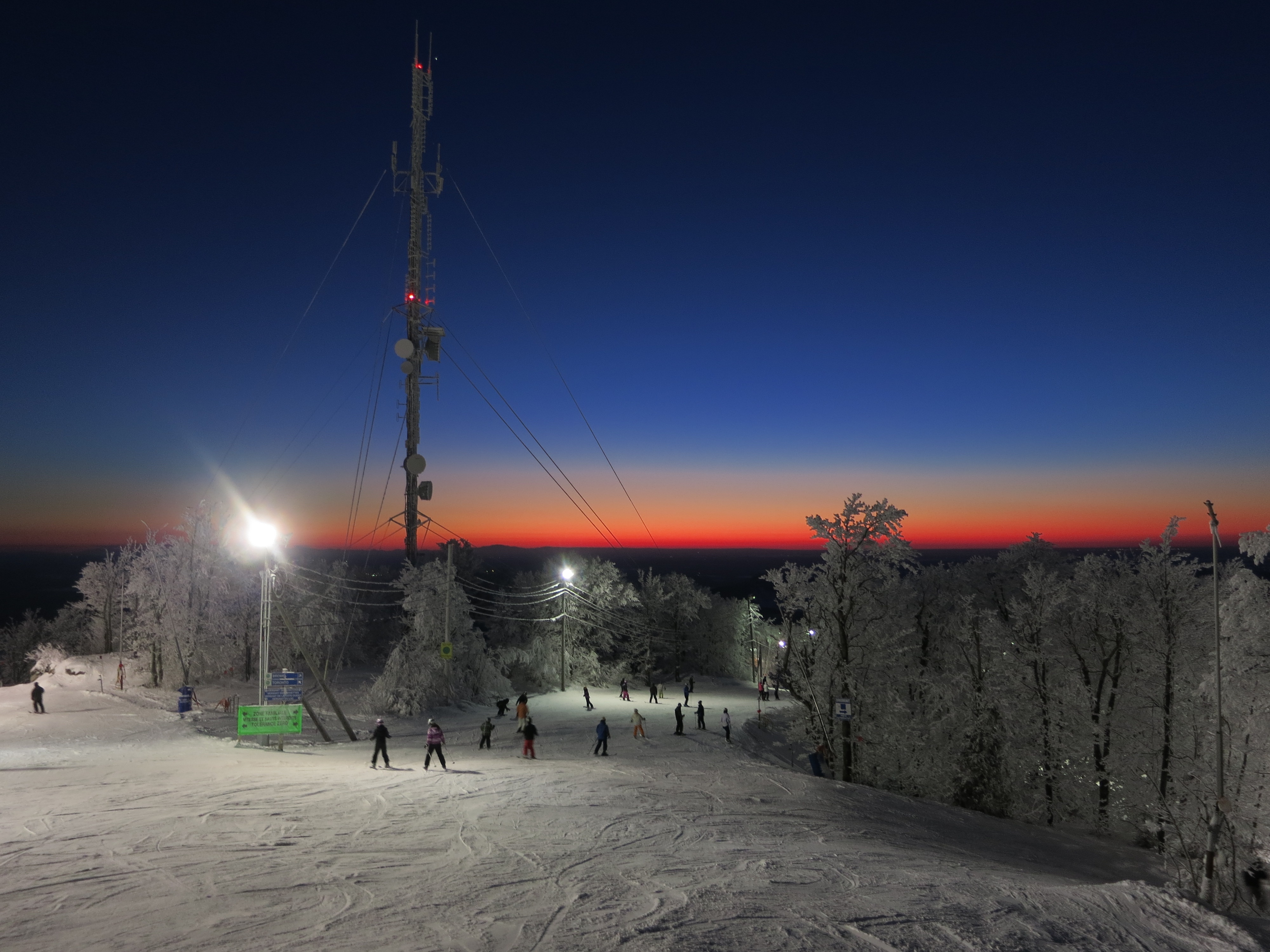
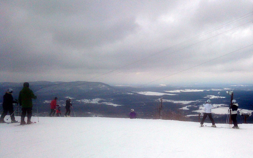
Ski Bromont
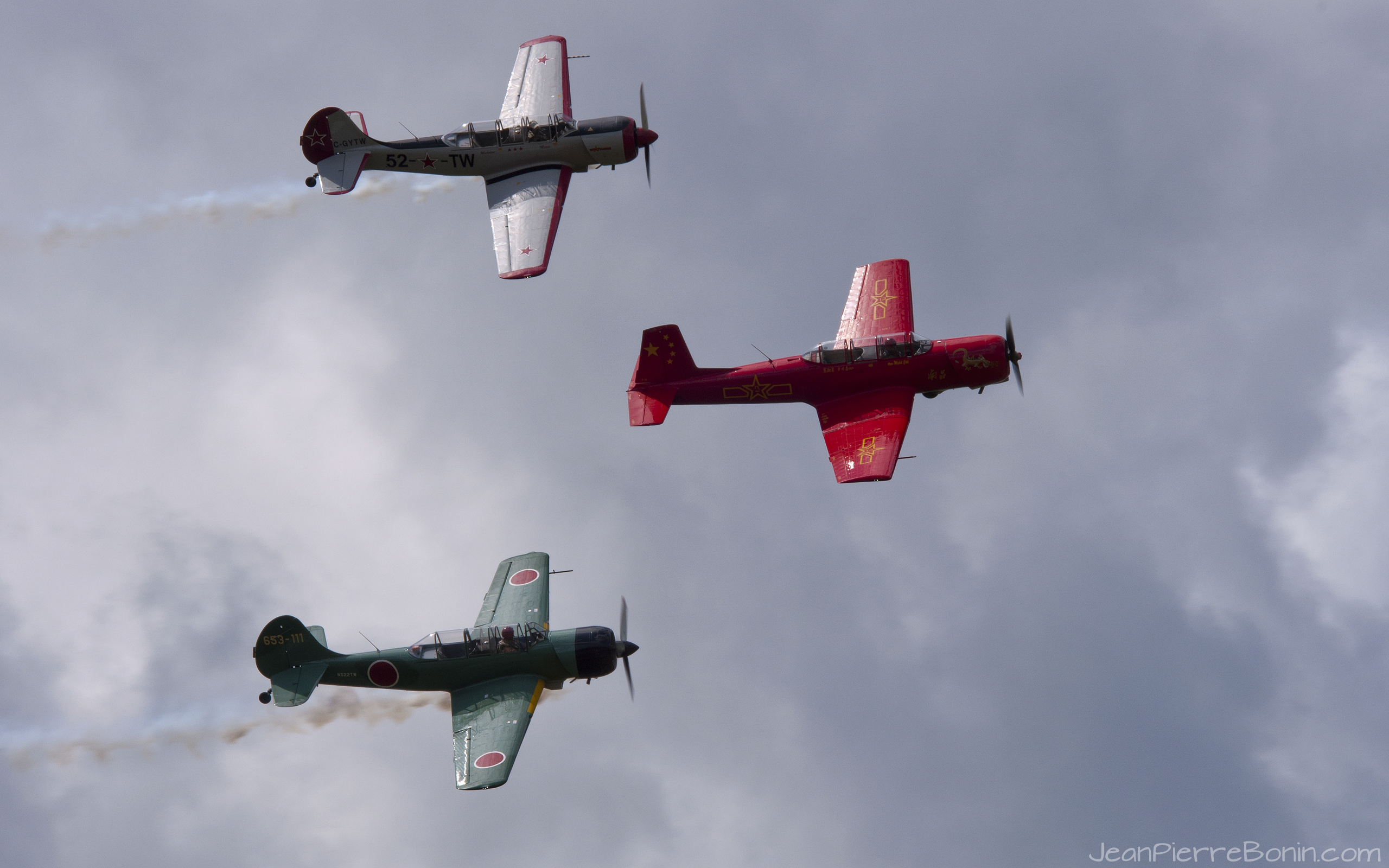
2560x1600 YakAttack!

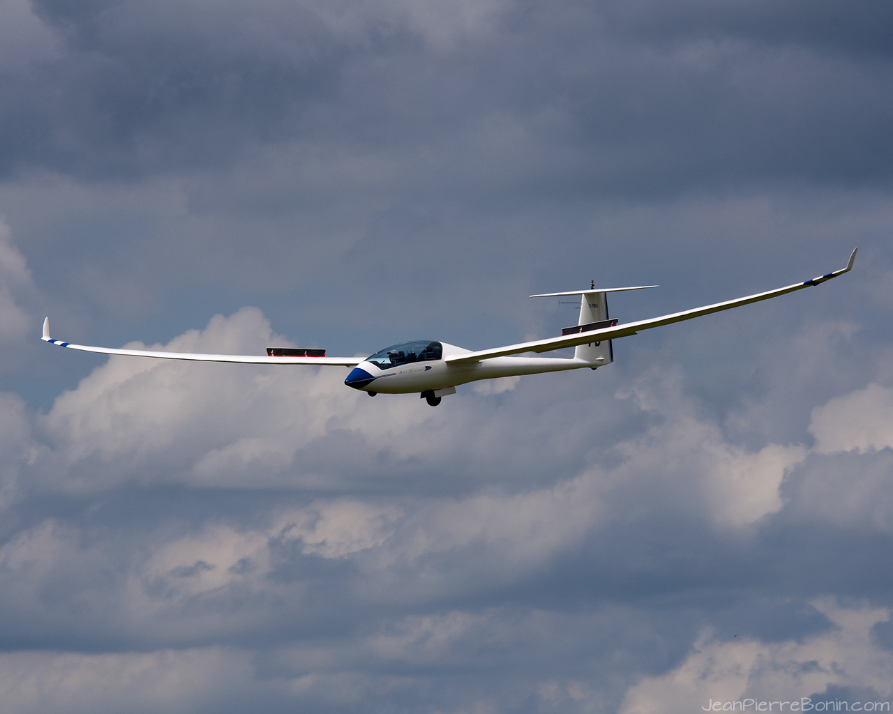
1920x1080 planeur-glider

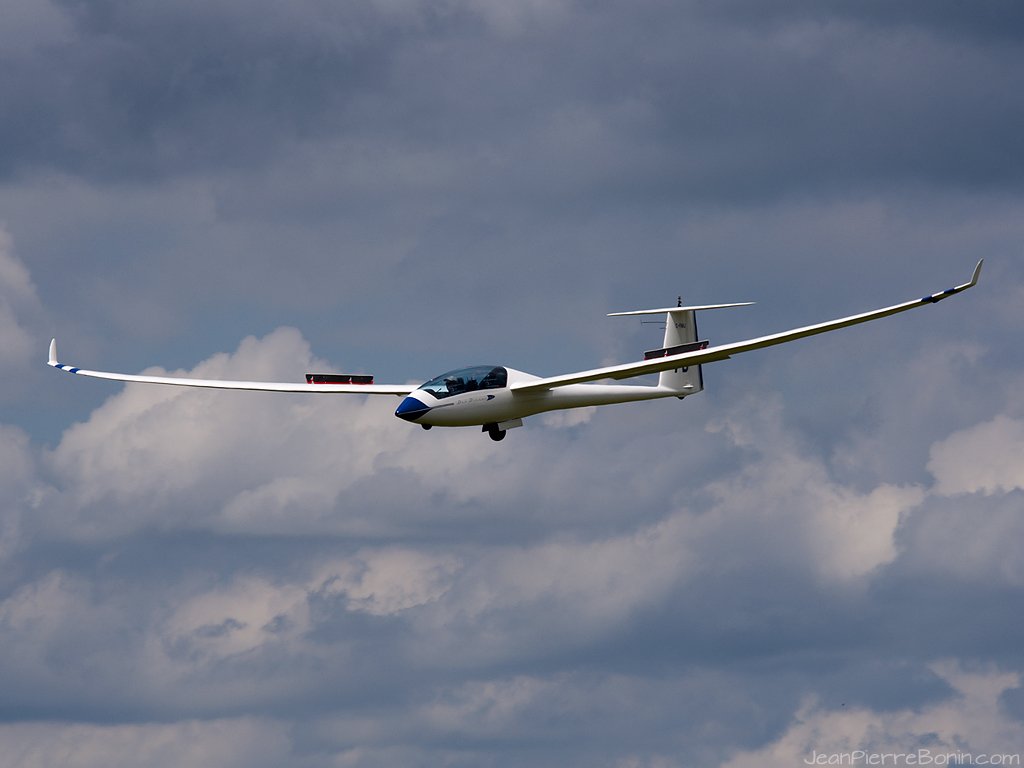
2560x1600 planeur-glider

1280x1024 Yak Attack!
1280x1024 planeur-glider
1024x768 planeur-glider
View from the top...

1024x768 YakAttack!
Mont-Brome

La débarque !
The view at @BalneaSpa : heavenly. #latergram #etedeschefs #green

Préférence MCI J4500 6750 lower panel view (parking brake)

Ski Bromont

Magical views like this always reawaken my love for riding.
Barbell #2
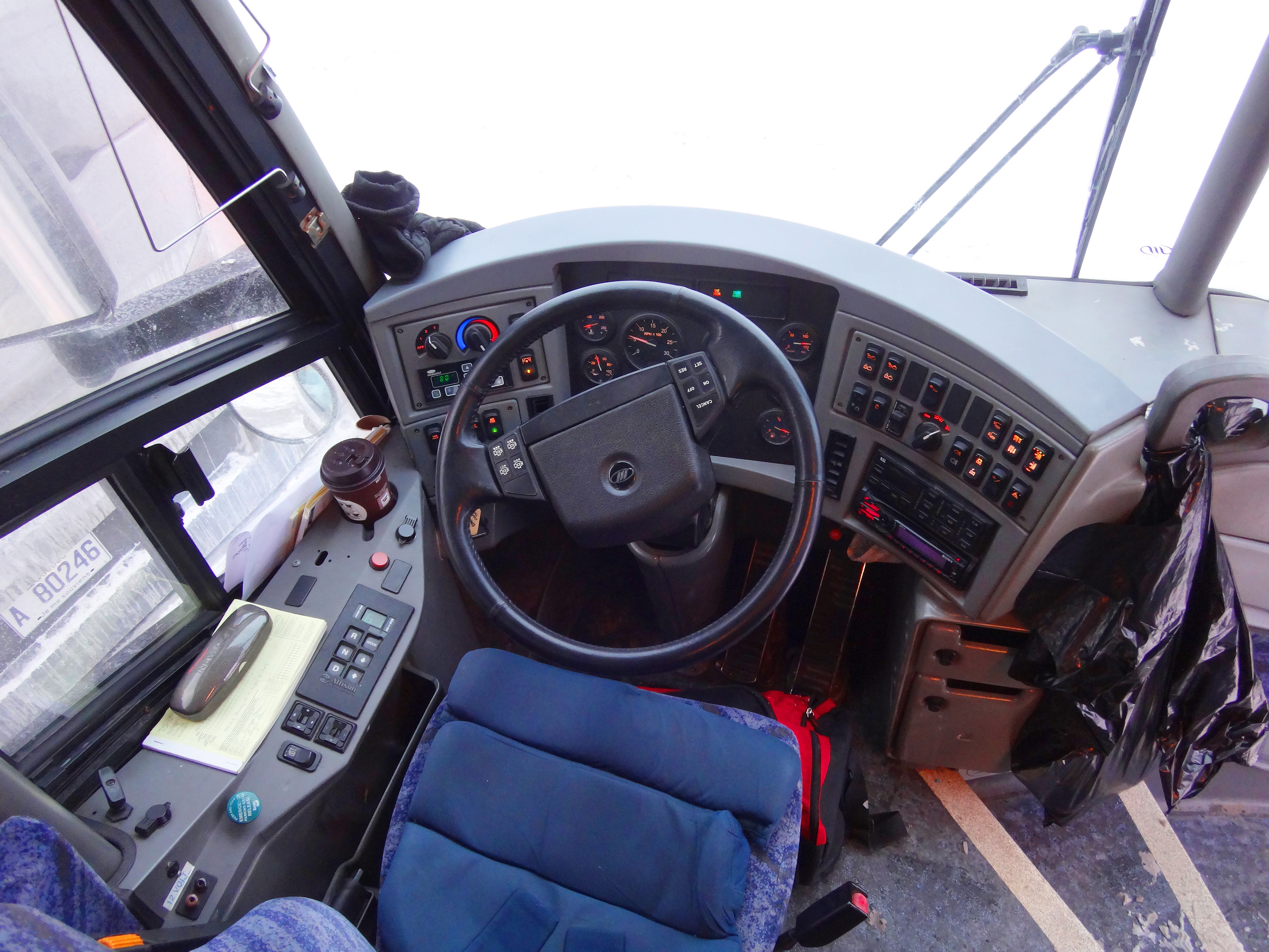
Préférence MCI J4500 6750 cockpit (high view)
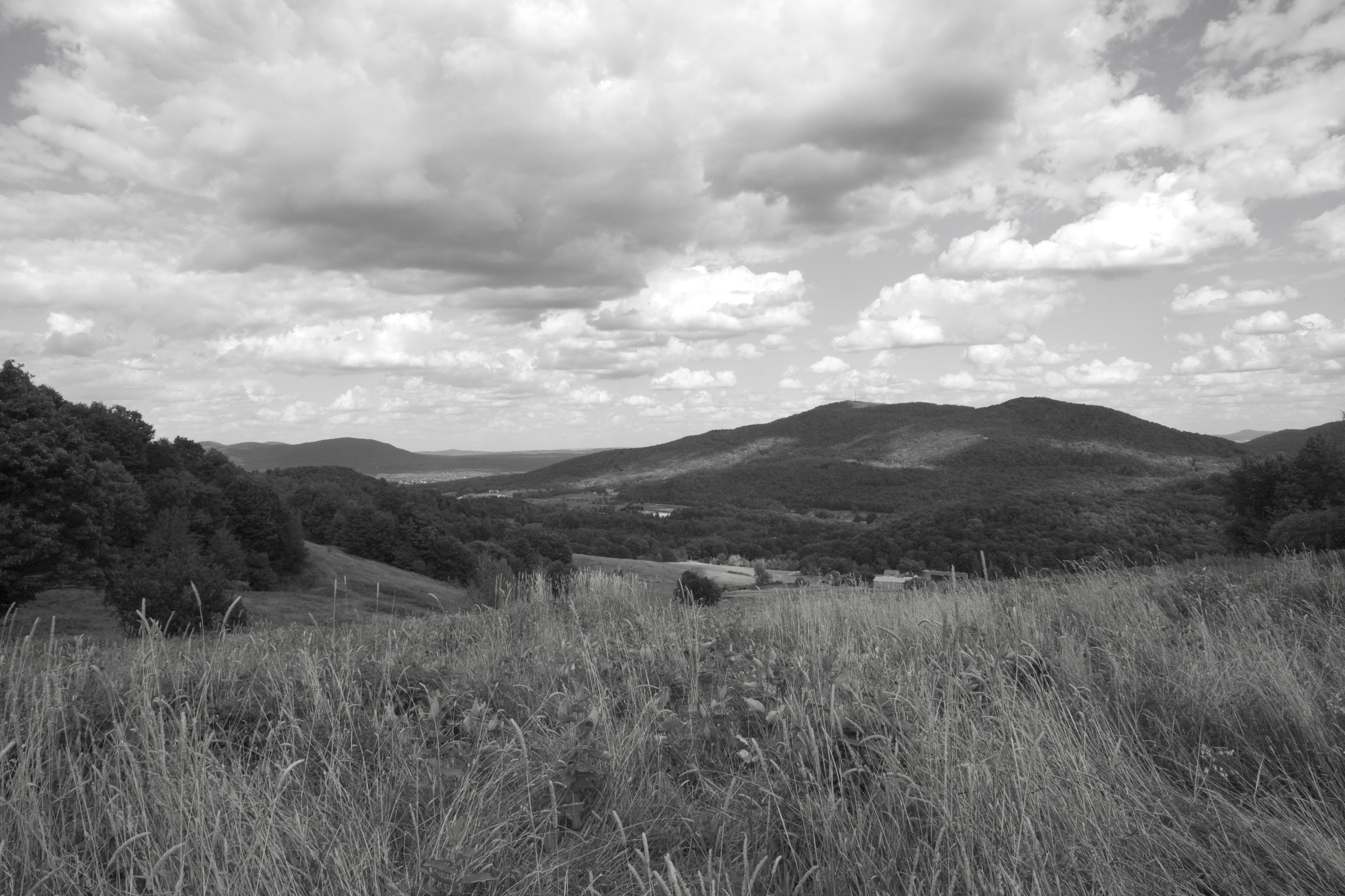
Paysage québécois
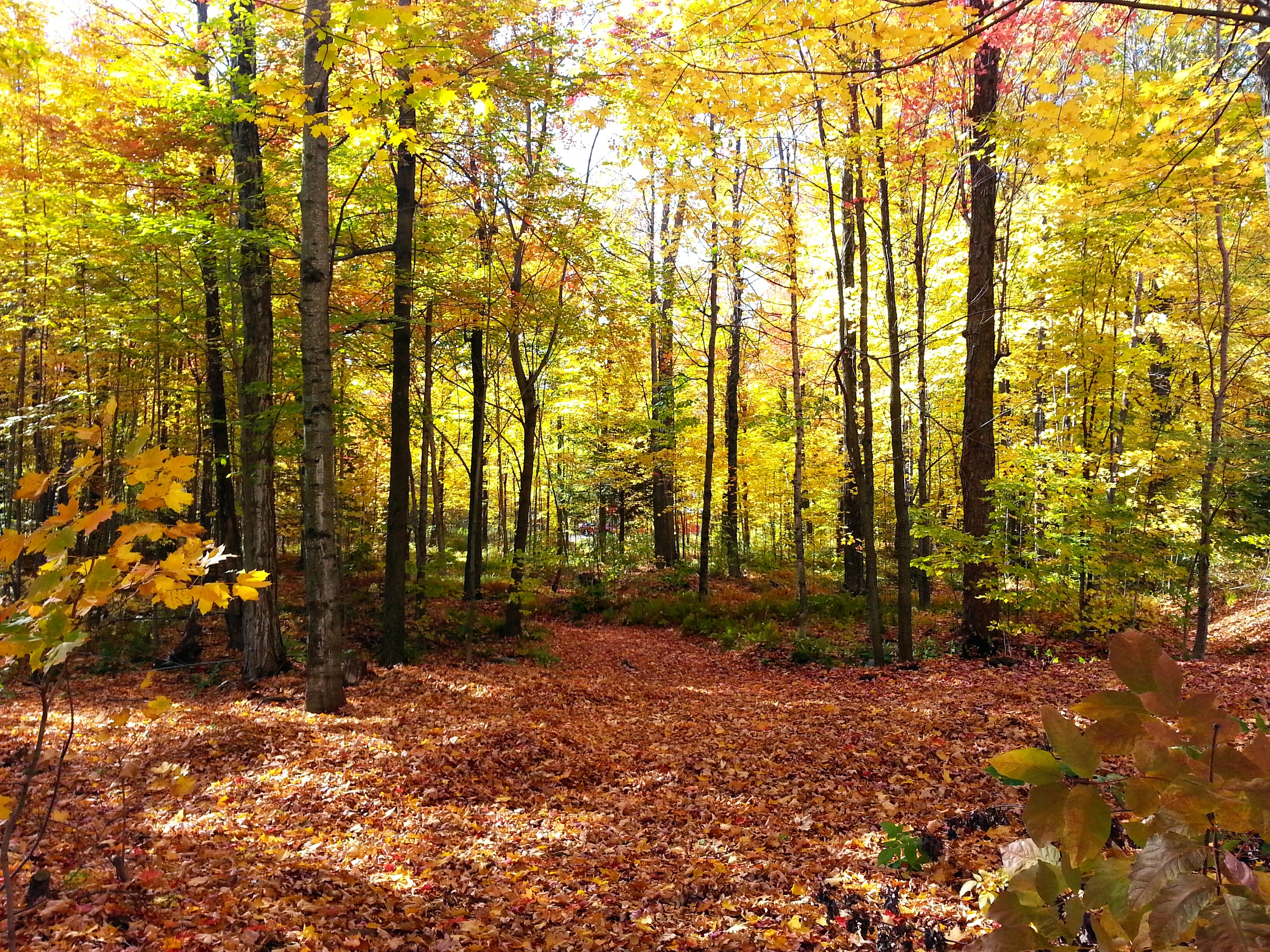
Fall Woods
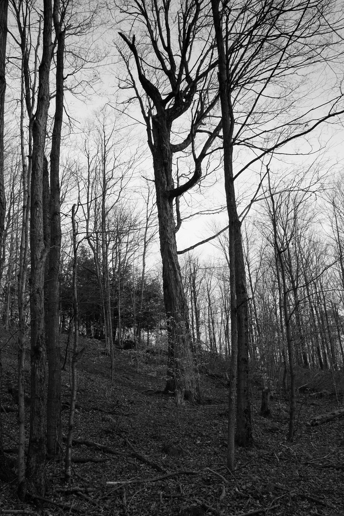
Arbres / Trees

De La Végétation Au Bord Du Lac Bromont. 2014-10-03 15.00.39
mapmyride:route=162257
Piste G1 Trail - #3
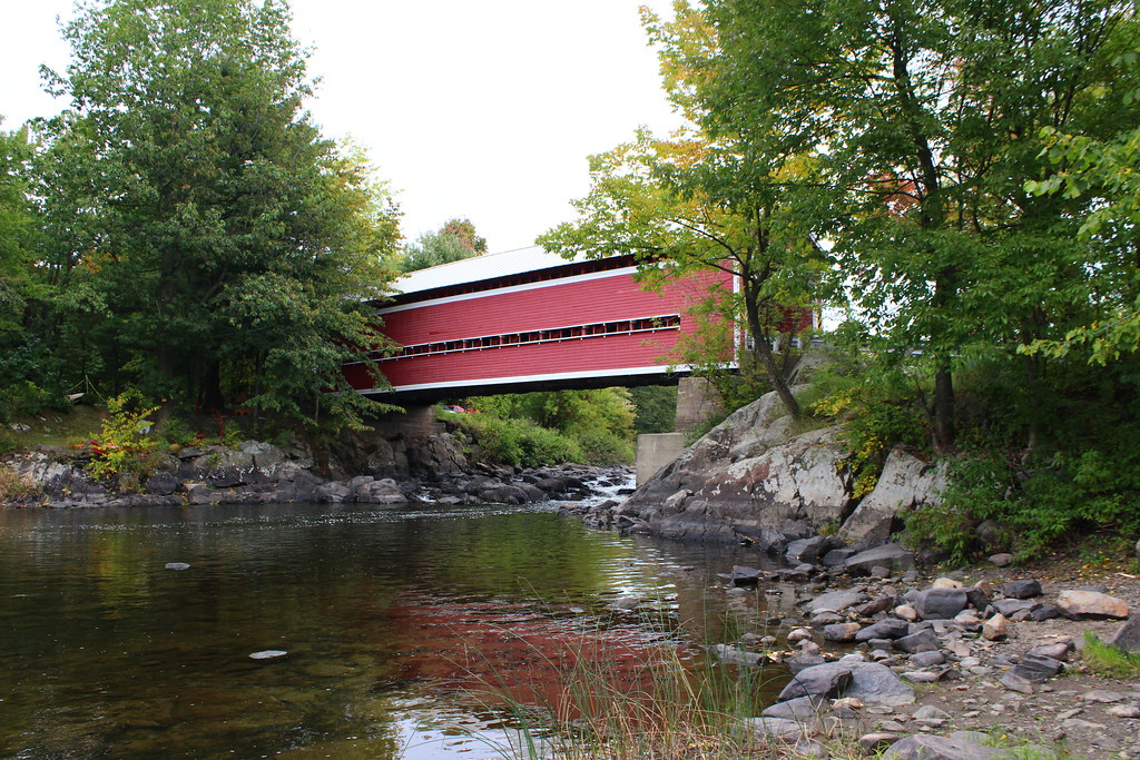
Balthazar Covered Bridge

La vie et ses détours

Icestorm in Quebec, Canada

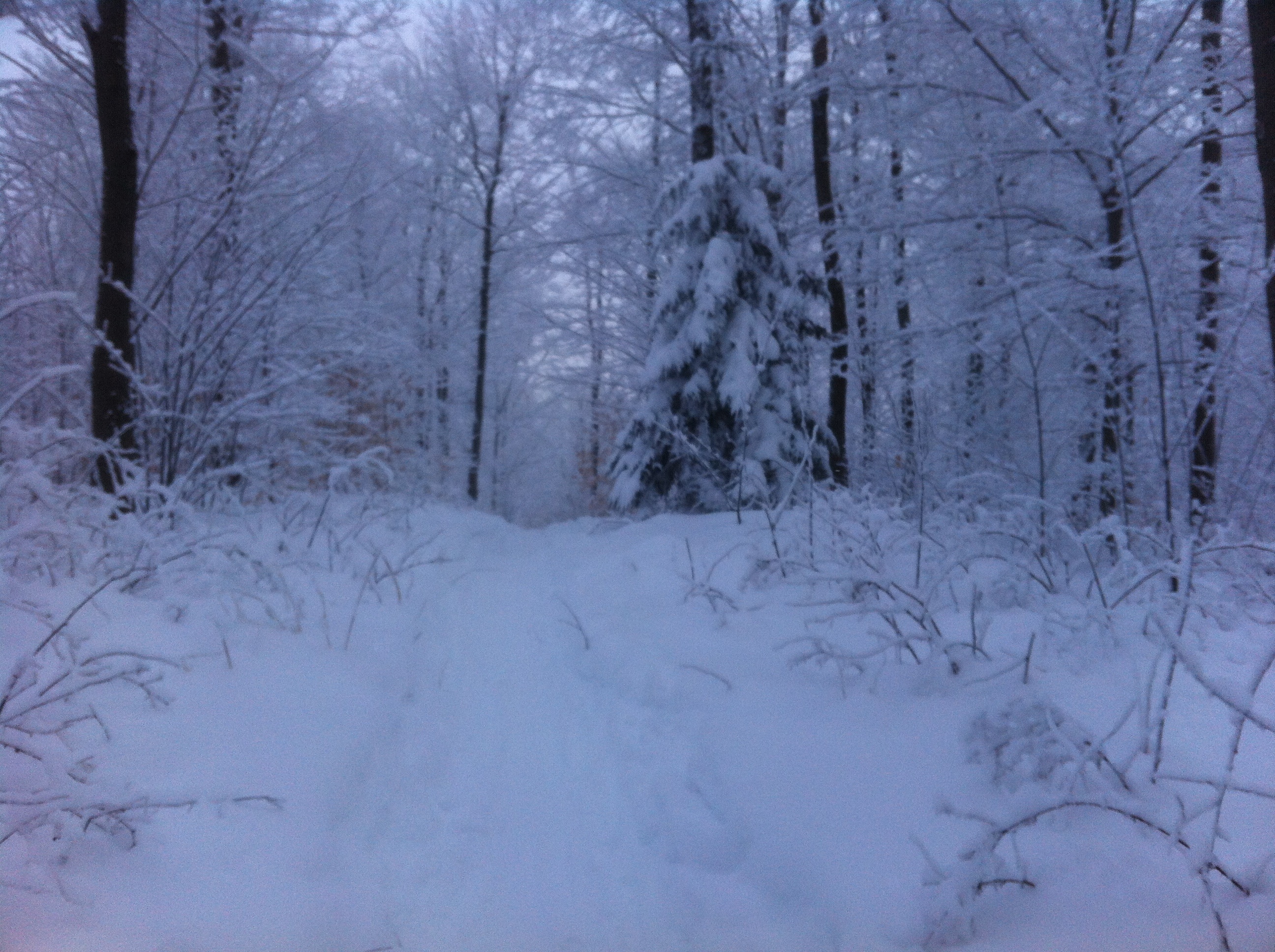
Winter Scene in region of The Eastern Townships in Quebec, Canada
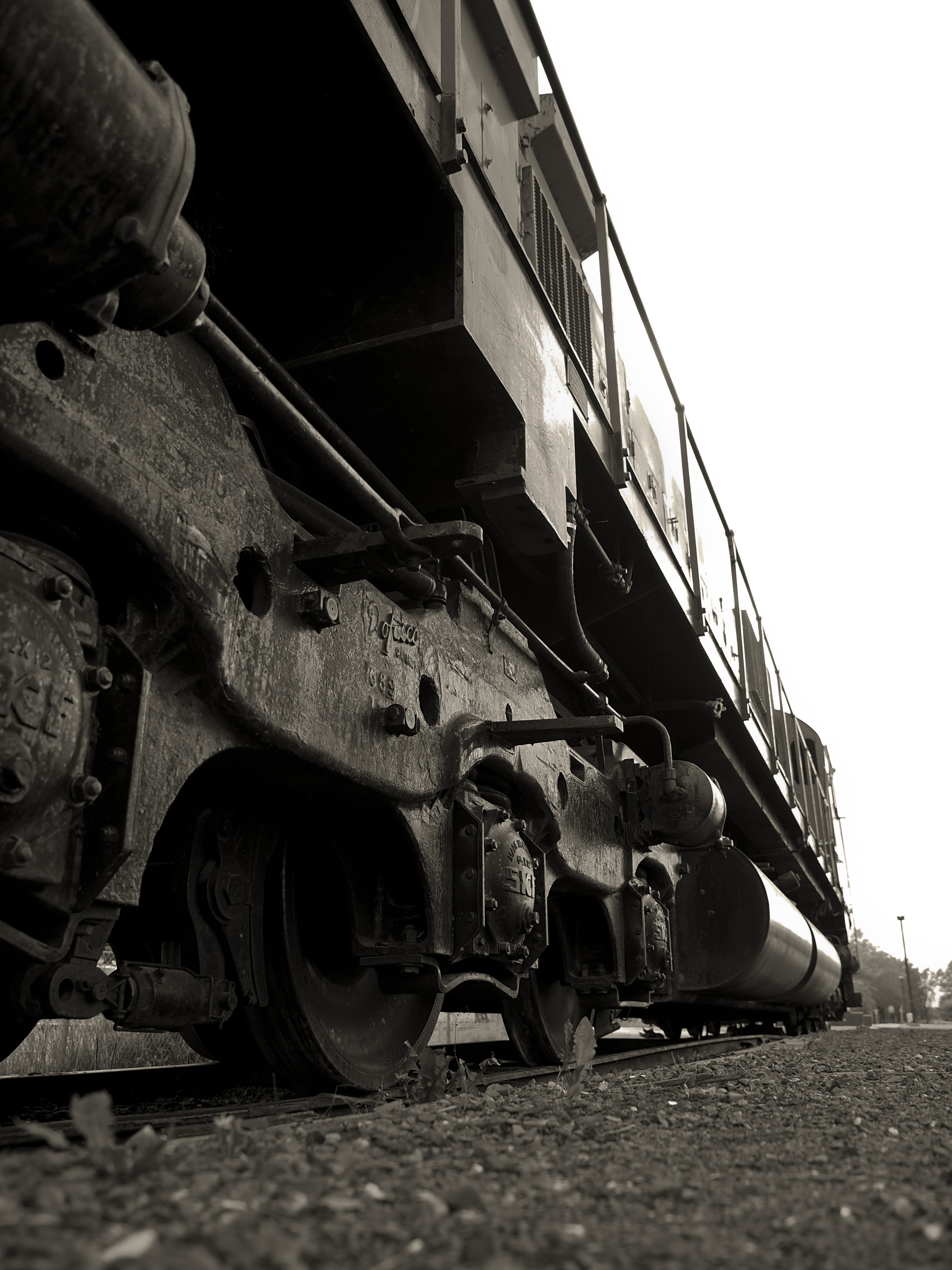
Wheels (Explored)
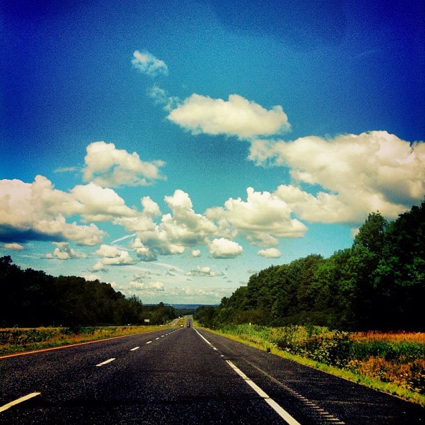
La route des vacances.
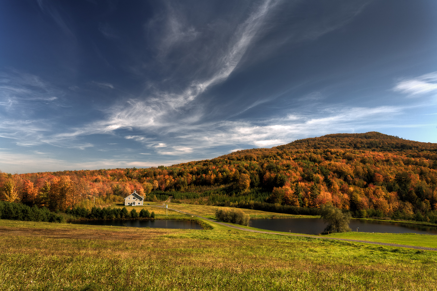
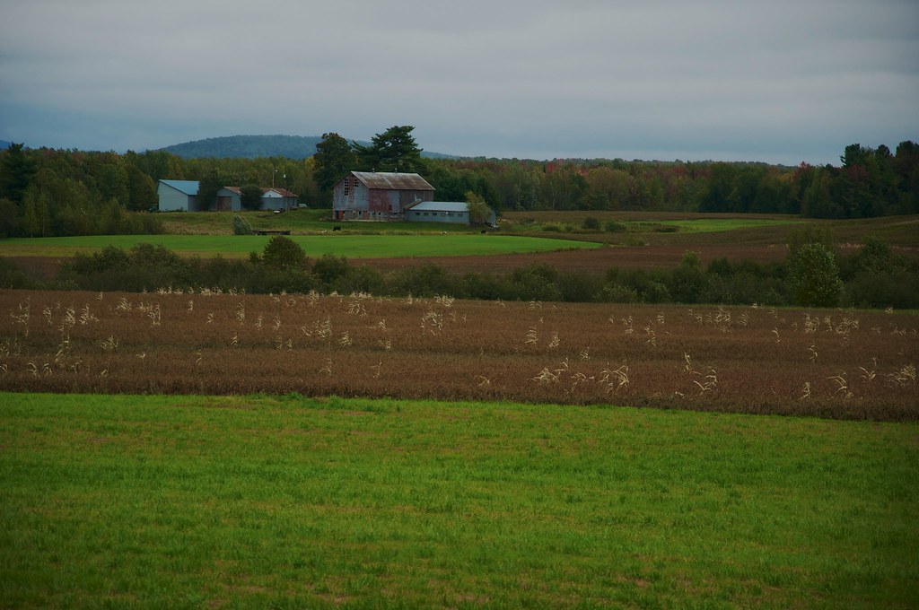
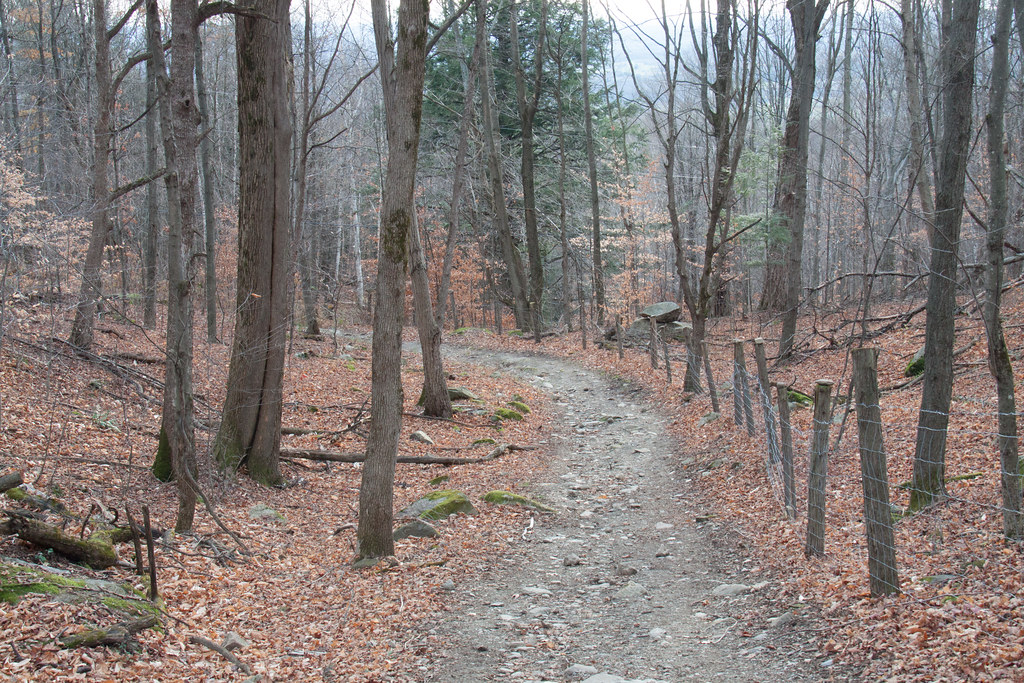
Autumn in the Country
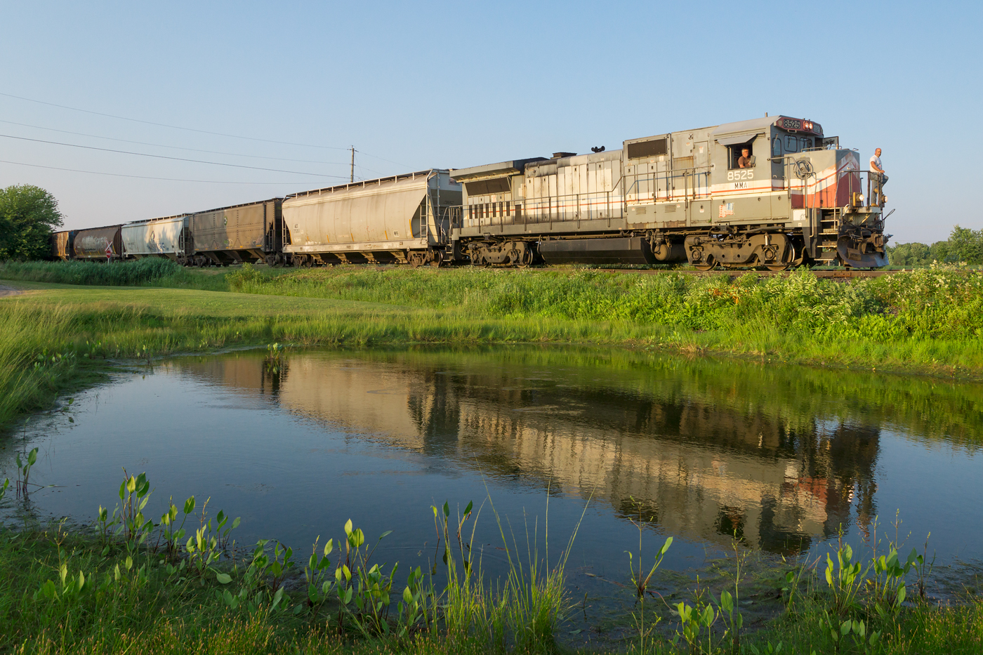
MMA 811 @ Farnham, QC
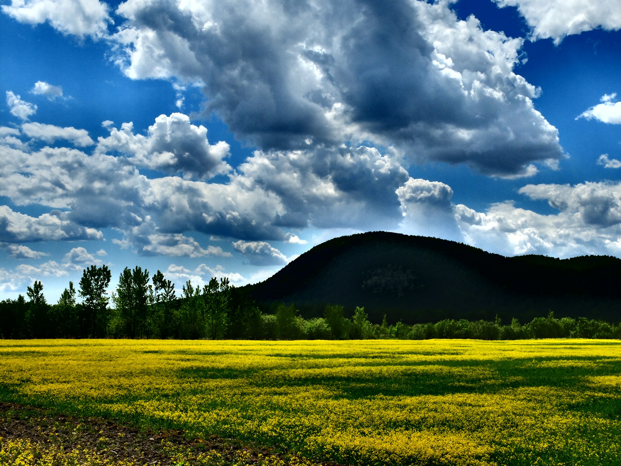
Mont Yamaska
Coucher de soliel - Sunset
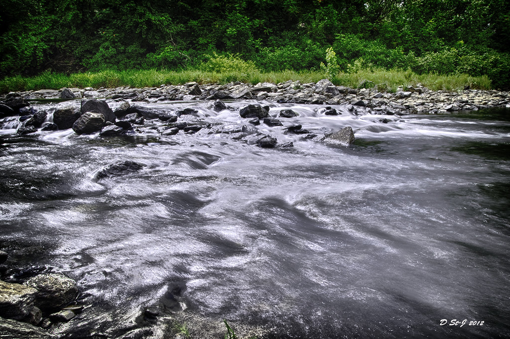
_STJ4872 Le ruisseau
Yamaska River in Brigham

Mont Yamaska
Vert tendre
Topographic Map of Rue Principale, Saint-Alphonse, QC J0E, Canada
Find elevation by address:

Places near Rue Principale, Saint-Alphonse, QC J0E, Canada:
Brigham
612 Rue Bernard
Rue Harvey
20 Rue De Nice
Granby
23 Rue De La Sarre
Rue Wellington, Cowansville, QC J2K 3G6, Canada
Granby
Ange-gardien
87 Rue Principale
152 Rue Paré
79 Rue Élisabeth
75 Rue Élisabeth
Saint-paul-d'abbotsford
College Mont-sacré-coeur
210 Rue Denison E
Rue André, Bromont, QC J2L 1N1, Canada
Bromont
Bromont
Rue Principale, Ange-Gardien, QC J0E 1E0, Canada
Recent Searches:
- Elevation of Corso Fratelli Cairoli, 35, Macerata MC, Italy
- Elevation of Tallevast Rd, Sarasota, FL, USA
- Elevation of 4th St E, Sonoma, CA, USA
- Elevation of Black Hollow Rd, Pennsdale, PA, USA
- Elevation of Oakland Ave, Williamsport, PA, USA
- Elevation of Pedrógão Grande, Portugal
- Elevation of Klee Dr, Martinsburg, WV, USA
- Elevation of Via Roma, Pieranica CR, Italy
- Elevation of Tavkvetili Mountain, Georgia
- Elevation of Hartfords Bluff Cir, Mt Pleasant, SC, USA