Elevation of Rue Gouin, Sherbrooke, QC J1N 2C3, Canada

Location: Canada > Québec > La Région-sherbrookoise > Sherbrooke > Rock Forest–saint-Élie–deauville >

Longitude: -71.978834

Latitude: 45.3729439

Elevation: 236m / 774feet

Barometric Pressure: 99KPa

Elevation Map:

elevation map of Rue Gouin, Sherbrooke, QC J1N 2C3, Canada

Satellite Map:

Satellite map of Rue Gouin, Sherbrooke, QC J1N 2C3, Canada

Related Photos:

héron grandhéronbleu ardeaherodias greatblueheron saintecatherinedehatley maraisdekatevale îledumarais estrie québec canada fujifilm xt1 nikkor300mmf45edif mirrorless old vintage legacy manual lens extérieur oiseau animal bokeh
Héron
héron grandhéronbleu ardeaherodias greatblueheron saintecatherinedehatley maraisdekatevale îledumarais estrie québec canada fujifilm xt1 nikkor300mmf45edif mirrorless old vintage legacy manual lens extérieur oiseau animal paysage rivage square format carré
Héron vigilant - watchful heron
canada river rivière québec sherbrooke easterntownships hydroelectricdam rivièreduquébec magogriver hydrosherbrooke frontenaciihydroelectricdam
Frontenac II Hydroelectric Dam
autostitch mma sherbrookeqc
360 Degrees around Sherbrooke, Quebec
mountain canada geotagged easterntownships saintecatherinedehatley quenec geo:lat=4525062298529826 geo:lon=7204806518518069
mountain view
canada quebec estrie easterntownships northhatley cantonsdelest
Waterside Views, North Hatley
cerf québec
Cerf de Virginie_IMG_2675
Bromptonville, Qc
canada skyline de downtown quebec vincent sherbrooke eastern centreville fortin cathedrale estrie townships saintmichel lest cantons
La cathédrale de Sherbrooke
fortin vincent cantons de lest estrie eastern townships landscapes centreville downtown skyline canada quebec sherbrooke
Rue Conseil, Sherbrooke
autumn canada fall automne de landscape colours quebec vincent foliage sherbrooke eastern fortin estrie townships lest cantons
L'Automne à Sherbrooke
canada quebec magog river riviere centreville downtown estrie nuit sherbrooke
Au parc Jacques-Cartier - Sherbrooke
canada de quebec vincent sherbrooke eastern fortin estrie townships lest cantons
Sherbrooke en automne
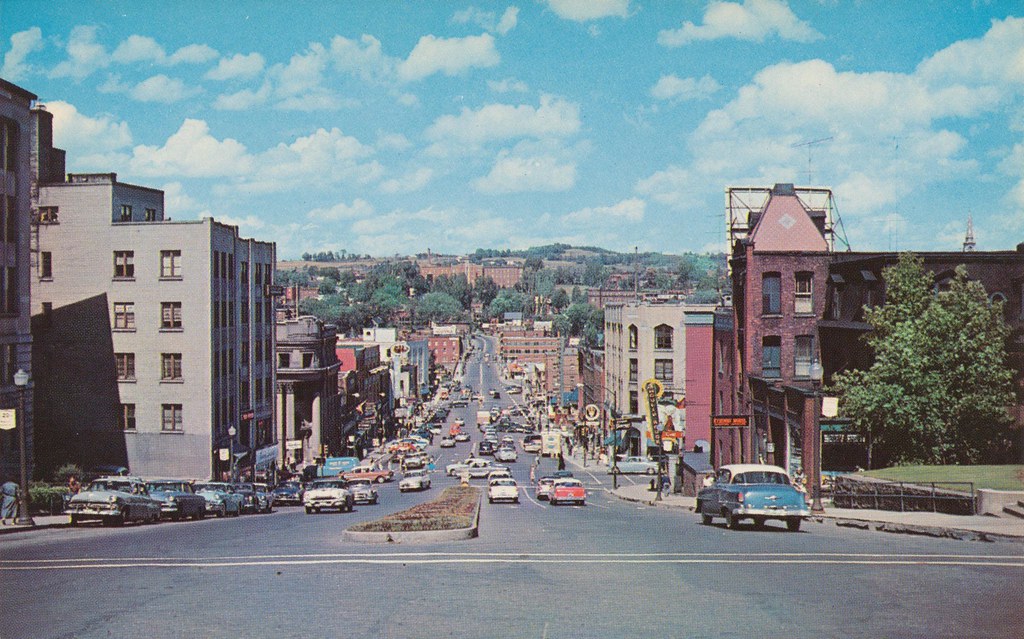
canada fall skyline automne landscape downtown quebec vincent foliage sherbrooke paysage centreville fortin
Downtown Sherbrooke
montreal magog sherbrooke snow winter christmas tree quebec canada white landscape cans2s pine trees travel view
White View
street west vintage king view quebec postcard sherbrooke
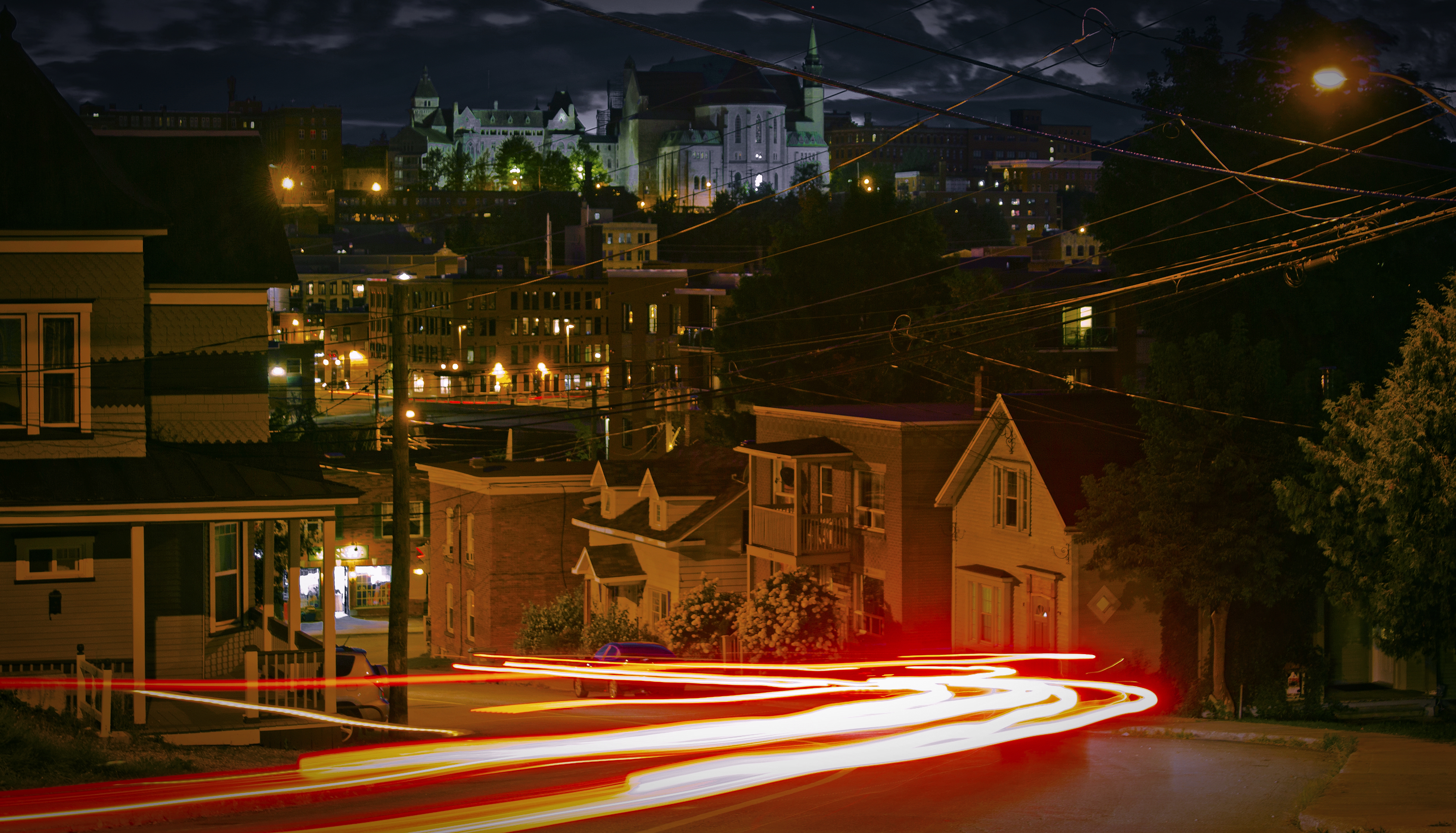
King Street West - Sherbrooke, Quebec
sunset sky urban canada church clouds canon de soleil downtown quebec coucher sherbrooke église hdr centreville cathedrale t3i lest cantons 600d
Sunset in Sherbrooke
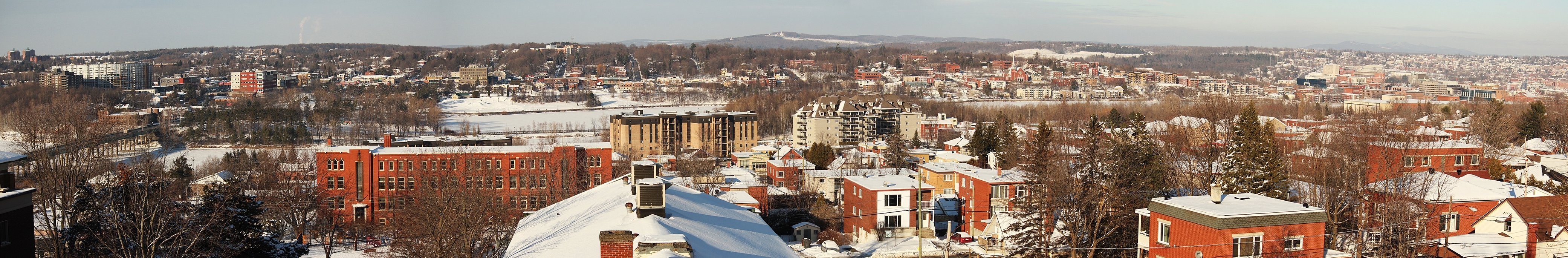
Pano sherbrooke
costa david guy gabriel home miguel project francis construction maya université vincent mc prix jasmin nicolas sherbrooke prize françois amateur built société mathieu conception lessard projet arsenault canadienne mécanique caron lavoie génie compétition beaucaire bilodeau rancourt épervier bérubé fadden barabé scgm
Faculté de génie, Université de Sherbrooke (vue arrière / rear view)DSC_4409f
canada bird animal aves québec sherbrooke oiseau anatidae commongoldeneye garrotàoeildor
GUEJ_2013-12-25_11-06-36.jpg
grandma sandra doug glynn reynolds
The 4 Amigoes
2016 août arbre brouillard brume canada eau lac manoirdessables nikond7100 noiretblanc orford paysagedegrisaille plandeau québec ©mylènegauthier été
Saut dans l'Ineffable
art mobile uploaded:by=flickrmobile flickriosapp:filter=nofilter beckibecko
Ice abstraction
adirondack first light north hatley fall colors landscape beautiful stunning manoir hovey canada quebec perfect morning fallcolors firstlight manoirhovey northhatley perfectmorning
Peaceful Setting
amériquedunord boardwalk canada cantonsdelest chemindescantons destinationdevoyage destinationtouristique easterntownships eau estrie idéedevoyage lac lacmassawippi lake lakemassawippi landscape northamerica northhatley parc park passerelle paysage photodevoyage photographiedevoyage quebec québec roadtrip tourism tourisme town travel traveldestination travelidea travellocation travelphoto travelphotography traveling travelling trip village villagedenorthhatley villageofnorthhatley voyage voyager wanderlust water ca townships trail townshipstrail
North Hatley is located at the north end of Lake Massawippi and is said to be one of the most beautiful villages in the province of Quebec in Canada.
olympus m43 lightroom omdem5 ndfilter μ43 automne fall northhatley olympusm14150f4056ll
Massawippi River
autumn canada animal automne vintage lens québec fujifilm legacy extérieur oiseau estrie héron xt1 mirrorless grandhéronbleu nikkor300mmf45edif maraisdekatevale
La patience du grand héron.
winter lake canada vintage lens landscape hiver tokina québec fujifilm paysage legacy estrie lacmagog saintecatherinedehatley xt1 bokina tokinaatx90mm25
Balade sur le lac - a walk on the lake.
olympus m43 lightroom omdem5 olympusm14150f4056ll μ43 rivièremassawippi monthatley mthatley bw northhatley massawippiriver noiretblanc riviã¨remassawippi âμ43
Severe reflection
canada landscape pond nikon québec paysage estrie parcnationaldumontorford nikon1855mmf3556 nikond5100 étangdelacuvette
Étang de la Cuvette, parc national du Mont-Orford
landscape outdoor trees path river water sky blue green
...
canada water river quebec dam québec qc estrie easterntownships
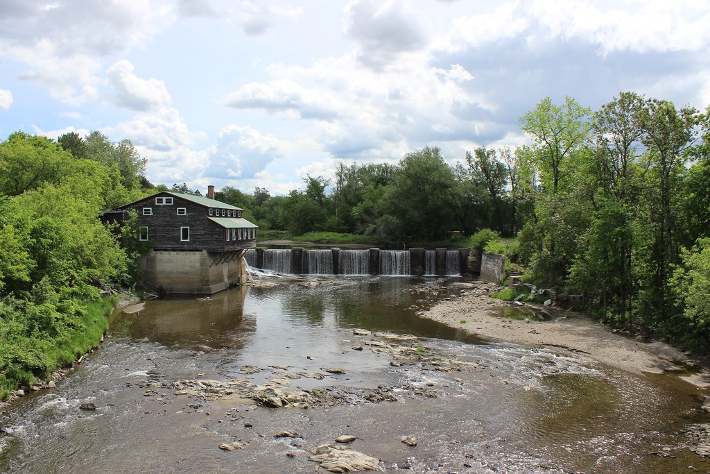
Mill and Dam in Huntingville, Qc
The Massawippi river
canada qc québec estrie easterntownships bridge coveredbridge licensed quebec dreamstime rf123 500px 123rf shutterstock shutter
Winter landscape with Eustis Covered Bridge
automne cantons de lest orford
Déjà l`automne
Matin d'octobre sur Sherbrooke
qc québec quebec estrie winter snow hiver neige bridge coveredbridge easterntownships licensed fotolia shutterstock shutter adobestock adobe
Eastern Townships Landscape with Eustis Covered Bridge
canada river quebec rivière québec qc estrie easterntownships
Massawippi River