Elevation of Rue des Fours, Saint-Alban, France
Location: France > Ain > Saint-alban >
Longitude: 5.4537724
Latitude: 46.0954469
Elevation: 524m / 1719feet
Barometric Pressure: 95KPa
Elevation Map:
Satellite Map:
Related Photos:

Le Lac de Nantua (Ain)
Verte campagne Française
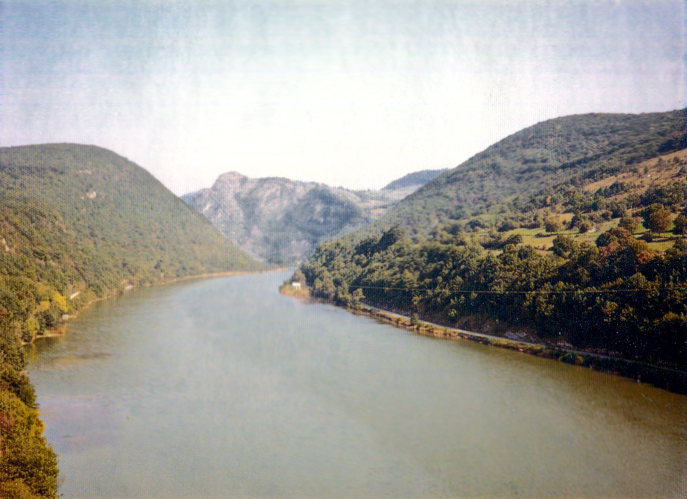
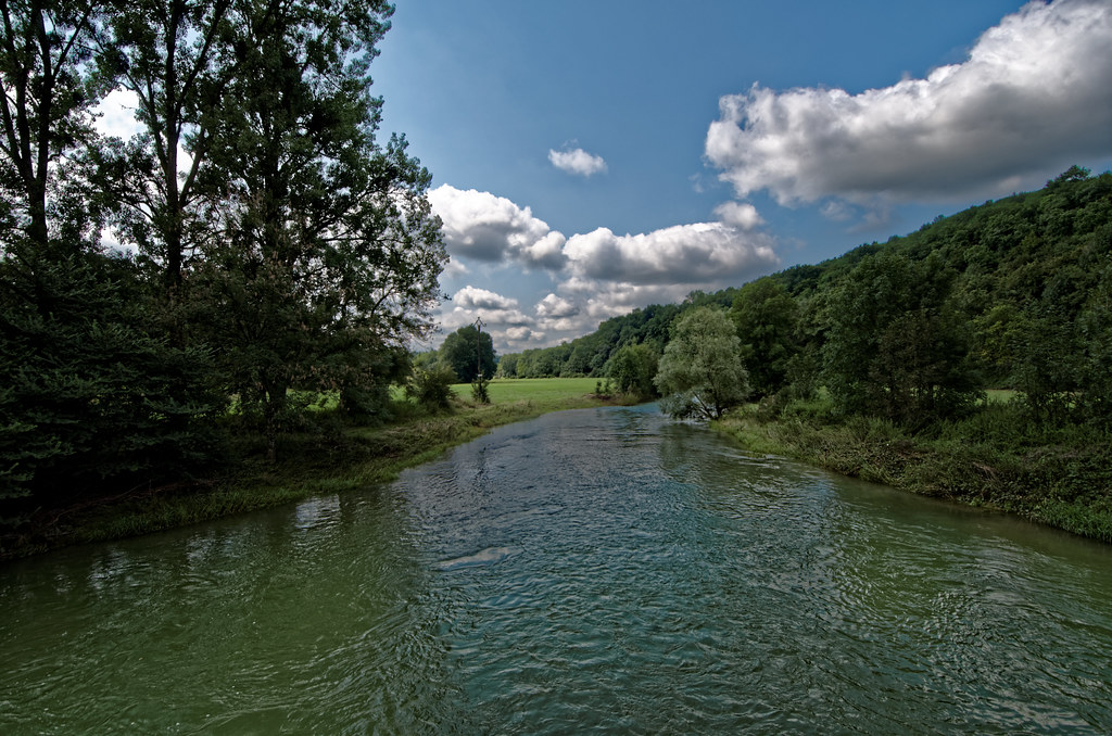
Riviere d'Ain, Serrieres
Nantua - Abbatiale Saint-Michel

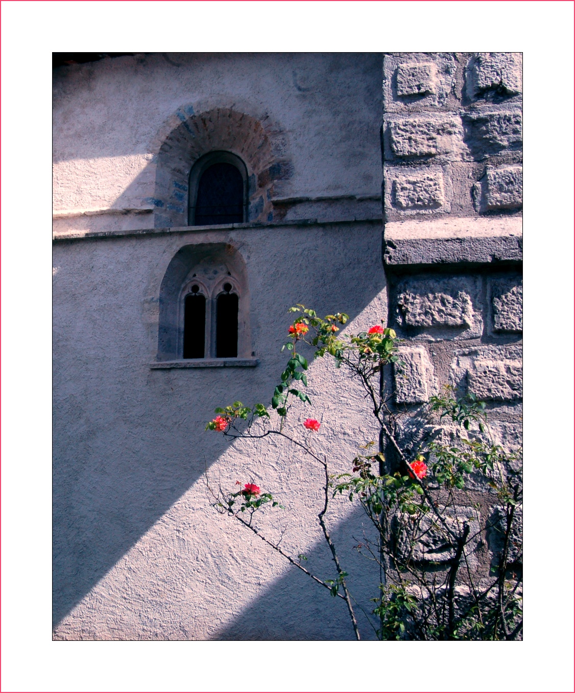
La Chapelle de Mornay (Ain)
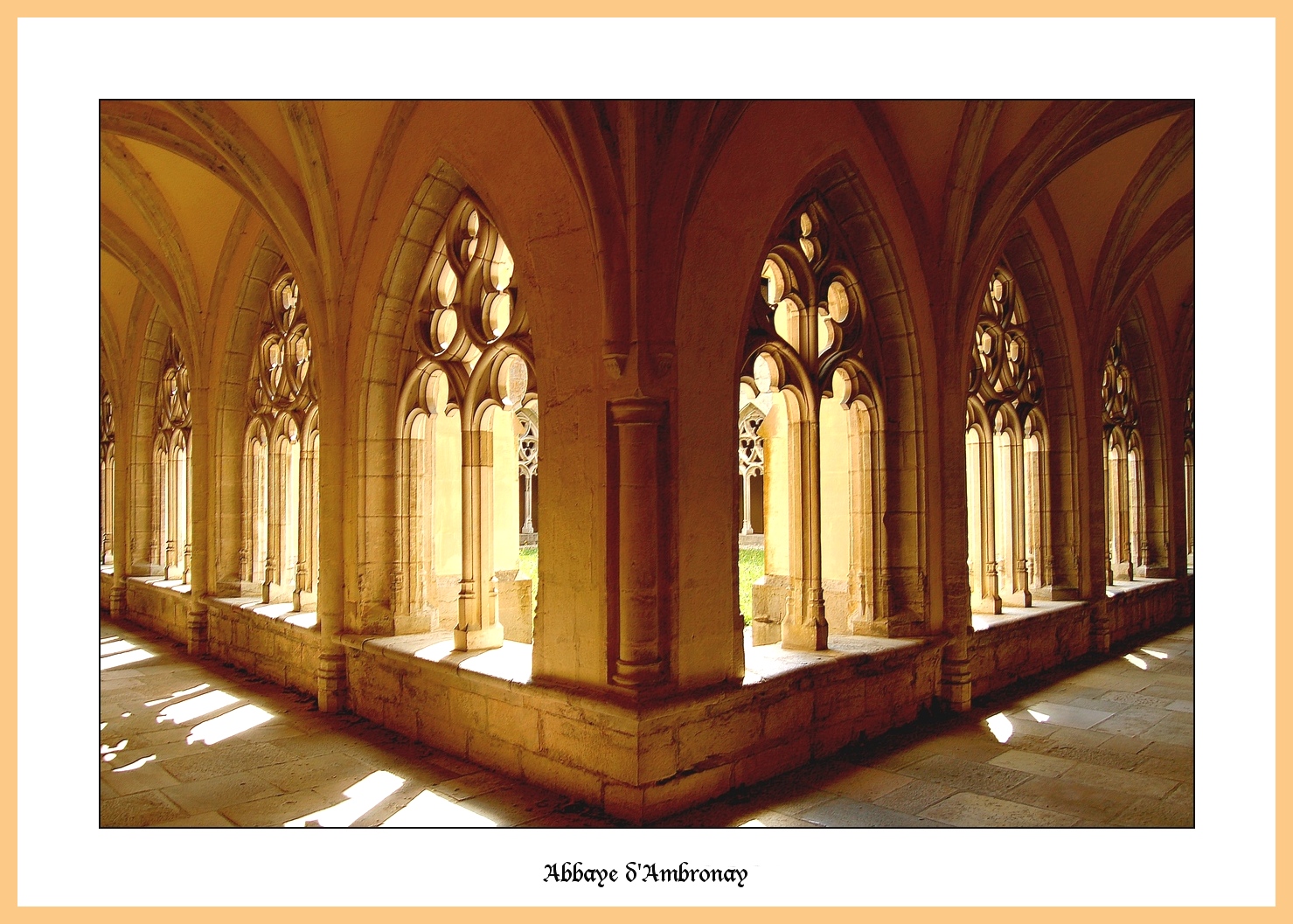
Kreuzgang der Benediktiner-Abtei von Ambronay (Ain)
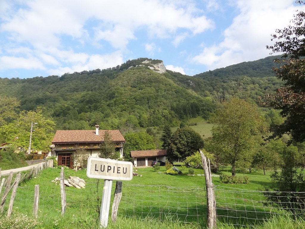
Lupieu, un village Français

Red poppies
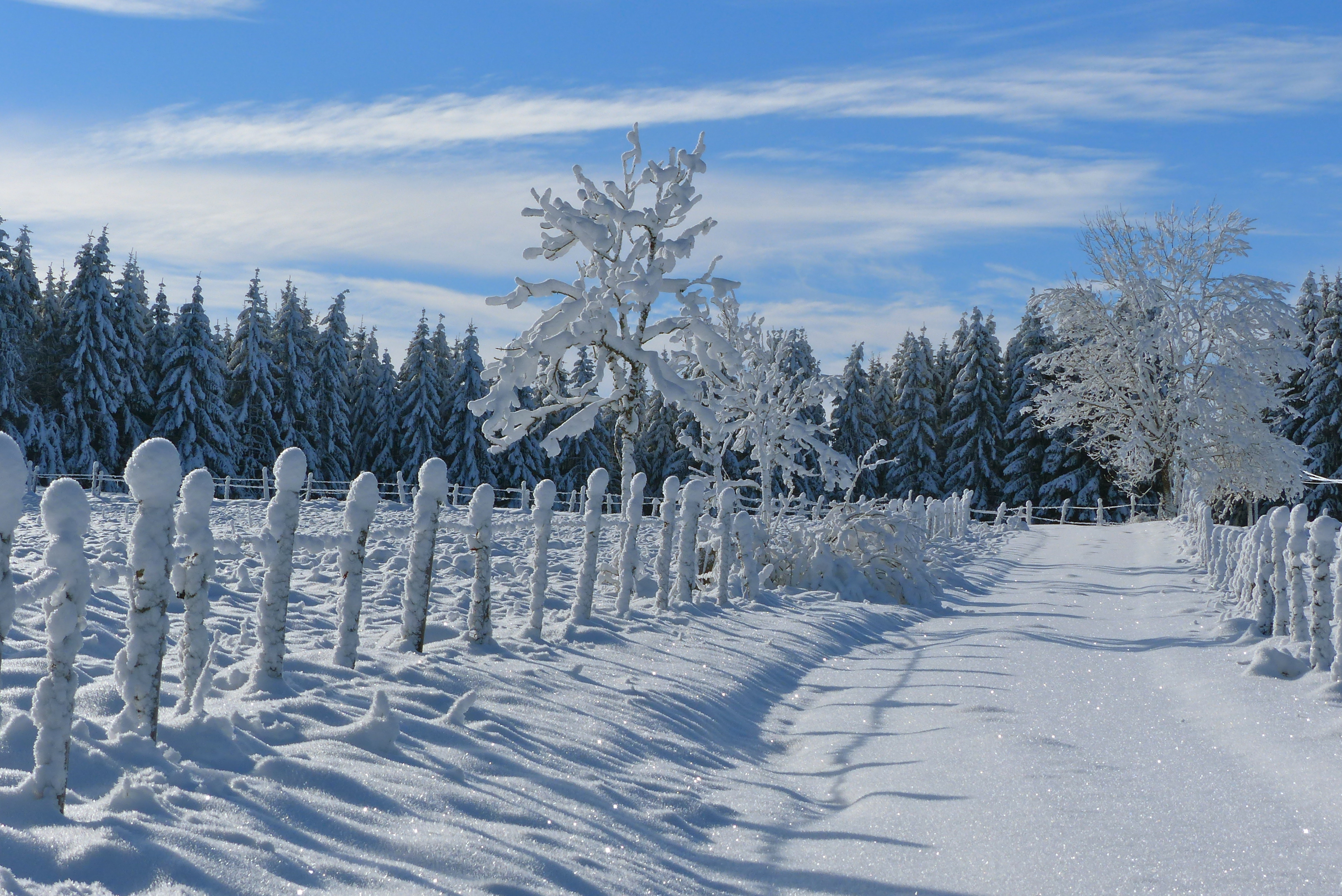
P1170108- Chemin d'hiver - Balade raquettes combe de Léchaud 18 janvier 2015

Rayon de soleil
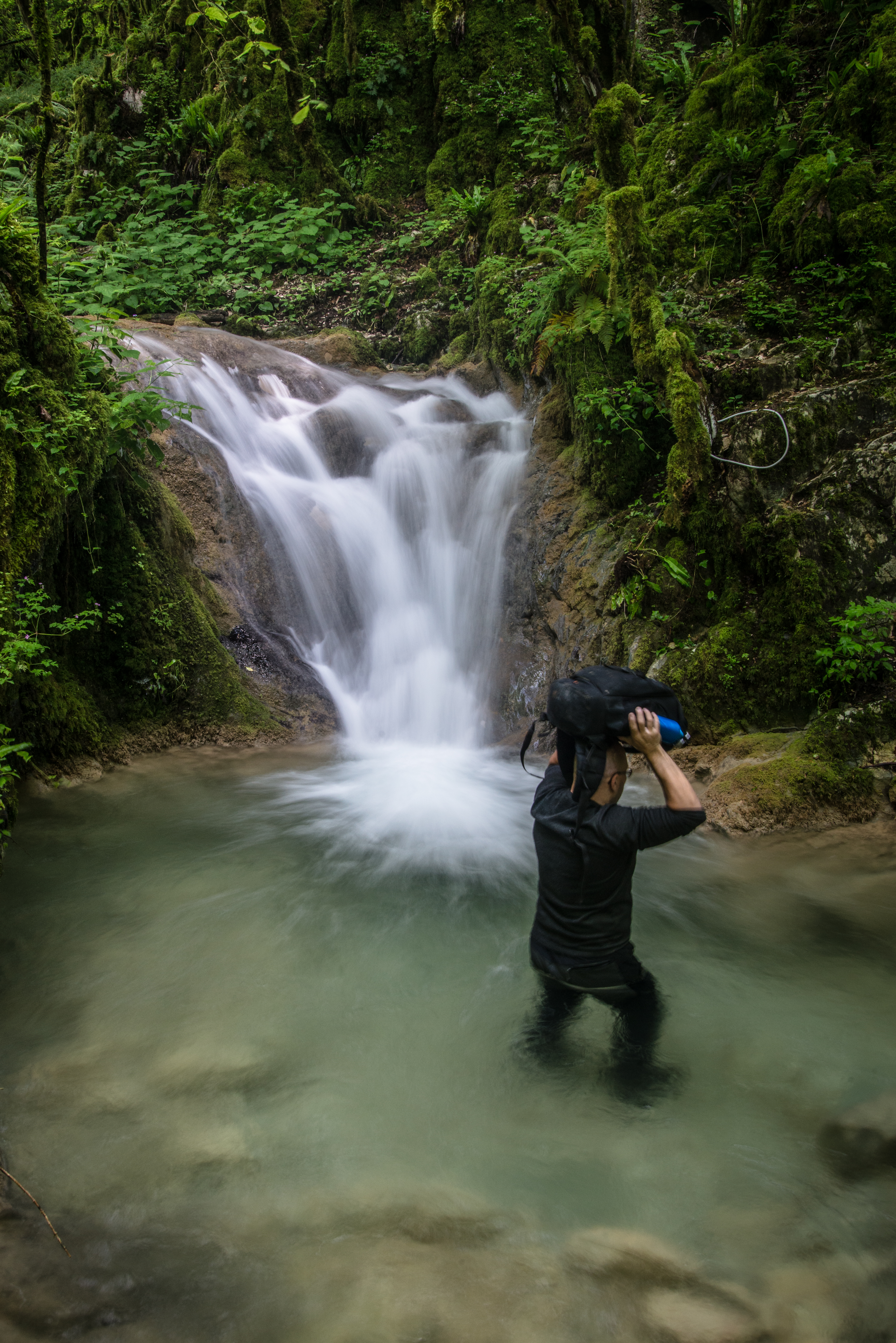
Cold water
A la découverte du château des Allymes - Bugey - Ain
France - Lacoux
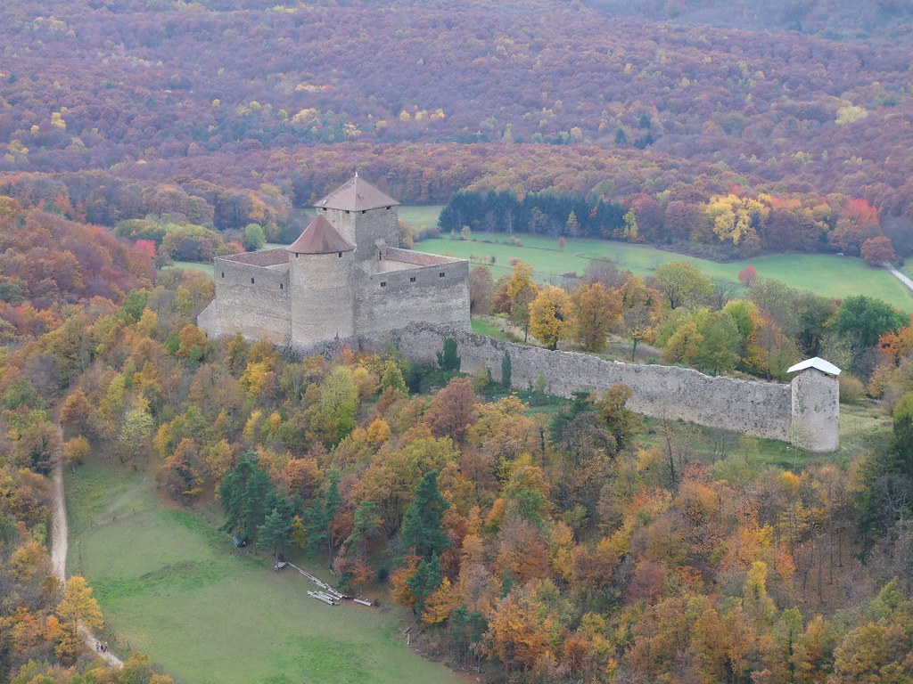
Ain - Bugey - Château des Allymes

Château des Allymes - Bugey - Ain
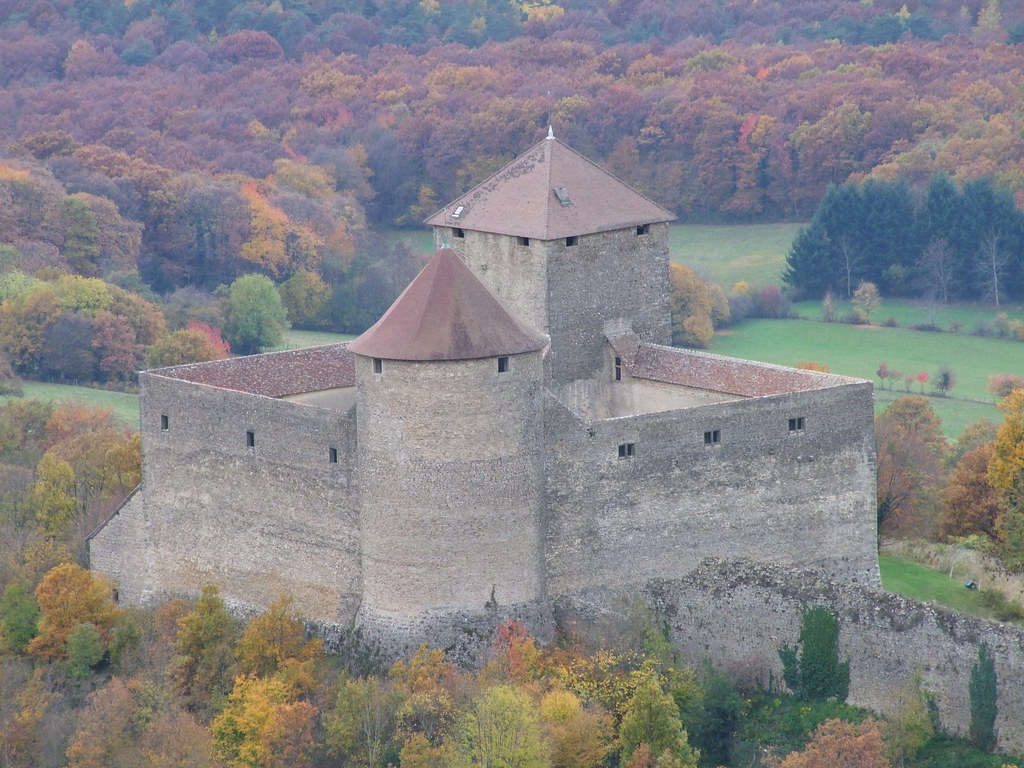
Château des Allymes - Bugey - Ain
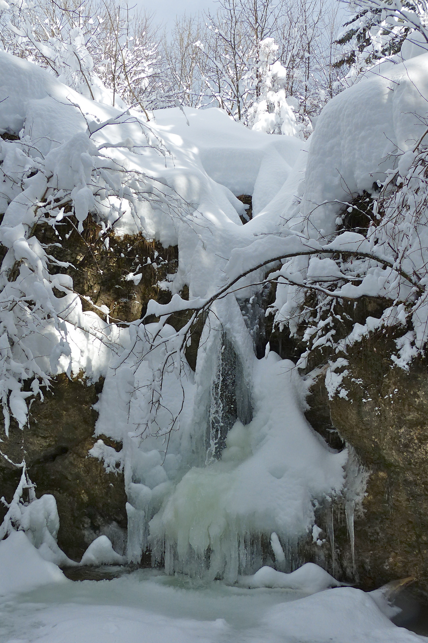
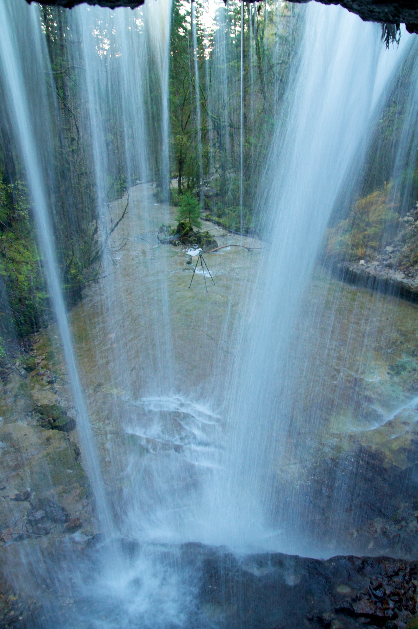
P1170495- Cascade du Sautoux - Balade raquettes Brenod 02 février 2015
Le Suran - Ain
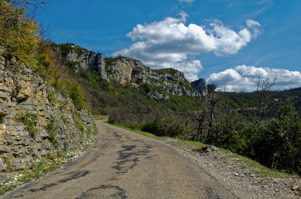
Sur les routes du Bugey

Enjambons le cours du Suran
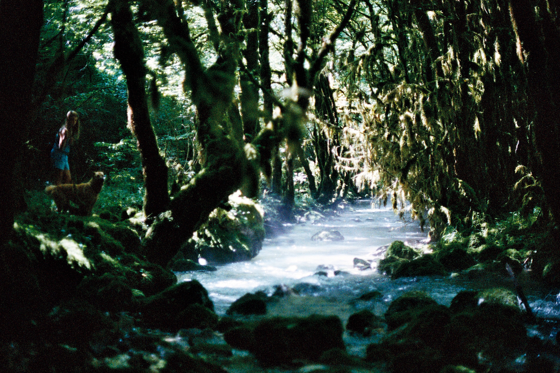
Dagobah.
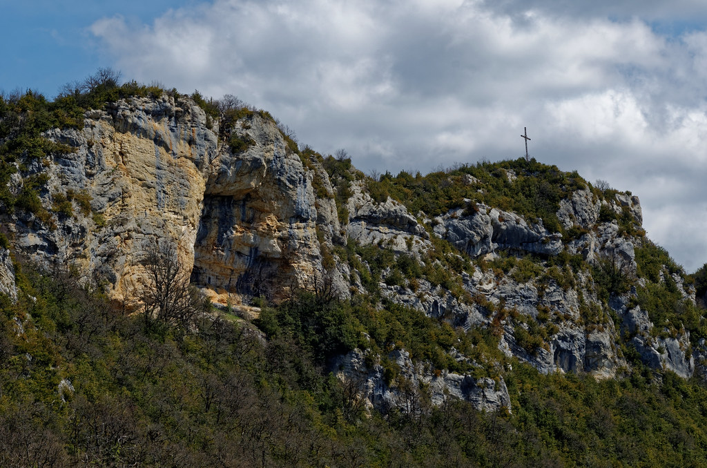
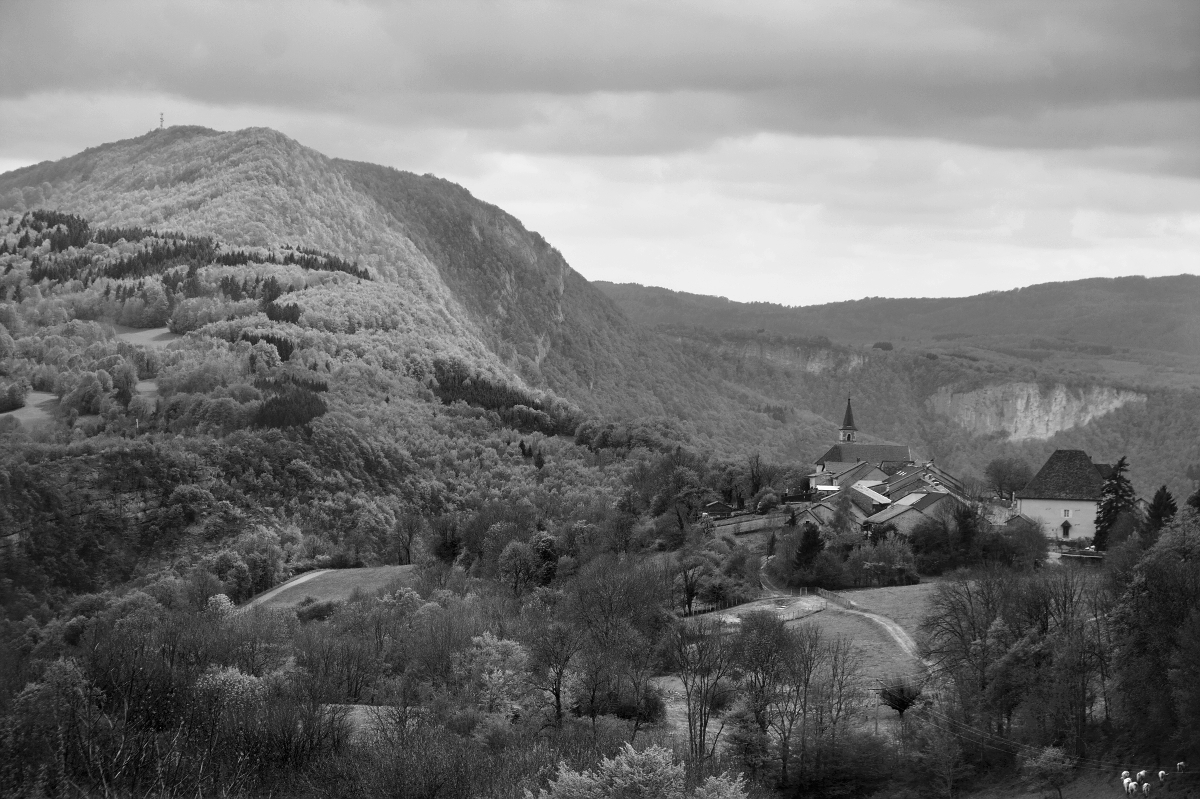
Le massif d'Evosges - Bugey - Ain
Les chemins
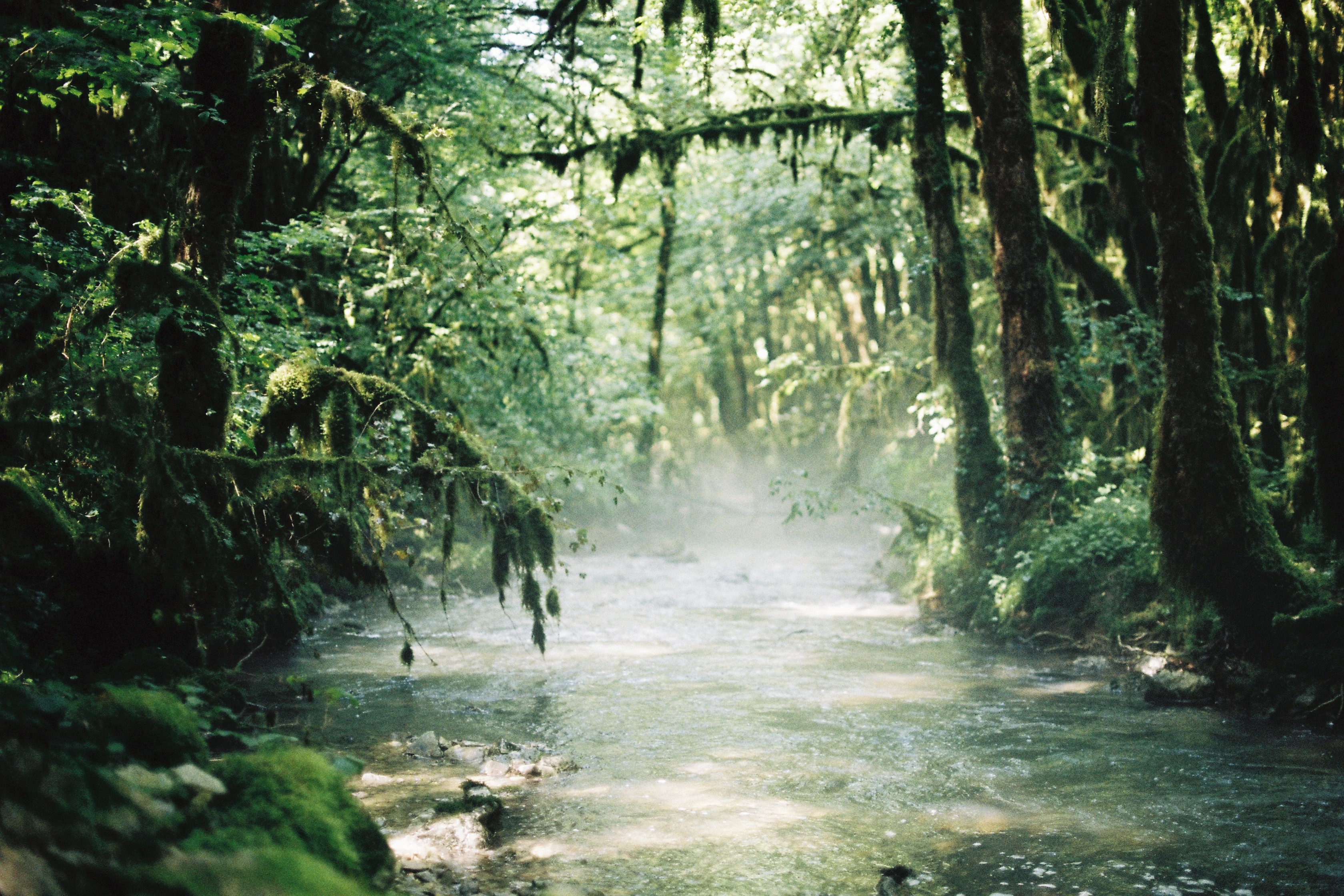
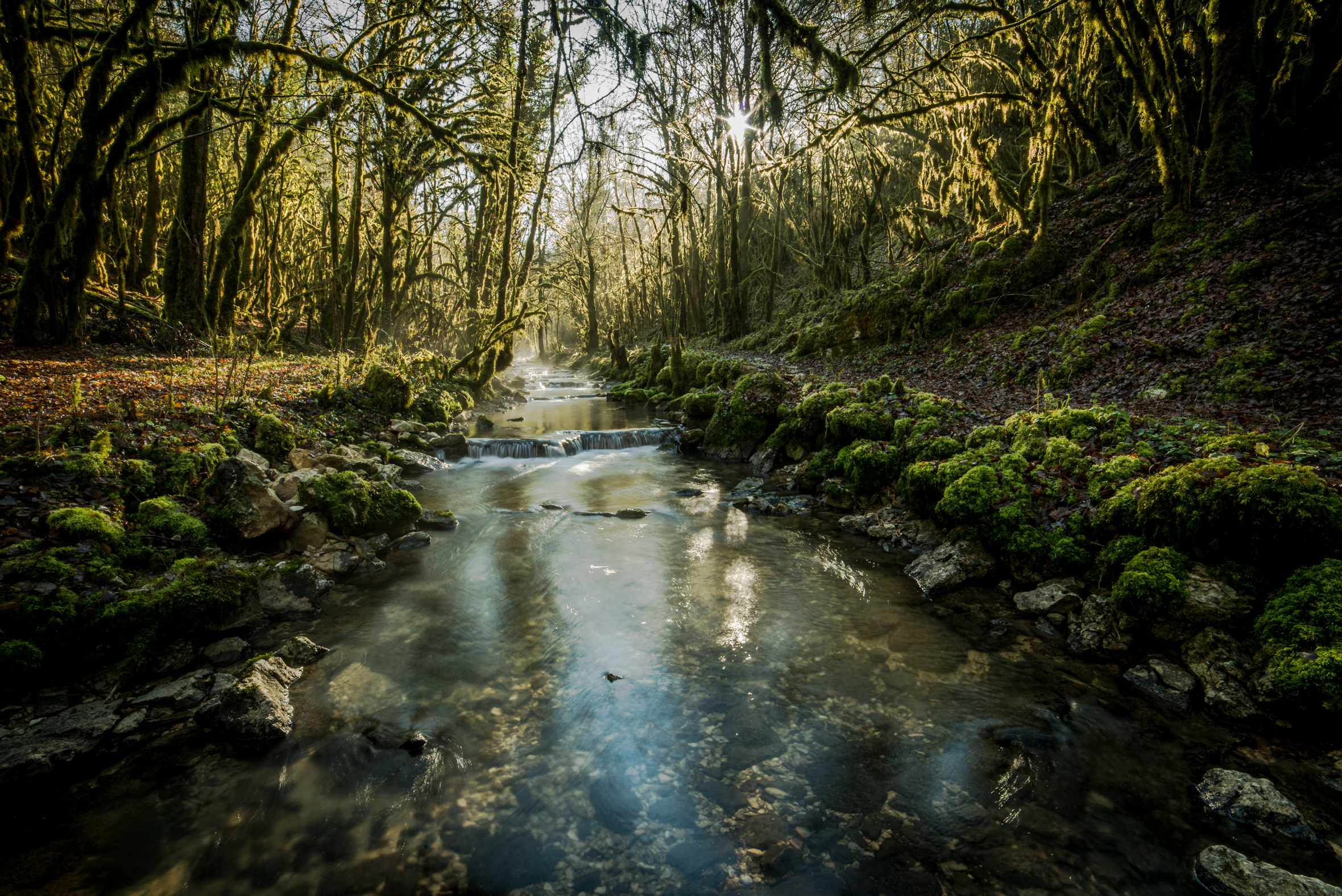
Cinematic forest.

Pure Morning
Le Landeyron
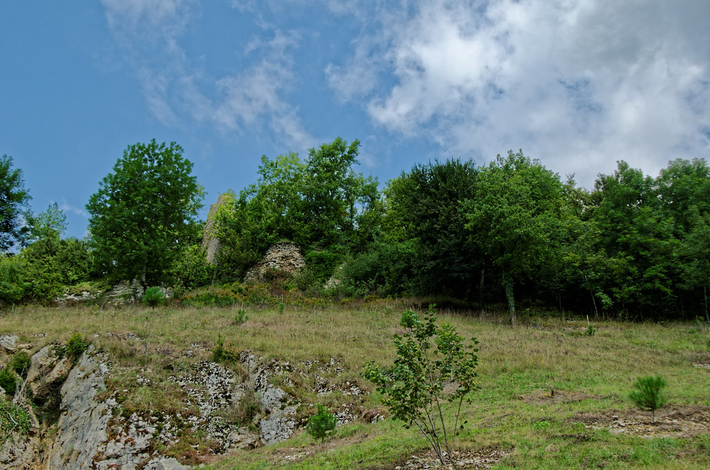
Ruines du Château de Saint André en Revermont - Ain
Topographic Map of Rue des Fours, Saint-Alban, France
Find elevation by address:

Places near Rue des Fours, Saint-Alban, France:
Saint-alban
Bohas-meyriat-rignat
Bohas Village, Bohas-Meyriat-Rignat, France
Villereversure
D91a
Pont-d'ain
Route de Valuisant, Villereversure, France
Ambronay
8 Rue des Iris, Ambronay, France
10 Route de Salles, Tossiat, France
Tossiat
Varambon
13 Varambon, Varambon, France
Corveissiat
Nantua
Ambérieu-en-bugey
Base Aérienne 278
Jasseron
59 Donsonnas E, La Tranclière, France
Montée de Bellegarde, Priay, France
Recent Searches:
- Elevation of Leguwa, Nepal
- Elevation of County Rd, Enterprise, AL, USA
- Elevation of Kolchuginsky District, Vladimir Oblast, Russia
- Elevation of Shustino, Vladimir Oblast, Russia
- Elevation of Lampiasi St, Sarasota, FL, USA
- Elevation of Elwyn Dr, Roanoke Rapids, NC, USA
- Elevation of Congressional Dr, Stevensville, MD, USA
- Elevation of Bellview Rd, McLean, VA, USA
- Elevation of Stage Island Rd, Chatham, MA, USA
- Elevation of Shibuya Scramble Crossing, 21 Udagawacho, Shibuya City, Tokyo -, Japan