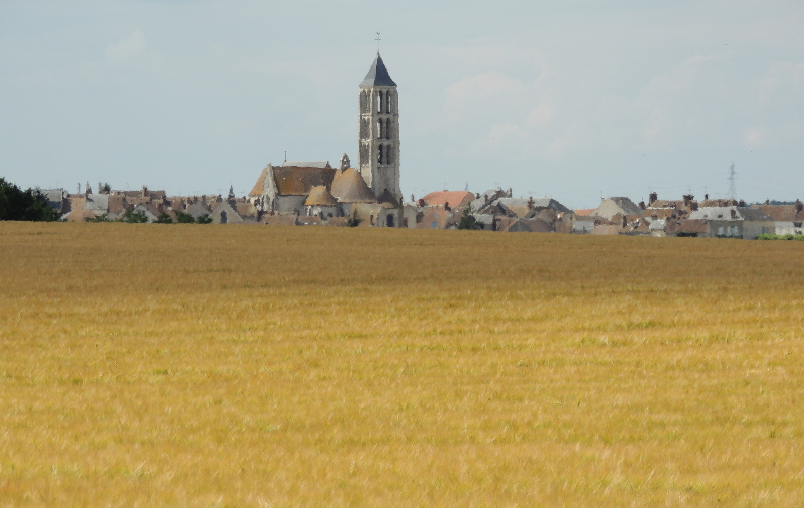
Elevation of Rue de la Louvetière, Château-Landon, France
Location: France > Île-de-france > Seine-et-marne > Château-landon >
Longitude: 2.7334417
Latitude: 48.1610257
Elevation: 101m / 331feet
Barometric Pressure: 100KPa
Elevation Map:
Satellite Map:
Related Photos:
Glorious view from this random restaurant by the river

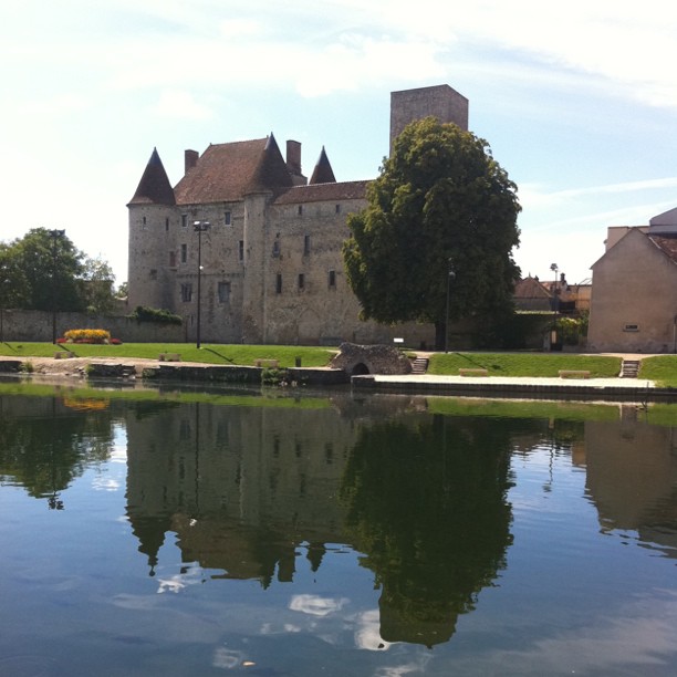
Le Chateau de Nemours

view of the Loing River from Chateau de Nemours

view of the Loing River from Chateau de Nemours

L'etang, son chalet, son cycliste

Dordives - Etangs du Renard
Sur la route de l'été ~ On the road of Summer
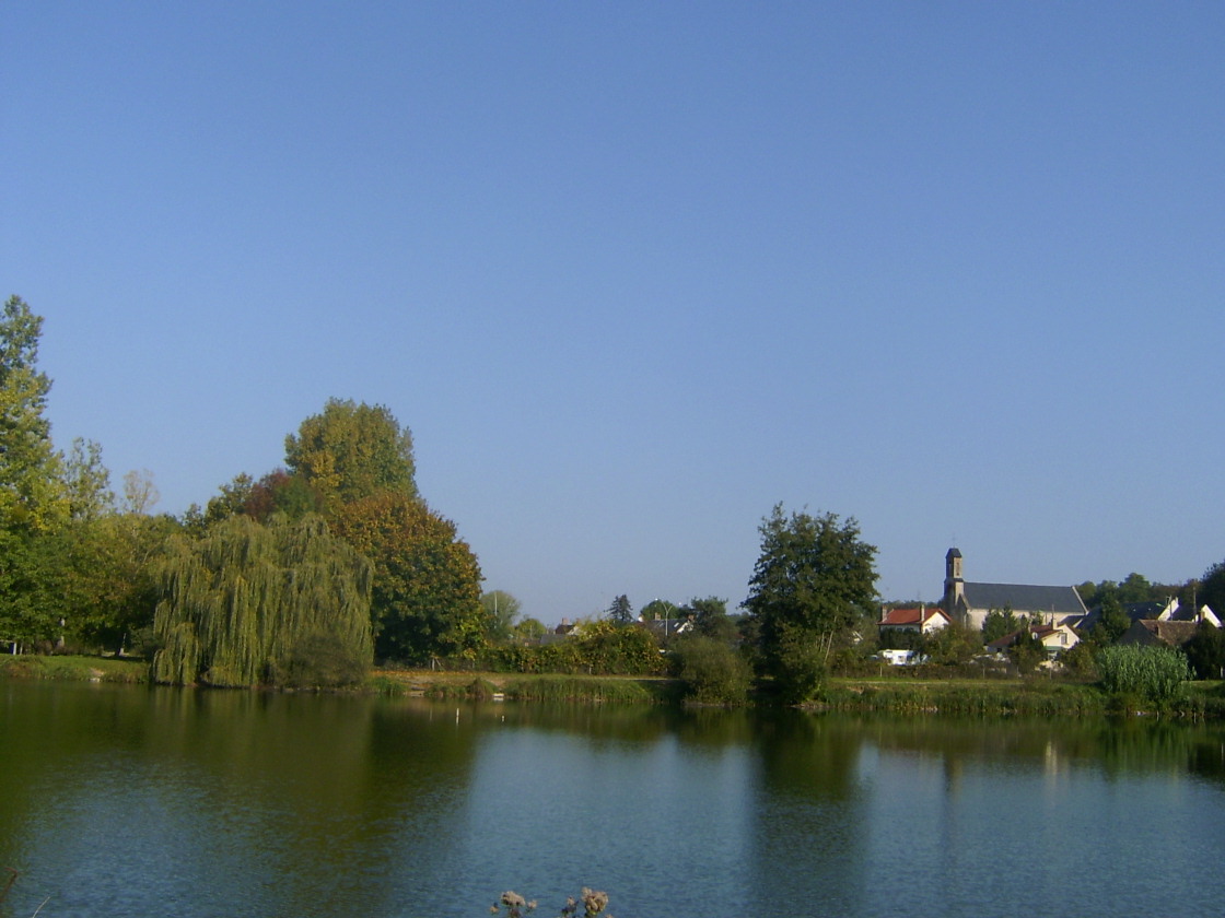
Eglise vue du lac
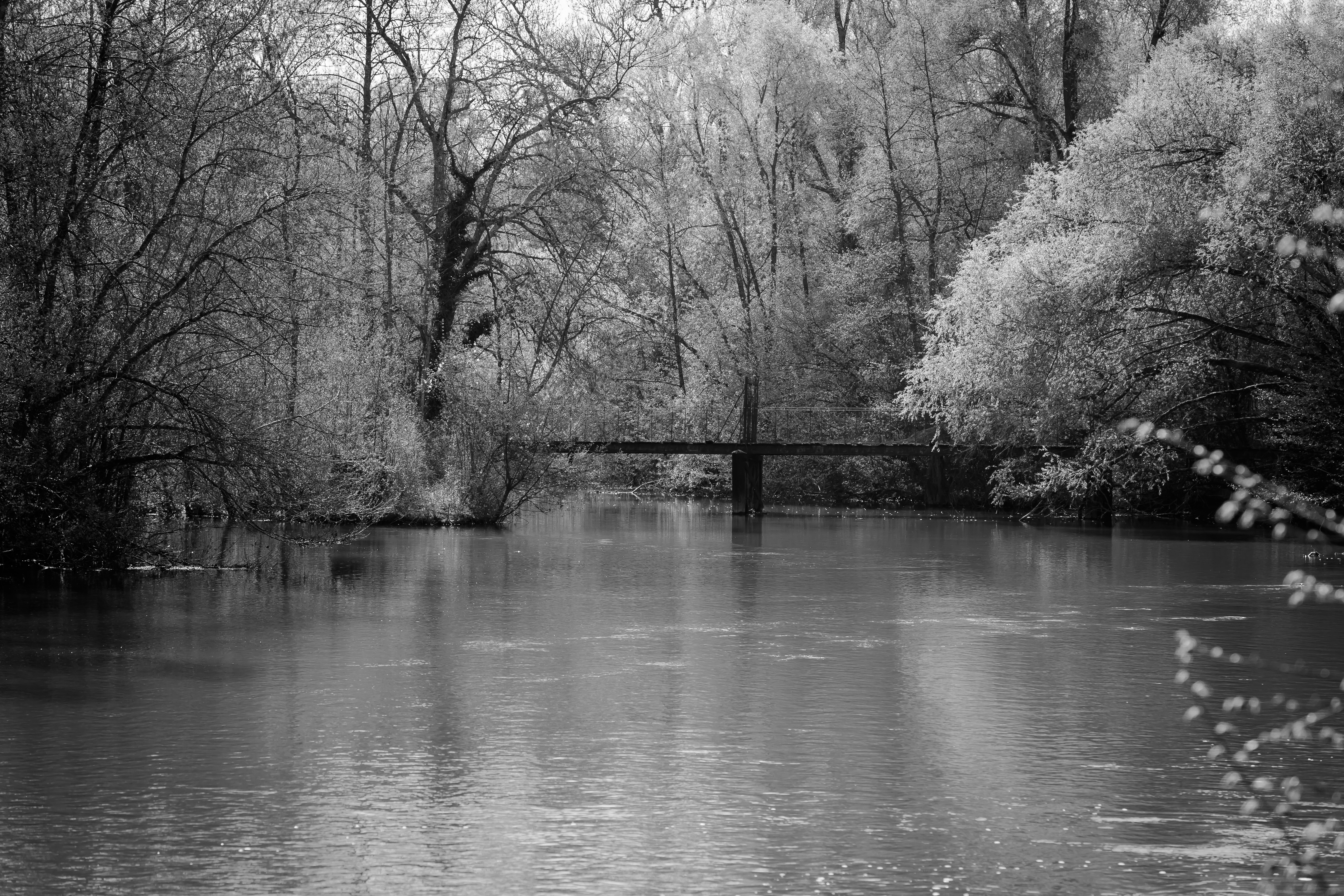
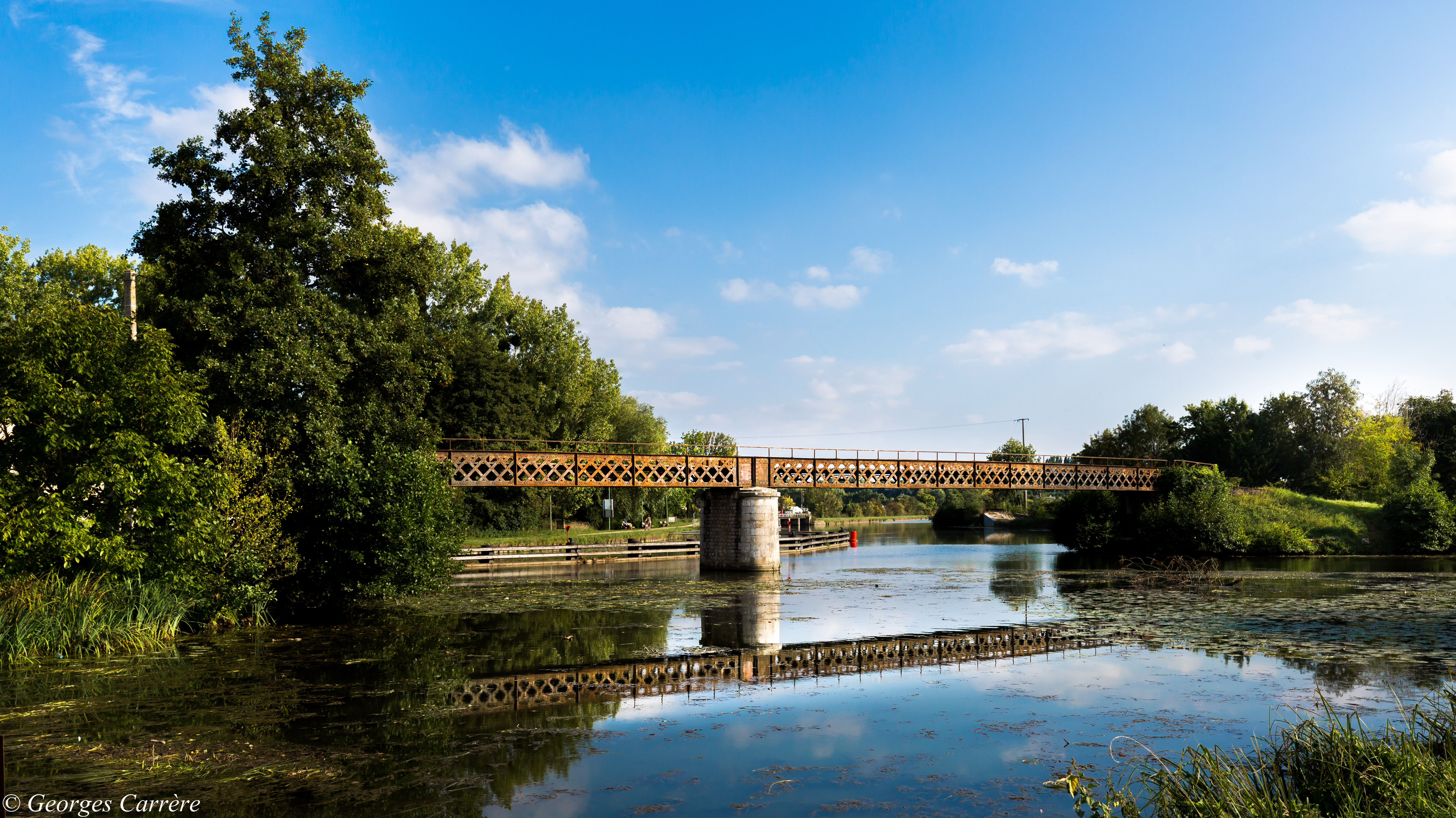
Pont passerelle sur le Loing - Nargis
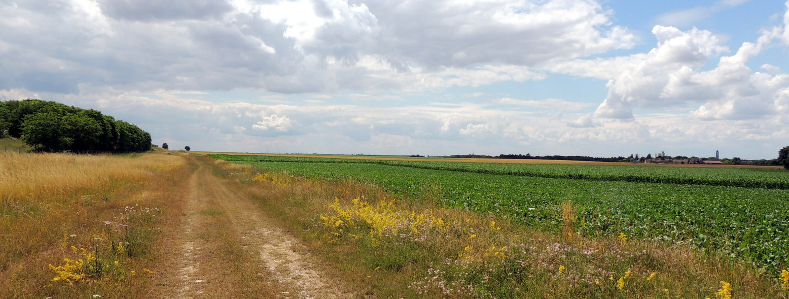
16-Chemin de César direction Château-Landon-007
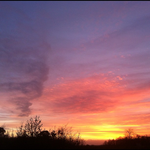
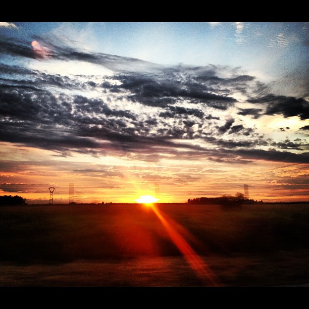
#sky #sunset #france #sun #cloud #iphonography #iphone #nofilters

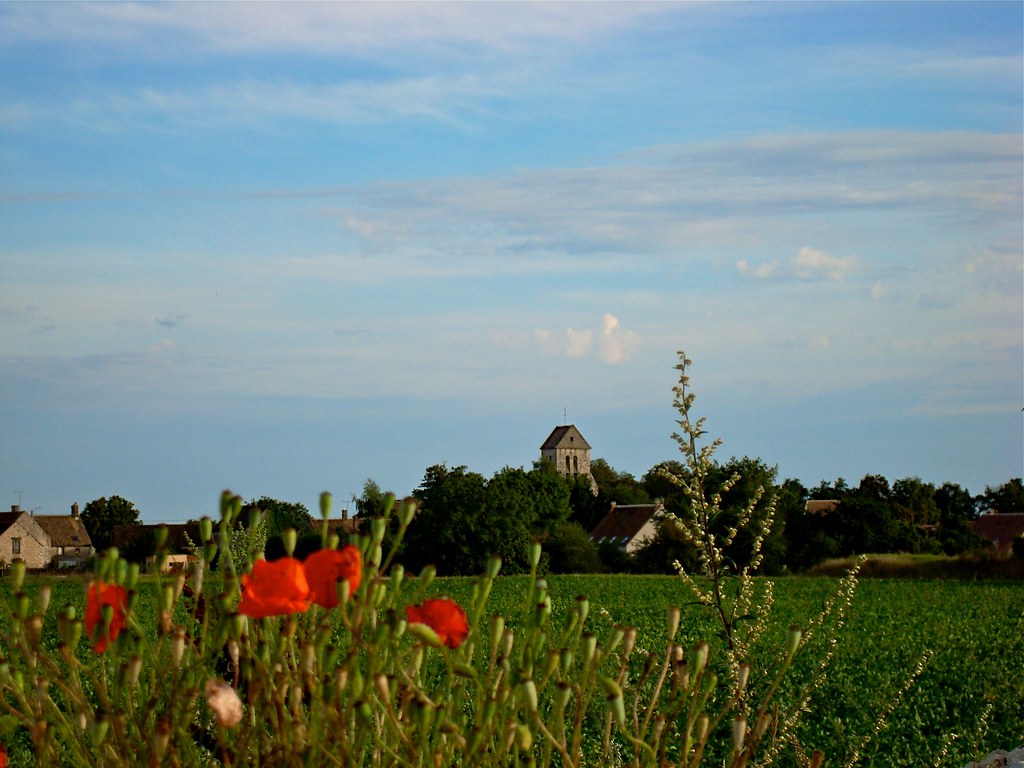
Colza sous orage
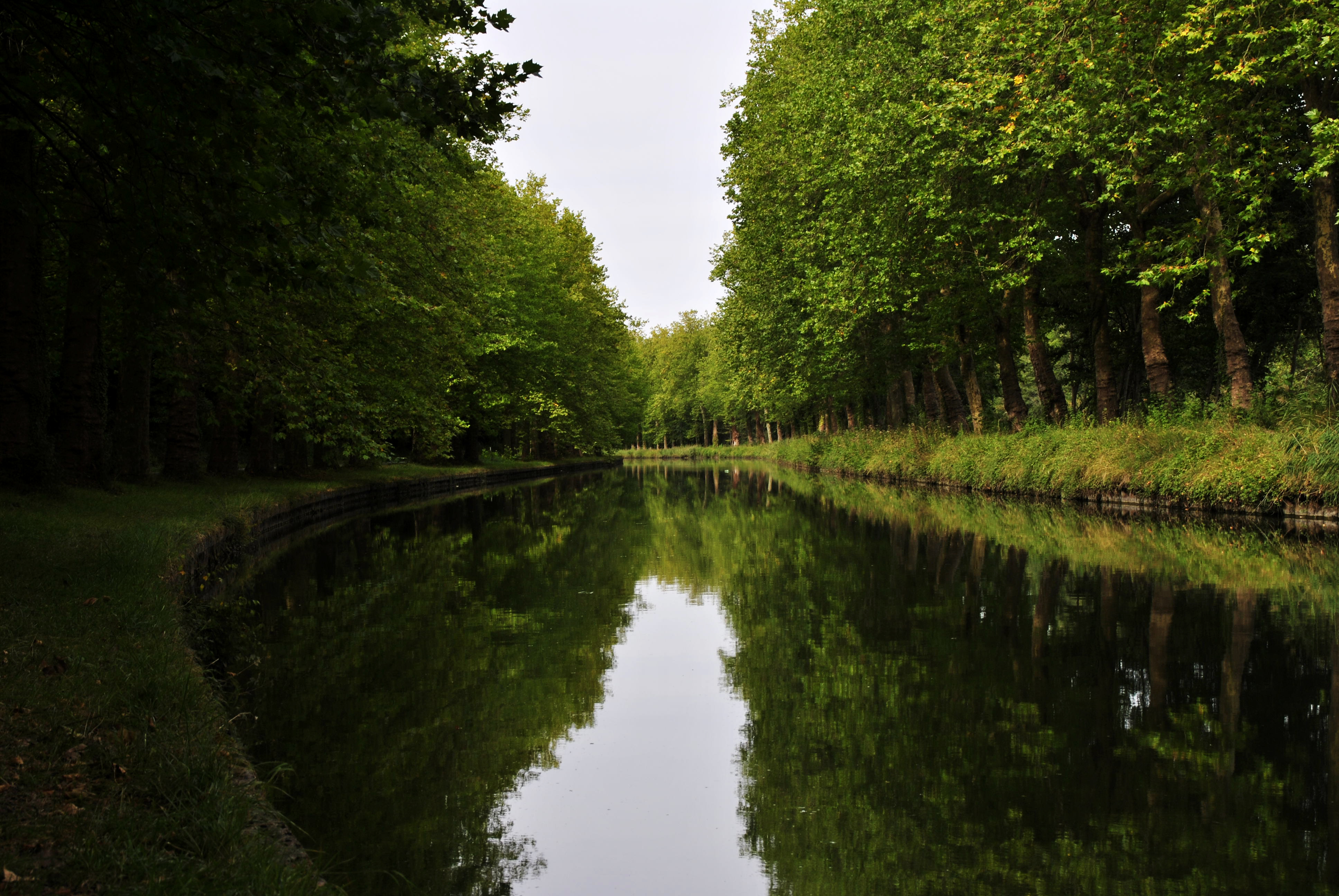
Un canal paisible ...
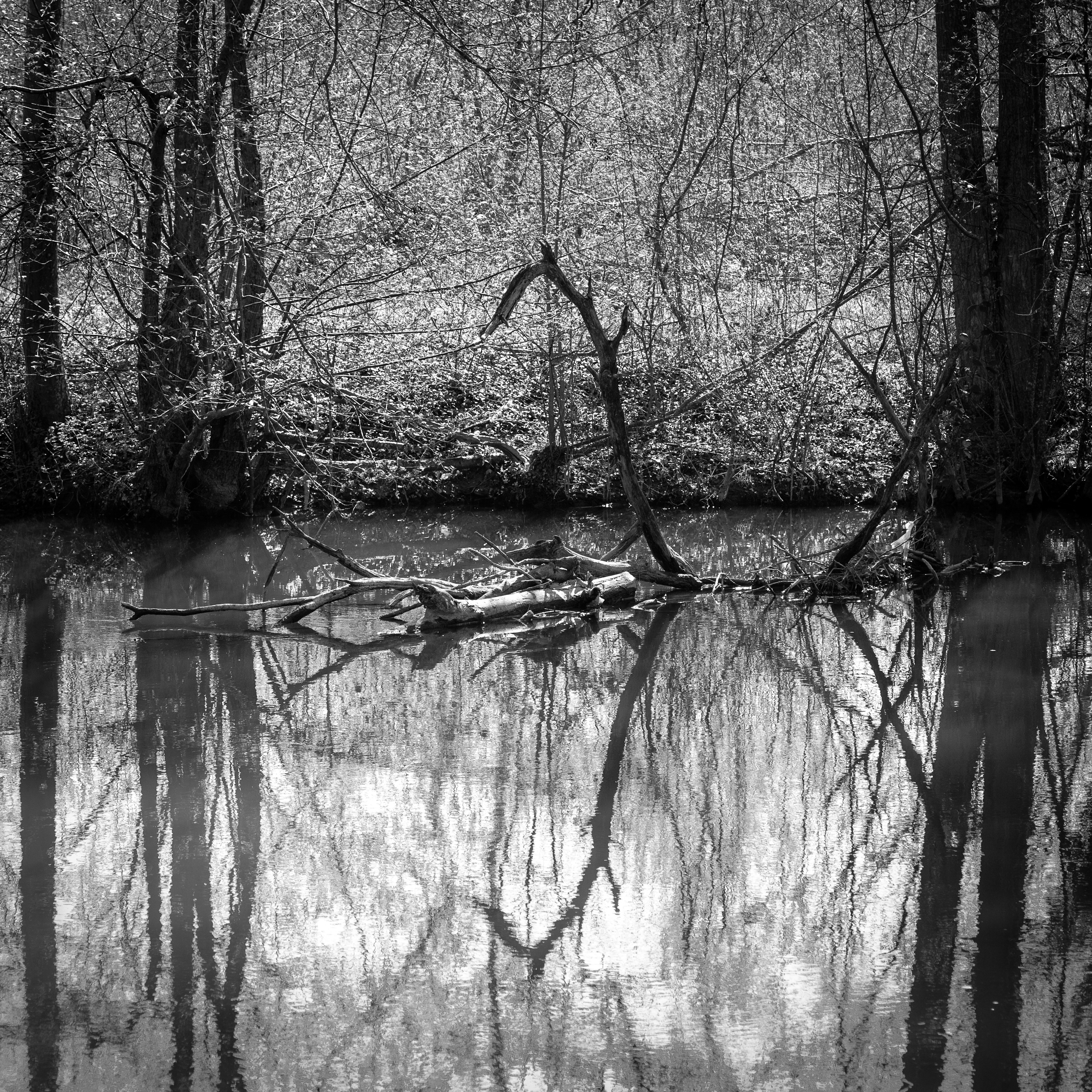
Twist - Le Loing
21-Chemin de César direction Château-Landon-019
20-Chemin de César direction Château-Landon-015
Canal du loing

Barging north
#sun #sunset #coucherdesoleil #coucher #soleil #sky #landscape #paysage #paris #parisbyiphone #iphone #iphone4s #rzpix

A perte de vue

046 Coucher de soleil à Moncourt
La Beauce

Souppes sur Loing

gâtinais

051 Coucher de soleil à Moncourt
Topographic Map of Rue de la Louvetière, Château-Landon, France
Find elevation by address:

Places near Rue de la Louvetière, Château-Landon, France:
Château-landon
16 Avenue de la Libération, Fontenay-sur-Loing, France
Fontenay-sur-loing
1 Place de l'Église, Ormesson, France
Ormesson
Gondreville
8 Rue Gambetta, Gondreville, France
90 Rue de Bois Rond, Pannes, France
Pannes
Rue de Vesines, Pannes, France
Montargis
4 Route de Montargis, Mignerette, France
Villevoques
Mignerette
Rue du Pont Feuillet, Pannes, France
16 Rue du Bignon, Villevoques, France
37 Chemin de la Citadelle, Chevillon-sur-Huillard, France
Chevillon-sur-huillard
Lorcy
8 Le Moulinet, Lorcy, France
Recent Searches:
- Elevation of Sattva Horizon, 4JC6+G9P, Vinayak Nagar, Kattigenahalli, Bengaluru, Karnataka, India
- Elevation of Great Brook Sports, Gold Star Hwy, Groton, CT, USA
- Elevation of 10 Mountain Laurels Dr, Nashua, NH, USA
- Elevation of 16 Gilboa Ln, Nashua, NH, USA
- Elevation of Laurel Rd, Townsend, TN, USA
- Elevation of 3 Nestling Wood Dr, Long Valley, NJ, USA
- Elevation of Ilungu, Tanzania
- Elevation of Yellow Springs Road, Yellow Springs Rd, Chester Springs, PA, USA
- Elevation of Rēzekne Municipality, Latvia
- Elevation of Plikpūrmaļi, Vērēmi Parish, Rēzekne Municipality, LV-, Latvia