Elevation of Royal Oaks Dr, Redding, CA, USA
Location: United States > California > Shasta County > Redding > Sunset Terrace >
Longitude: -122.41667
Latitude: 40.5898368
Elevation: -10000m / -32808feet
Barometric Pressure: 295KPa
Elevation Map:
Satellite Map:
Related Photos:

Sundial Bridge at Turtle Bay (II)

Sundial Bridge at Turtle Bay
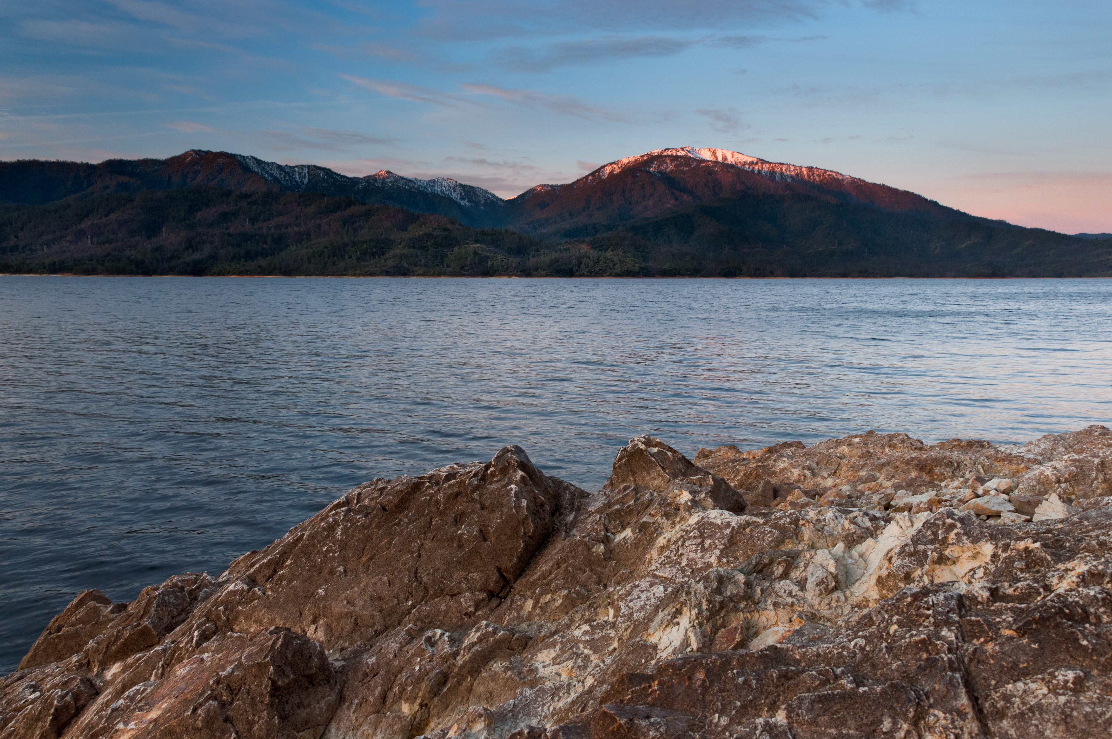
Mt. Shasta

Mount Shasta

Self Portrait - 1

Model For A Day

Smoke!

Interstate 5 Southbound Shasta Valley Freeway approaching 1/4 = 0.25 mile to Exit 681A - Twin View Blvd. followed by Exit 680 - State Highway Junction Route CA-299 Lake Blvd. 3/4 = 0.75 miles with this overhead sign located at

View from the top

Our Lady of Mercy Parish

FootBridge Over The Sacramento River
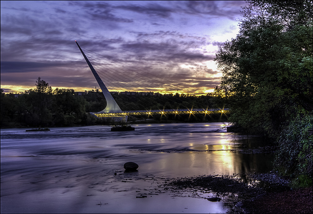
Calatrava's Sundial Bridge, Redding, California

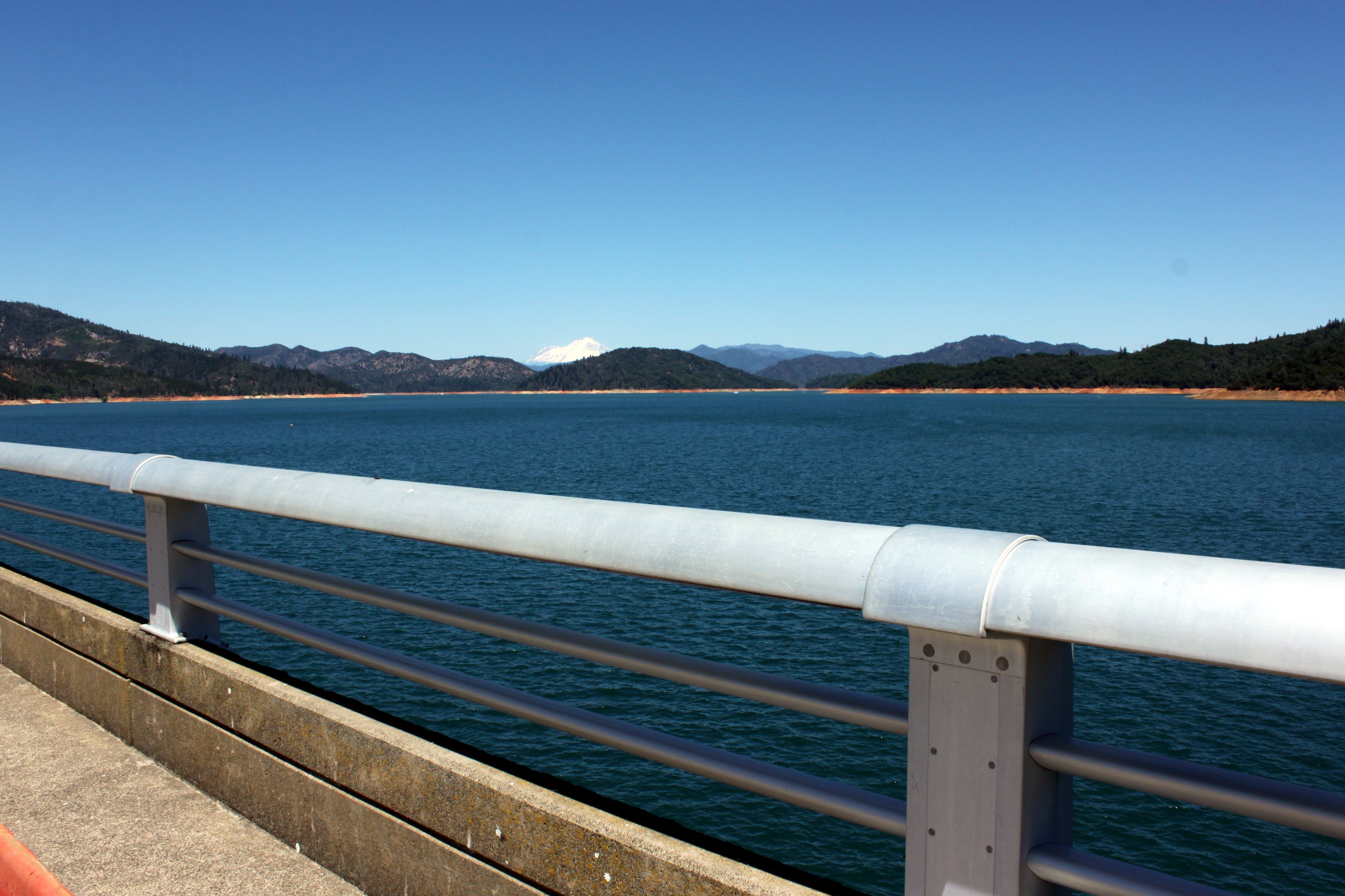
A beautiful view of Mt. Shasta from Shasta Dam.

Changed hotels. Here's the view from the room - sunset on the Sacramento River. #roadtrip #redding #california #hotel #view #Sacramento #river #instagold #instagood #instagram #igdaily #igaddicts #ipodtouch #ipod

Sundial Bridge Lightning, The Sundial Bridge, Redding, CA

Sacramento River - Redding, CA
Learning to Glow

Shasta Dam Overlook 1533

Sundial Bridge, Redding

Sunset over Sacramento River

Self Portrait - 3

Heart of Gold (Brand Creek)
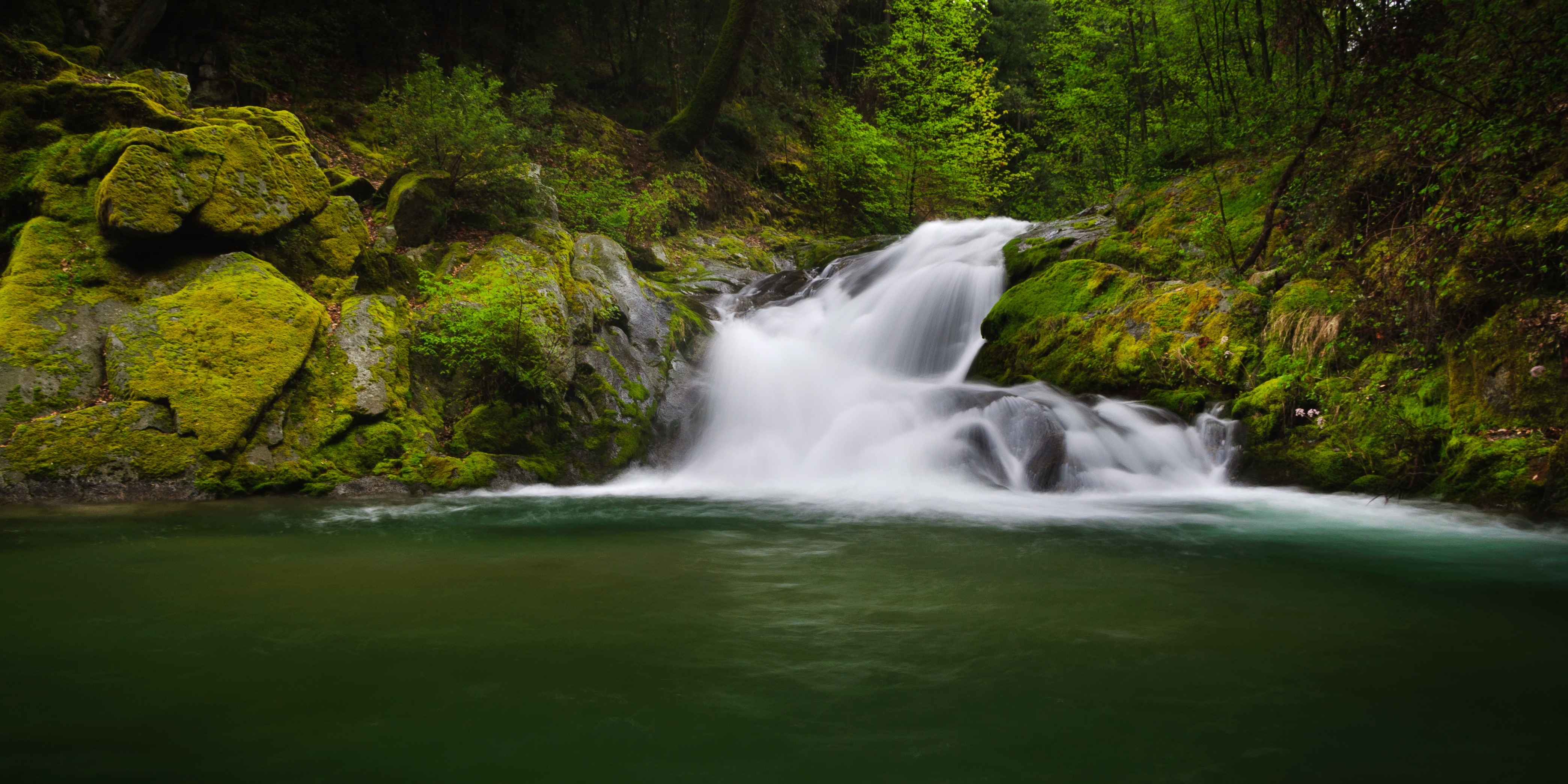
Brand Creek (Dropped)
Brand Creek (Hold On)

Brandy Creek 2

Golden Ticket (Brandy Creek Falls)

Salmon in Brandy Creek

Been a Long Time Coming

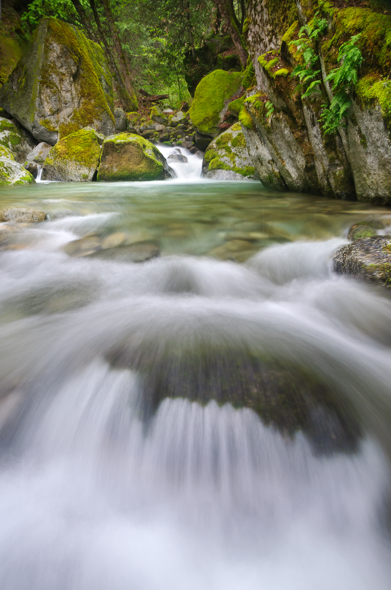
Slot Canyon on Brandy Creek

Delta Fire 2018

Reap The Benefits (p)

Shasta Dam last night 3 miles from home... second day July 24th, two days before CarrFire

Sundial Spring

"Very" Lower Brandy Creek Falls

171124 Black Friday gold-001J

Clear Creek

Whiskeytown Lake, California, USA

Lower Brand Creek Falls (Been a Long Time Coming)

Quiescense - Whiskeytown Lake

A man fly fishing in the Sacramento River. #sacramento #river #redding #california #roadtrip #sunny #blue #sky #fly #fishing #roadtrip #california #instagram #instagold #instagood #igaddicts #ipodtouch #igdaily #ipod
Topographic Map of Royal Oaks Dr, Redding, CA, USA
Find elevation by address:

Places near Royal Oaks Dr, Redding, CA, USA:
Sunset Terrace
250 Overhill Dr
Shasta Rail Trail
3225 Stratford Ave
Oakmont Subdivision
715 Mary St
3310 Oakwood Pl
Sunset
1192 Sunriver Ln
Deakins Subdivision
Westgate
Stanford Hills
Sunset West
3646 Cal Ore Dr
860 Lakeview Dr
715 Sunriver Ln
Lakeview
Magnolia
1805 9th St
Holiday Market
Recent Searches:
- Elevation of Badaber, Peshawar, Khyber Pakhtunkhwa, Pakistan
- Elevation of SE Heron Loop, Lincoln City, OR, USA
- Elevation of Slanický ostrov, 01 Námestovo, Slovakia
- Elevation of Spaceport America, Co Rd A, Truth or Consequences, NM, USA
- Elevation of Warwick, RI, USA
- Elevation of Fern Rd, Whitmore, CA, USA
- Elevation of 62 Abbey St, Marshfield, MA, USA
- Elevation of Fernwood, Bradenton, FL, USA
- Elevation of Felindre, Swansea SA5 7LU, UK
- Elevation of Leyte Industrial Development Estate, Isabel, Leyte, Philippines