Elevation of Royal Creek Road, Royal Creek Rd, Texas, USA
Location: United States > Texas > Montgomery County > Conroe >
Longitude: -95.404883
Latitude: 30.4226797
Elevation: 71m / 233feet
Barometric Pressure: 100KPa
Elevation Map:
Satellite Map:
Related Photos:

A Processed Image of Clouds While Looking out a Plane Window

Bozman Intermediate School, Conroe, TX

I Wanna Go Fast

Cut and Shoot

AGQ-20161015-0002
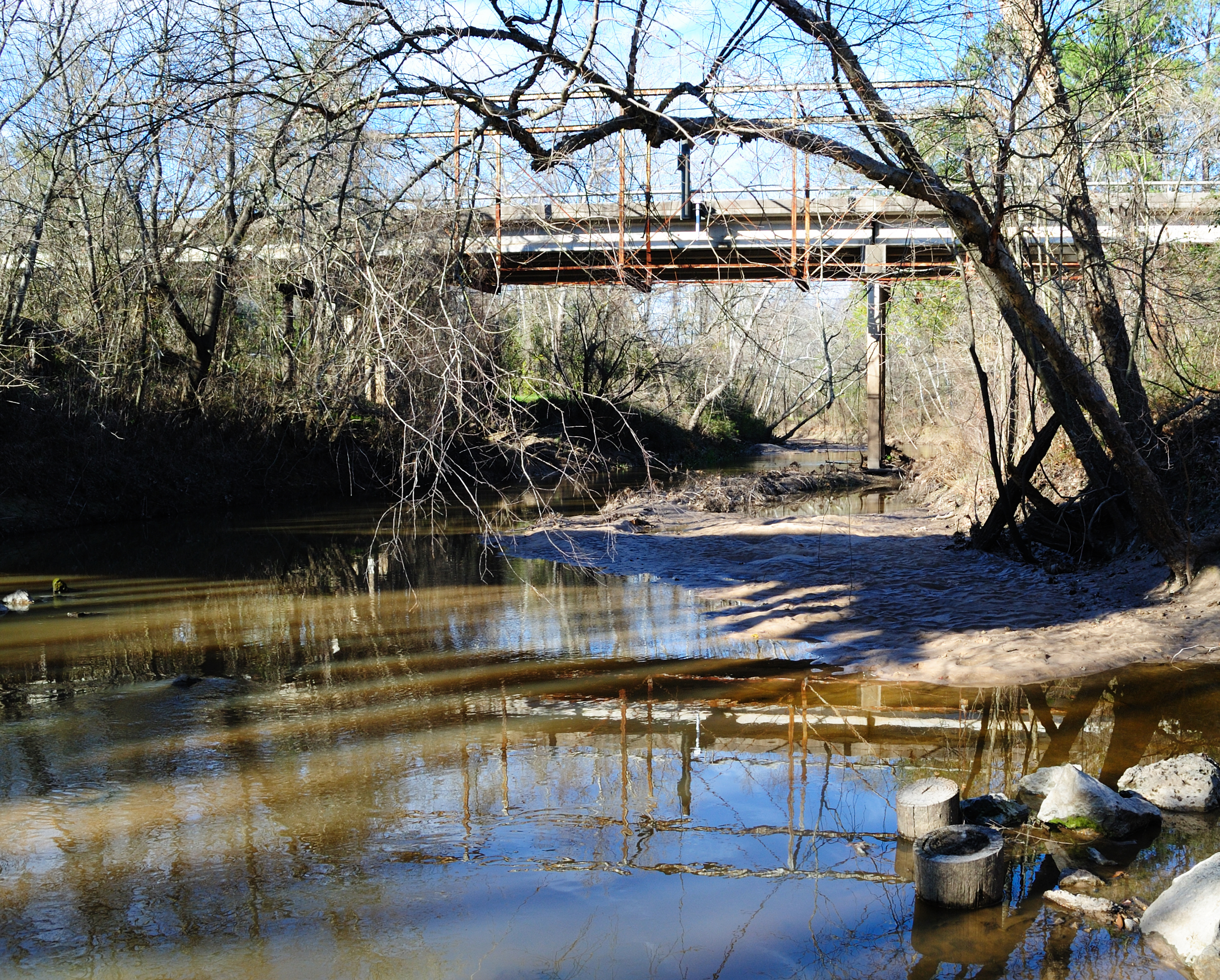
Abandoned Through Truss FM 2854 Bridge over San Jacinto River 0128121528

Straight Ahead Taos High Road

Cover your tracks

Lake Conroe

Lake Conroe

Lake Conroe
Lake Conroe

Lake Conroe

Texas Paintbrush

20100925-sam_houston14

I45 in spring

2008 03-31 09-38-25

2008 03-31 09-43-08

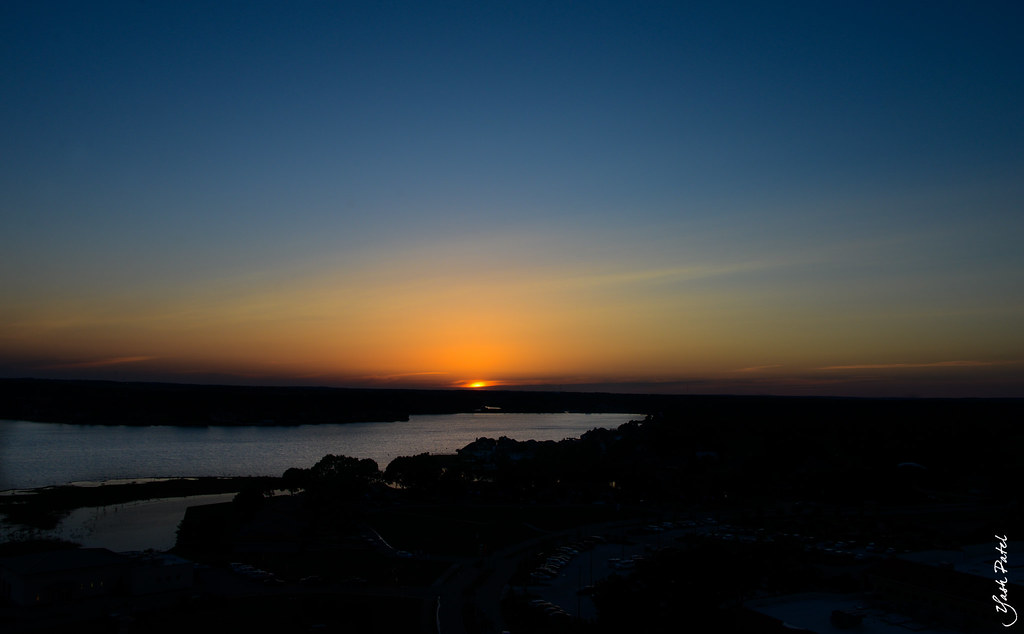
Beautiful way to end a great day. #sunset #fishing #lake #lakec

I used to live in that house (in 1982)

FM 2693 Ranch
Topographic Map of Royal Creek Road, Royal Creek Rd, Texas, USA
Find elevation by address:

Places near Royal Creek Road, Royal Creek Rd, Texas, USA:
1306 Royal Green Dr
9088 N Comanche Cir
9032 Zapata Way
13962 Rose Rd
14090 Fm 1097
14090 Fm 1097
Bee Creek Drive
14572 Hasara Ln
5493 Bee Creek Dr
14897 Cedar Ln Loop
14897 Cedar Ln Loop
15542 China Grove Ln
16196 Cedar Ln Loop
Willis Supermarket
200 N Bell St
Willis Community Center
Willis
1622 Topaz Trail
14635 Chevelle Lane
14619 Sterling Court
Recent Searches:
- Elevation of Congressional Dr, Stevensville, MD, USA
- Elevation of Bellview Rd, McLean, VA, USA
- Elevation of Stage Island Rd, Chatham, MA, USA
- Elevation of Shibuya Scramble Crossing, 21 Udagawacho, Shibuya City, Tokyo -, Japan
- Elevation of Jadagoniai, Kaunas District Municipality, Lithuania
- Elevation of Pagonija rock, Kranto 7-oji g. 8"N, Kaunas, Lithuania
- Elevation of Co Rd 87, Jamestown, CO, USA
- Elevation of Tenjo, Cundinamarca, Colombia
- Elevation of Côte-des-Neiges, Montreal, QC H4A 3J6, Canada
- Elevation of Bobcat Dr, Helena, MT, USA