Elevation of Roxburgh, New Zealand
Location: New Zealand > Otago >
Longitude: 169.312338
Latitude: -45.539050
Elevation: 94m / 308feet
Barometric Pressure: 100KPa
Elevation Map:
Satellite Map:
Related Photos:
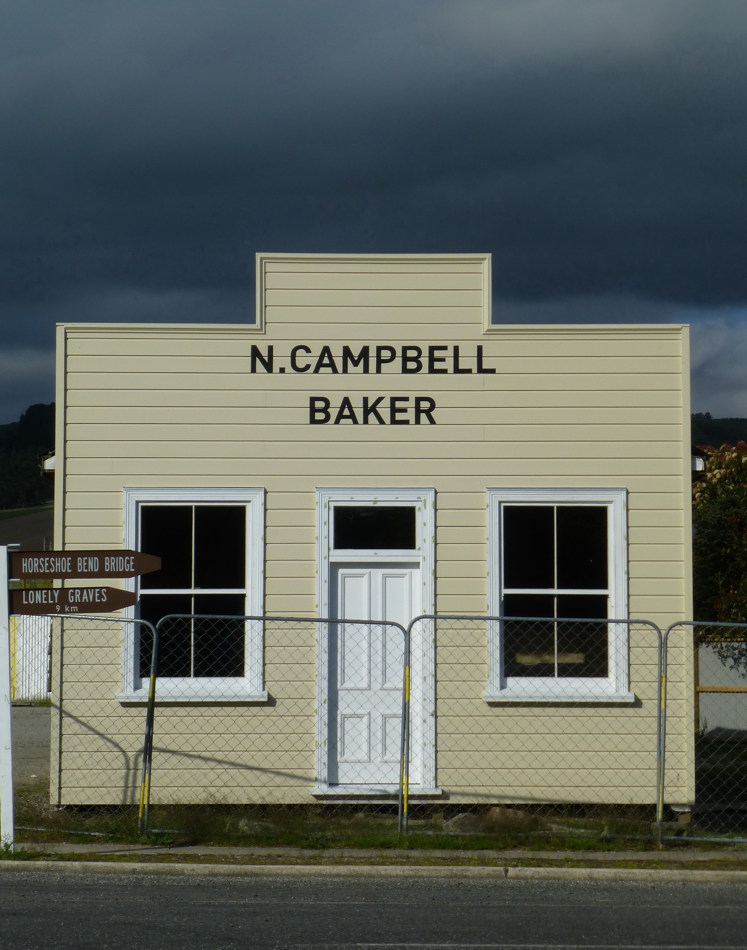
Front view, Millers Flat

Hopefully I can get home before the thunderplump.
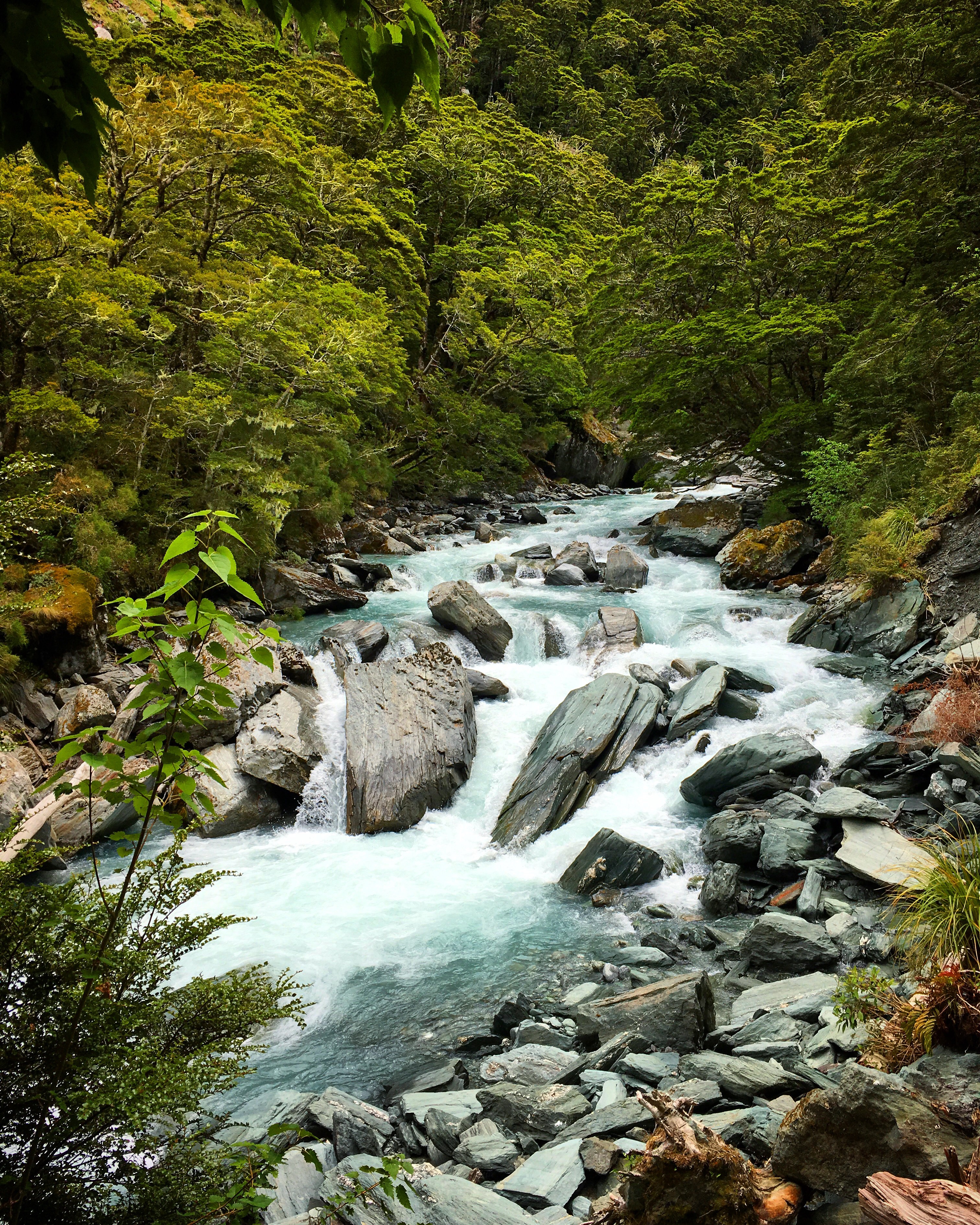
Natural forests in New Zealand
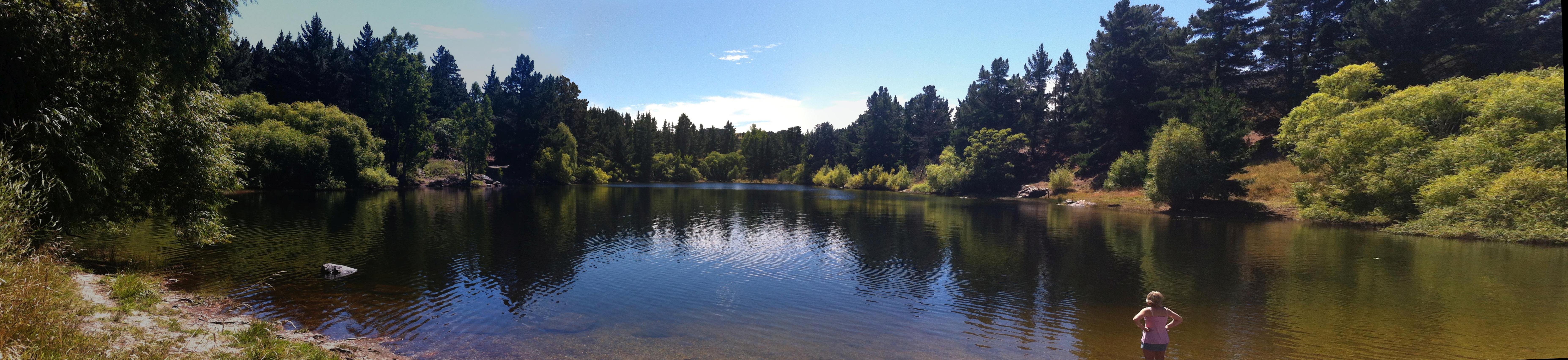
Pinders Pond
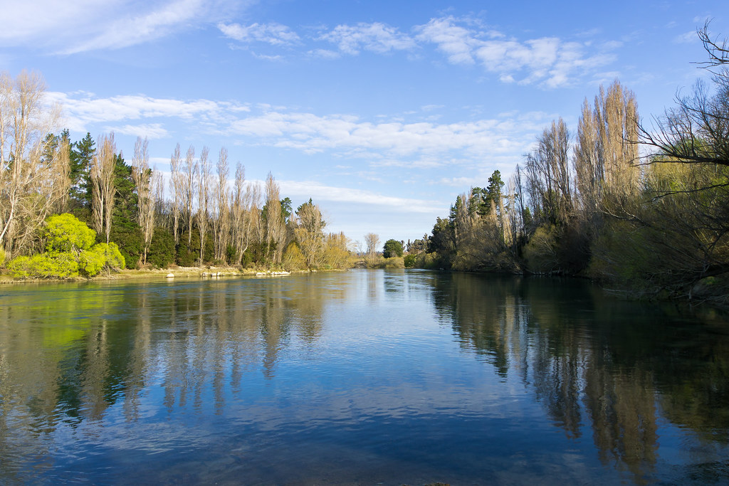
Clutha River near Roxburgh ll
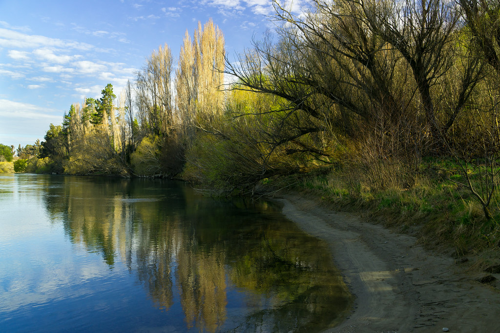
Clutha Riverbank ll

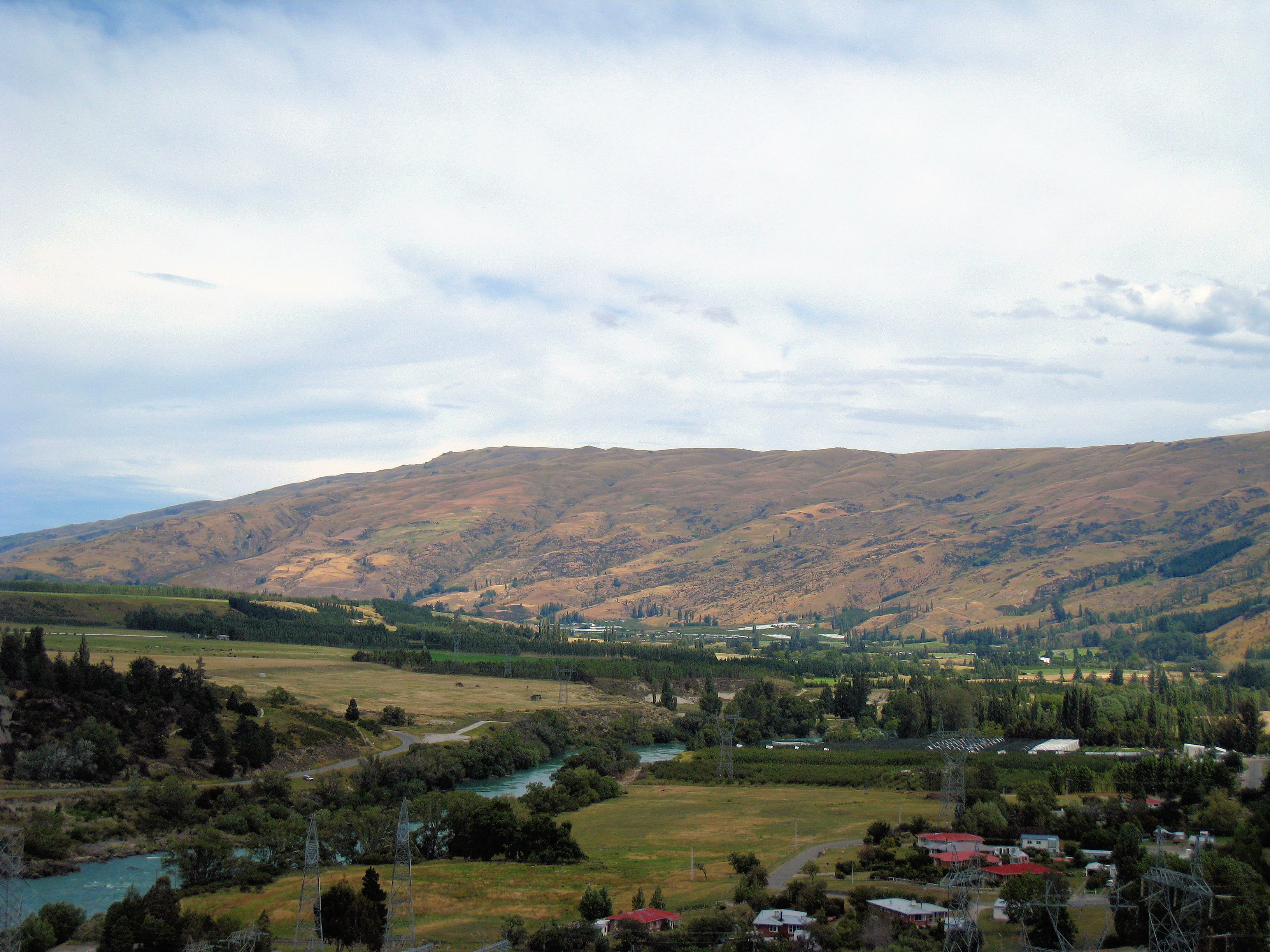
Teviot Valley above Millers Flat
Snail Habitat (Pomahaka Valley)
NZ Bike Tour Day 20-24 Queenstown to Roxburg.jpg
NZ Bike Tour Day 21-01 Roxburg to Milton.jpg
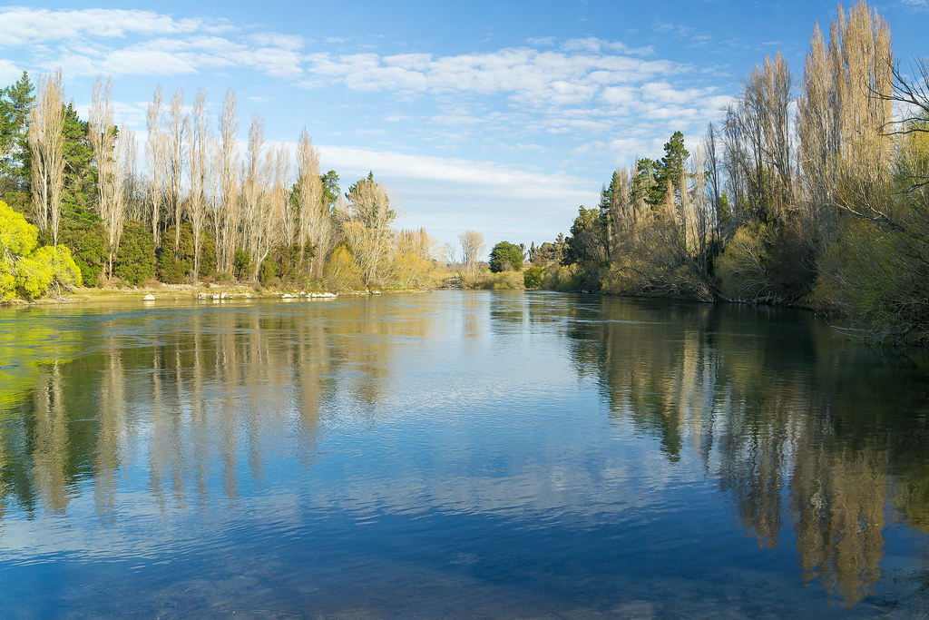
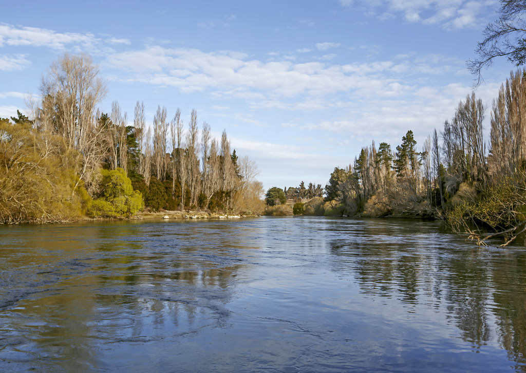
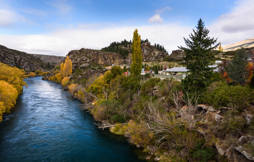
Clutha River near Roxburgh
Clutha River
Clutha River Bank
Lake Roxburgh Dam
NZ Bike Tour Day 20-23 Queenstown to Roxburg.jpg
NZ Bike Tour Day 21-00 Roxburg to Milton.jpg

Clutha River

The fog is a blessing: you can't see how far it it to the top of the hill.

Fast Flowing
Sun Starting to Shine
Jet Boating on the Clutha
Dark Deep Waters
Topographic Map of Roxburgh, New Zealand
Find elevation by address:

Places in Roxburgh, New Zealand:
Places near Roxburgh, New Zealand:
7 Jedburgh St
5 Scotland St
Roxburgh East
Ladysmith Road
3721 Fruitlands-roxburgh Rd
Fruitlands-roxburgh Road
Ettrick
Millers Flat Holiday Park
Millers Flat
1300 Fruitlands-roxburgh Rd
1 Symes Rd
Old Man Range
100 Symes Rd
Fruitlands
Butchers Dam
Flat Top Hill Conservation Area
291 Chapman Rd
1 Peterson Pl
59 Kamaka Cres
376a Earnscleugh Rd
Recent Searches:
- Elevation of Tenjo, Cundinamarca, Colombia
- Elevation of Côte-des-Neiges, Montreal, QC H4A 3J6, Canada
- Elevation of Bobcat Dr, Helena, MT, USA
- Elevation of Zu den Ihlowbergen, Althüttendorf, Germany
- Elevation of Badaber, Peshawar, Khyber Pakhtunkhwa, Pakistan
- Elevation of SE Heron Loop, Lincoln City, OR, USA
- Elevation of Slanický ostrov, 01 Námestovo, Slovakia
- Elevation of Spaceport America, Co Rd A, Truth or Consequences, NM, USA
- Elevation of Warwick, RI, USA
- Elevation of Fern Rd, Whitmore, CA, USA