Elevation of Row River Rd, Dorena, OR, USA
Location: United States > Oregon > Lane County > Dorena >
Longitude: -122.88248
Latitude: 43.738787
Elevation: 261m / 856feet
Barometric Pressure: 98KPa
Elevation Map:
Satellite Map:
Related Photos:
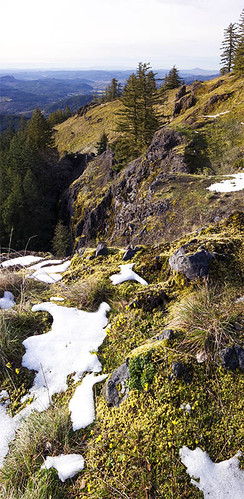
Blue Mountain cliffs
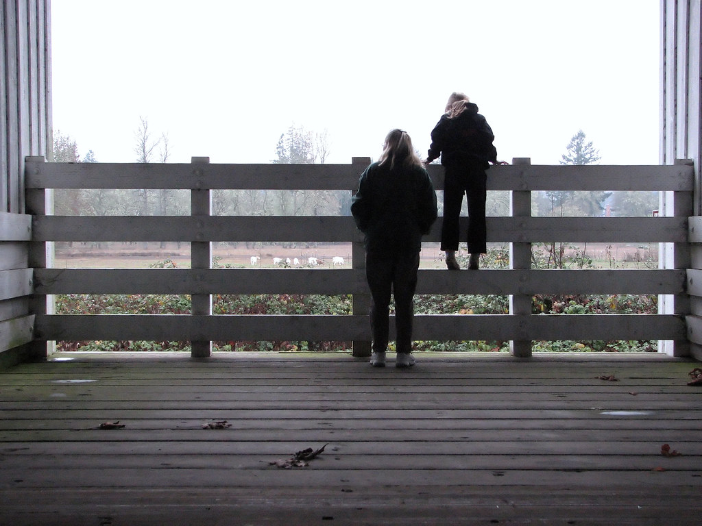
taking in the view on a misty day

CA Trip Day 12: That Train Don't Stop Here Anymore
View on the hike down :-) #oregonexplored #pnw #pnwonderland

Admiring the view ;-) #pnwonderdogs #pnw #dogsofinstagram

Enjoying the view with my pups :-) #dogsofinstagram #pnwonderdogs #pnw
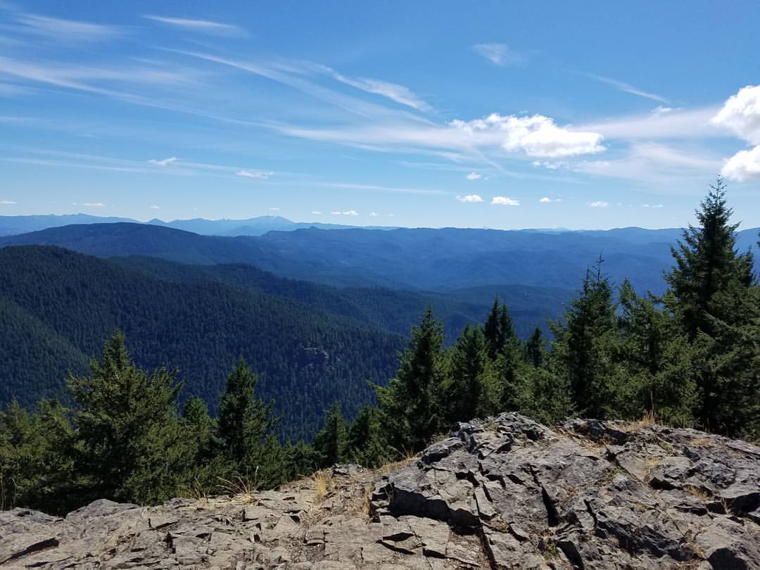
View from the summit of Mt June #oregonexplored #pnw #pnwonderland

View from the summit of Mt. June #oregonexplored #pnw #pnwonderland

Autumn's gentle Passing. Spirit Falls, Or. 11-02-11
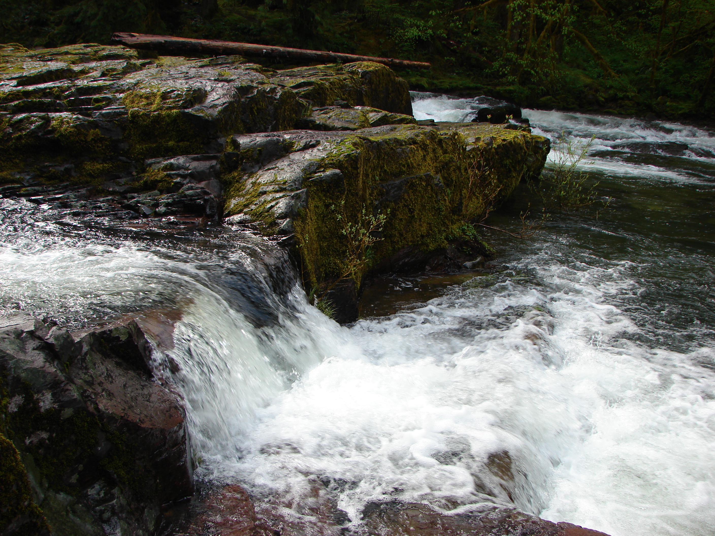
Lower Trestle Creek Falls
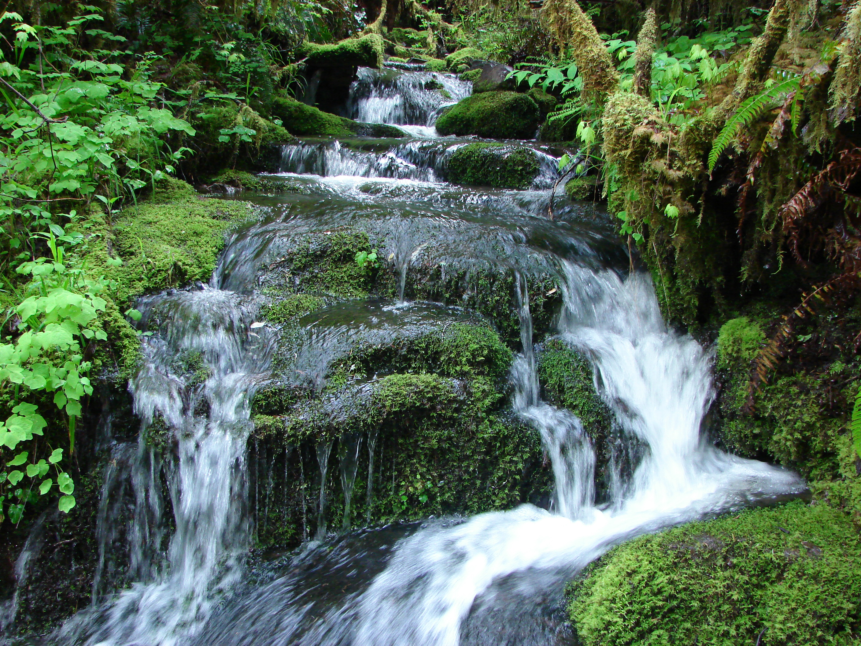
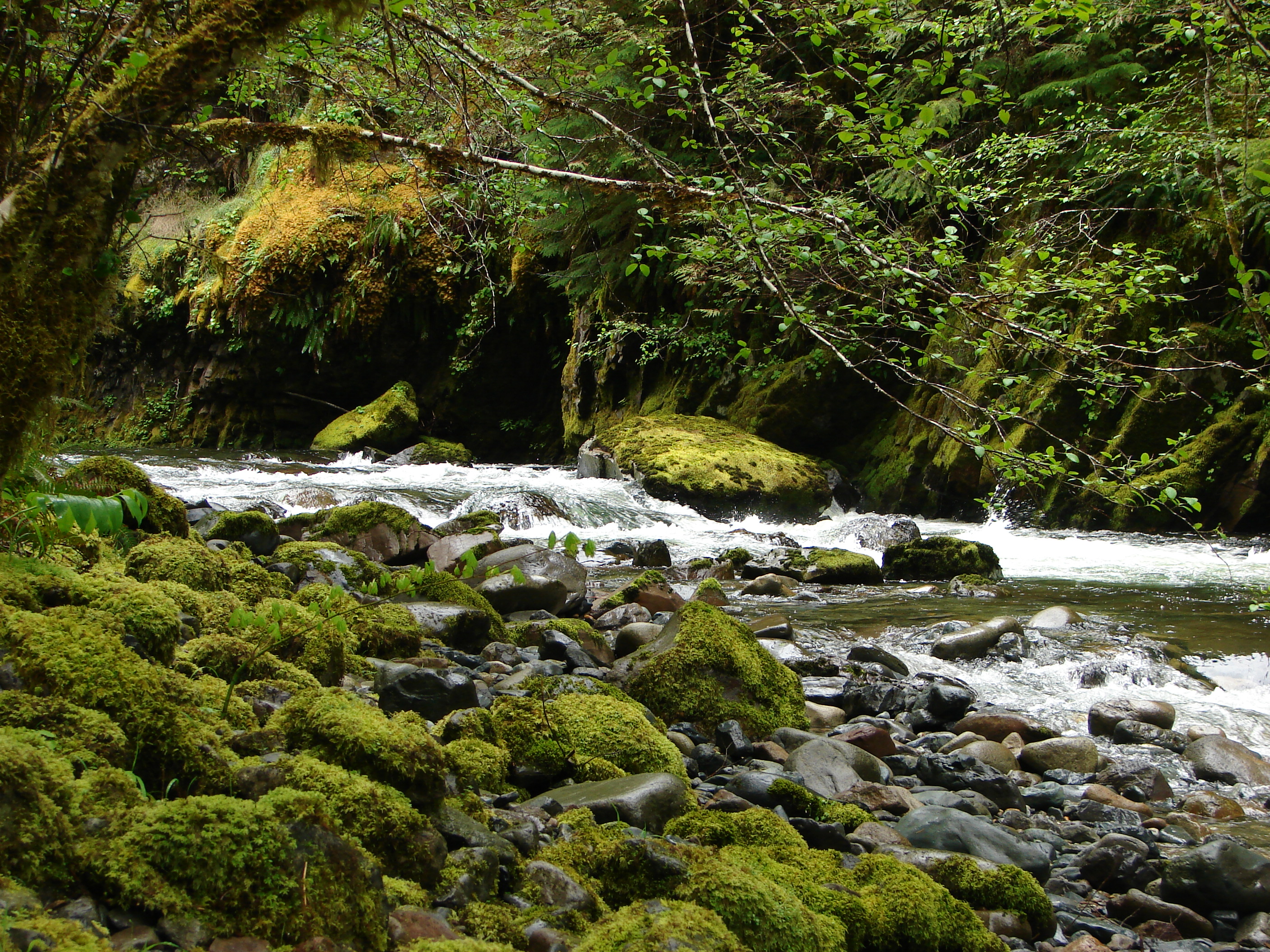
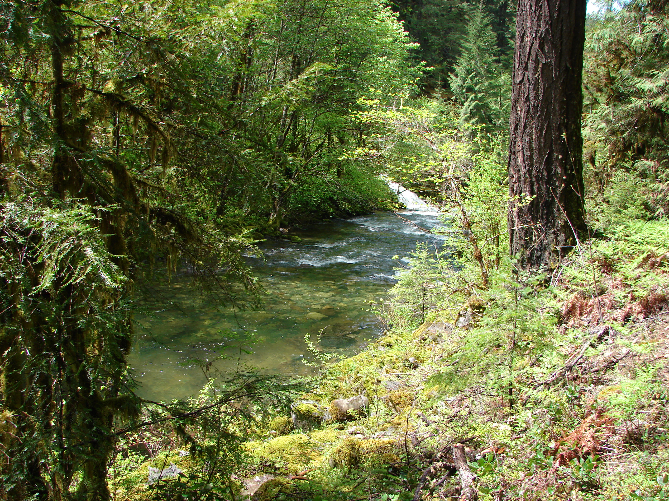
Unnamed creek along the Brice Creek Trail
Trestle Creek
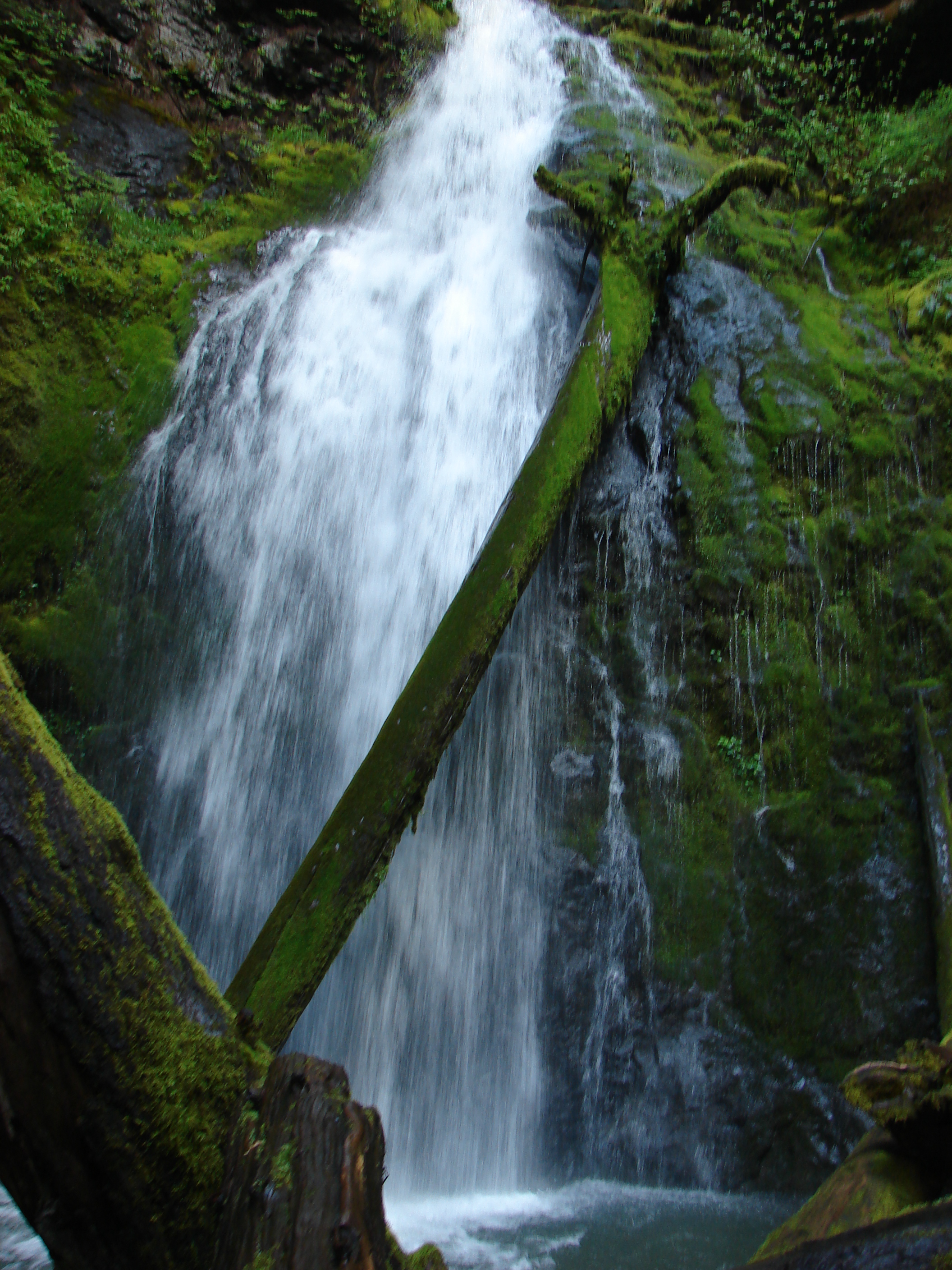
Lower Trestle Creek Falls

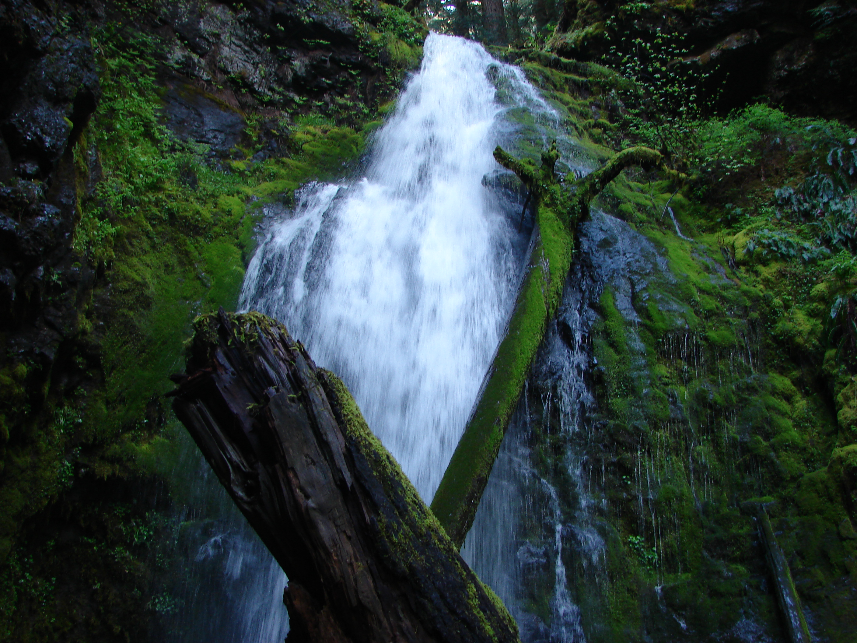
Upper Trestle Creek Falls
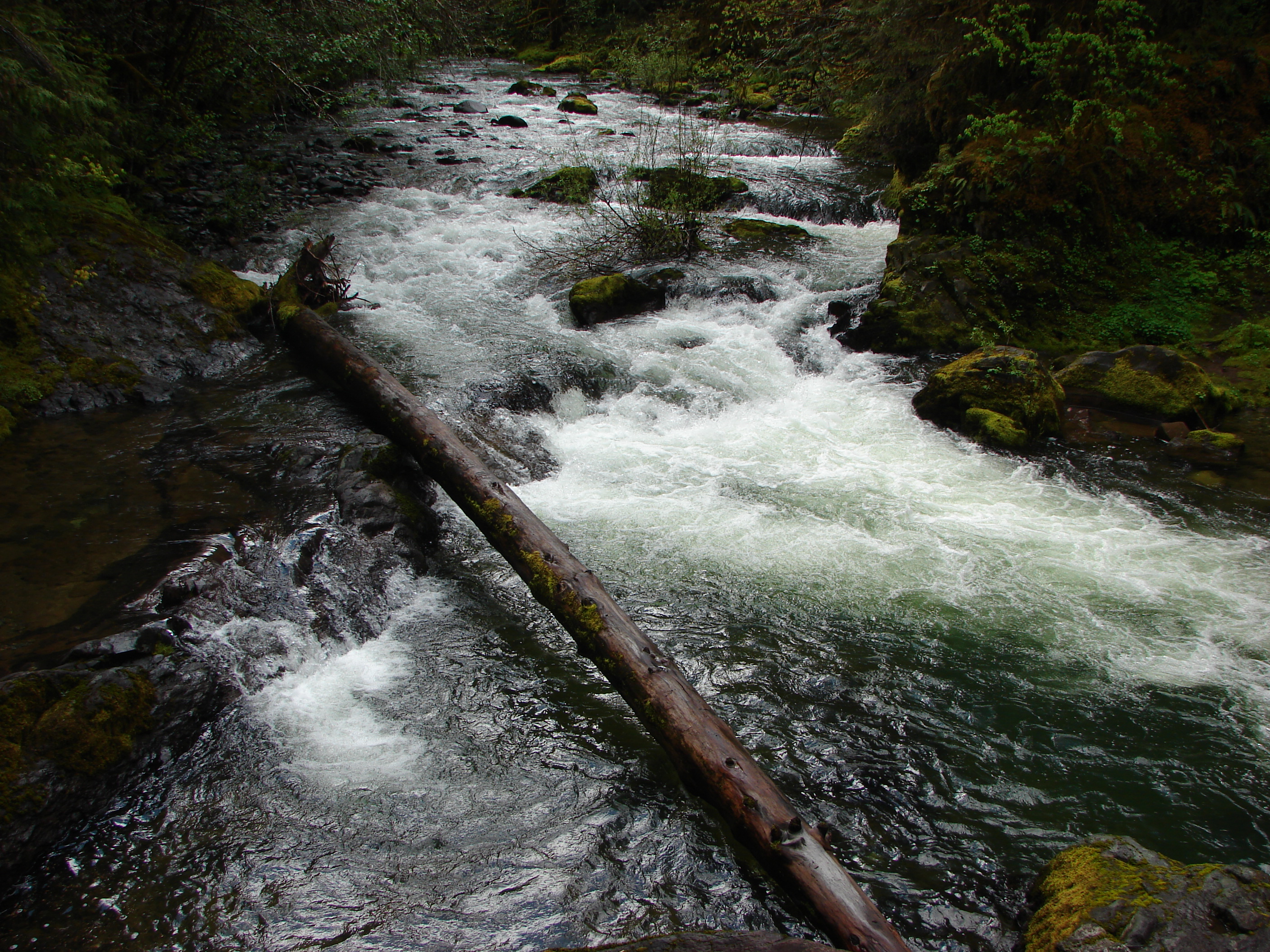
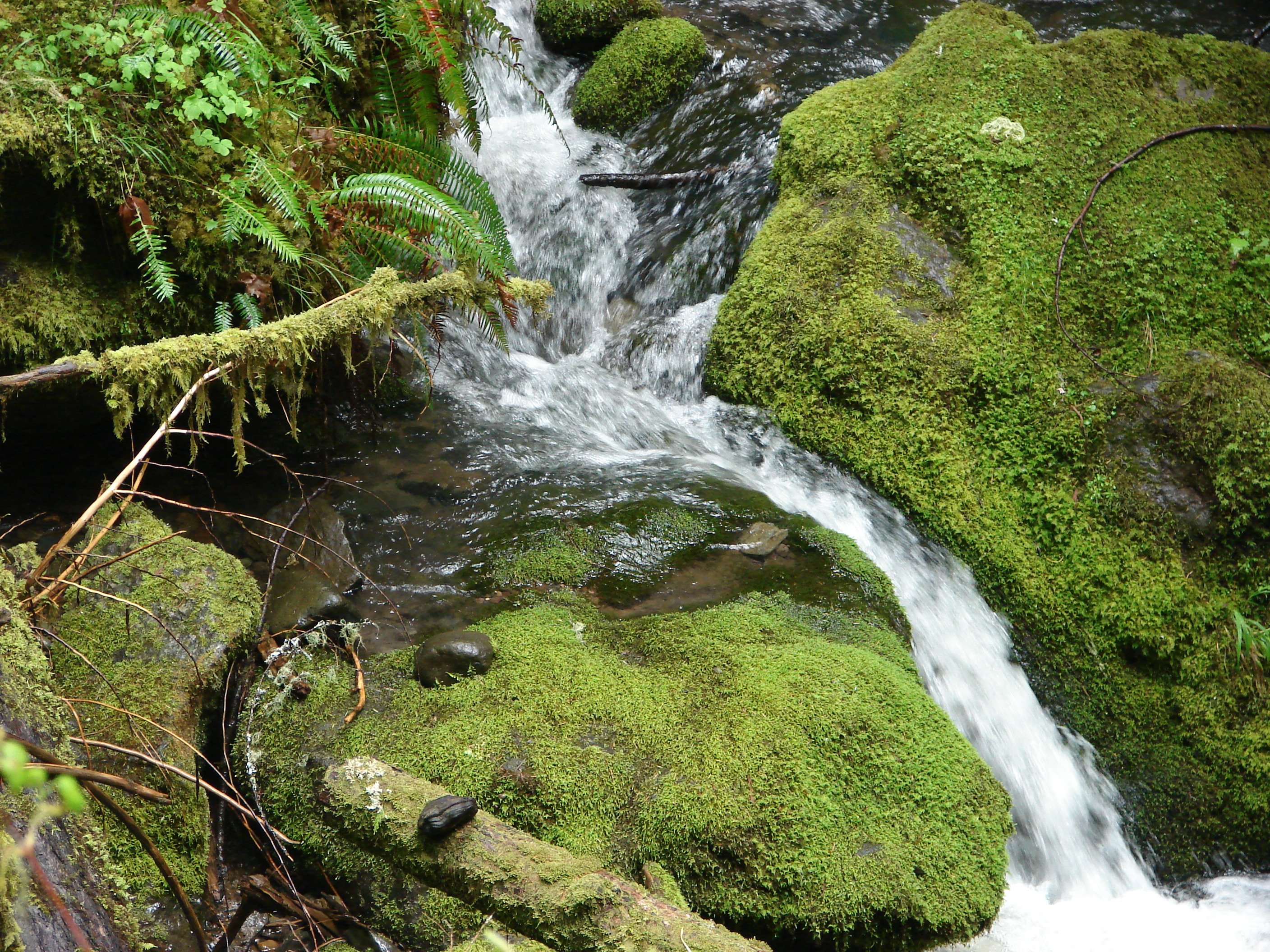
Brice Creek

Upper Trestle Creek Falls
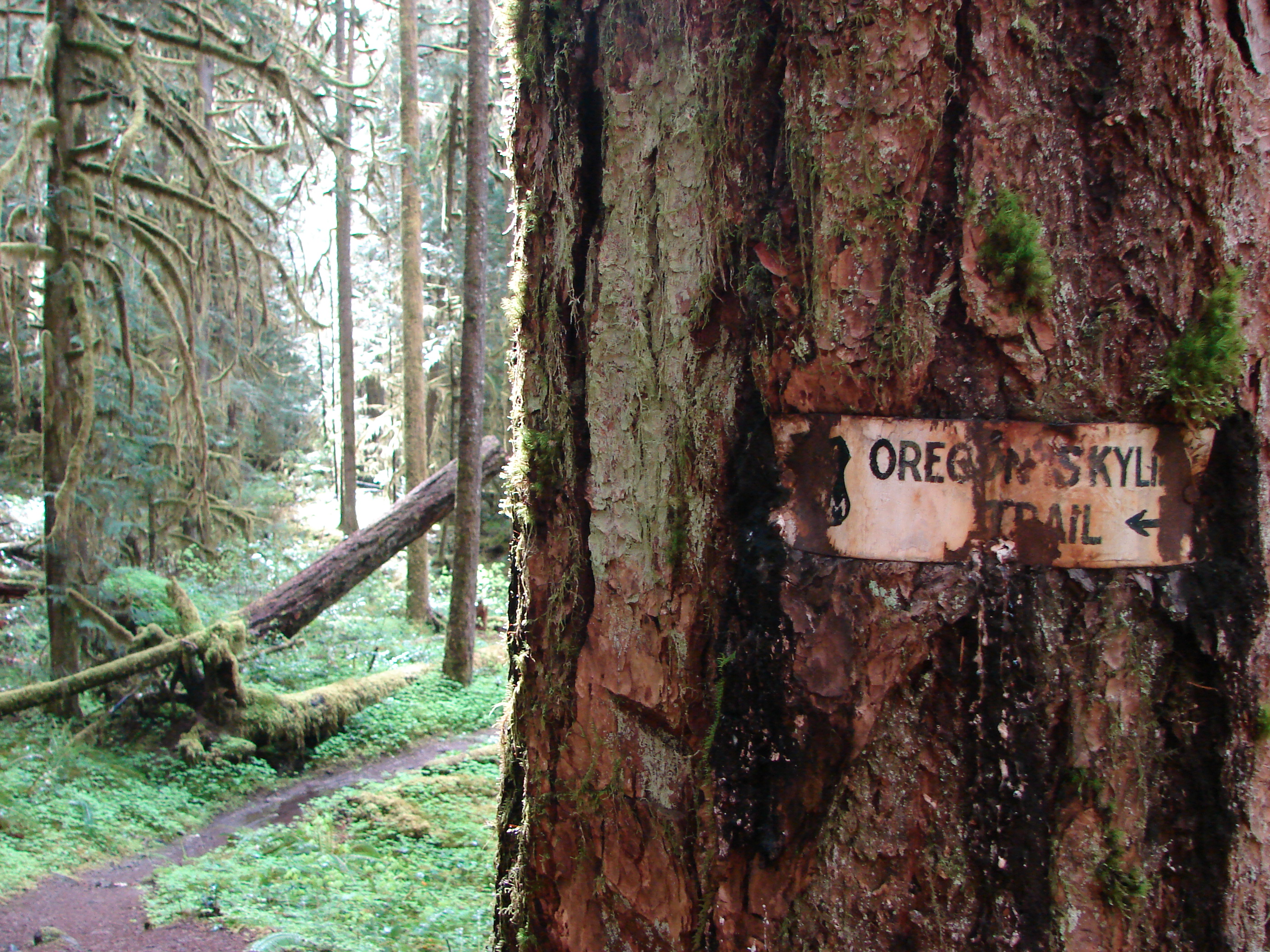
Old trail sign along the Brice Creek Trail

Brice Creek
Brice Creek
Brice Creek

Lower Trestle Creek Falls
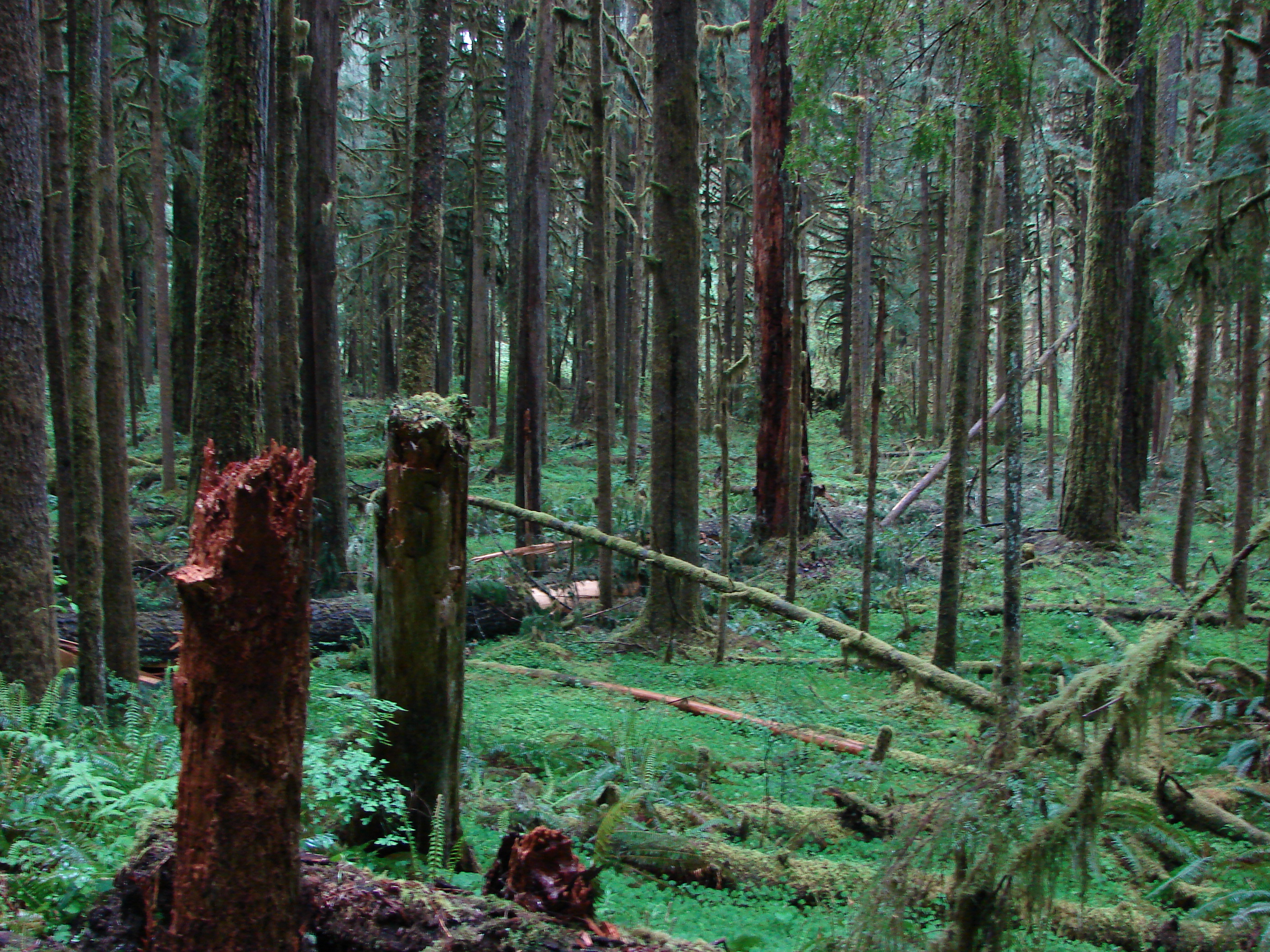
Forest along the Brice Creek Trail

Forest along the Brice Creek Trail

Upper Trestle Creek Falls

Unnamed creek along the Brice Creek Trail

Upper Trestle Creek Falls

Brice Creek
Brice Creek
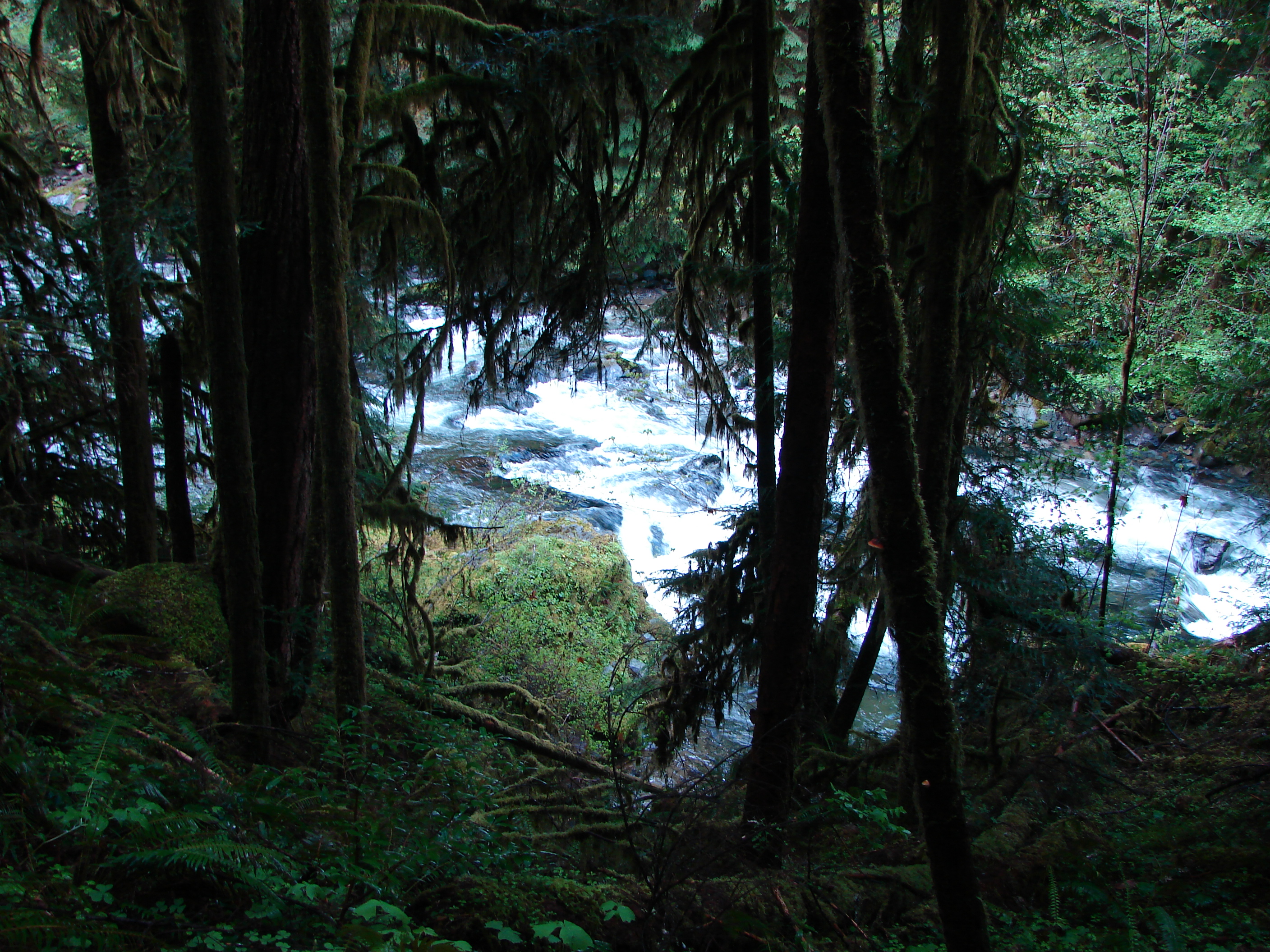
Brice Creek
Topographic Map of Row River Rd, Dorena, OR, USA
Find elevation by address:

Places near Row River Rd, Dorena, OR, USA:
Dorena
38081 Row River Rd
Wildwood
34747 Sunflower Ct
Mosby Creek Rd, Cottage Grove, OR, USA
40259 Brice Creek Rd
39286 Old Giustina Mill Rd
78262 Cedar Park Rd
81997 Lost Creek Rd
82241 Bear Mountain Rd
1101 E Polk Ave
80502 Delight Valley School Rd
Cottage Grove
Dexter
Saginaw
201 Grant Ave
412 Adams Ave
337 S 2nd St
33838 E River Dr
Walker
Recent Searches:
- Elevation of East W.T. Harris Boulevard, E W.T. Harris Blvd, Charlotte, NC, USA
- Elevation of West Sugar Creek, Charlotte, NC, USA
- Elevation of Wayland, NY, USA
- Elevation of Steadfast Ct, Daphne, AL, USA
- Elevation of Lagasgasan, X+CQH, Tiaong, Quezon, Philippines
- Elevation of Rojo Ct, Atascadero, CA, USA
- Elevation of Flagstaff Drive, Flagstaff Dr, North Carolina, USA
- Elevation of Avery Ln, Lakeland, FL, USA
- Elevation of Woolwine, VA, USA
- Elevation of Lumagwas Diversified Farmers Multi-Purpose Cooperative, Lumagwas, Adtuyon, RV32+MH7, Pangantucan, Bukidnon, Philippines