Elevation of Route Bellevue E, Les Méchins, QC G0J 1T0, Canada

Location: Canada > Québec > La Matanie Regional County Municipality > Les Méchins > Les Méchins >

Longitude: -66.929655

Latitude: 49.020535

Elevation: 0m / 0feet

Barometric Pressure: 101KPa

Elevation Map:

elevation map of Route Bellevue E, Les Méchins, QC G0J 1T0, Canada

Satellite Map:

Satellite map of Route Bellevue E, Les Méchins, QC G0J 1T0, Canada

Related Photos:

voyage ca canada automne vacances eau pierre couleurs september reflet paysage extérieur septembre flore fleuve rivage aube gaspésie borddemer dégagé boisflotté naturalobject capucins photonumérique québecle milieuaquatique gaspésieilesdelamadeleine11 objetnaturel gaspésie2011septembre
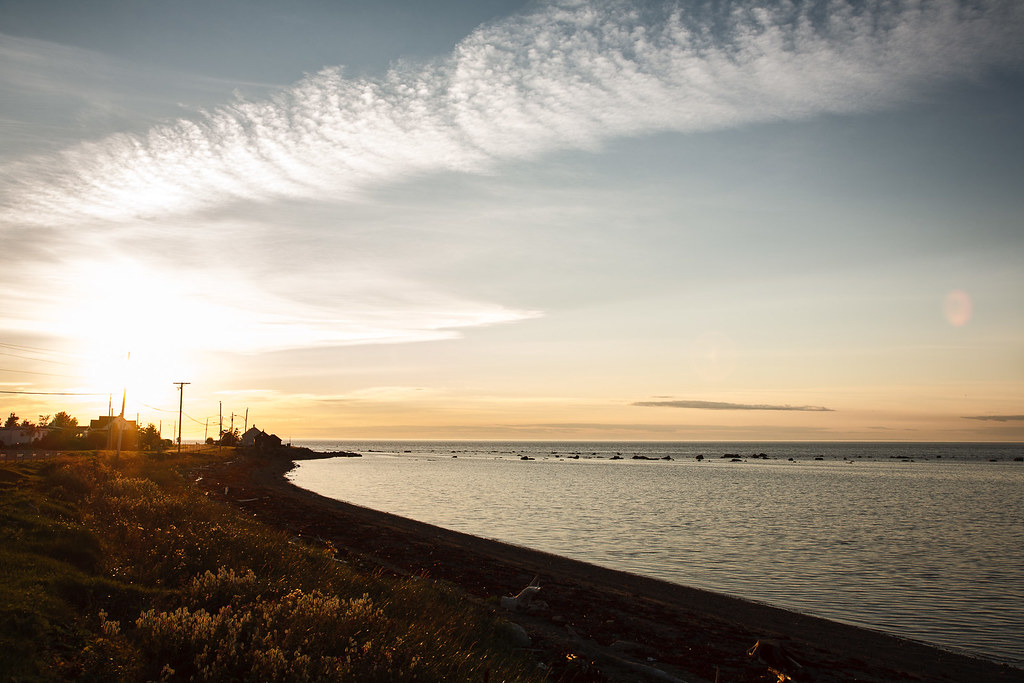
MS_20110927_006_FLI.jpg
voyage ca canada nature automne vacances couleurs september paysage extérieur septembre forêt flore feuillu peuplier aube gaspésie quakingaspen tremble ensoleillé borddemer populustremuloides peuplierfauxtremble capucins photonumérique québecle milieuaquatique arbresetarbustes milieuterrestre gaspésieilesdelamadeleine11 sallicacées gaspésie2011septembre
MS_20110927_015_FLI.jpg
voyage ca canada nature automne vacances eau couleurs september ciel nuage paysage crépuscule extérieur septembre rocher flore fleuve gaspésie nuageux borddemer naturalobject capucins photonumérique québecle milieuaquatique gaspésieilesdelamadeleine11 objetnaturel gaspésie2011septembre
MS_20110926_044_FLI.jpg
voyage ca sunset canada nature automne vacances soleil eau couleurs september ciel nuage paysage extérieur septembre flore fleuve rivage gaspésie nuageux ensoleillé borddemer soleilcouchant naturalobject capucins photonumérique québecle milieuaquatique gaspésieilesdelamadeleine11 objetnaturel gaspésie2011septembre
MS_20110926_012_FLI.jpg
lighthouse canada landscape quebec québec phare gaspésie beaconlight
Intérieur du phare de Cap-Chat
0054-IMG_3_0192p
canada nature weather countryside quebec bluesky clear capchat flickrfavourite geo:country=canada geo:state=quebec camera:make=canon exif:make=canon camera:model=canoneosdigitalrebelxt exif:model=canoneosdigitalrebelxt exif:focallength=22mm exif:aperture=ƒ56 flickrpublish geo:lon=66735166666667 geo:lat=49076375 gaspésieaugust2005 geo:city=capchat exif:isospeed=100 geo:location=lenordais
Field of Dreams
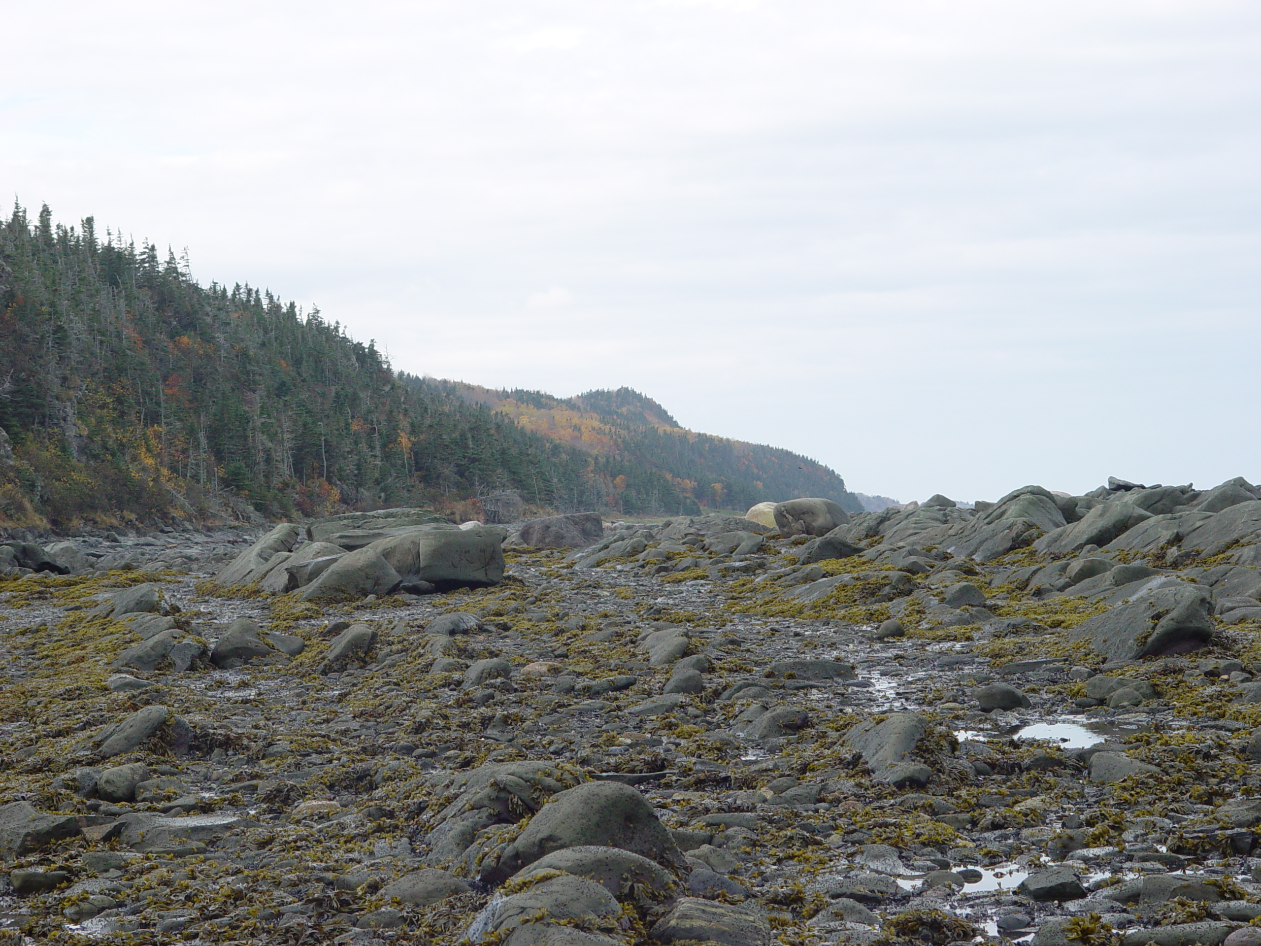
Les Méchins , Qc , Canada formation du Frasil
canada quebec capchat geo:state=quebec camera:make=canon exif:make=canon exif:iso_speed=100 exif:focal_length=18mm camera:model=canoneosdigitalrebelxt geo:countrys=canada exif:model=canoneosdigitalrebelxt exif:aperture=ƒ56 flickrpublish geo:lon=66735166666667 geo:lat=49076375 gaspésieaugust2005 geo:city=capchat
Gaspésie_20050808_036_edited-1
canada quebec lesméchins geo:state=quebec camera:make=canon exif:make=canon exif:focal_length=38mm exif:iso_speed=100 camera:model=canoneosdigitalrebelxt exif:lens=180550mm geo:countrys=canada exif:model=canoneosdigitalrebelxt exif:aperture=ƒ63 flickrpublish gaspésieaugust2005 geo:lon=67056388888889 geo:city=lesméchins geo:lat=48975555555556
Gaspésie_20050811_293
canada nature quebec oceans bays seas saltwater geolocation gulfs lesméchins geo:country=canada geo:state=quebec camera:make=canon exif:make=canon camera:model=canoneosdigitalrebelxt exif:lens=180550mm exif:model=canoneosdigitalrebelxt exif:focallength=28mm exif:aperture=ƒ71 flickrpublish gaspésieaugust2005 geo:lon=67056388888889 geo:city=lesméchins geo:lat=48975555555556 exif:isospeed=100
Gaspésie_20050811_314
canada quebec lesméchins geo:state=quebec camera:make=canon exif:make=canon exif:iso_speed=100 exif:focal_length=53mm camera:model=canoneosdigitalrebelxt geo:countrys=canada exif:model=canoneosdigitalrebelxt exif:aperture=ƒ56 flickrpublish gaspésieaugust2005 geo:lon=67056388888889 geo:city=lesméchins geo:lat=48975555555556
Gaspésie_20050811_334_edited-2
beach geotagged quebec geolat49049345 geolon66854897
DSC03935.JPG