Elevation of Roundup Way, Apple Valley, CA, USA
Location: United States > California > San Bernardino County > Apple Valley >
Longitude: -117.08947
Latitude: 34.421702
Elevation: 1081m / 3547feet
Barometric Pressure: 89KPa
Elevation Map:
Satellite Map:
Related Photos:

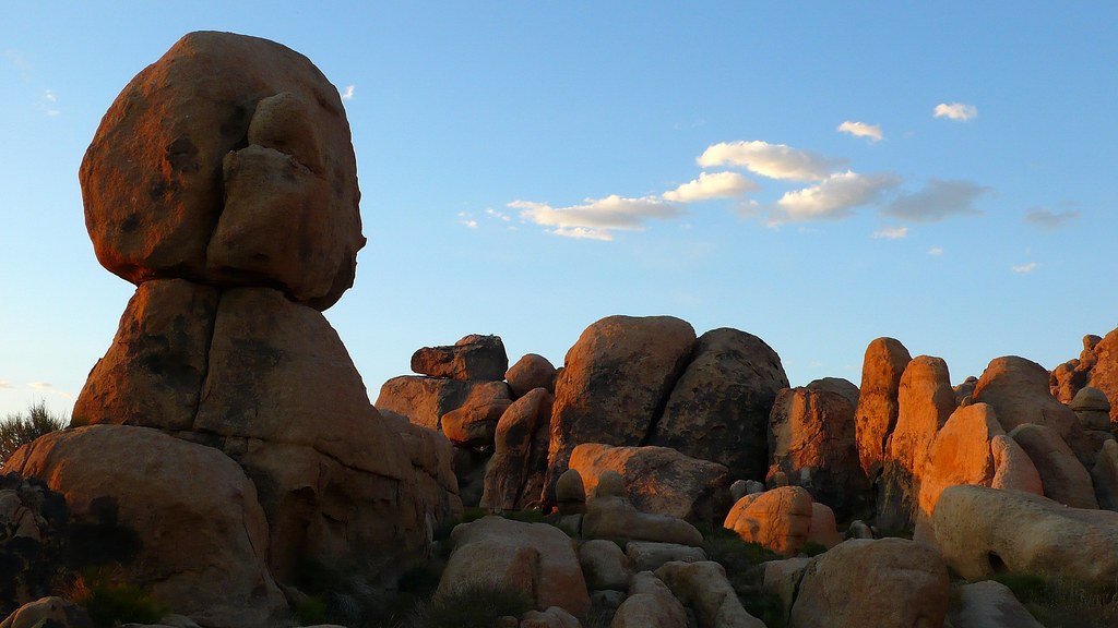
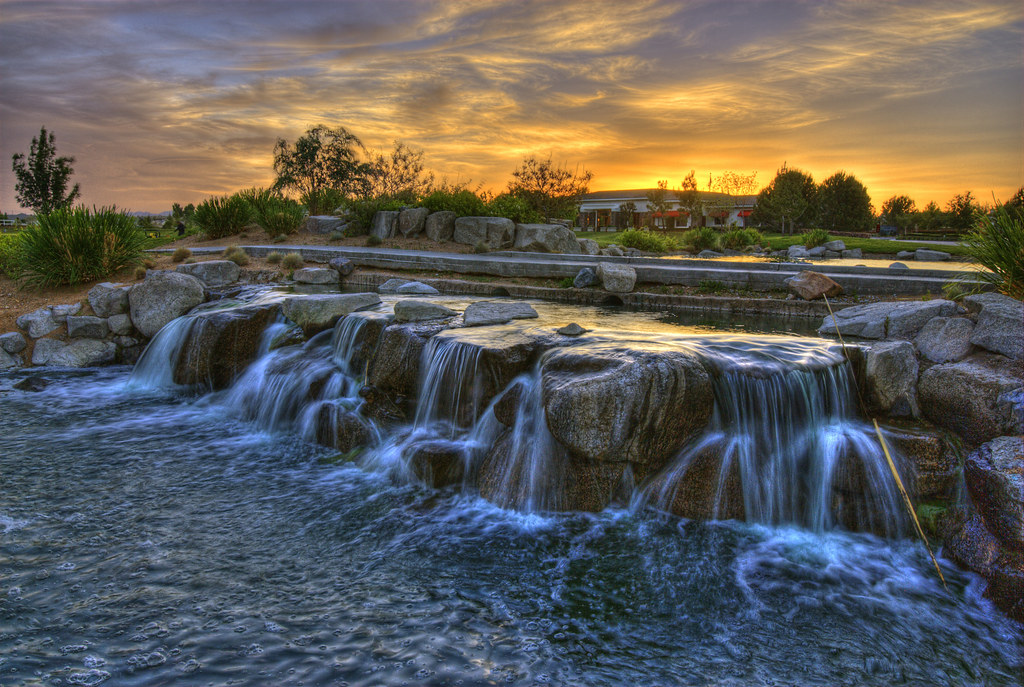
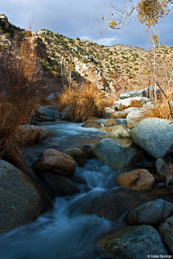
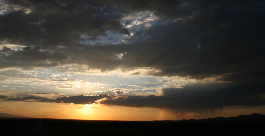
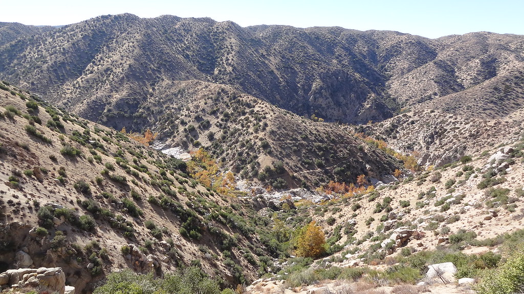
After the Storm, Ord Mountains [Explored]
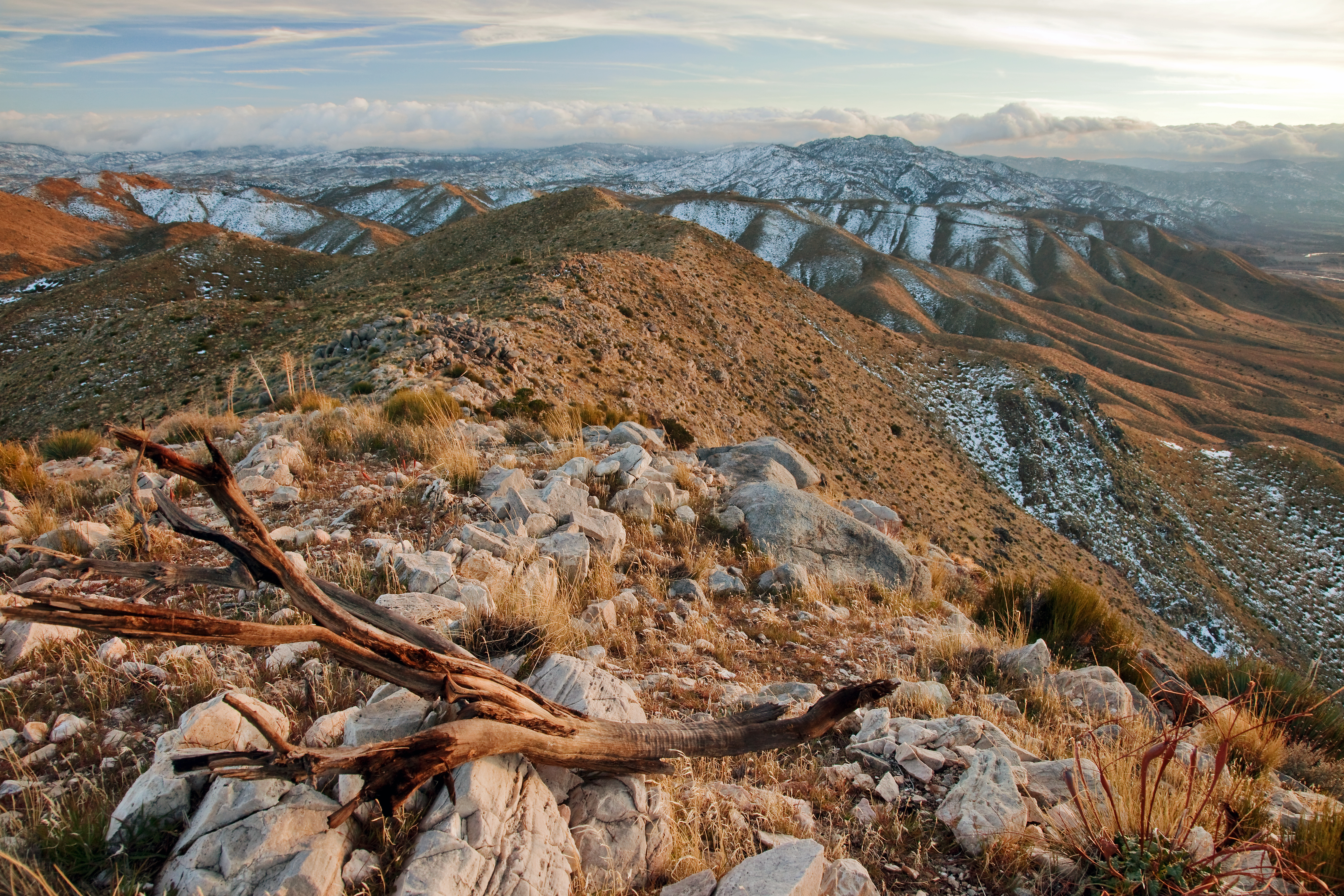
View South from Point 4948
Wright Mine View
Feldspar View
Christmas 2007
Apple Valley
Last Stop, California...
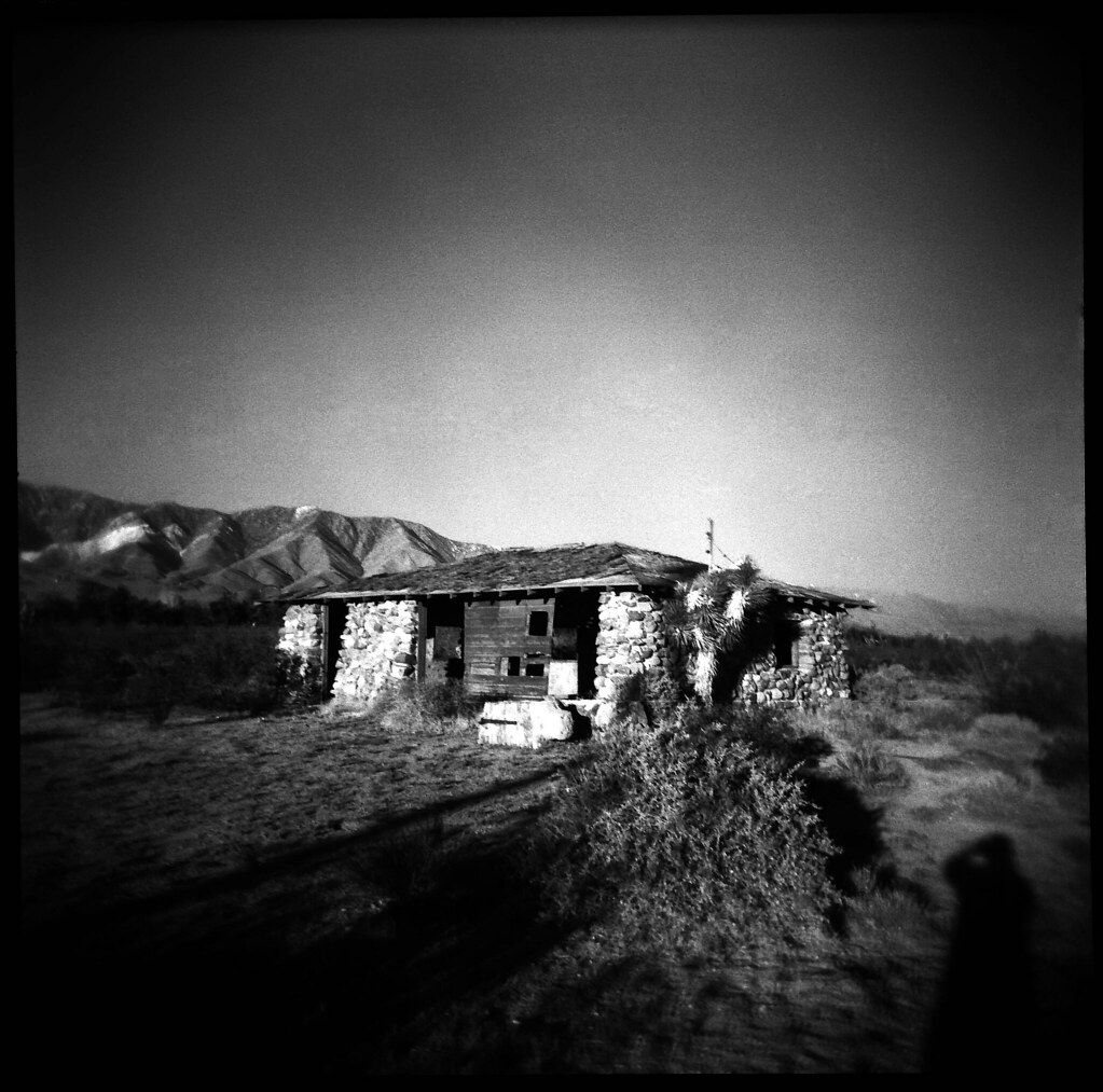
Holga - Mojave Desert Homestead
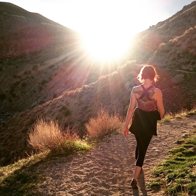
Who is going to save me?
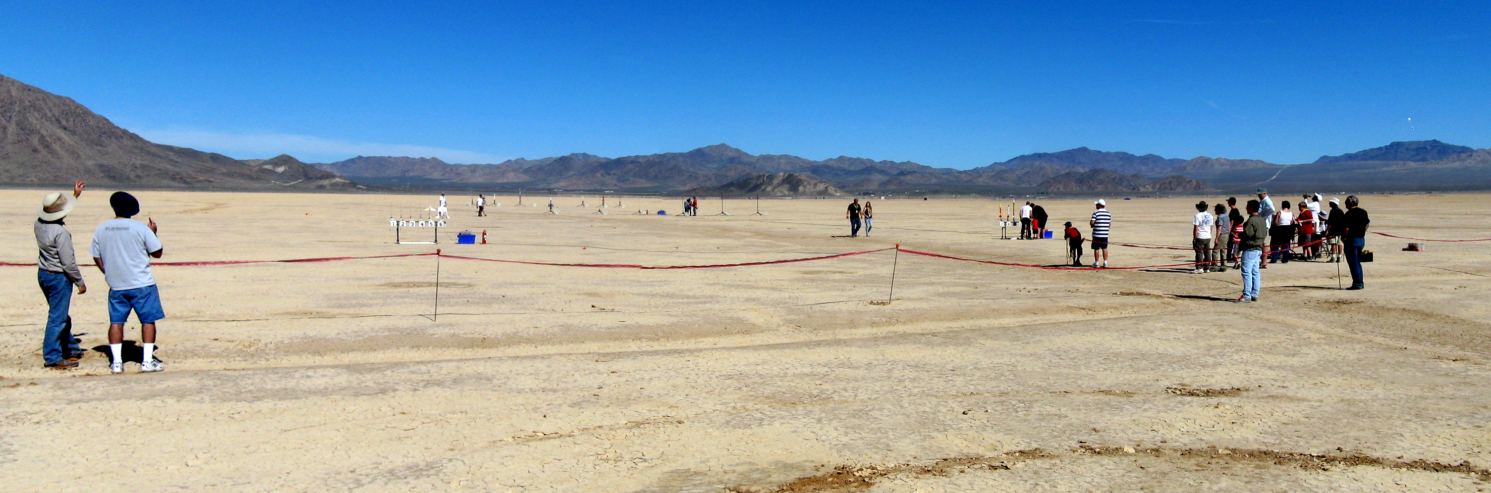
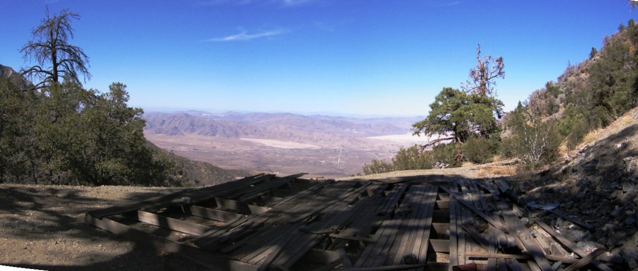
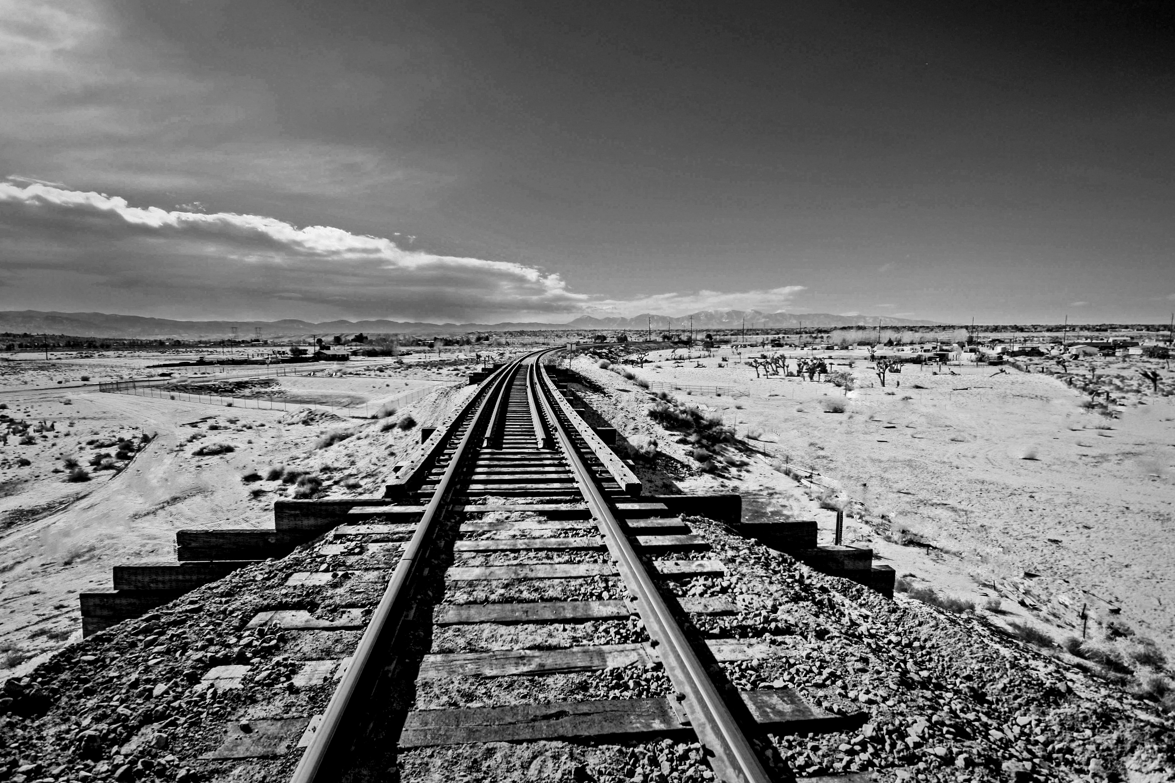
Panorama view of the flightline
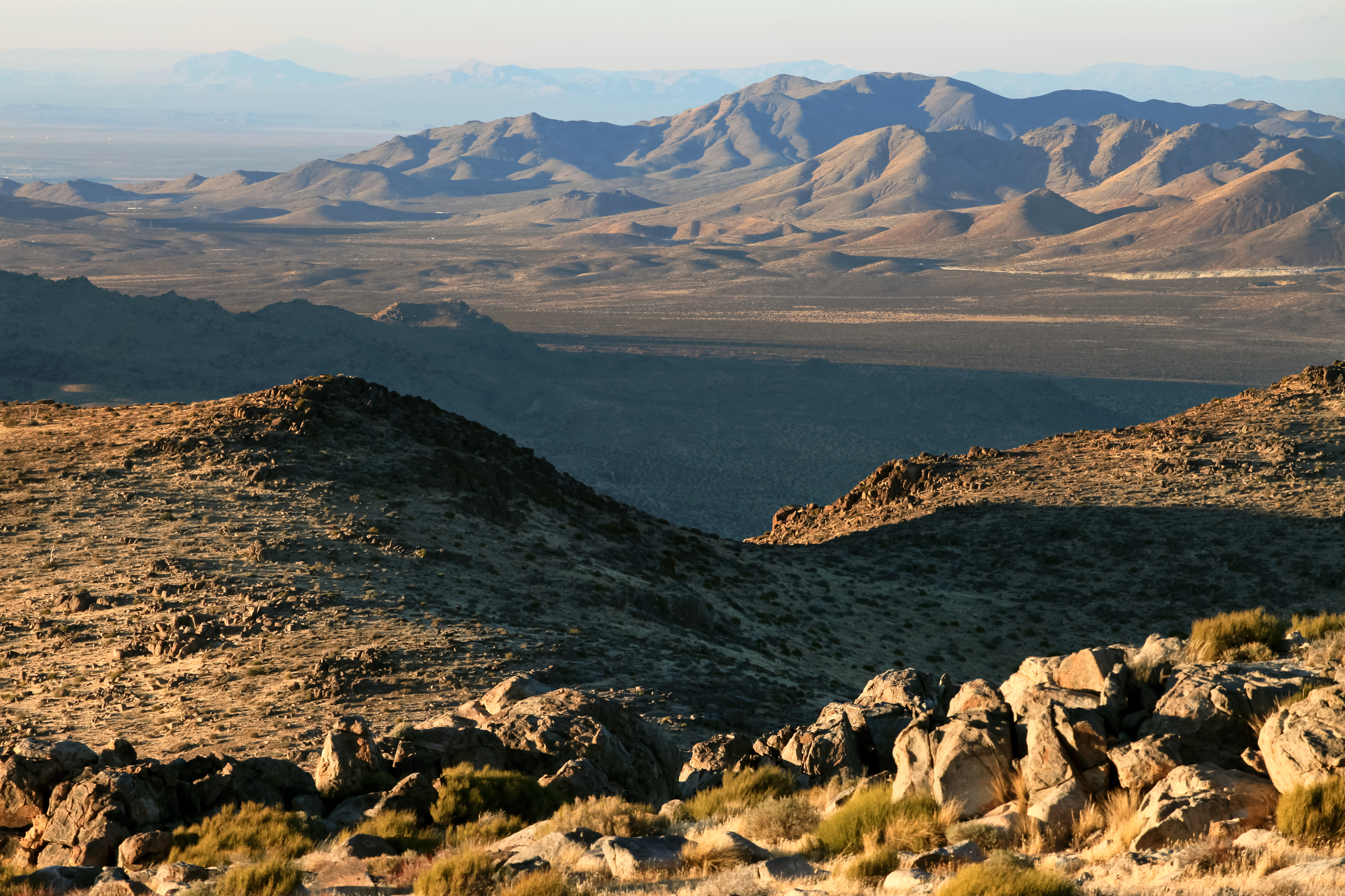
View West from Ord Mountains
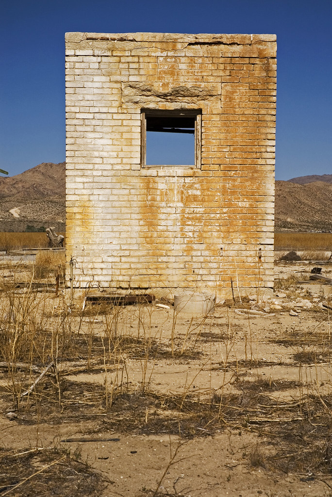
brick shack
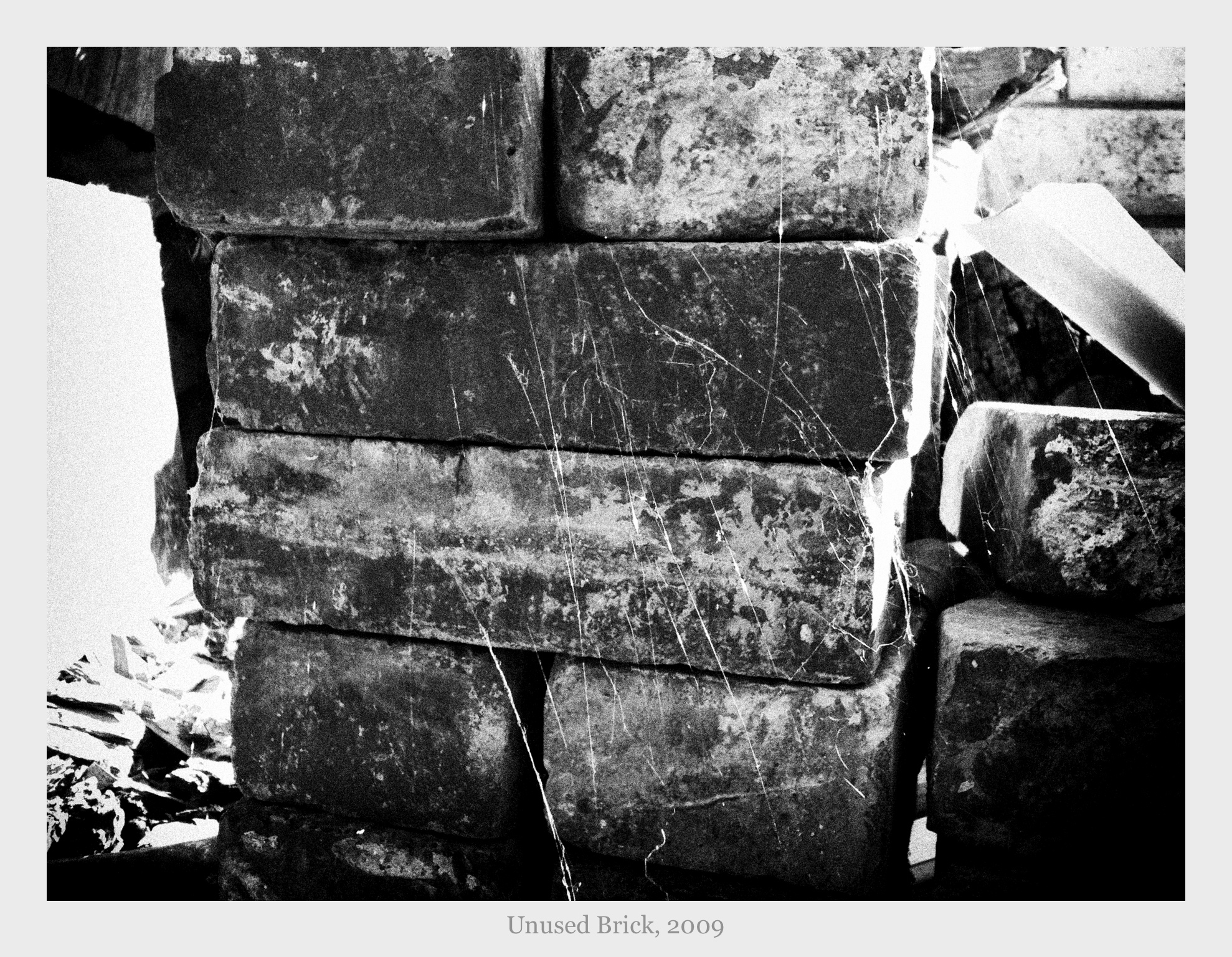
Unused Brick
through the window
Fire view from my house
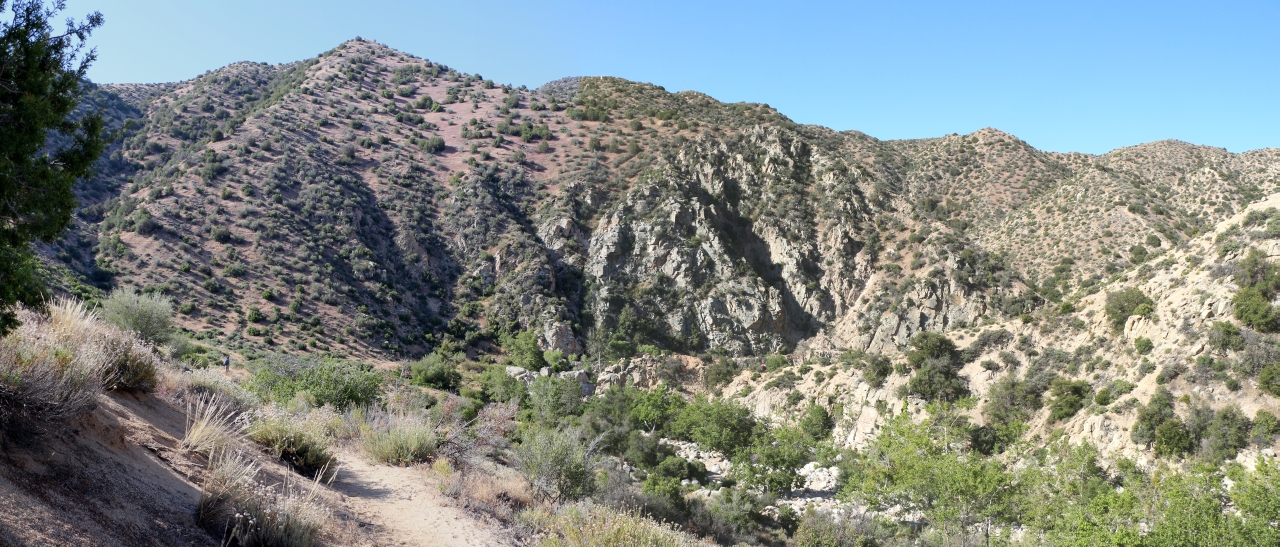
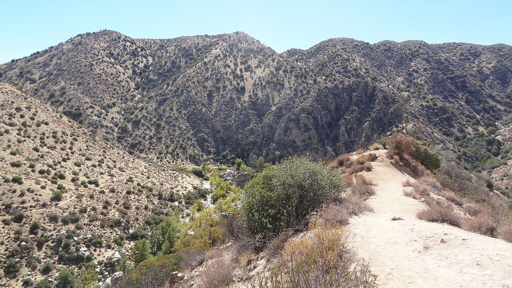
Silver Creek Canyon
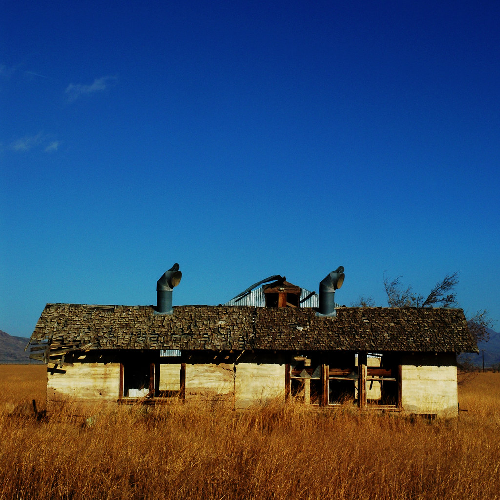
Abandoned Ranch
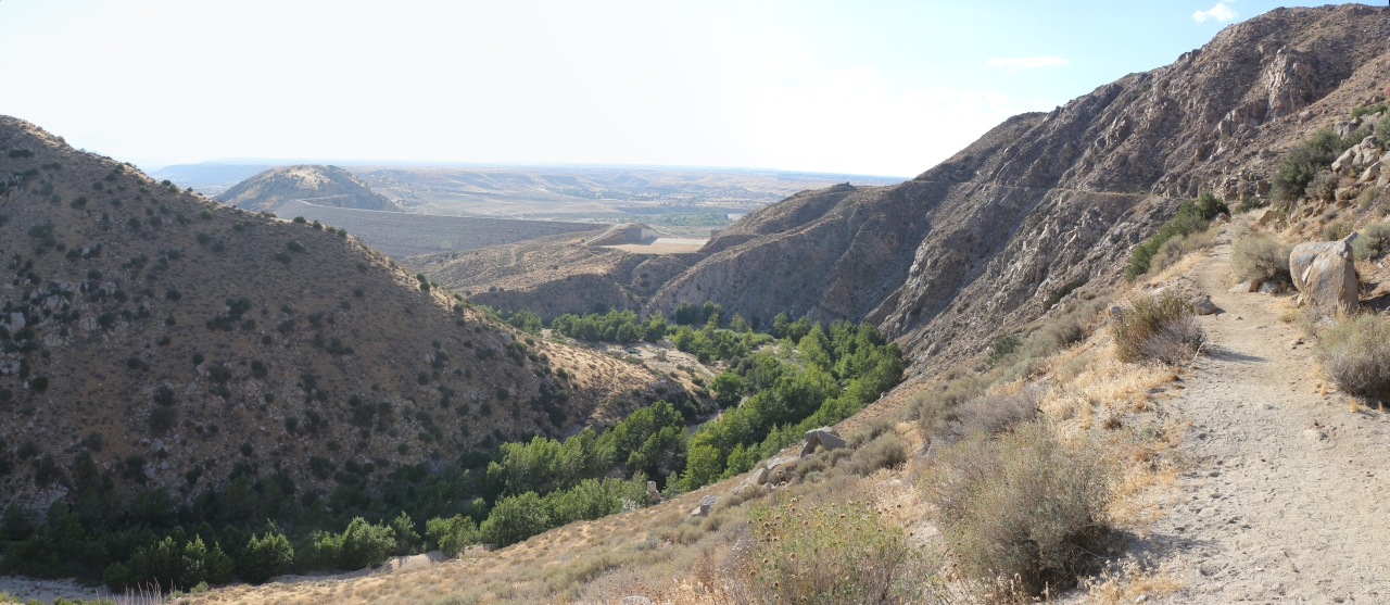
1440 Our first view of the Mojave Spillway from the PCT
1425 Panorama view of Deep Creek near PCT mile 312 - only two miles to the car
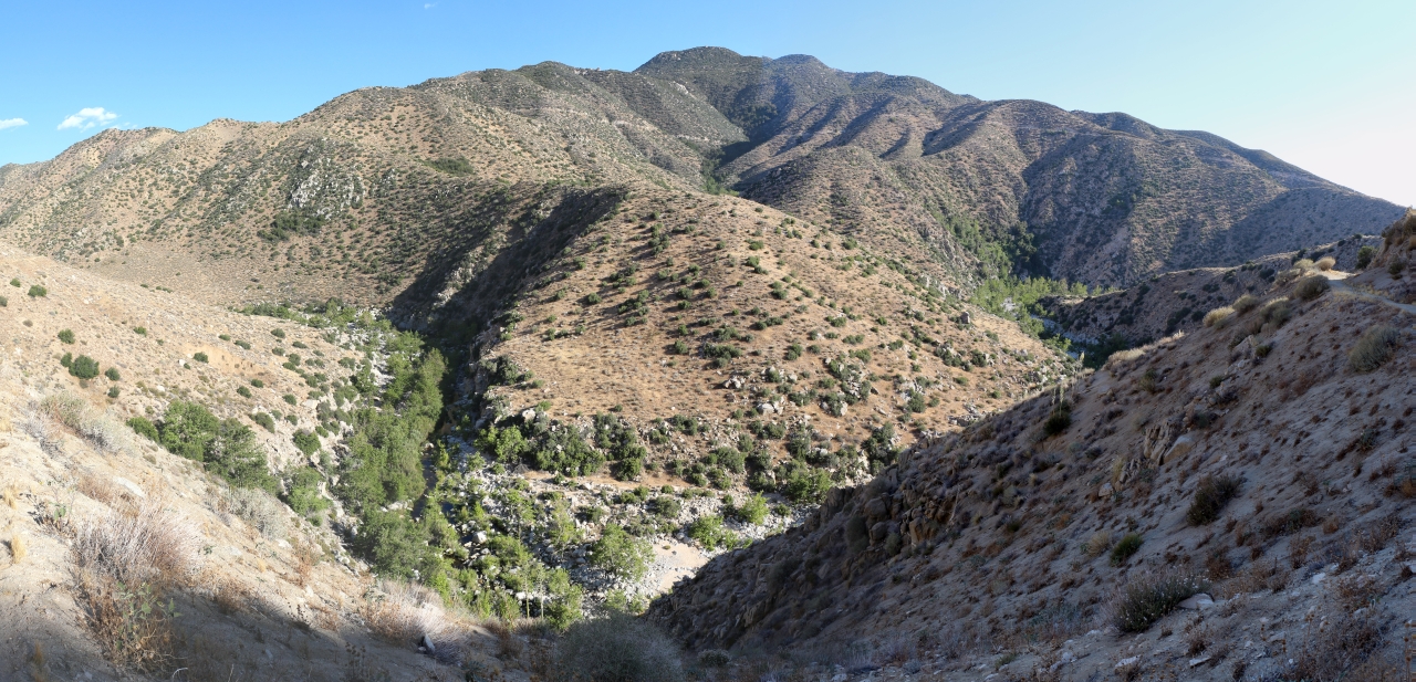
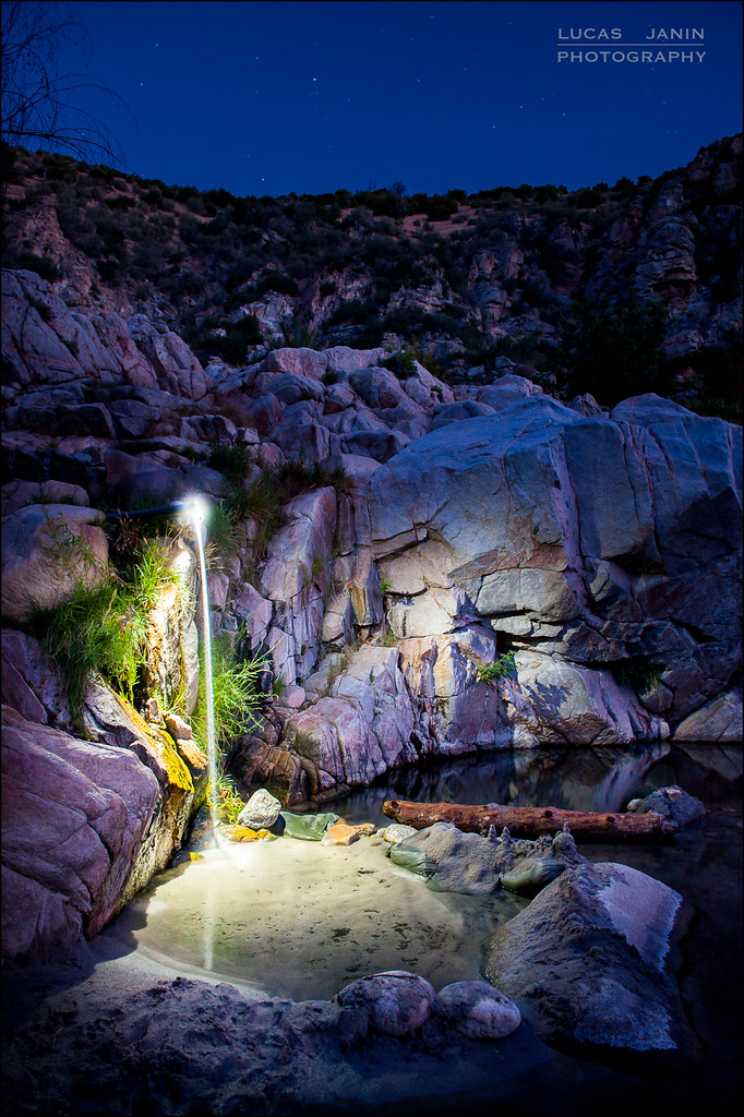
1192 We get our first view of the Deep Creek Hot Springs area, at PCT mile 308
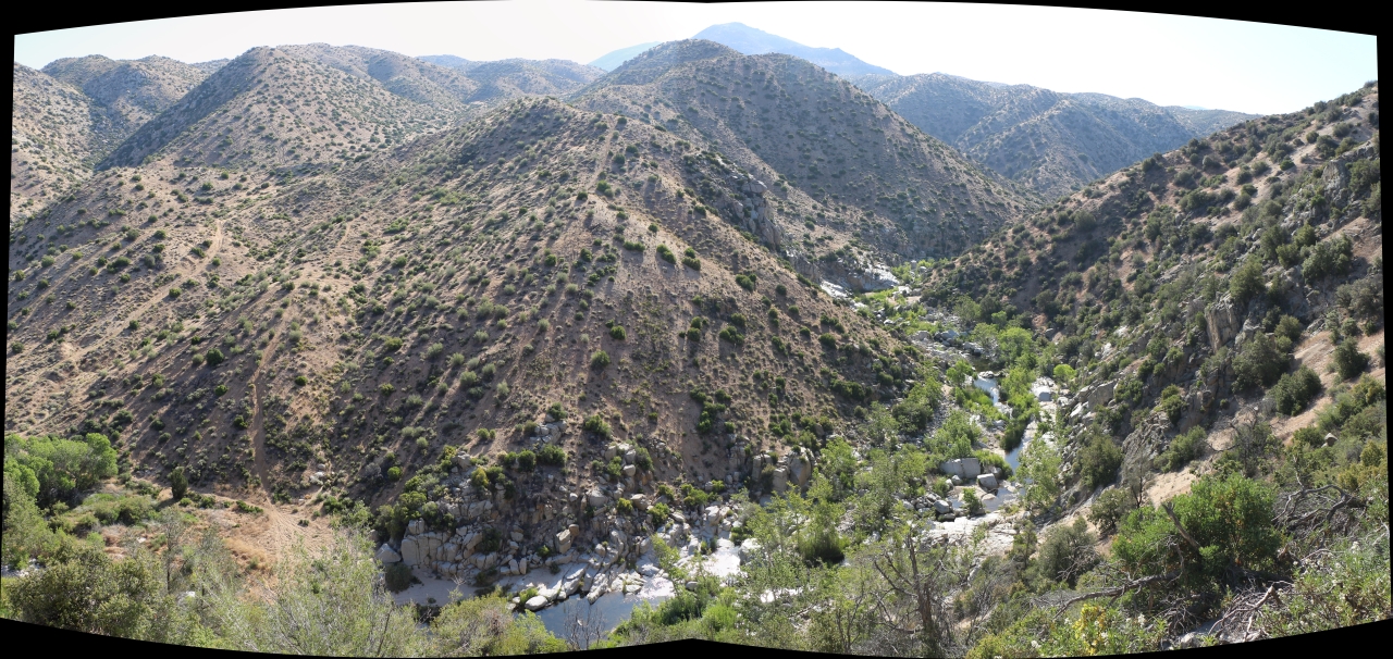
1167 Panorama view east over Deep Creek with Luna Mountain (5967 ft) in the distance from the PCT
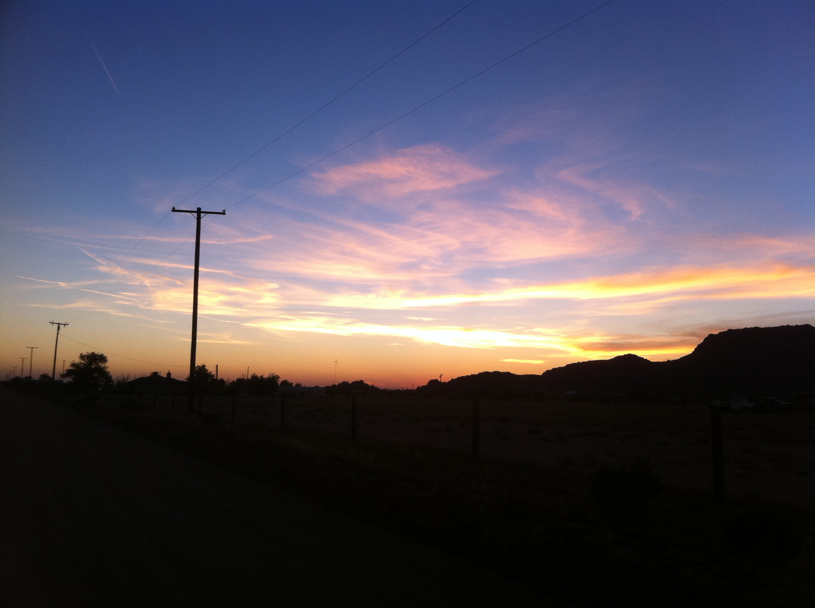
Sunrise at Grandma's House
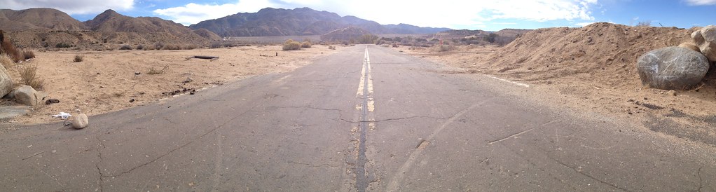
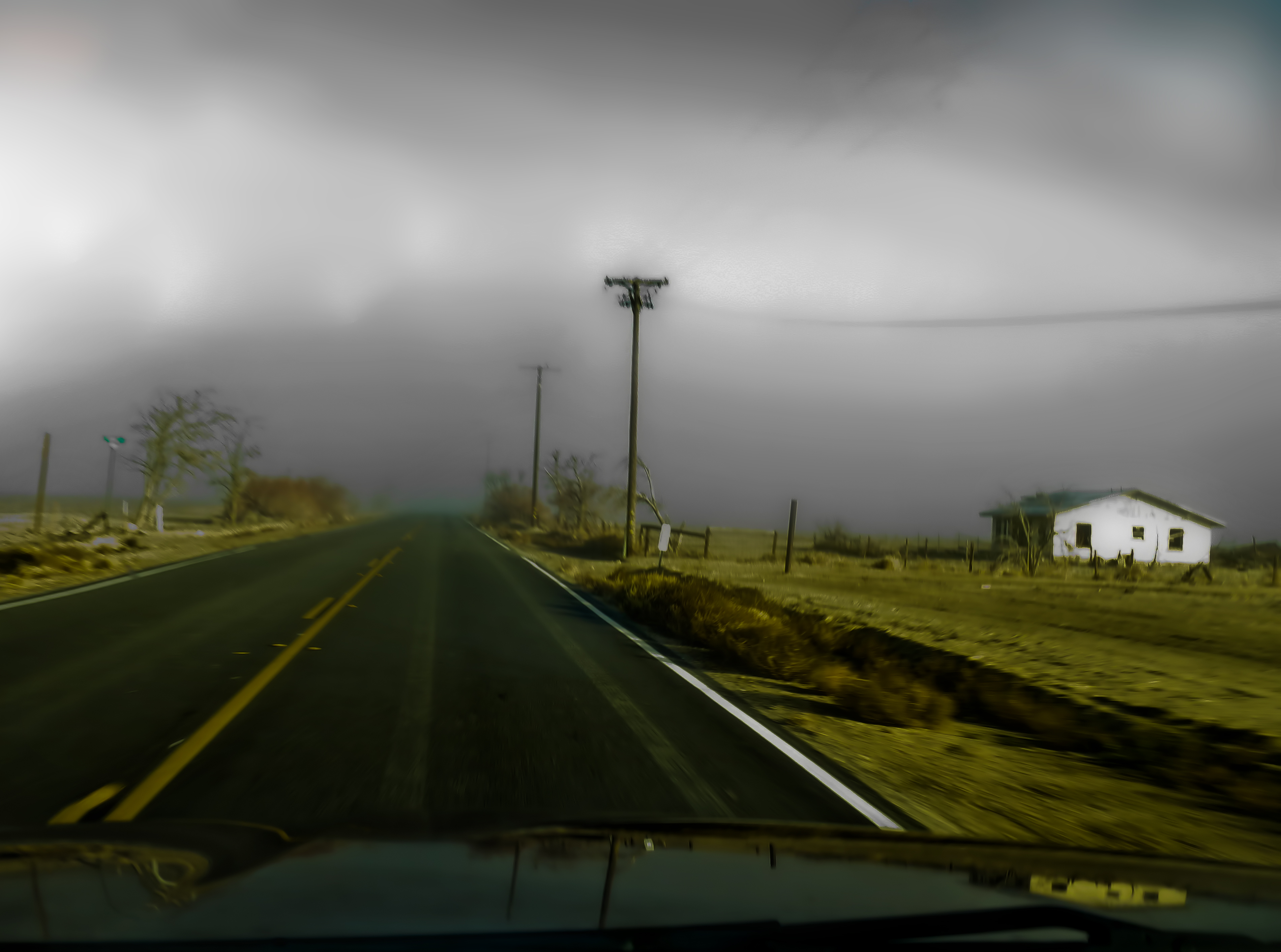
Deserted highway
Portrait of a Nation
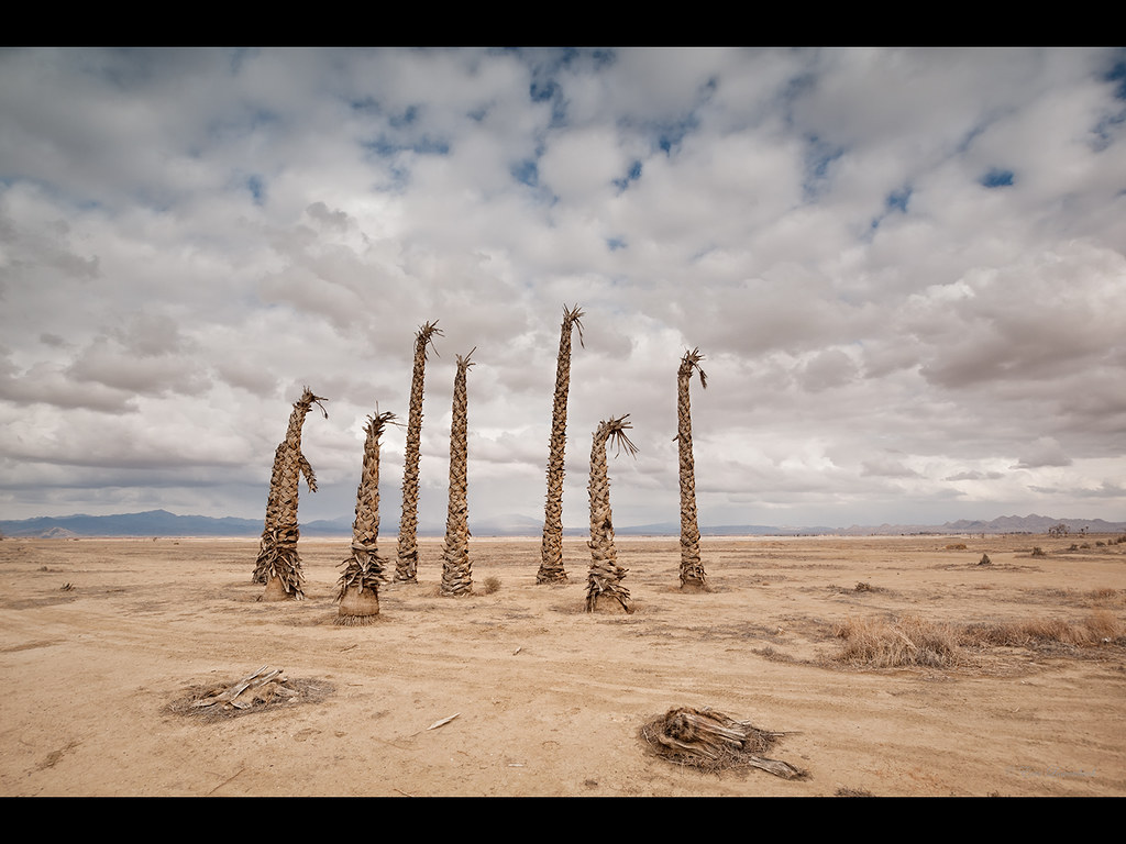
Several Failed Palms

1981 Jeep CJ-7
Deep Creek, California
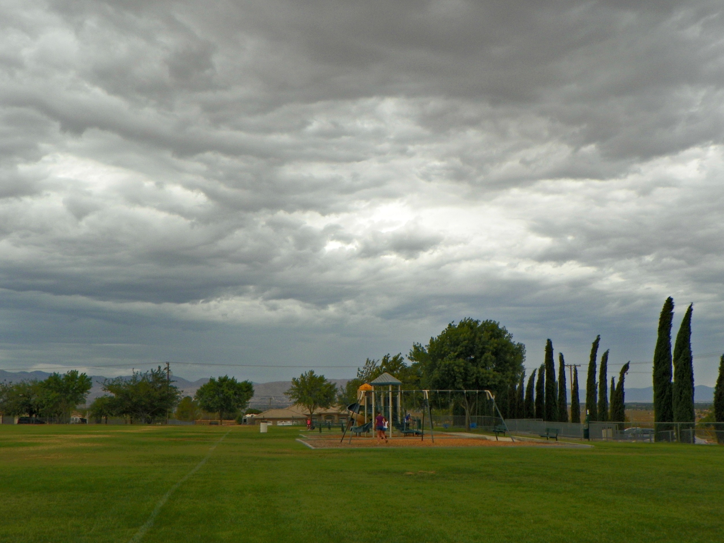
Cloudy Park
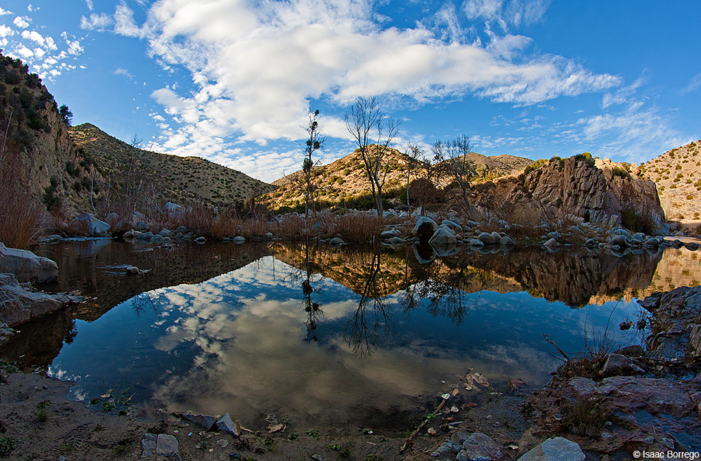
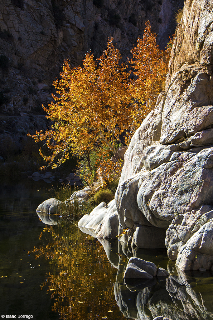
Canyon Reflections - Deep Creek, California
Waterfall of Light
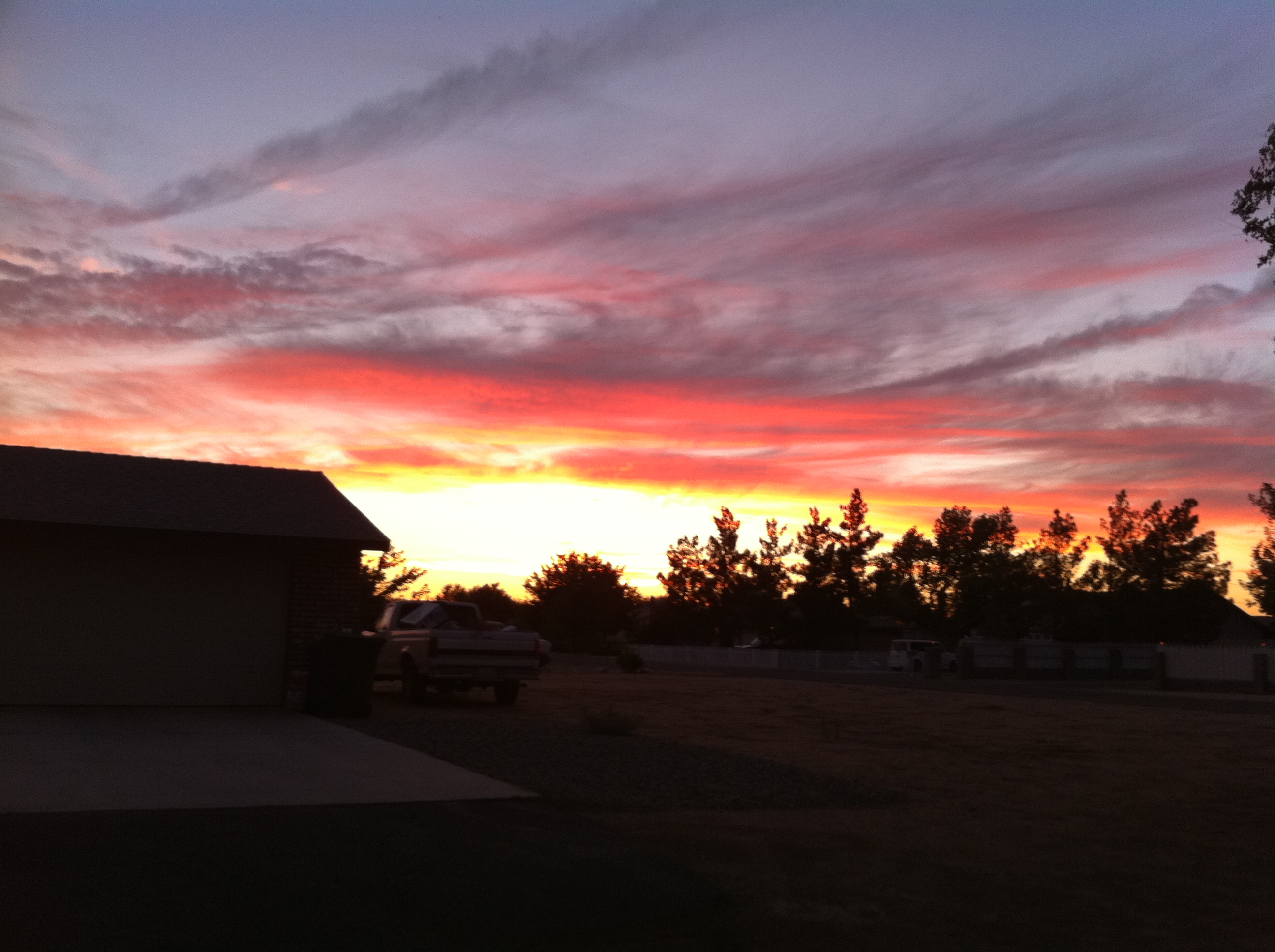
A peaceful sunset
Fire on the Water
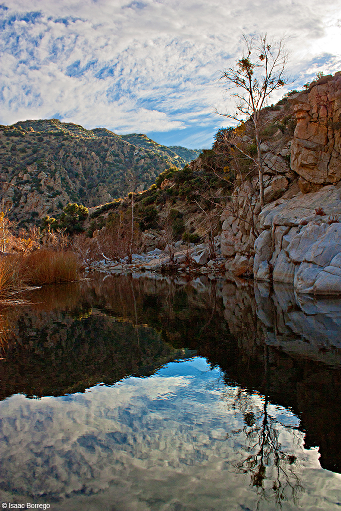
Deep Creek Reflection - California

Sunrise on the Golf Course
Supposedly I live in the Mojave Desert.
13.4 miles, because, hot springs.
Telephone sky
Burning timber
20131008 GOPS Deep Creek Hike (102)
20131024 Deep Creek Hike (101)
Topographic Map of Roundup Way, Apple Valley, CA, USA
Find elevation by address:

Places near Roundup Way, Apple Valley, CA, USA:
26230 Rancho St
Bowen Ranch Road
Easy Street
Easy Street
22150 Roundup Way
22206 Tussing Ranch Rd
Ocotillo Way
Wren Street
Joshua St, Apple Valley, CA, USA
Joshua Street
10525 Balsa St
10855 Mohawk Rd
11037 Mohawk Rd
20585 Memory Ln
Sunset Dr, Apple Valley, CA, USA
8180 Deep Creek Rd
10741 Lake Shore Dr
19232 Yucca St
19142 Sheffield St
19020 Monterey St
Recent Searches:
- Elevation of Felindre, Swansea SA5 7LU, UK
- Elevation of Leyte Industrial Development Estate, Isabel, Leyte, Philippines
- Elevation of W Granada St, Tampa, FL, USA
- Elevation of Pykes Down, Ivybridge PL21 0BY, UK
- Elevation of Jalan Senandin, Lutong, Miri, Sarawak, Malaysia
- Elevation of Bilohirs'k
- Elevation of 30 Oak Lawn Dr, Barkhamsted, CT, USA
- Elevation of Luther Road, Luther Rd, Auburn, CA, USA
- Elevation of Unnamed Road, Respublika Severnaya Osetiya — Alaniya, Russia
- Elevation of Verkhny Fiagdon, North Ossetia–Alania Republic, Russia