Elevation of Round Top, TX, USA
Location: United States > Texas > Fayette County >
Longitude: -96.696086
Latitude: 30.0652201
Elevation: 134m / 440feet
Barometric Pressure: 100KPa
Elevation Map:
Satellite Map:
Related Photos:

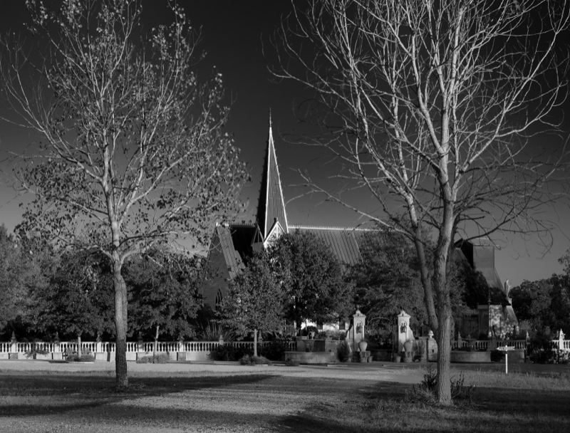
bethlehem lutheran church cemetery

A Step Above

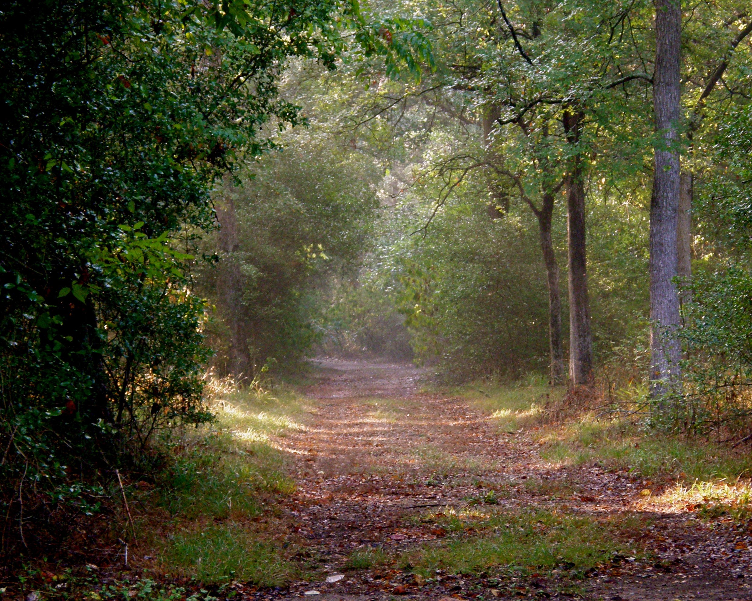
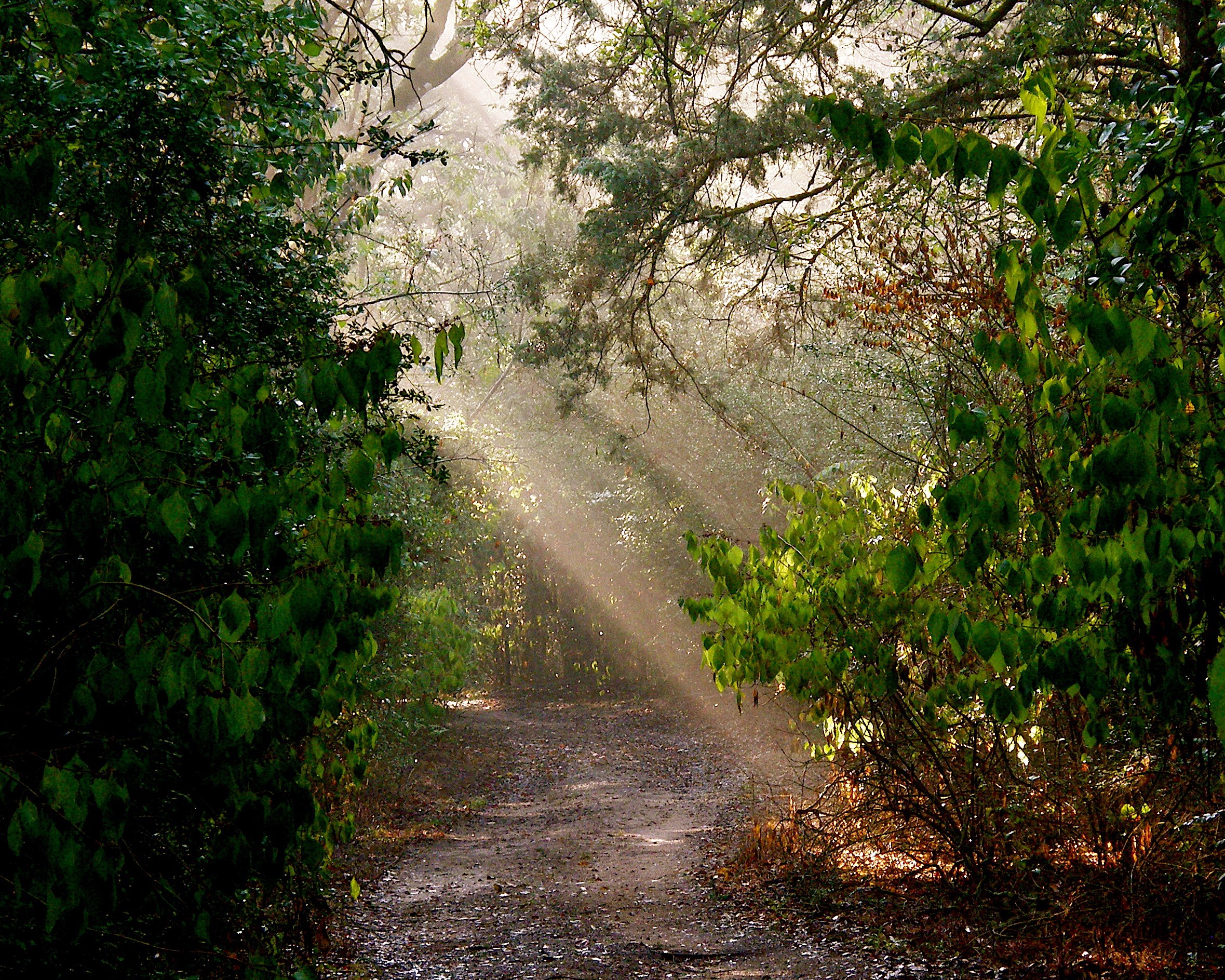
Road to Round Top Texas

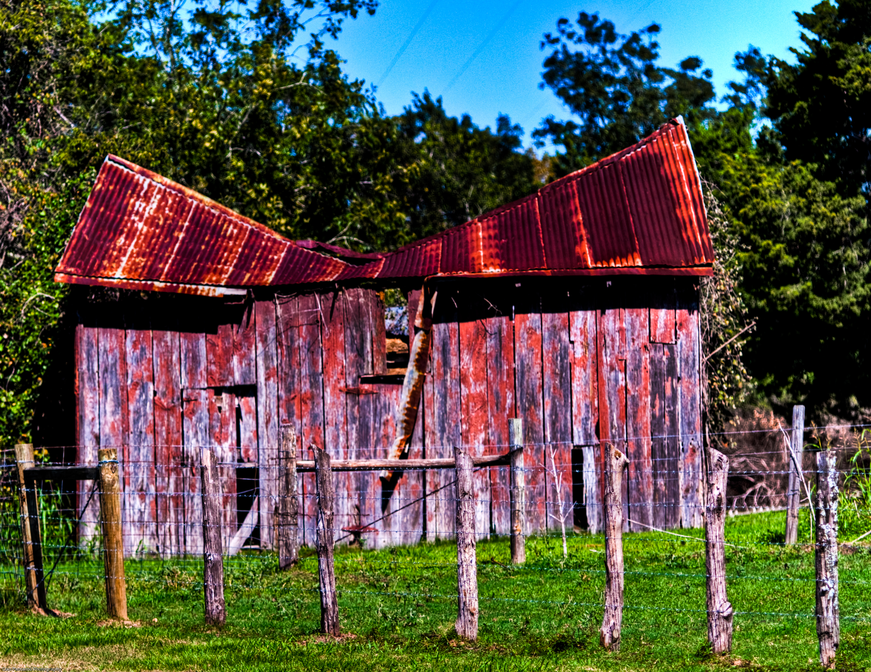
Seen Better Days

Power Plant at Night

Road to Round Top Texas
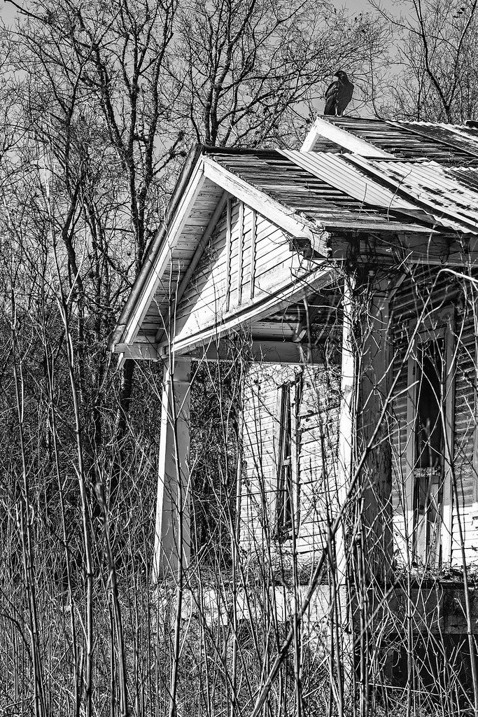
Vulture House
Road to Round Top Texas

Butterfly Magic on Road to Round Top Texas
Road to Round Top Texas

Road to Round Top Texas

Most Popular Businesses in Round Top, Texas
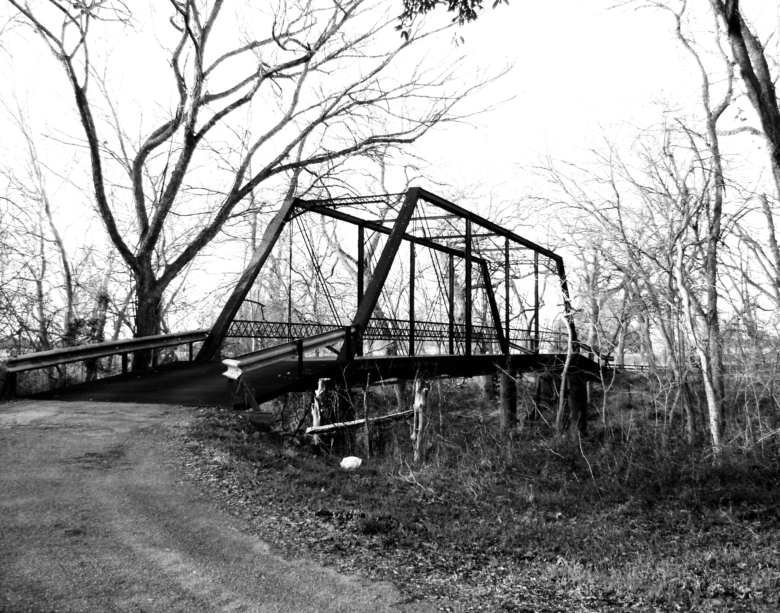
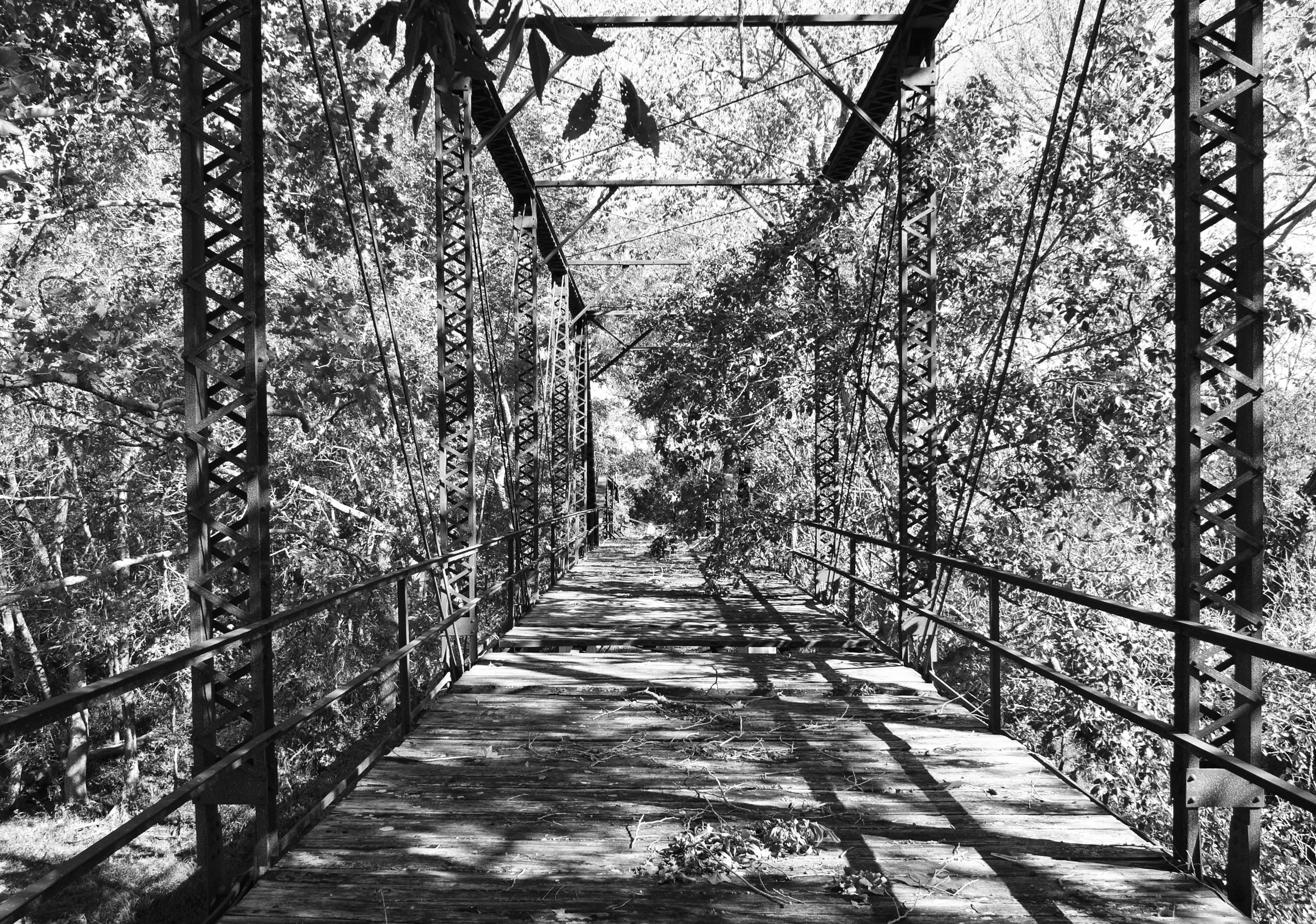
Willow Springs Road Bridge over Cummins Creek, Fayette County, Texas 0130101656BW

Road to Round Top Texas
Chapel Path

Road to Round Top Texas

The concert hall

Flowers - 2
St. Joseph - 1

Soda Bottle Lilypads
St. Joseph - 8

"The bluebonnets are back!"

2011-04-21 - La Bahia, TX - 6153
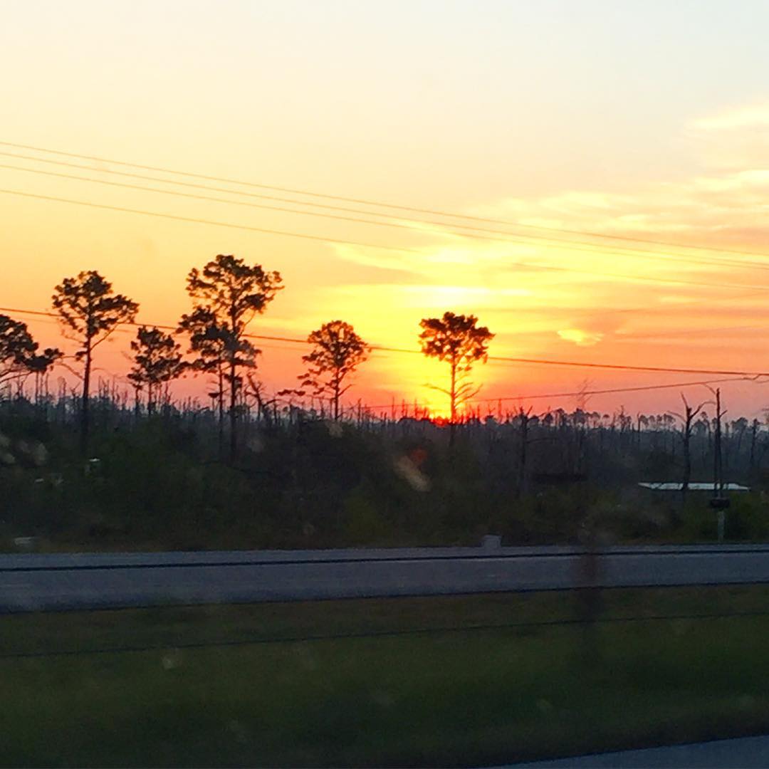
Good morning from Round Top, Texas! I hope your Easter weekend is as lovely as this morning's sunrise!
Haw Creek Rd Bridge over Cummins Creek 1411181035bw

Trails - 5
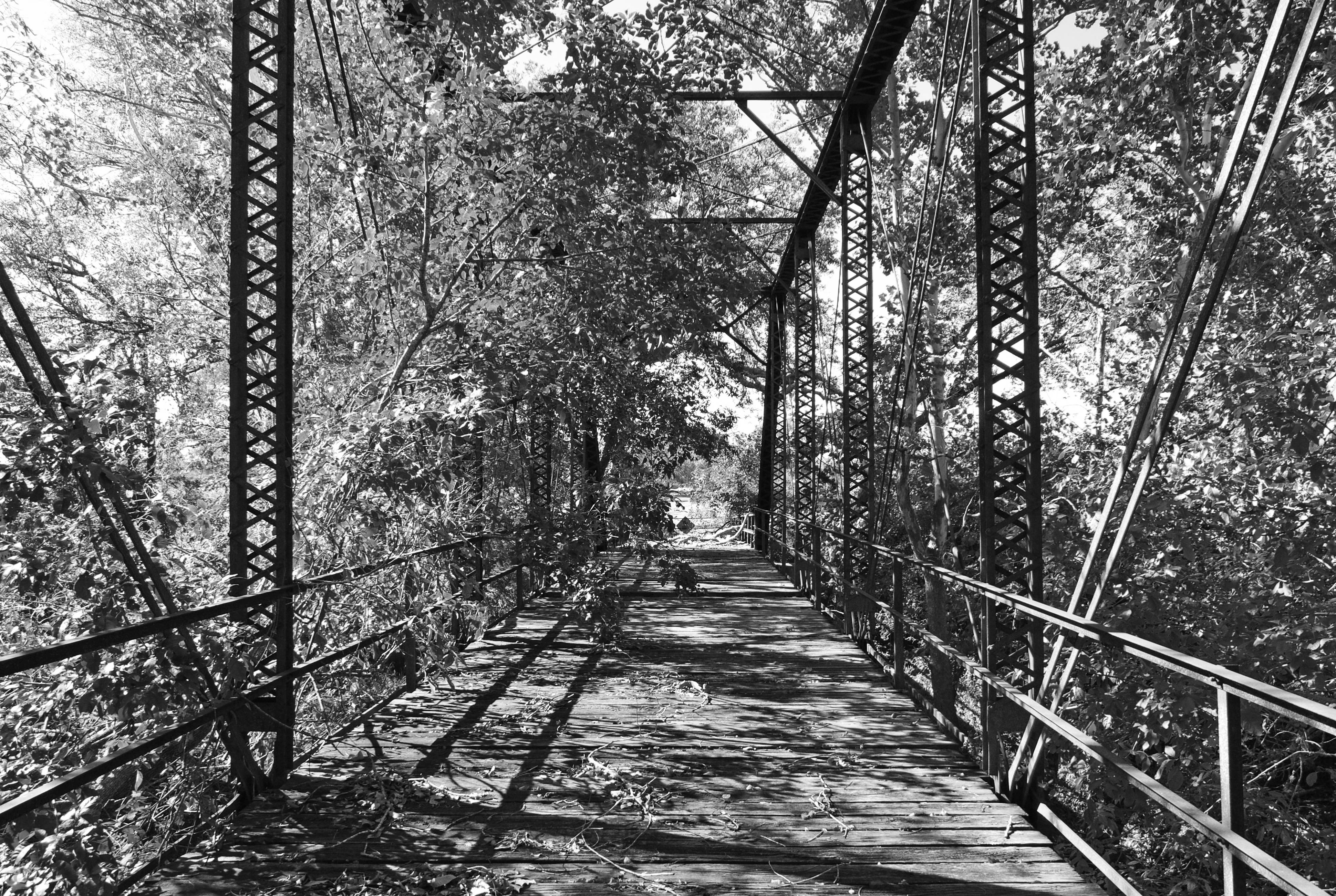
Haw Creek Rd Bridge over Cummins Creek 1411181041bw

Graveyard, Round Top, TX

Washington County --Boundary School Road Bluebonnets #2 -- 4/19/09

Austin County Wildflower Field

Austin County Bluebonnet Field -- Mar 2012

Austin County Bluebonnet Field and Hay Bales -- Mar 2012
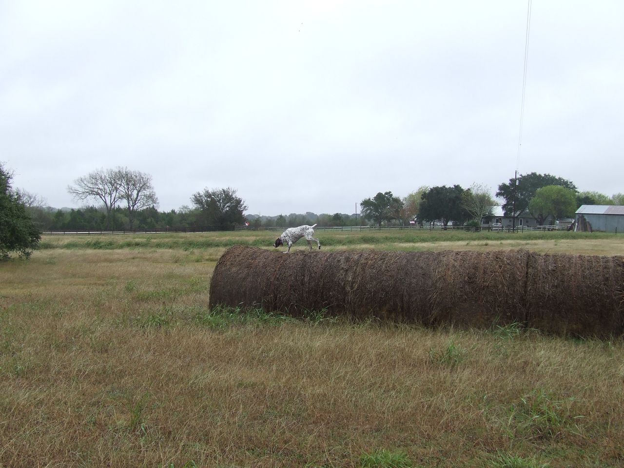
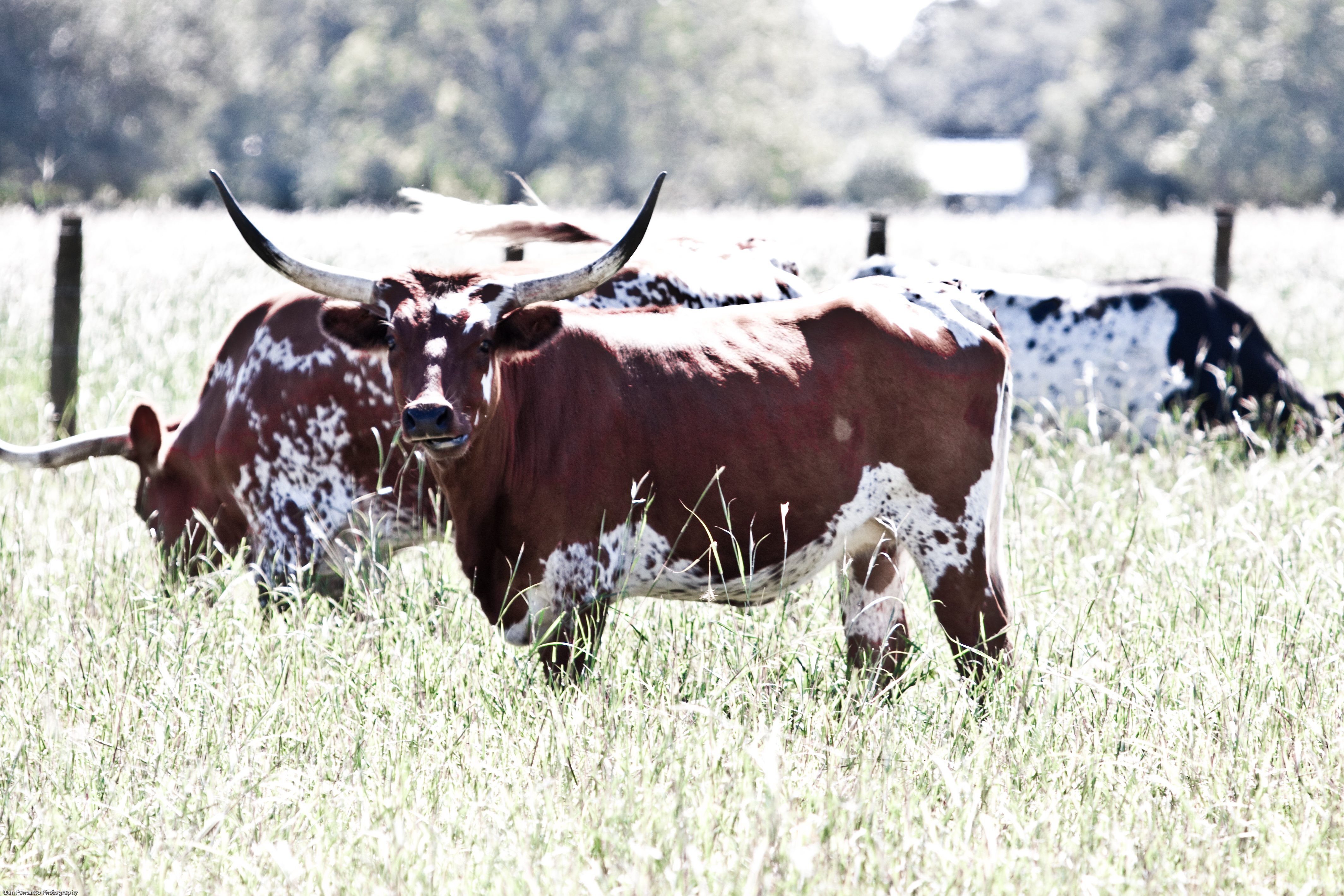
Lucy Showing Off
Topographic Map of Round Top, TX, USA
Find elevation by address:

Places in Round Top, TX, USA:
Places near Round Top, TX, USA:
509 N Live Oak St
1021 Round Top Rd
1109 Jaster Rd
717 Florida Chapel Rd
3012 Round Top Rd
Marburger Lane
FM, Round Top, TX, USA
Walhalla
Fm 389
Shelby
11400 Schuster Rd
11620 Schuster Rd
6614 Goehring Rd
6614 Goehring Rd
Willow Springs Road
1546 Willow Springs Rd
1546 Willow Springs Rd
1546 Willow Springs Rd
Ledbetter
1951 Bell Settlement Rd
Recent Searches:
- Elevation of Corso Fratelli Cairoli, 35, Macerata MC, Italy
- Elevation of Tallevast Rd, Sarasota, FL, USA
- Elevation of 4th St E, Sonoma, CA, USA
- Elevation of Black Hollow Rd, Pennsdale, PA, USA
- Elevation of Oakland Ave, Williamsport, PA, USA
- Elevation of Pedrógão Grande, Portugal
- Elevation of Klee Dr, Martinsburg, WV, USA
- Elevation of Via Roma, Pieranica CR, Italy
- Elevation of Tavkvetili Mountain, Georgia
- Elevation of Hartfords Bluff Cir, Mt Pleasant, SC, USA