Elevation of Roullier Rd, Ronan, MT, USA
Location: United States > Montana > Lake County > Ronan >
Longitude: -114.09099
Latitude: 47.5891779
Elevation: 944m / 3097feet
Barometric Pressure: 90KPa
Elevation Map:
Satellite Map:
Related Photos:
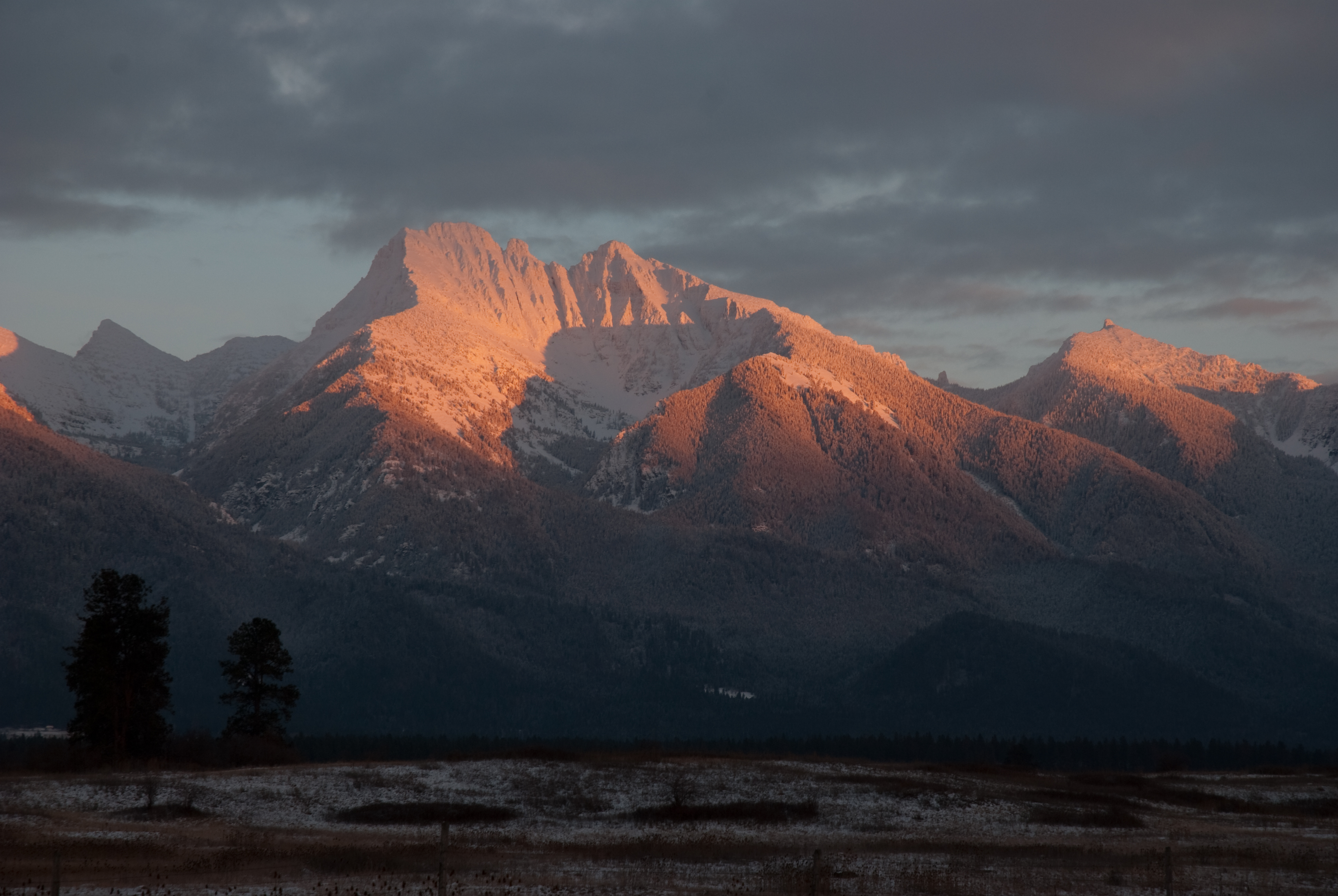
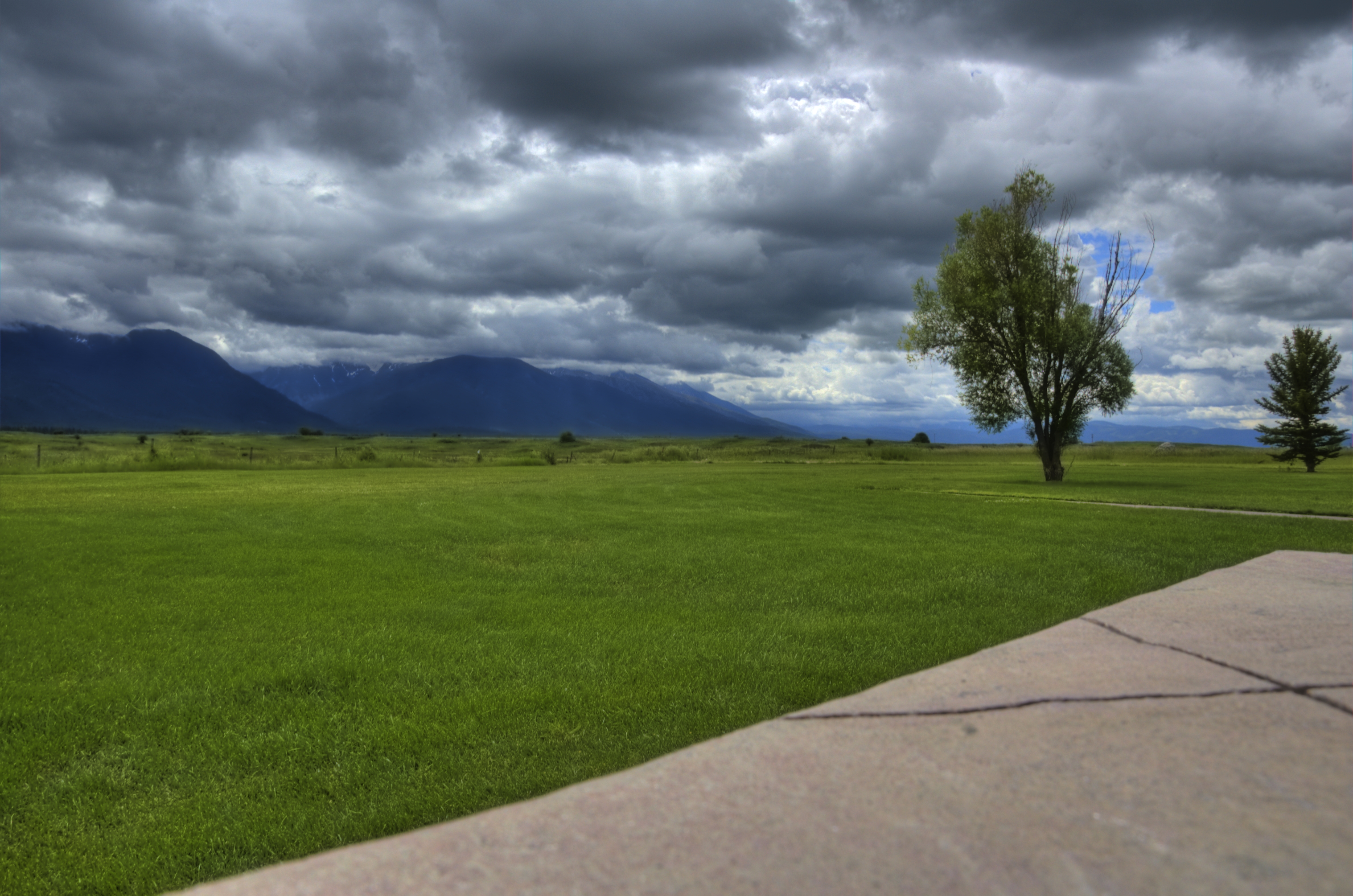
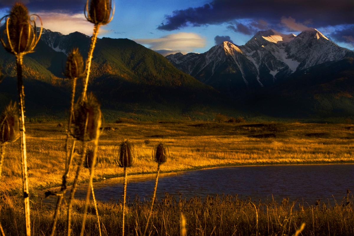
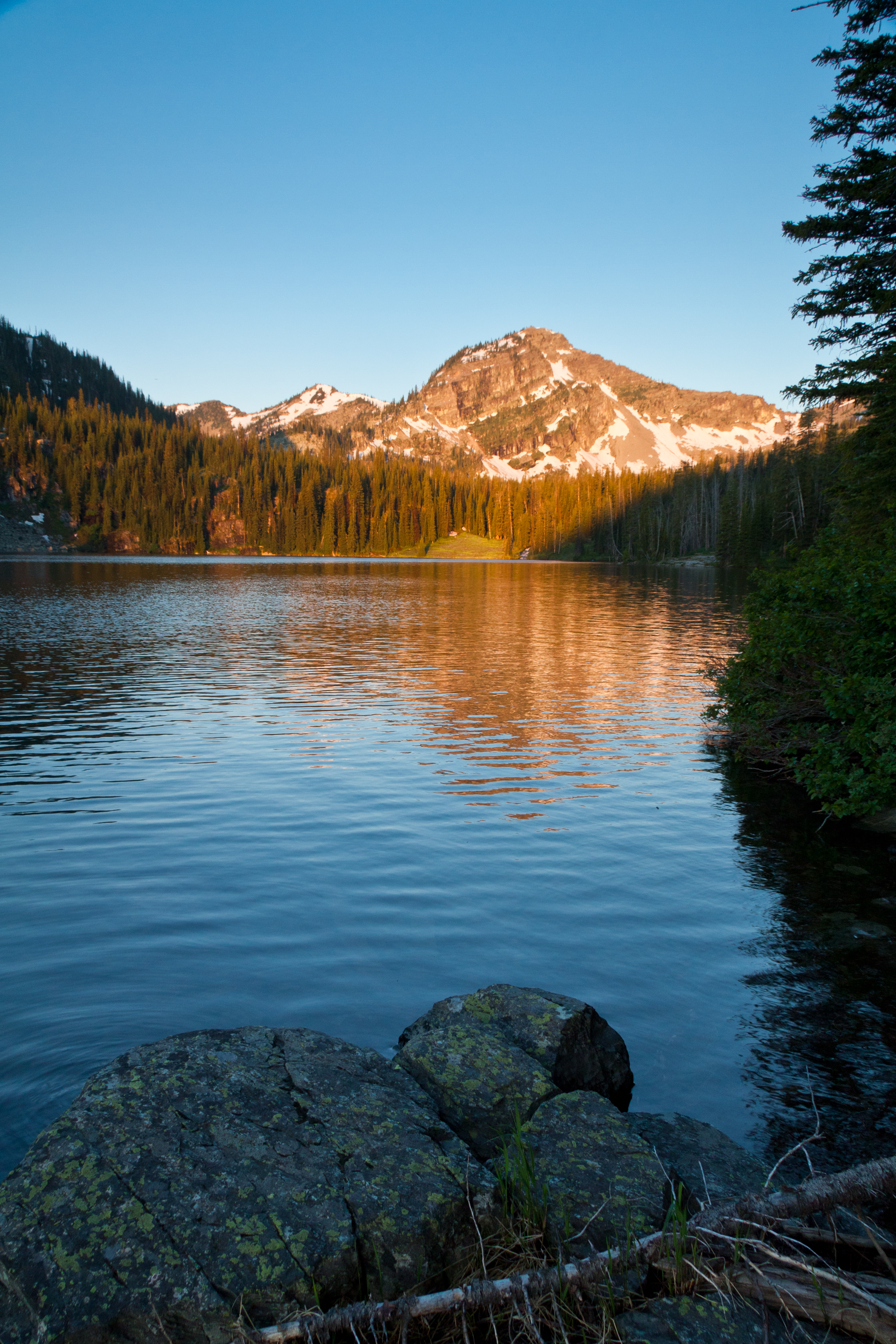
Mission Mountains sunset
D70-0511-008 - View to West
What should I call this one...
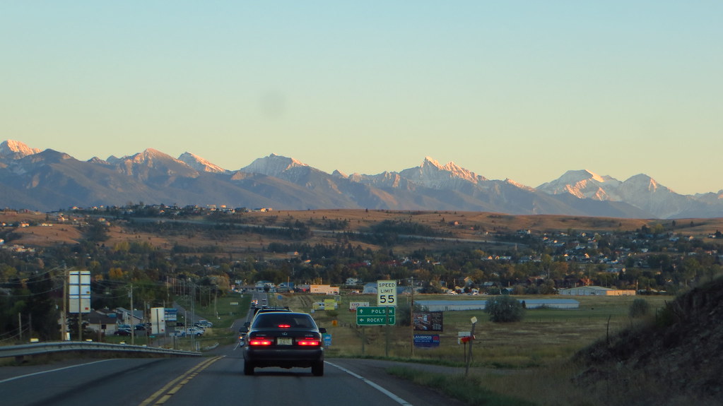
flat head lake highway93 - 1
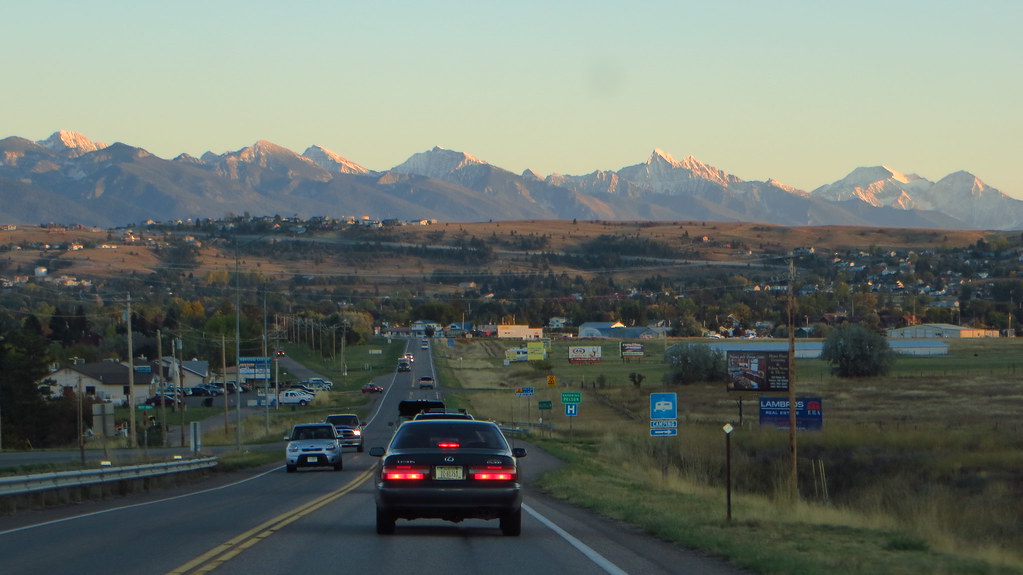
Montana, highway 93 North - 2
Montana, highway 93 North
flat head lake highway93 - 2

Somewhere over WY
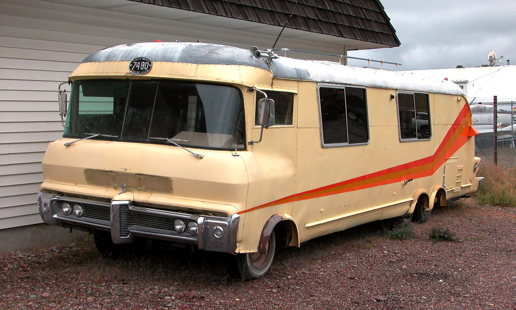
Miracle of America Museum: RV
Mission Mountain Range overlooking Polson, Montana
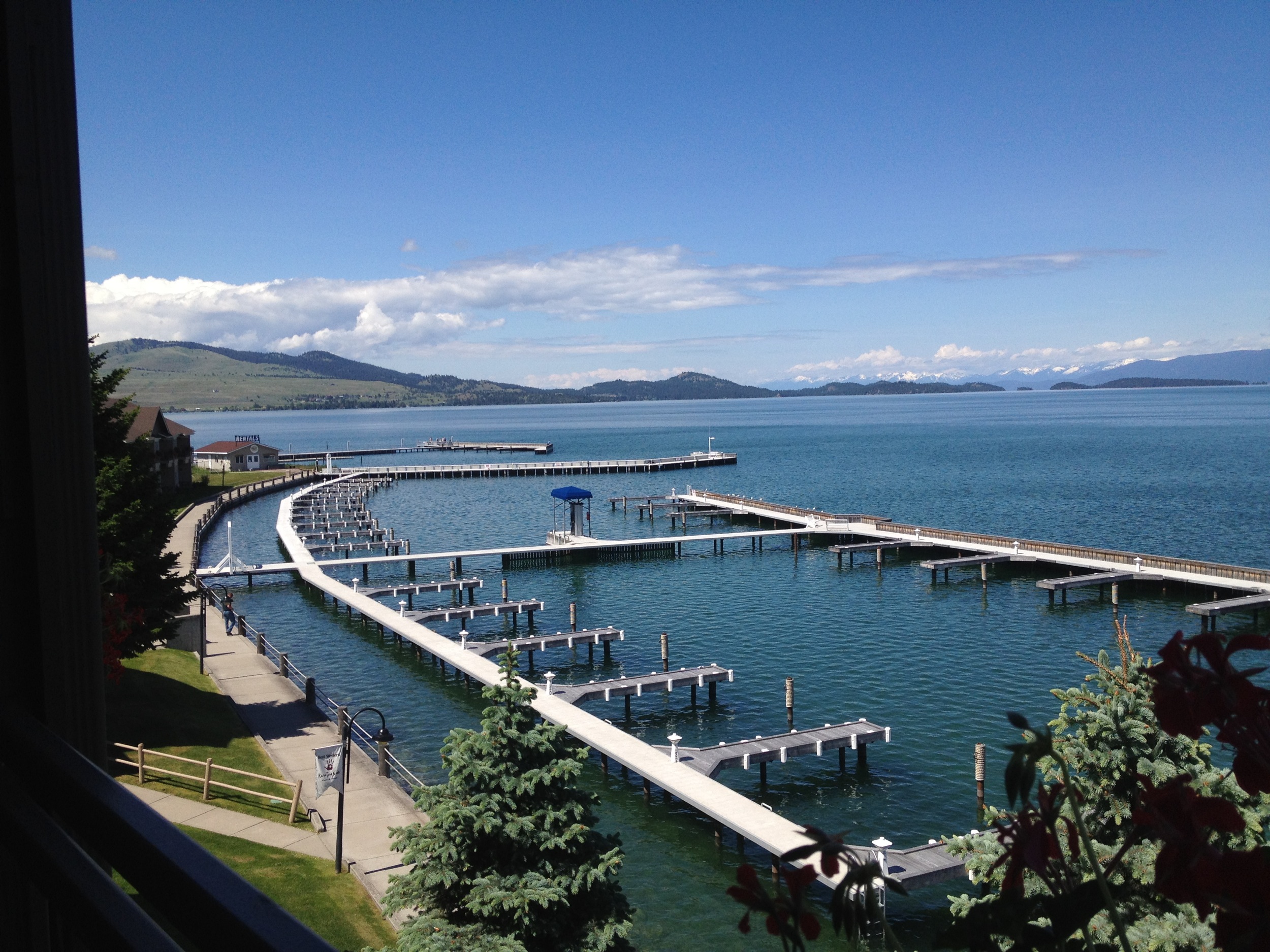
View From My Room at The KwaTaqNuk
Mission Mountain Range overlooking Polson, Montana
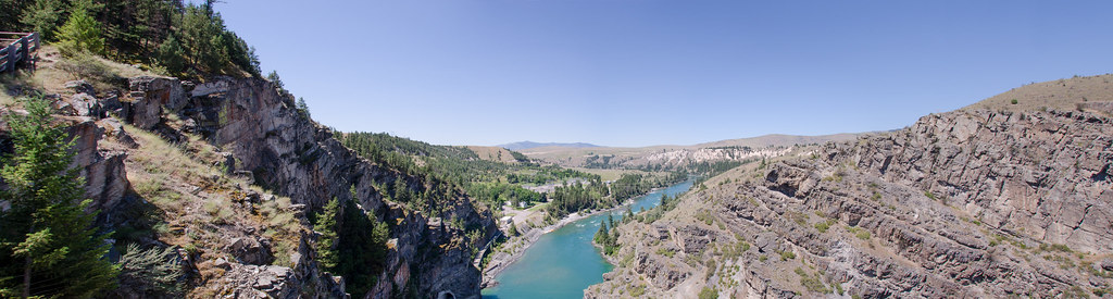
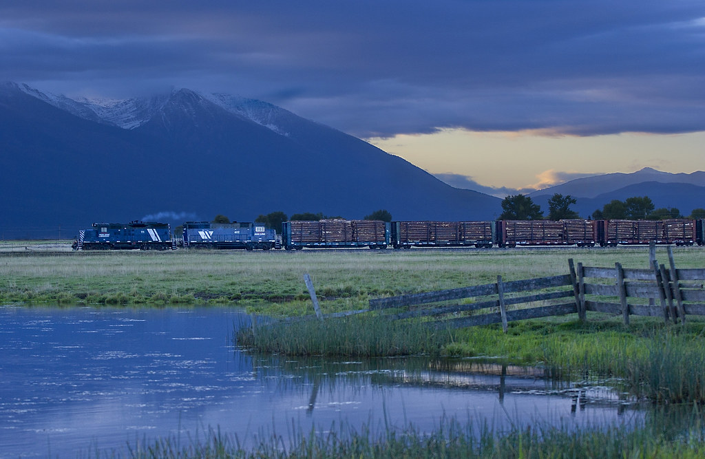
Flathead River Panorama
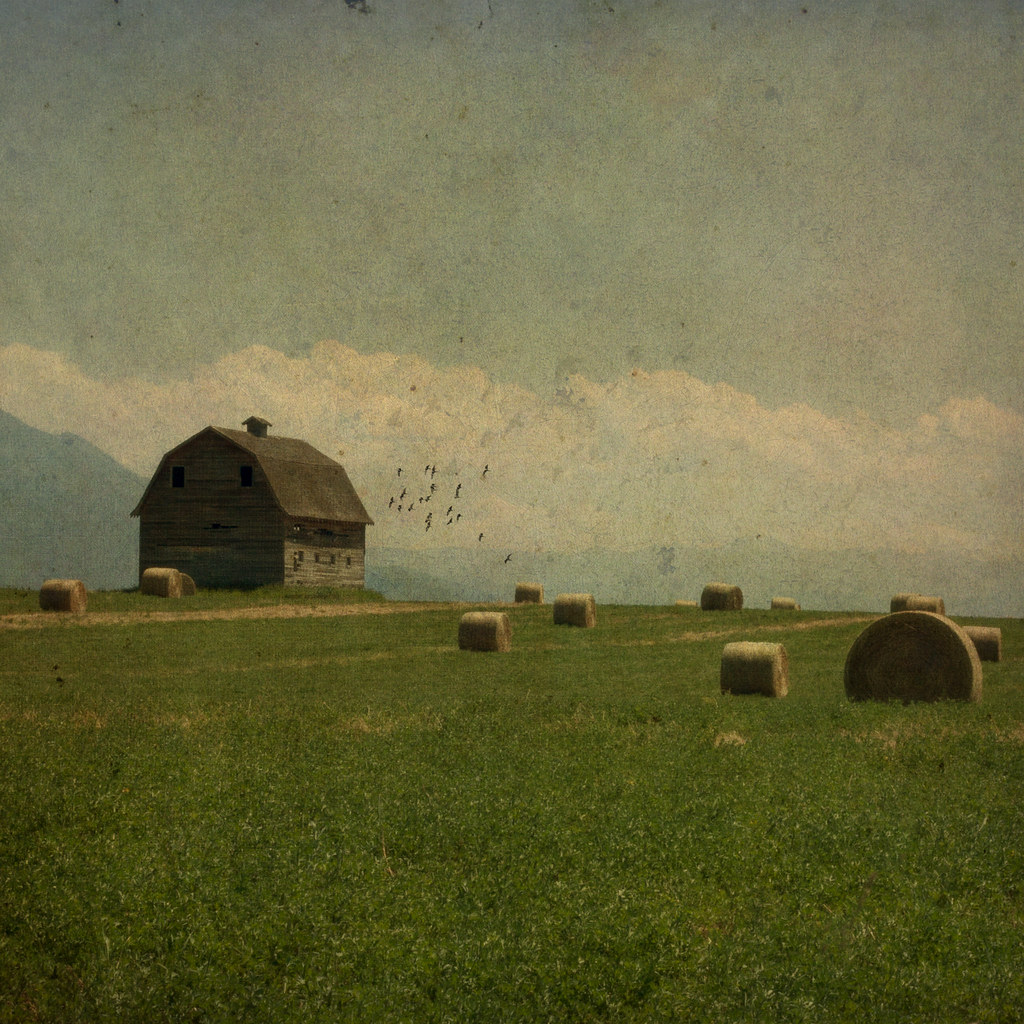
Sunlight on Baled Hay ~ Revisited

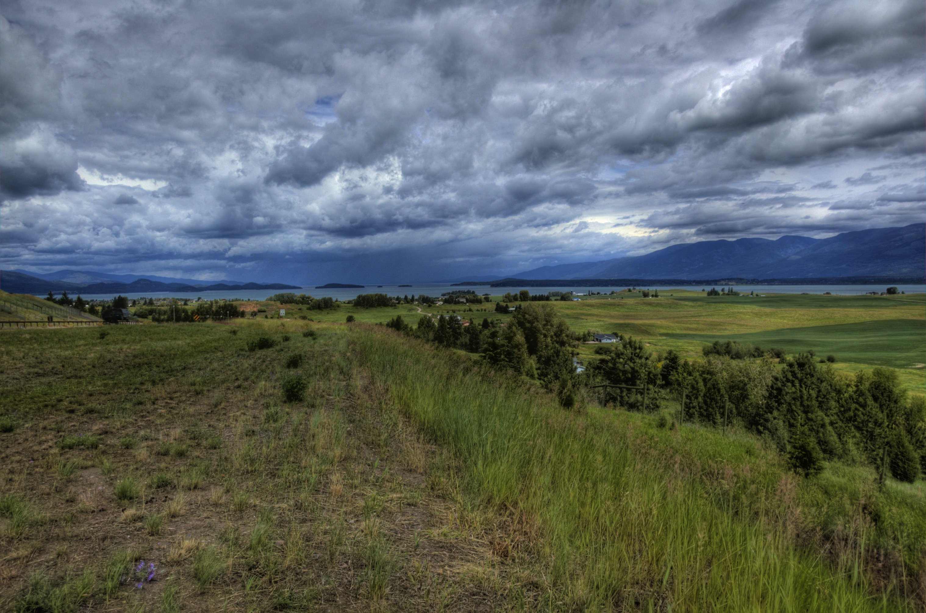
The Polson Blues
Polson Local

Camera Roll-125

Camera Roll-126

Sunset Ninepipes NWR
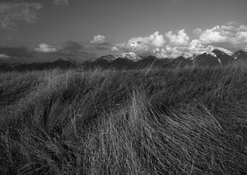
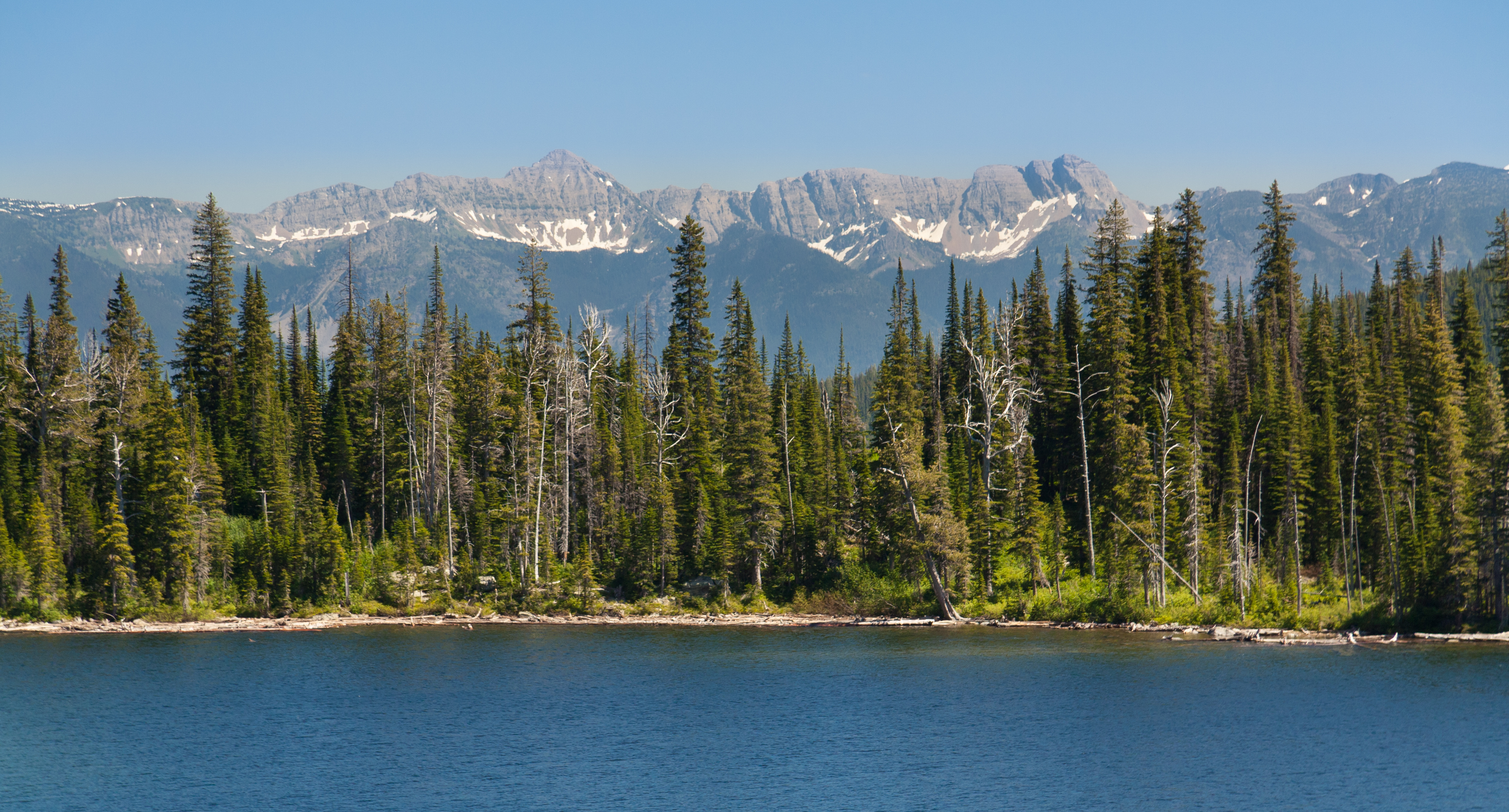
Mission Mountains
D70-0511-010 - Mission Mountains

D70-0511-006 - Bitteroot Mountains
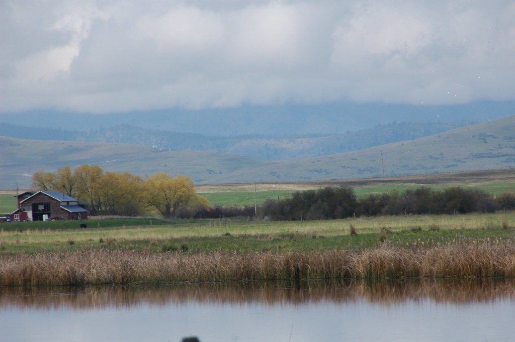
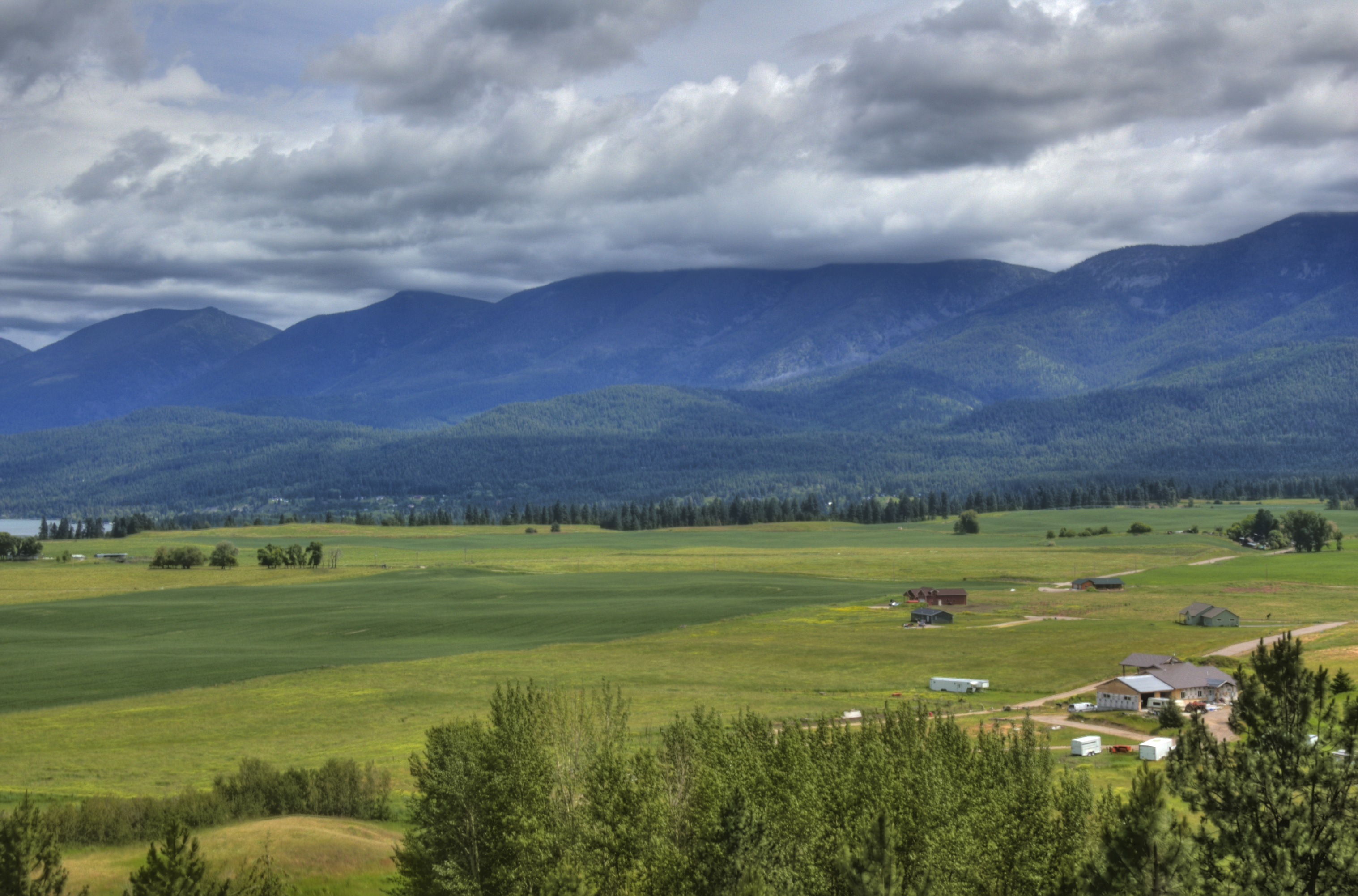
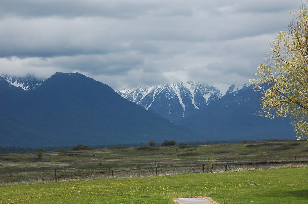
Mission Valley
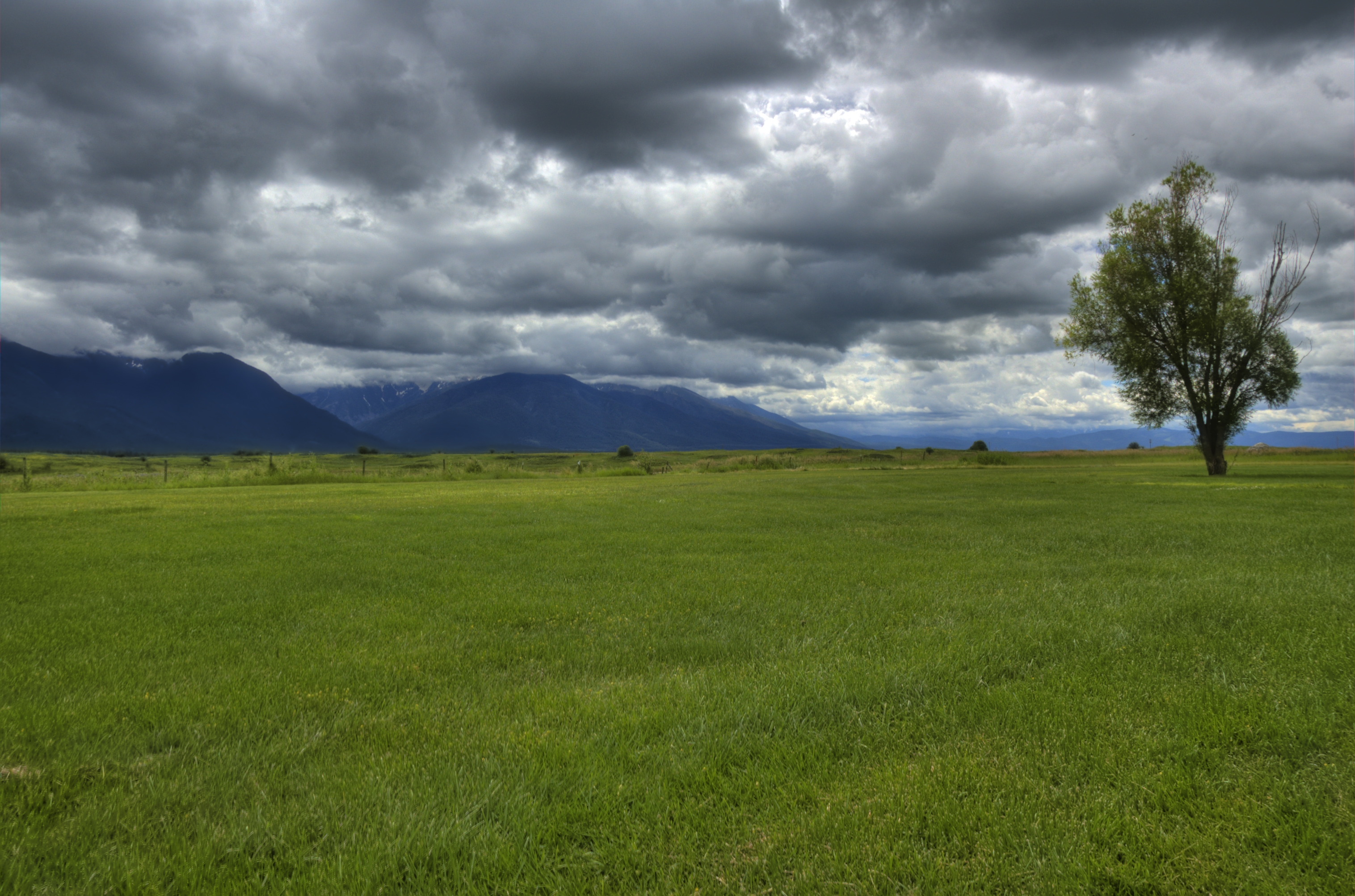
Mission Mountains sunset #2
Looking west at sunset
Ronan Sunset
Piper Lake
Swan Range

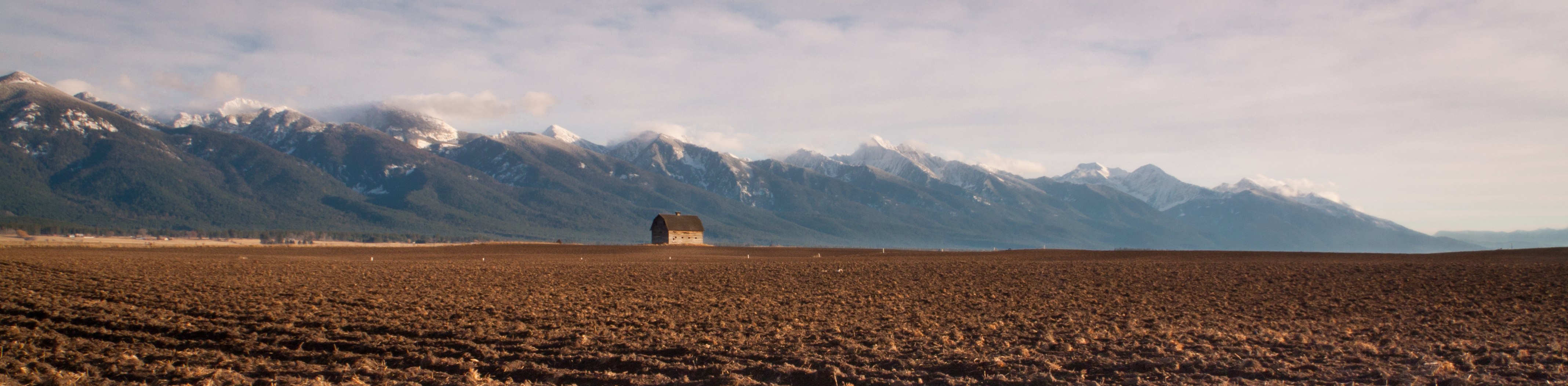
Fall Wheat and Barn

Trail to Cold Lakes

Kerr Dam, Flathead Lake, Polson MT

Lower Cold Lake
Topographic Map of Roullier Rd, Ronan, MT, USA
Find elevation by address:

Places near Roullier Rd, Ronan, MT, USA:
Pablo
33142 Canyon Mill Rd
Terrace Lake Road
Ronan
33457 Minesinger Trail
503 Dayton St Sw
Whitetail St, Polson, MT, USA
Lake County
MT-35, Polson, MT, USA
1420 Skyline Dr
Paulson Lane
Mission View Drive
560 Mission View Dr
500 Mission View Dr
560 Skyline Dr
Main St, Polson, MT, USA
Flathead Lake Realty
Polson
205 Main St
Kicking Horse
Recent Searches:
- Elevation of 6 Rue Jules Ferry, Beausoleil, France
- Elevation of Sattva Horizon, 4JC6+G9P, Vinayak Nagar, Kattigenahalli, Bengaluru, Karnataka, India
- Elevation of Great Brook Sports, Gold Star Hwy, Groton, CT, USA
- Elevation of 10 Mountain Laurels Dr, Nashua, NH, USA
- Elevation of 16 Gilboa Ln, Nashua, NH, USA
- Elevation of Laurel Rd, Townsend, TN, USA
- Elevation of 3 Nestling Wood Dr, Long Valley, NJ, USA
- Elevation of Ilungu, Tanzania
- Elevation of Yellow Springs Road, Yellow Springs Rd, Chester Springs, PA, USA
- Elevation of Rēzekne Municipality, Latvia