Elevation of Ross Spur Rd, Fruitvale, BC V0G 1L1, Canada
Location: Canada > British Columbia > Kootenay Boundary > Fruitvale >
Longitude: -117.45487
Latitude: 49.186037
Elevation: 677m / 2221feet
Barometric Pressure: 93KPa
Elevation Map:
Satellite Map:
Related Photos:
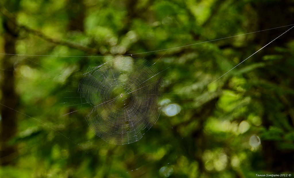
Spider Web

Going To Wait It Out

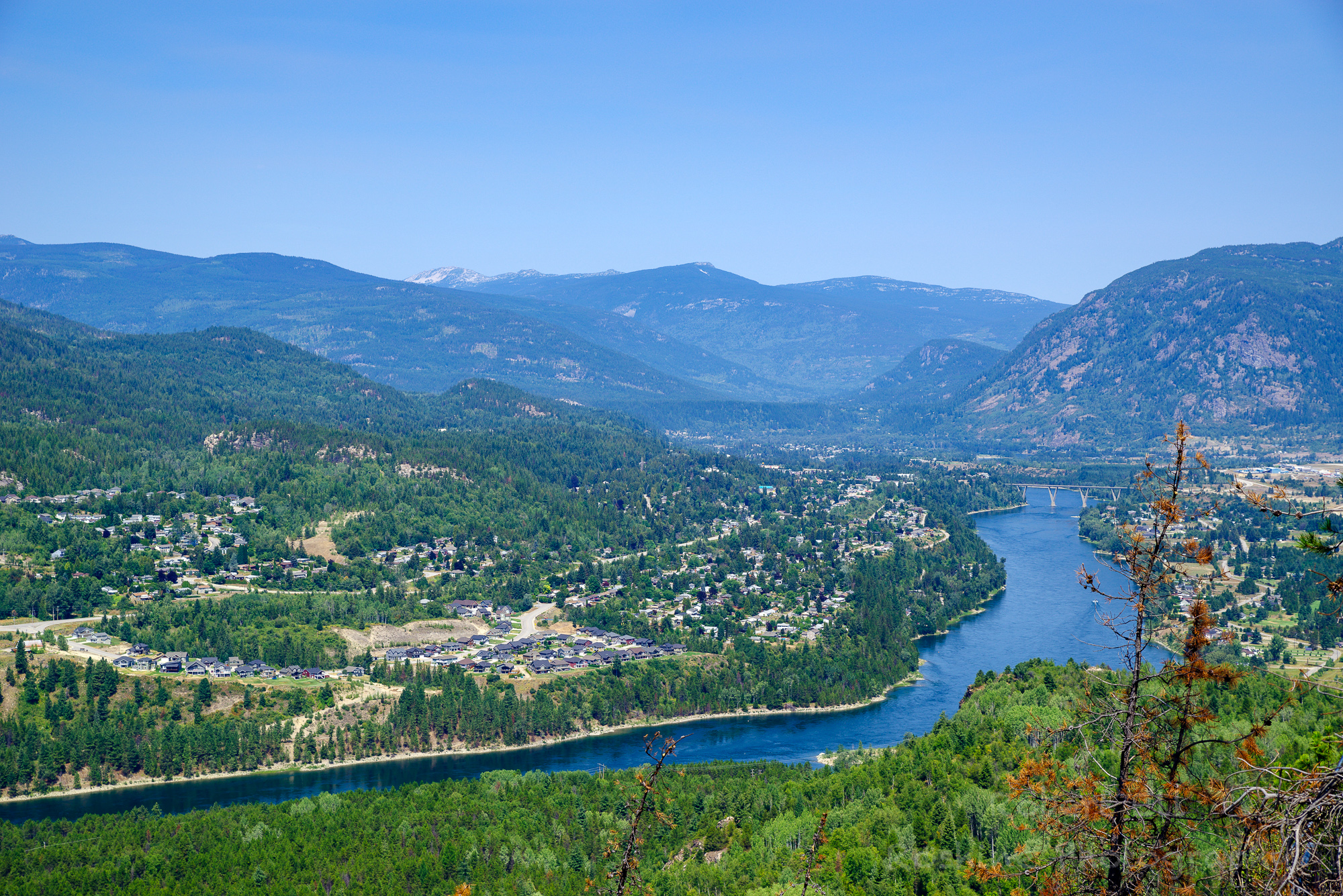
Castlegar 9-Shot Pano
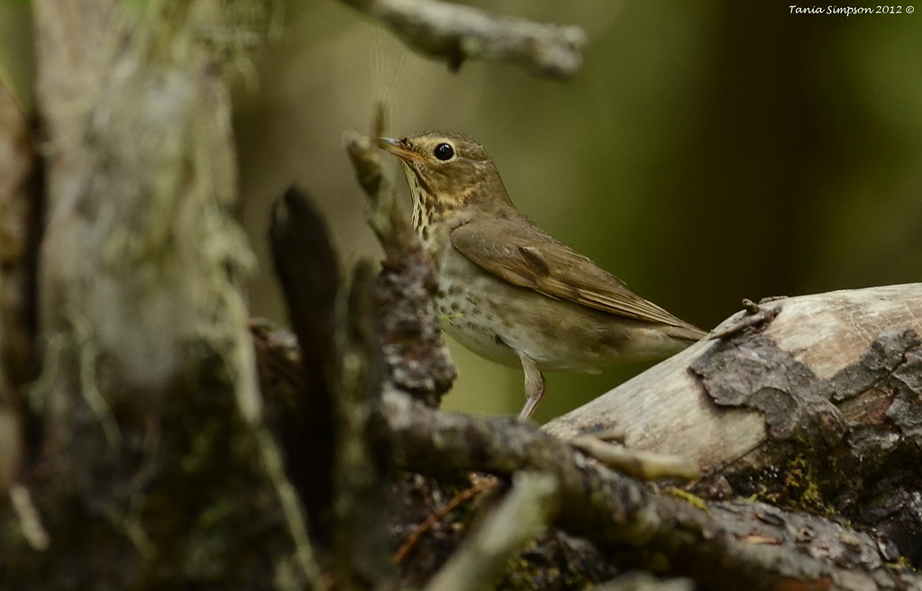
Hermit Thrush (Catharus guttatus)
ROSH5471-Edit.jpg

Third Champion Lake

June Sunset Castlegar
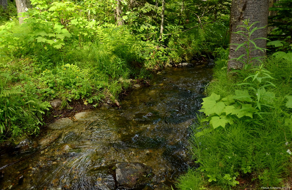
Champion Lakes Creek
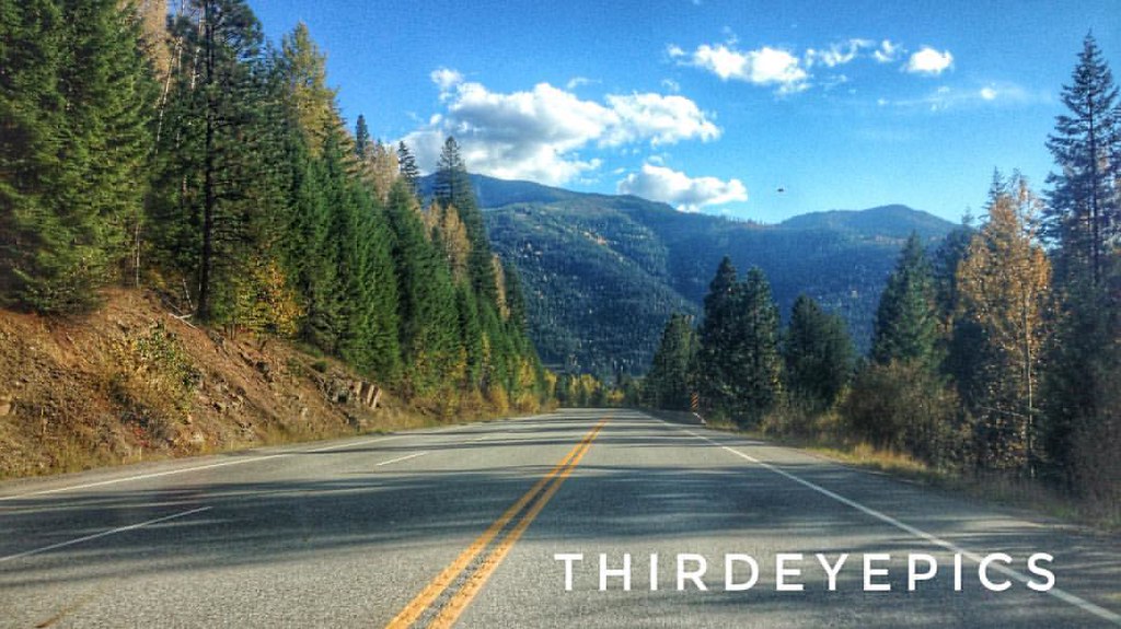
Road Trip to Nelson-11

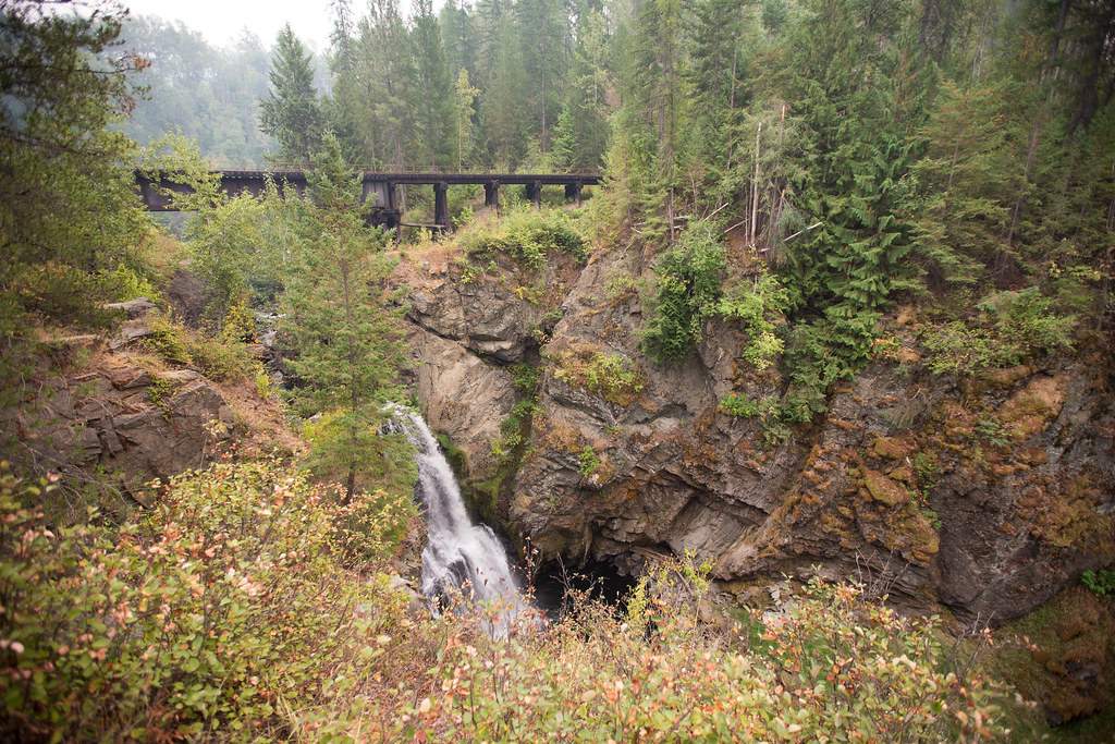
Flying Under the Radar

Part of the John & Ivy Mitchell Nature Preserve
Mountain Ride Spent the day riding through the mountains. The beauty my eyes saw today, only a minuscule captured on camera. #droneacrosscanada #droneacrosscanadatour #pocket_canada #pocket_family #icu_canada #travelcanada #traveltheworld #explorecanada
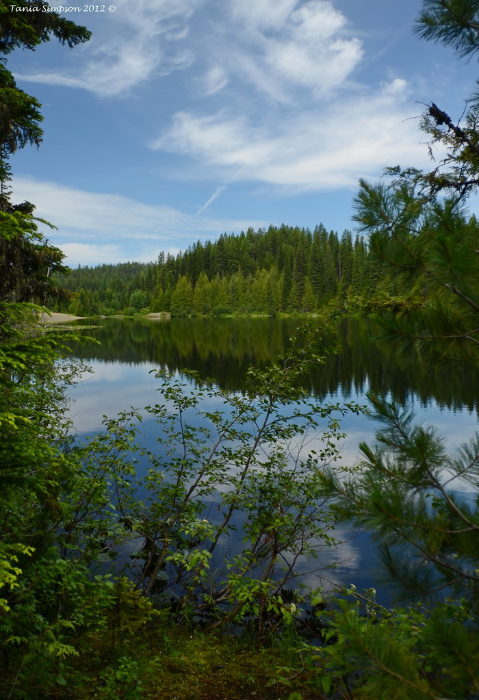
Third Champion Lake
Topographic Map of Ross Spur Rd, Fruitvale, BC V0G 1L1, Canada
Find elevation by address:

Places near Ross Spur Rd, Fruitvale, BC V0G 1L1, Canada:
Ross Spur Road
Johnson Road
Ross Spur
Park Siding
2175 Caughlin Rd
1922 Meadowlark Dr
Mountain St, Fruitvale, BC V0G 1L1, Canada
Fruitvale
1807 Columbia Gardens Rd
1691 1 St
1643 Mountain St
1550 Bc-3b
Mcleod Road
Montrose
Kootenay Boundary A
290 8th Ave
4226 Casino Rd
4220 Casino Rd
530 13 Ave
Genelle
Recent Searches:
- Elevation of 7 Waterfall Way, Tomball, TX, USA
- Elevation of SW 57th Ave, Portland, OR, USA
- Elevation of Crocker Dr, Vacaville, CA, USA
- Elevation of Pu Ngaol Community Meeting Hall, HWHM+3X7, Krong Saen Monourom, Cambodia
- Elevation of Royal Ontario Museum, Queens Park, Toronto, ON M5S 2C6, Canada
- Elevation of Groblershoop, South Africa
- Elevation of Power Generation Enterprises | Industrial Diesel Generators, Oak Ave, Canyon Country, CA, USA
- Elevation of Chesaw Rd, Oroville, WA, USA
- Elevation of N, Mt Pleasant, UT, USA
- Elevation of 6 Rue Jules Ferry, Beausoleil, France