Elevation map of Roshtqala, Tajikistan
Location: Tajikistan > Gorno-badakhshan Autonomous Province >
Longitude: 72.236379
Latitude: 37.2125857
Elevation: 3554m / 11660feet
Barometric Pressure: 65KPa
Elevation Map:
Satellite Map:
Related Photos:
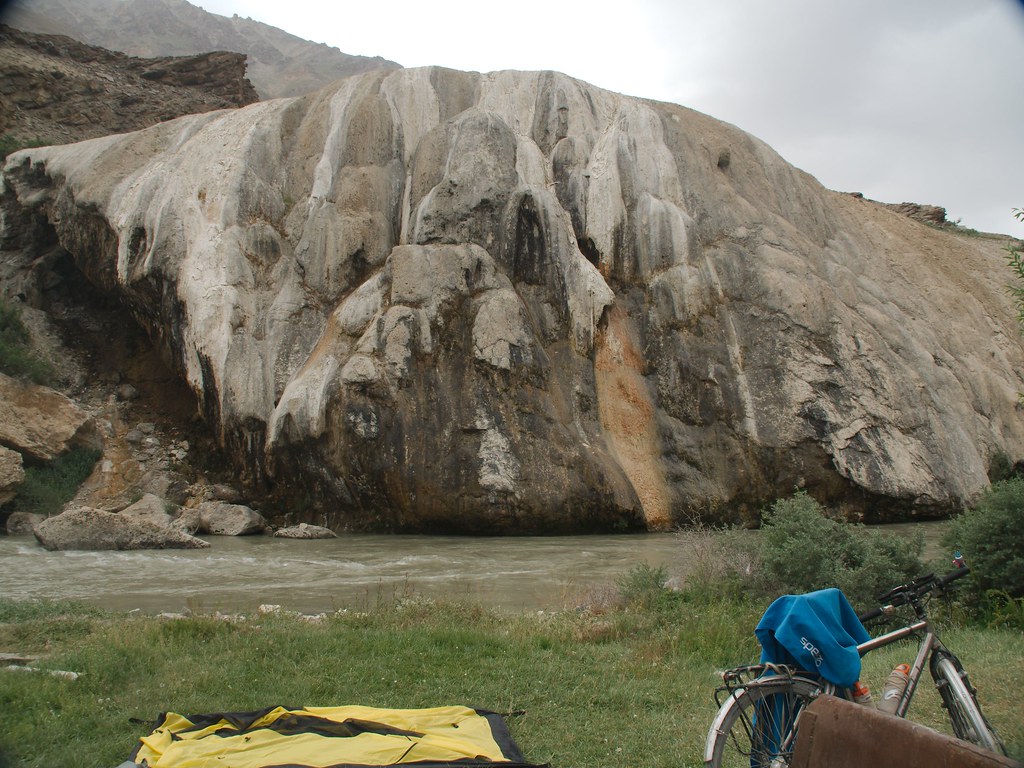
WiRa-2014-07-31-E-M5-P7310071
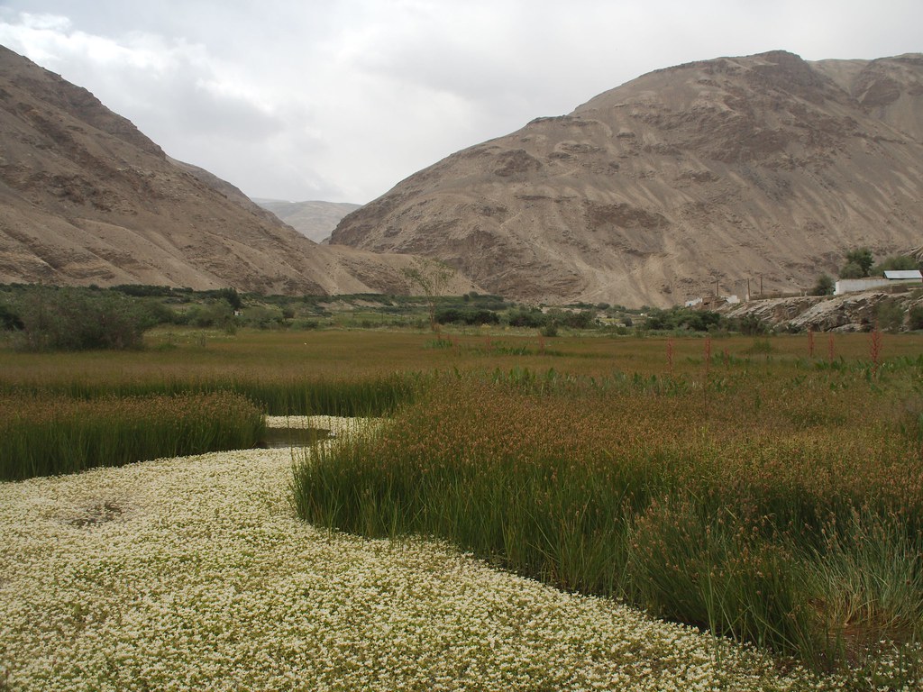
WiRa-2014-07-31-E-M5-P7310082
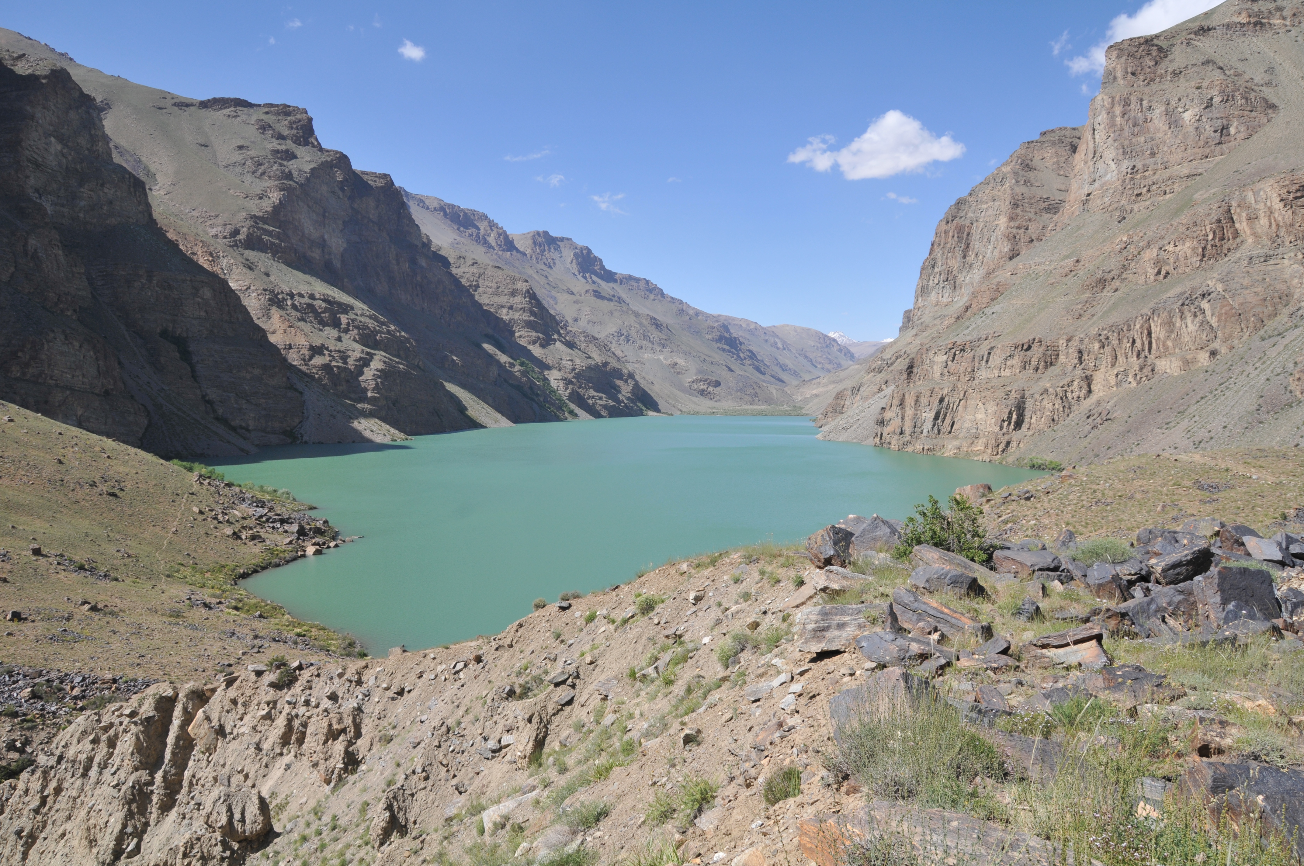
Route de la Soie 2009-08-07 14h59 Vallée de Chokh-Dara - Durum-Kul

WiRa-2014-07-31-E-M5-P7310075
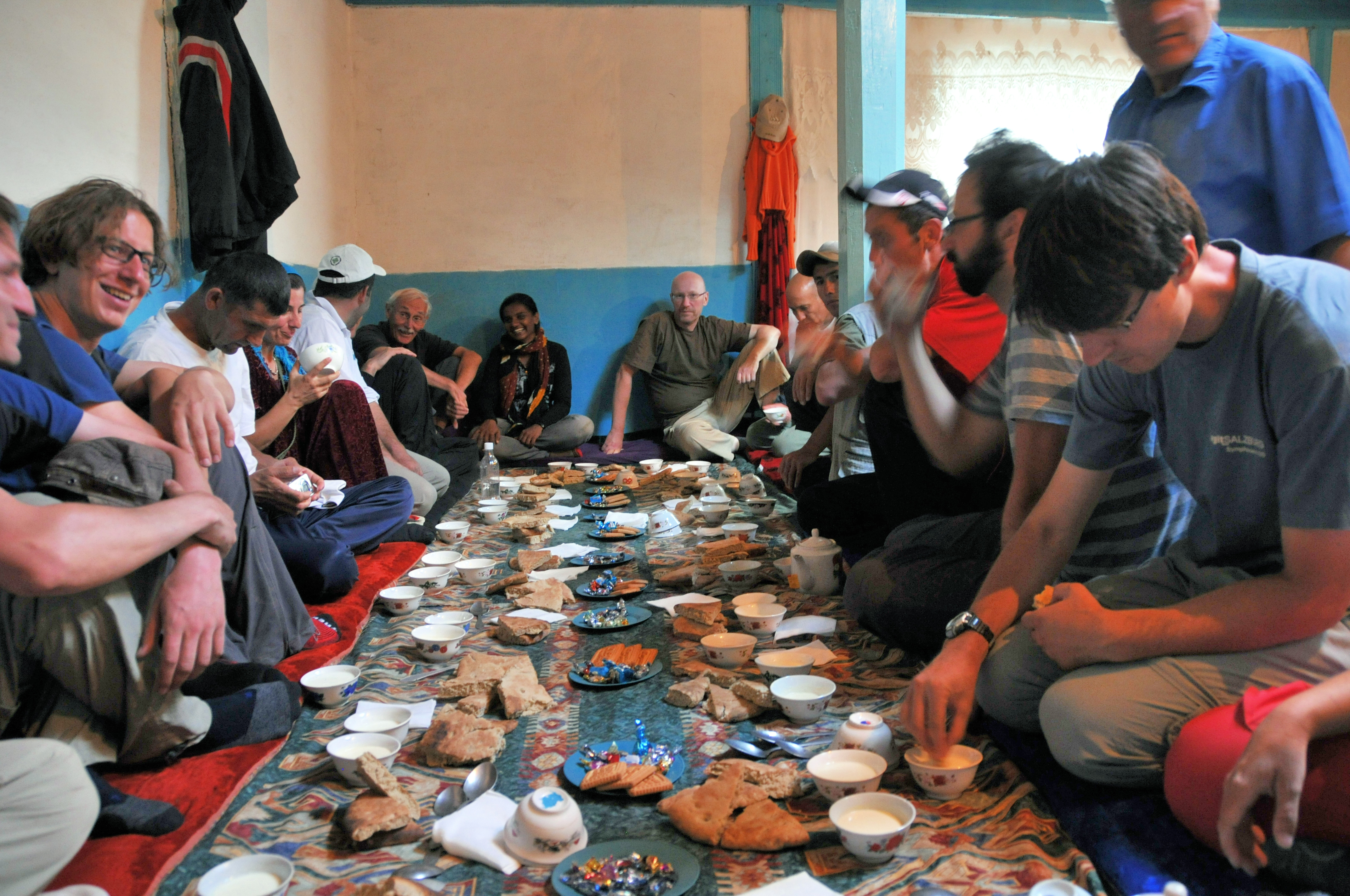
Route de la Soie 2009-08-07 17h17 Vallée de Chokh-Dara - Durum-Kul
Topographic Map of Roshtqala, Tajikistan
Find elevation by address:

Places in Roshtqala, Tajikistan:
Places near Roshtqala, Tajikistan:
Yamchun Fort
Pik Karla Marksa
Ishkoshim
Wakhan
Pamir River
Shughnon
Langar
Langar
Gora Bakchigir
Pik Patkhor
Bulunkul
Recent Searches:
- Elevation of Corso Fratelli Cairoli, 35, Macerata MC, Italy
- Elevation of Tallevast Rd, Sarasota, FL, USA
- Elevation of 4th St E, Sonoma, CA, USA
- Elevation of Black Hollow Rd, Pennsdale, PA, USA
- Elevation of Oakland Ave, Williamsport, PA, USA
- Elevation of Pedrógão Grande, Portugal
- Elevation of Klee Dr, Martinsburg, WV, USA
- Elevation of Via Roma, Pieranica CR, Italy
- Elevation of Tavkvetili Mountain, Georgia
- Elevation of Hartfords Bluff Cir, Mt Pleasant, SC, USA