Elevation of Rood Pond Rd, Williamstown, VT, USA
Location: United States > Vermont > Orange County > Williamstown >
Longitude: -72.567429
Latitude: 44.0973141
Elevation: -10000m / -32808feet
Barometric Pressure: 295KPa
Elevation Map:
Satellite Map:
Related Photos:

Slaughter House Covered Bridge

Socialist Labor Party Hall (1900) – southwest view

Socialist Labor Party Hall (1900) – northeast view

Eastern Panorama
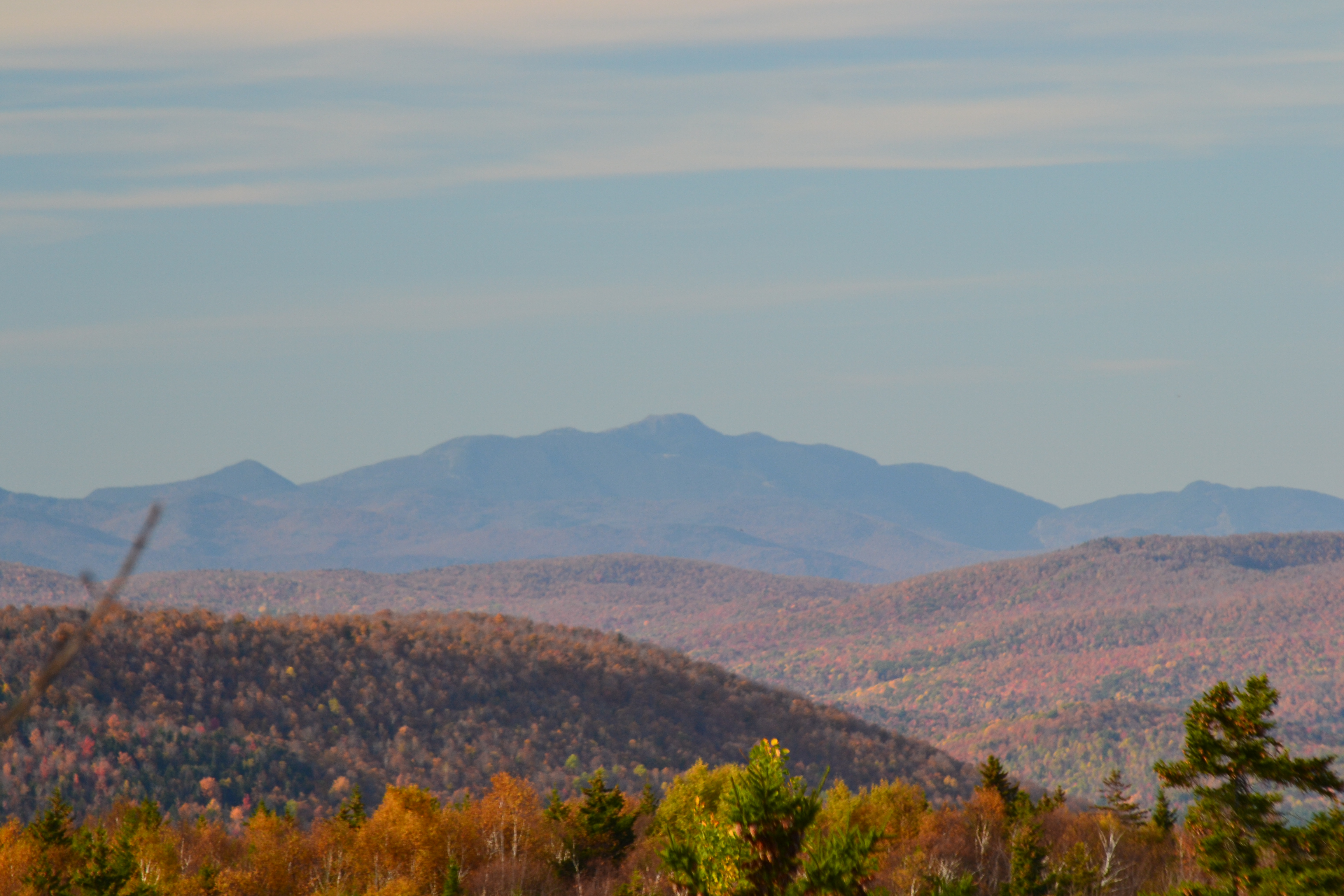
Mt Mansfield

Dairy Farm

White Mountains

SW Panorama

Spruce Mountain
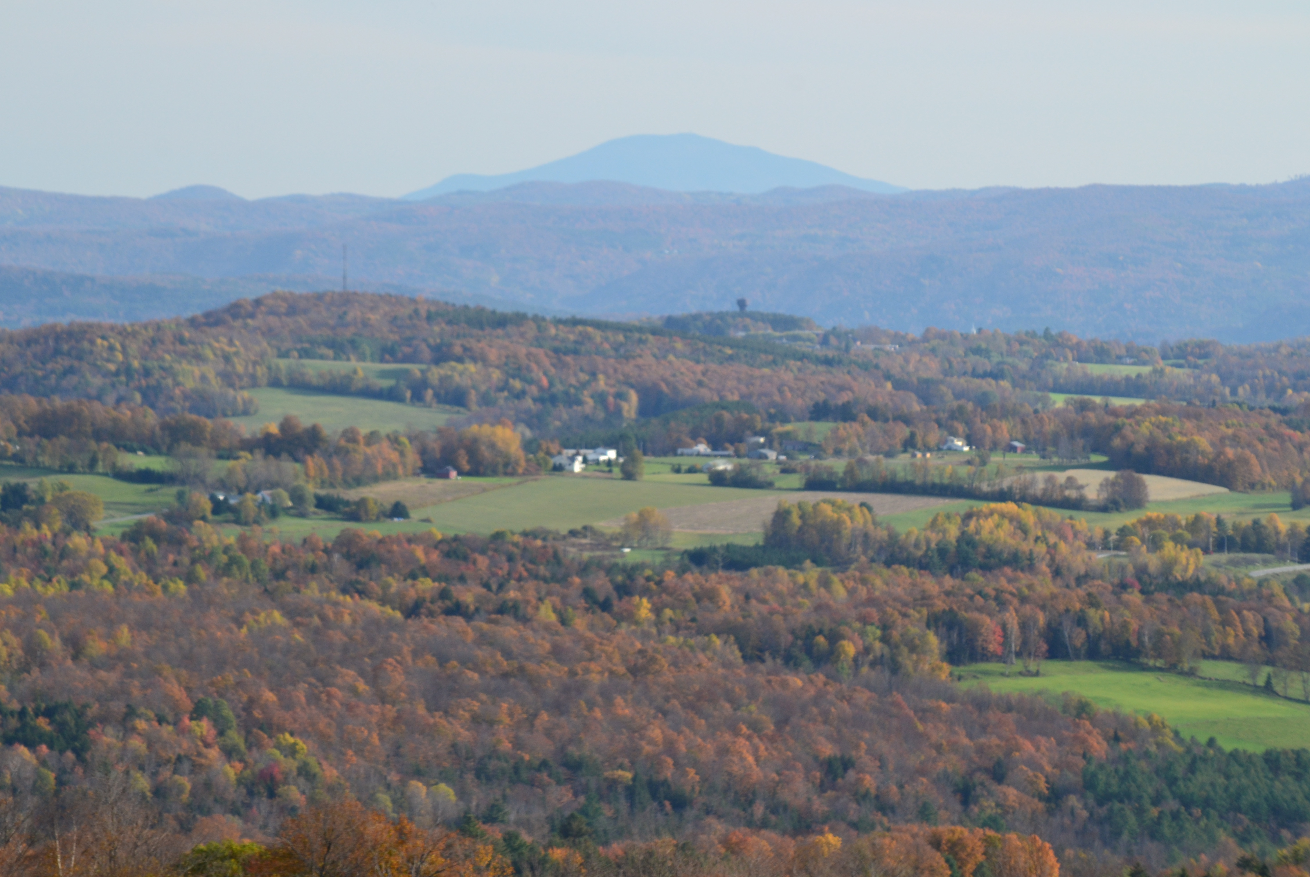
Mt Ascutney

new england trip133

Vermont History Center

Allis SP Tower
Vermont Reflection

Morning sun rise view

View from the train

Morning sun rise view

Morning sun rise view

Hazy View To Randolph Center

Front View

vtloungejasejessemarg.JPG

Too Early

On a calmer day

Cox Brook - Northfield Falls, Vermont

red barn from the floating bridge

Northfield Falls Covered Bridge

Falls Bridge 1

1872 Dog River Covered Bridge

The Bit of Vermont We Got To See

Camels Hump Sunset

The Bit of Vermont We Got To See

E. L. Smith Granite Quarry

That one red tree though. #vt #vermont #vermonting #vermontlife #vermontbyvermonters #802 #foliage #fall #autumn

Stony Creek

Marsh Reflections

The Bit of Vermont We Got To See

Slippery Elm (Ulmus rubra) leaf
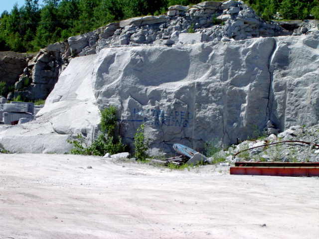
Handicapped Parking

Roxbury Falls

Slippery Elm (Ulmus rubra) leaf underside

Slippery Elm (Ulmus rubra)
Topographic Map of Rood Pond Rd, Williamstown, VT, USA
Find elevation by address:

Places near Rood Pond Rd, Williamstown, VT, USA:
362 Pleasant St
208 Maloney Rd
Stone Road
Ferno Road
1372 Ralph Rd
475 Twin Pond Rd
Lamson Pond
745 Lamson Pond Rd
60 Wilder Dr
1714 Vt-64
24 Stone Rd, Brookfield, VT, USA
Brookfield
1654 Bailey Rd
1297 Baptist St
Howe Road Extension
936 Grandview Rd
205 Washington Rd
VT-12, Northfield, VT, USA
1184 Williamstown Rd
Bear Hill Road
Recent Searches:
- Elevation of Fern Rd, Whitmore, CA, USA
- Elevation of 62 Abbey St, Marshfield, MA, USA
- Elevation of Fernwood, Bradenton, FL, USA
- Elevation of Felindre, Swansea SA5 7LU, UK
- Elevation of Leyte Industrial Development Estate, Isabel, Leyte, Philippines
- Elevation of W Granada St, Tampa, FL, USA
- Elevation of Pykes Down, Ivybridge PL21 0BY, UK
- Elevation of Jalan Senandin, Lutong, Miri, Sarawak, Malaysia
- Elevation of Bilohirs'k
- Elevation of 30 Oak Lawn Dr, Barkhamsted, CT, USA