Elevation of Rong Kwang District, Phrae, Thailand
Location: Thailand > Phrae >
Longitude: 100.394711
Latitude: 18.2857225
Elevation: -10000m / -32808feet
Barometric Pressure: 295KPa
Elevation Map:
Satellite Map:
Related Photos:

Mlabri (Yellow Leaf) Village

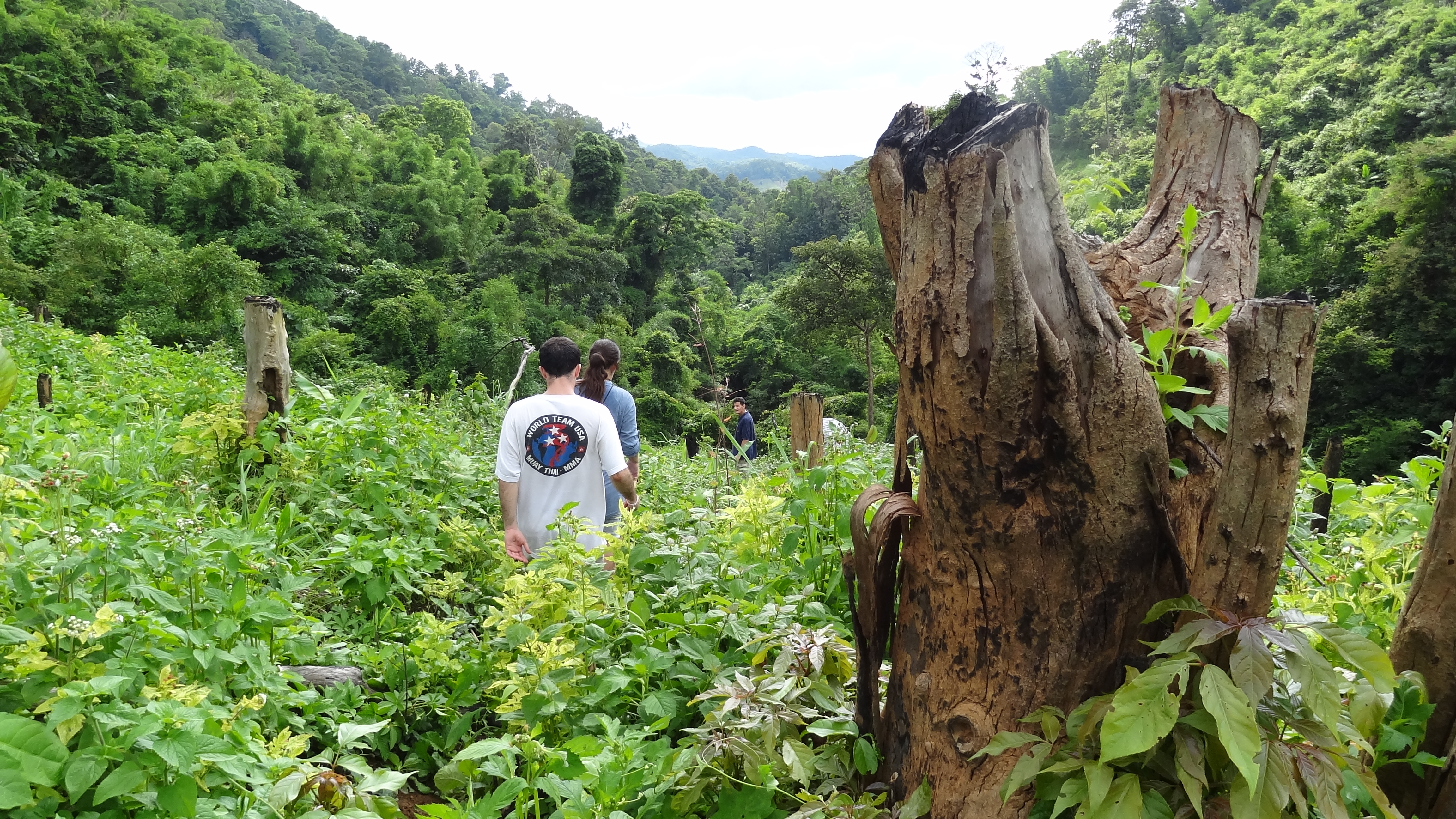
Jungle Trekking above the Mlabri (Yellow Leaf) Village

1 2 3 #vscocam

ขุนสถาน

Ethnic group Hmong girl Dow, Ban Khun Sathan,Nan,Thailand

Hmong House Village Homestay

Mlabri (Yellow Leaf) Children

Mlabri (Yellow Leaf) Children

Mlabri (Yellow Leaf) Village

Jungle Trekking above the Mlabri (Yellow Leaf) Village
Jungle Trekking above the Mlabri (Yellow Leaf) Village

Jungle Trekking above the Mlabri (Yellow Leaf) Village

Jungle Trekking above the Mlabri (Yellow Leaf) Village

Jungle Trekking above the Mlabri (Yellow Leaf) Village

Jungle Trekking above the Mlabri (Yellow Leaf) Village

Jungle Trekking above the Mlabri (Yellow Leaf) Village

Field burning above the Mlabri (Yellow Leaf) Village

Field burning above the Mlabri (Yellow Leaf) Village

Mlabri (Yellow Leaf) Village

Mlabri (Yellow Leaf) Village
Topographic Map of Rong Kwang District, Phrae, Thailand
Find elevation by address:

Places in Rong Kwang District, Phrae, Thailand:
Places near Rong Kwang District, Phrae, Thailand:
Rong Kwang
Nong Muang Khai District
Mae Mo District
Mueang Nan District
Nan
Nan
Nai Wiang
Phayao
Mueang Phayao District
Phayao
Phayao Lake
Chiang Klang District
Chiang Klang
Kon
Siam Garden - Bungalows, Camping, Organic Farm
Thung Chang
Thung Chang District
Hospital Muang Ngeun
Muang Ngeun
Recent Searches:
- Elevation of Royal Ontario Museum, Queens Park, Toronto, ON M5S 2C6, Canada
- Elevation of Groblershoop, South Africa
- Elevation of Power Generation Enterprises | Industrial Diesel Generators, Oak Ave, Canyon Country, CA, USA
- Elevation of Chesaw Rd, Oroville, WA, USA
- Elevation of N, Mt Pleasant, UT, USA
- Elevation of 6 Rue Jules Ferry, Beausoleil, France
- Elevation of Sattva Horizon, 4JC6+G9P, Vinayak Nagar, Kattigenahalli, Bengaluru, Karnataka, India
- Elevation of Great Brook Sports, Gold Star Hwy, Groton, CT, USA
- Elevation of 10 Mountain Laurels Dr, Nashua, NH, USA
- Elevation of 16 Gilboa Ln, Nashua, NH, USA