Elevation of Romney, Chatham-Kent, ON, Canada
Location: Canada > Ontario > Chatham-kent Division > Chatham-kent >
Longitude: -82.410262
Latitude: 42.1625493
Elevation: 187m / 614feet
Barometric Pressure: 99KPa
Elevation Map:
Satellite Map:
Related Photos:

The Driftwood

Wheatley Marshes

As Far As The Eye Can See

Wheatley's Wild Aster

Painted Turtle

Painted Turtle @ Hillman Marsh

The View from Here

Wheatley Provincial Park, Wheatley, Ontario
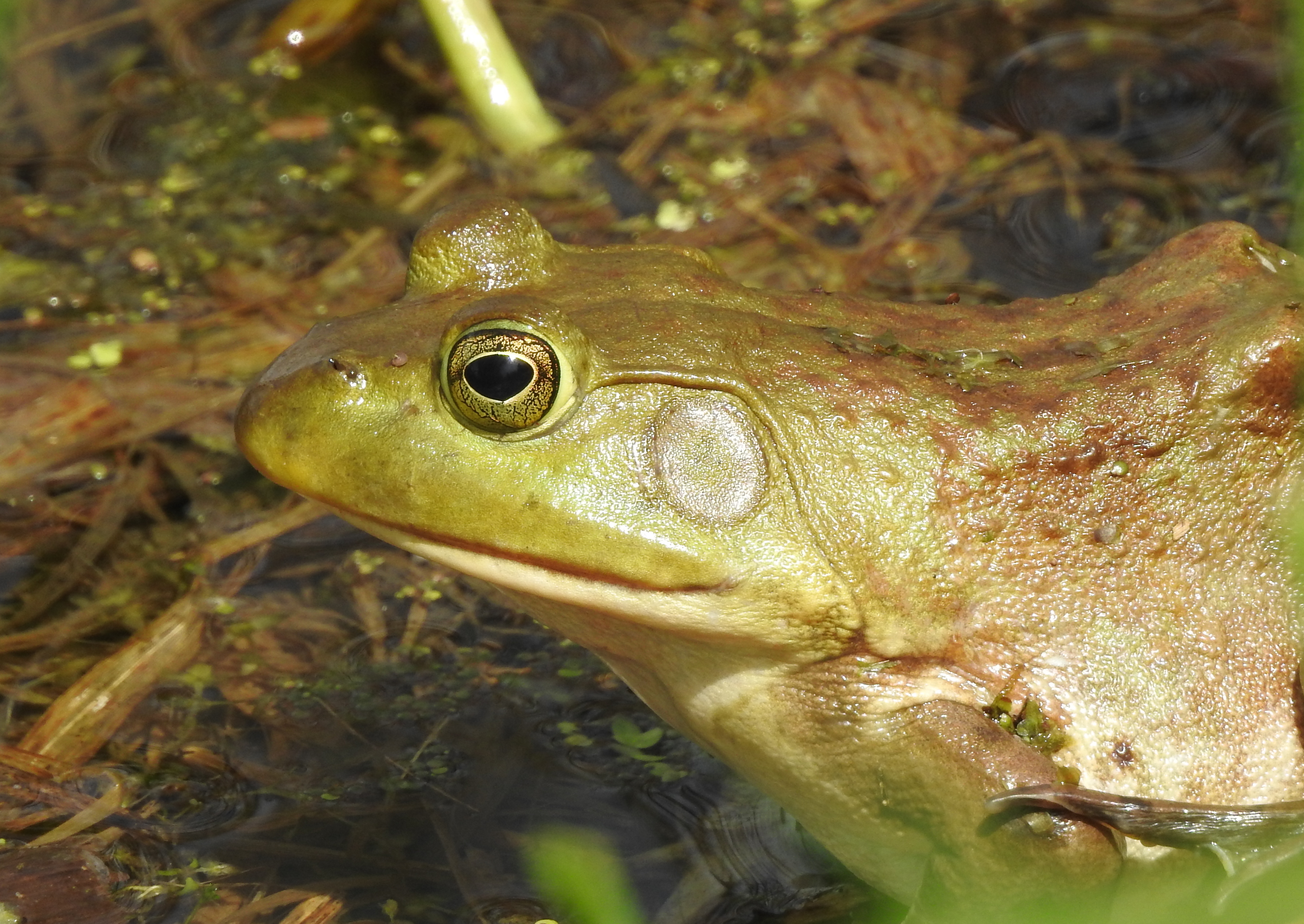
Green Frog

Get With the Flow

Swallow-tailed Kite near Port Alma

Ivory Gull, Wheatley Harbour, ON, CA

Farewell Sunrise in Leamington

Farewell Sunrise in Leamington

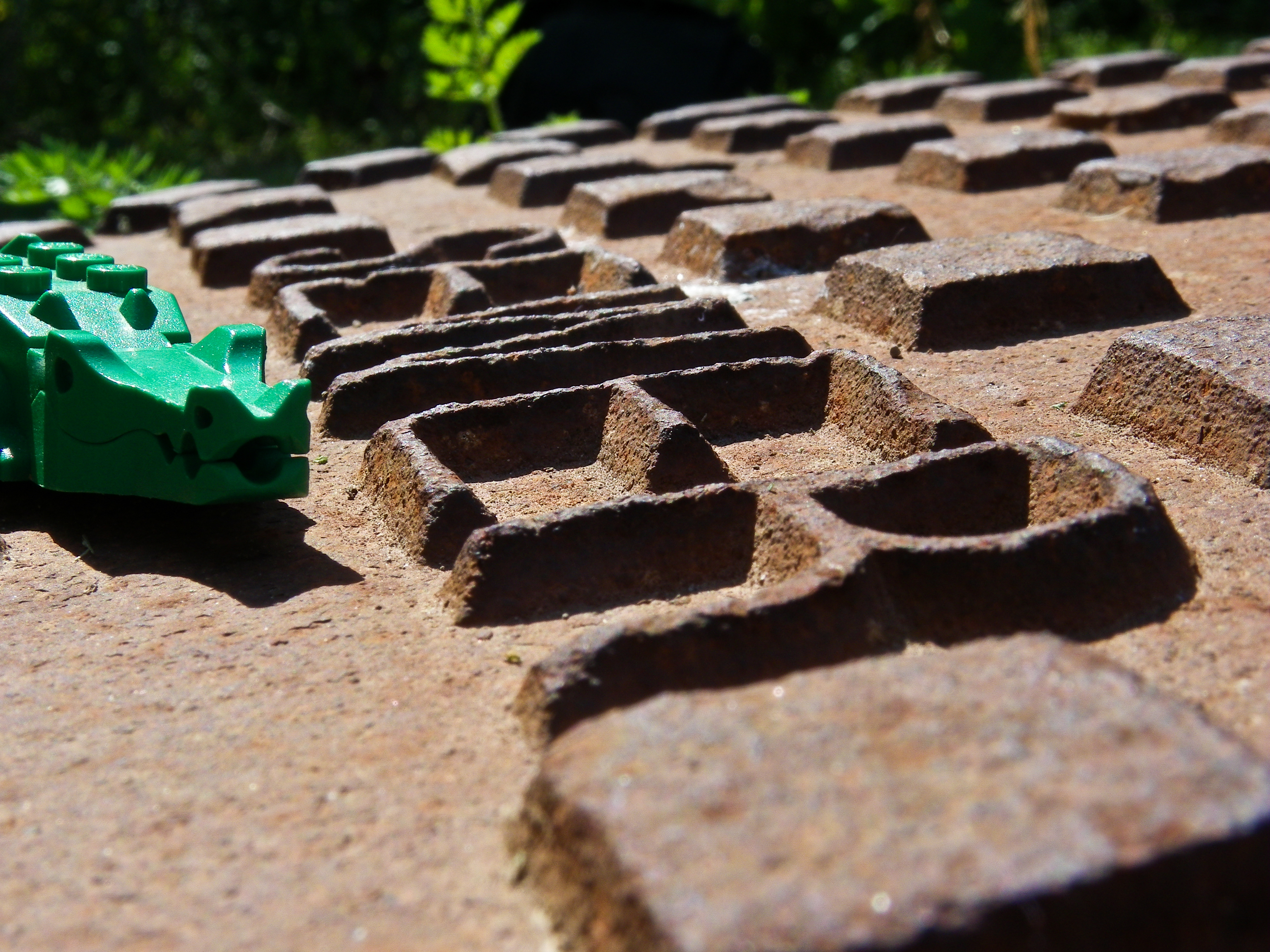
View-Master

#ds176
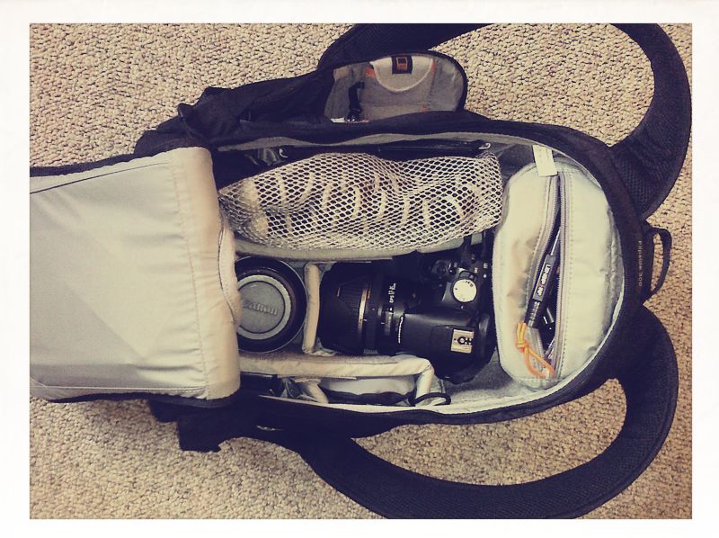
165/365 June 14 - What's in your Bag?

#ds279 - Fire Water Burn
#ds204

#ds201

Below Stairs
Getting Stacked

Nikkormat FT2

ICY INUKSHUK 012018

Canada Goose - Bernache du Canada

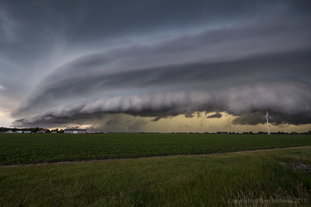
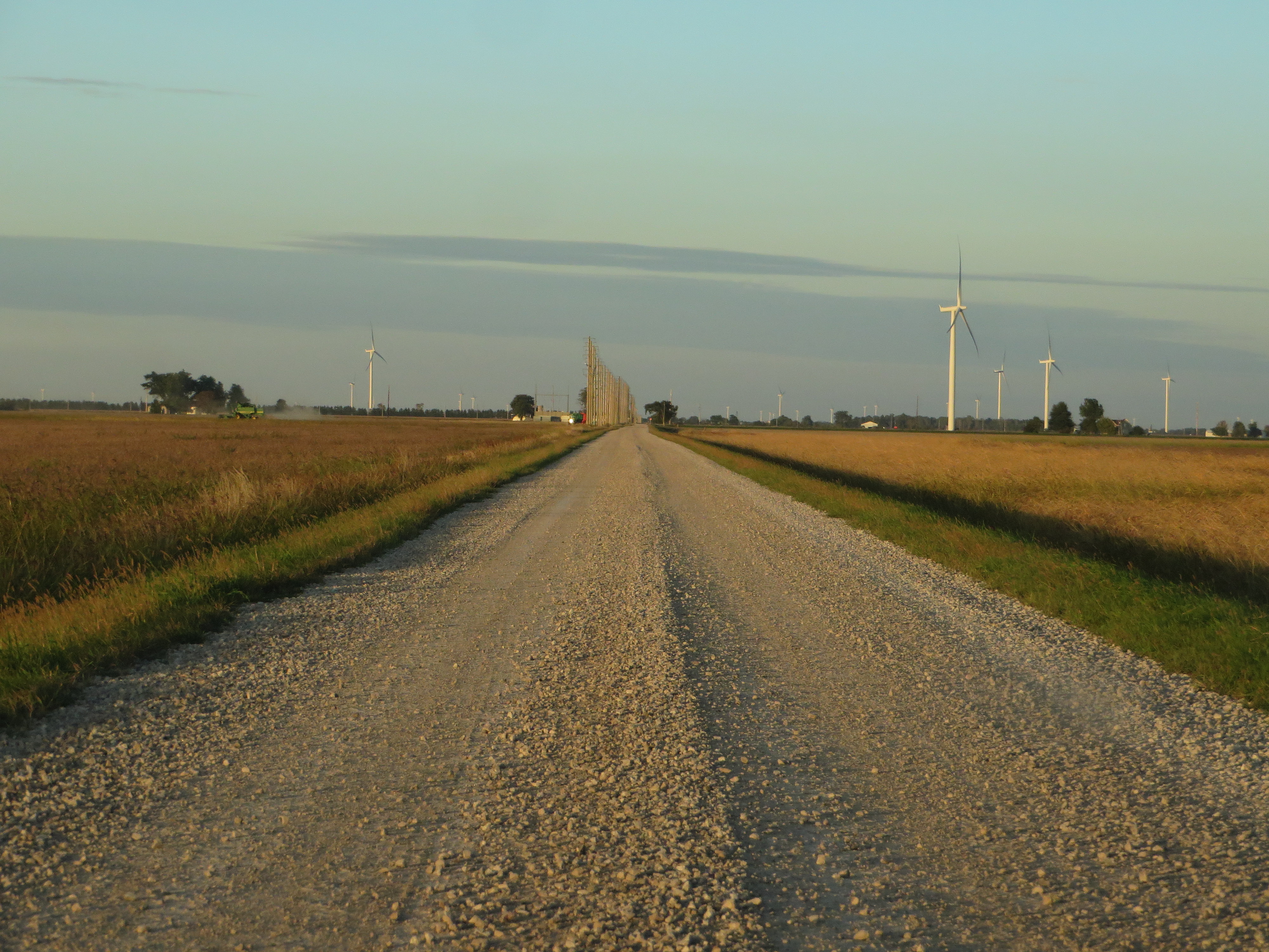
Wind Farm, Chatham-Kent Highway 3, Chatham-Kent, Ontario

Wind Farm, Chatham-Kent Highway 3, Chatham-Kent, Ontario
Beautiful Sunset in Chatham-Kent Region of Southern Ontario
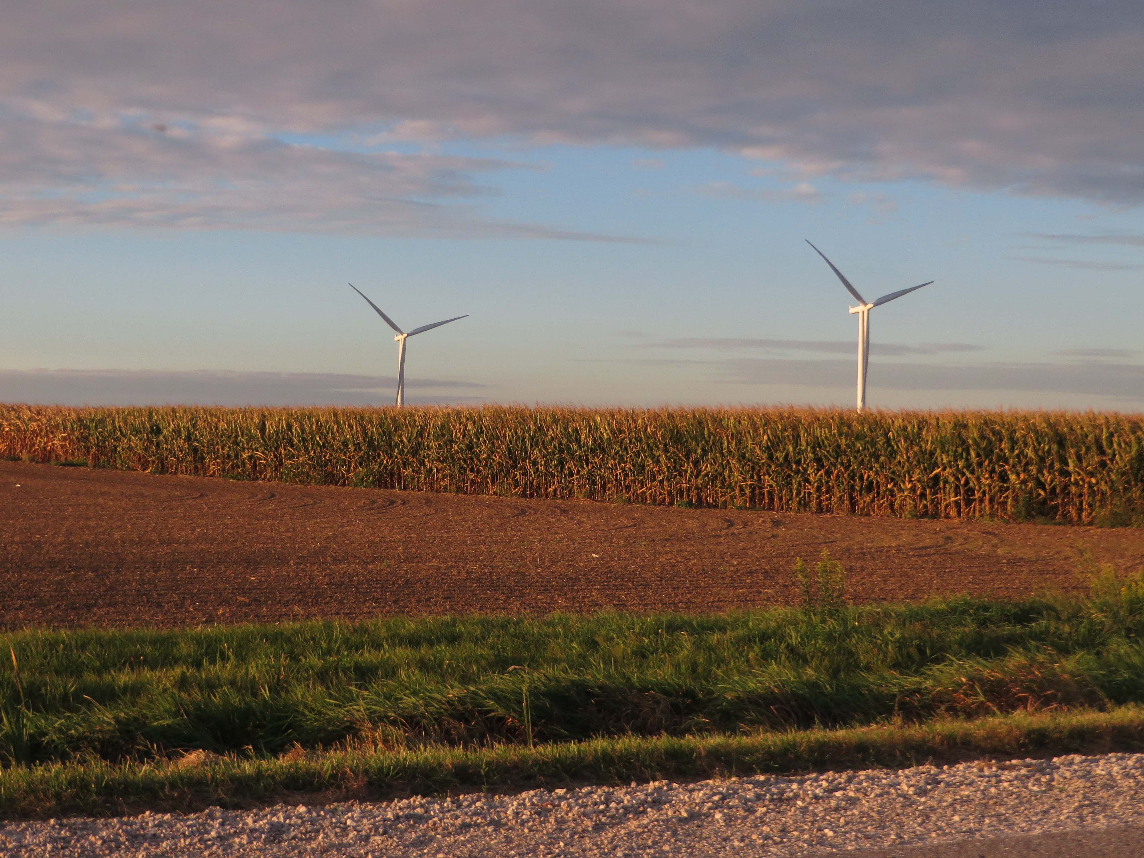
Wind Farm, Chatham-Kent, Ontario

Wind Farm, Chatham-Kent Highway 3, Chatham-Kent, Ontario
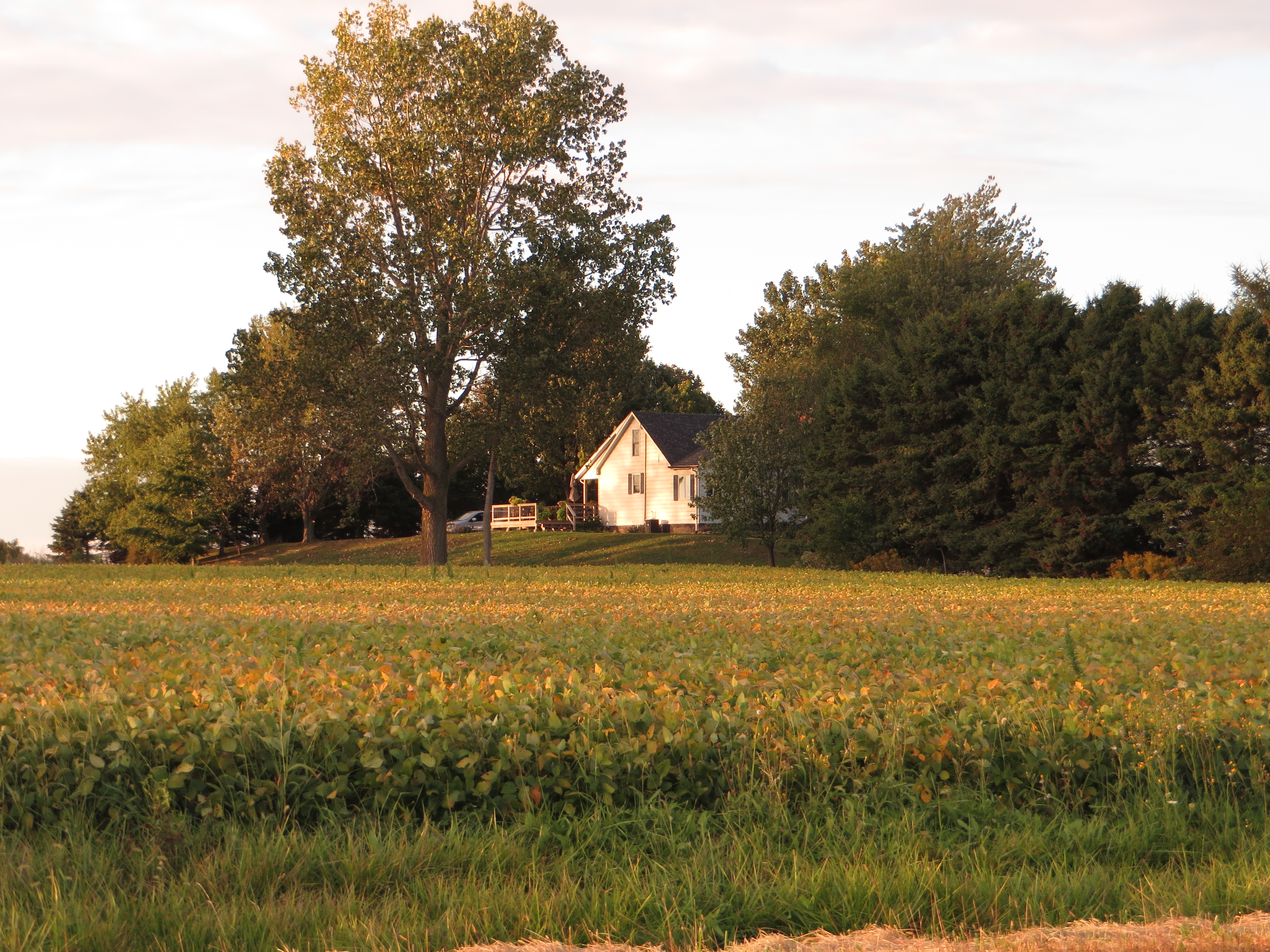
Farm, Chatham-Kent Highway 3, Chatham-Kent, Ontario

Wind Farm, Chatham-Kent Highway 3, Chatham-Kent, Ontario

Farm, Chatham-Kent, Ontario

Wind Farm, Chatham-Kent Highway 3, Chatham-Kent, Ontario

Lake Erie from Chatham-Kent Highway 3, Chatham-Kent, Ontario

Lake Erie from Chatham-Kent Highway 3, Chatham-Kent, Ontario

Wind Farm, Chatham-Kent Highway 3, Chatham-Kent, Ontario

Lake Erie from Chatham-Kent Highway 3, Chatham-Kent, Ontario

Lake Erie from Chatham-Kent Highway 3, Chatham-Kent, Ontario

Farm, Chatham-Kent Highway 3, Chatham-Kent, Ontario
Topographic Map of Romney, Chatham-Kent, ON, Canada
Find elevation by address:

Places near Romney, Chatham-Kent, ON, Canada:
Wheatley Provincial Park
Wheatley
486 Gregory Line
20963 Woodland Crescent
1826 Mersea Road C
ON-77, Staples, ON N0P 2J0, Canada
50 Victoria Ave N
N8h
Leamington
40 Queens Ave
11 Mcgaw St
35 Malibu Dr
30 Cheyenne Ct
25 Parkdale Ave
Point Pelee Drive
Road 9 E, Cottam, ON N0R 1B0, Canada
Seacliff Park
Seacliff Dr W, Leamington, ON N8H 3Y9, Canada
3077 Centennial Crescent
2091 Seacliff Dr
Recent Searches:
- Elevation of Congressional Dr, Stevensville, MD, USA
- Elevation of Bellview Rd, McLean, VA, USA
- Elevation of Stage Island Rd, Chatham, MA, USA
- Elevation of Shibuya Scramble Crossing, 21 Udagawacho, Shibuya City, Tokyo -, Japan
- Elevation of Jadagoniai, Kaunas District Municipality, Lithuania
- Elevation of Pagonija rock, Kranto 7-oji g. 8"N, Kaunas, Lithuania
- Elevation of Co Rd 87, Jamestown, CO, USA
- Elevation of Tenjo, Cundinamarca, Colombia
- Elevation of Côte-des-Neiges, Montreal, QC H4A 3J6, Canada
- Elevation of Bobcat Dr, Helena, MT, USA