Elevation of Roman Rd, Shirley, AR, USA
Location: United States > Arkansas > Van Buren County > Union Township > Shirley >
Longitude: -92.349941
Latitude: 35.5531714
Elevation: 163m / 535feet
Barometric Pressure: 99KPa
Elevation Map:
Satellite Map:
Related Photos:
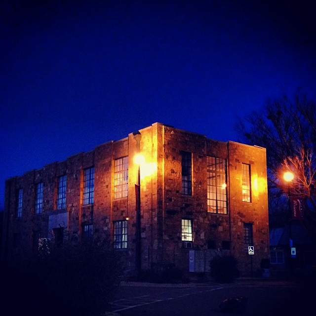
#early #morning view of the #courthouse #townsquare in #downtown #clinton #arkansas #igersarkansas
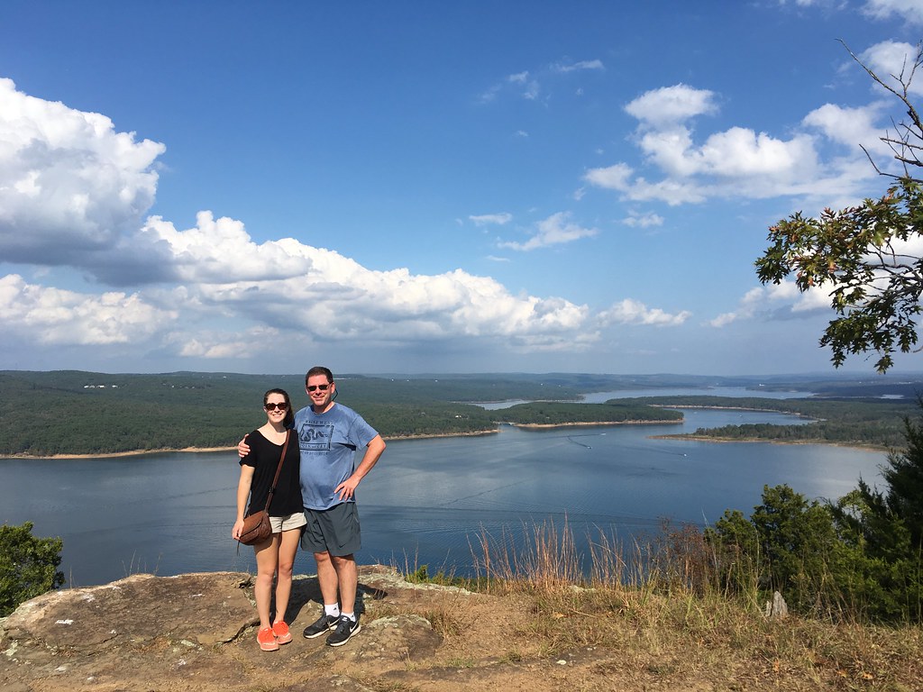
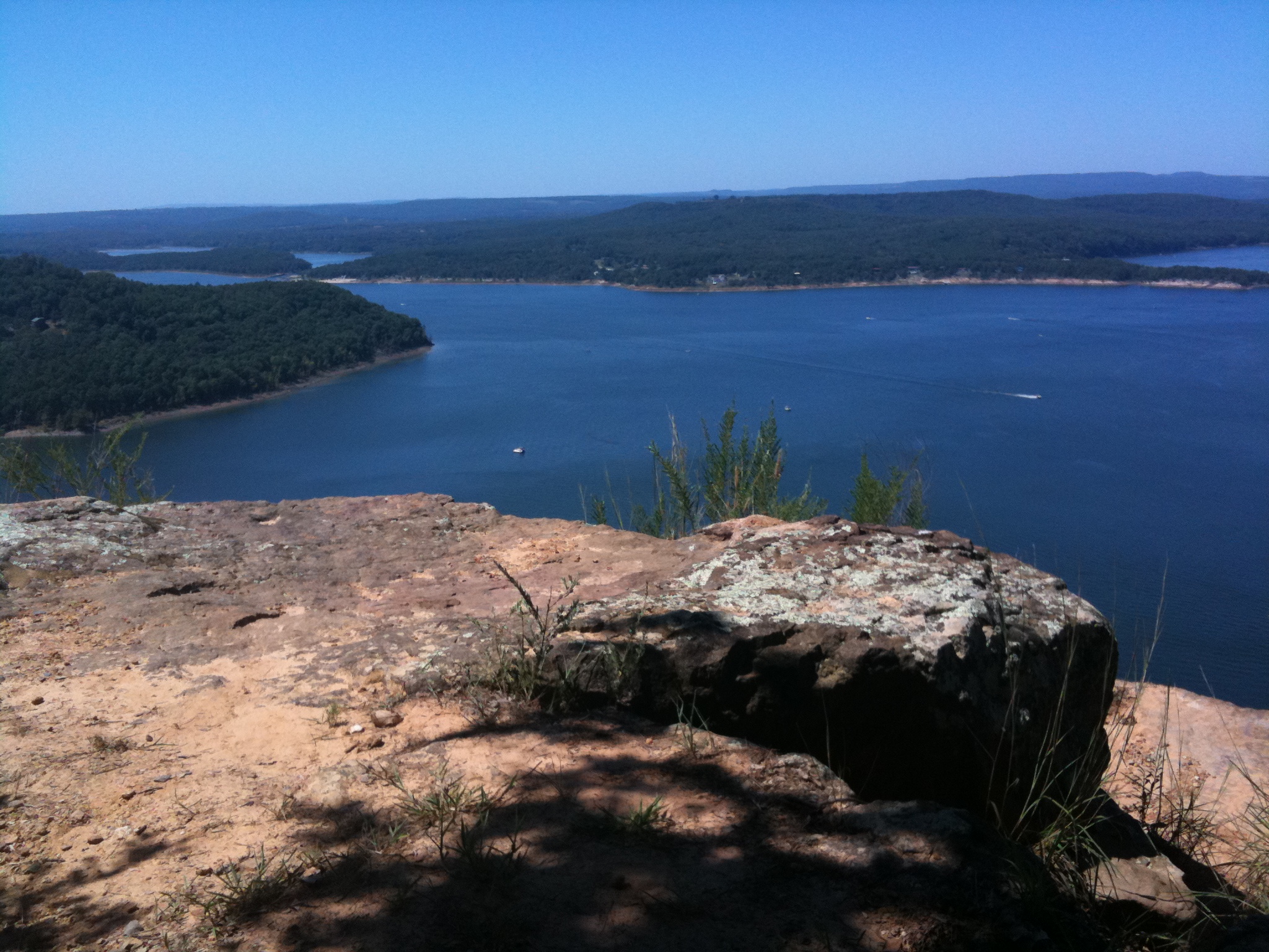
Katie and Matt, Greers Ferry Lake view eastward from Sugar Loaf Island, Arkansas
Fairfield Bay, Arkansas

Paul and view of Greers Ferry Lake east from Sugar Loaf Island, Arkansas
Fairfield Bay, Arkansas
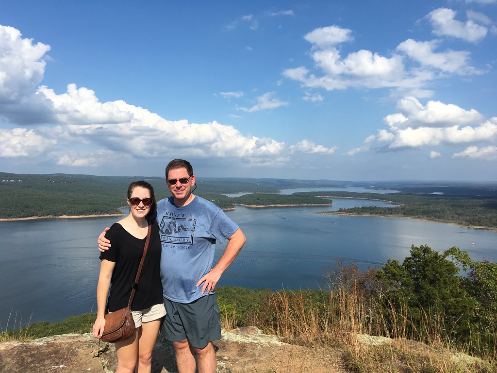
Katie and Matt, Greers Ferry Lake view eastward from Sugar Loaf Island, Arkansas
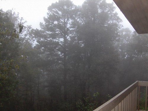
Deck View- Weaver Creek
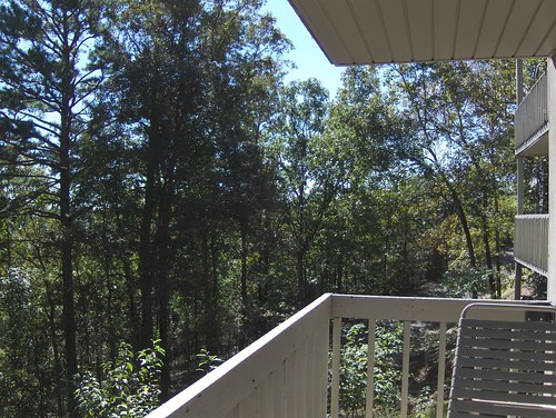
Pee Dee Creek-Side View

Herd Approaching
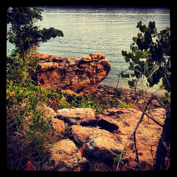
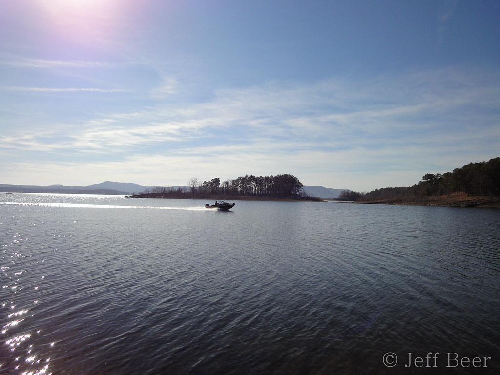
Greer's Ferry Lake Shoreline

AR Trip (34 of 72)

Arkansas Sunset
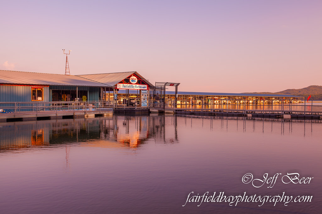
Fairfield Bay Marina
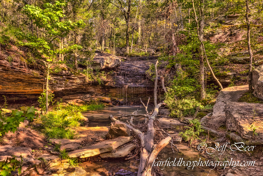
Indian Falls, Wild Horse Canyon
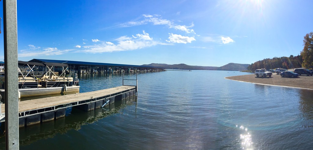
Fairfield Bay Boat Docks
This weekend we took a ferry out on the lake to an mountain/island. It was a perfect opportunity for #whpfoggy
Greers Ferry Lake Arkansas (8 of 14).jpg

Devil's Fork Sunset
Greer's Ferry Lake
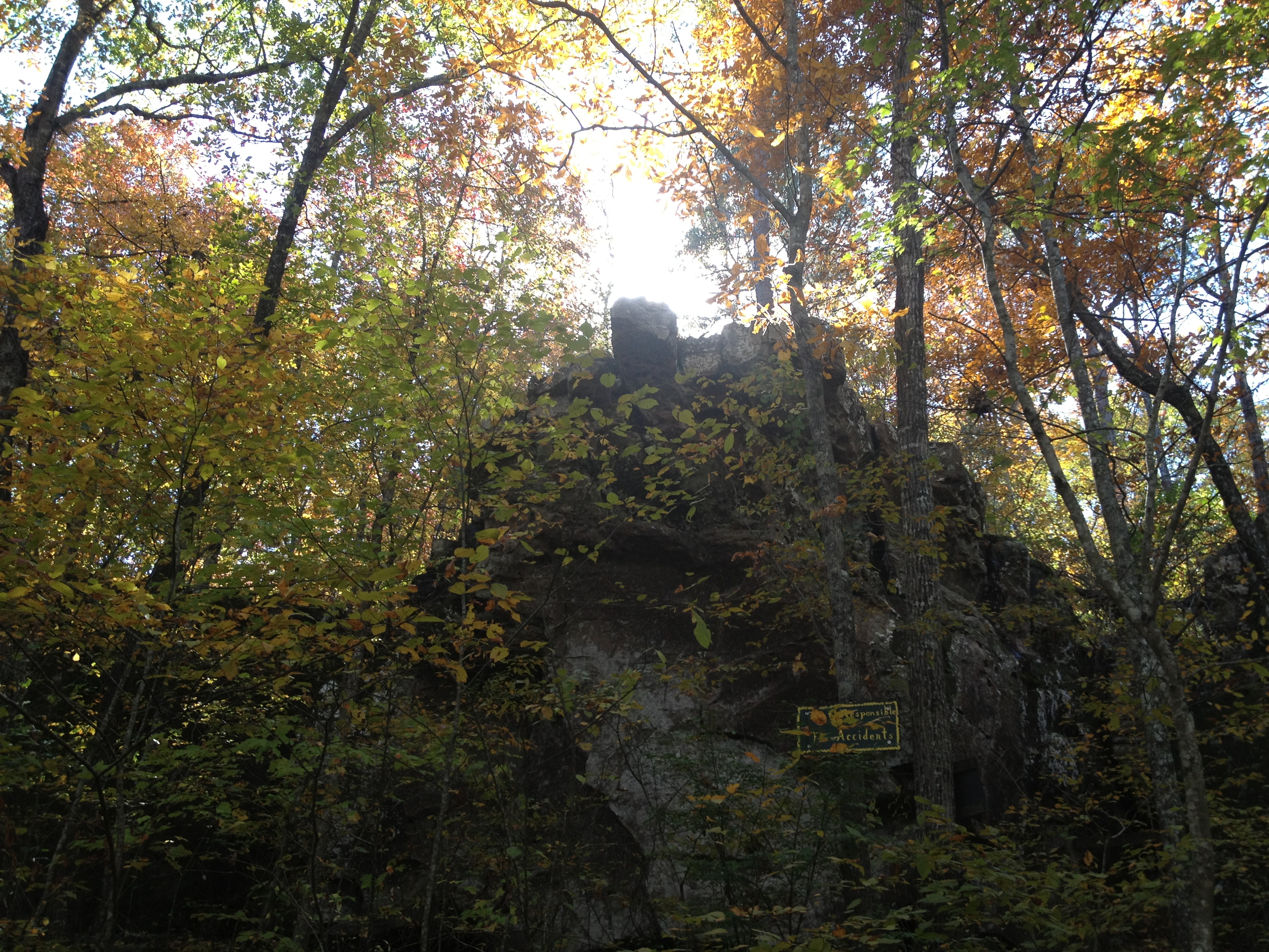
Natural Bridge
Topographic Map of Roman Rd, Shirley, AR, USA
Find elevation by address:

Places near Roman Rd, Shirley, AR, USA:
384 Ember Rd
Alum Cave Rd, Bee Branch, AR, USA
242 Water Rd
5735 Lake Dr
5735 Lake Dr
5735 Lake Dr
5735 Lake Dr
5735 Lake Dr
Red River Township
1023 Alum Cave Rd
Boulder Blvd, Shirley, AR, USA
Atoka Dr, Fairfield Bay, AR, USA
135 Ballard Ln
4277 E Mountain Rd
Gr Tree Rd, Bee Branch, AR, USA
Ar Hwy S, Shirley, AR, USA
Davis Township
Choctaw Township
Unnamed Road
127 Cedar Valley Rd
Recent Searches:
- Elevation of Congressional Dr, Stevensville, MD, USA
- Elevation of Bellview Rd, McLean, VA, USA
- Elevation of Stage Island Rd, Chatham, MA, USA
- Elevation of Shibuya Scramble Crossing, 21 Udagawacho, Shibuya City, Tokyo -, Japan
- Elevation of Jadagoniai, Kaunas District Municipality, Lithuania
- Elevation of Pagonija rock, Kranto 7-oji g. 8"N, Kaunas, Lithuania
- Elevation of Co Rd 87, Jamestown, CO, USA
- Elevation of Tenjo, Cundinamarca, Colombia
- Elevation of Côte-des-Neiges, Montreal, QC H4A 3J6, Canada
- Elevation of Bobcat Dr, Helena, MT, USA