Elevation of Rolleston Range, New Zealand
Location: New Zealand > Canterbury > Selwyn District >
Longitude: 171.380581
Latitude: -43.230689
Elevation: 519m / 1703feet
Barometric Pressure: 95KPa
Elevation Map:
Satellite Map:
Related Photos:
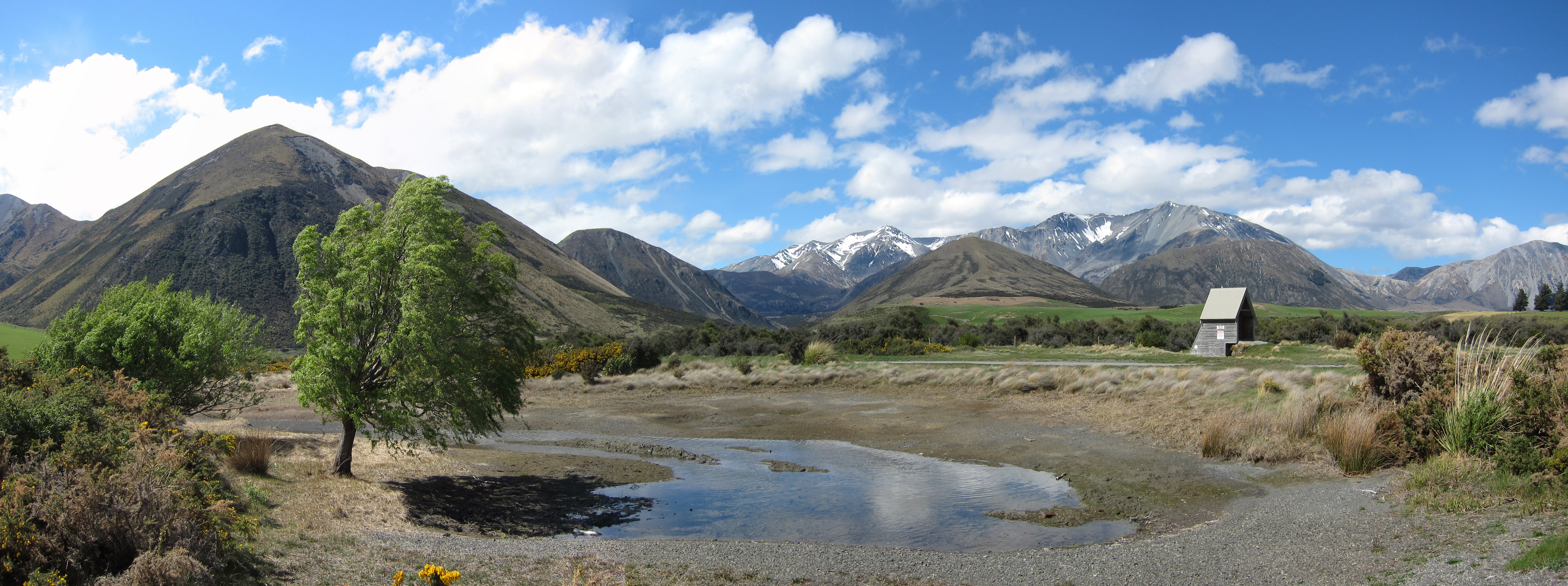
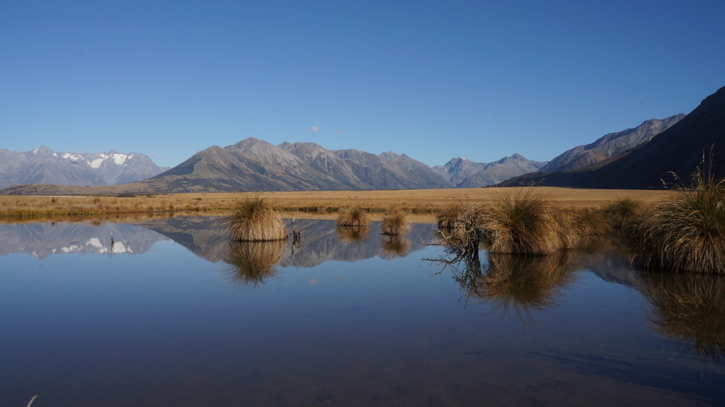
The view
IMG_2105-Edit-3
20140810_9043_EOS M-52 Henrietta Lakes
20140810 7845 - Wilberforce Diversion
All this weather in 1 day

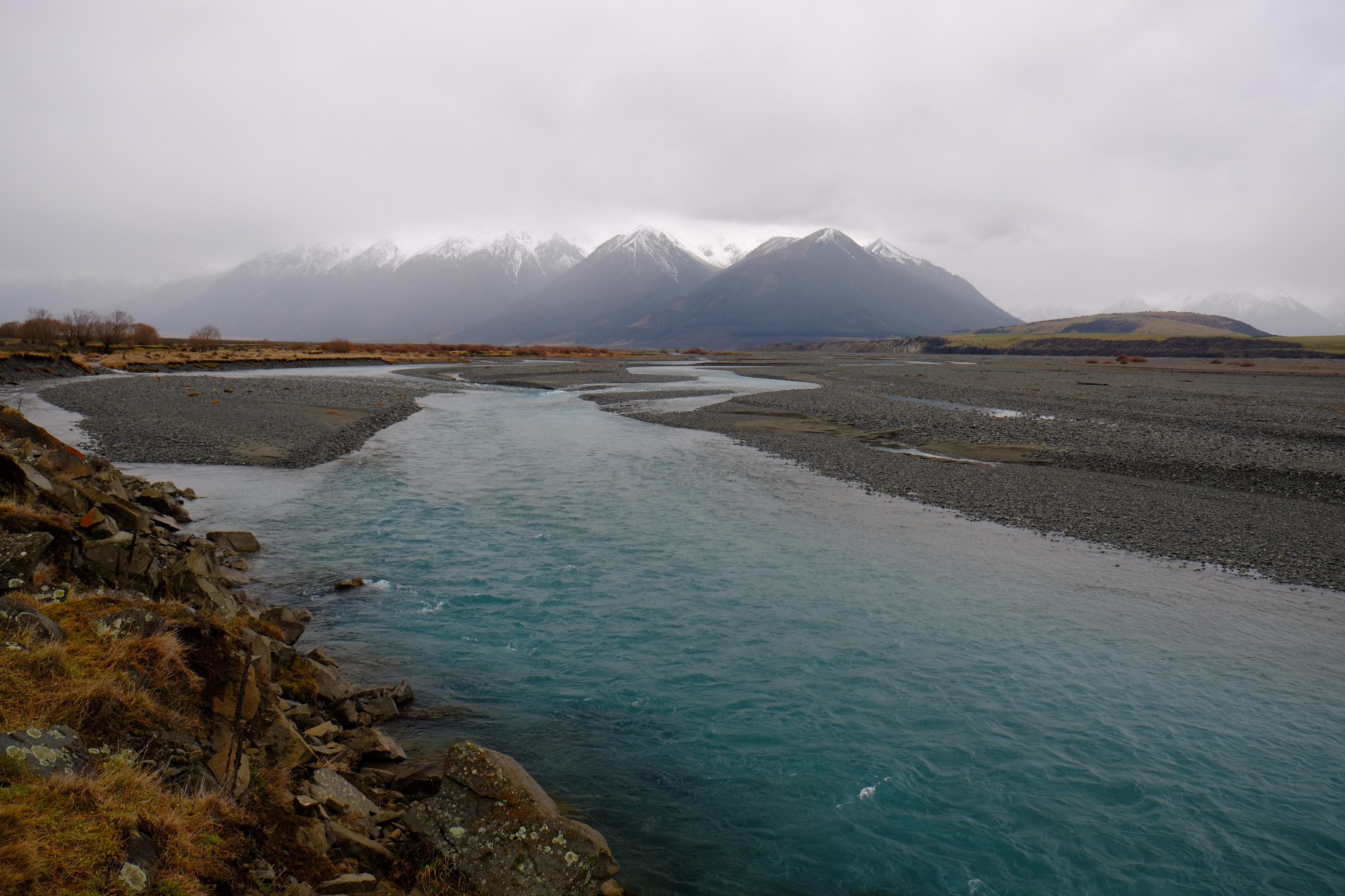
Rakaia Gorge
Ryton River
Braided river, Rakaia headwaters

Lake Coleridge

Lake Coleridge 2
into the wild

Lake Evelyn
blue skies smiling

Stand back!

NZ Heli 2012-09-13 020

Peak Hill, Lake Coleridge

NZ Heli 2012-09-12 010

Glenfalloch Station (Canterbury) - October 13

NZ Heli 2012-09-13 018
Rakaia Headwaters
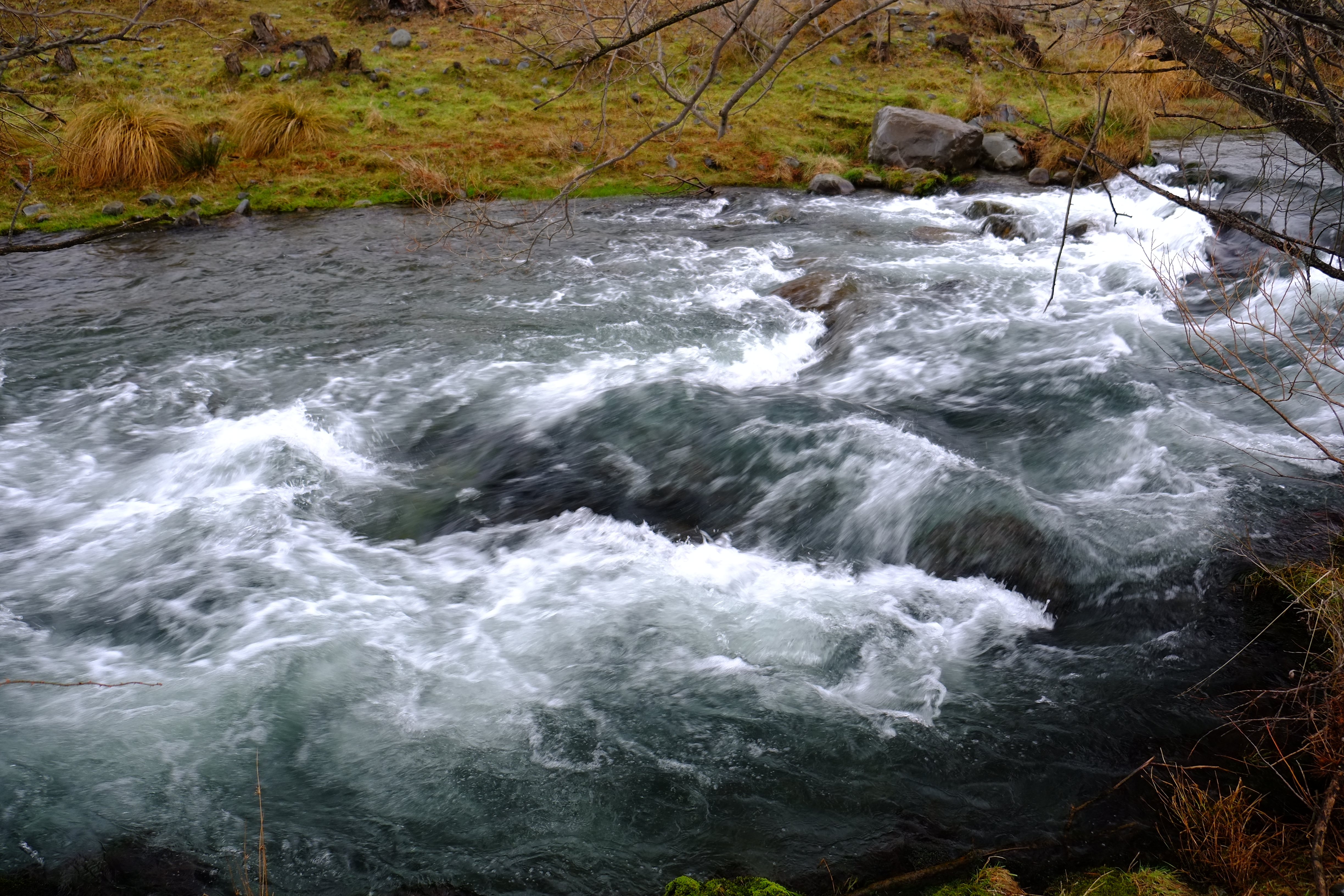
Glenariffe Stream
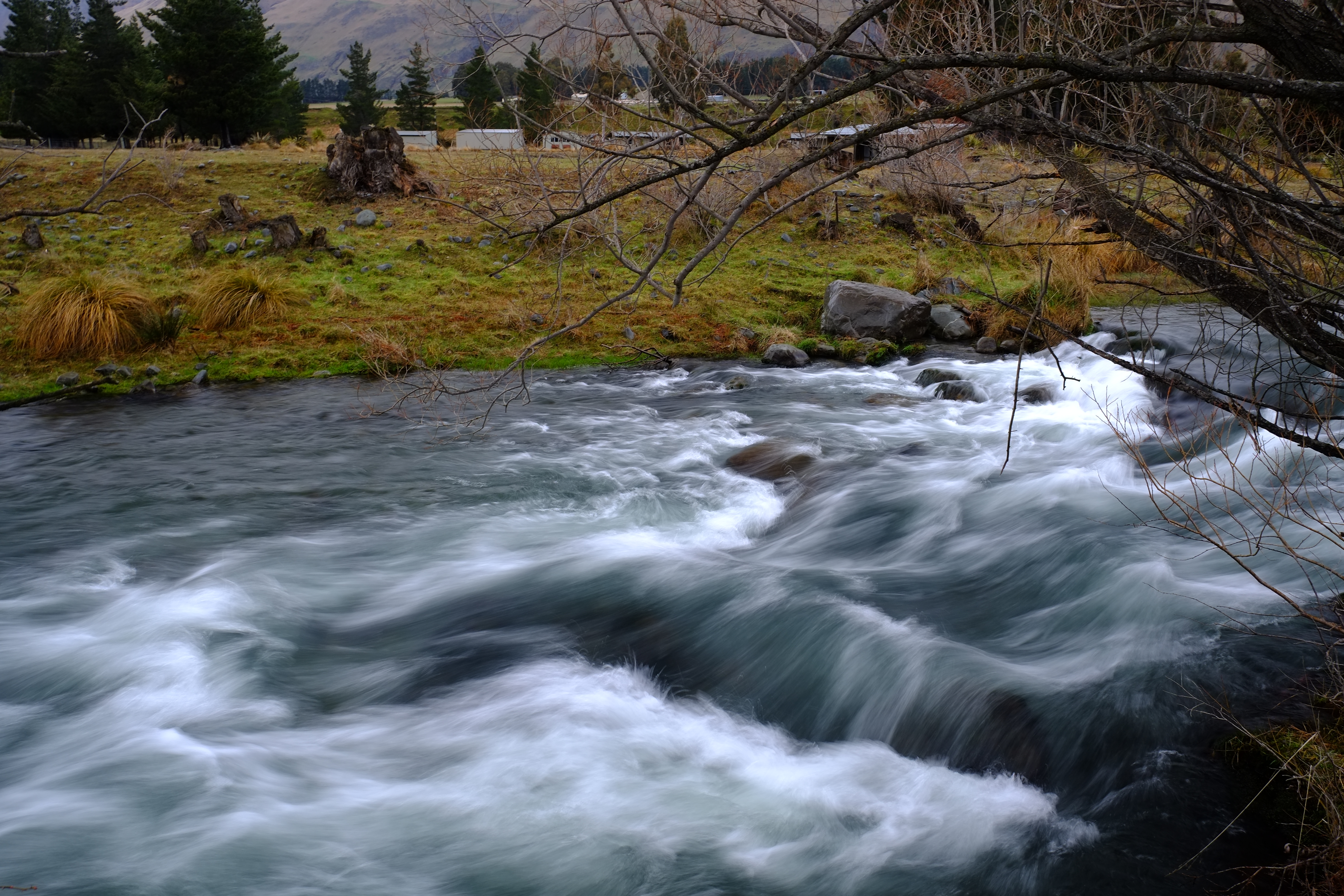
Glenariffe Stream
Topographic Map of Rolleston Range, New Zealand
Find elevation by address:

Places in Rolleston Range, New Zealand:
Places near Rolleston Range, New Zealand:
Mount Oakden
Double Hill
Blackhill Range
Lake Coleridge
Mount Williams
Mount Taylor
Arthur's Pass
Bonds Peak
Ashburton Lakes
Mount Arrowsmith
Dorothy Falls Road
Dorothy Falls
Mount Whitcombe
150 Ford Rd
Inchbonnie
Mantell Street
Kokatahi
The Warrior
Mount Sunday
946 Old Christchurch Rd
Recent Searches:
- Elevation of Corso Fratelli Cairoli, 35, Macerata MC, Italy
- Elevation of Tallevast Rd, Sarasota, FL, USA
- Elevation of 4th St E, Sonoma, CA, USA
- Elevation of Black Hollow Rd, Pennsdale, PA, USA
- Elevation of Oakland Ave, Williamsport, PA, USA
- Elevation of Pedrógão Grande, Portugal
- Elevation of Klee Dr, Martinsburg, WV, USA
- Elevation of Via Roma, Pieranica CR, Italy
- Elevation of Tavkvetili Mountain, Georgia
- Elevation of Hartfords Bluff Cir, Mt Pleasant, SC, USA