Elevation of Rolfontein Nature Reserve, Van der Kloof, South Africa
Location: South Africa > Northern Cape > Bo-karoo > Van Der Kloof >
Longitude: 24.757452
Latitude: -30.006983
Elevation: 1230m / 4035feet
Barometric Pressure: 87KPa
Elevation Map:
Satellite Map:
Related Photos:

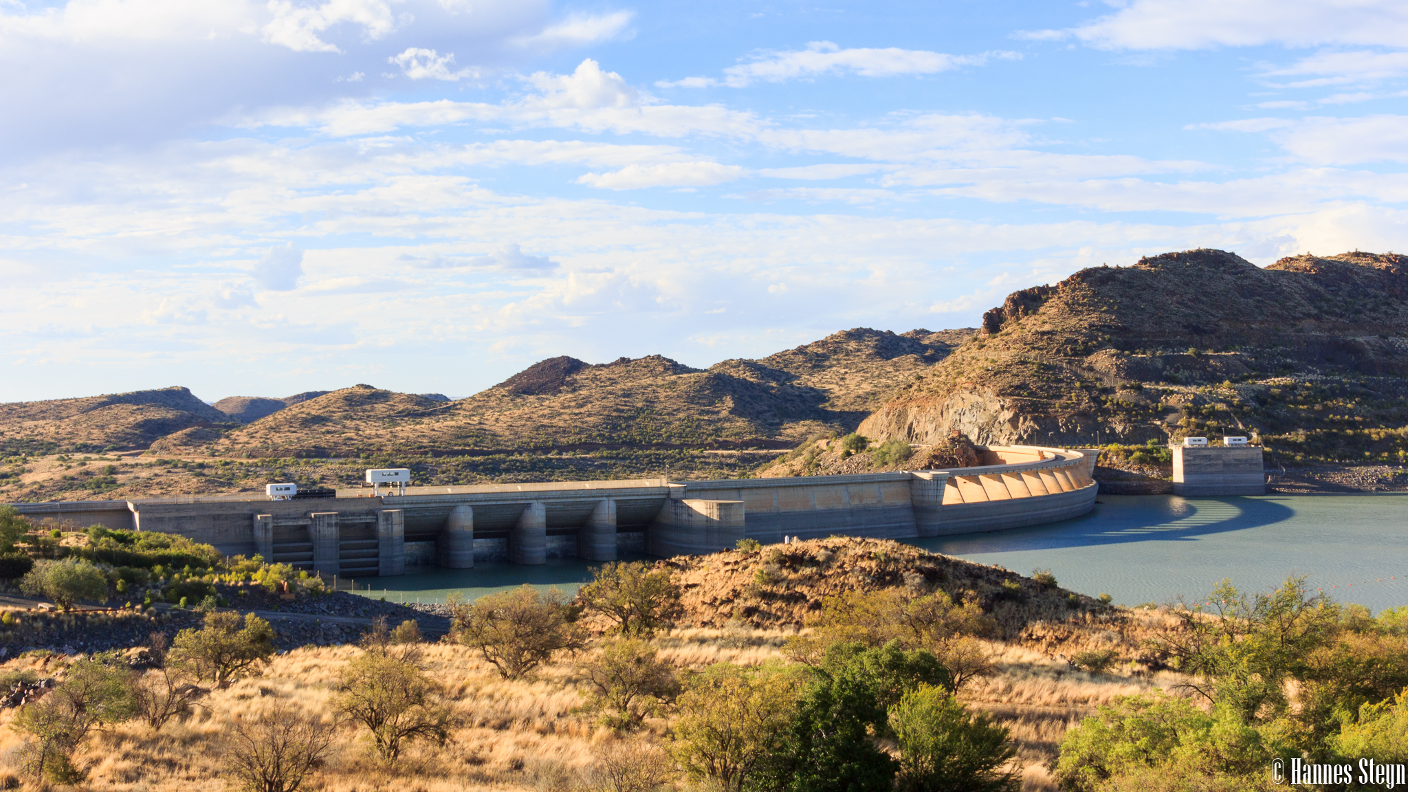
Day 3 - Vanderkloof Dam

Day 2 - Vanderkloof Dam

Day 3 - Vanderkloof Dam

Day 3 - Vanderkloof Dam

Day 3 - Vanderkloof Dam

Day 3 - Vanderkloof Dam

Day 3 - Vanderkloof Dam

Day 3 - Vanderkloof Dam

Day 3 - Vanderkloof Dam

Day 3 - Vanderkloof Dam

Day 3 - Vanderkloof Dam

IMG_E7560-2

IMG_4714-2

IMG_4715-2

IMG_7558-2

IMG_4711-2

IMG_7551-2

IMG_3669-2

IMG_4709-2

IMG_3671-2

Day 2 - Gariep

IMG_3667-2
IMG_3665-2

IMG_3666-2

IMG_3663-2

IMG_3670-2
Topographic Map of Rolfontein Nature Reserve, Van der Kloof, South Africa
Find elevation by address:

Places near Rolfontein Nature Reserve, Van der Kloof, South Africa:
Recent Searches:
- Elevation of Martins Mill Ct, Eagle Rock, NC, USA
- Elevation of Kippen, Stirling FK8, UK
- Elevation of Sieveringer Straße, Sieveringer Str., Wien, Austria
- Elevation of Bratskaya Ulitsa, 24, Kurgan, Kurganskaya oblast', Russia
- Elevation of Paradisvegen, Biri, Norway
- Elevation of Crystal Cir, Birmingham, AL, USA
- Elevation of N Railroad Ave, West Palm Beach, FL, USA
- Elevation of 55 Cassick Valley Rd, Wellfleet, MA, USA
- Elevation of Ironwood Dr, Minden, NV, USA
- Elevation of 高尾山口駅, Takaomachi, Hachioji, Tokyo -, Japan