Elevation of Rogers, TX, USA
Location: United States > Texas > Bell County >
Longitude: -97.226663
Latitude: 30.9315741
Elevation: 165m / 541feet
Barometric Pressure: 99KPa
Elevation Map:
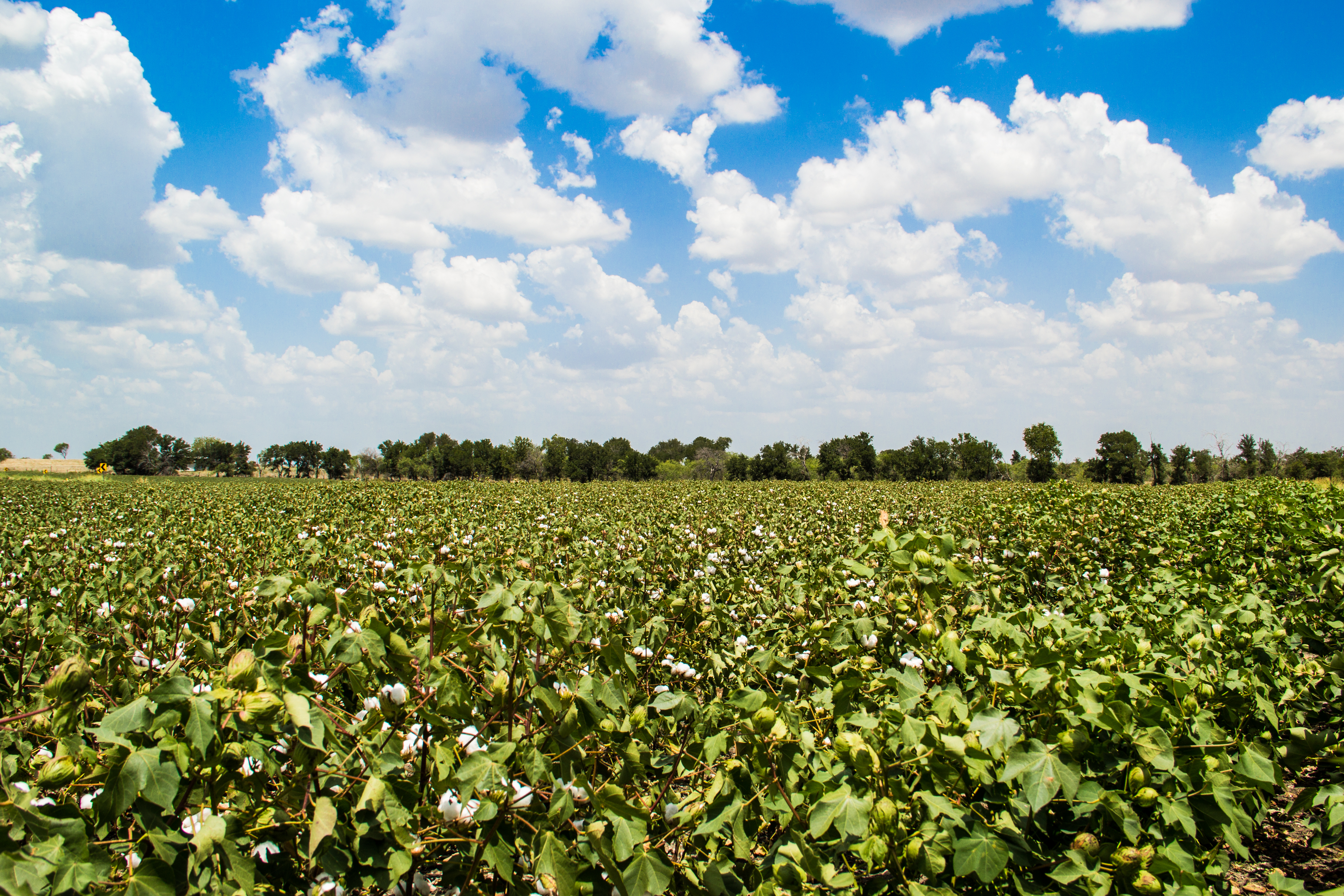
Satellite Map:
Related Photos:

Reach Up
untitled.jpg

152. Power

153. Dwelling

151. expanse

154. Southern American household

04.08.2016
Topographic Map of Rogers, TX, USA
Find elevation by address:

Places in Rogers, TX, USA:
Places near Rogers, TX, USA:
Mesquite Ave, Rogers, TX, USA
Val Verde
Buckholts
Farm To Market Road 1915
19999 Fm 2268
Donahoe Rd, Bartlett, TX, USA
FM, Buckholts, TX, USA
16194 Fm487
Holland
19125 Alligator Rd
FM, Rockdale, TX, USA
Granger Dam Rd, Granger, TX, USA
FM, Thorndale, TX, USA
Bartlett
Co Rd, Taylor, TX, USA
2400 Fm2268
55 Co Rd, Taylor, TX, USA
Granger
Main St, Schwertner, TX, USA
Schwertner
Recent Searches:
- Elevation of Luther Road, Luther Rd, Auburn, CA, USA
- Elevation of Unnamed Road, Respublika Severnaya Osetiya — Alaniya, Russia
- Elevation of Verkhny Fiagdon, North Ossetia–Alania Republic, Russia
- Elevation of F. Viola Hiway, San Rafael, Bulacan, Philippines
- Elevation of Herbage Dr, Gulfport, MS, USA
- Elevation of Lilac Cir, Haldimand, ON N3W 2G9, Canada
- Elevation of Harrod Branch Road, Harrod Branch Rd, Kentucky, USA
- Elevation of Wyndham Grand Barbados Sam Lords Castle All Inclusive Resort, End of Belair Road, Long Bay, Bridgetown Barbados
- Elevation of Iga Trl, Maggie Valley, NC, USA
- Elevation of N Co Rd 31D, Loveland, CO, USA