Elevation of Rocky Point, OR, USA
Location: United States > Oregon > Klamath County >
Longitude: -122.08673
Latitude: 42.481648
Elevation: 1297m / 4255feet
Barometric Pressure: 87KPa
Elevation Map:
Satellite Map:
Related Photos:
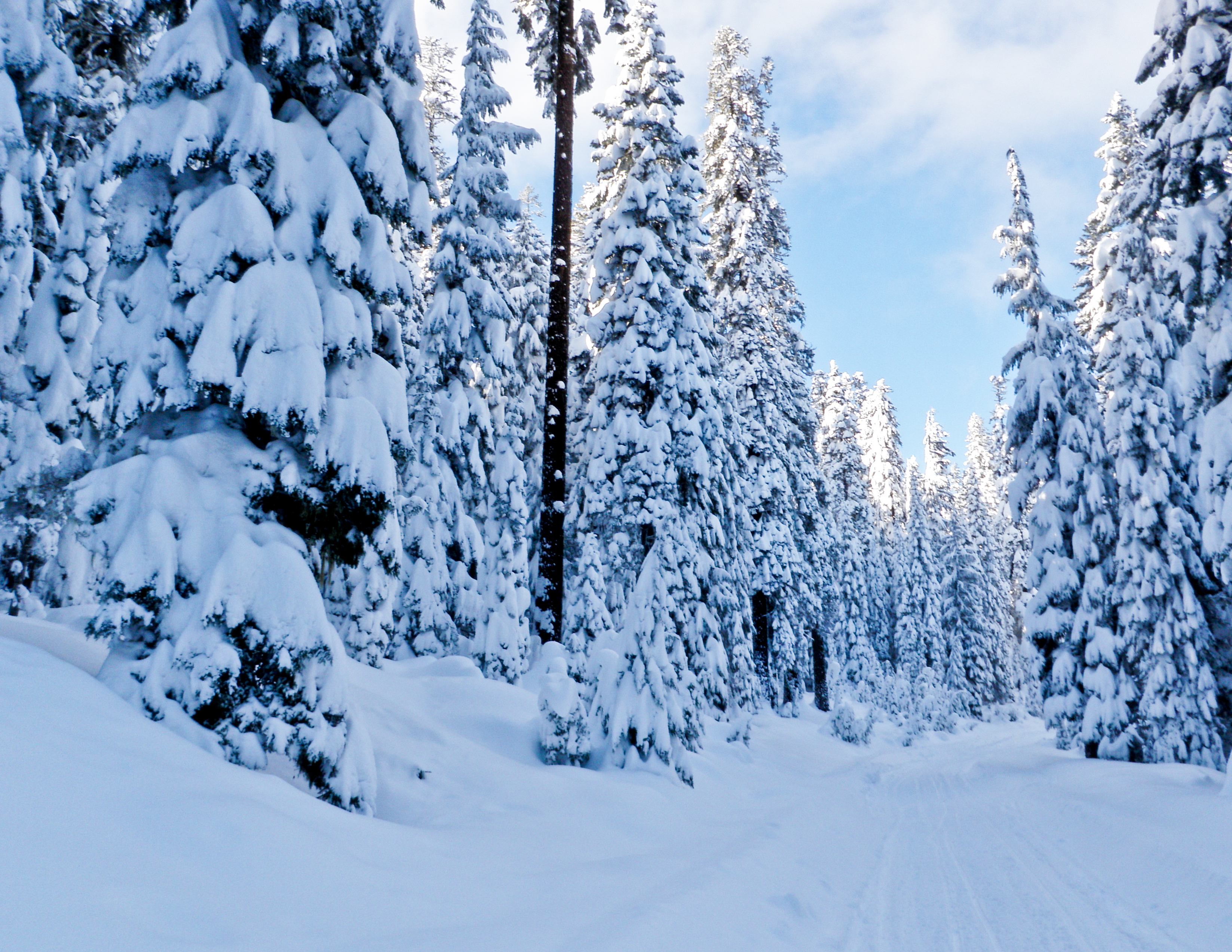
Four Mile Lake Winter Trail
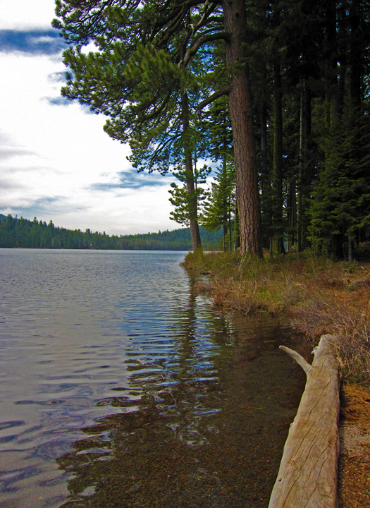
Lake of the Woods
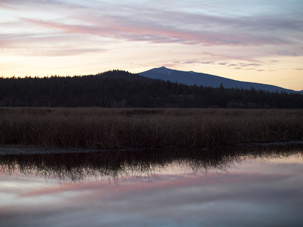
Eagle Ridge Marsh View

Eagle Ridge Marsh view of Crater Lake
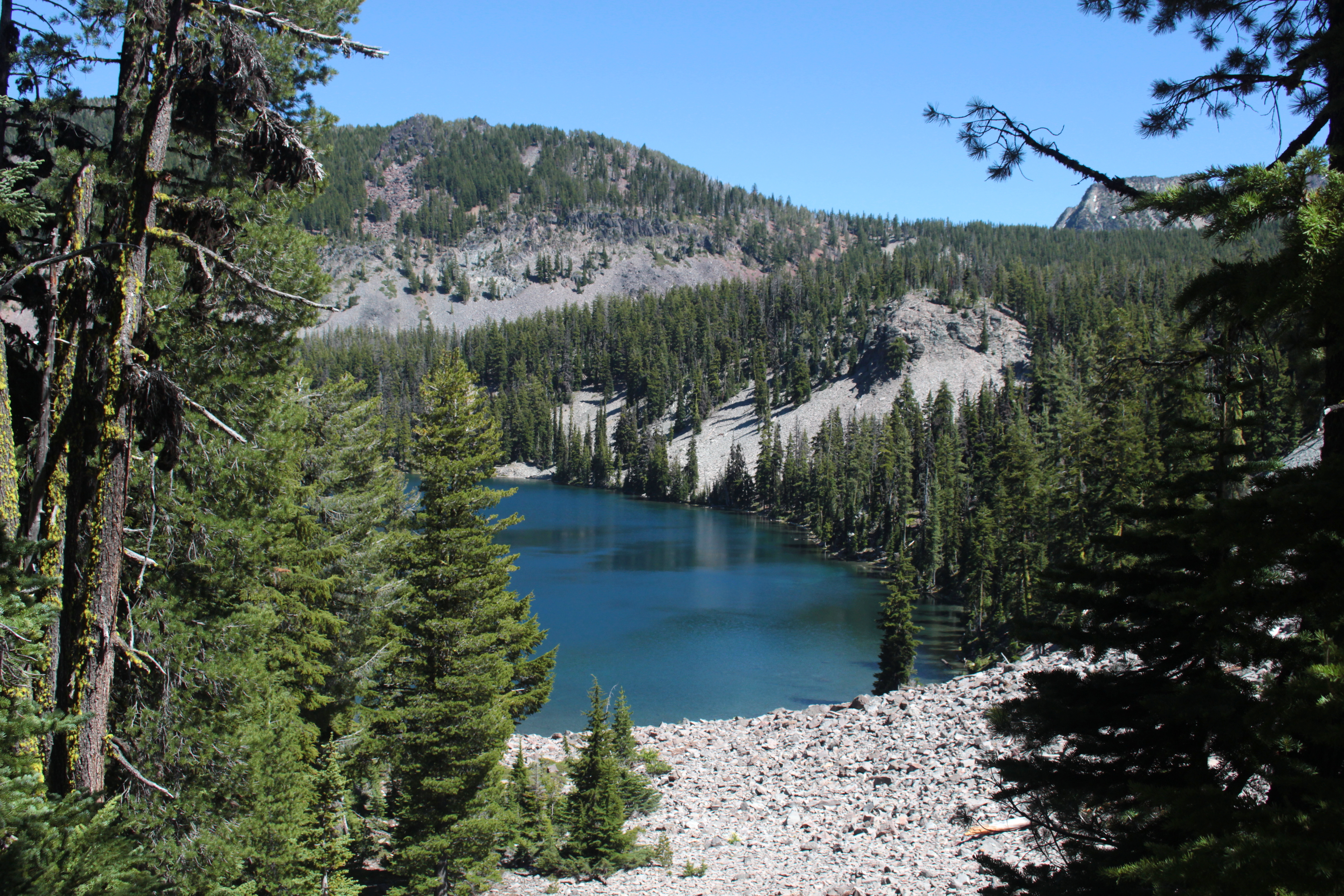
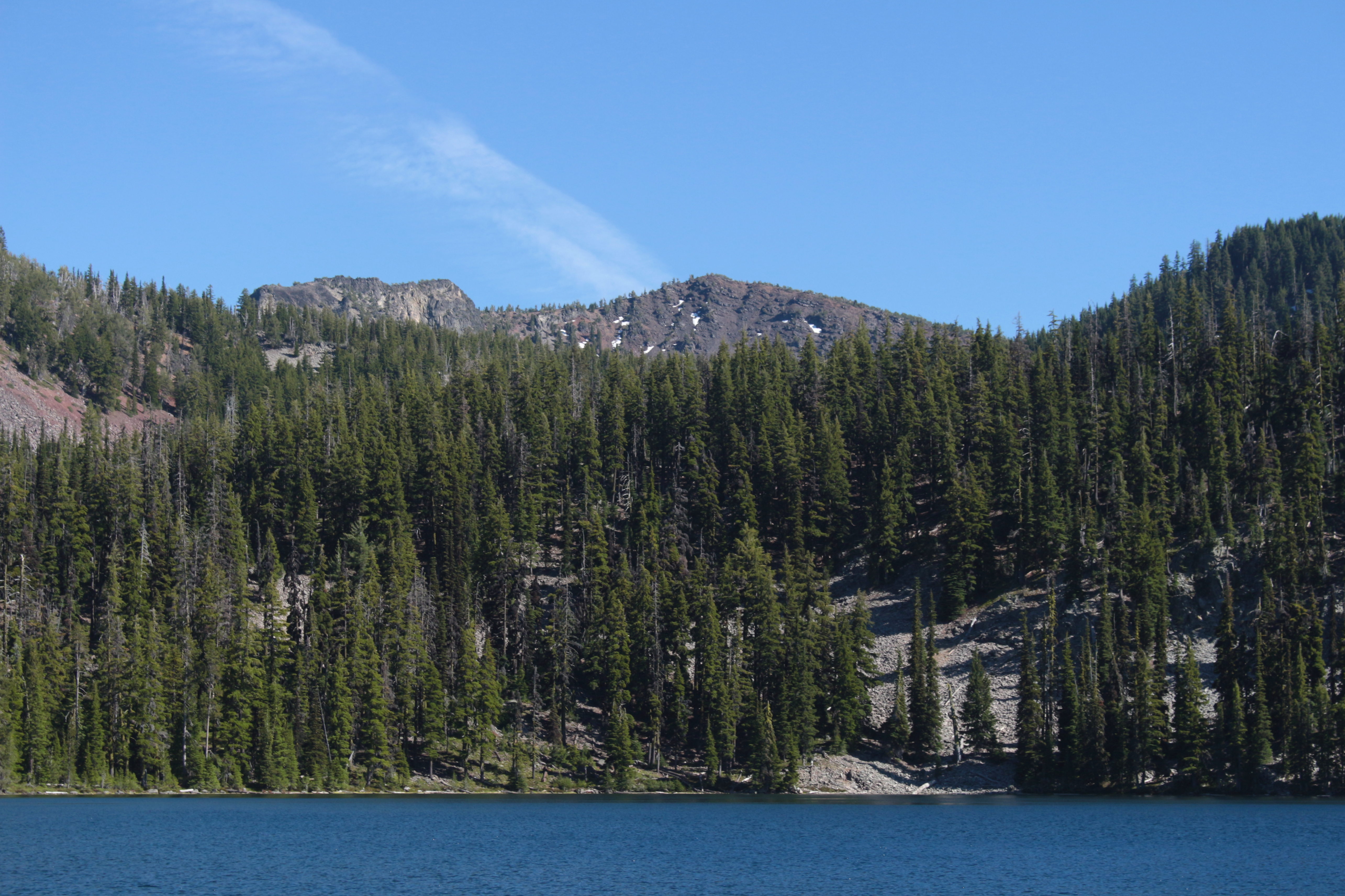
First view of Harriette Lake, our home for the night
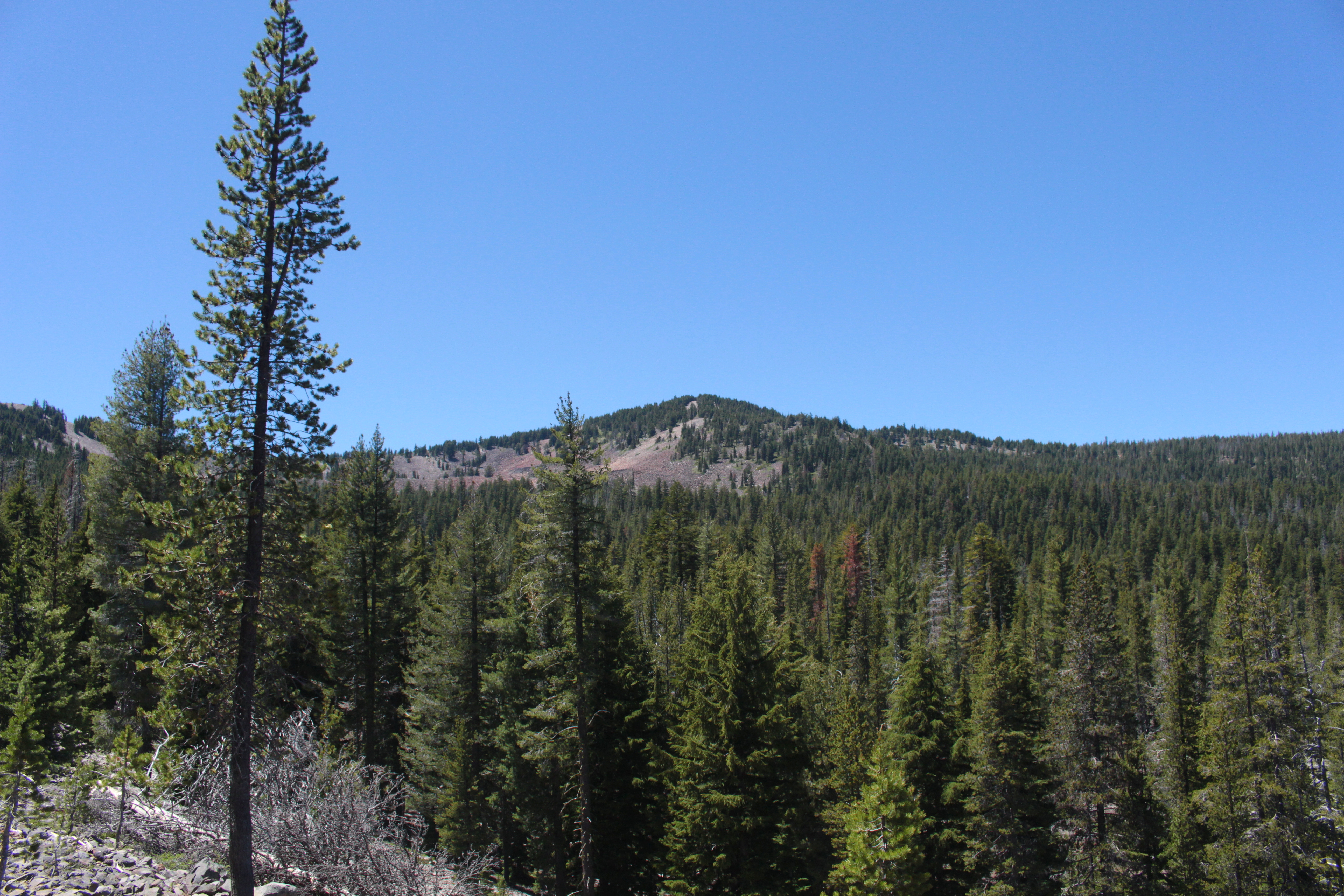
View to Greylock Mountain
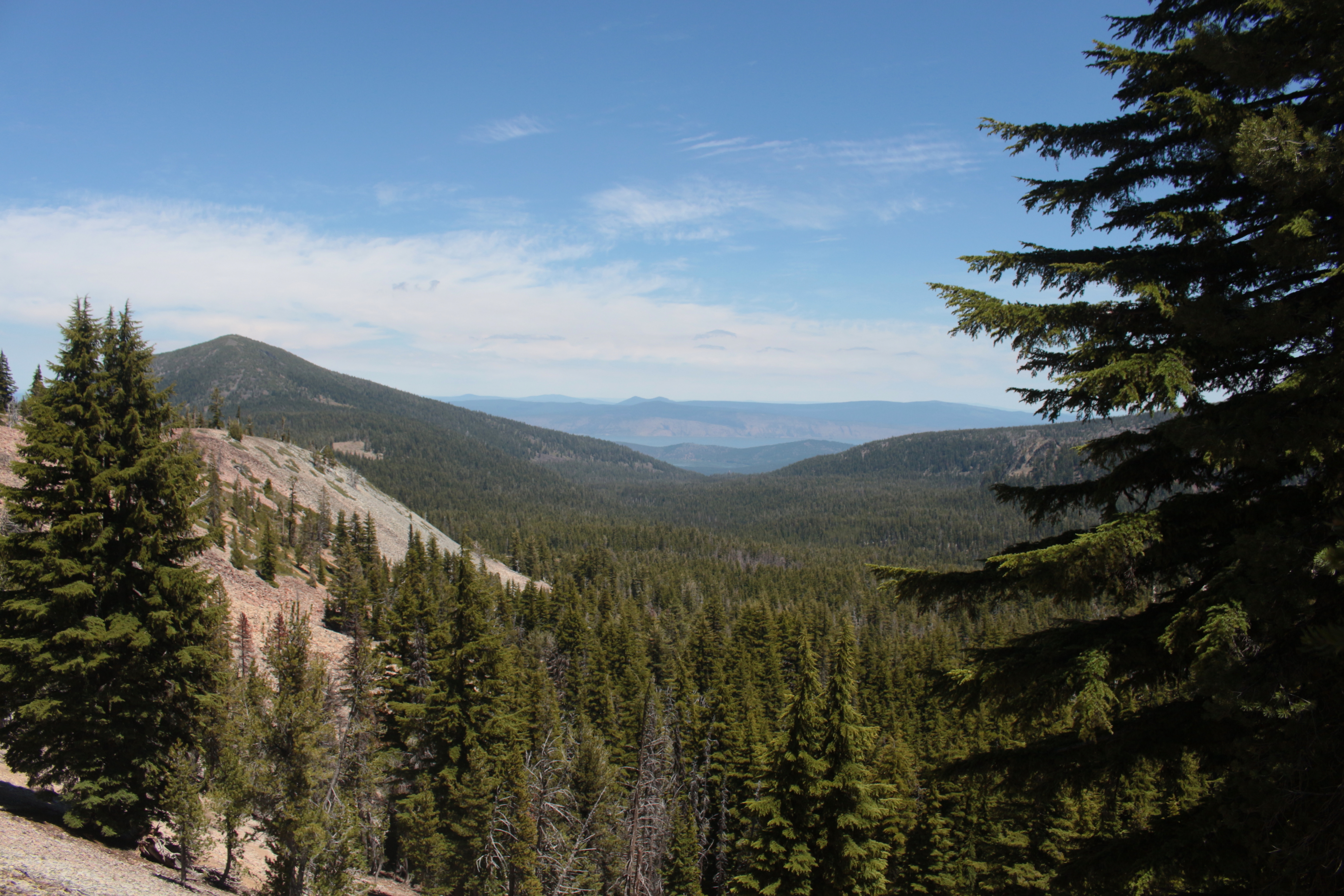
View to Upper Klamath Lake from the north pass

Mt McLoughlin

Terns on 2 Posts
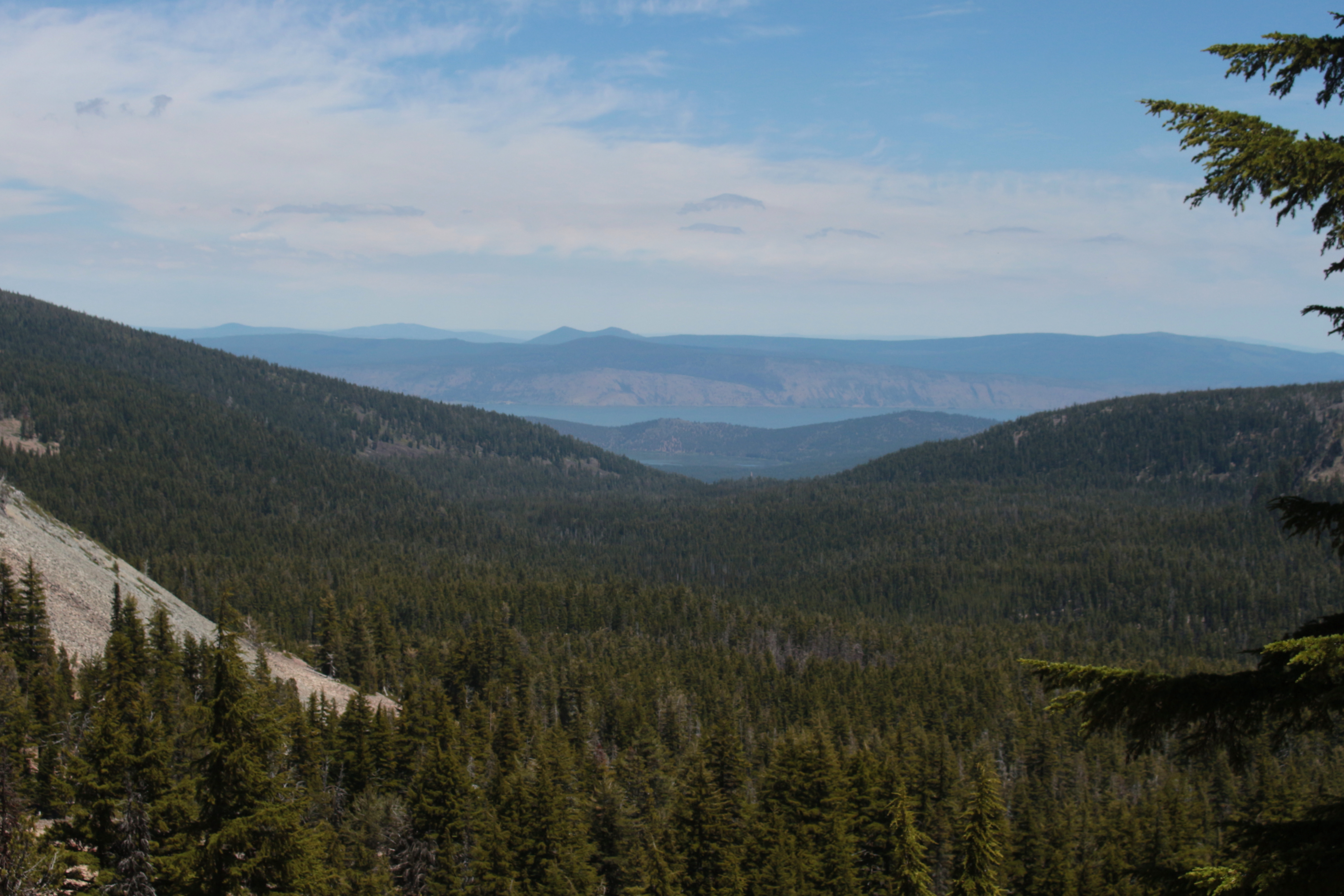
View to Upper Klamath Lake
View to Aspen Butte, the highest point in the Mountain Lakes Wilderness
Topographic Map of Rocky Point, OR, USA
Find elevation by address:

Places near Rocky Point, OR, USA:
Usfs Road
31210 Harriette Dr
Pelican Butte
Aspen Butte
33829 Golden Meadow Rd
Lake Of The Woods
Mark Court
38038 Modoc Point Rd
38070 Aspenwood Ct
Dead Indian Memorial Road
Dead Indian Memorial Road
Modoc Point Rd, Chiloquin, OR, USA
Mount Mcloughlin
Chiloquin
8045 Toboggan Cir
8045 Toboggan Cir
8045 Toboggan Cir
42260 Brook Trout Ln
1084 Eastern Brook Ln
4904 Grosbeak Dr
Recent Searches:
- Elevation of Corso Fratelli Cairoli, 35, Macerata MC, Italy
- Elevation of Tallevast Rd, Sarasota, FL, USA
- Elevation of 4th St E, Sonoma, CA, USA
- Elevation of Black Hollow Rd, Pennsdale, PA, USA
- Elevation of Oakland Ave, Williamsport, PA, USA
- Elevation of Pedrógão Grande, Portugal
- Elevation of Klee Dr, Martinsburg, WV, USA
- Elevation of Via Roma, Pieranica CR, Italy
- Elevation of Tavkvetili Mountain, Georgia
- Elevation of Hartfords Bluff Cir, Mt Pleasant, SC, USA