Elevation of Rockton NSW, Australia
Location: Australia > New South Wales > Bombala Council >
Longitude: 149.311875
Latitude: -37.163204
Elevation: 466m / 1529feet
Barometric Pressure: 96KPa
Elevation Map:
Satellite Map:
Related Photos:
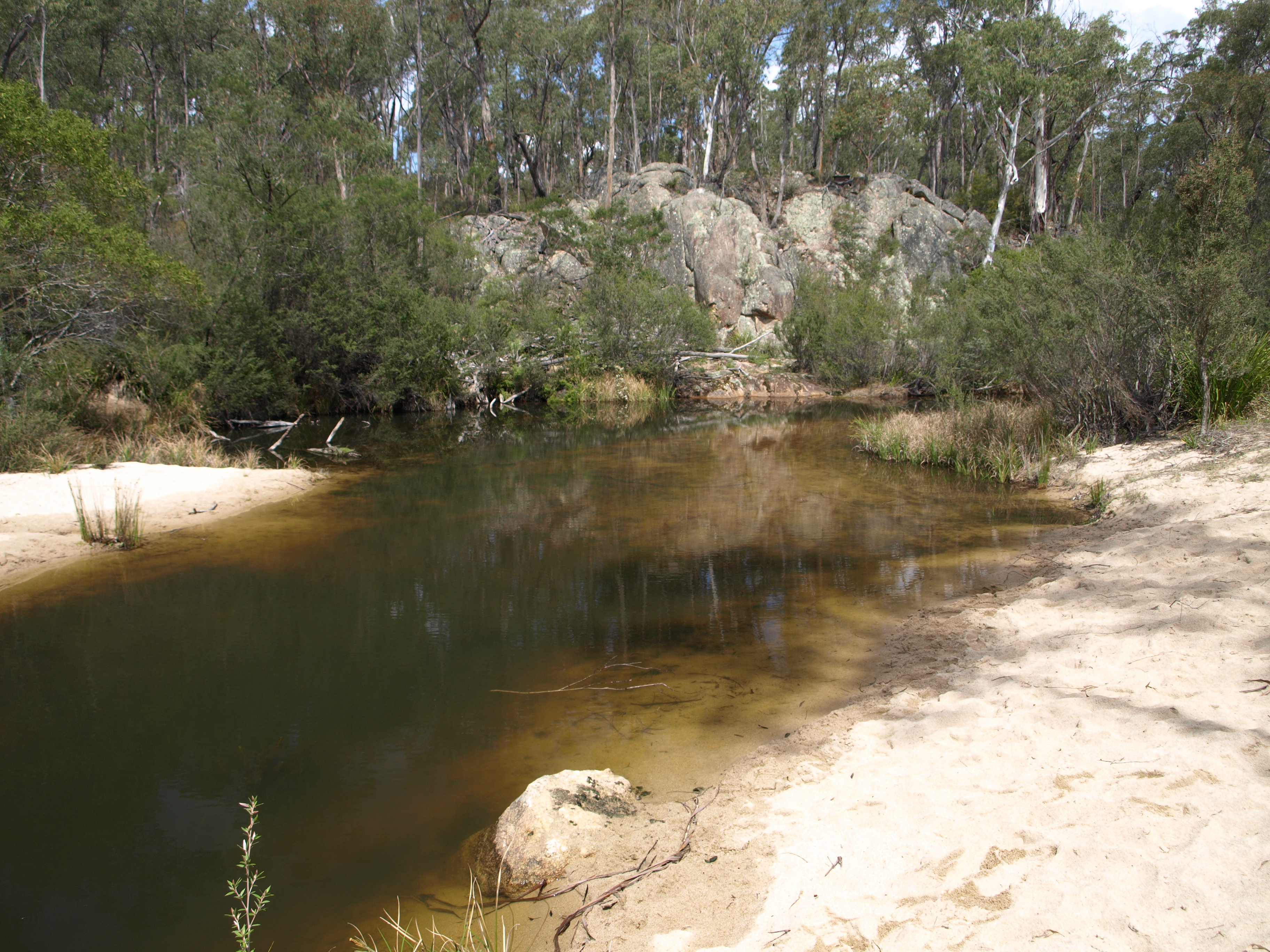
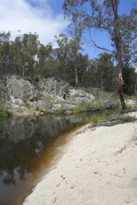
White Rock River
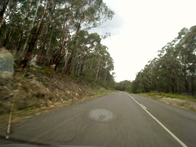
South East Forest National Park
2009-12-05 15-55
2009-12-05 15-45
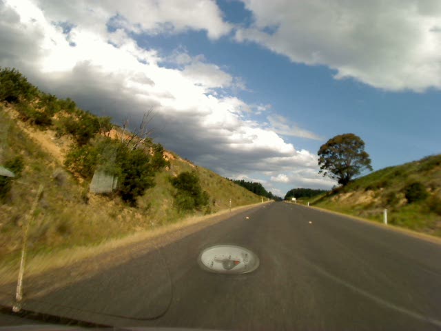
Kickin up a bit of dust
Topographic Map of Rockton NSW, Australia
Find elevation by address:

Places in Rockton NSW, Australia:
Places near Rockton NSW, Australia:
Kellys Mountain Road
Bombala Council
Bombala
Big Jack Mountain Road
Wingan River
1466 Tantawangalo Mountain Rd
1466 Tantawangalo Mountain Rd
Tantawangalo
519 Towridgee Ln
Themeda
Gales Hill Track
Mallacoota
41 Parkes St
Bega Valley Shire Council
Bemboka
Eden
105 Merimbula Dr
Merimbula
Bega
12 Park Ln
Recent Searches:
- Elevation of W Granada St, Tampa, FL, USA
- Elevation of Pykes Down, Ivybridge PL21 0BY, UK
- Elevation of Jalan Senandin, Lutong, Miri, Sarawak, Malaysia
- Elevation of Bilohirs'k
- Elevation of 30 Oak Lawn Dr, Barkhamsted, CT, USA
- Elevation of Luther Road, Luther Rd, Auburn, CA, USA
- Elevation of Unnamed Road, Respublika Severnaya Osetiya — Alaniya, Russia
- Elevation of Verkhny Fiagdon, North Ossetia–Alania Republic, Russia
- Elevation of F. Viola Hiway, San Rafael, Bulacan, Philippines
- Elevation of Herbage Dr, Gulfport, MS, USA