Elevation of Rockford, IA, USA
Location: United States > Iowa > Floyd County > Rockford >
Longitude: -92.948530
Latitude: 43.0521922
Elevation: 305m / 1001feet
Barometric Pressure: 98KPa
Elevation Map:
Satellite Map:
Related Photos:
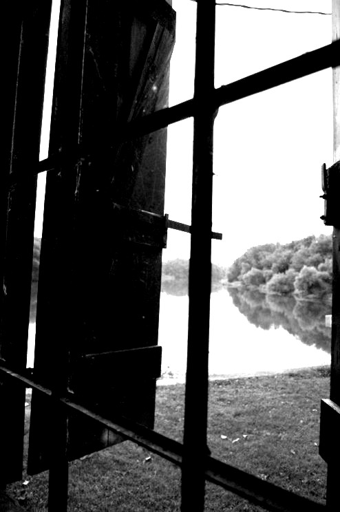
View to the Outside
Rudd, Aug 29, 2008
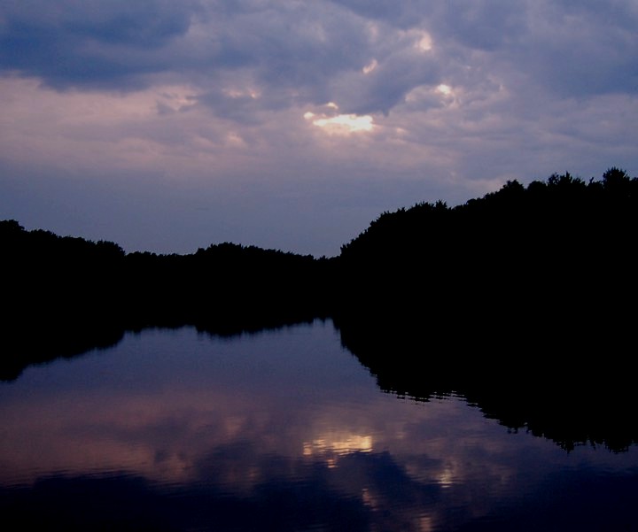
Purple Hues

ianr 451north
Phone 2011-03-19 154934 Fossil and Prairie Park Rockford Iowa
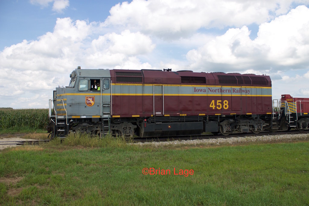
IANR 458 rural Marble Rock 2

IANR 458 rural Marble Rock
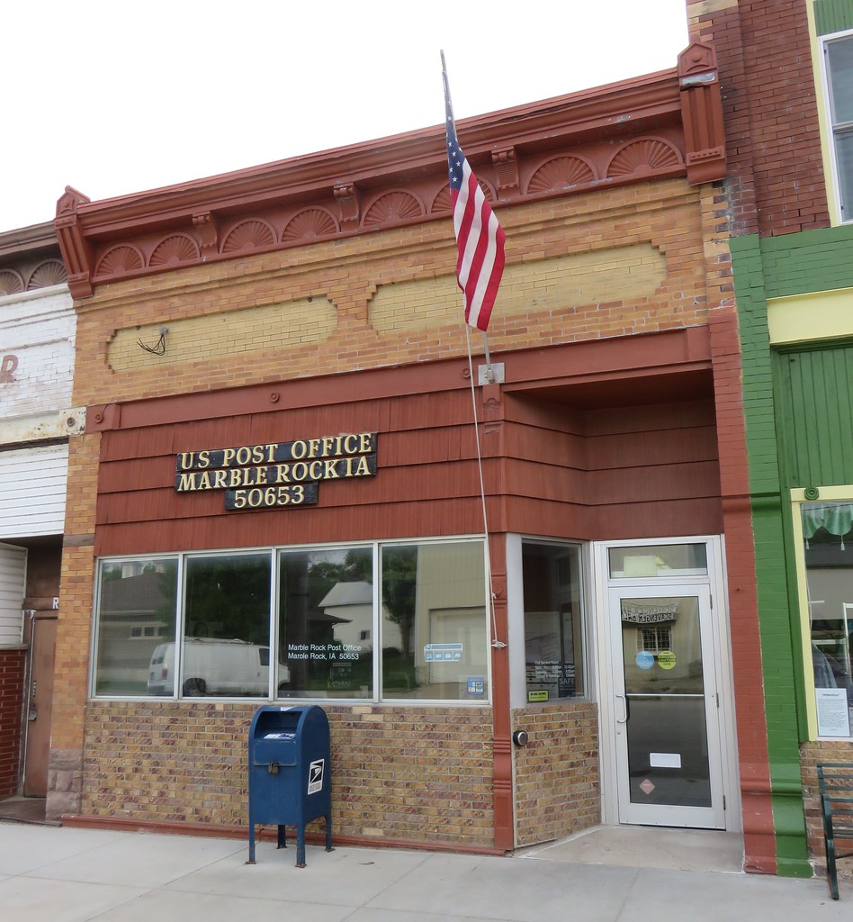
Post Office 50653 (Marble Rock, Iowa)

Typical Team Nasty stance. #jimnasty
New leader at Nora Springs
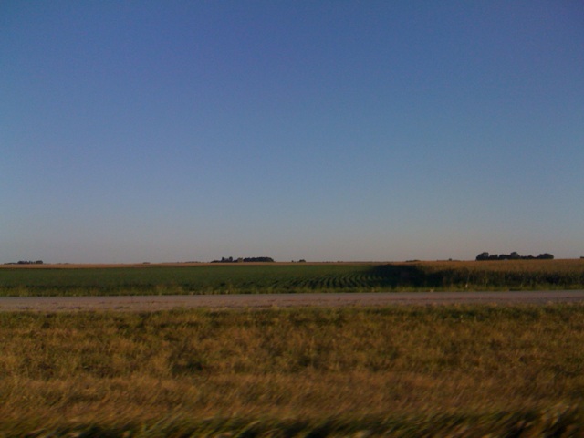
Nora Springs, IA

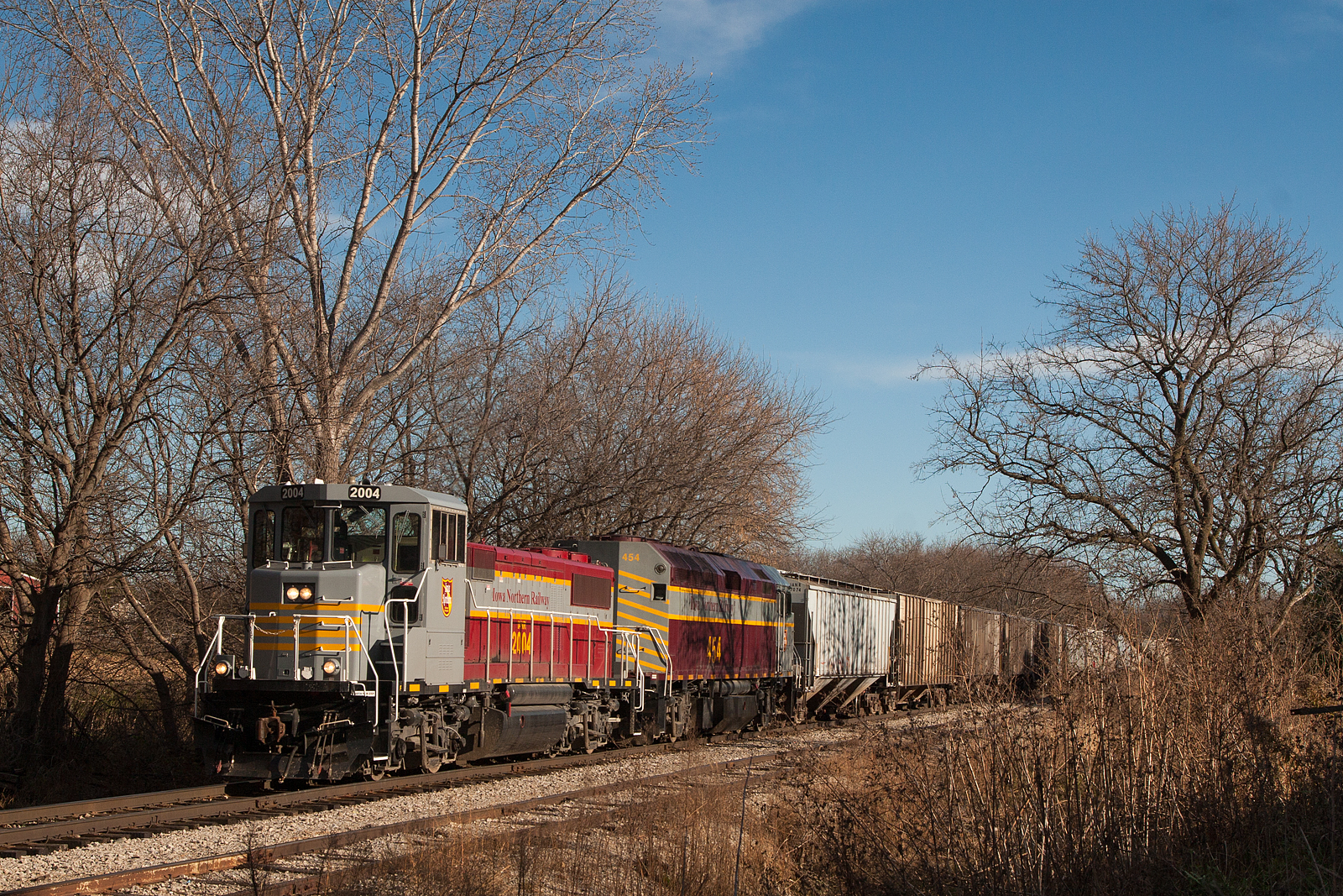
Iowa Northern Local
Tree Frame
Three in a row

Walk Around
Iowa, Rockford (15,916)

2012-ROADTRIP59-Nora Springs6

2012-ROADTRIP59-Nora Springs5

2012-ROADTRIP59-Nora Springs3

2012-ROADTRIP59-Nora Springs2

2012-ROADTRIP59-Nora Springs1

2012-ROADTRIP59-Nora Springs4
Nice spot for a wedding
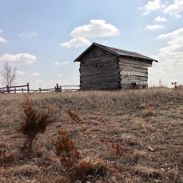
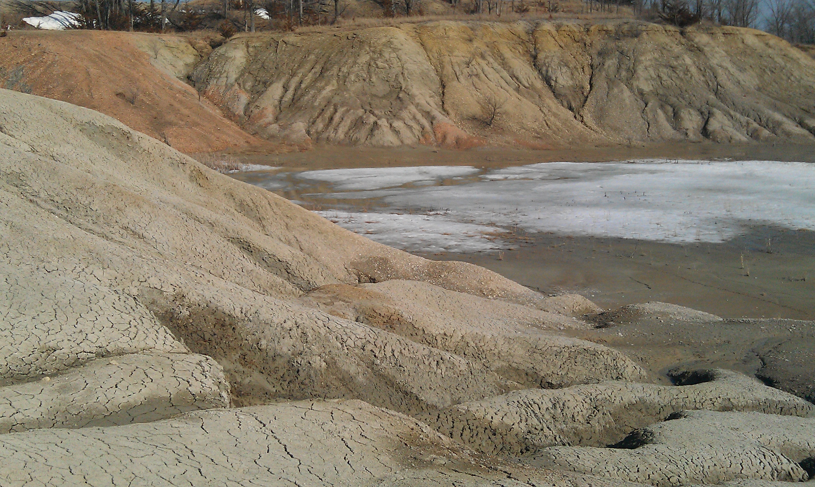
A little house on a prairie.
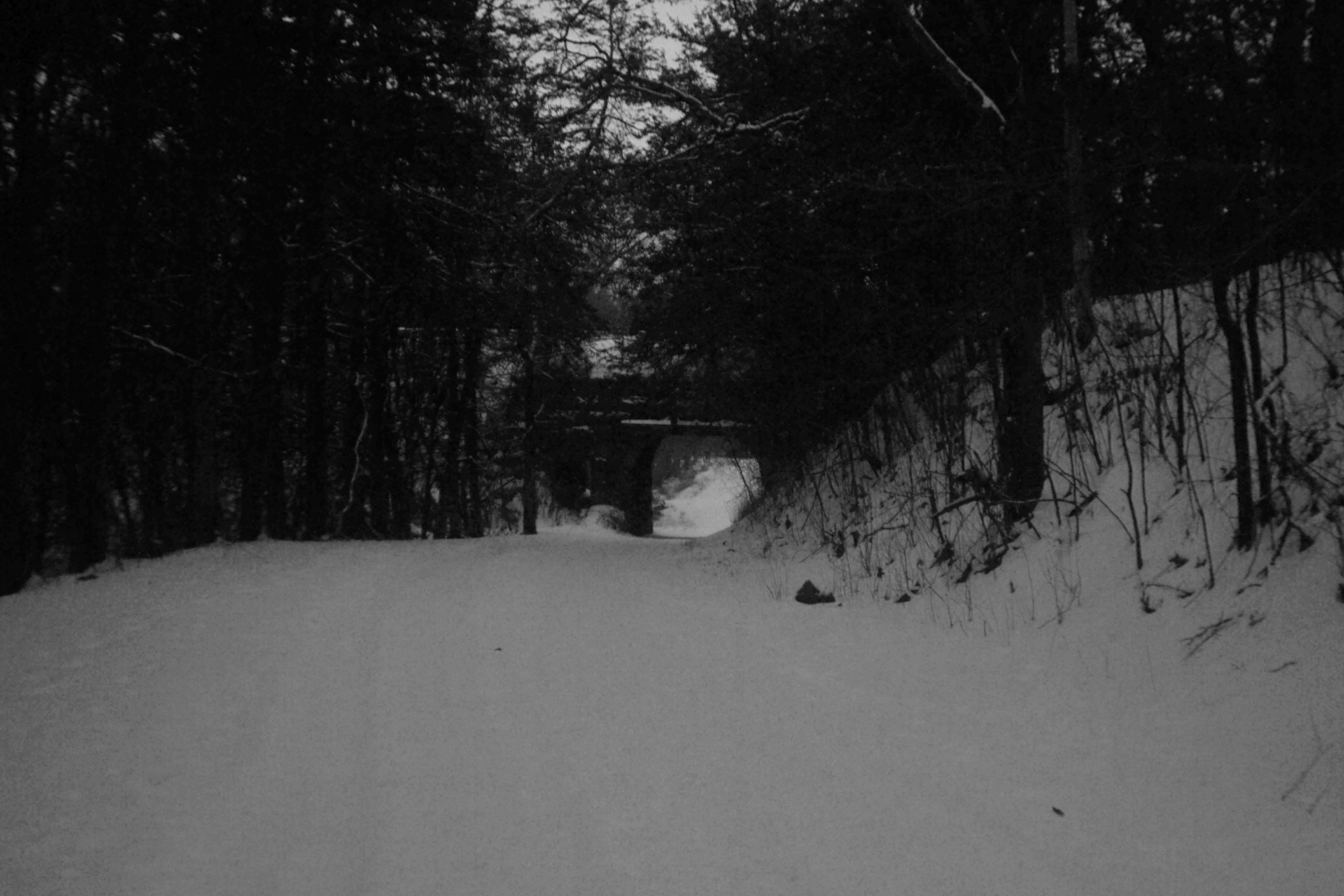
Descending to The Bridge.
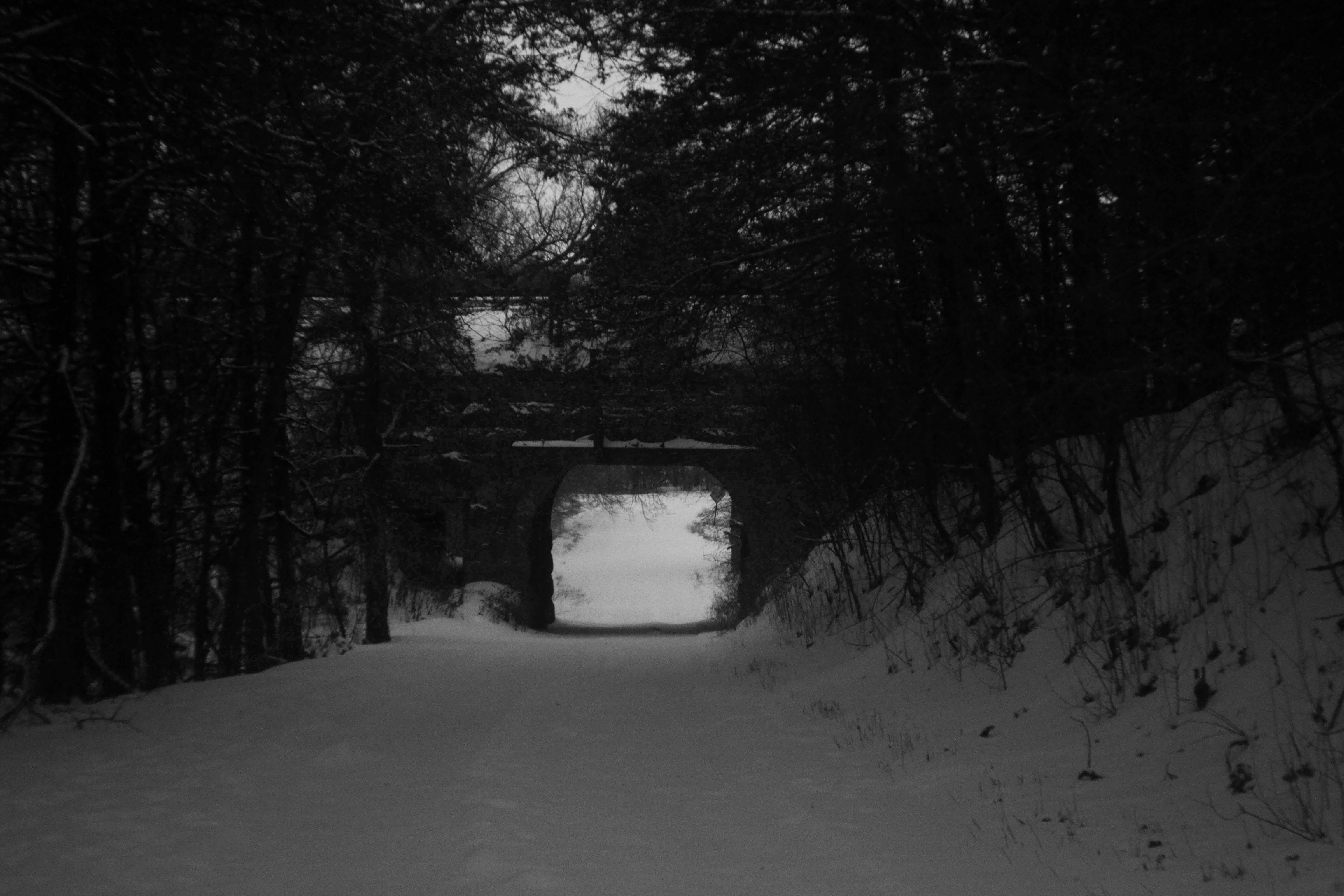
Haunted Bridge.
Topographic Map of Rockford, IA, USA
Find elevation by address:

Places in Rockford, IA, USA:
Places near Rockford, IA, USA:
W Main Ave, Rockford, IA, USA
209 4th St Nw
Fossil & Prairie Center
Rockford
Floyd County
Rock Grove
23-25
Nora Springs
Aureola Dr, Marble Rock, IA, USA
Ulster
Marble Rock
Owen
Union
Portland
2932 Kirkwood Ave
Main St, Mason City, IA, USA
Spruce Ave, Mason City, IA, USA
5 Mill St, Rock Falls, IA, USA
Rock Falls
Warbler Ave, Plymouth, IA, USA
Recent Searches:
- Elevation of N 82nd Pl, Mesa, AZ, USA
- Elevation of Snake Hill Rd, North Scituate, RI, USA
- Elevation of Lake Shore Dr, Warwick, RI, USA
- Elevation of E Brightview Ave, Pittsburgh, PA, USA
- Elevation of Cavendish Rd, Harringay Ladder, London N4 1RR, UK
- Elevation of 1 Zion Park Blvd, Springdale, UT, USA
- Elevation of Ganderbal
- Elevation map of Konkan Division, Maharashtra, India
- Elevation of Netaji Nagar, Hallow Pul, Kurla, Mumbai, Maharashtra, India
- Elevation of Uralsk, Kazakhstan