Elevation of Rock Point, AZ, USA
Location: United States > Arizona > Apache County >
Longitude: -109.62594
Latitude: 36.7180568
Elevation: 1527m / 5010feet
Barometric Pressure: 84KPa
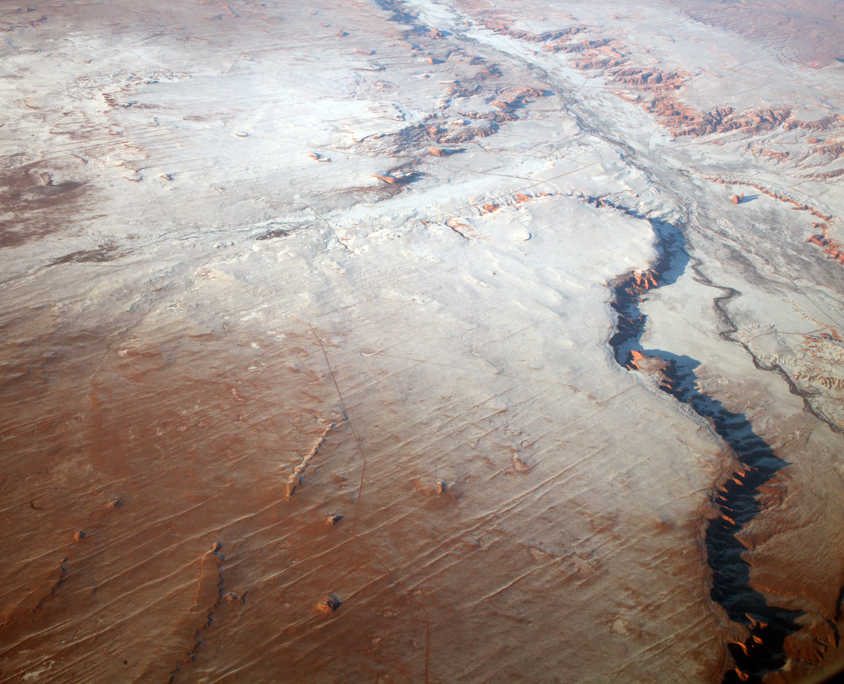
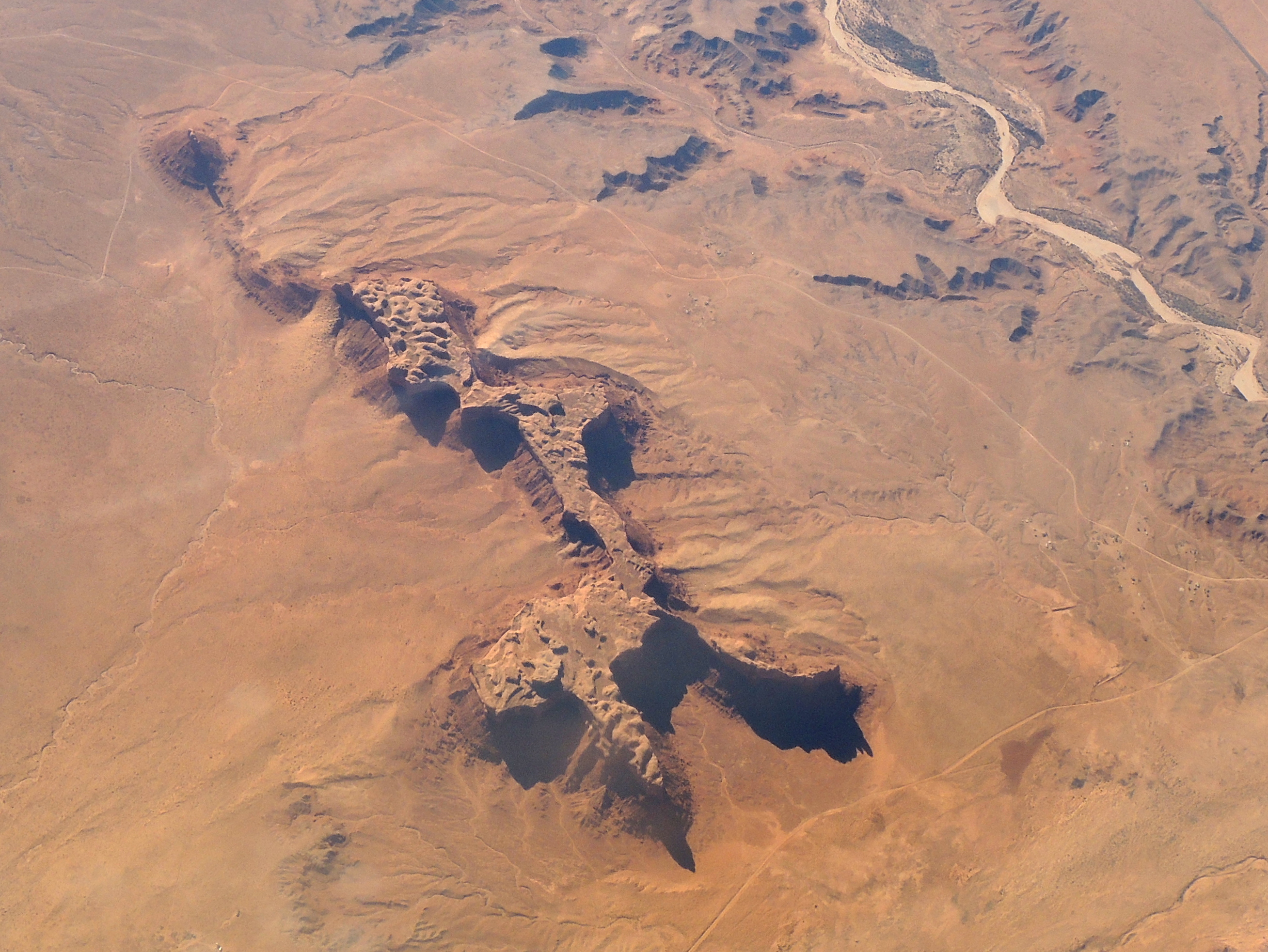
Elevation Map:
Satellite Map:
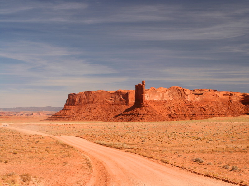
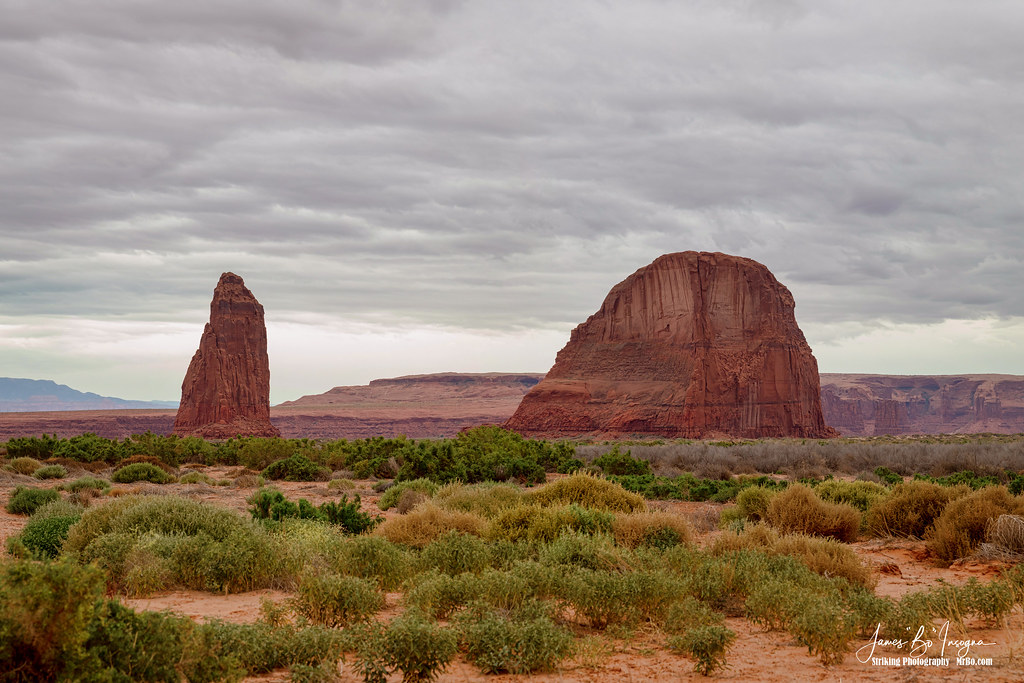
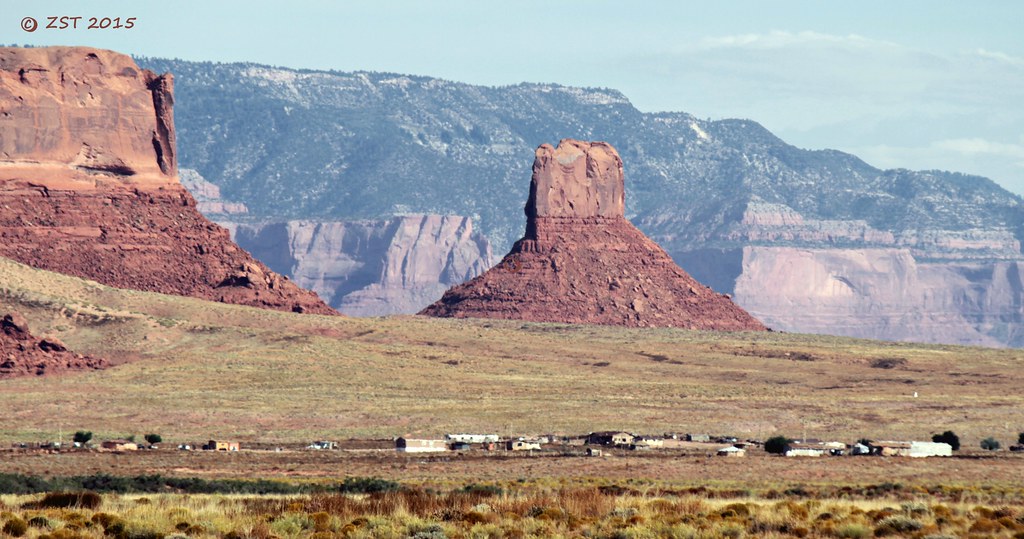
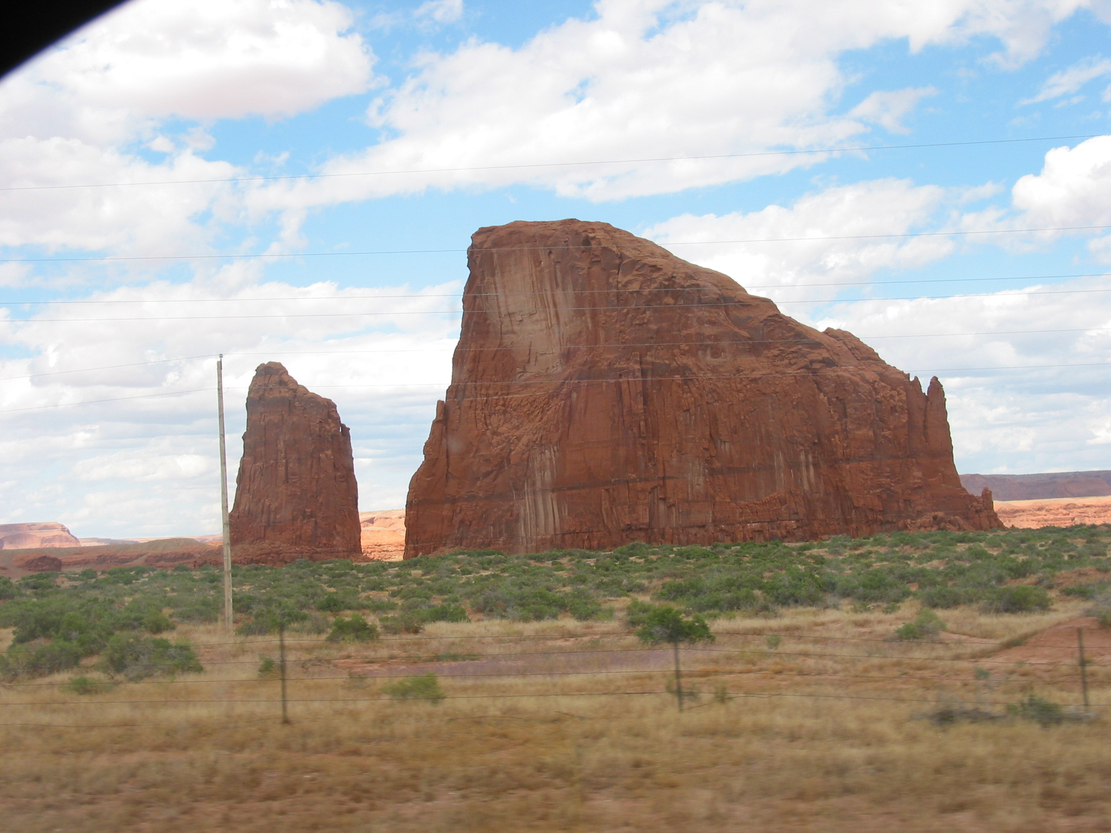
Related Photos:
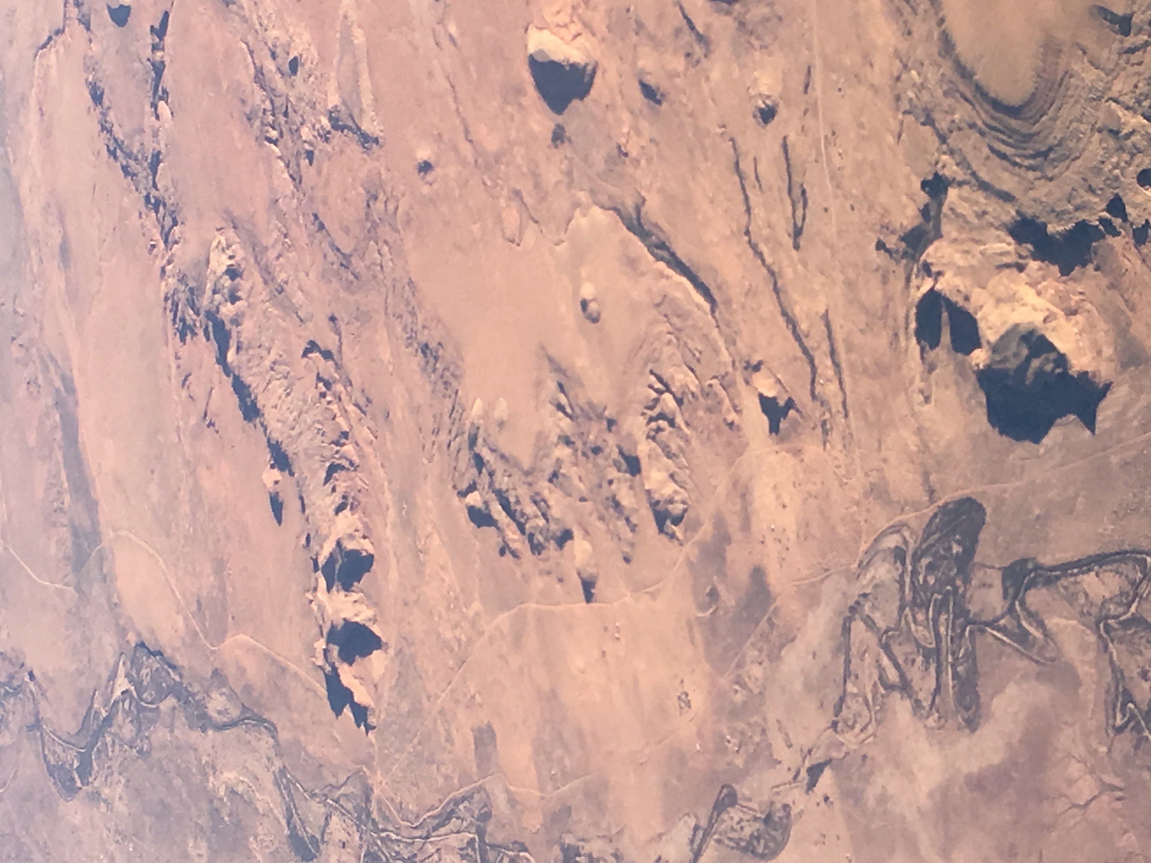
2013_01_17_lax-jfk_262
Mesa living
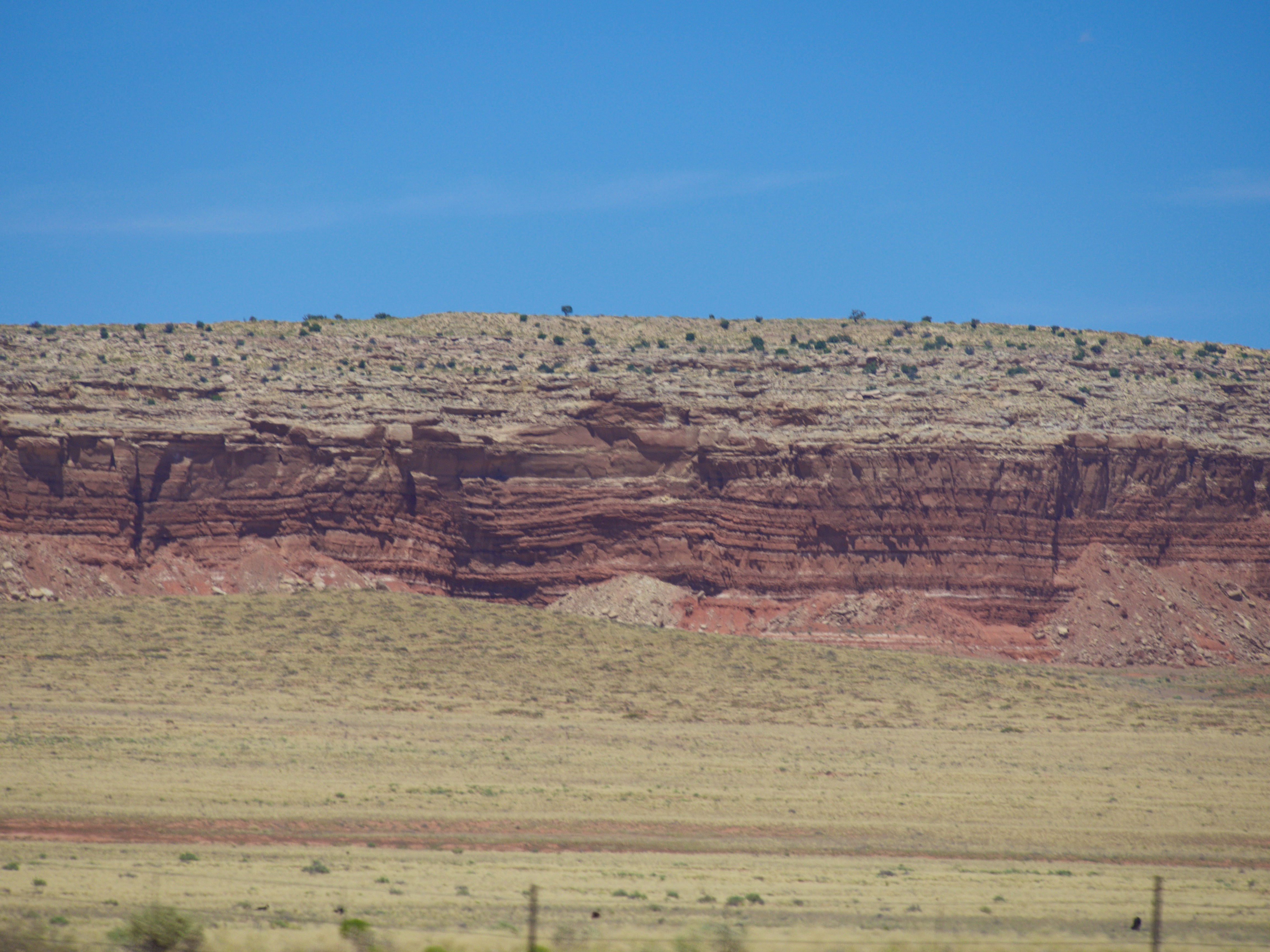
Rock Formation
Round Rock
IMG_5792.jpg
IMG_5796.jpg
190-9084_IMG
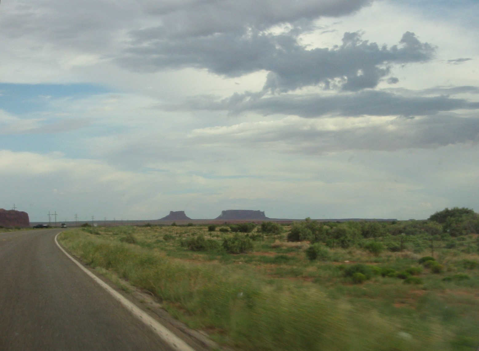
Return From the West
Return From the West
Naabeehó Bináhásdzo 20160705
IMG_5791.jpg
Naabeehó Bináhásdzo 20160705
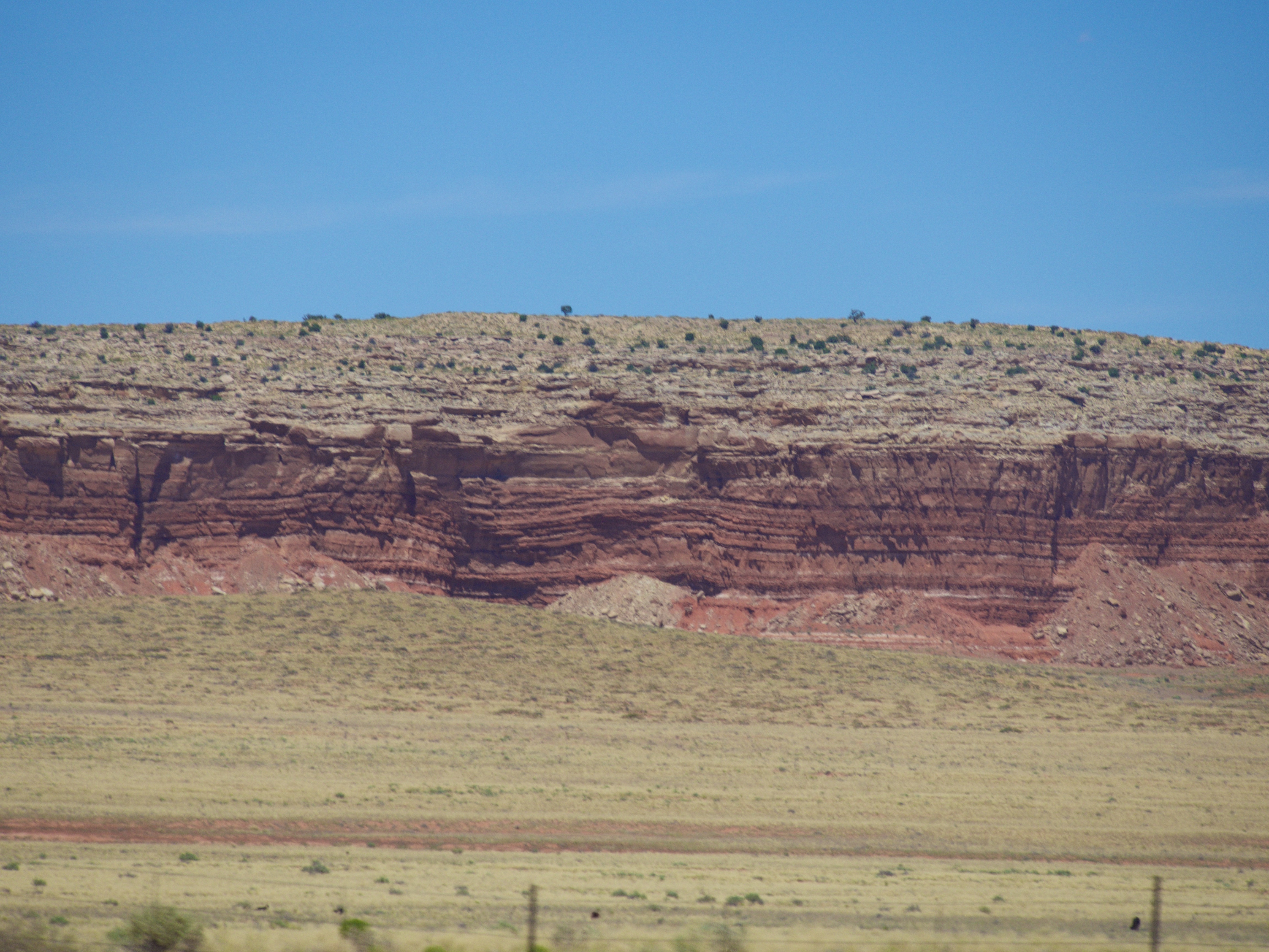
The Rock Gap
IMG_6069 Az
IMG_5788.jpg
190-9083_IMG
Topographic Map of Rock Point, AZ, USA
Find elevation by address:

Places near Rock Point, AZ, USA:
Mexican Water Trading Post
Mexican Water
E Main St, Bluff, UT, USA
Bluff
US-, Teec Nos Pos, AZ, USA
Teec Nos Pos
Four Corners Monument
New Mexico 597
Butler Washington Road
White Mesa
Road G, Cortez, CO, USA
490 County Rd G
Road G, Cortez, CO, USA
White Mesa Mill
Blue Mountain Rv & Trading
Is Rt 36
355 E 850 S
Blanding
6512 County Rd G
Shiprock
Recent Searches:
- Elevation of Lampiasi St, Sarasota, FL, USA
- Elevation of Elwyn Dr, Roanoke Rapids, NC, USA
- Elevation of Congressional Dr, Stevensville, MD, USA
- Elevation of Bellview Rd, McLean, VA, USA
- Elevation of Stage Island Rd, Chatham, MA, USA
- Elevation of Shibuya Scramble Crossing, 21 Udagawacho, Shibuya City, Tokyo -, Japan
- Elevation of Jadagoniai, Kaunas District Municipality, Lithuania
- Elevation of Pagonija rock, Kranto 7-oji g. 8"N, Kaunas, Lithuania
- Elevation of Co Rd 87, Jamestown, CO, USA
- Elevation of Tenjo, Cundinamarca, Colombia