Elevation of Rock Glen Rd, Sugarloaf, PA, USA
Location: United States > Pennsylvania > Luzerne County > Black Creek Township >
Longitude: -76.165487
Latitude: 40.979254
Elevation: 299m / 981feet
Barometric Pressure: 98KPa
Elevation Map:
Satellite Map:
Related Photos:
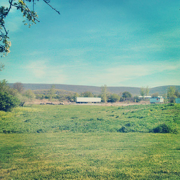
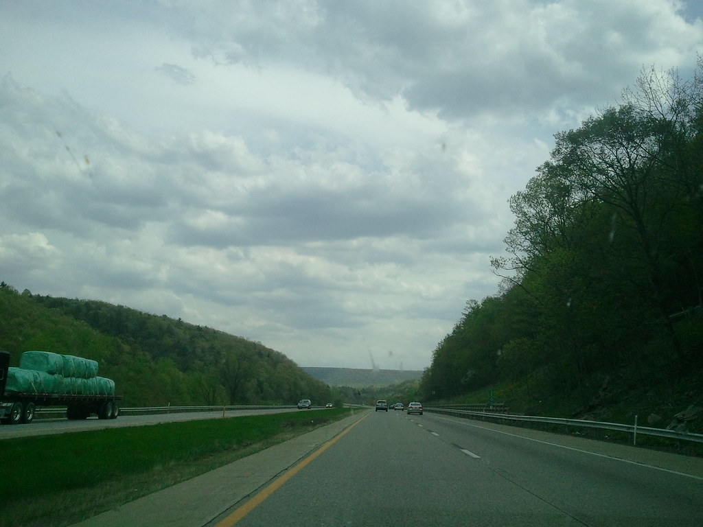
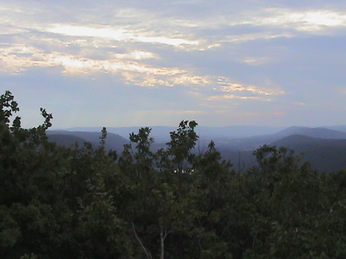
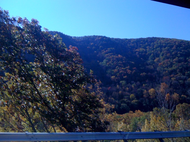
Roadside View (2)
Lunch time view.
Roadside View (1)
111112-1-WEB-copyright

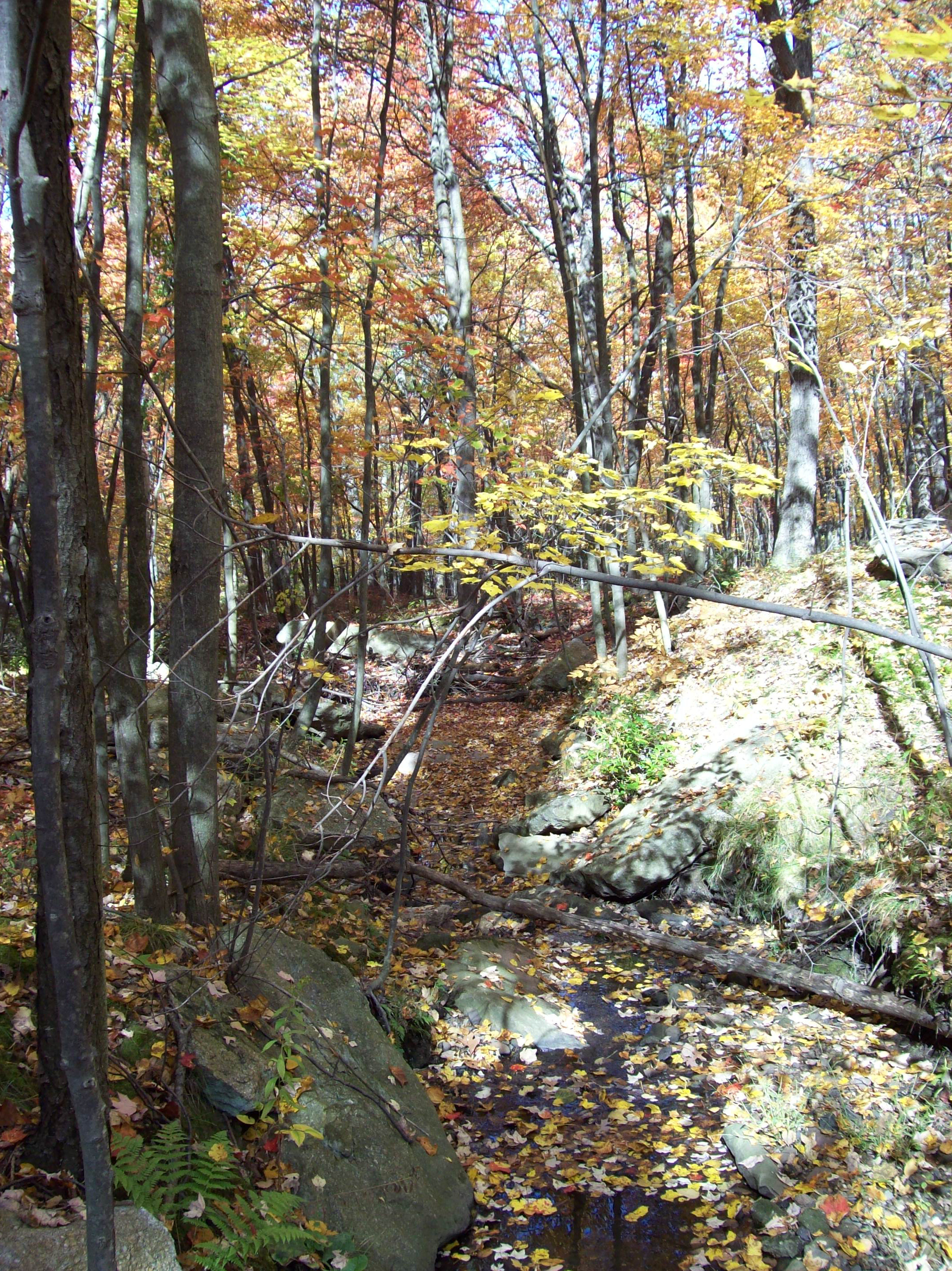
river and trees

Beach Haven Speedway Aerial View
2011-05-06 16.12.17
View from Hampton Inn

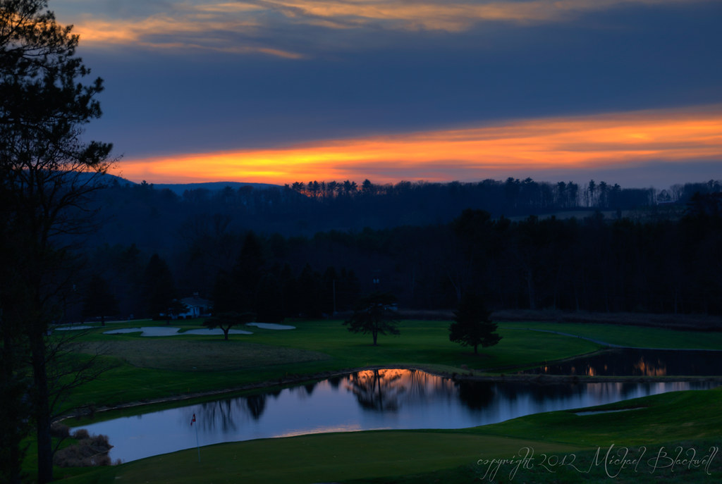
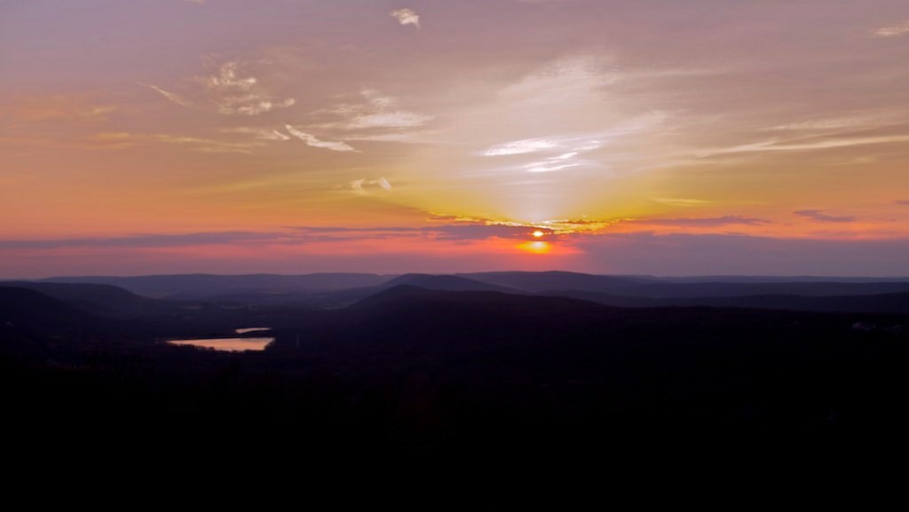
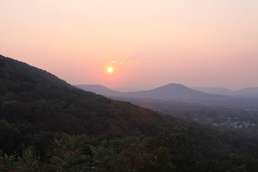
Orange Sky at Night - Reflecting Clouds

Black-bellied Whistling Ducks (Dendrocygna autumnalis) in PA

Black-bellied Whistling Ducks (Dendrocygna autumnalis) in PA

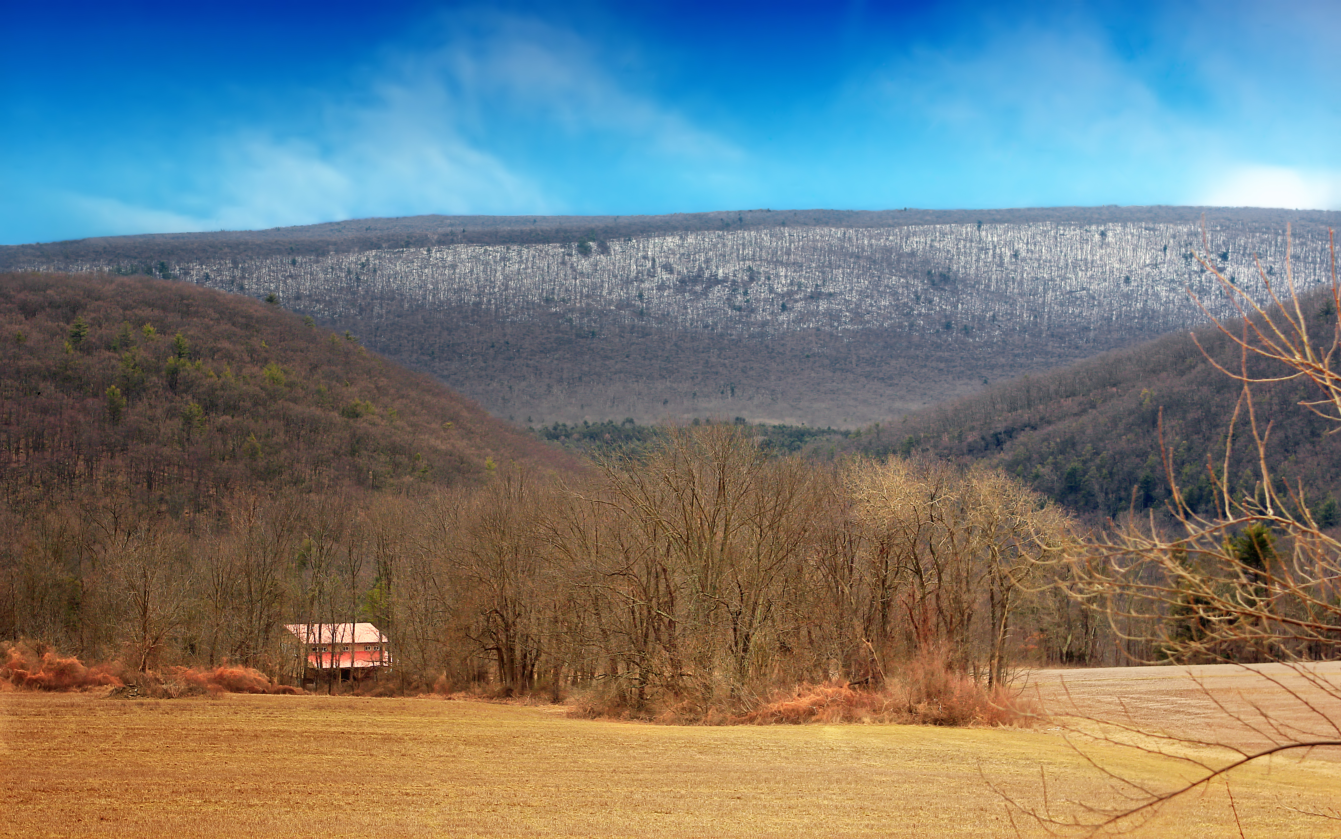
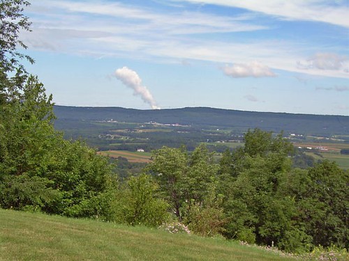
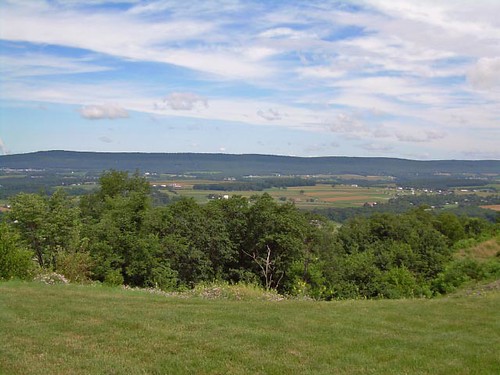
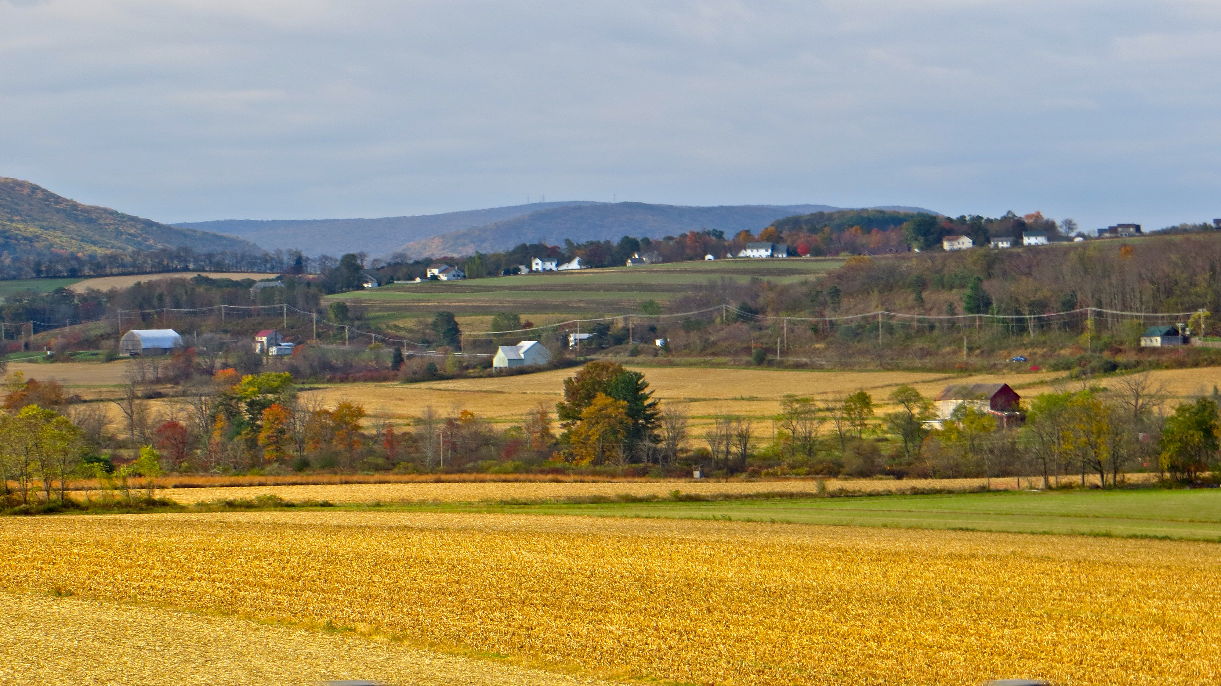
Another view of the Cunningham Valley

2011-05-06 16.13.19
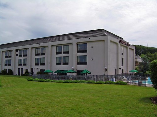
View of Hampton Inn

view from Lookout Mountain
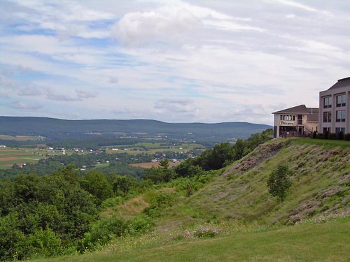
View from Hampton Inn
View from the Eagle Rock

View From Our Window — Hazleton

Panorama of the Cunningham Valley outside Hazleton PA
View from Hampton Inn

Looking over the Cunningham Valley
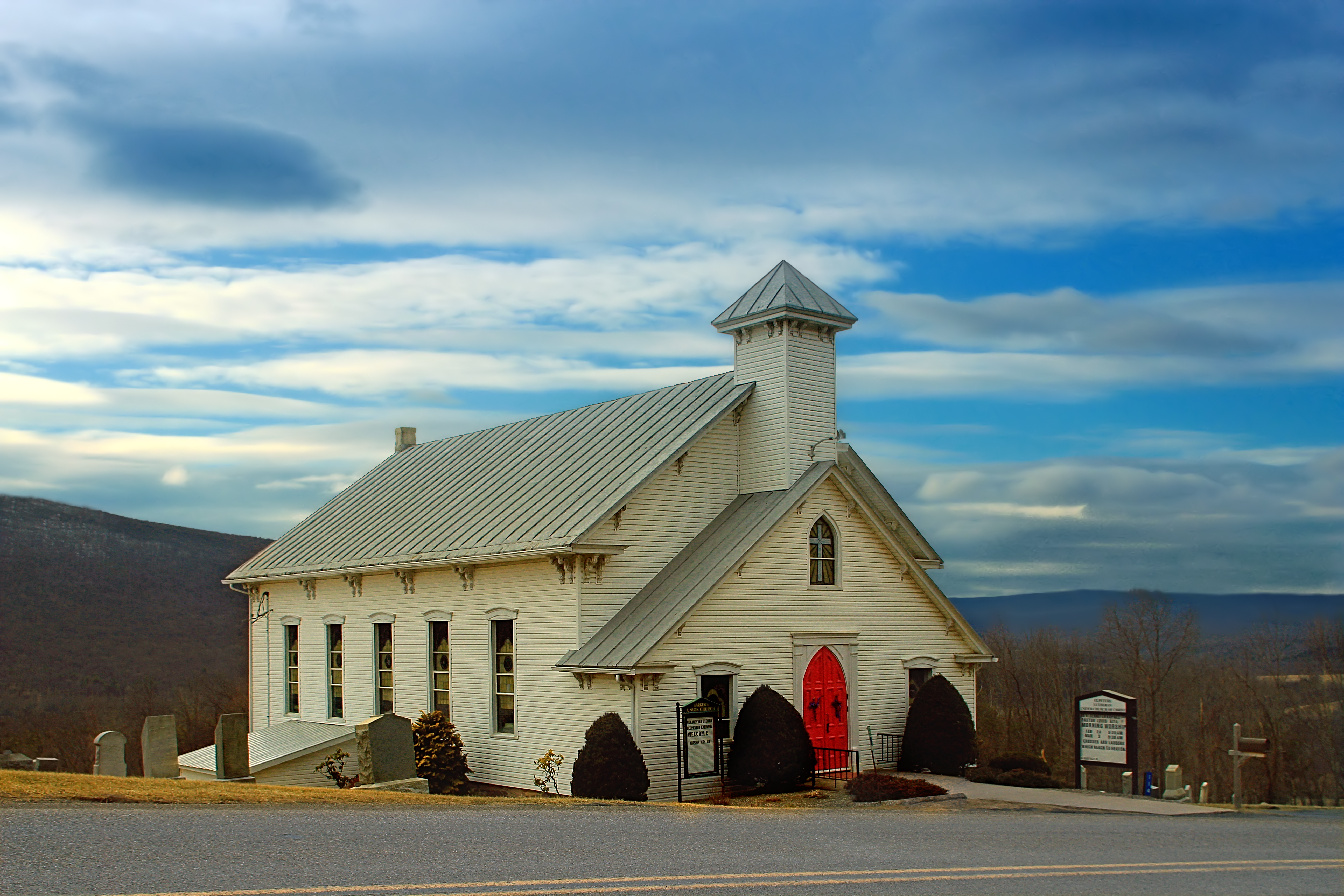
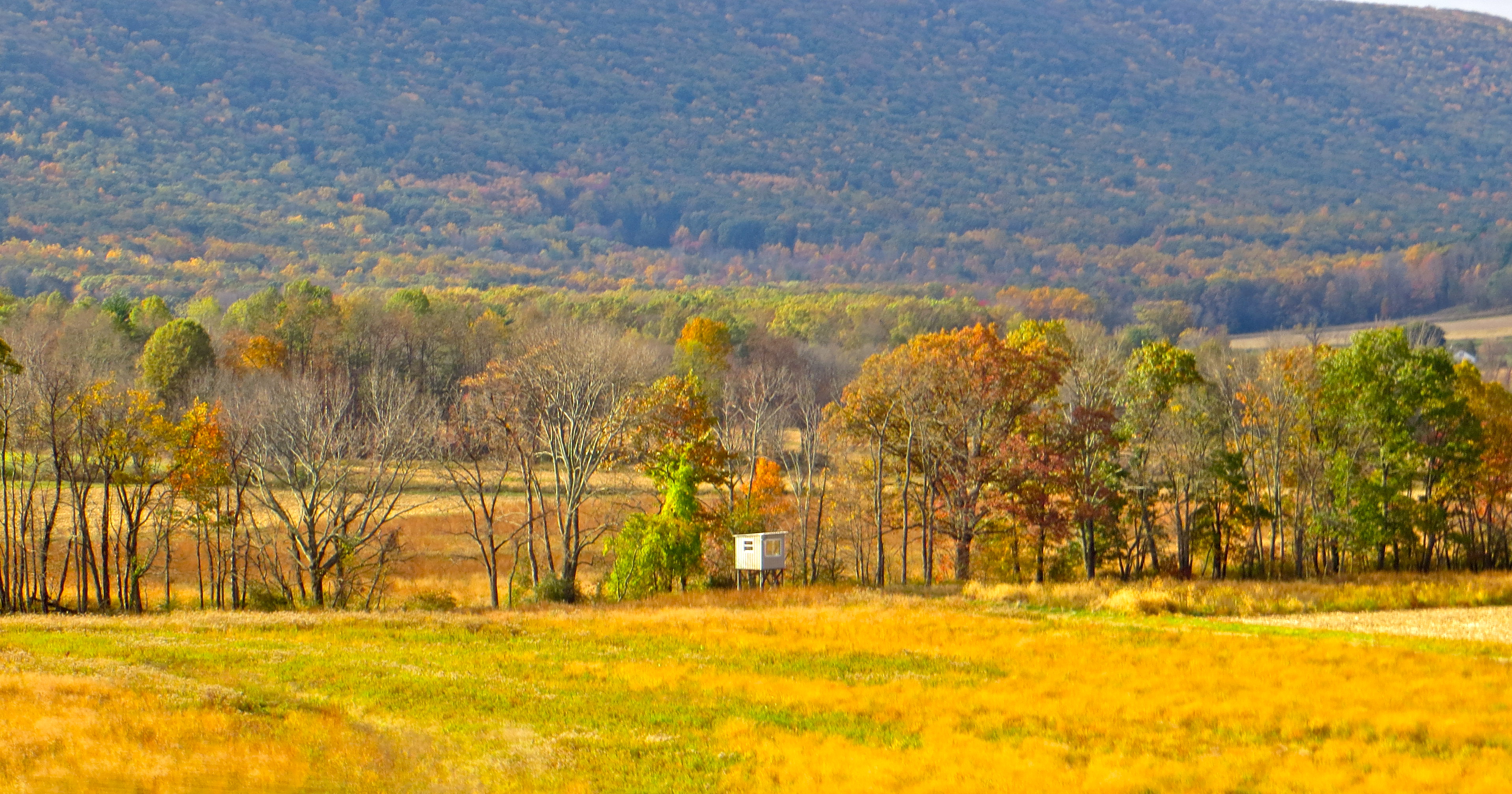
Ridge and Valley
WHITE SHIMMER

Beach funtime!
Farms near Mifflin, PA
Farm near Mifflin, PA
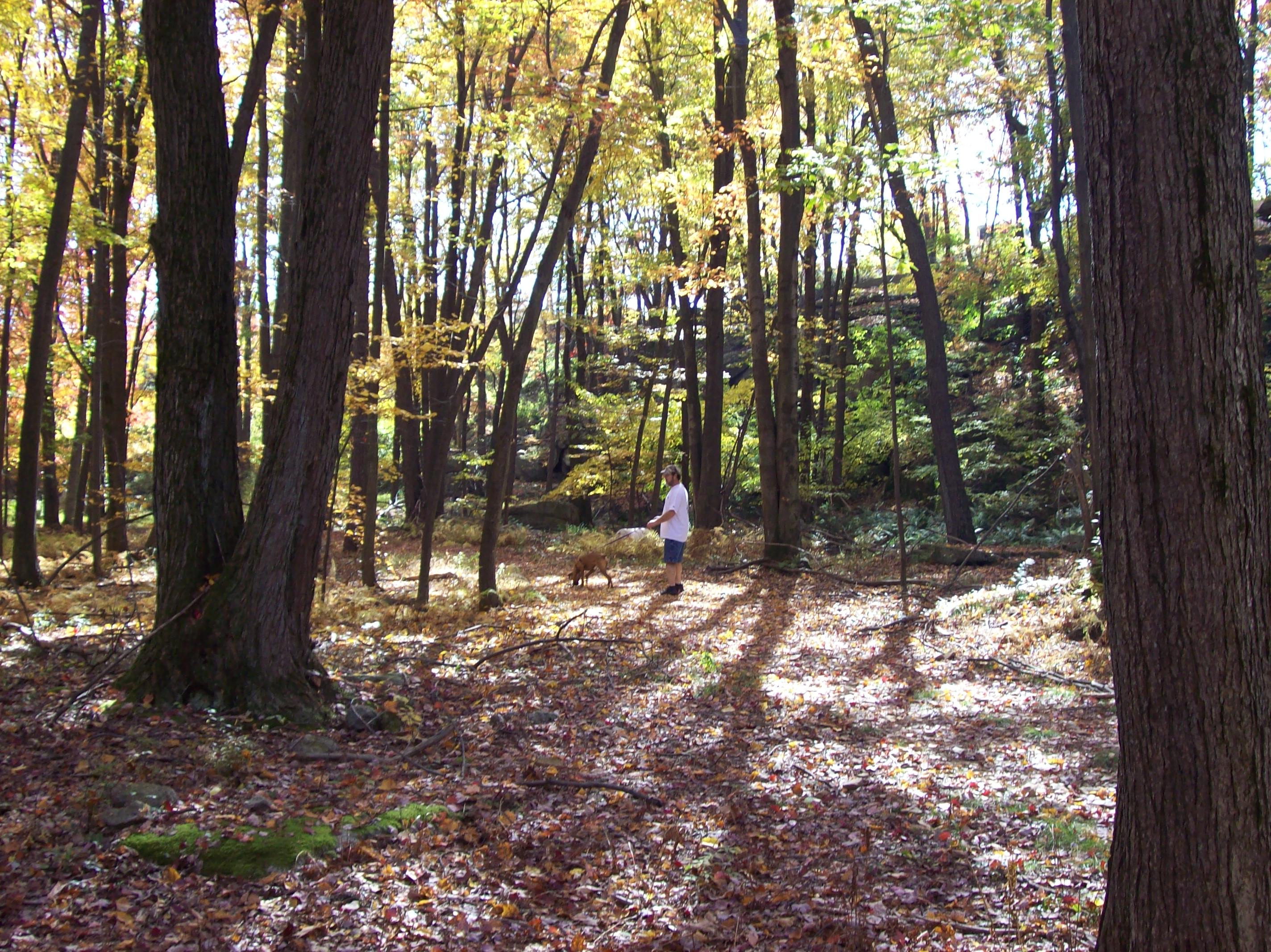
boxer hahs walk019
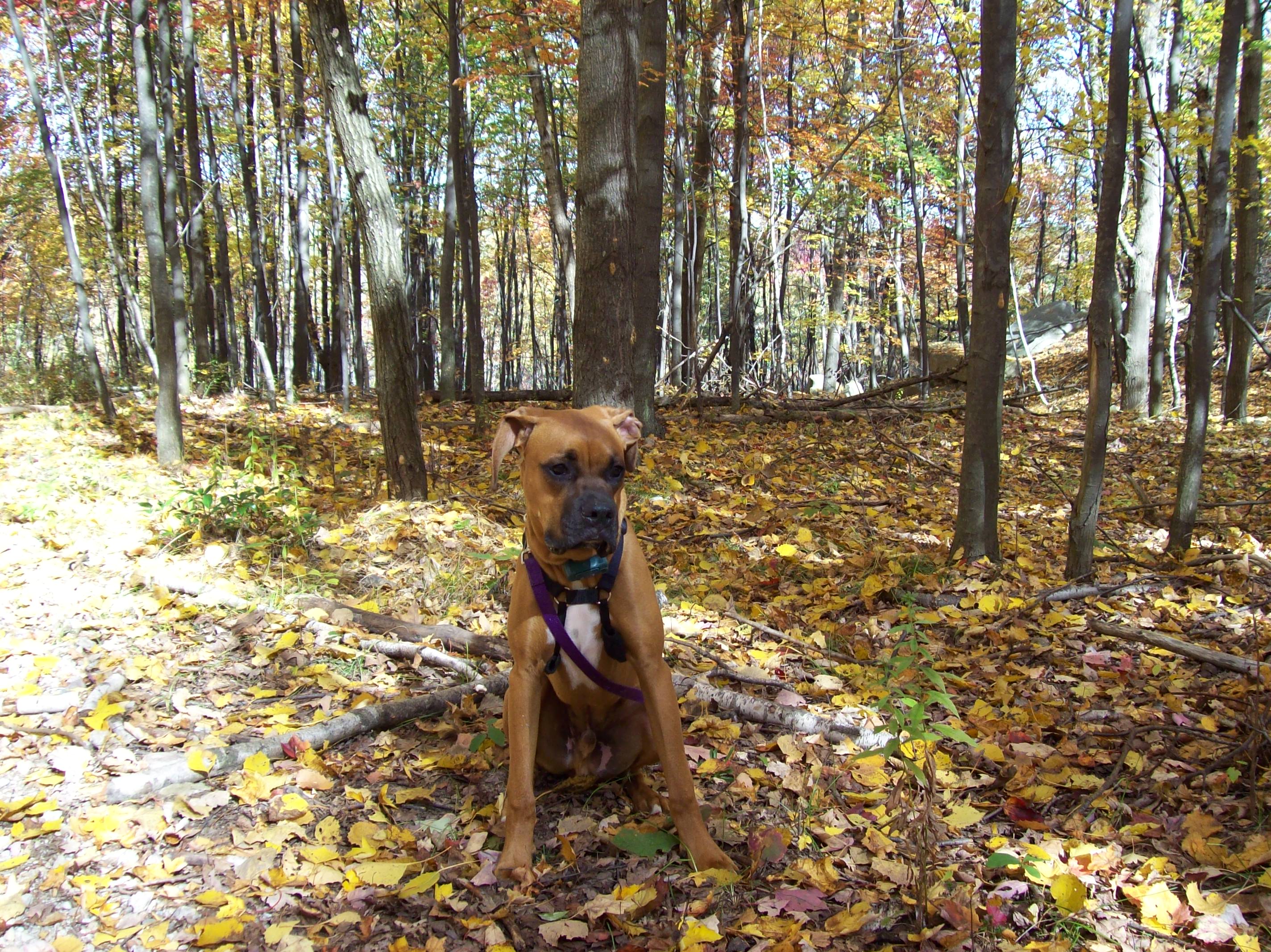
boxer hahs walk008
boxer hahs walk010
Look at this!
wedding day I and II 222
boxer hahs walk018

Landscape_041711_LR_1-1.jpg

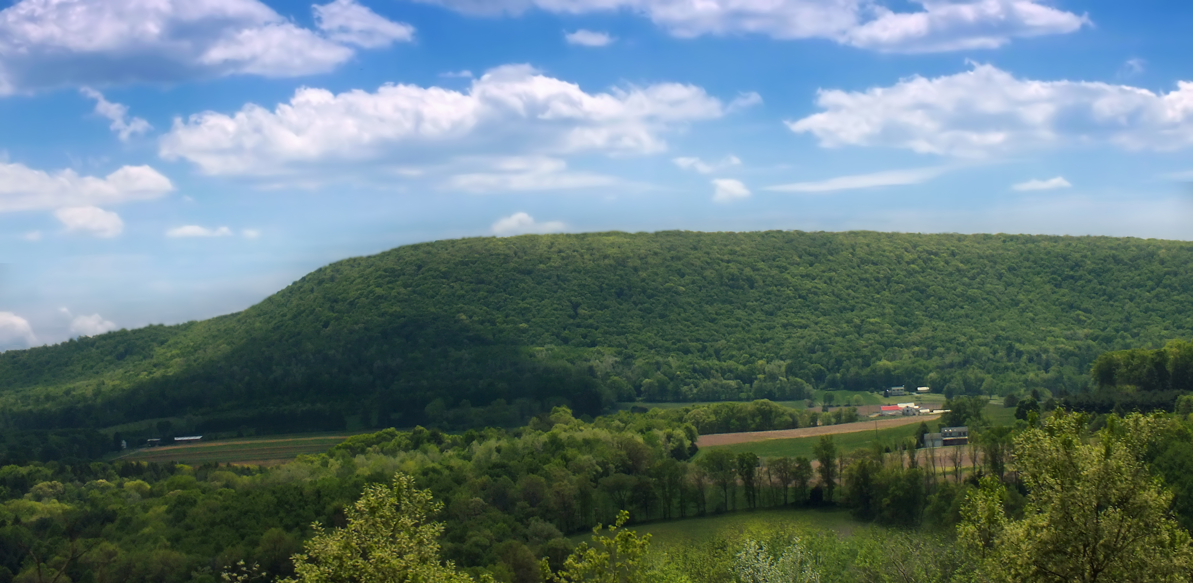
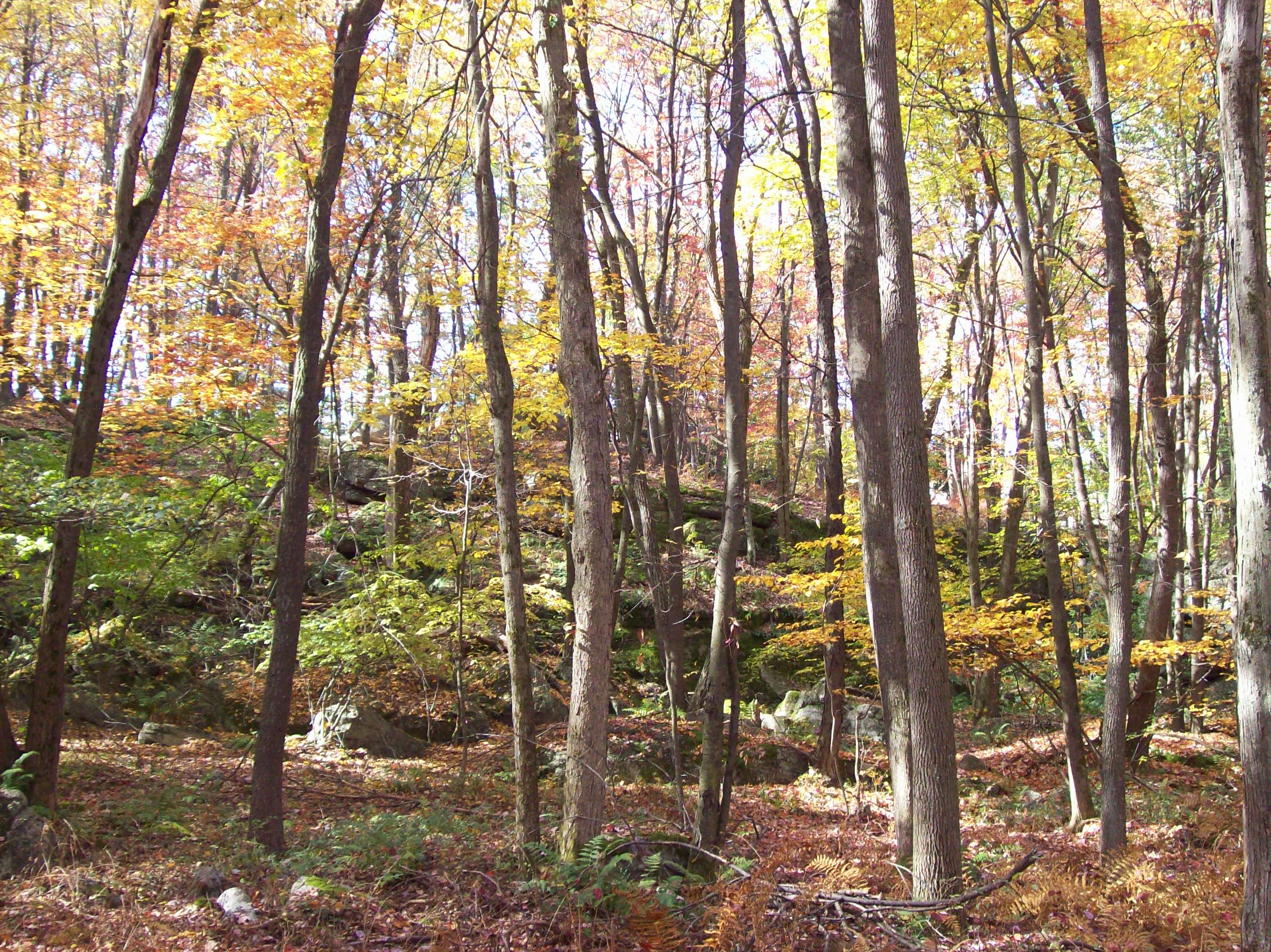
Hazelton Valley PA

Landscape_041711_LR_1-2.jpg

G'morning!

big parking lot
042 January 18 2013 hike
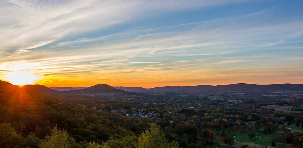
The Conygham Valley
Topographic Map of Rock Glen Rd, Sugarloaf, PA, USA
Find elevation by address:

Places near Rock Glen Rd, Sugarloaf, PA, USA:
865 Rock Glen Rd
865 Rock Glen Rd
Black Creek Township
543 Cedar Head Rd
Sugarloaf
Nescopeck Township
Zenith Rd, Nescopeck, PA, USA
Sugarloaf Township
96 Old Mountain Rd
Nescopeck
West 4th Street
316 East 4th Street
316 East 4th Street
228 Powder Glen Rd
Wapwallopen
Berwick
Conyngham
102 Faith Rd
220 E County Rd
121g-1
Recent Searches:
- Elevation of Groblershoop, South Africa
- Elevation of Power Generation Enterprises | Industrial Diesel Generators, Oak Ave, Canyon Country, CA, USA
- Elevation of Chesaw Rd, Oroville, WA, USA
- Elevation of N, Mt Pleasant, UT, USA
- Elevation of 6 Rue Jules Ferry, Beausoleil, France
- Elevation of Sattva Horizon, 4JC6+G9P, Vinayak Nagar, Kattigenahalli, Bengaluru, Karnataka, India
- Elevation of Great Brook Sports, Gold Star Hwy, Groton, CT, USA
- Elevation of 10 Mountain Laurels Dr, Nashua, NH, USA
- Elevation of 16 Gilboa Ln, Nashua, NH, USA
- Elevation of Laurel Rd, Townsend, TN, USA