Elevation of Rock Creek Rd, Emigrant, MT, USA
Location: United States > Montana > Park County > Emigrant >
Longitude: -110.95505
Latitude: 45.215708
Elevation: 1919m / 6296feet
Barometric Pressure: 80KPa
Elevation Map:
Satellite Map:
Related Photos:
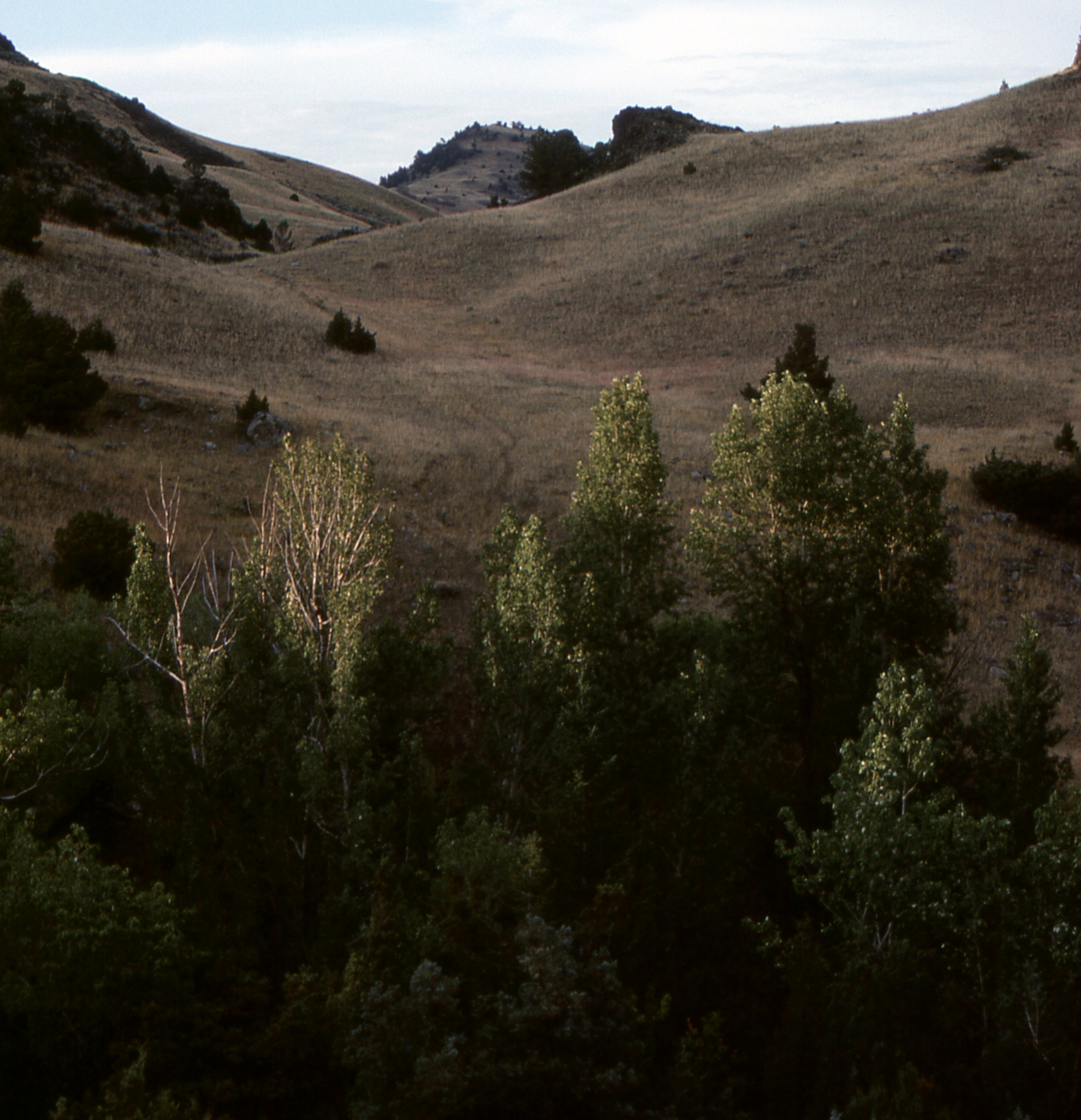
Dome Mountain from 48 Rock Creek South Road, Emigrant, MT Sliprock view
View of Paradise Valley from Sliprock

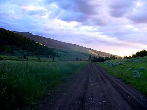
48 Rock Creek South, Emigrant, MT View Rock Creek drainage from Sliprock
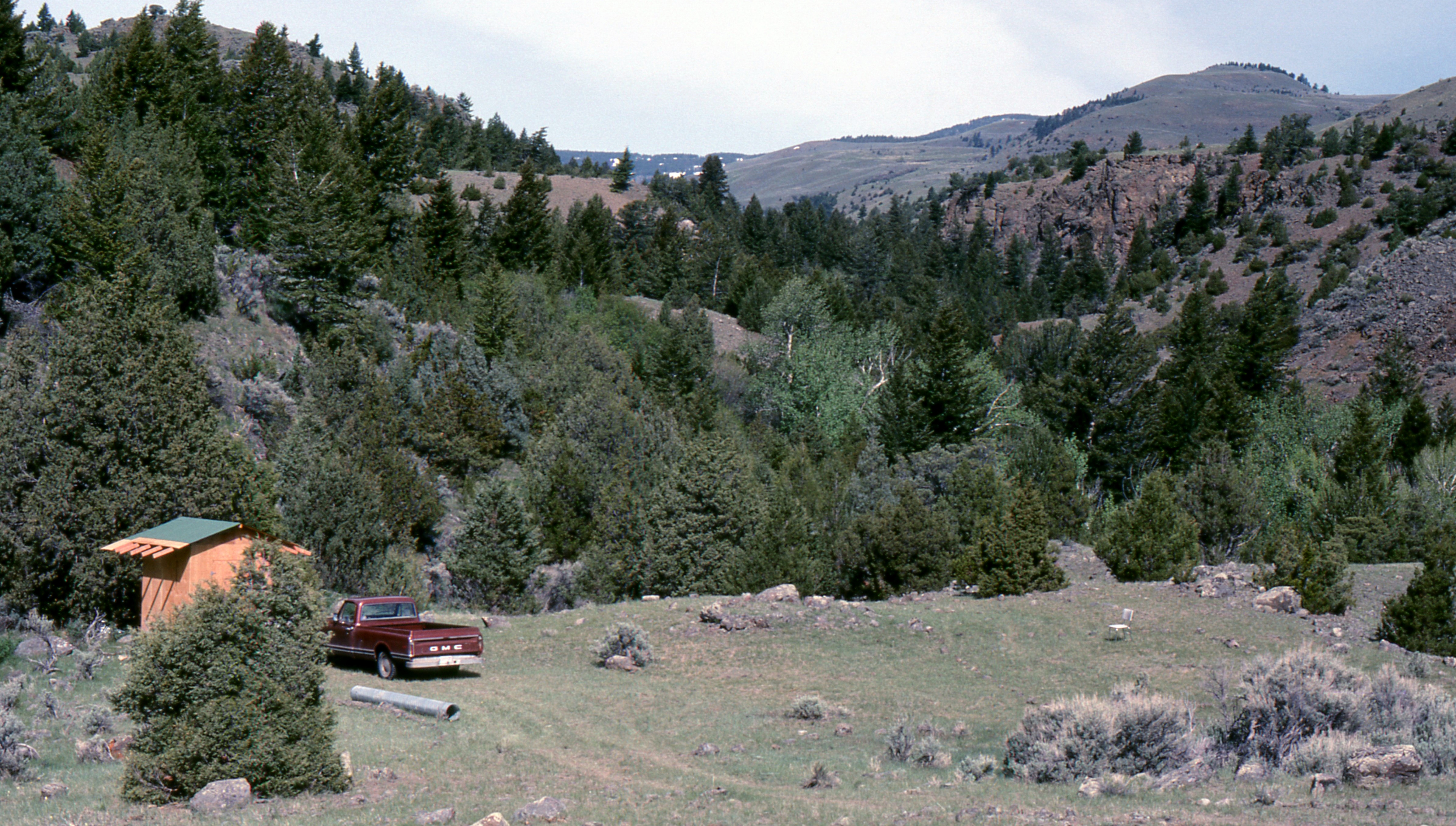
Tom Miner valley, 4th of July 2004
Picture 432
View from Sliprock
Course photo
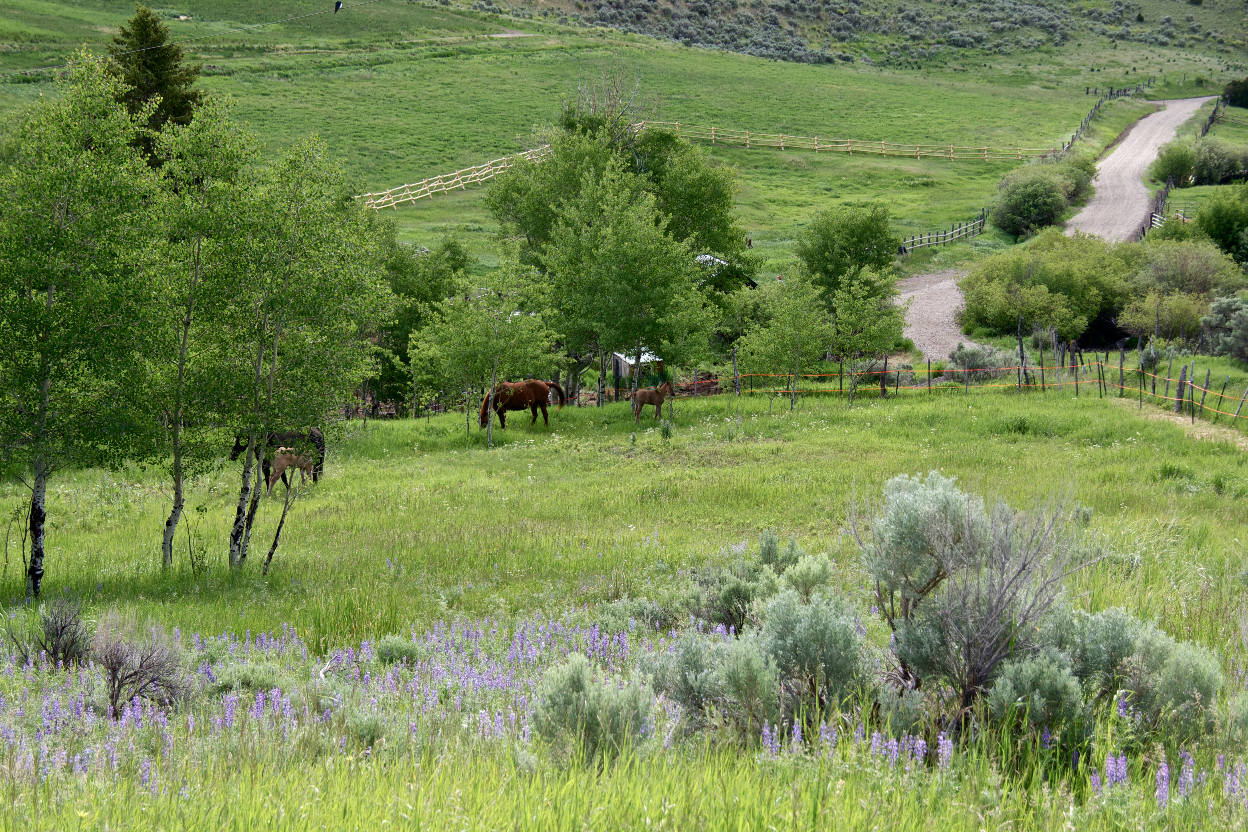
Mare and Foal pasture
Serious view of Rock Creek
48 Rock Creek South Road, Emigrant, MT, Sliprock view across Rock Creek
48 Rock Creek South Road, Emigrant, MT, Sliprock view across Rock Creek
48 Rock Creek South Road, Emigrant, MT Sliprock and Rock Creek drainage view
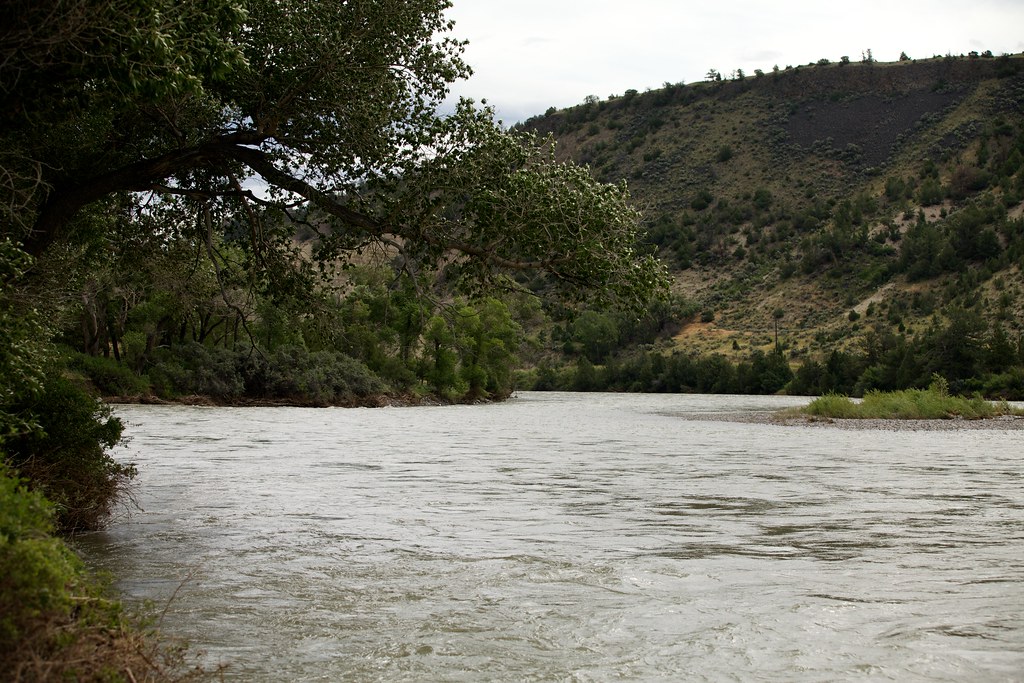
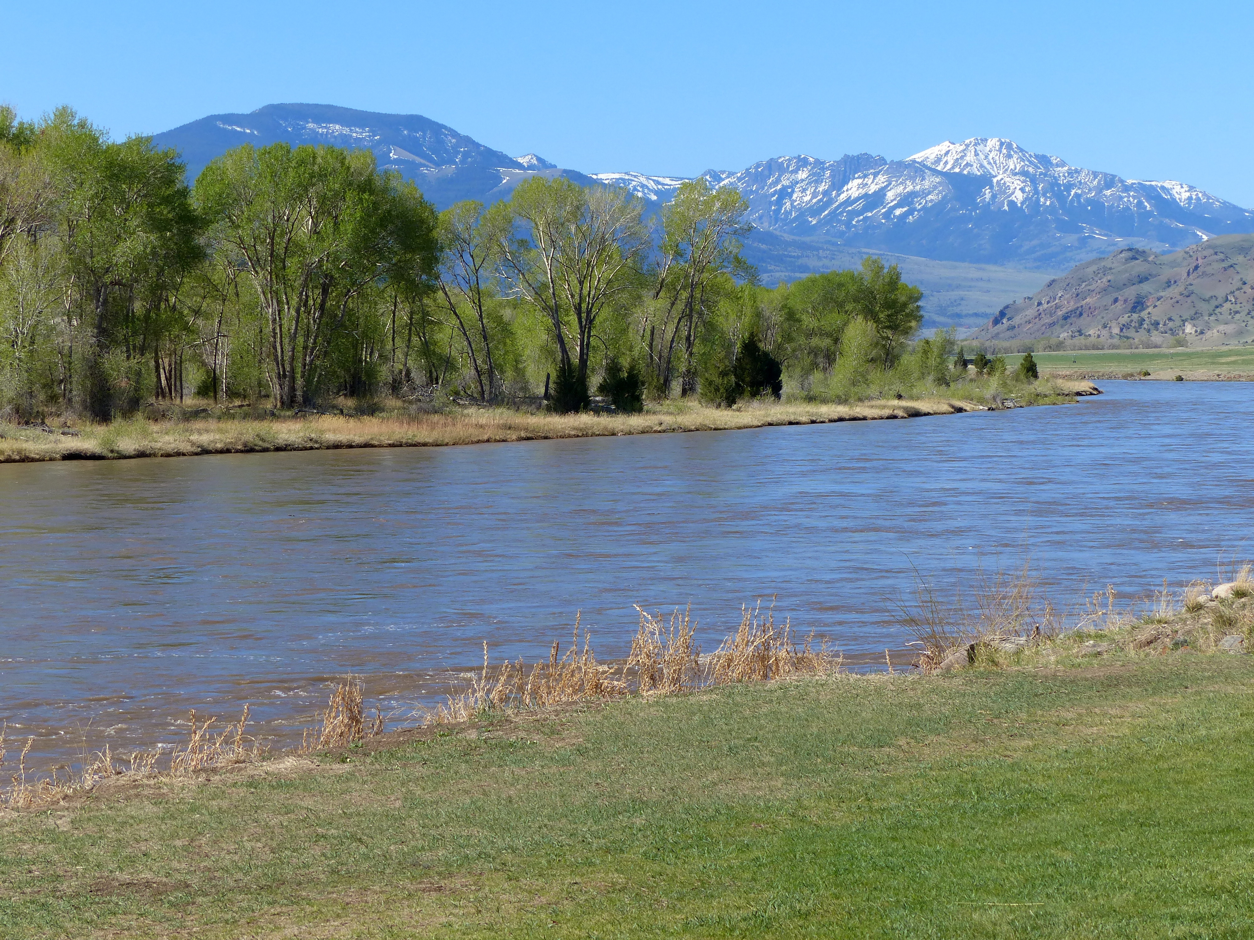
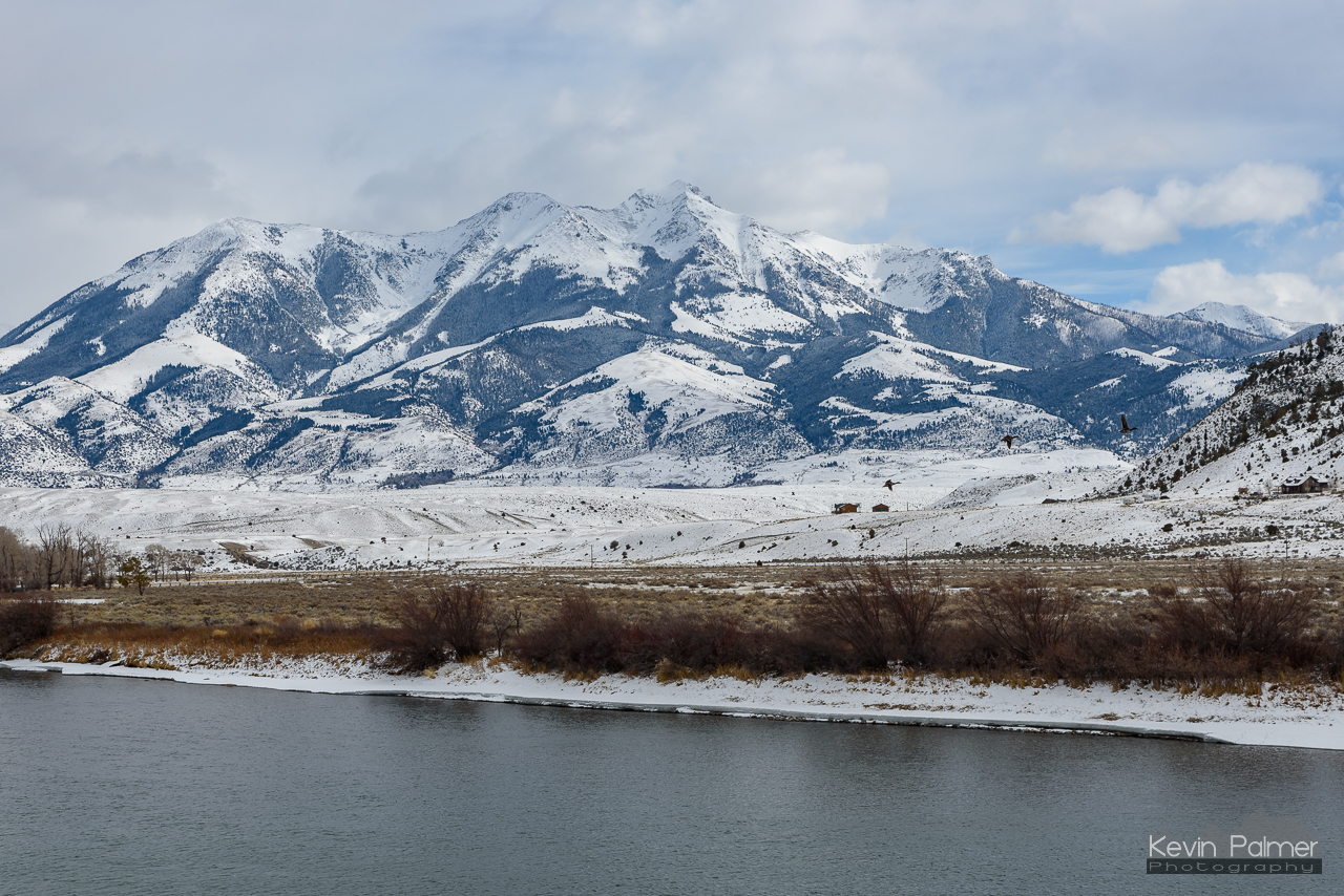
The Yellowstone River

At 9885 ft above sea level
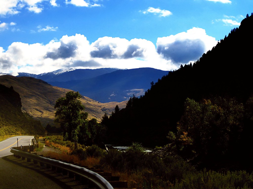
Approaching Yellowstone
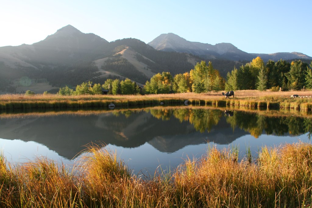
pond at B Bar
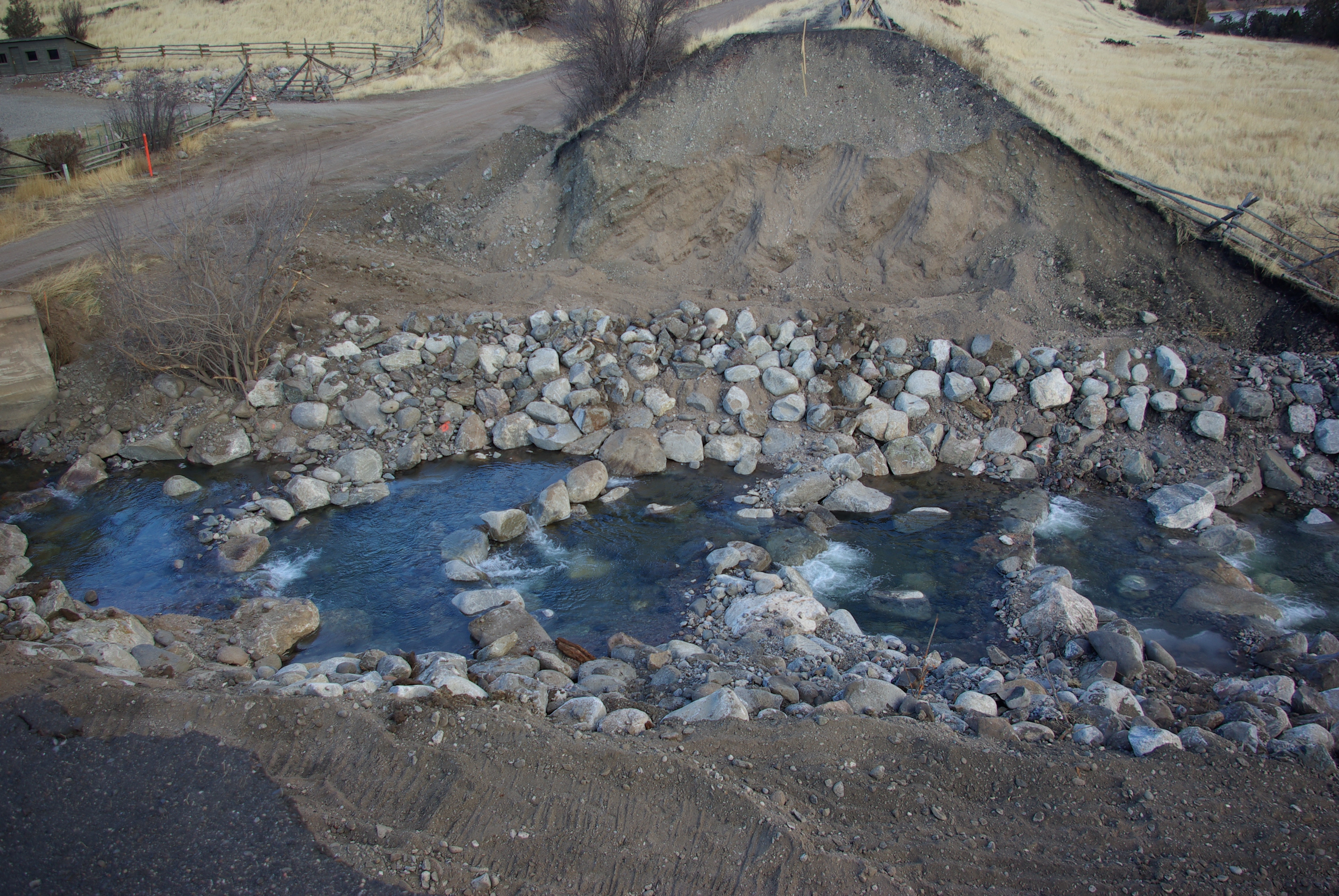
Rock Creek Culvert Removed
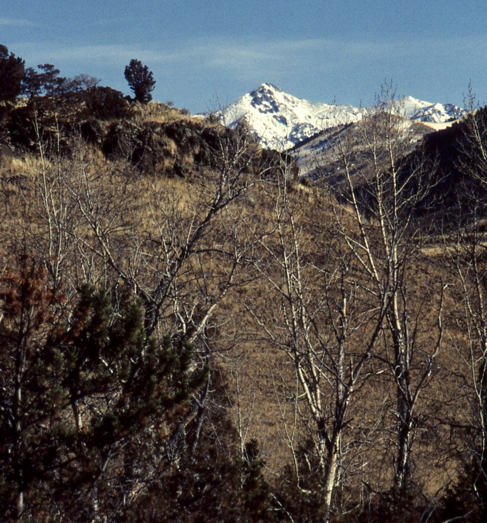
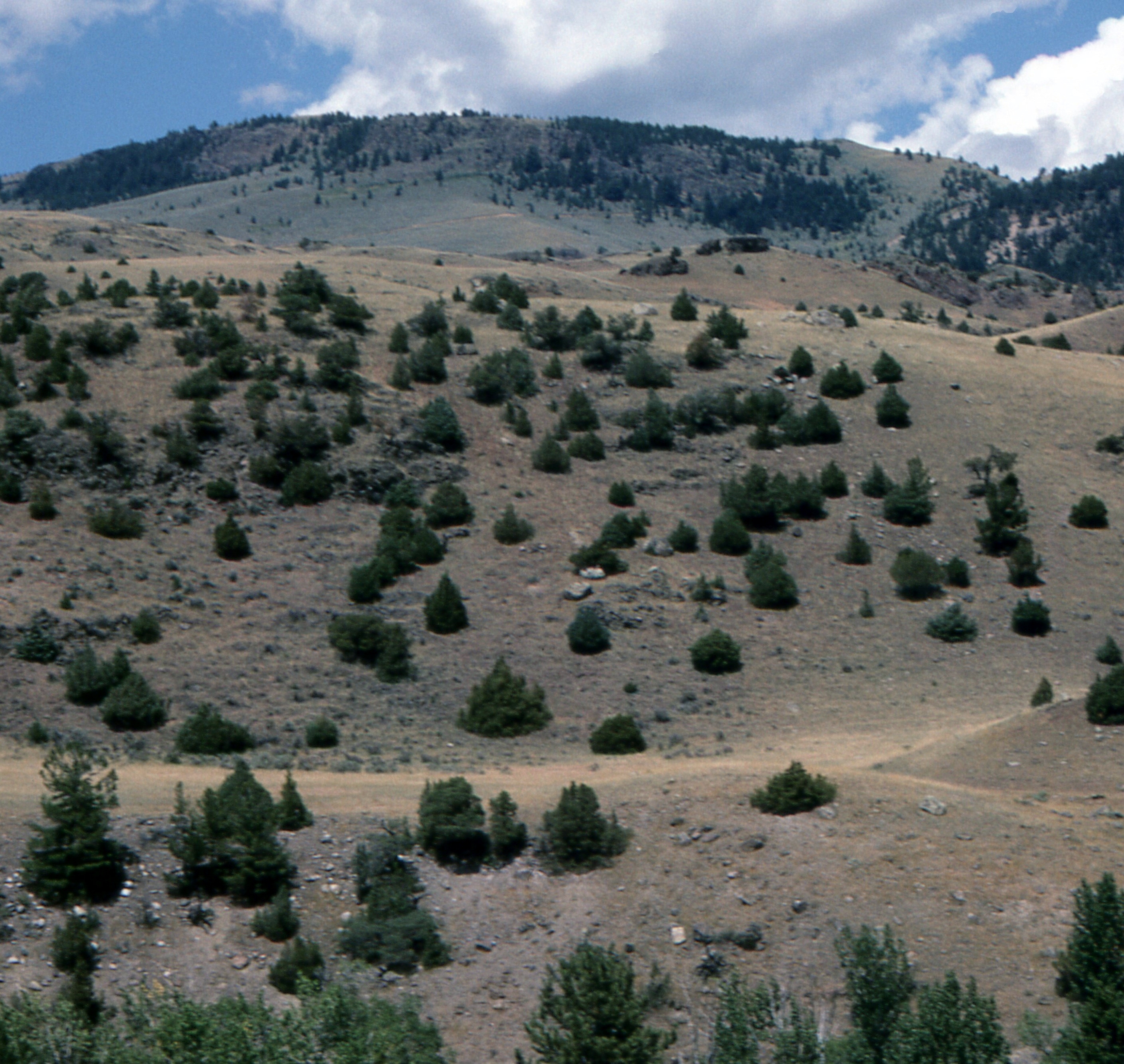
Between Dome and Sphinx Mountains
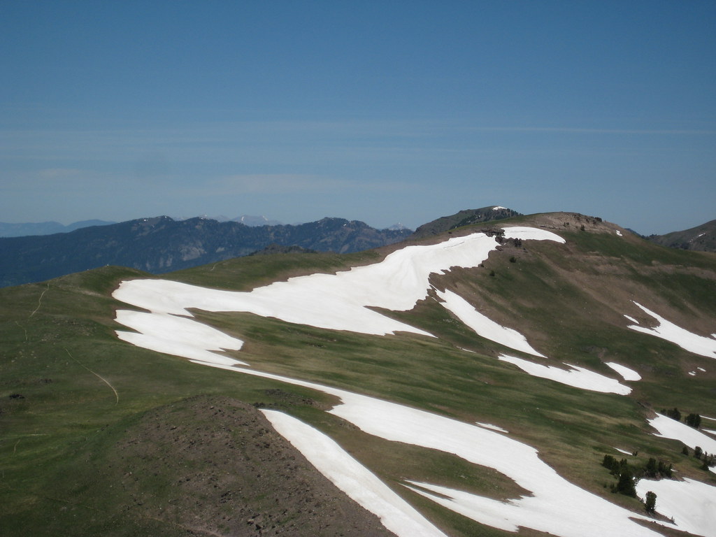
Gallatin Crest
Gallatin Range
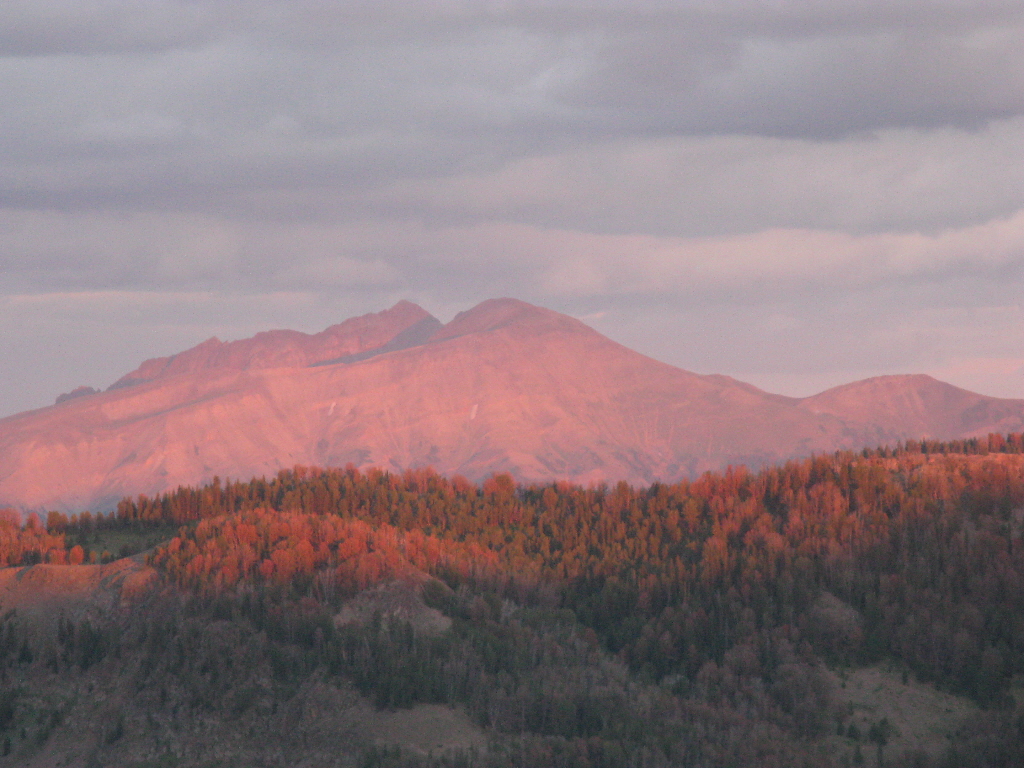
Absaroka Mountain Range, Paradise Valley from Sliprock, 48 Rock Creek South Road
Picture 425
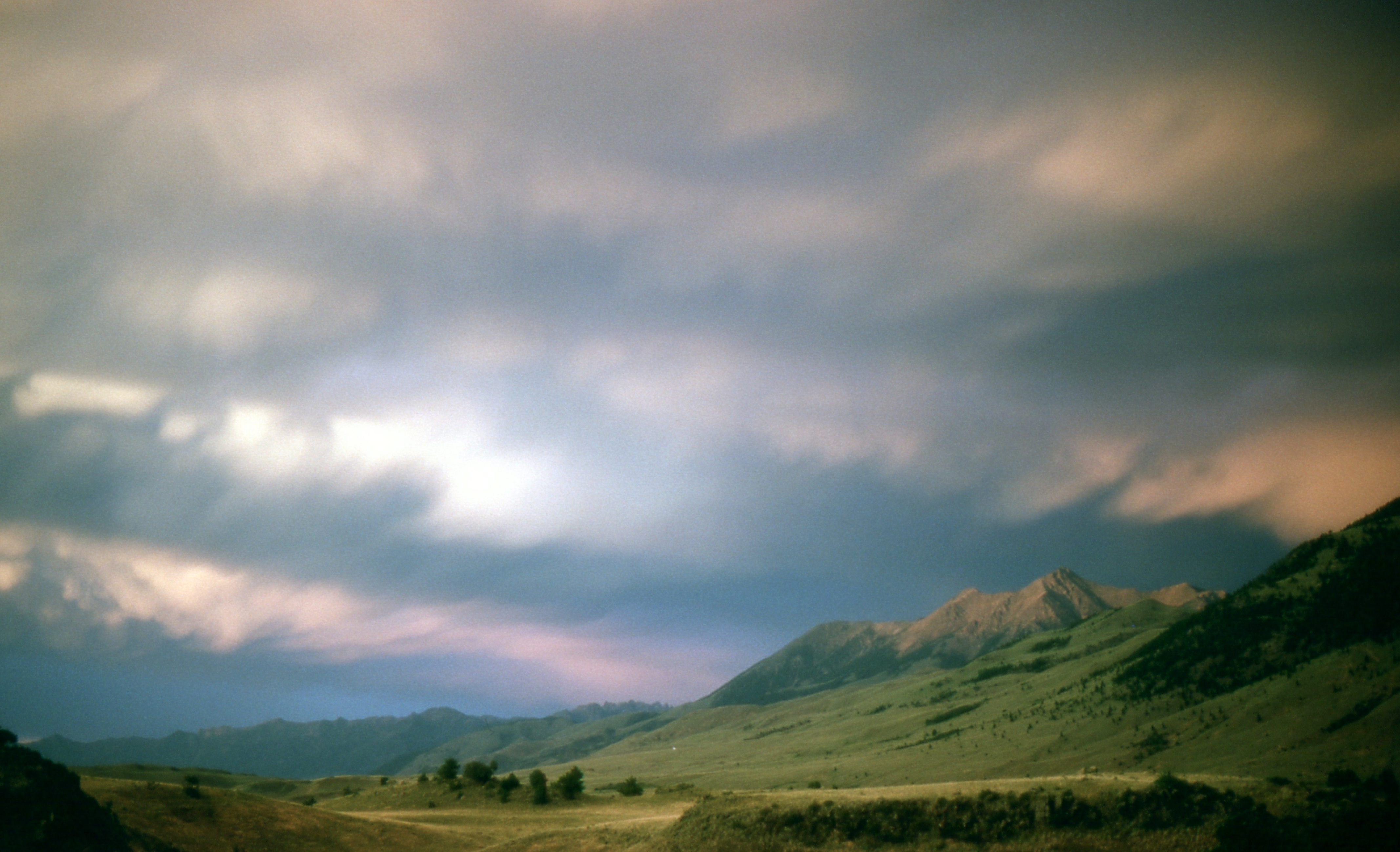
Absaroka Mountains from 48 Rock Creek South Road, Emigrant, Sliprock
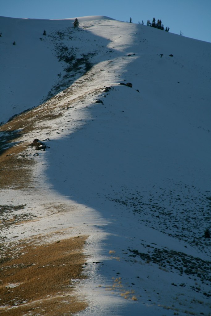
shape upon the mountain
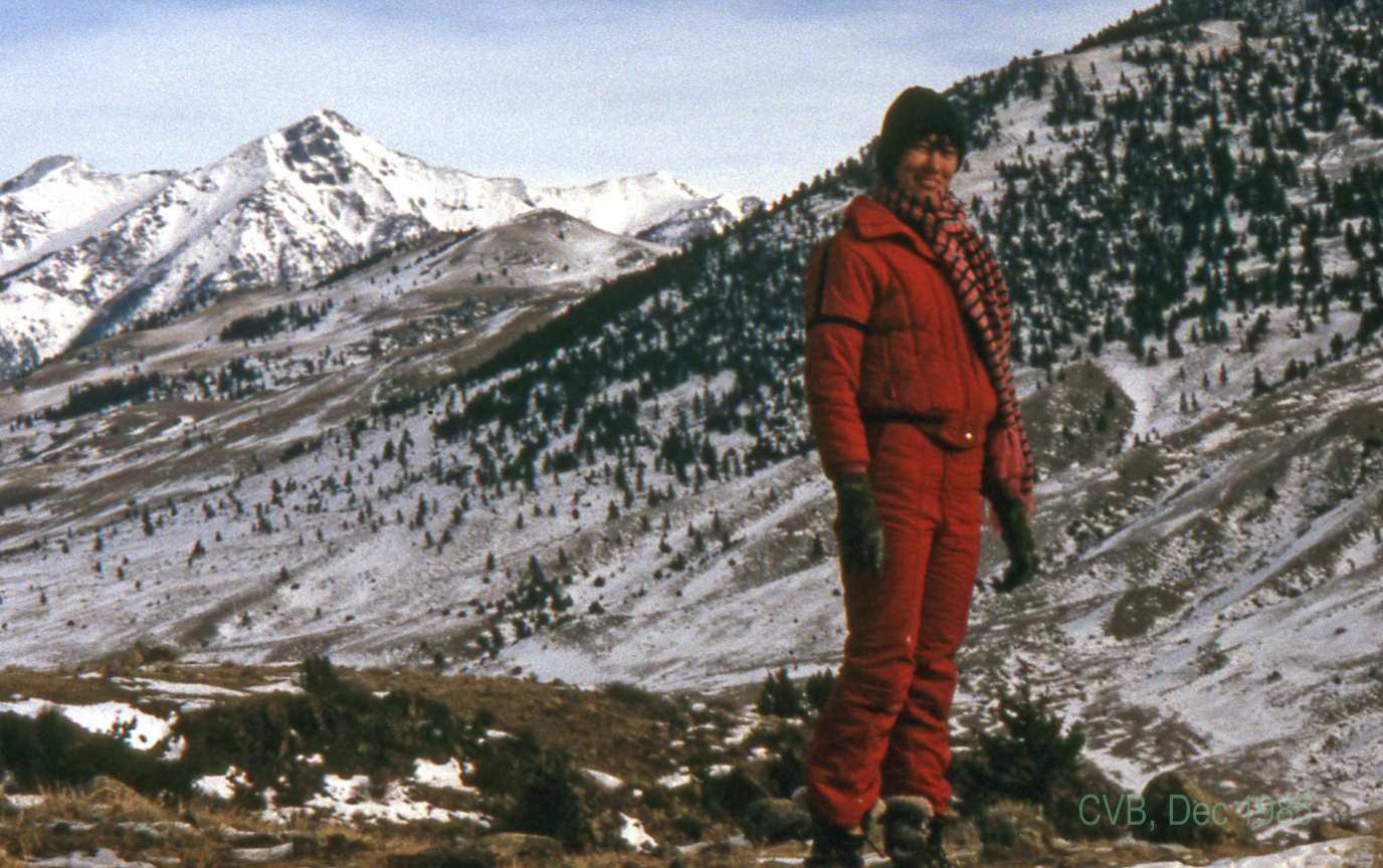
Roxann Van Bockel, 48 Rock Creek South Road, Emigrant, MT, Sliprock, Dec 85, 036
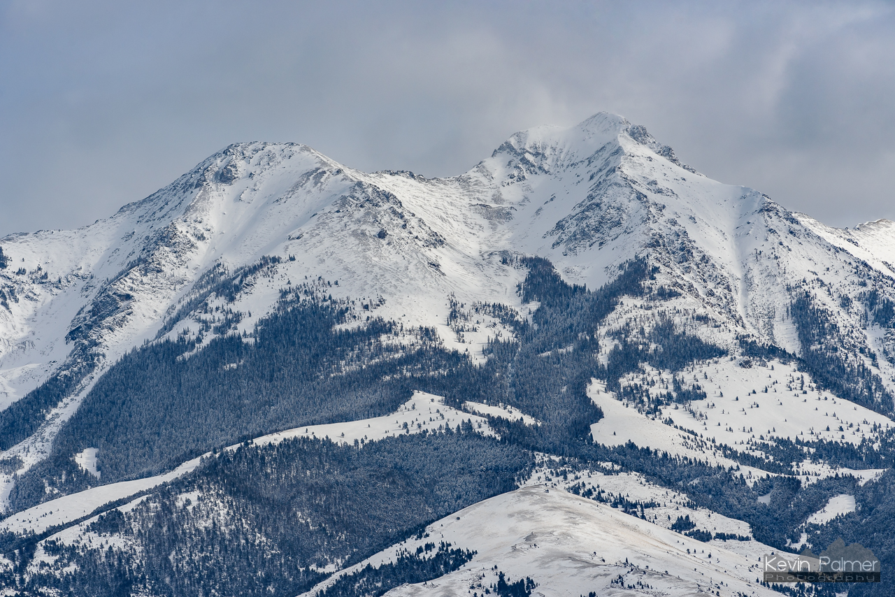
Emigrant Peak

Lots of Yellow Clover in Rock Creek South by Sliprock
amazing graze

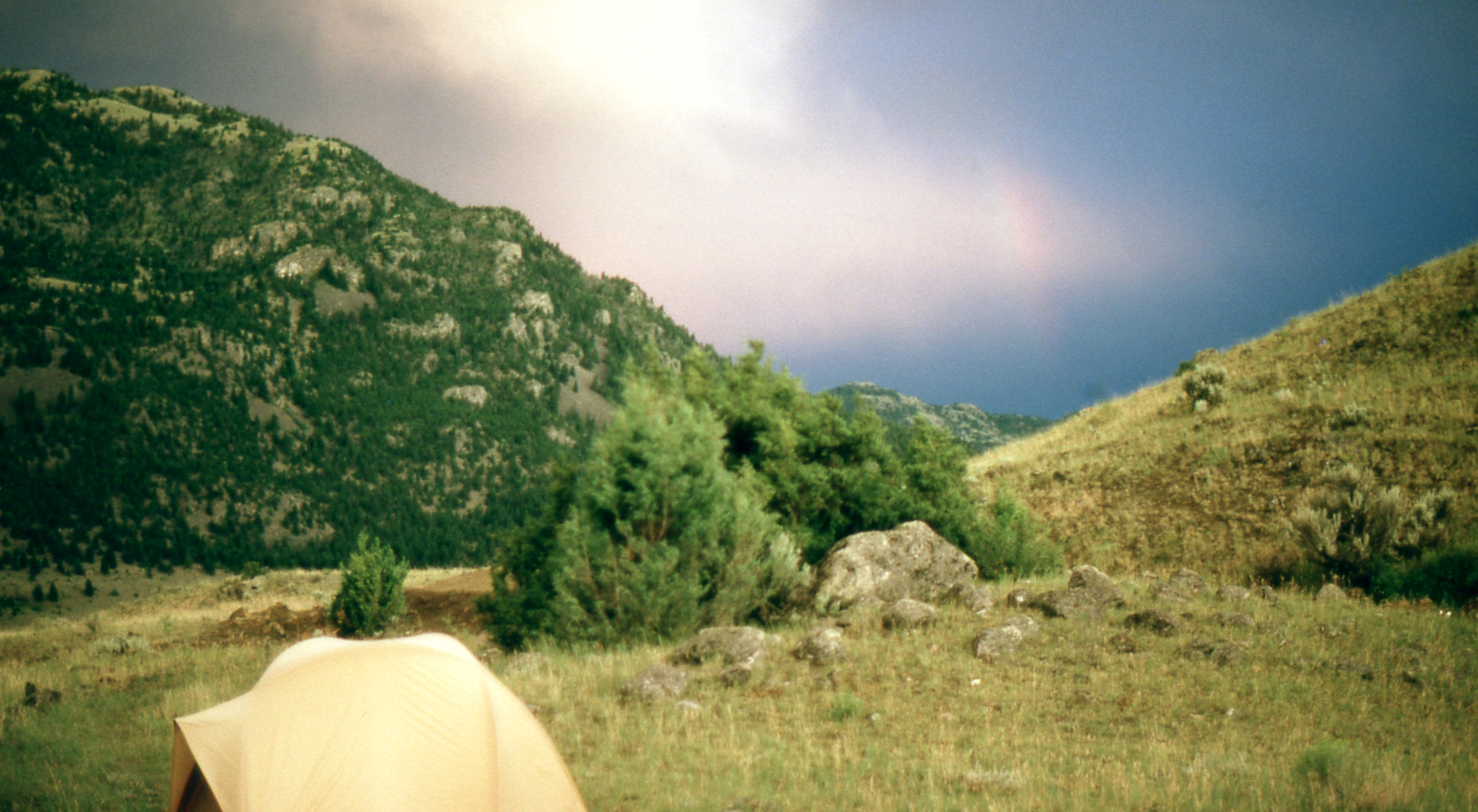
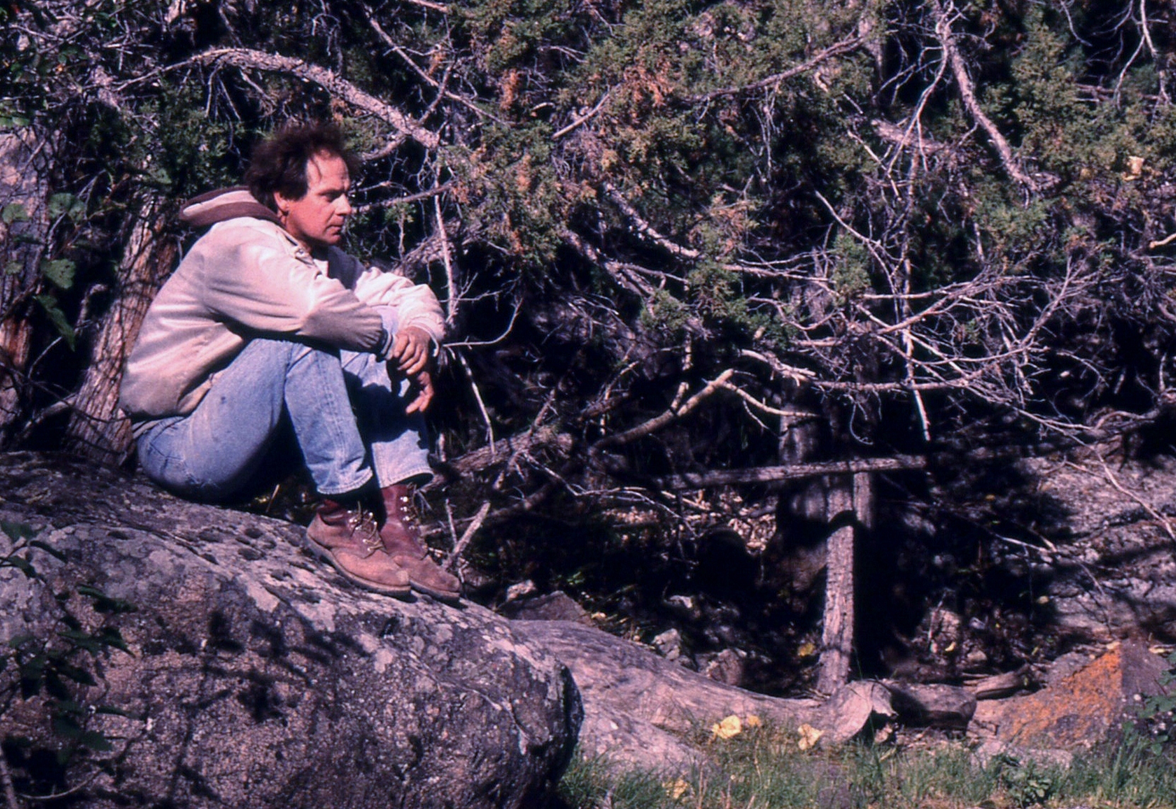
Campfire Hangouts
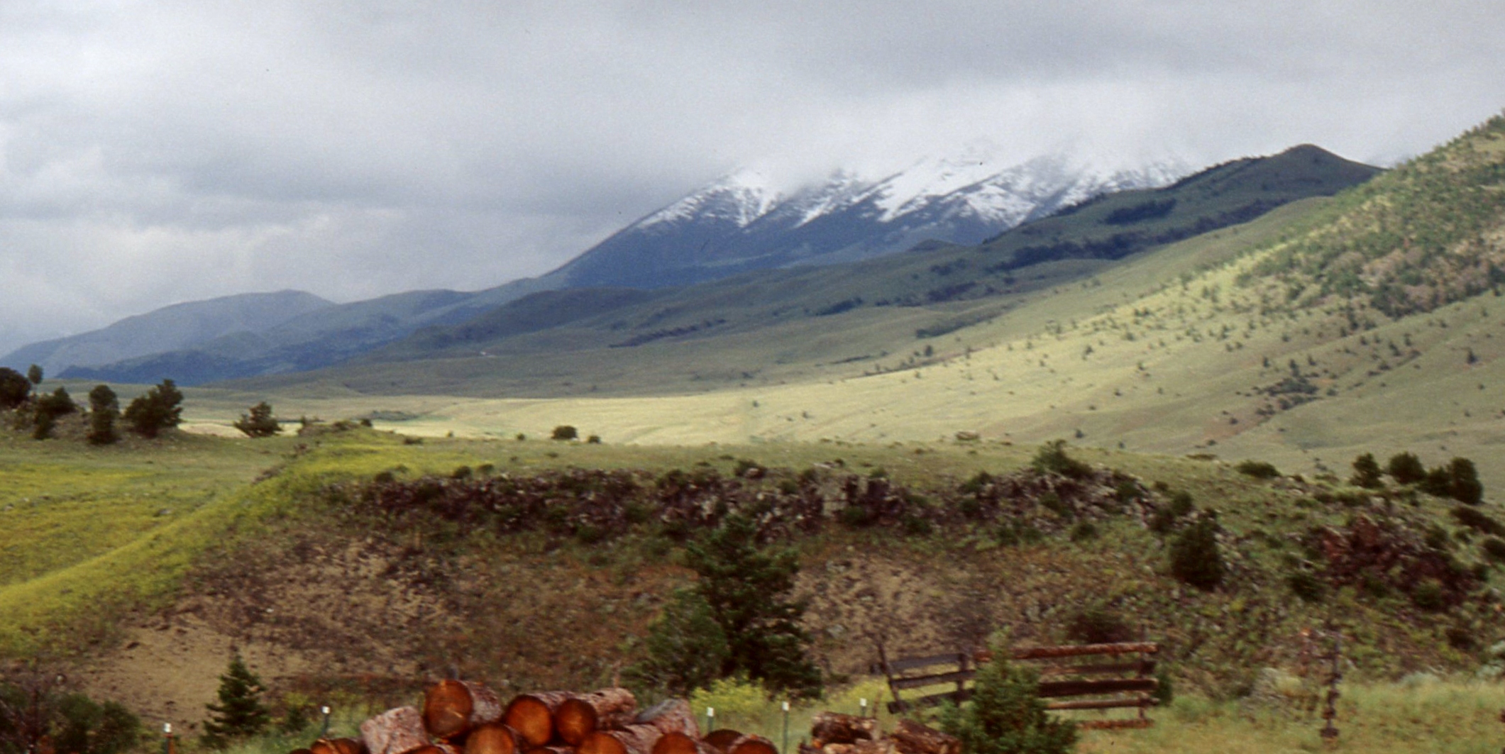
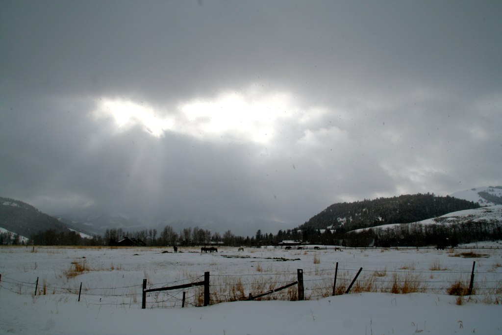
Cold Paradise Valley
Topographic Map of Rock Creek Rd, Emigrant, MT, USA
Find elevation by address:

Places near Rock Creek Rd, Emigrant, MT, USA:
342 Rock Creek Rd
335 Rock Creek Rd
283 Rock Creek Rd
259 Rock Creek Rd
310 Grizzly Meadow Rd
364 Grizzly Meadow Rd
364 Grizzly Meadow Rd
364 Grizzly Meadow Rd
364 Grizzly Meadow Rd
Grizzly Meadow Road
Grizzly Meadow Road
Grizzly Meadow Road
286 Tom Miner Creek Rd
Hubbard's Yellowstone Lodge
Miner
975 Tom Miner Creek Rd
175 Tom Miner Creek Rd
2 Polaris Way
69 Leo Dr
73 Leo Dr
Recent Searches:
- Elevation of S Layton Cir W, Layton, UT, USA
- Elevation of F36W+3M, Mussoorie, Uttarakhand, India
- Elevation of Fairland Ave, Fairhope, AL, USA
- Elevation of Sunset Dr, Richmond, VA, USA
- Elevation of Grodna District, Hrodna Region, Belarus
- Elevation of Hrodna, Hrodna Region, Belarus
- Elevation of Sandia Derby Estates, Tijeras, NM, USA
- Elevation of 23 Sunrise View Ct, Tijeras, NM, USA
- Elevation of Lytham Ln, Katy, TX, USA
- Elevation of Tater Hill, Oklahoma, USA