Elevation of Robson St, Nelson, BC V1L 5A6, Canada
Location: Canada > British Columbia > Central Kootenay > Nelson >
Longitude: -117.28772
Latitude: 49.4864332
Elevation: 639m / 2096feet
Barometric Pressure: 94KPa
Elevation Map:
Satellite Map:
Related Photos:
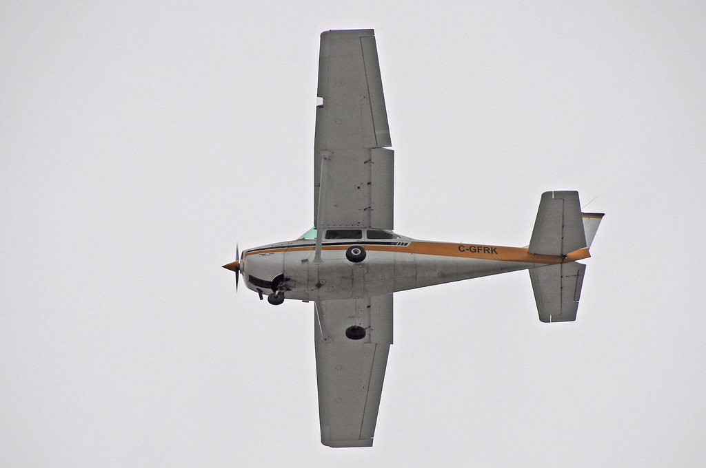
Cessna 172 C-GFRK

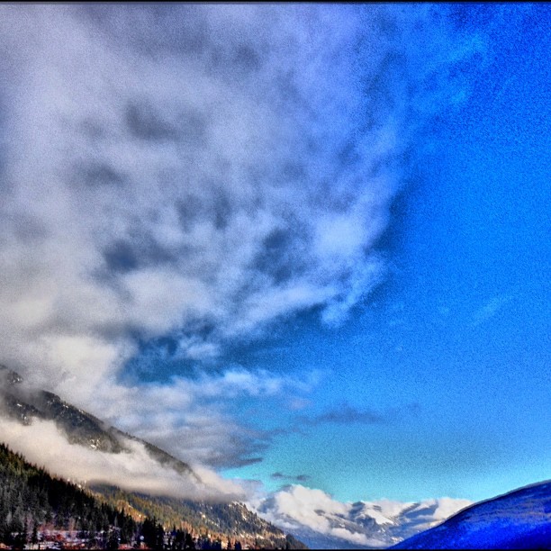
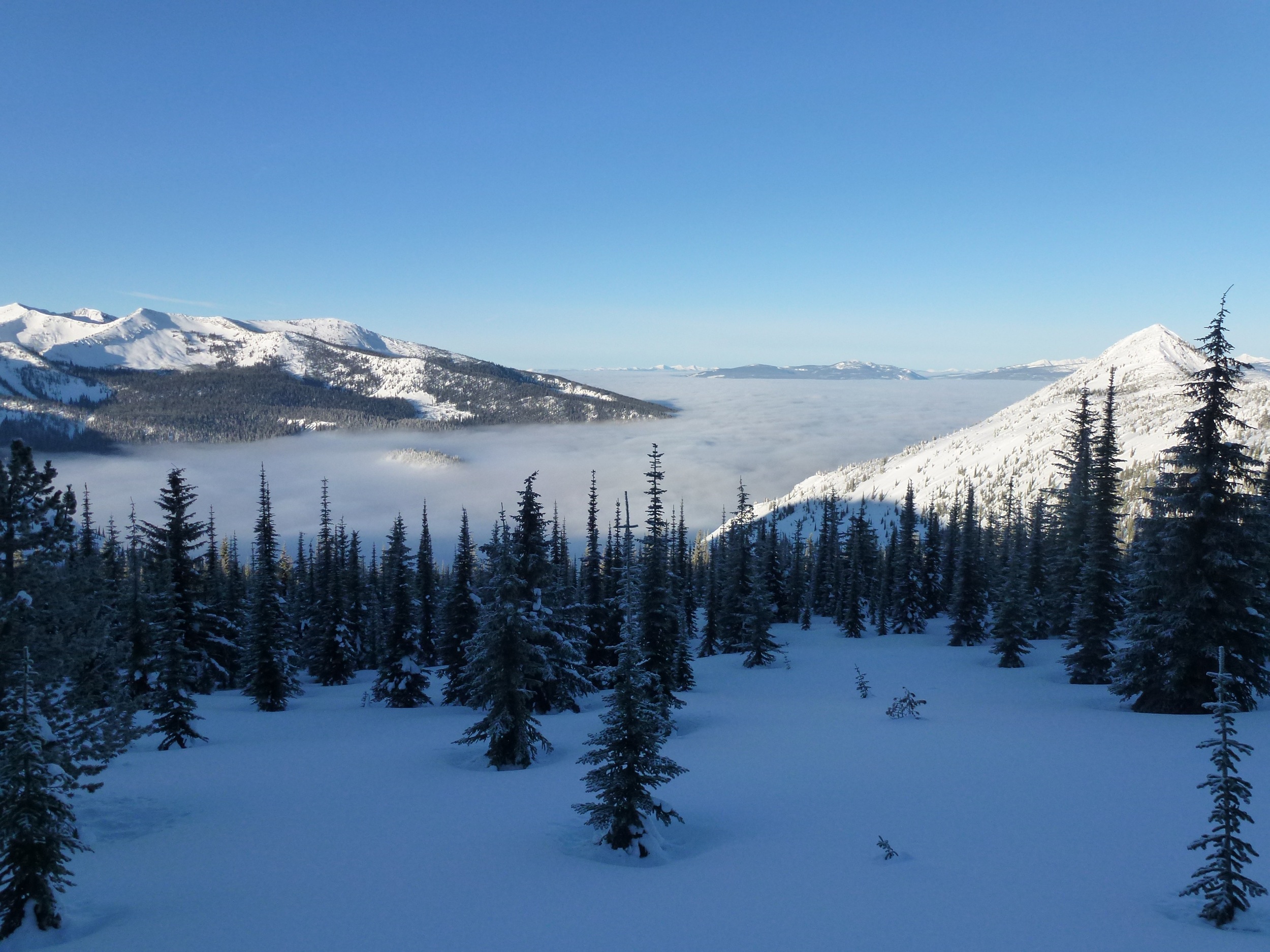
The view from #baldface. #ultranatural #redbull
The View from the Pad
Check out the view from my 'office' this morning. #redbull #ultranatural #bc

Beautiful view on the commute home this afternoon from the #redbull #ultranatural site at in #nelson #bc
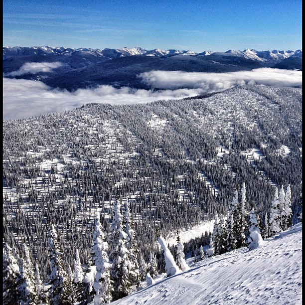
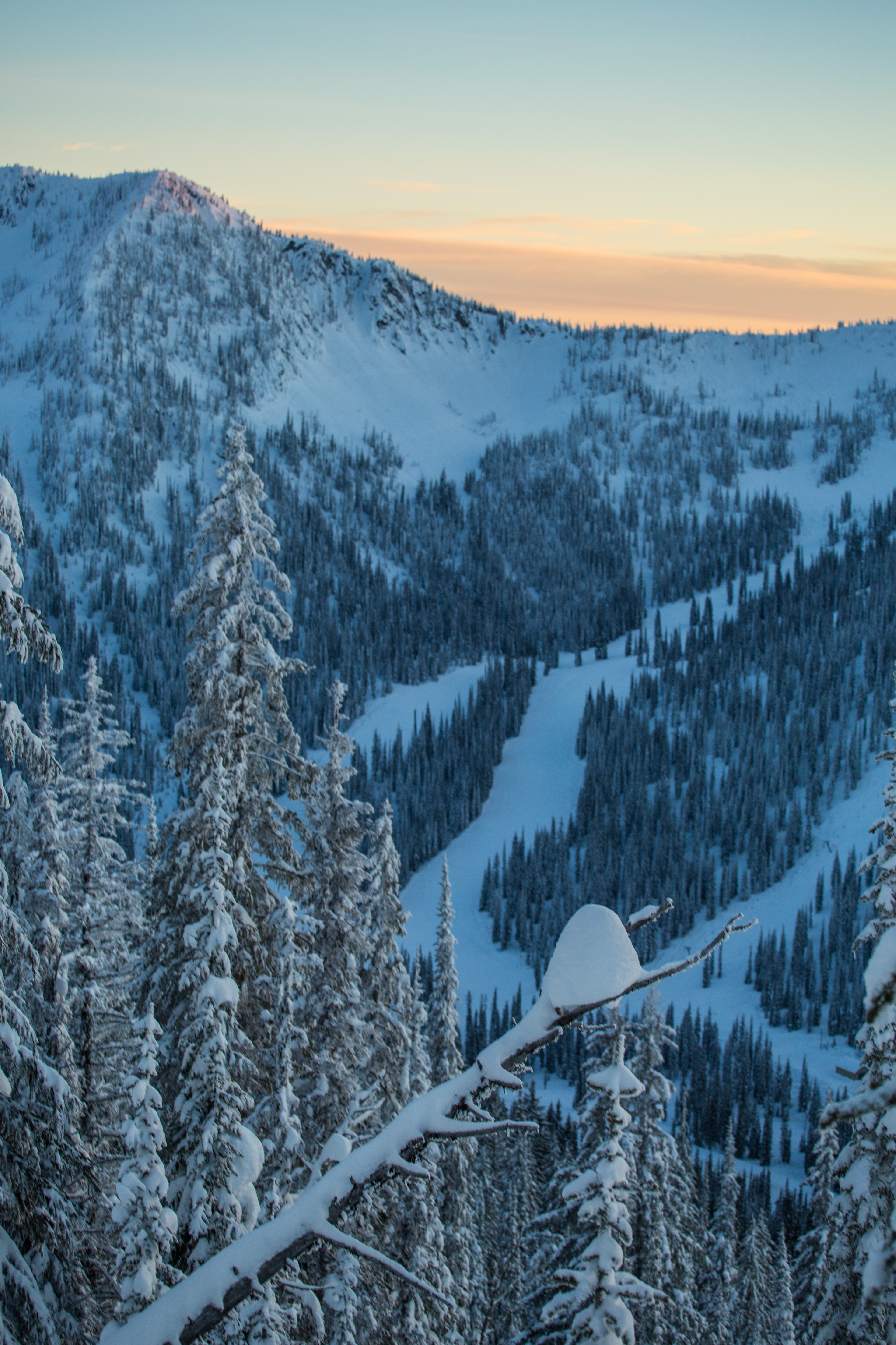
View from the Top
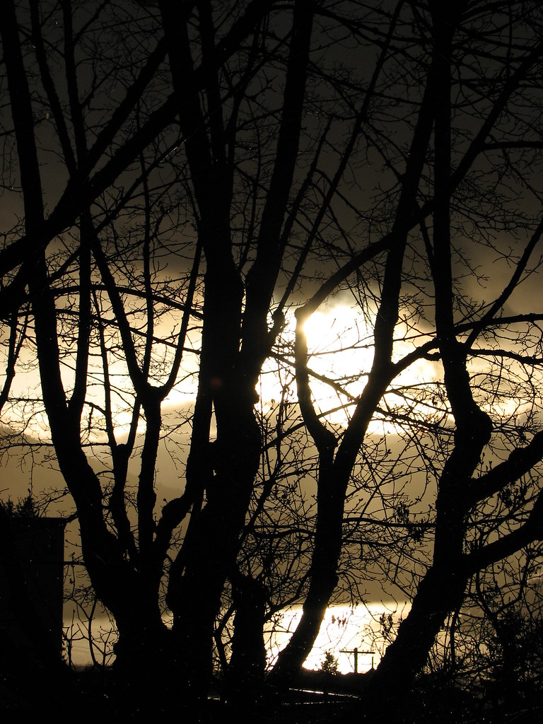
Storm view from 1121 Hall St.

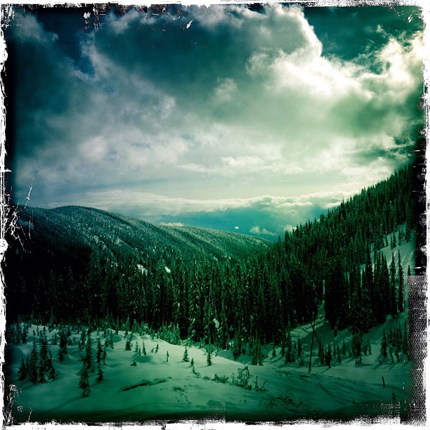
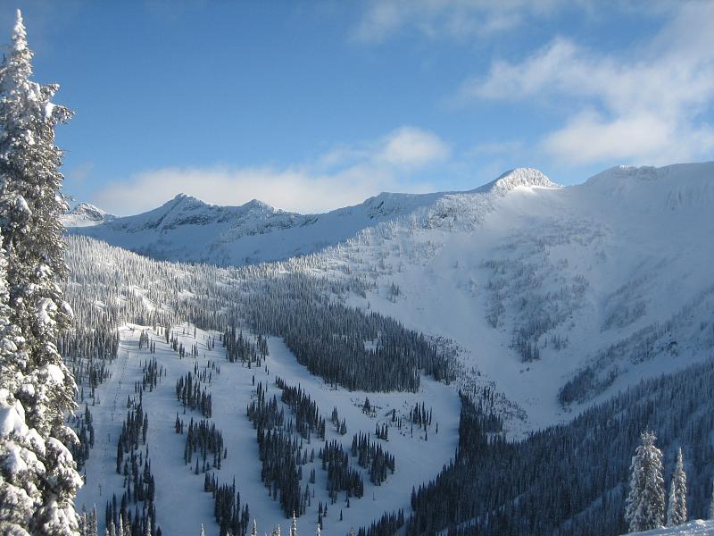
View from Whitewater lodge

Room with a View

View from our hotel room
Another view of Ymir
View from our hotel room

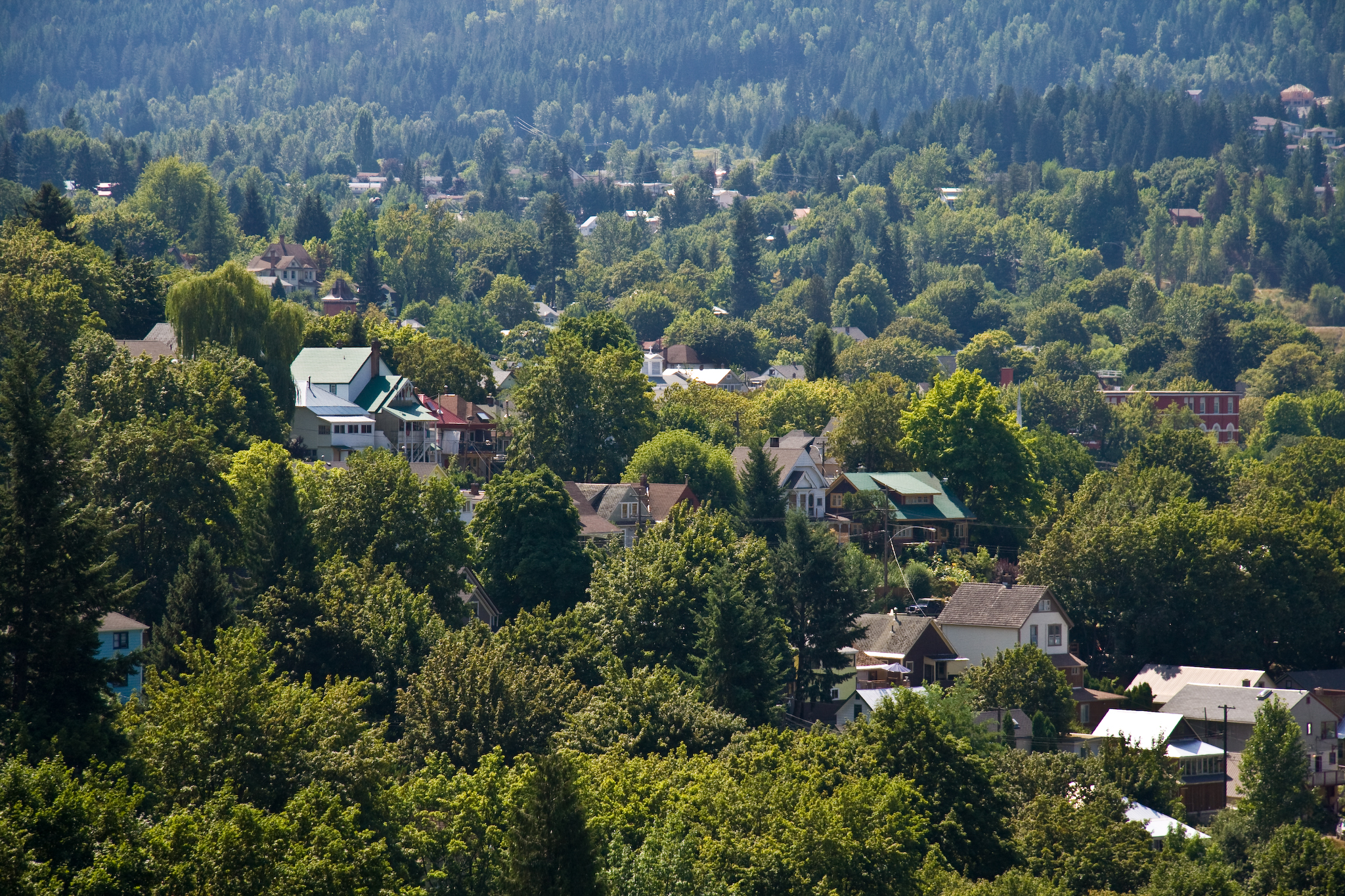
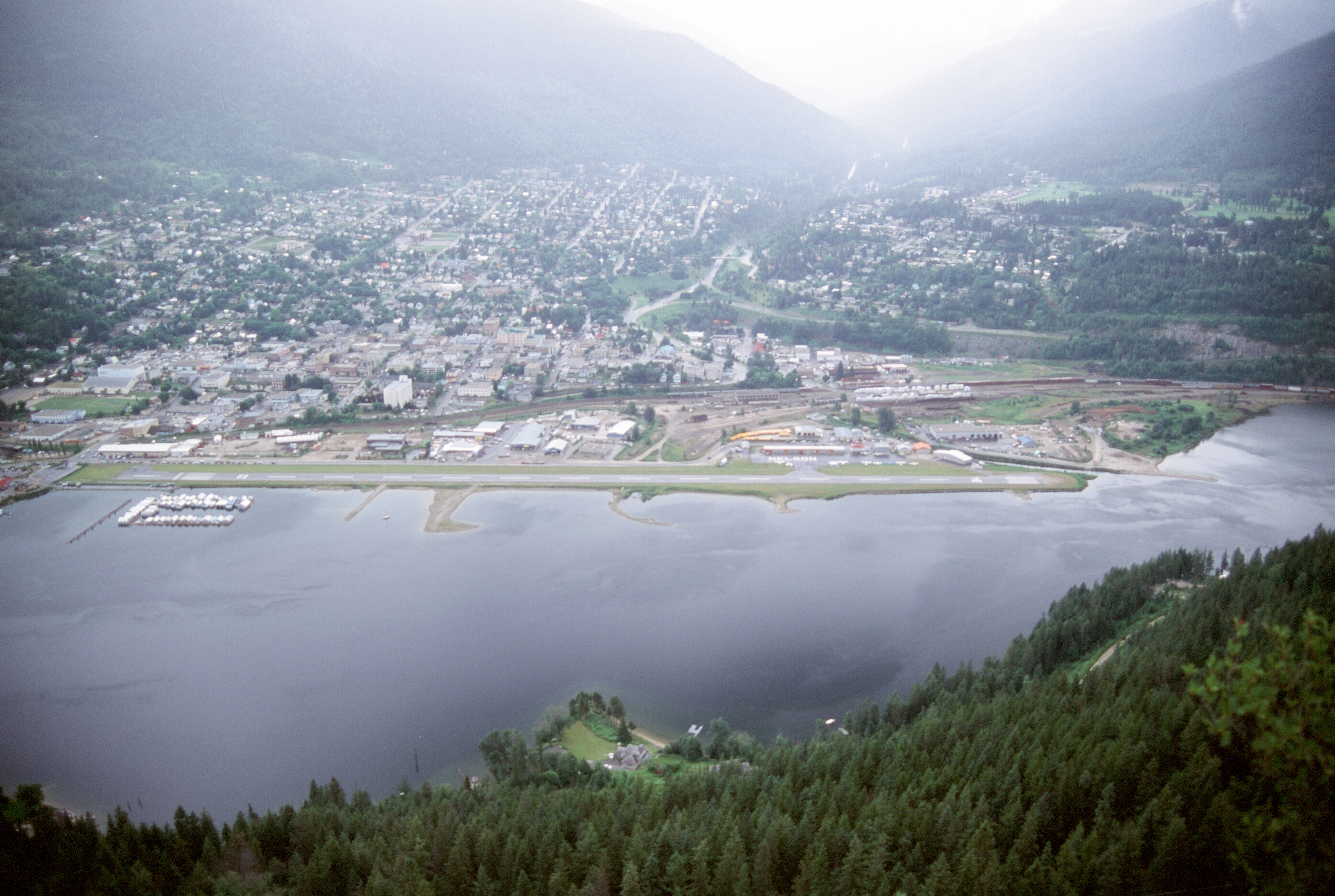
View of Nelson BC
nelson view
View from our hotel room
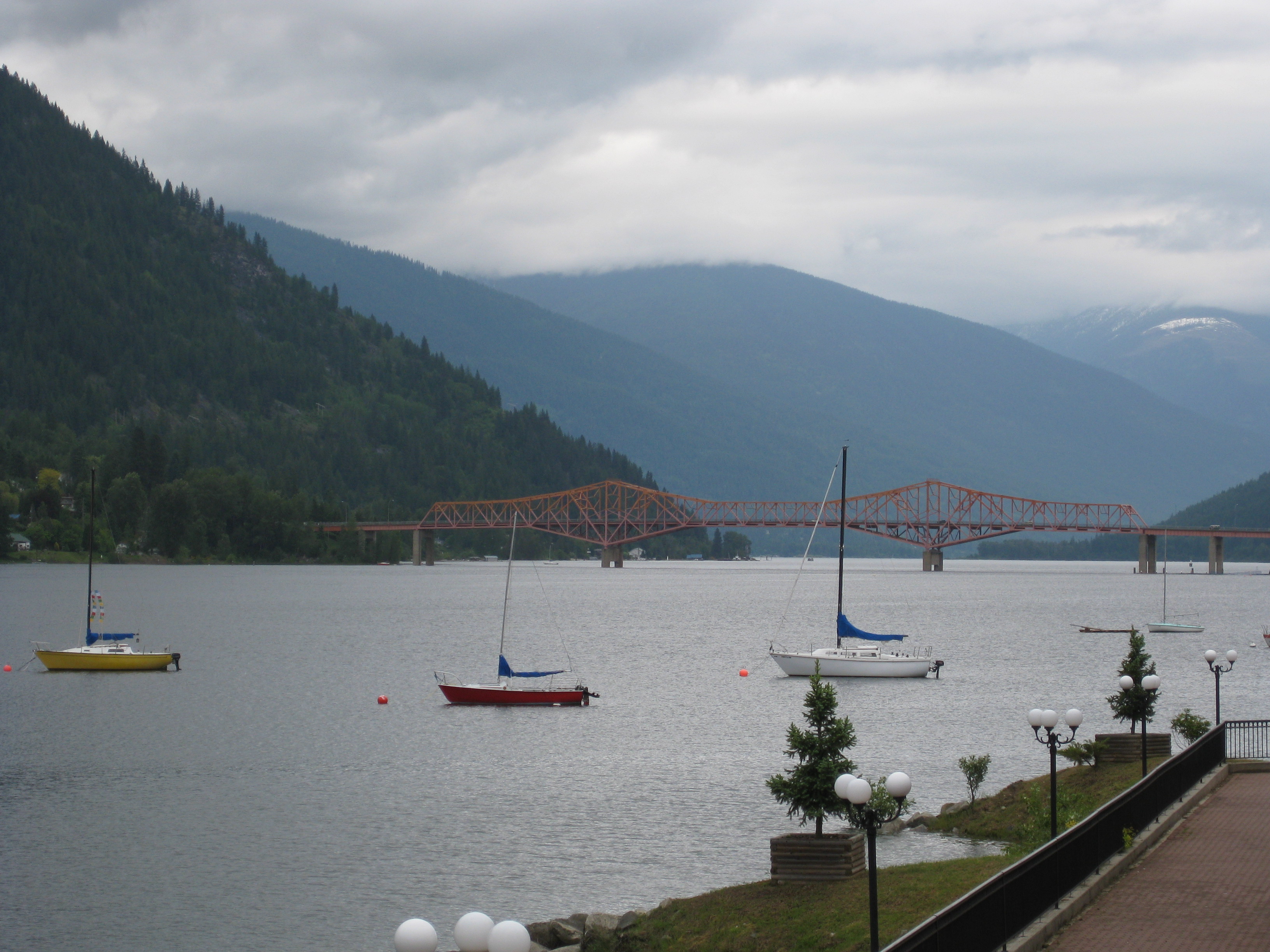
Nelson's Orange Bridge

View from the living room.
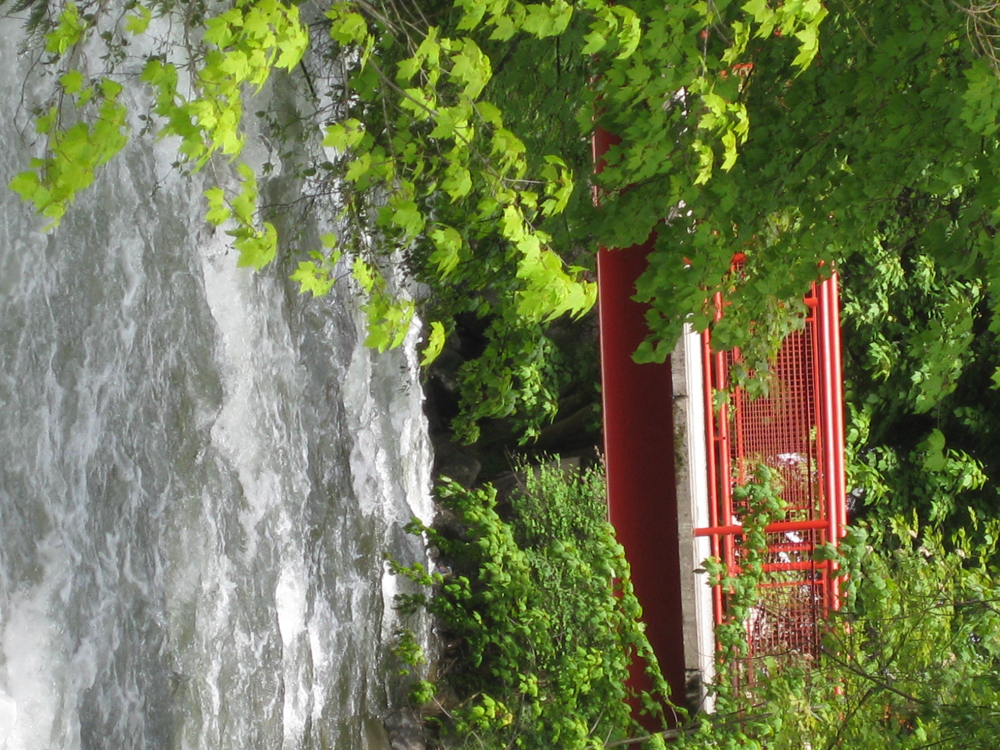
Cottonwood bridge

View from our hotel room

View of Nelson BC
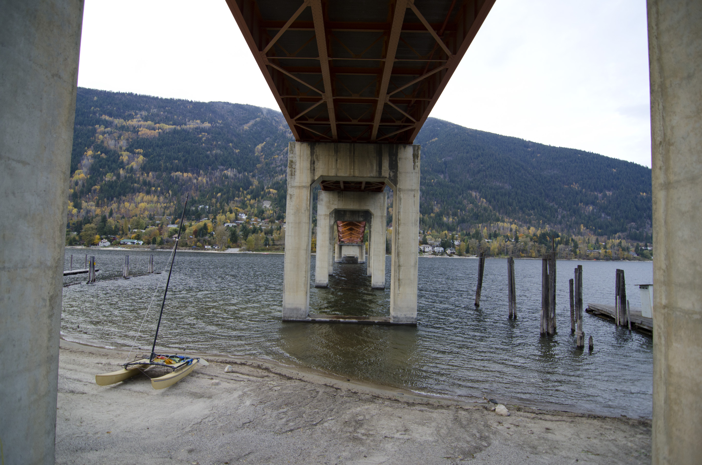
Under the Bridge 2
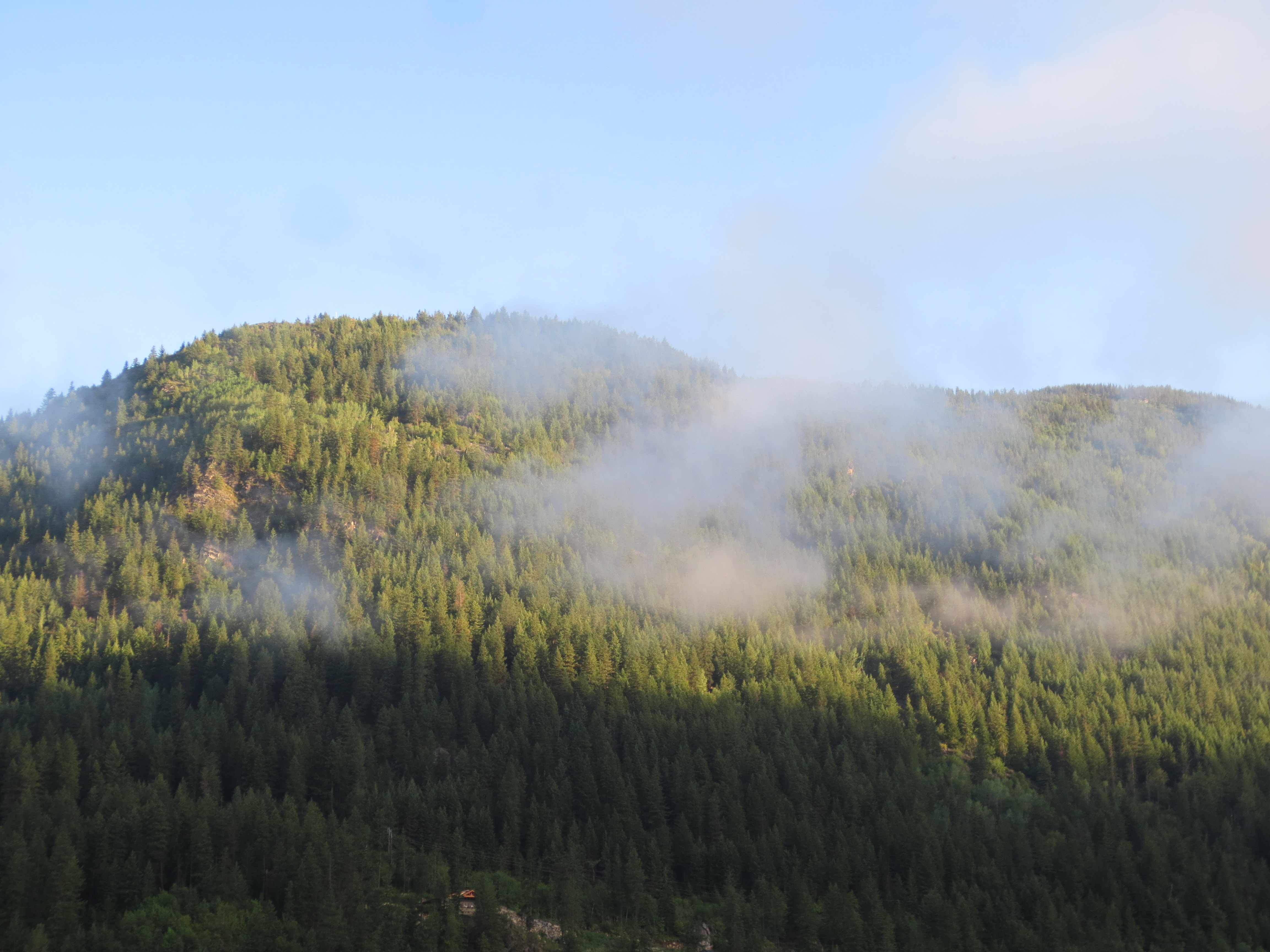
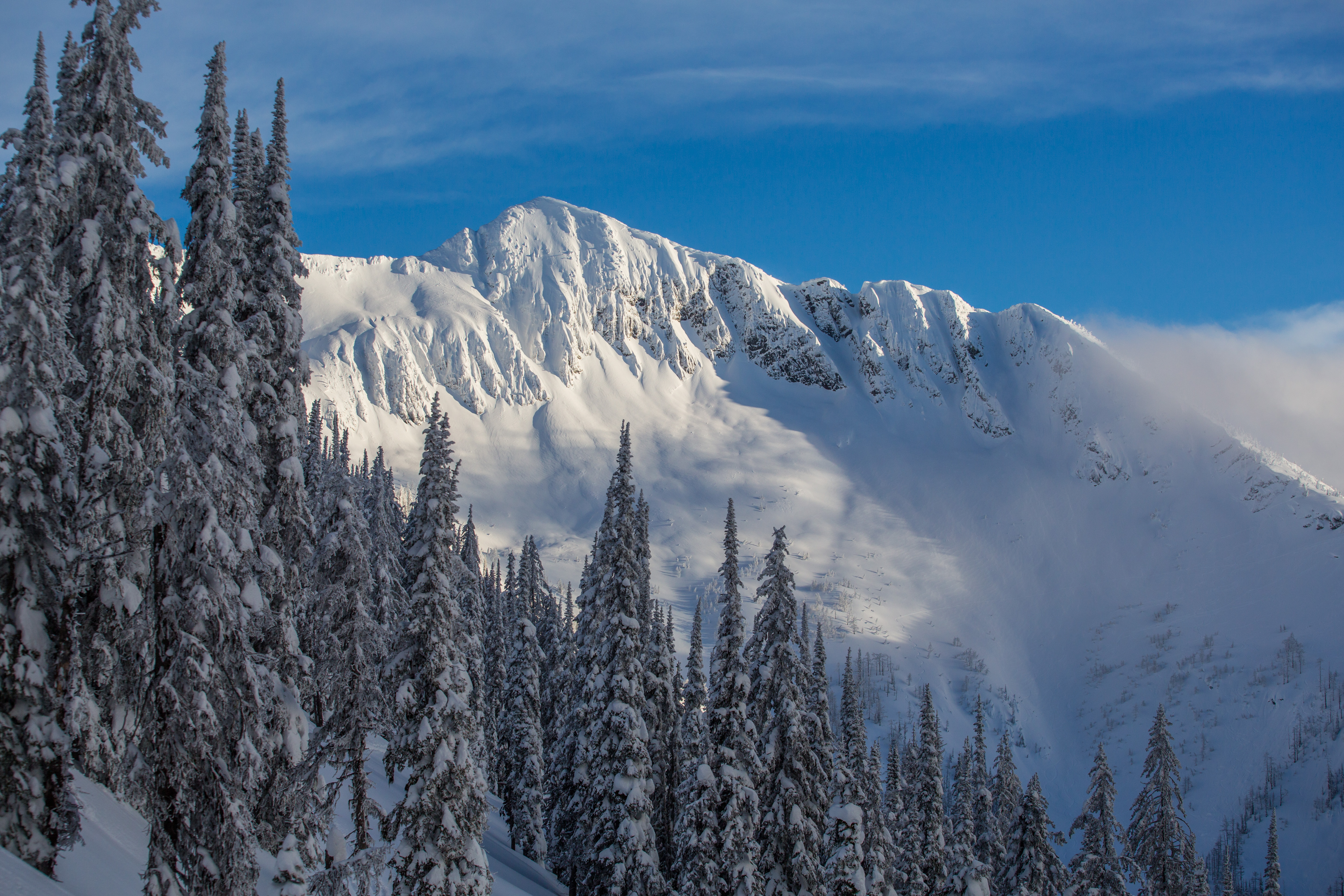
Mount Ymir

A perfect end to a #redbull #ultranatural day.
A beautiful day at the 'office'.

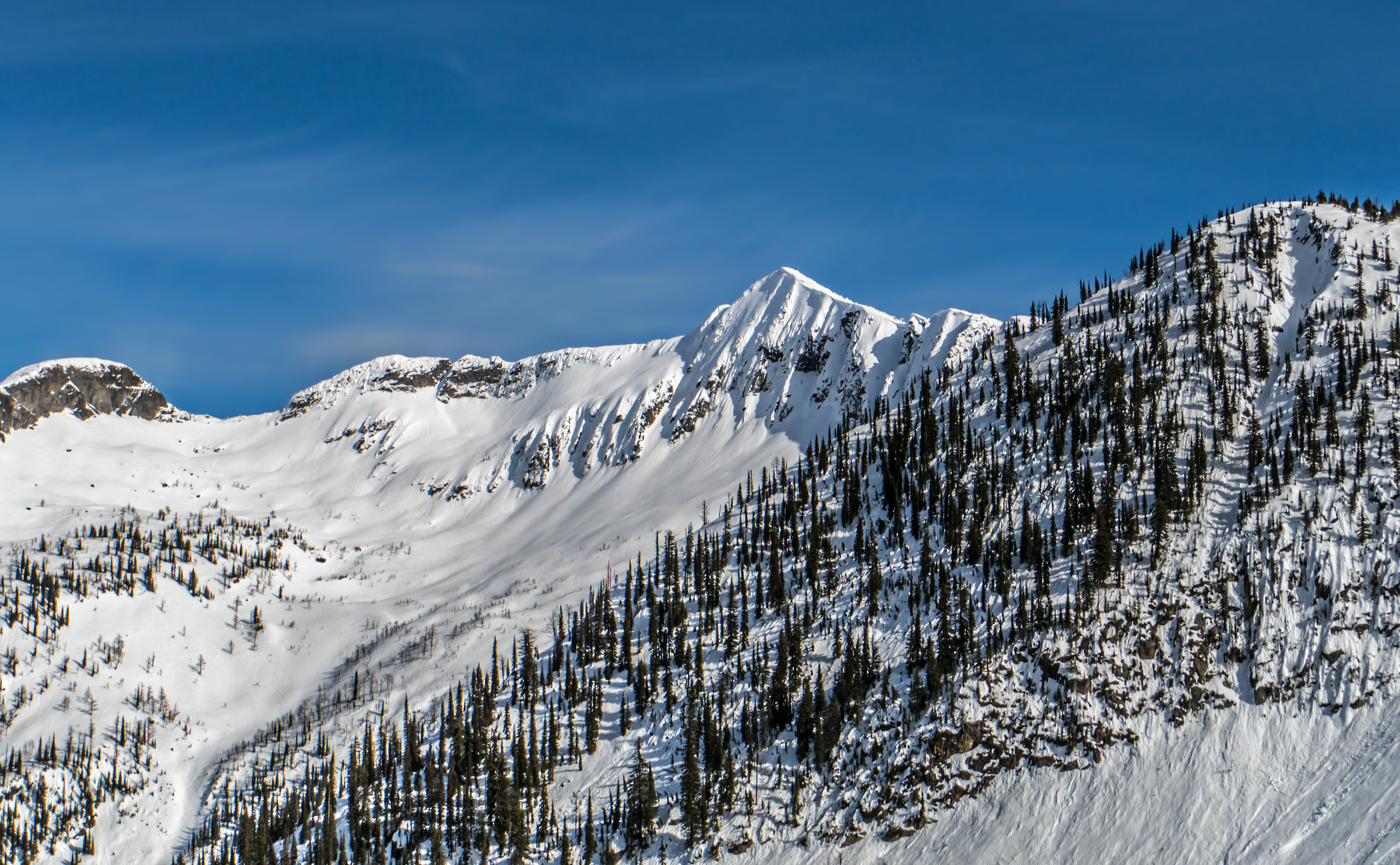
13th Feb - Hike up Prospector
Kootenay River
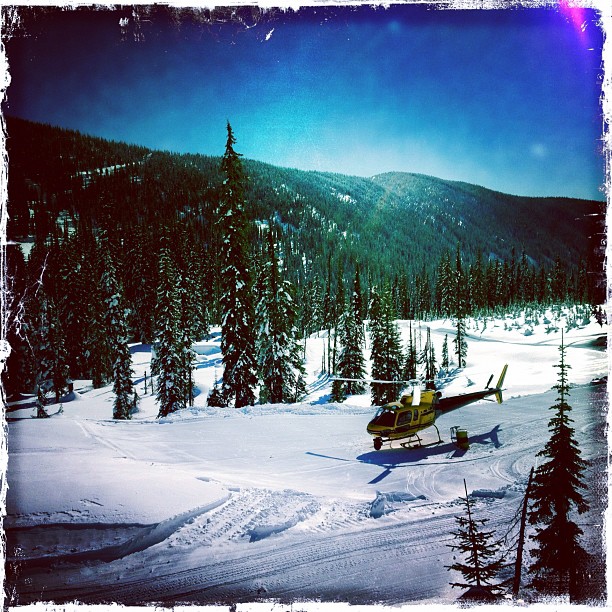
12th February - Sunset Tour to White Queen

12th February - Sunset Tour to White Queen

12th February - Sunset Tour to White Queen
12th February - Sunset Tour to White Queen
12th February - Sunset Tour to White Queen
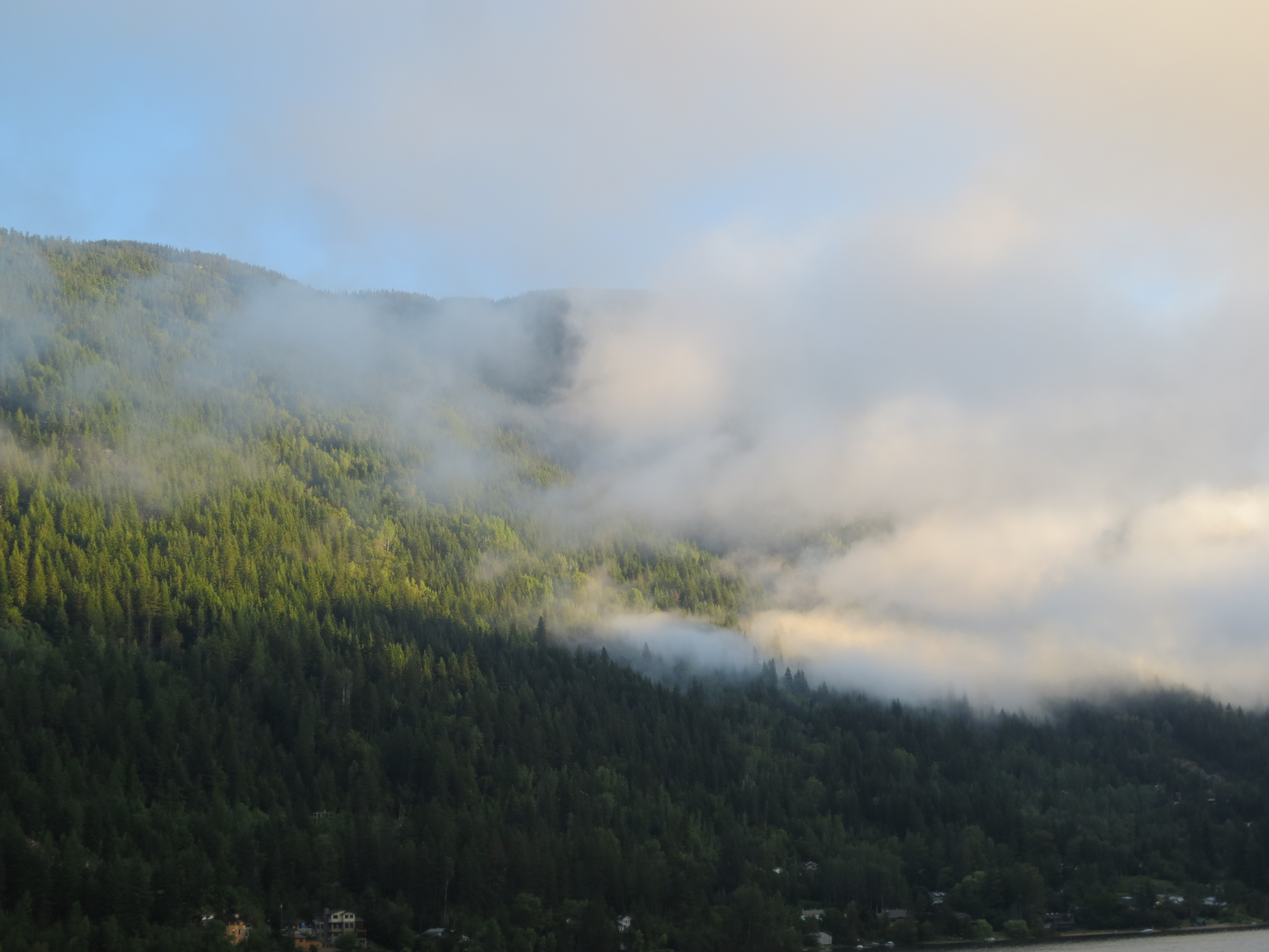
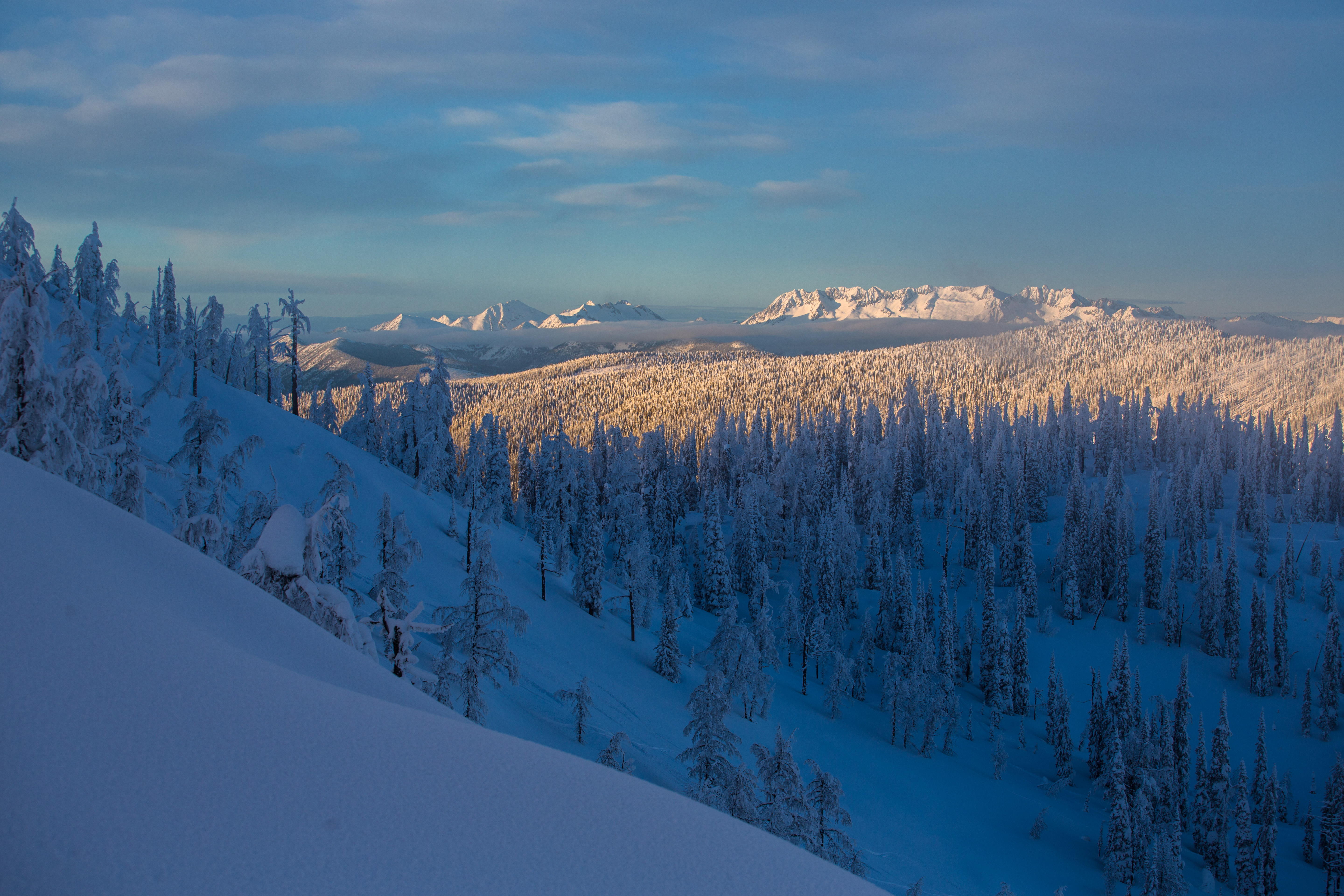
Supernatural Weather
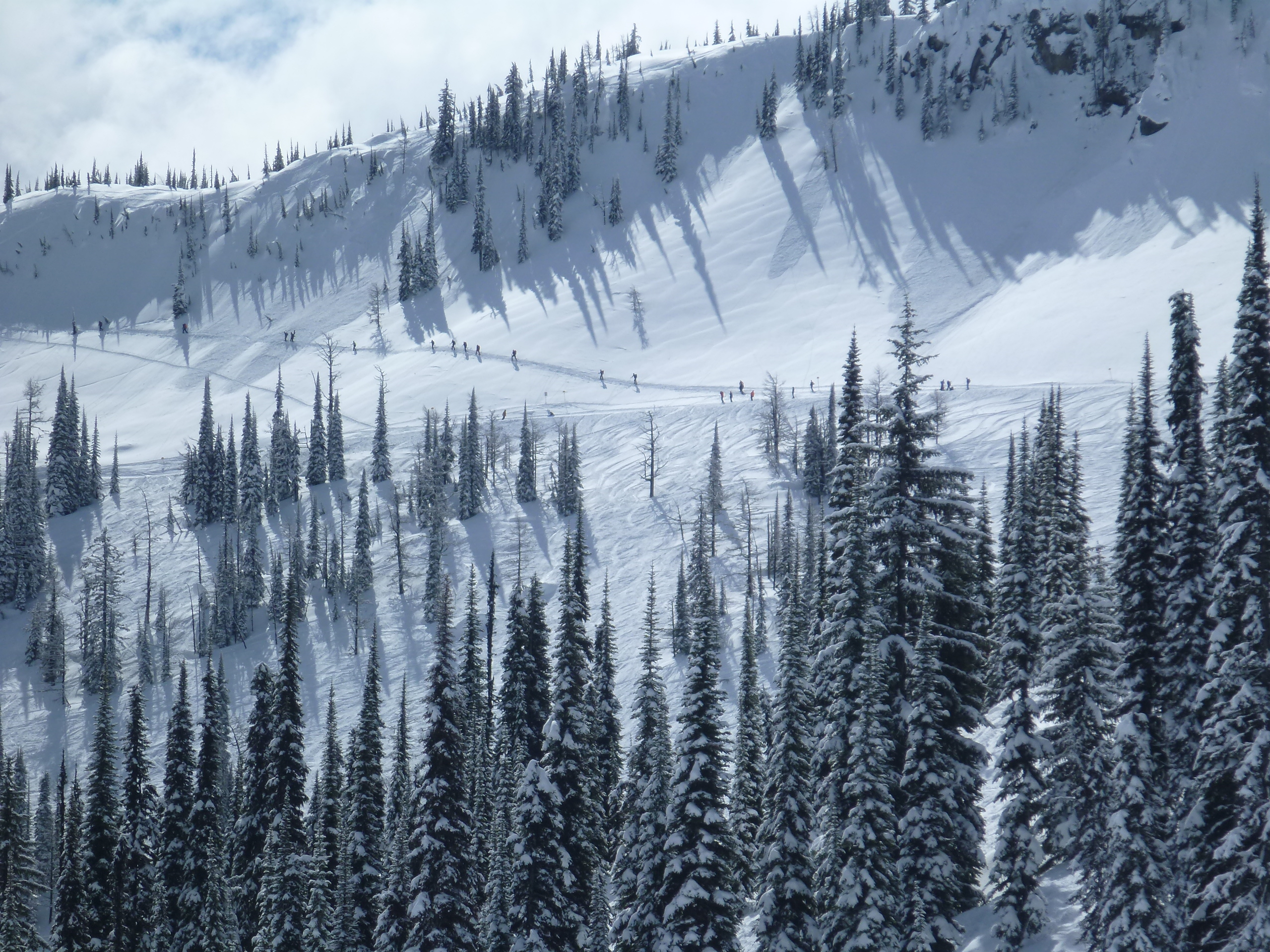
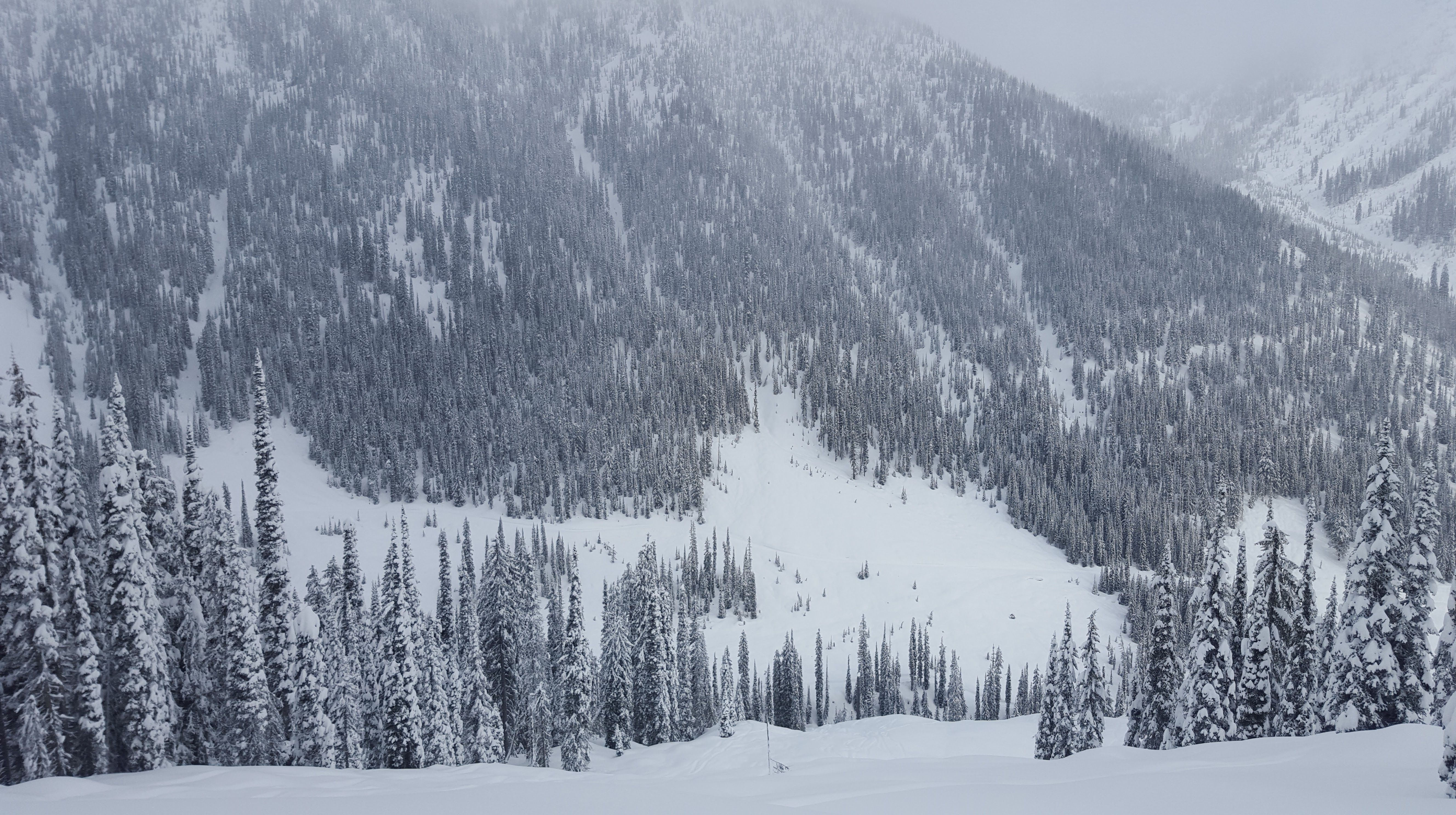
Lemming Line at Whitewater

Level V 10
9 Feb 2012-12
Baldface - 2016 -046

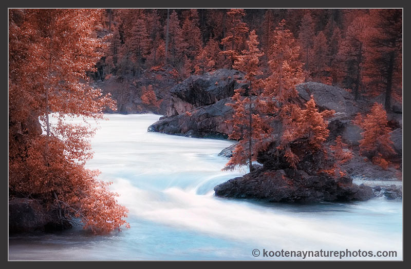
Cottonwood Falls Park, Nelson, British Columbia
19990714-002

Cottonwood Falls Park, Nelson, British Columbia

Nelson BC Bridge

Baldface - 2016 -017

Baldface - 2016 -016
Topographic Map of Robson St, Nelson, BC V1L 5A6, Canada
Find elevation by address:

Places near Robson St, Nelson, BC V1L 5A6, Canada:
Mountain Station
720 Latimer St
802 Richards St
802 Richards St
1604 Cedar St
923 Innes St
1010 Baker St
1117 Latimer St
913 Willow St
Gyro Park
63 High St
190 Trevor St
1209 Front St
1102 Lakeside Dr
121 High St
714 Regent St
Trevor Street
319 Second Street
329 Second Street
413 Nelson Ave
Recent Searches:
- Elevation of Steadfast Ct, Daphne, AL, USA
- Elevation of Lagasgasan, X+CQH, Tiaong, Quezon, Philippines
- Elevation of Rojo Ct, Atascadero, CA, USA
- Elevation of Flagstaff Drive, Flagstaff Dr, North Carolina, USA
- Elevation of Avery Ln, Lakeland, FL, USA
- Elevation of Woolwine, VA, USA
- Elevation of Lumagwas Diversified Farmers Multi-Purpose Cooperative, Lumagwas, Adtuyon, RV32+MH7, Pangantucan, Bukidnon, Philippines
- Elevation of Homestead Ridge, New Braunfels, TX, USA
- Elevation of Orchard Road, Orchard Rd, Marlborough, NY, USA
- Elevation of 12 Hutchinson Woods Dr, Fletcher, NC, USA