Elevation of Roanoke Peak, Powell River A, BC V8A, Canada
Location: Canada > British Columbia > Powell River > Powell River A >
Longitude: -124.1125
Latitude: 50.7866666
Elevation: 2799m / 9183feet
Barometric Pressure: 72KPa
Elevation Map:
Satellite Map:
Related Photos:
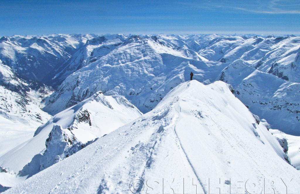
Jonny Simms on Toba Peak, TLH Heliskiing
Topographic Map of Roanoke Peak, Powell River A, BC V8A, Canada
Find elevation by address:

Places near Roanoke Peak, Powell River A, BC V8A, Canada:
Compton Mountain
Mount Tisiphone
Mount Raleigh
Altruist Mountain
Good Hope Mountain
Monmouth Mountain
Chilko Lake
Algard Peak
Mount Olson
Mist Peak
Mount Moore
Mount Tatlow
Mount Queen Bess
Mount Rodney
Klokon Peak
Nemaiah Valley
V0l 1x0
Bute Inlet
Cloud-drifter Peak
Comox-strathcona J
Recent Searches:
- Elevation of Corso Fratelli Cairoli, 35, Macerata MC, Italy
- Elevation of Tallevast Rd, Sarasota, FL, USA
- Elevation of 4th St E, Sonoma, CA, USA
- Elevation of Black Hollow Rd, Pennsdale, PA, USA
- Elevation of Oakland Ave, Williamsport, PA, USA
- Elevation of Pedrógão Grande, Portugal
- Elevation of Klee Dr, Martinsburg, WV, USA
- Elevation of Via Roma, Pieranica CR, Italy
- Elevation of Tavkvetili Mountain, Georgia
- Elevation of Hartfords Bluff Cir, Mt Pleasant, SC, USA