Elevation of Rivoppvegen, Bagn, Norway
Location: Norway > Oppland > Sør-aurdal >
Longitude: 9.3273101
Latitude: 60.6926571
Elevation: 853m / 2799feet
Barometric Pressure: 91KPa
Elevation Map:
Satellite Map:
Related Photos:
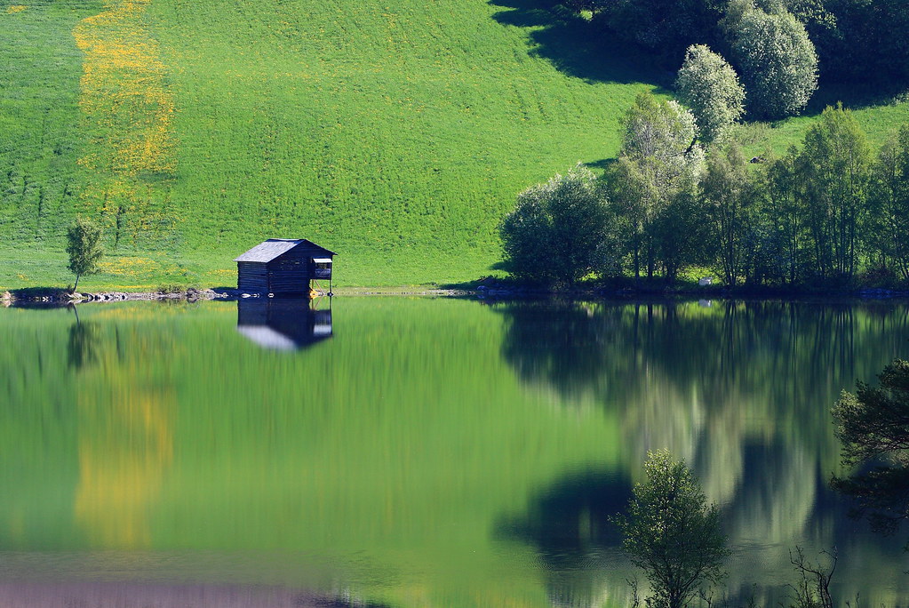
Green dream

Blaue Stunde

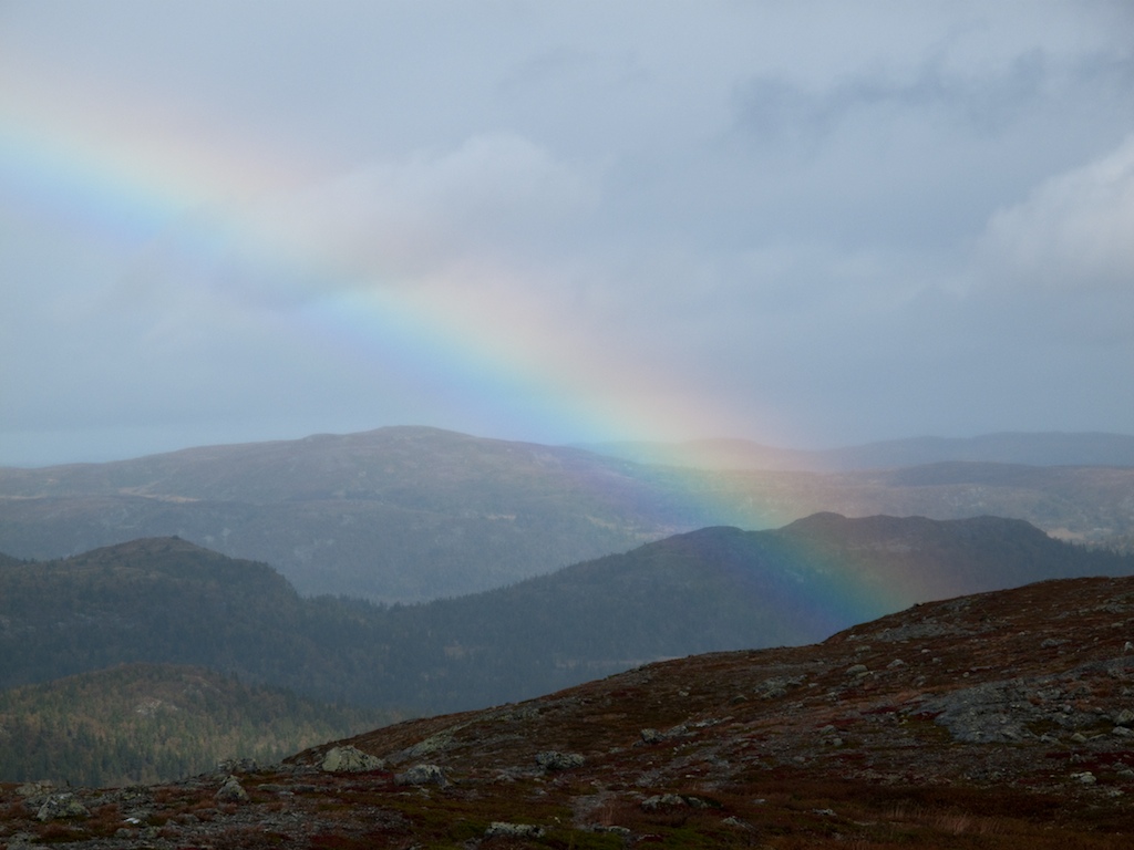
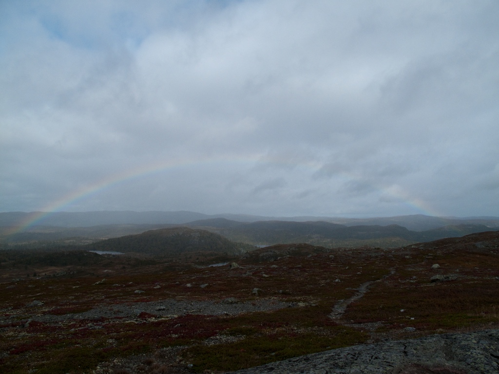
The view
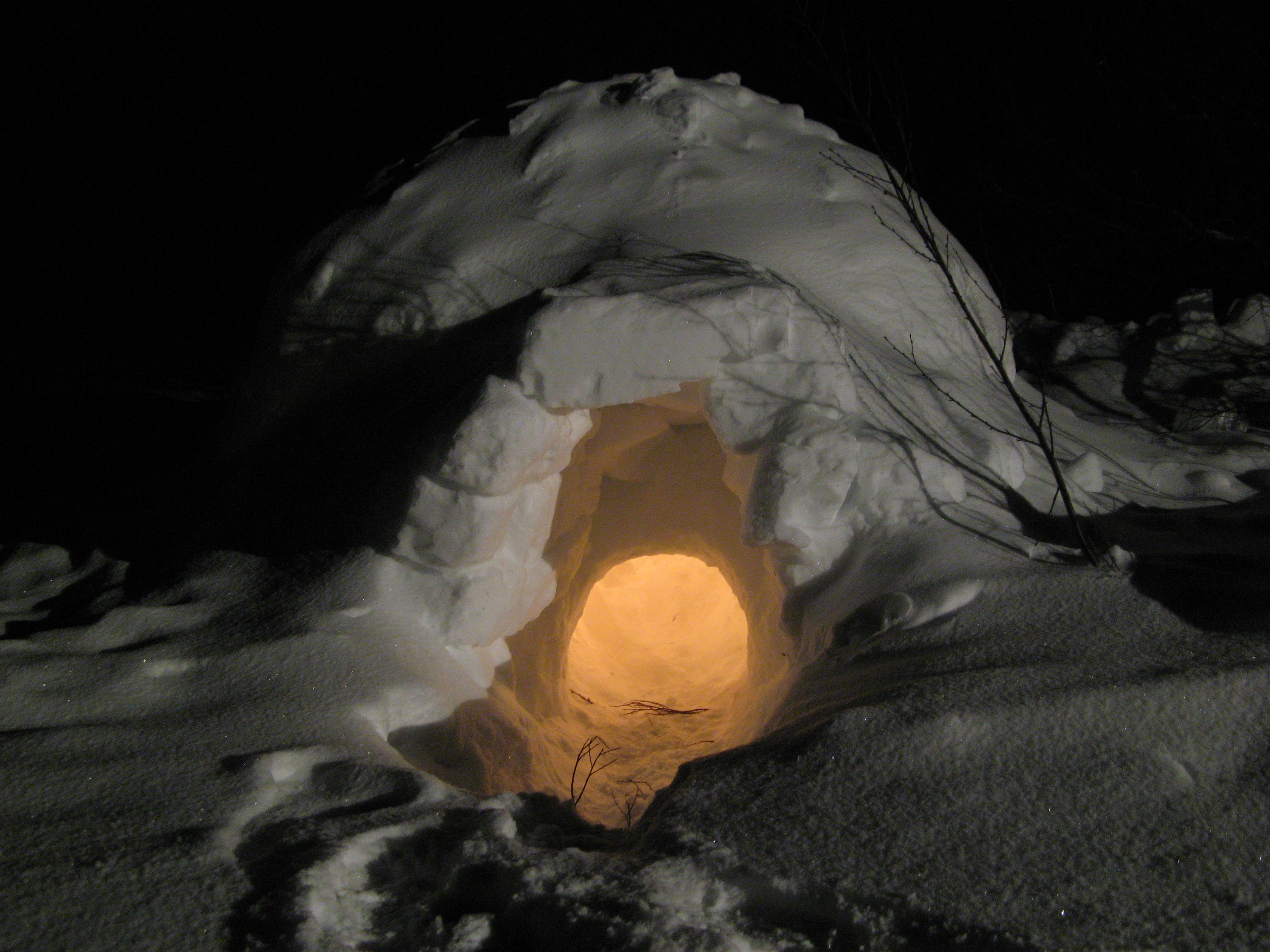
Igloo at Night

Starry Sky

Illuminated Igloo

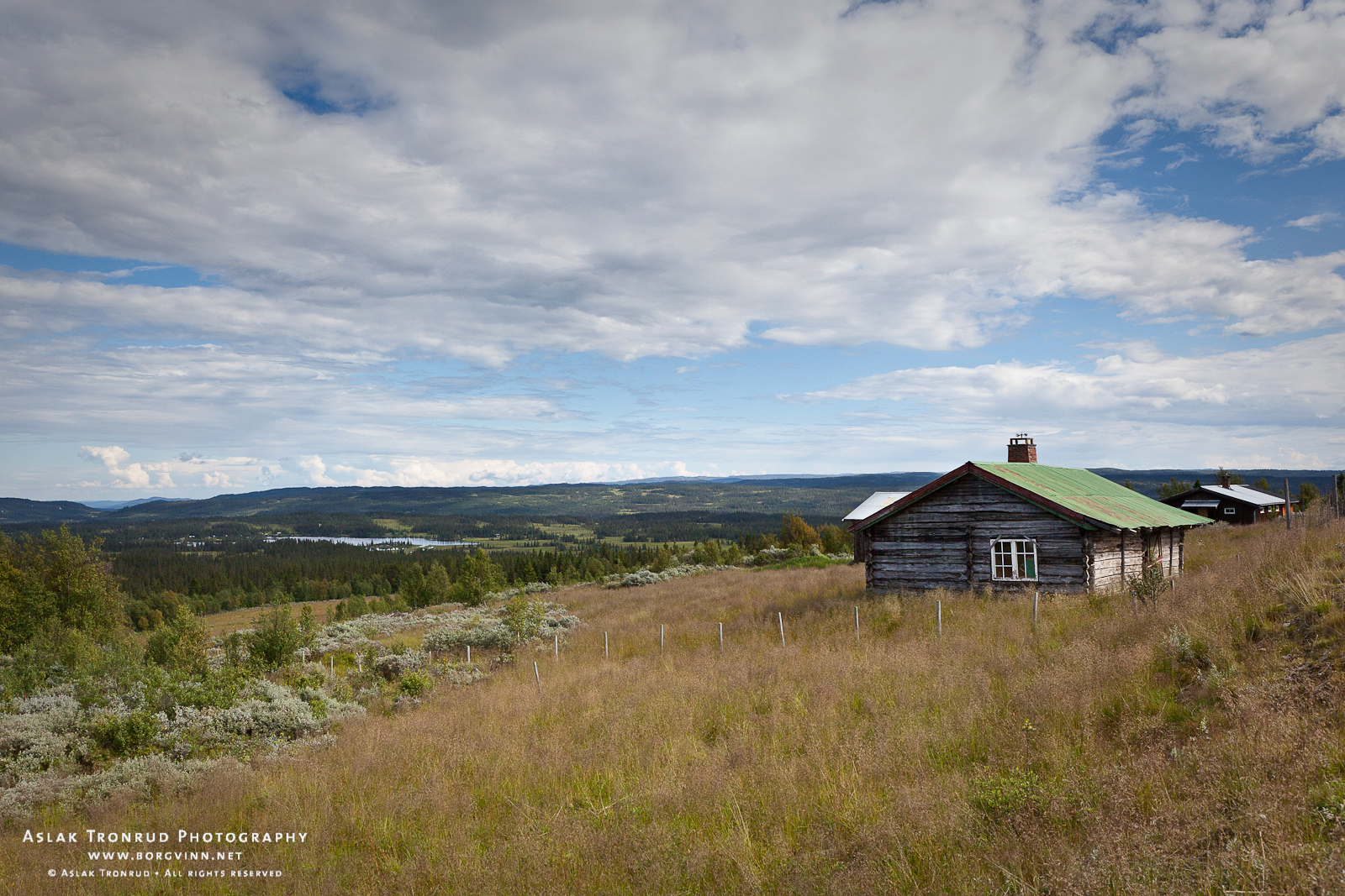
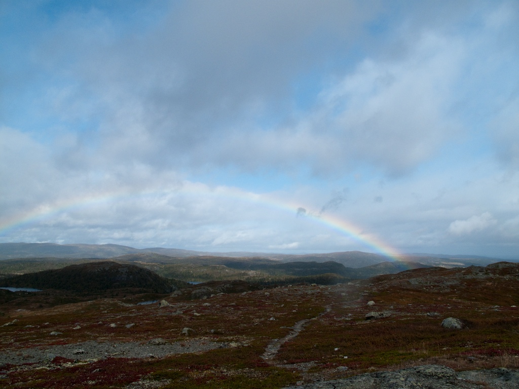
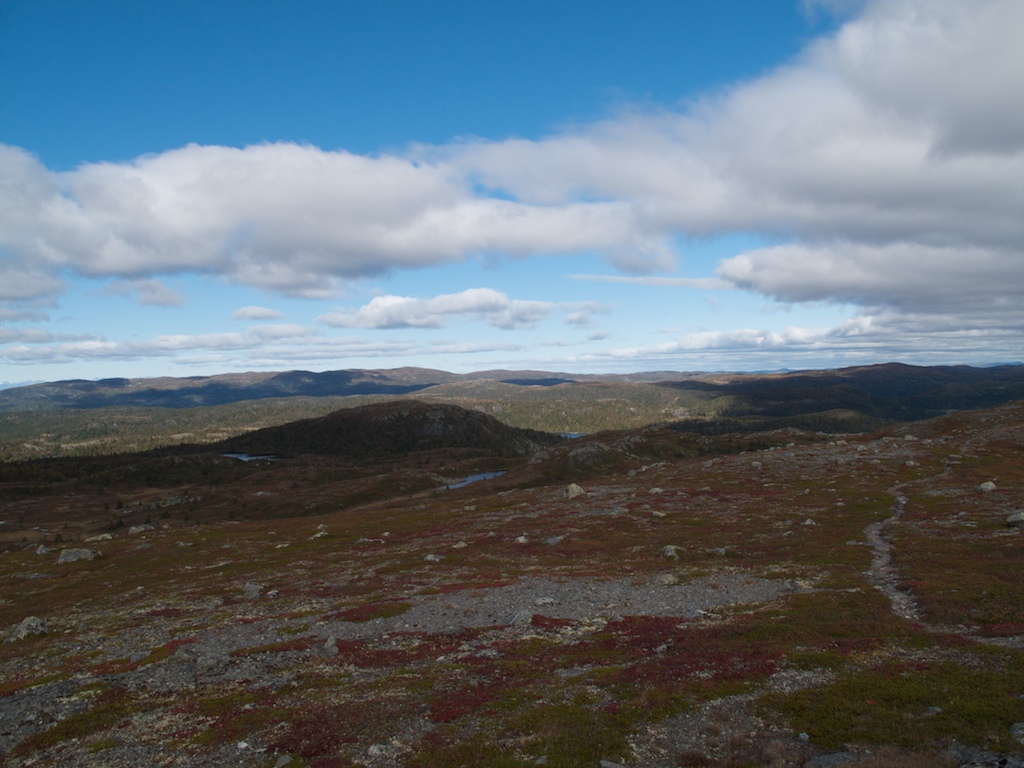
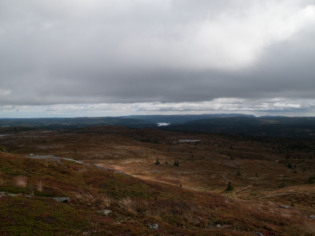
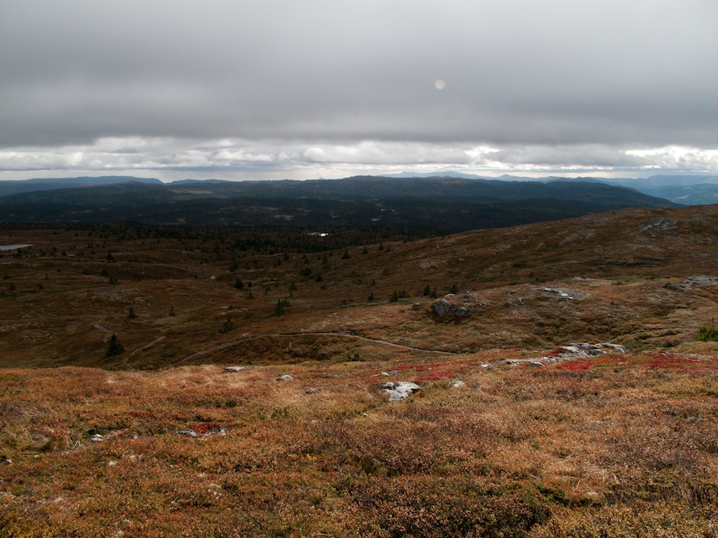
View of the Fjell
Høvreslia, Valdres
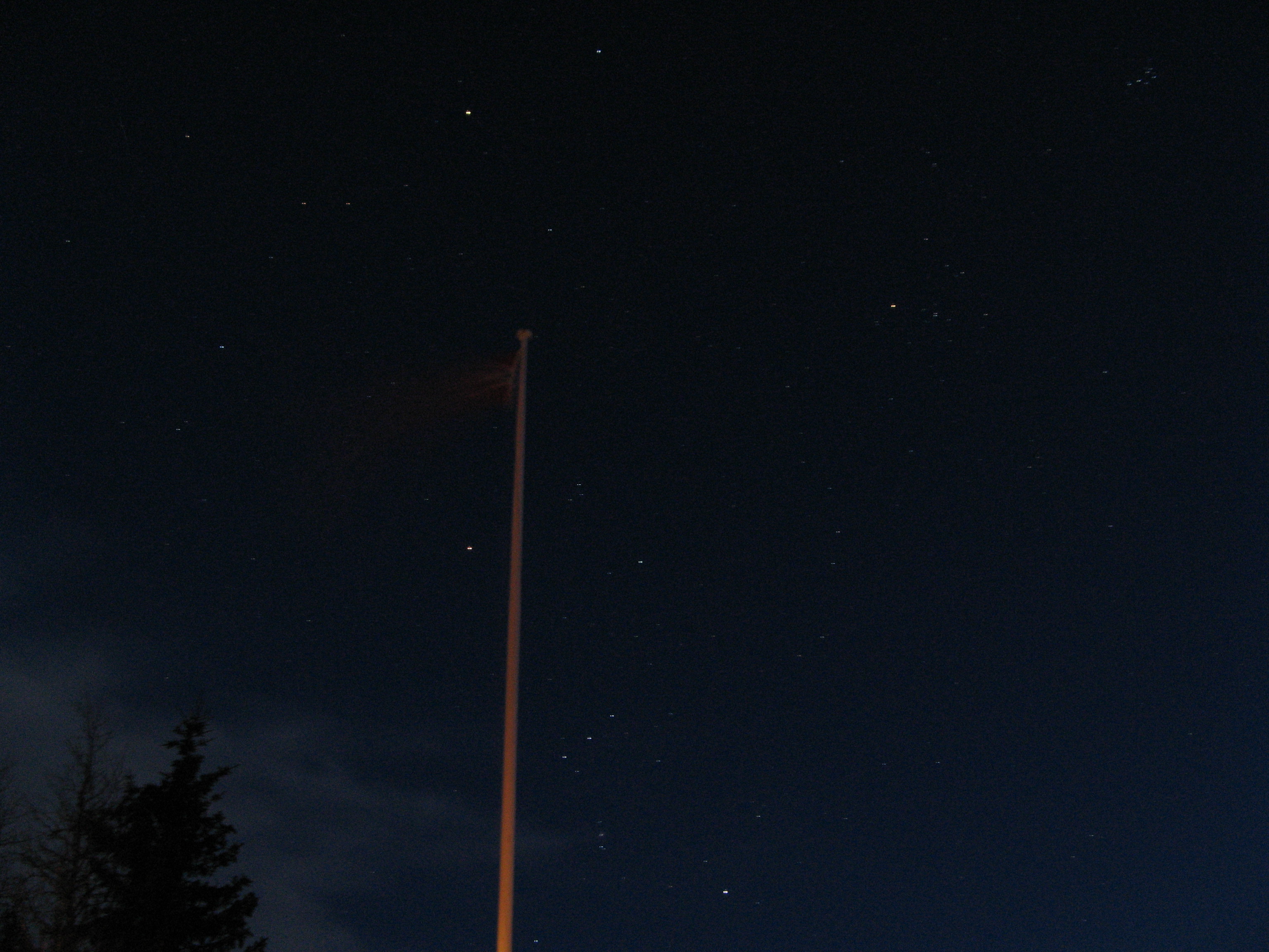
Flagpole and Stars
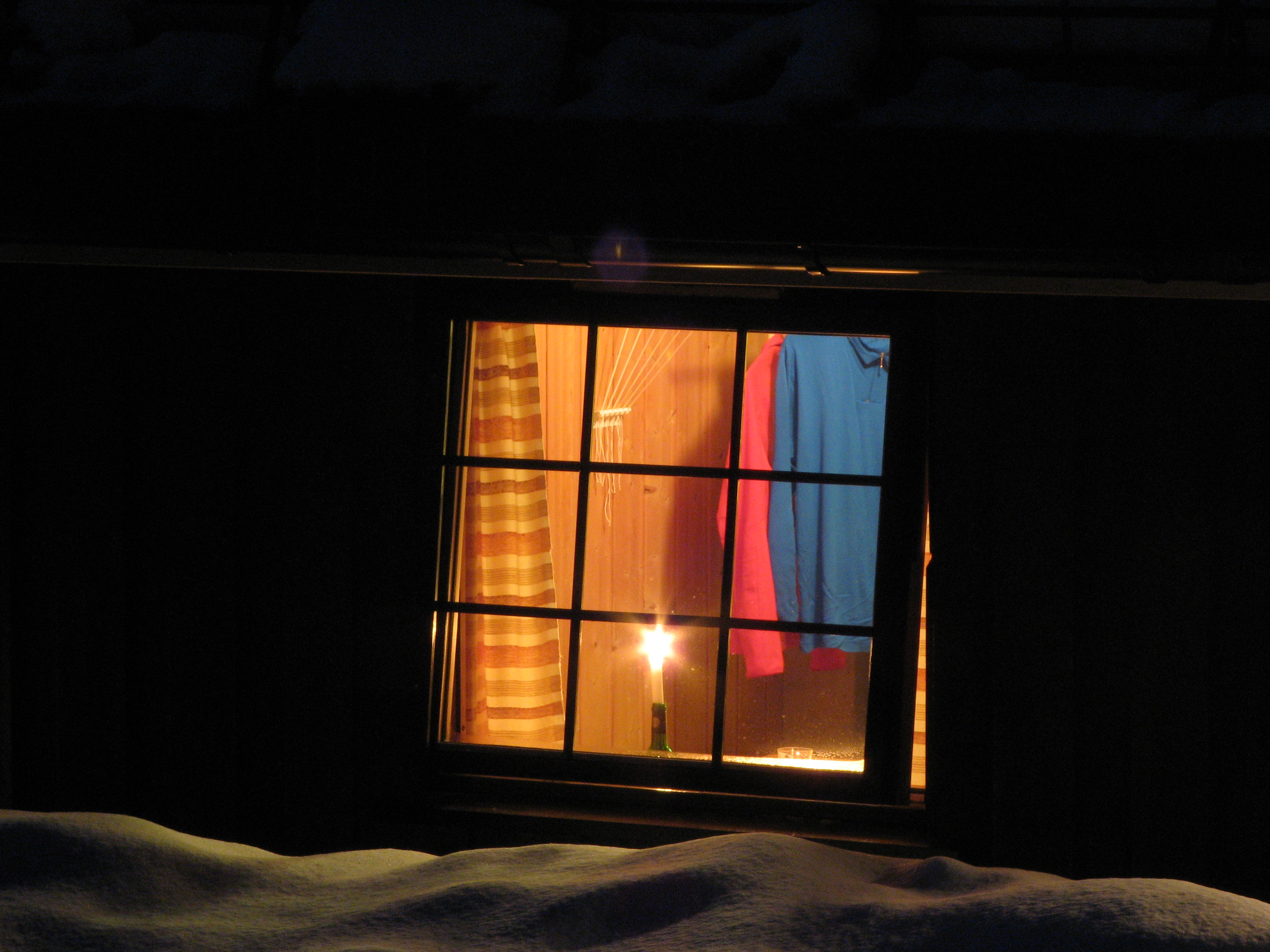
Candle in the Window
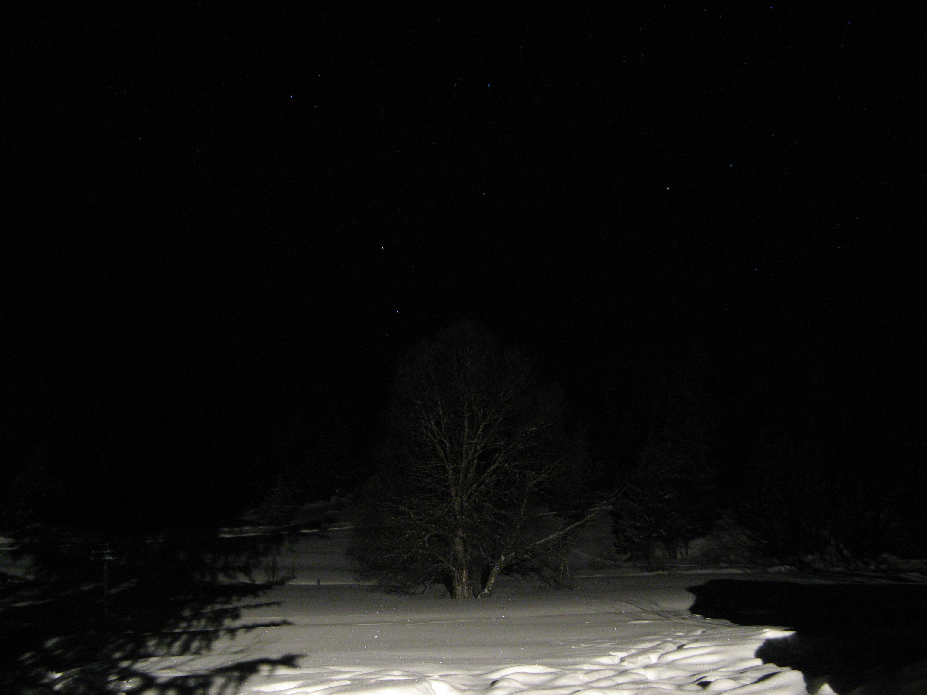
Tree at Night
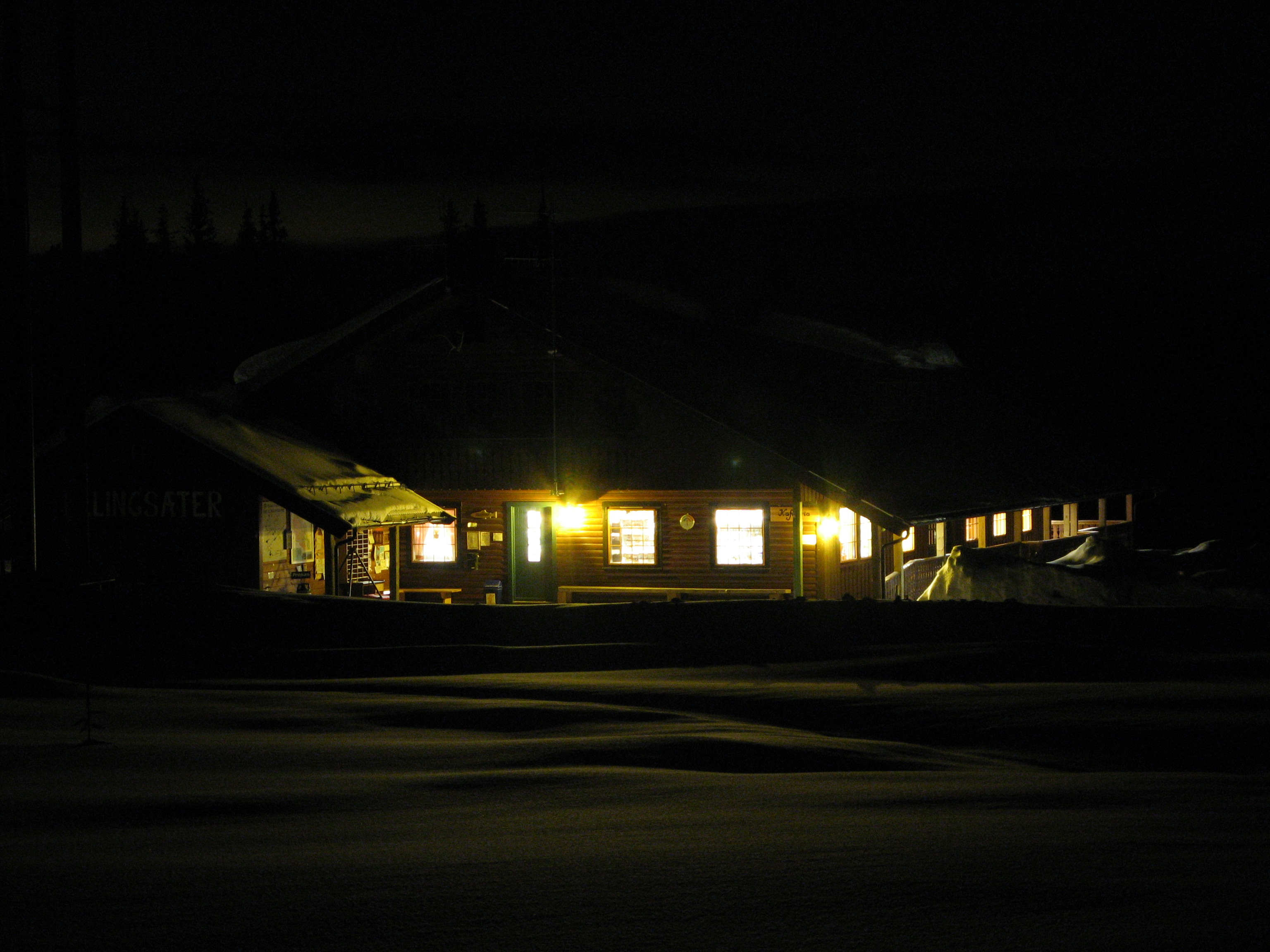
Ellingsæter Sport & Turistsenter
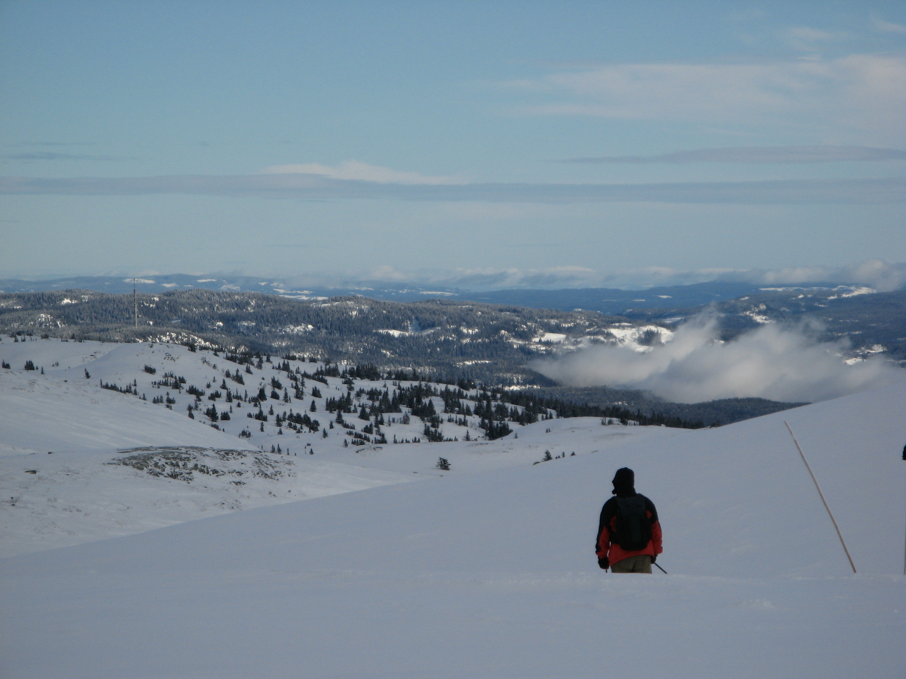
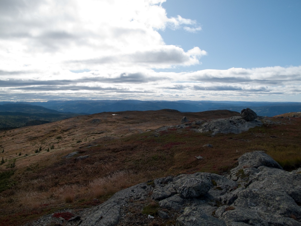
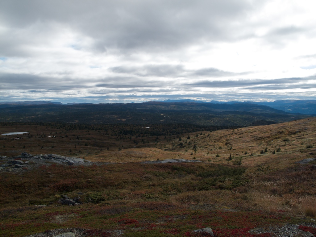
View from Bjødalsfjellet
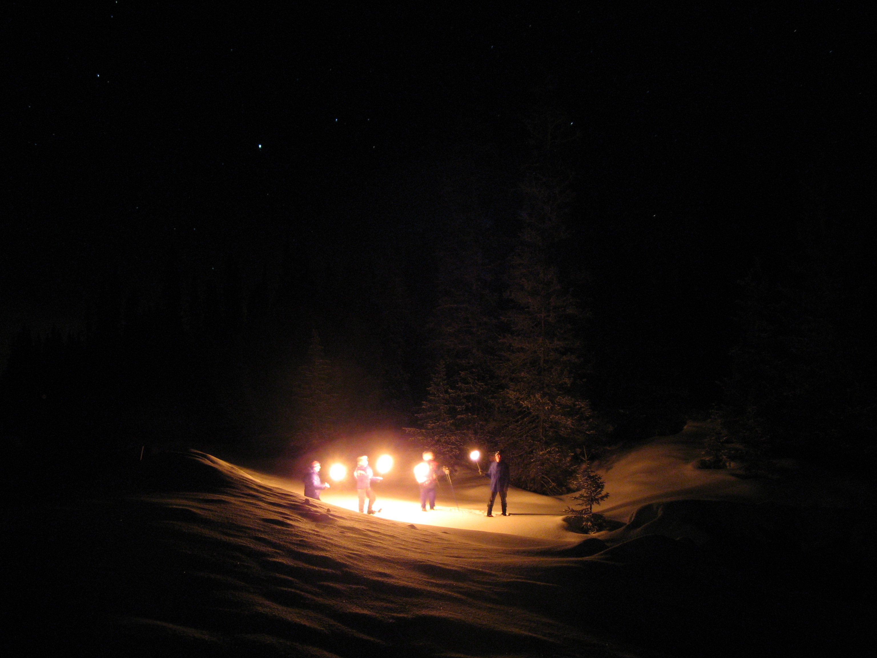
Nite Hike
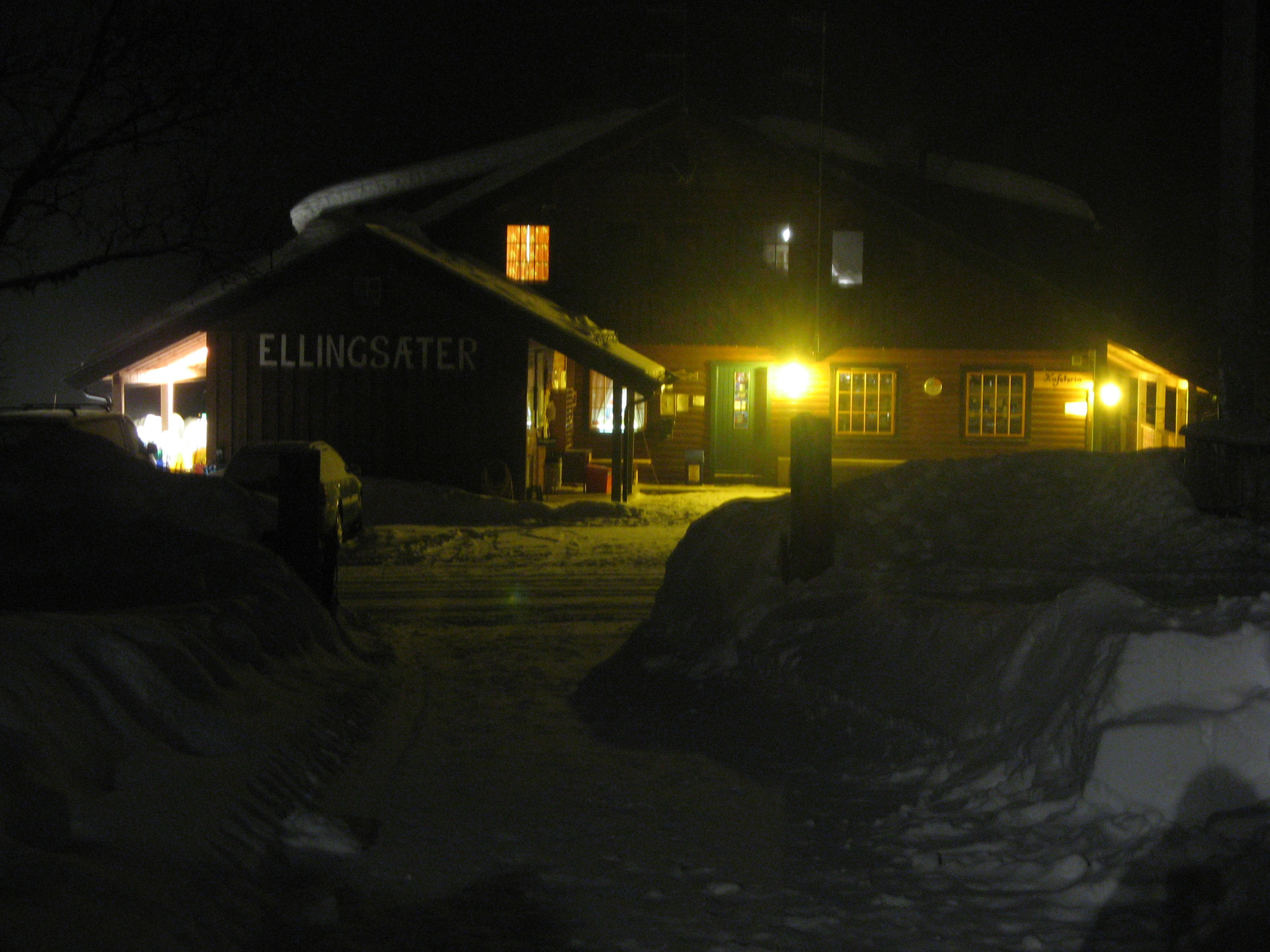
Ellingsæter

Nite Hike
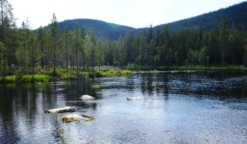
Suluvann - utløp
Big mountain ride
Big mountain ride
Big mountain ride
Big mountain ride
Meitebekksætri
Big mountain ride
Big mountain ride
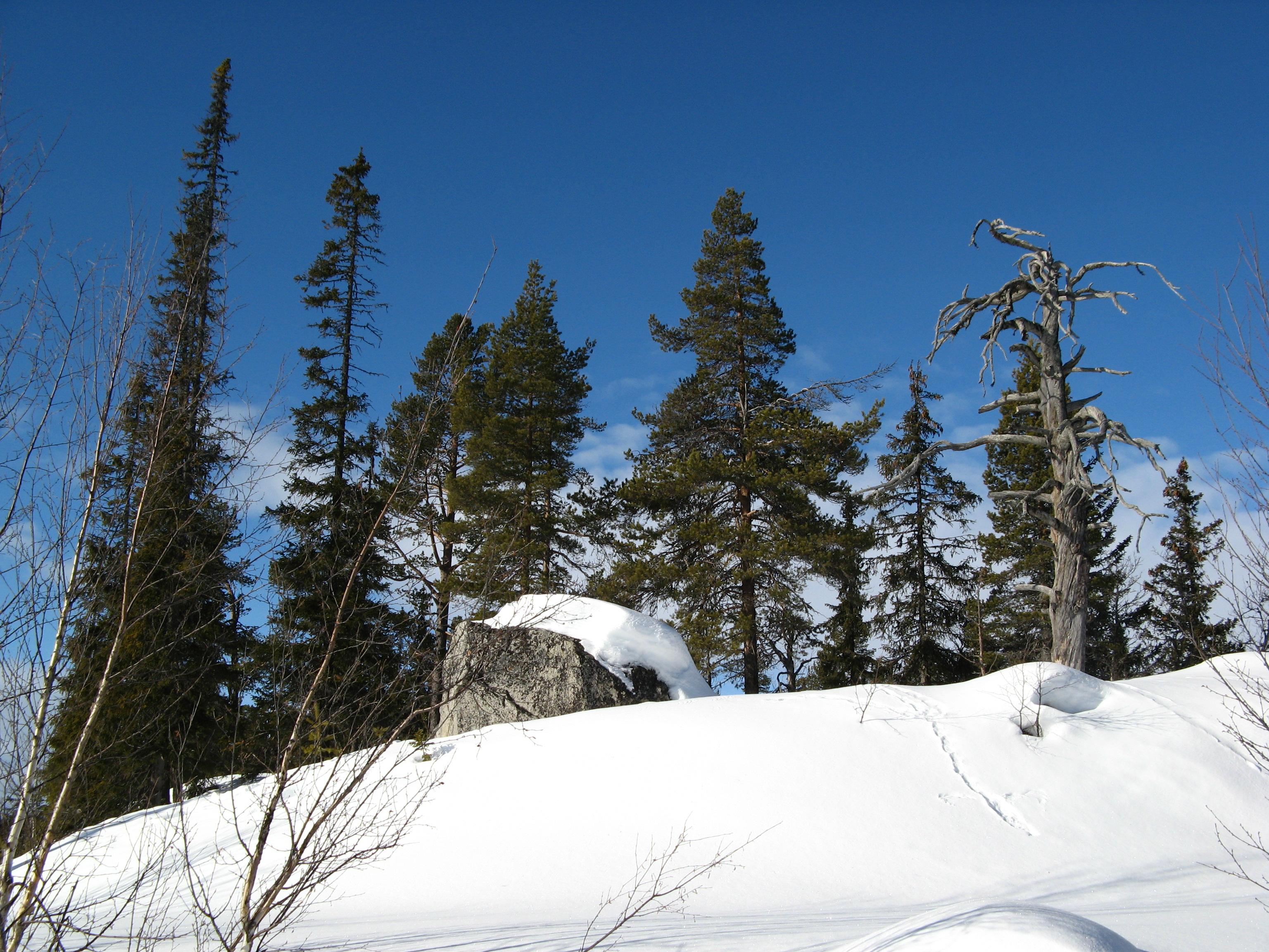
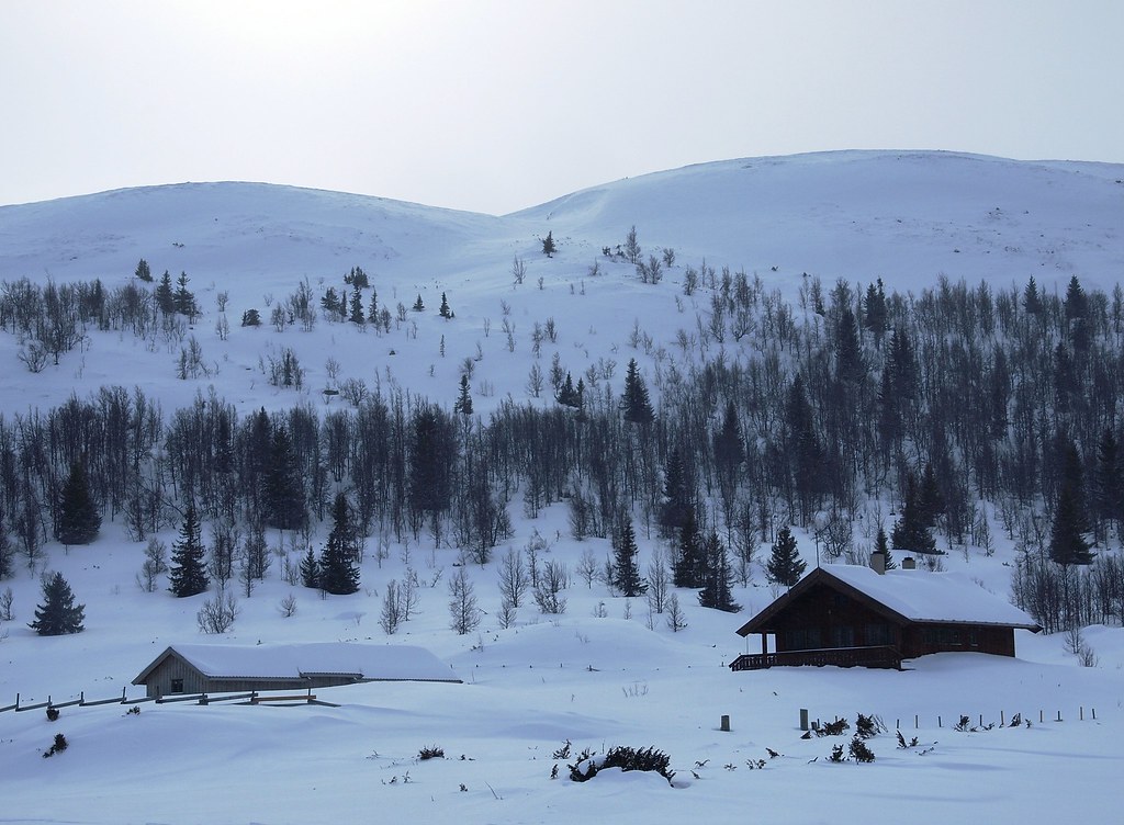
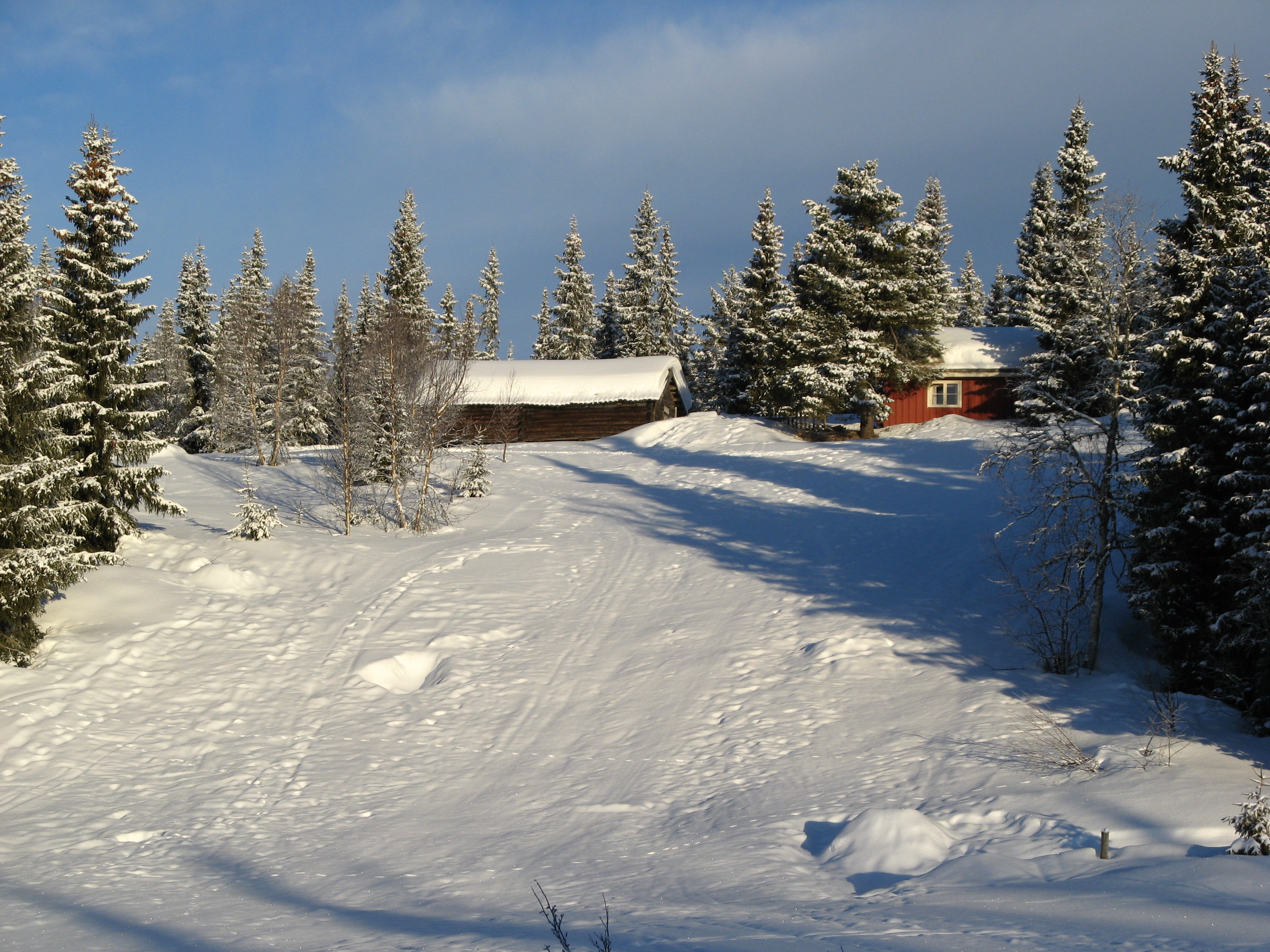
Winter Landscape
Big mountain ride
Ellingsæter
Big mountain ride
Topographic Map of Rivoppvegen, Bagn, Norway
Find elevation by address:

Places near Rivoppvegen, Bagn, Norway:
Reinli
Nesbyen
Bagn
Sør-aurdal
Hølera
Fagernes
Nes
Rv, Etnedal, Norway
Gol
Etnedal
Solstad Hotel And Motel As
Røn
Gol
Ålfjell
Slidre
Convenience Store Mykingsjøen Kolonial
Hegge
Vestre Slidre Municipality
Dølsvestubben 9
Skammestein
Recent Searches:
- Elevation of Lagasgasan, X+CQH, Tiaong, Quezon, Philippines
- Elevation of Rojo Ct, Atascadero, CA, USA
- Elevation of Flagstaff Drive, Flagstaff Dr, North Carolina, USA
- Elevation of Avery Ln, Lakeland, FL, USA
- Elevation of Woolwine, VA, USA
- Elevation of Lumagwas Diversified Farmers Multi-Purpose Cooperative, Lumagwas, Adtuyon, RV32+MH7, Pangantucan, Bukidnon, Philippines
- Elevation of Homestead Ridge, New Braunfels, TX, USA
- Elevation of Orchard Road, Orchard Rd, Marlborough, NY, USA
- Elevation of 12 Hutchinson Woods Dr, Fletcher, NC, USA
- Elevation of Holloway Ave, San Francisco, CA, USA