Elevation of Riverview Dr, Robbinsville, NC, USA
Location: United States > North Carolina > Graham County > Cheoah > Robbinsville >
Longitude: -83.883688
Latitude: 35.3059244
Elevation: 634m / 2080feet
Barometric Pressure: 94KPa
Elevation Map:
Satellite Map:
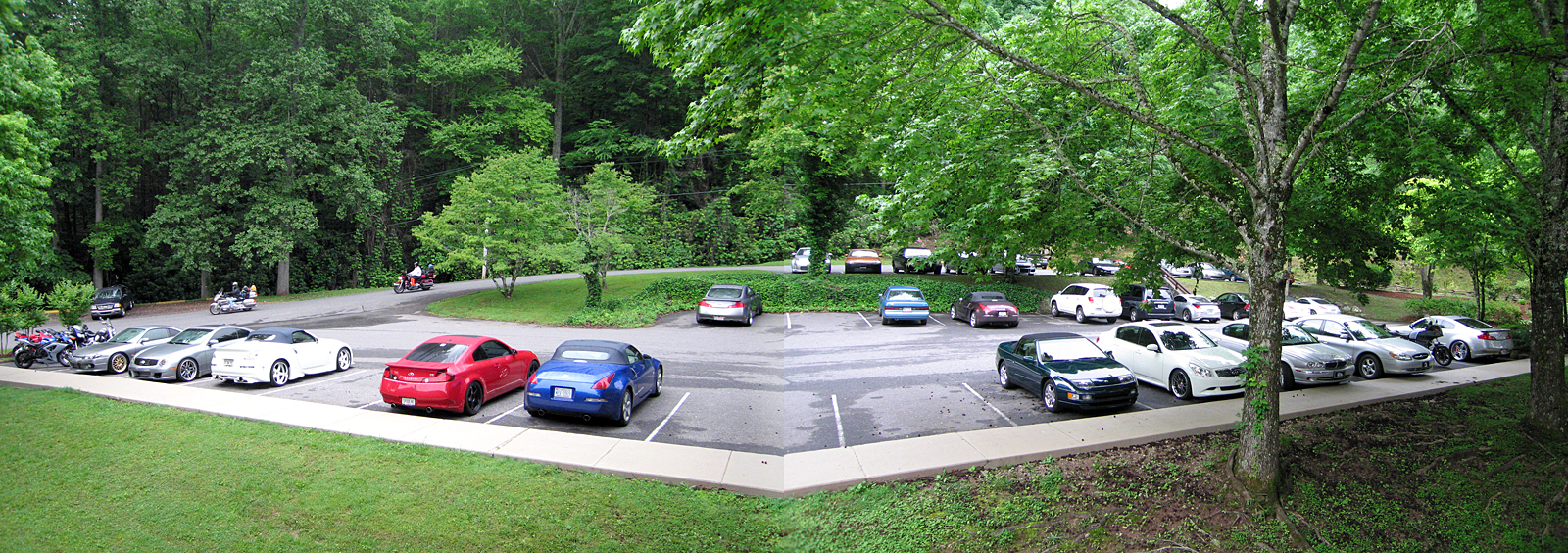
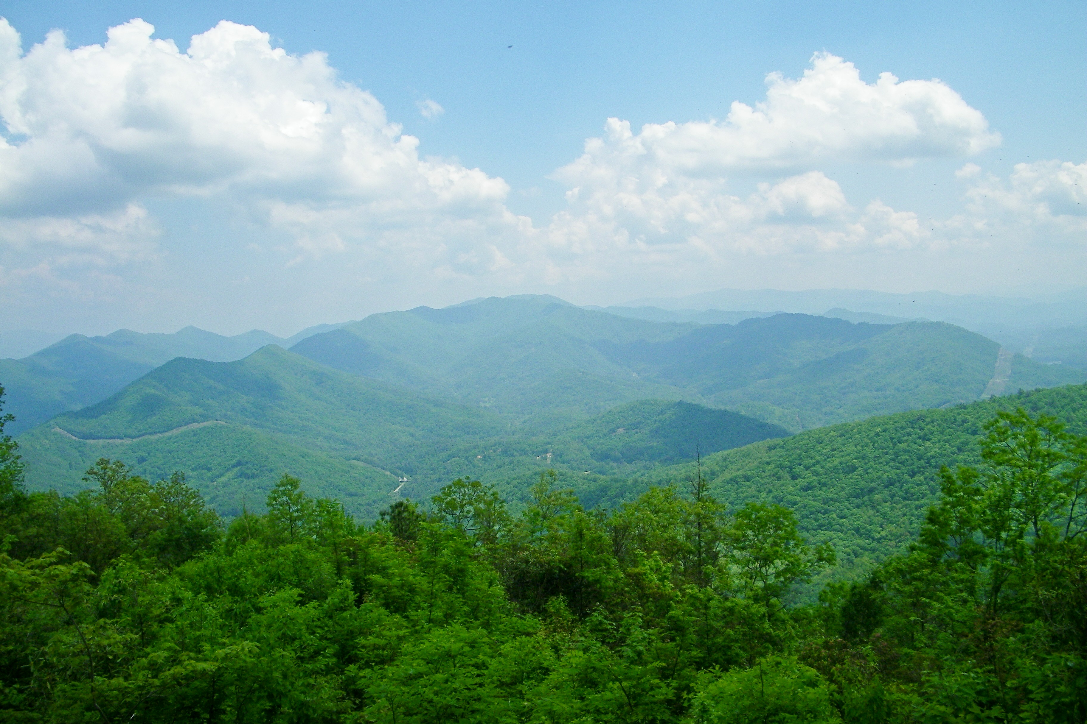
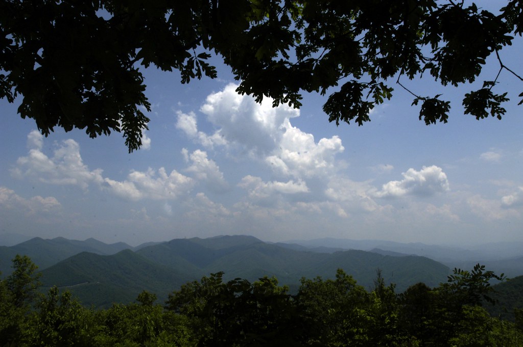
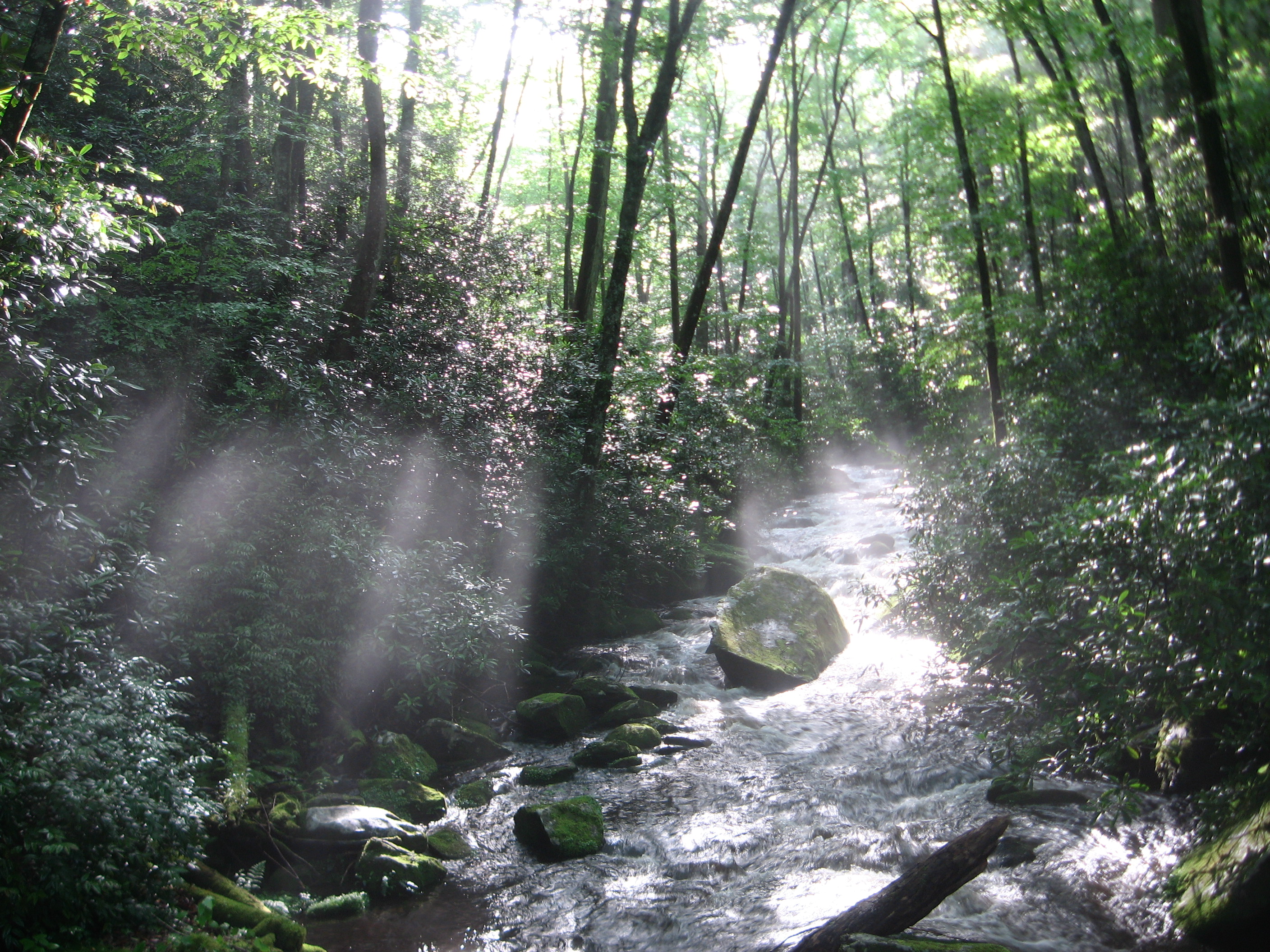
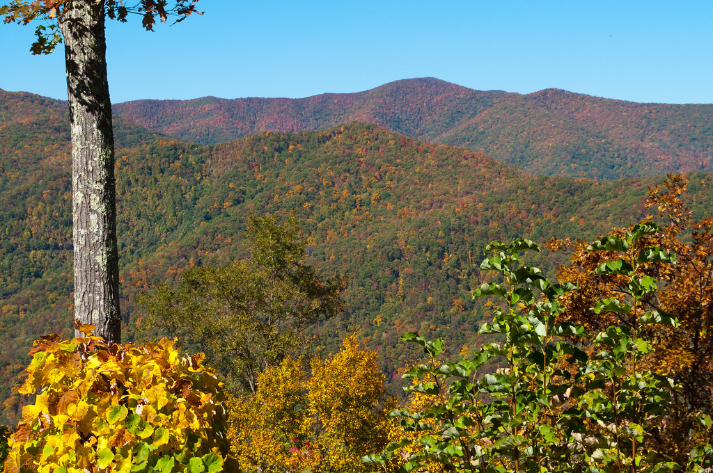
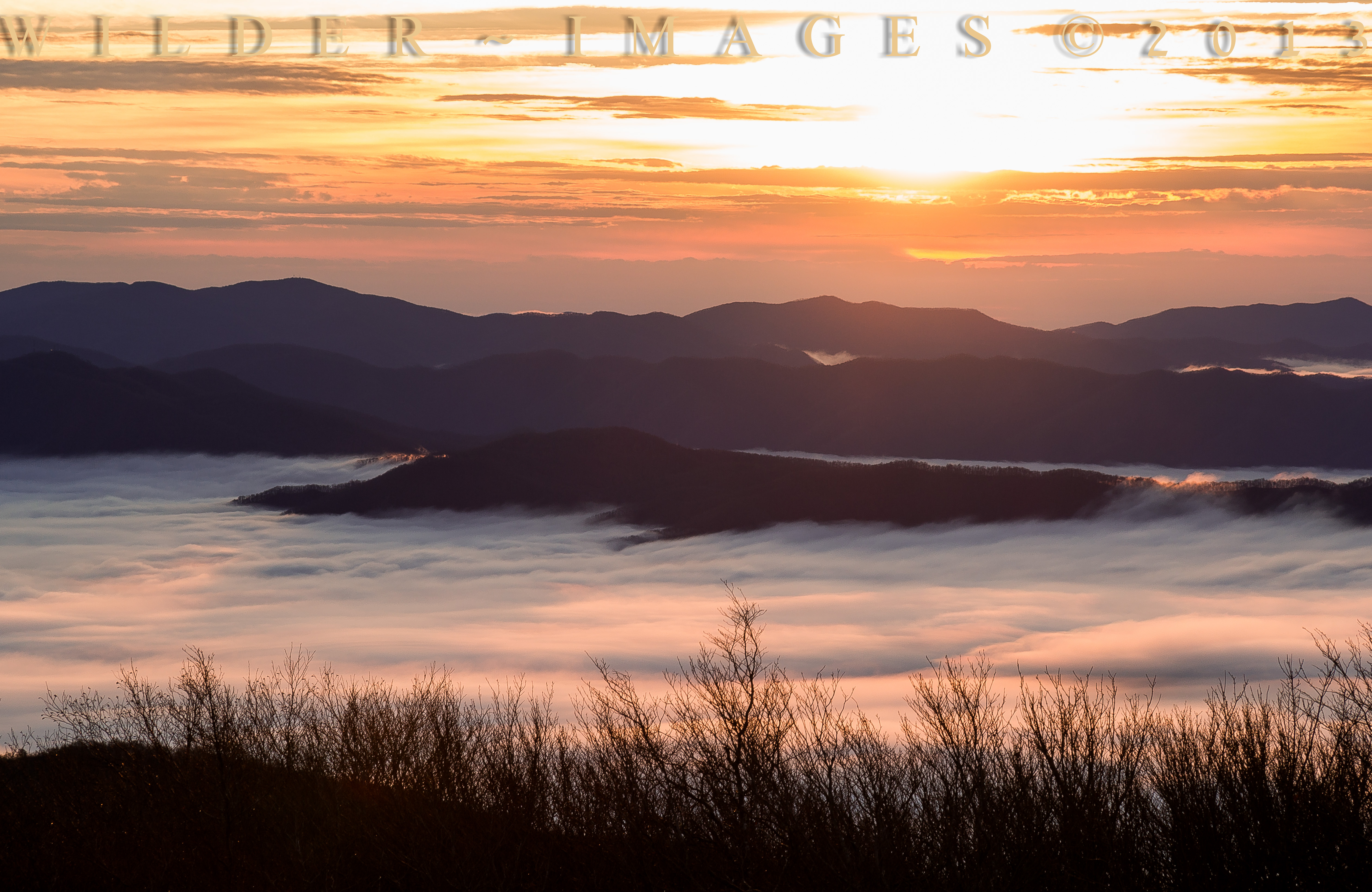
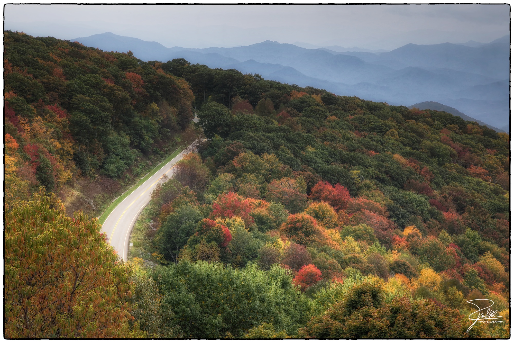
Related Photos:
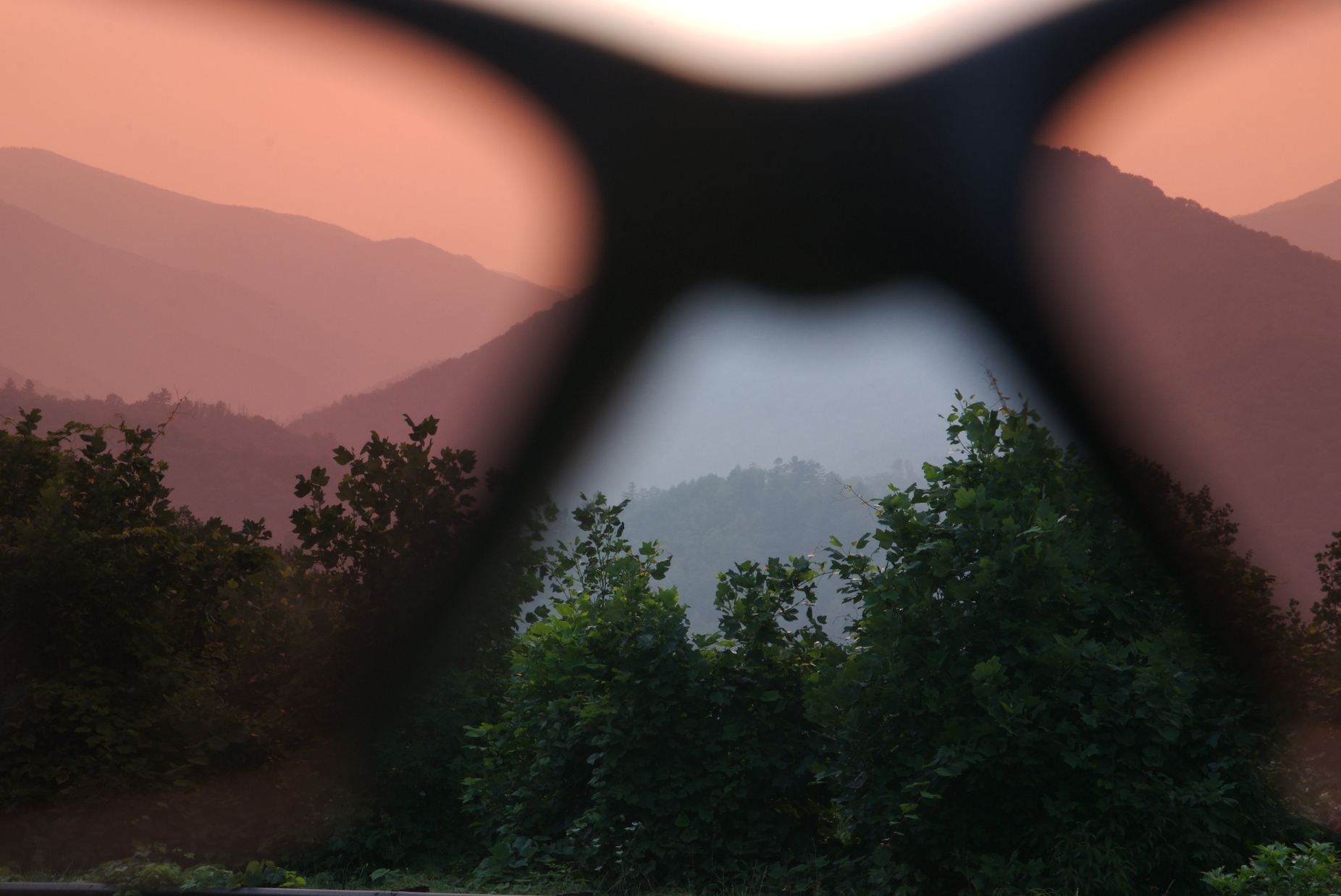
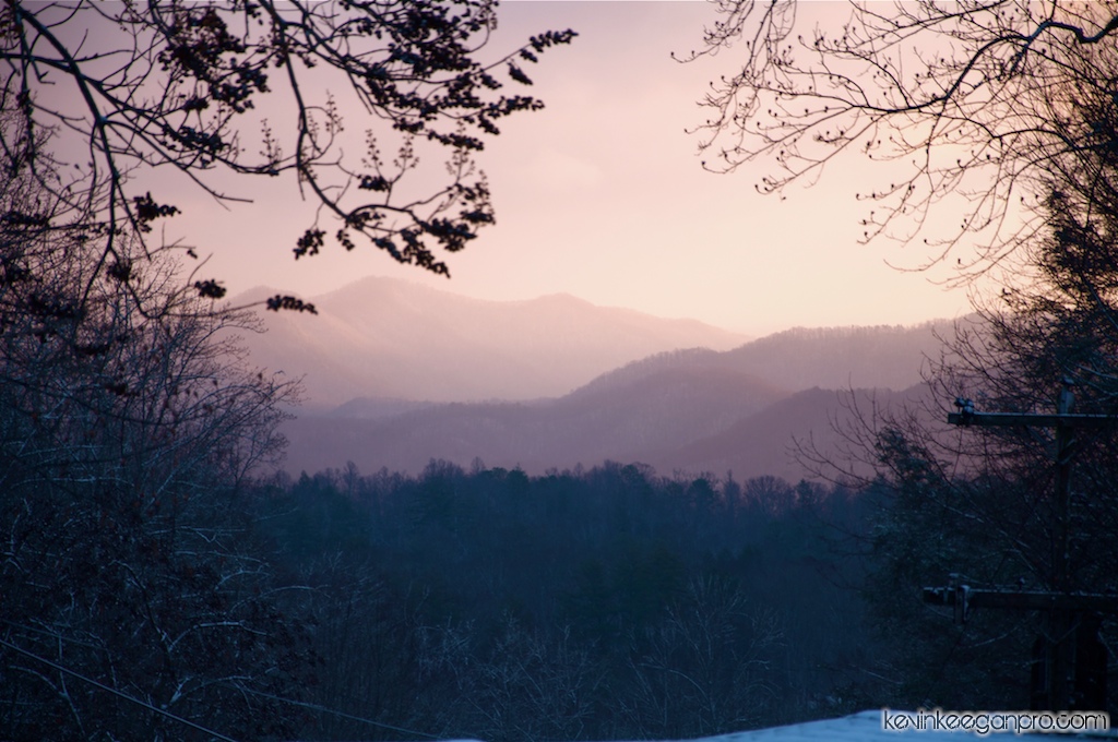
rosy filter
Back to the Smokies in 33 days and counting
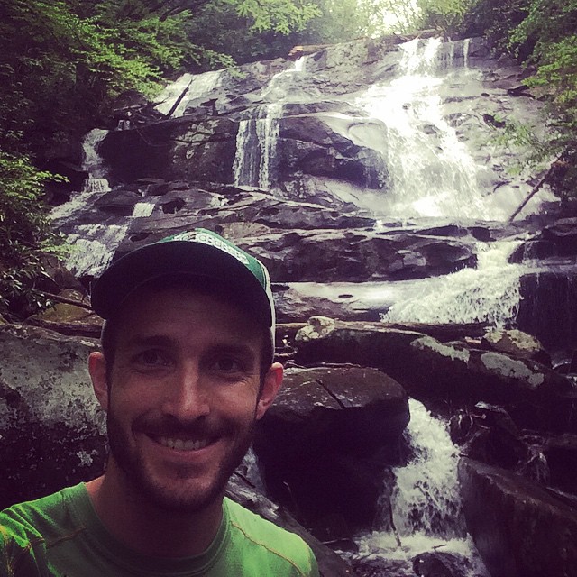
Sassafras Falls in the #snowbird wilderness...couldn't find the trail so we hiked up the creek...a well earned view :) #brysoncityoutdoors #lifeoutside
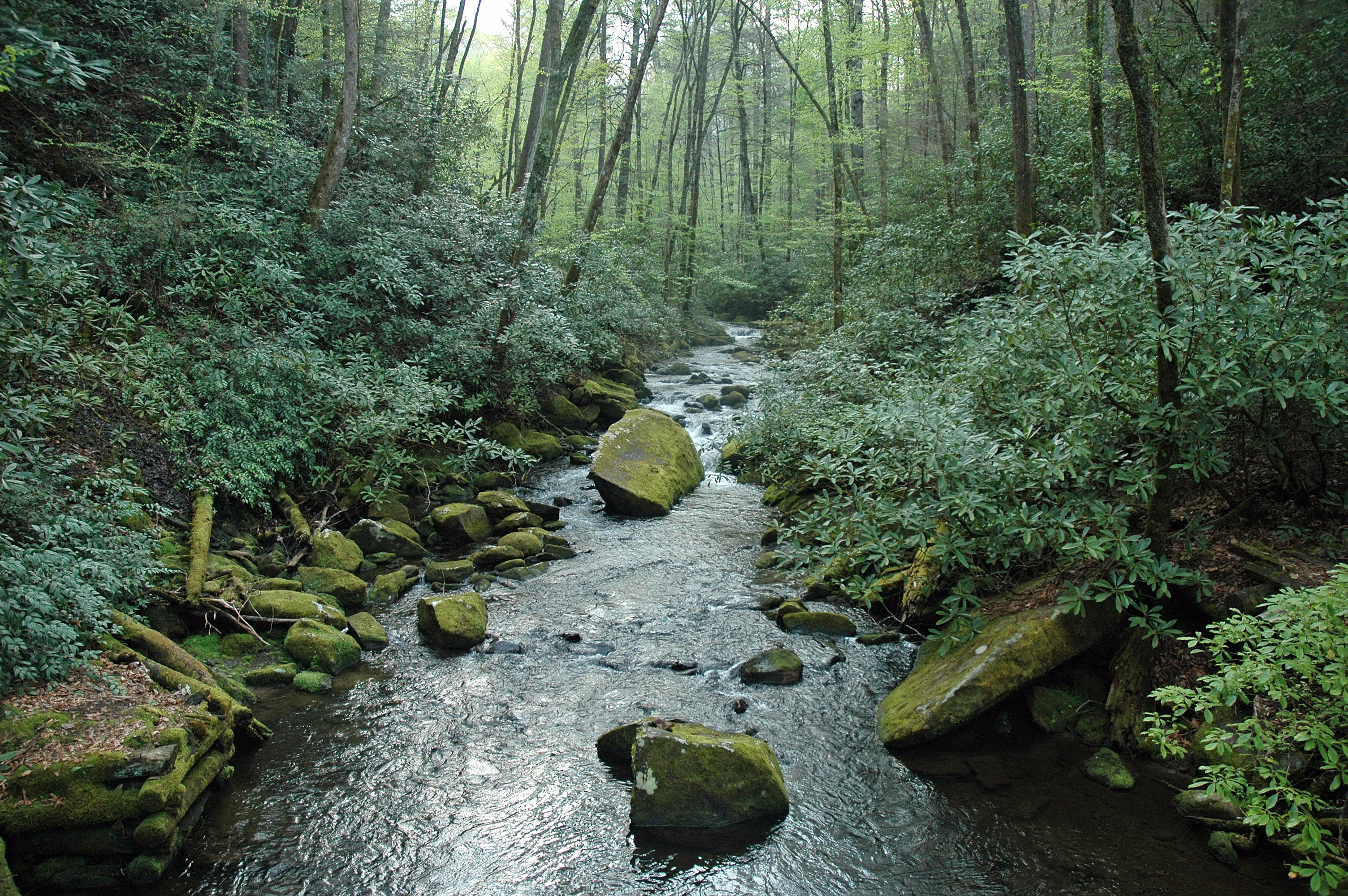
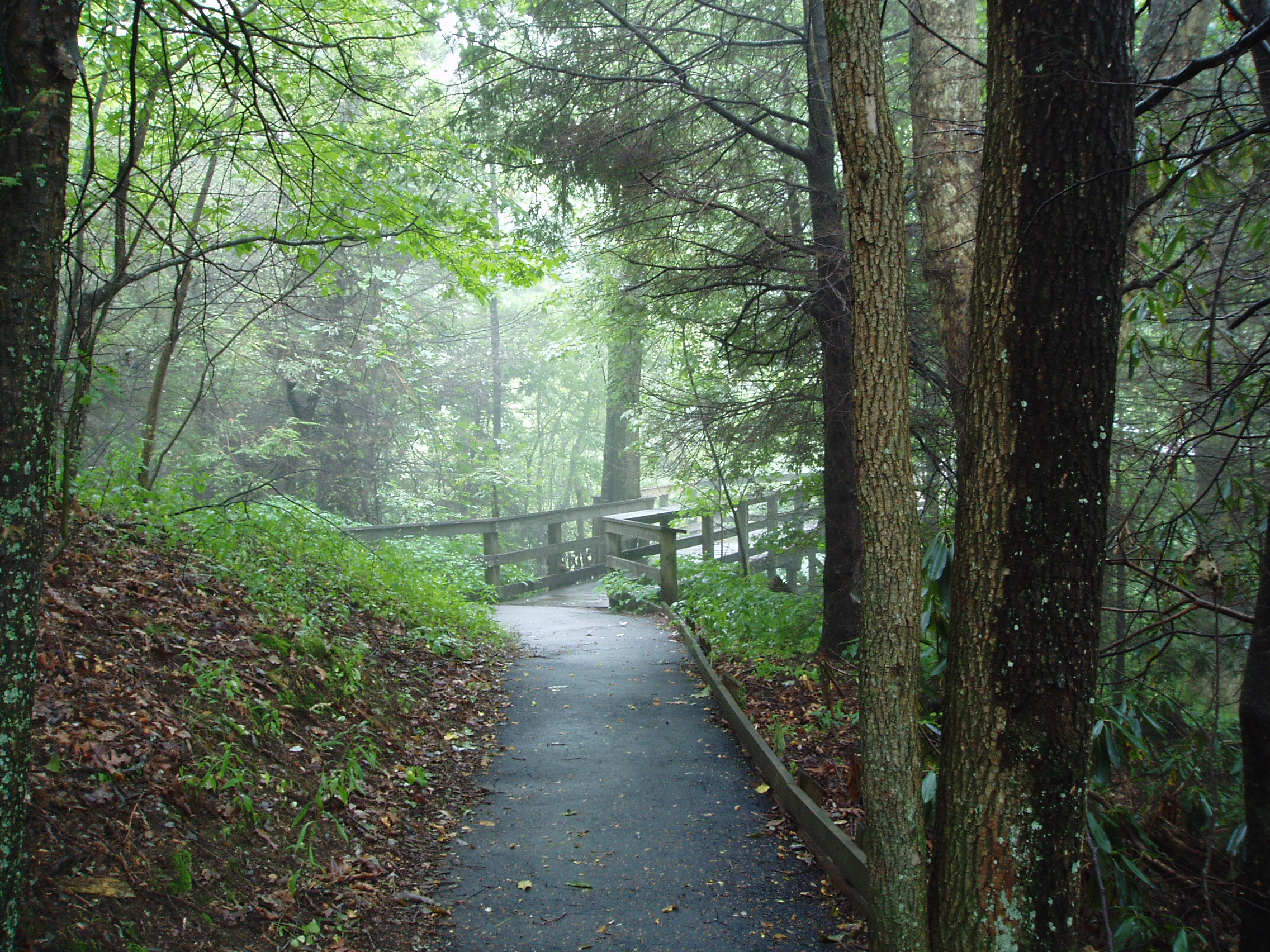
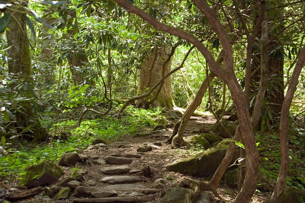
the sylvan way
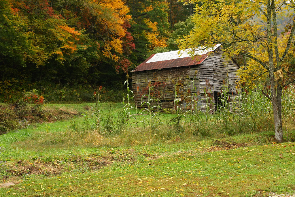
Historic Log Structures
i was up above it
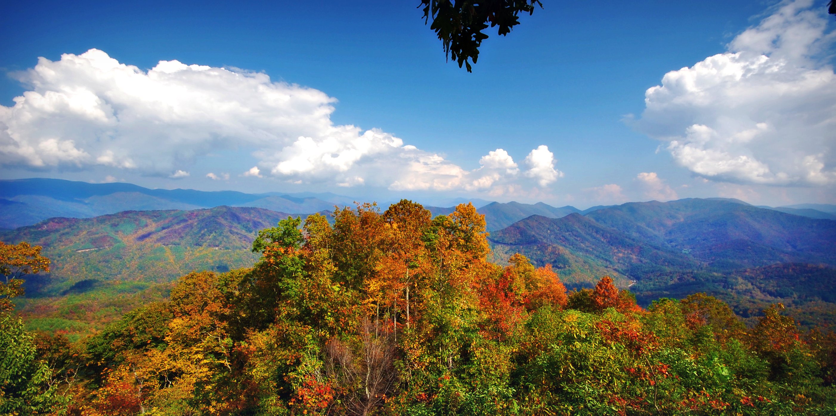
Cherohala Skyway
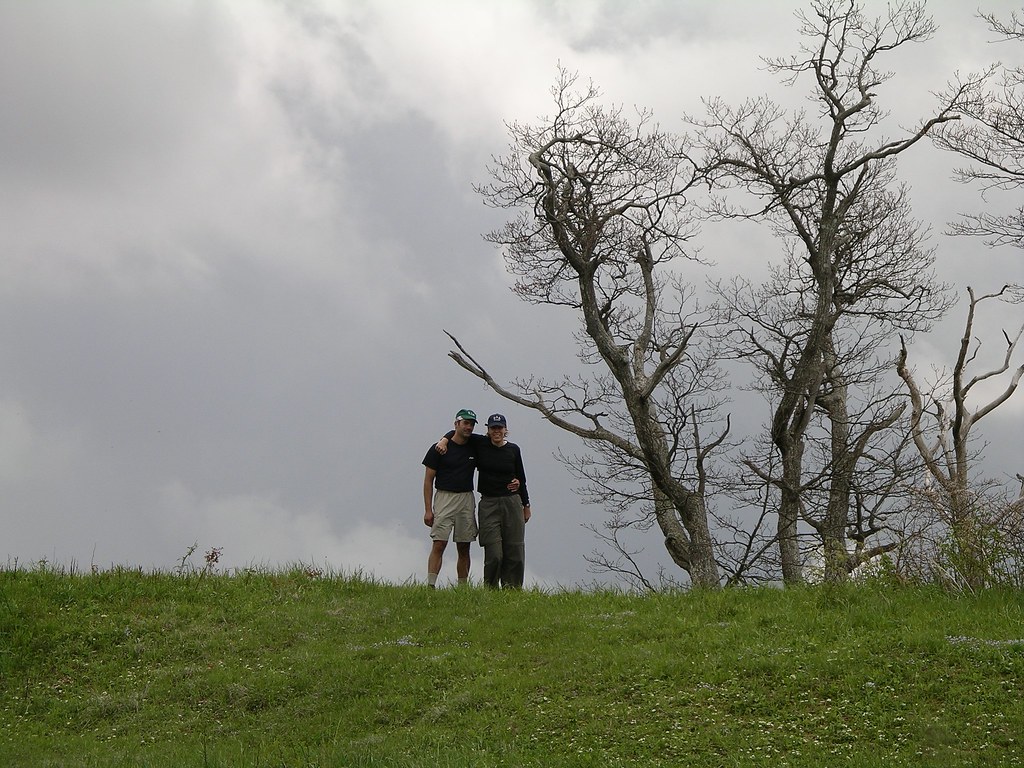
Mike and Amber on Sratton Bald
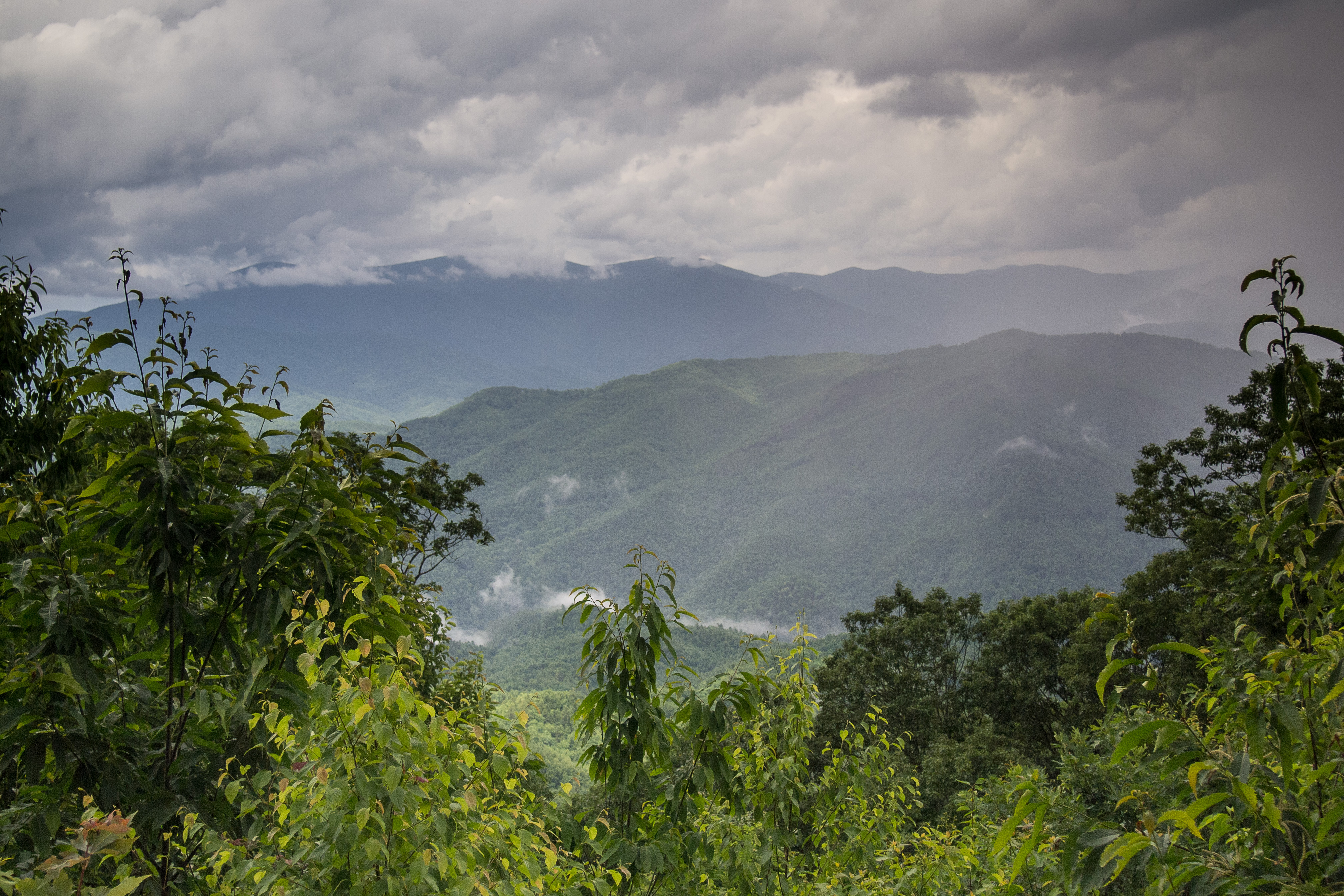
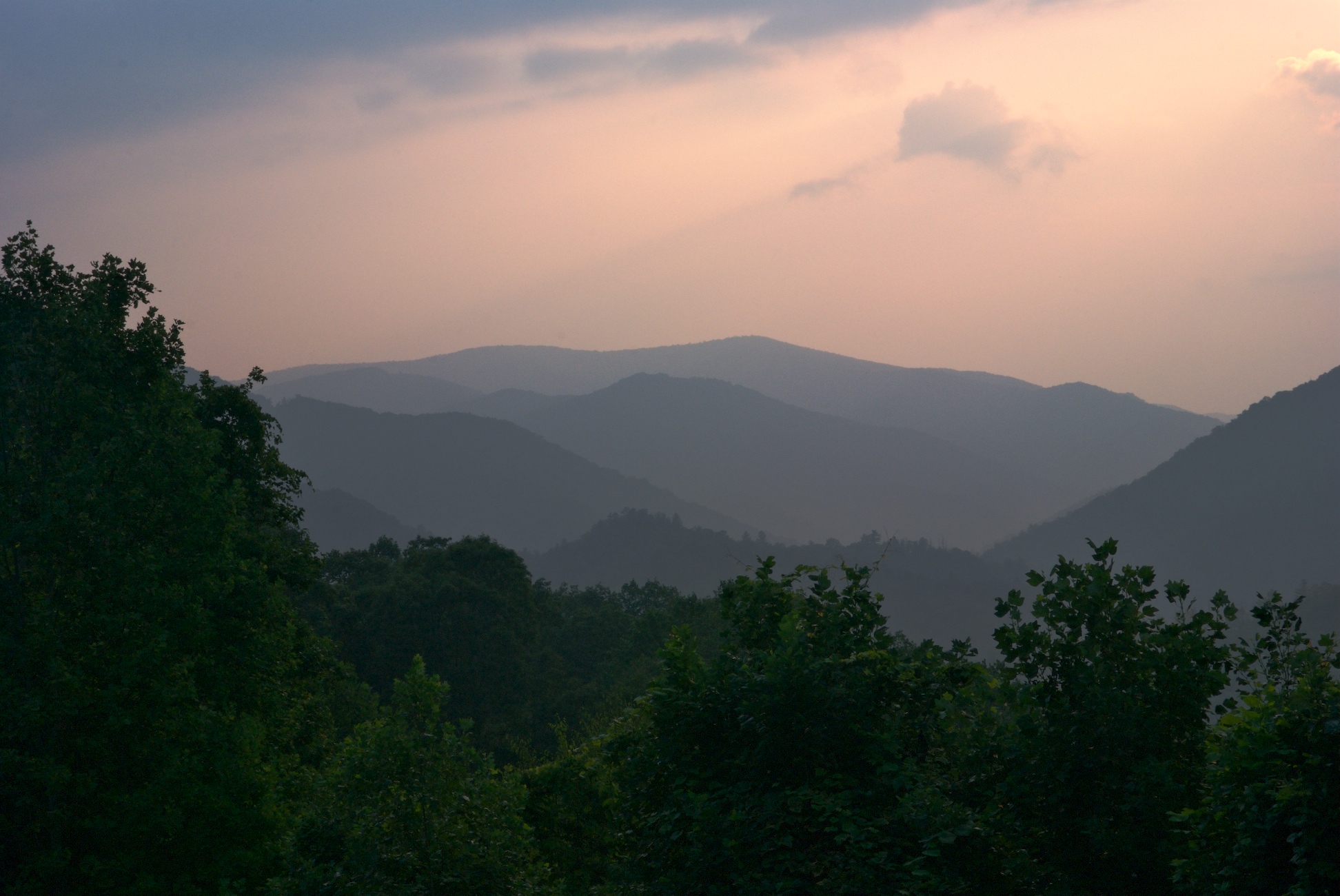
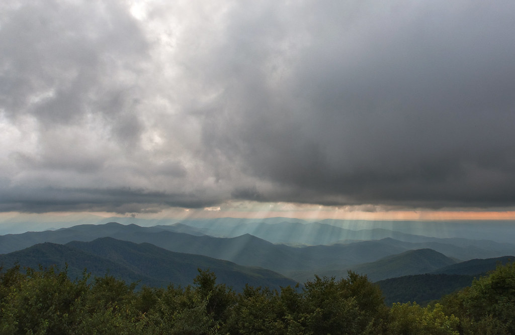
Stormy Smokeys
Maple Springs Overlook
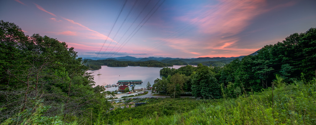
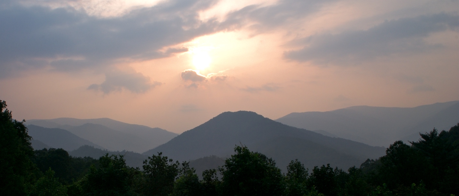
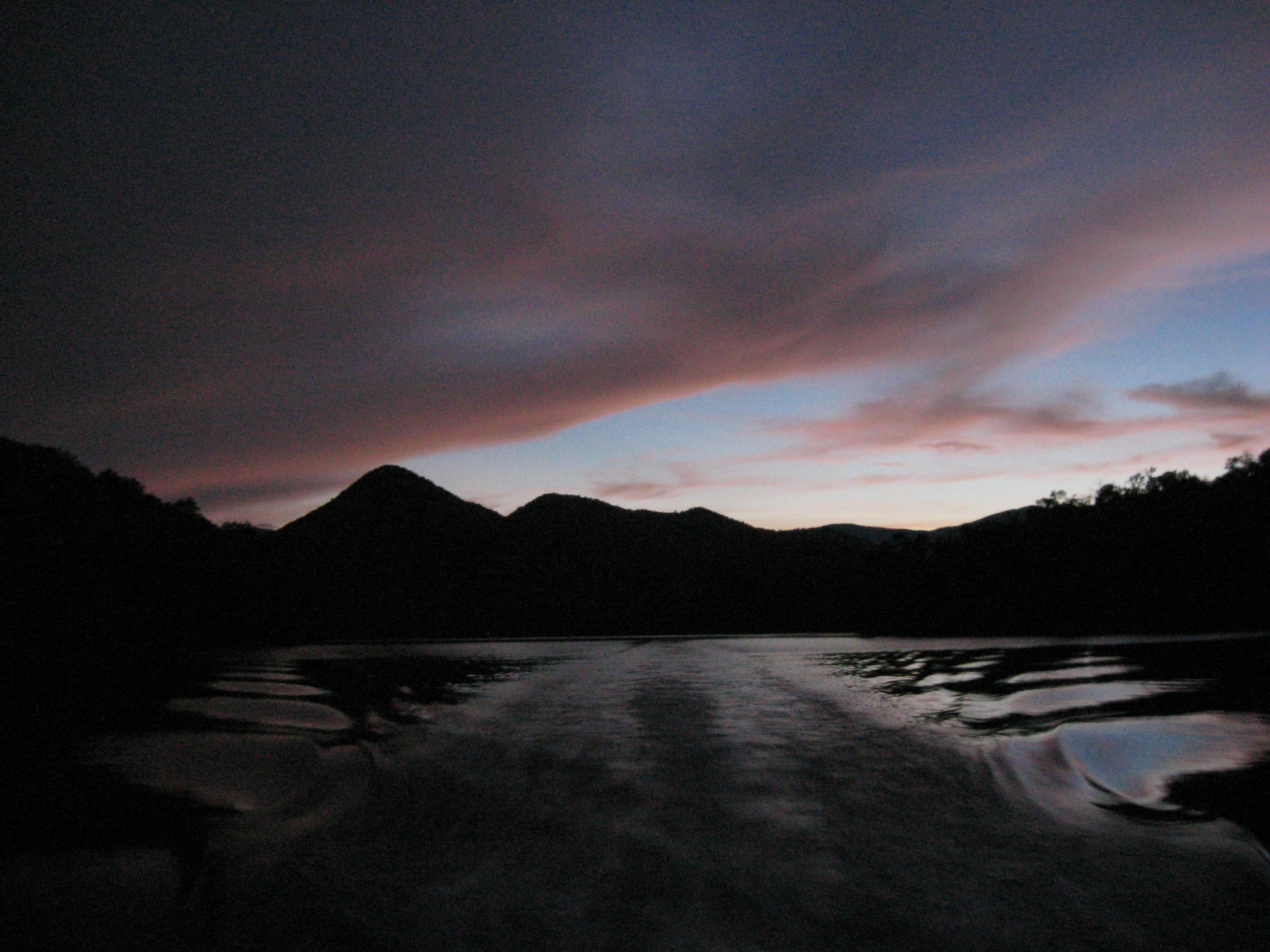
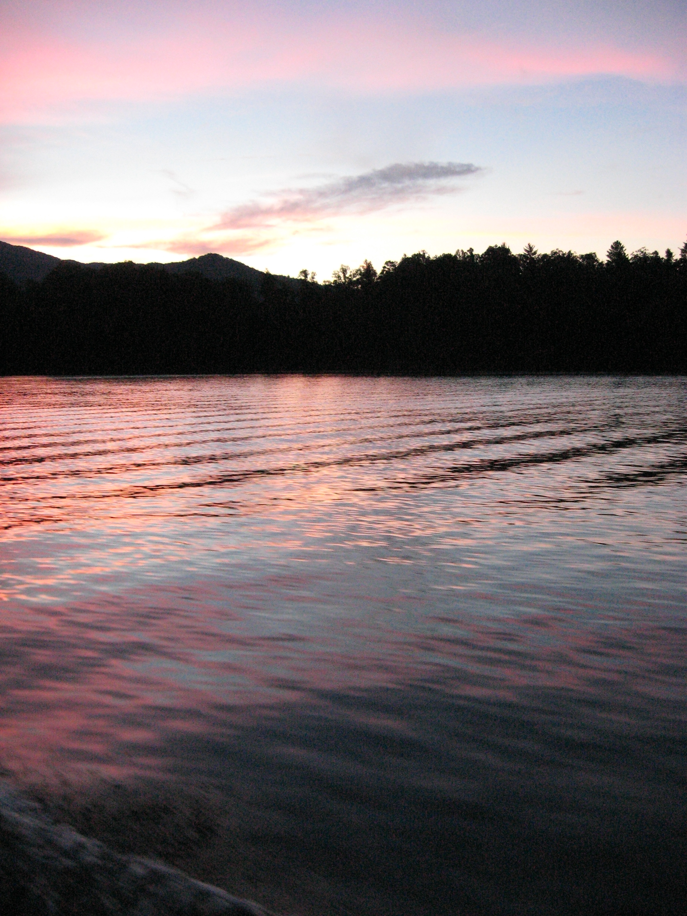
Sunset by the Dragon
View from Santeetlah picnic area 5,390 ft.
View Out My Window
Maple Springs Observation Point

Maple Springs Observation Point

Panoramic View from Hooper Bald
DSC_6551.jpg

Reading by the fire

View from Naked Ground

View from Naked Ground
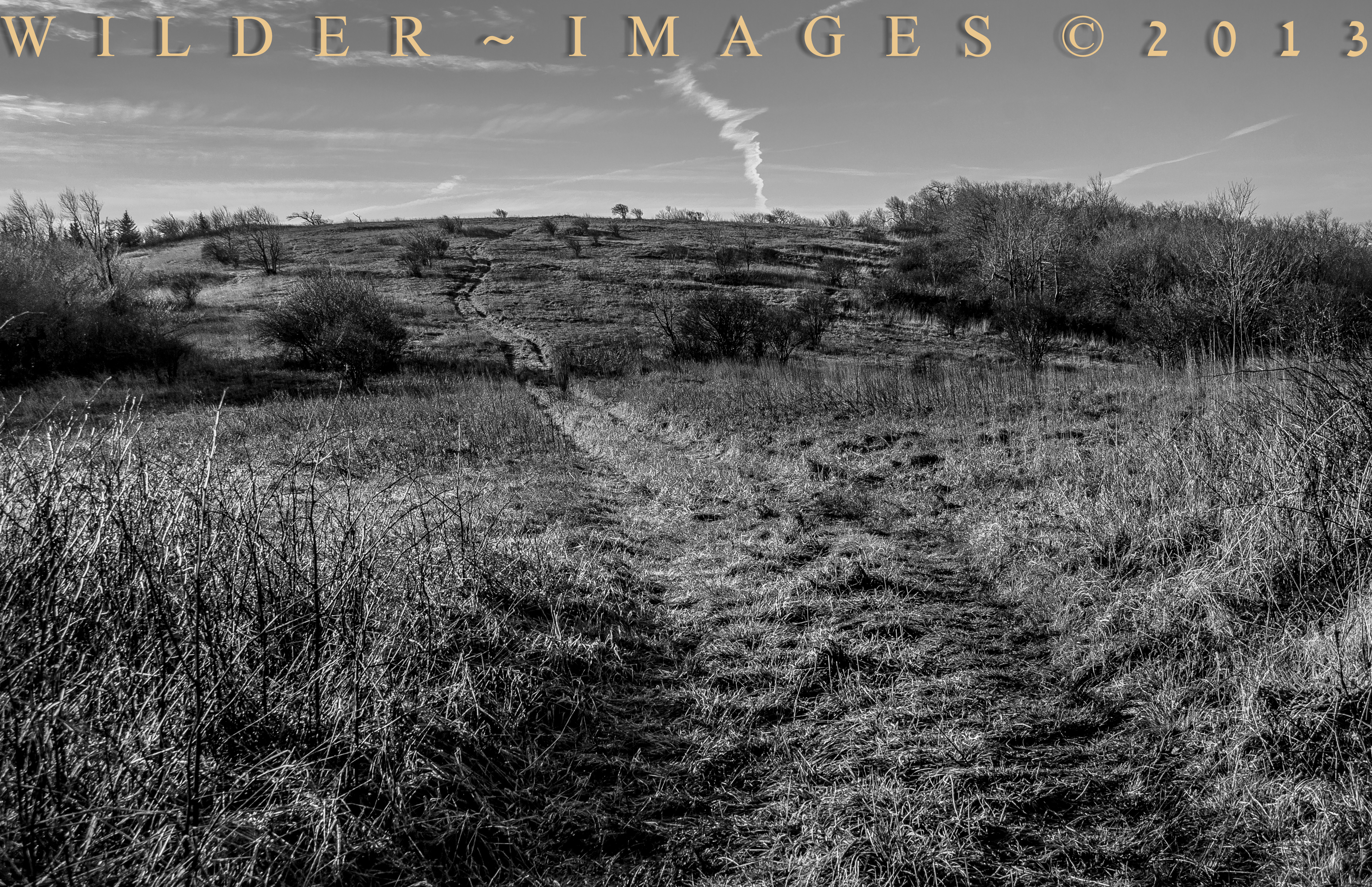
Beginning of the trail
God Fingers
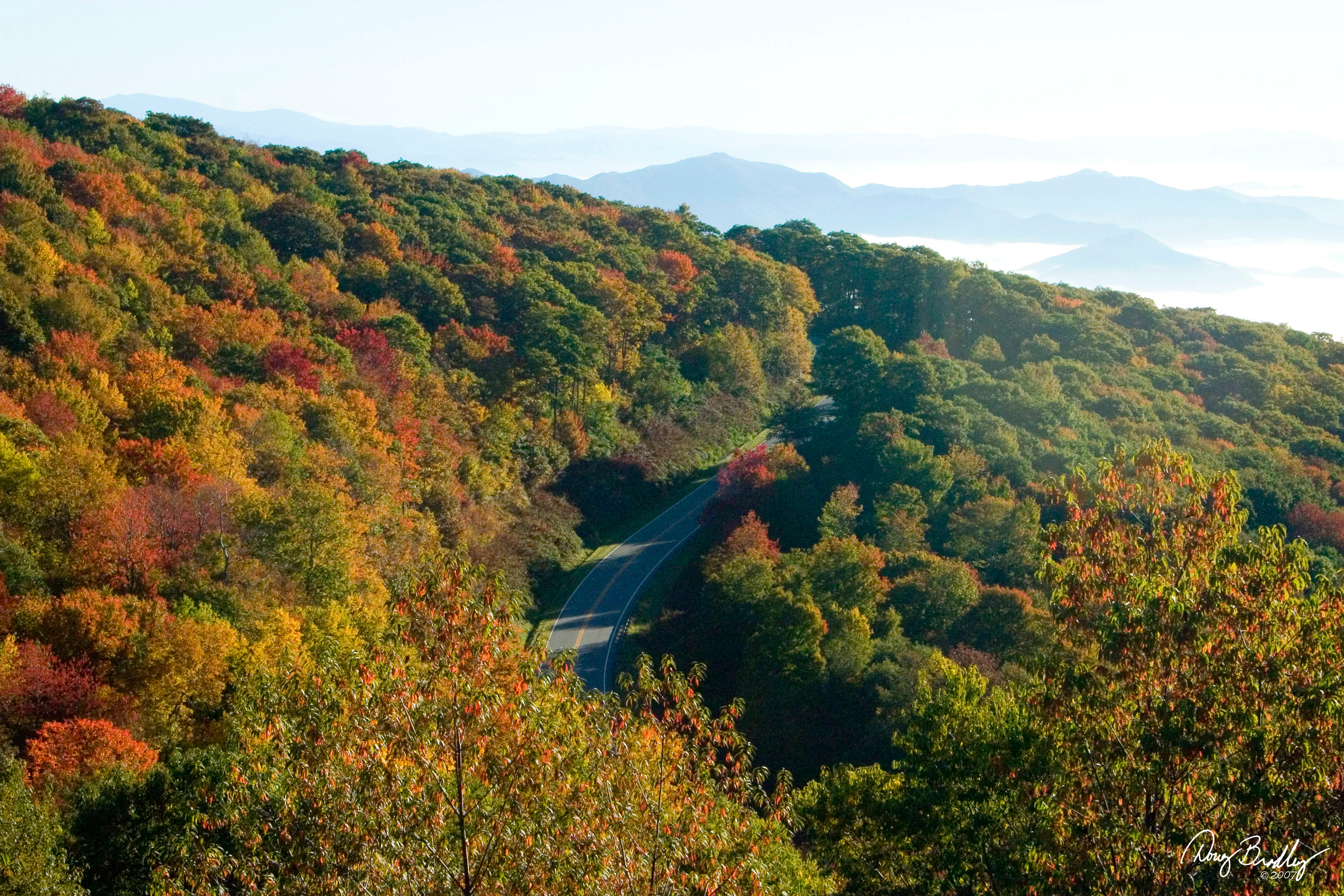
Cherohala Skyway

Blue Vista
Into the Woods
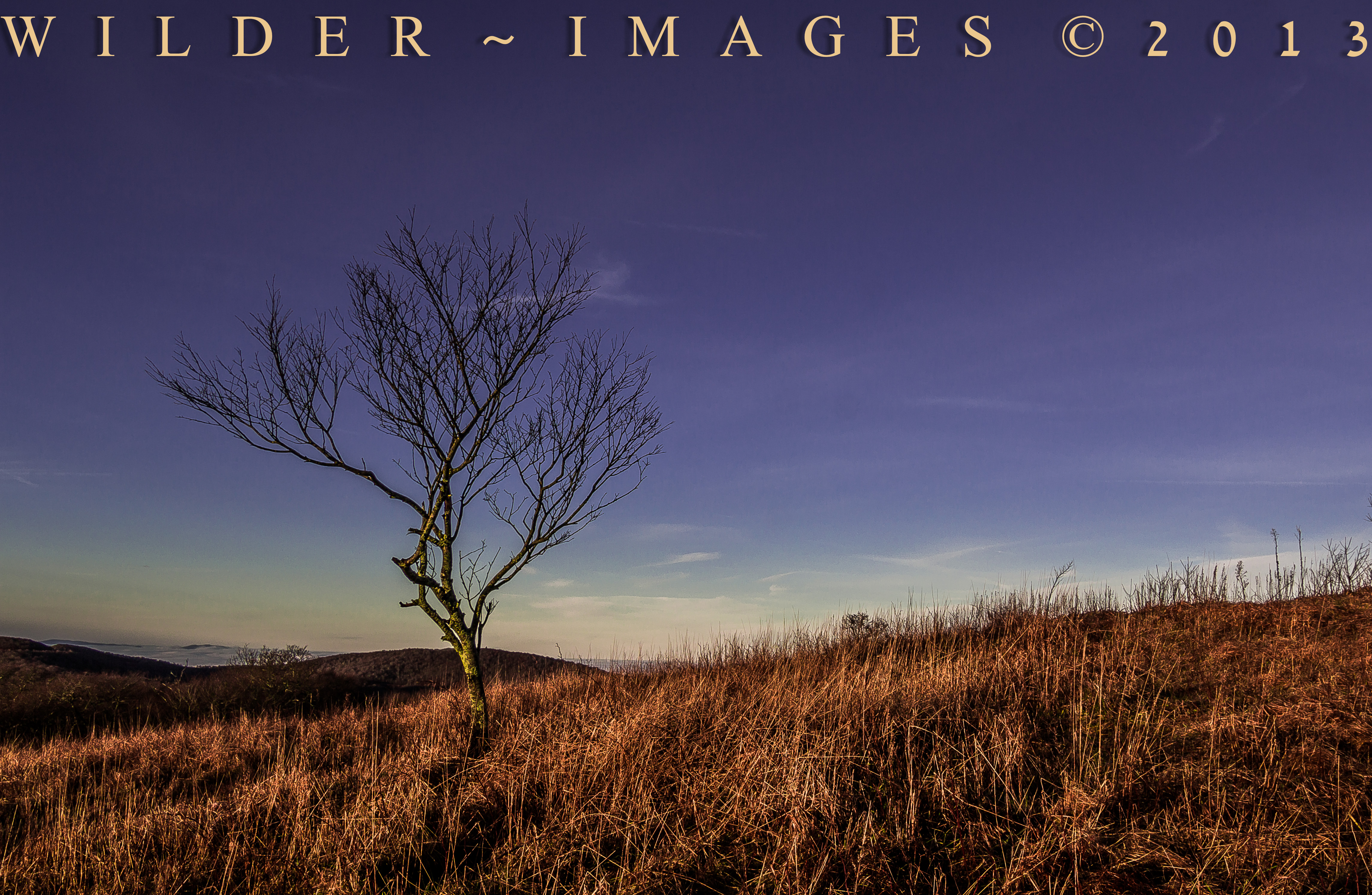
"HOME ON HIGH"

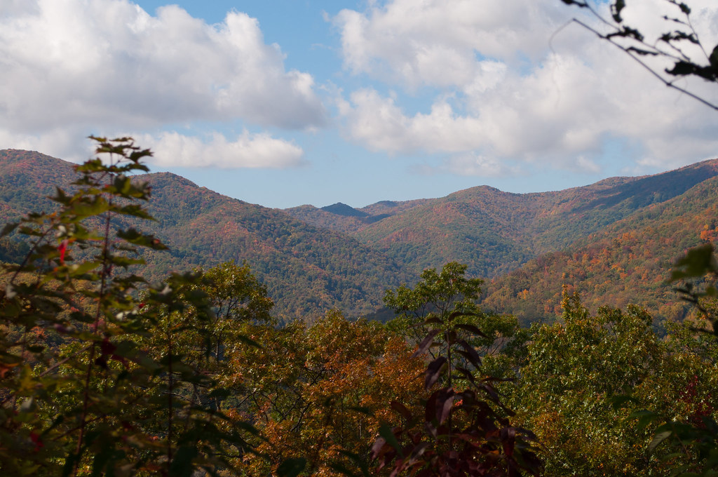
The hills and roads tucked in the mountains in Tennessee
Obadiah Gap on the Cherohala Skyway

Graham County Railroad - Robbinsville scale track
"SEA OF CLOUDS"
Blue Waters 2012
Cherohala Skyway
Blue Waters 2012
DSC_6812.NEF
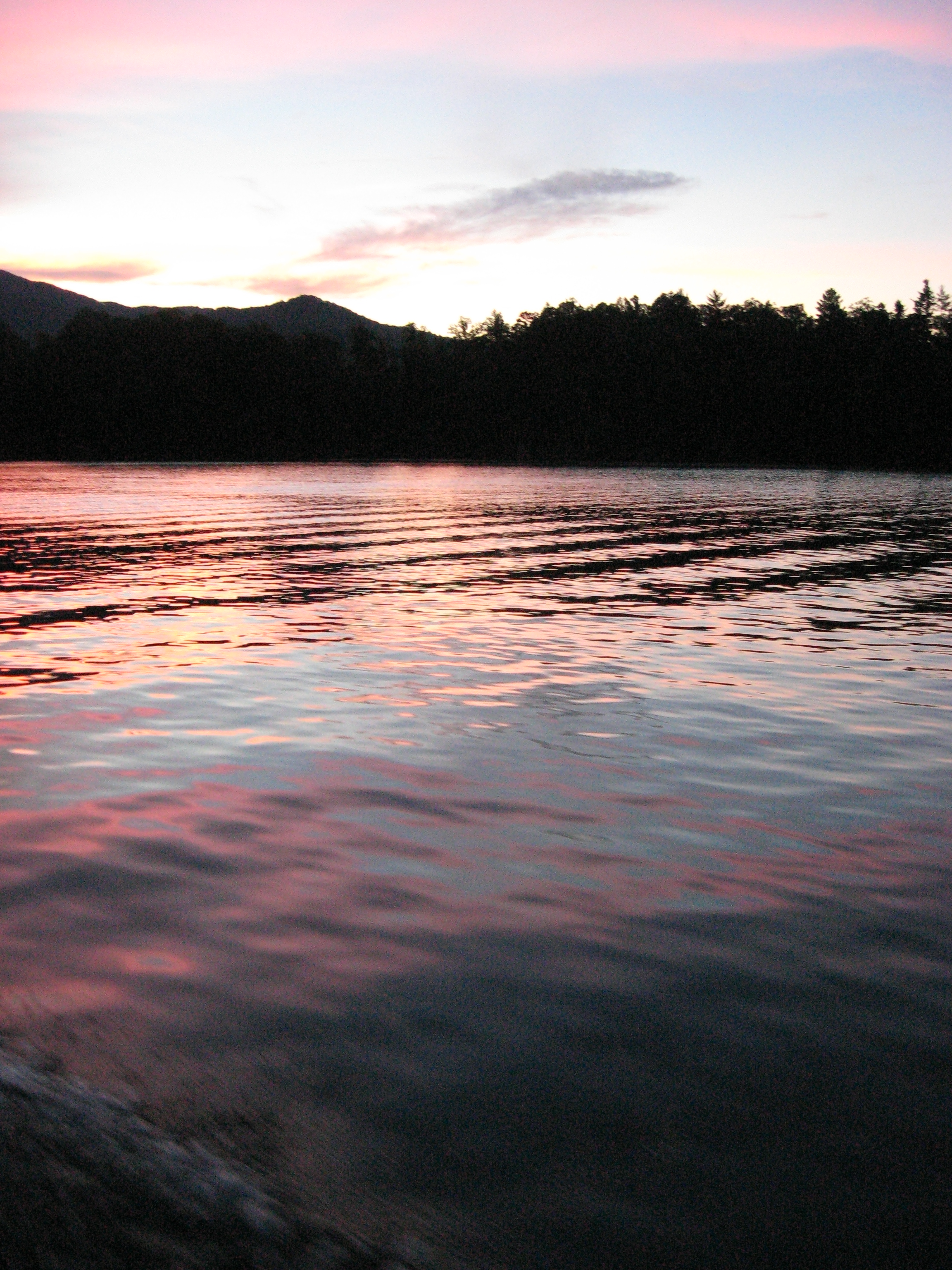
Blue Waters 2012

Graham County Railroad - Franks Creek, North Carolina
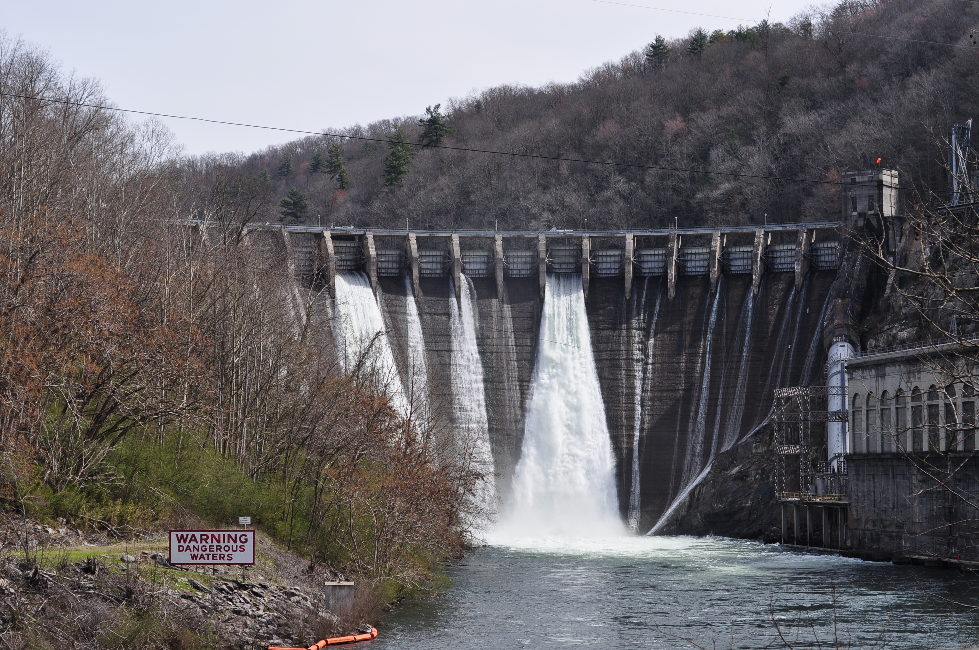
DSC_7305_ Cheoah Dam, NC, USA

Blue Waters 2012
Blue Waters 2012
"THE PATH"
On the Cherohala Skyway
Topographic Map of Riverview Dr, Robbinsville, NC, USA
Find elevation by address:

Places near Riverview Dr, Robbinsville, NC, USA:
345 Riverview Dr
7168 Snowbird Rd
77 Little Snowbird Rd
77 Little Snowbird Rd
77 Little Snowbird Rd
127 Snowbird Woods Rd
285 Big Snowbird Rd
550 Hard Slate Rd
Cheoah
1315 Big Snowbird Rd
694 W Buffalo Rd
460 Hunting Boy Branch Rd
4700 Little Snowbird Rd
170 Hall Jenkins Rd
Little Buffalo Road
1359 Huffman Creek Rd
861 Little Buffalo Rd
Cedar Top Road
Cole Denton Rd, Robbinsville, NC, USA
1471 Massey Branch Rd
Recent Searches:
- Elevation of Congressional Dr, Stevensville, MD, USA
- Elevation of Bellview Rd, McLean, VA, USA
- Elevation of Stage Island Rd, Chatham, MA, USA
- Elevation of Shibuya Scramble Crossing, 21 Udagawacho, Shibuya City, Tokyo -, Japan
- Elevation of Jadagoniai, Kaunas District Municipality, Lithuania
- Elevation of Pagonija rock, Kranto 7-oji g. 8"N, Kaunas, Lithuania
- Elevation of Co Rd 87, Jamestown, CO, USA
- Elevation of Tenjo, Cundinamarca, Colombia
- Elevation of Côte-des-Neiges, Montreal, QC H4A 3J6, Canada
- Elevation of Bobcat Dr, Helena, MT, USA