Elevation of Riverside Campground Road, Riverside Campground Rd, Currituck, NC, USA
Location: United States > North Carolina > Beaufort County > Pantego > Belhaven >
Longitude: -76.515808
Latitude: 35.5845416
Elevation: 1m / 3feet
Barometric Pressure: 101KPa
Elevation Map:
Satellite Map:
Related Photos:
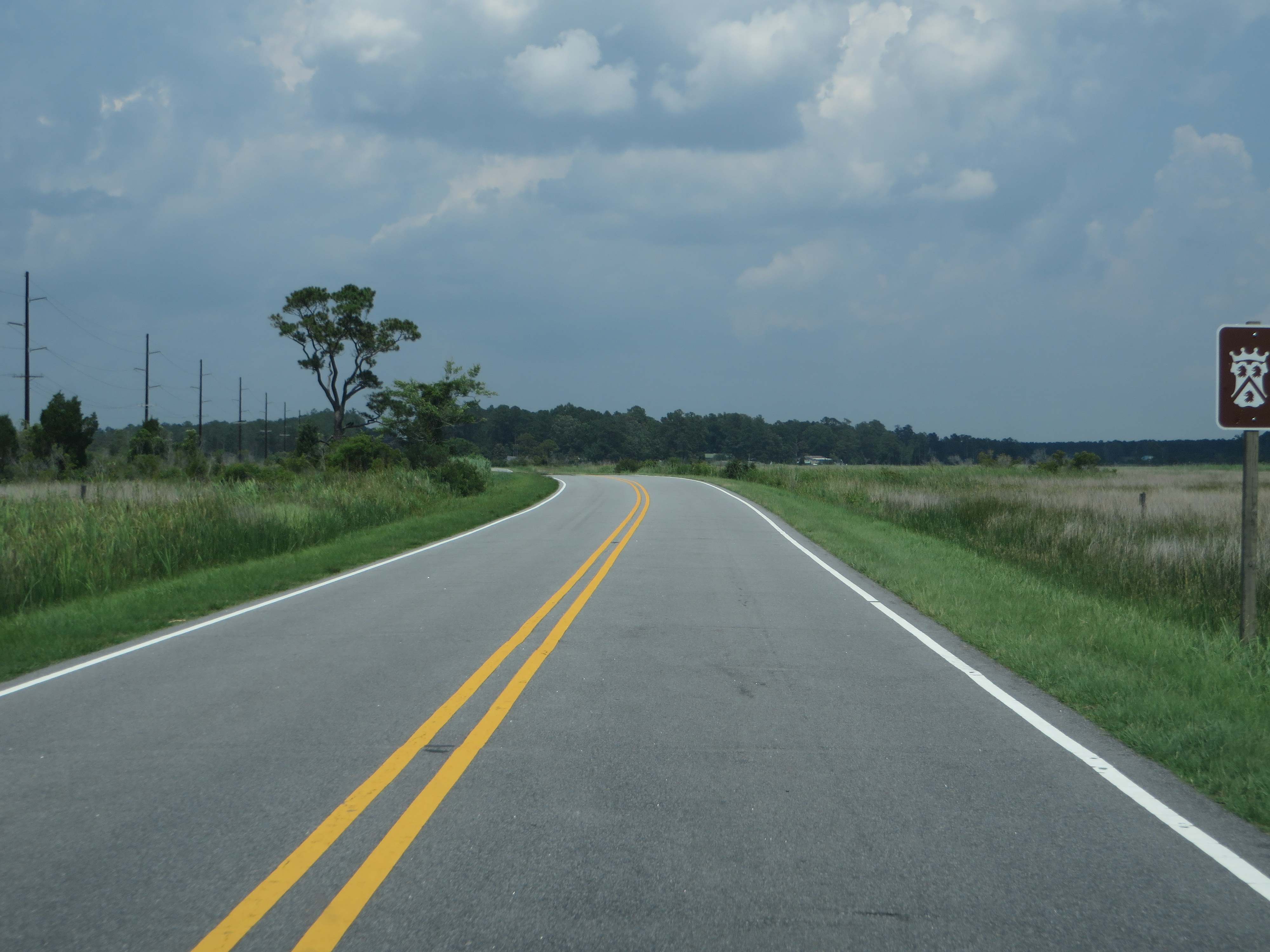
U.S. 264 Near Pungo River, North Carolina
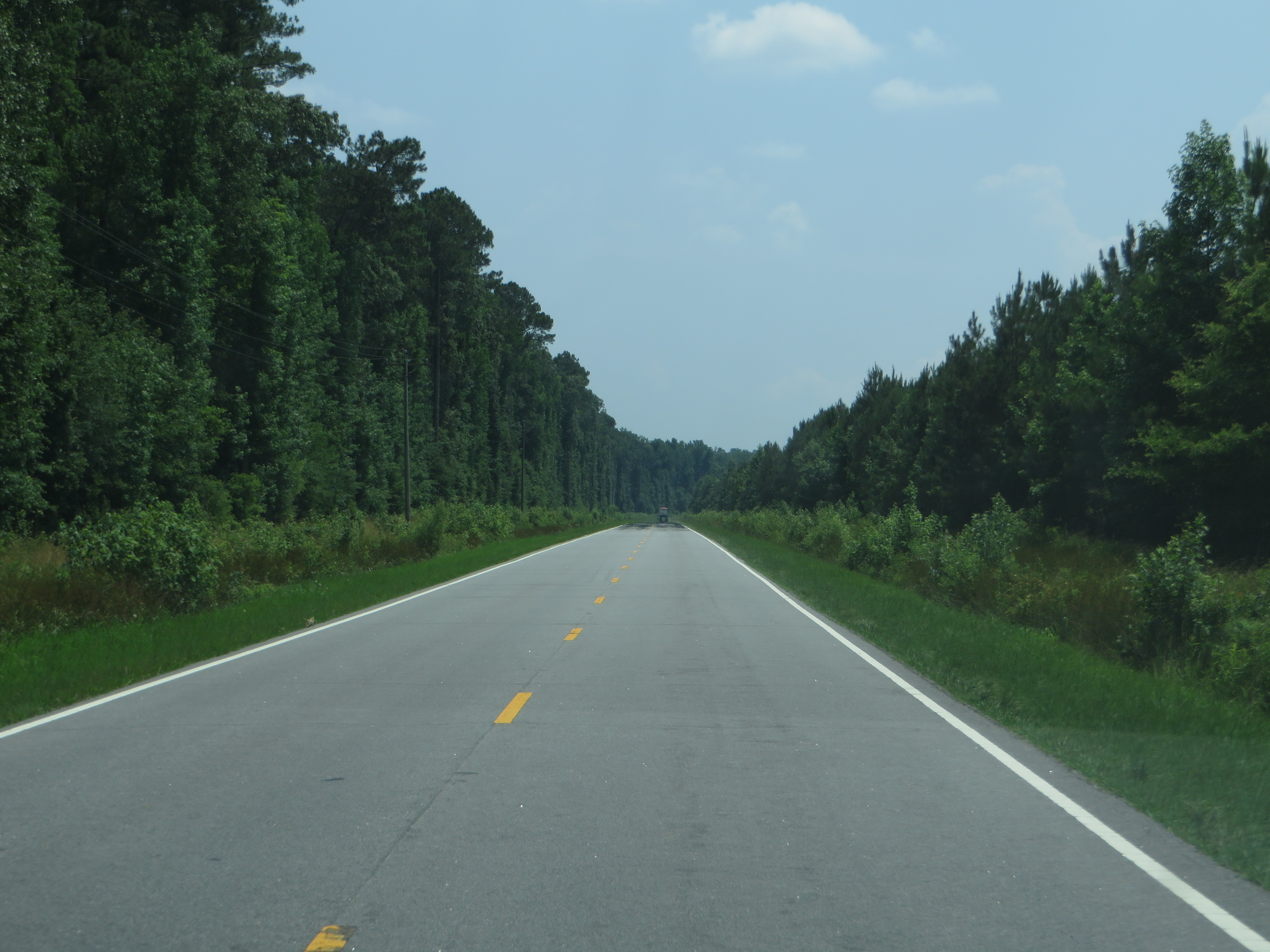
U.S. 264, Between Belhaven and Swan Quarter, North Carolina

Belhaven, NC

Traveling to Swan Quarter, NC
Alligator River, NC

Alligator River, NC
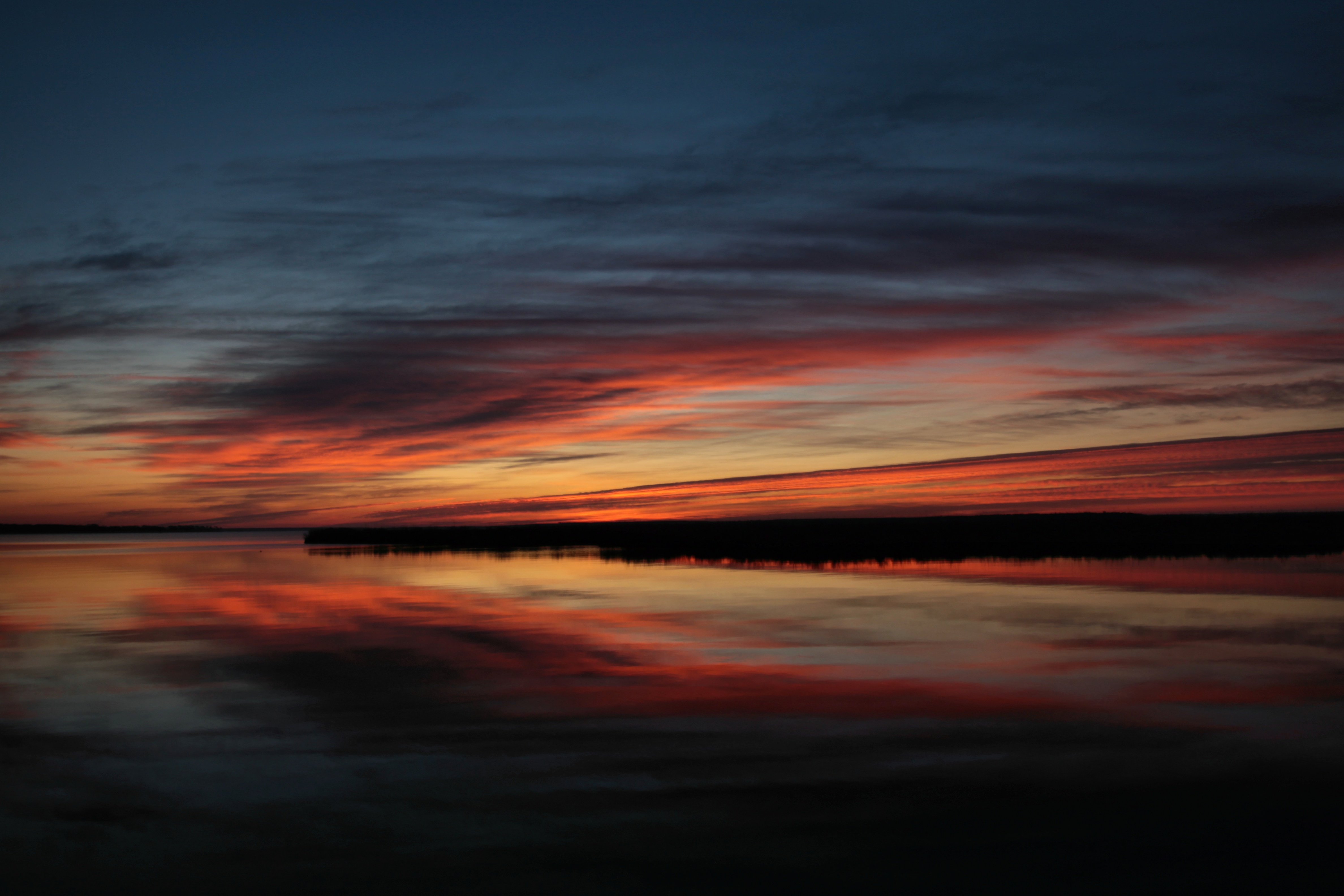
Pungo River sunrise
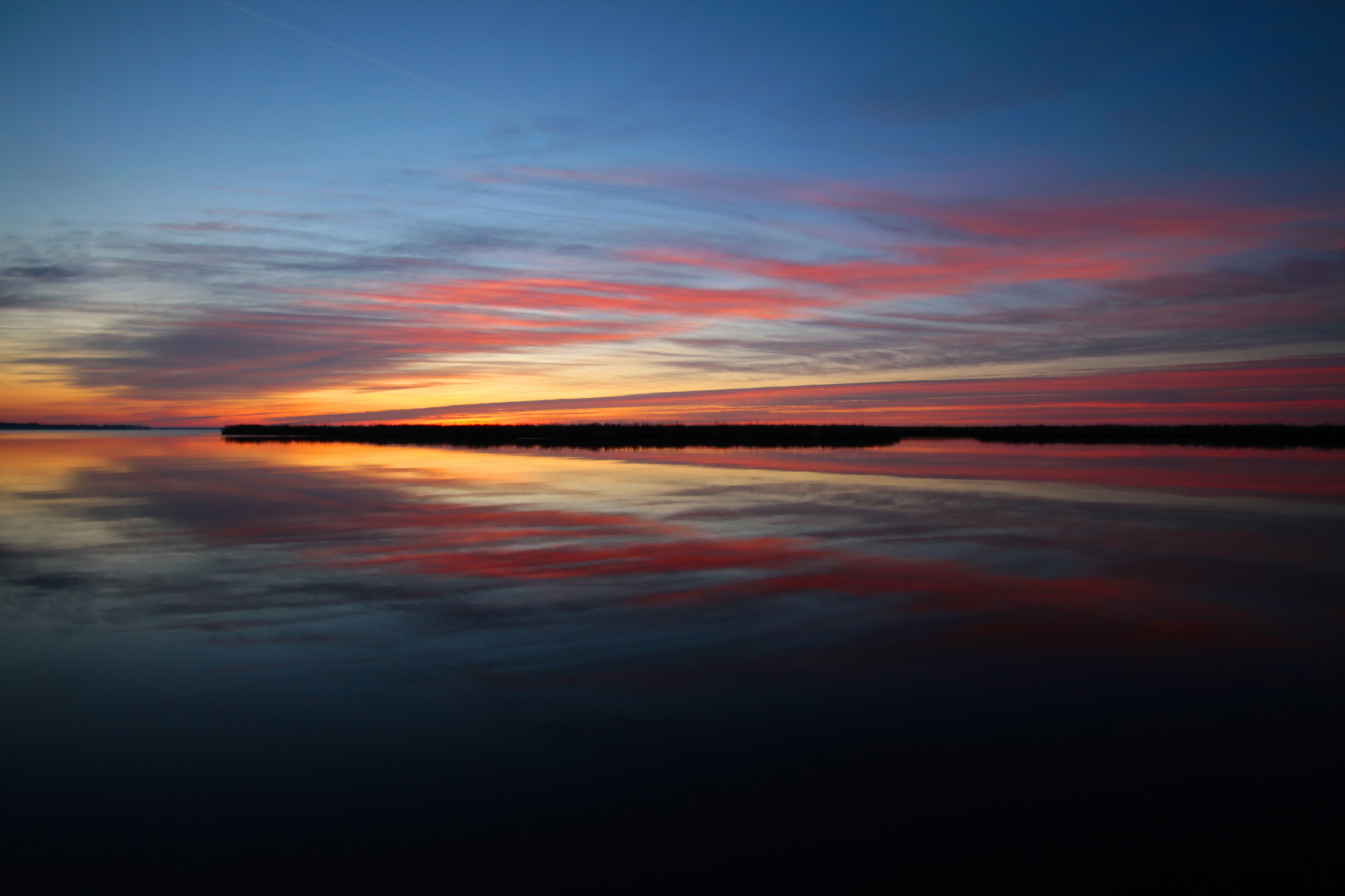
Pungo River sunrise

Pungo River sunrise
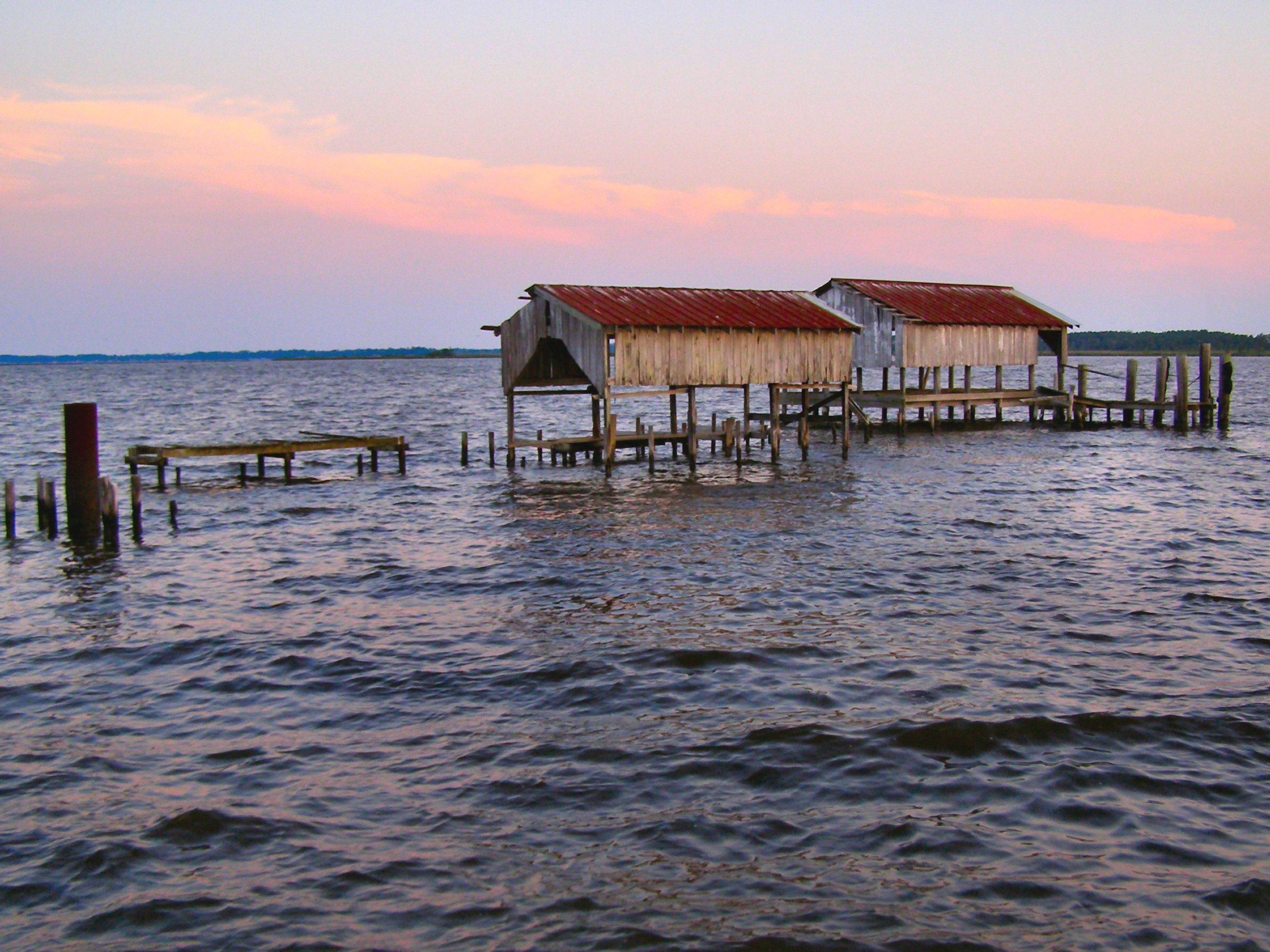
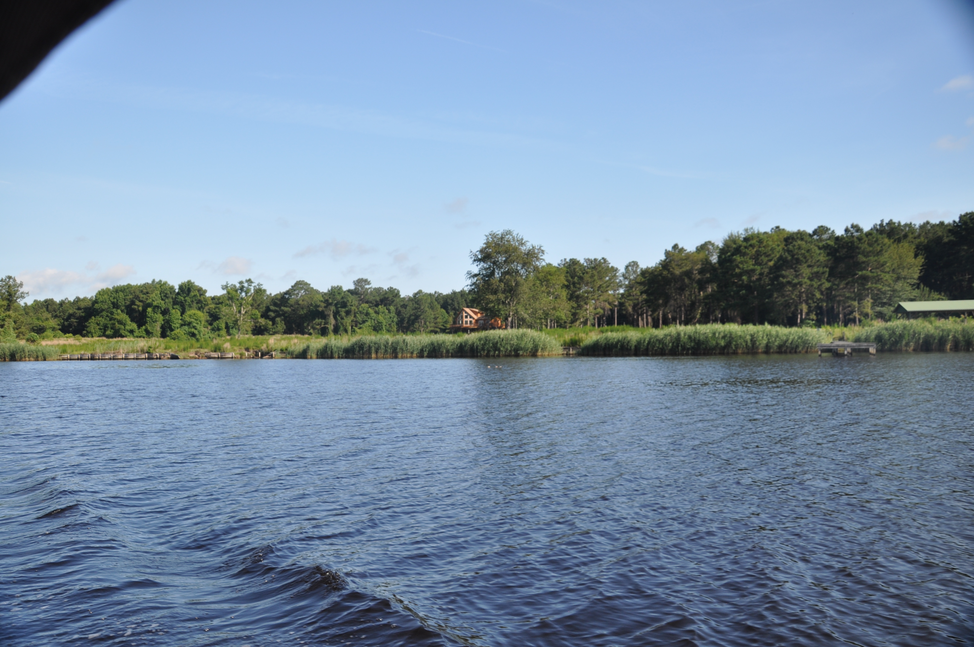
Pantego Creek Belhaven

Sunrise at Pocosin Lakes NWR, NC
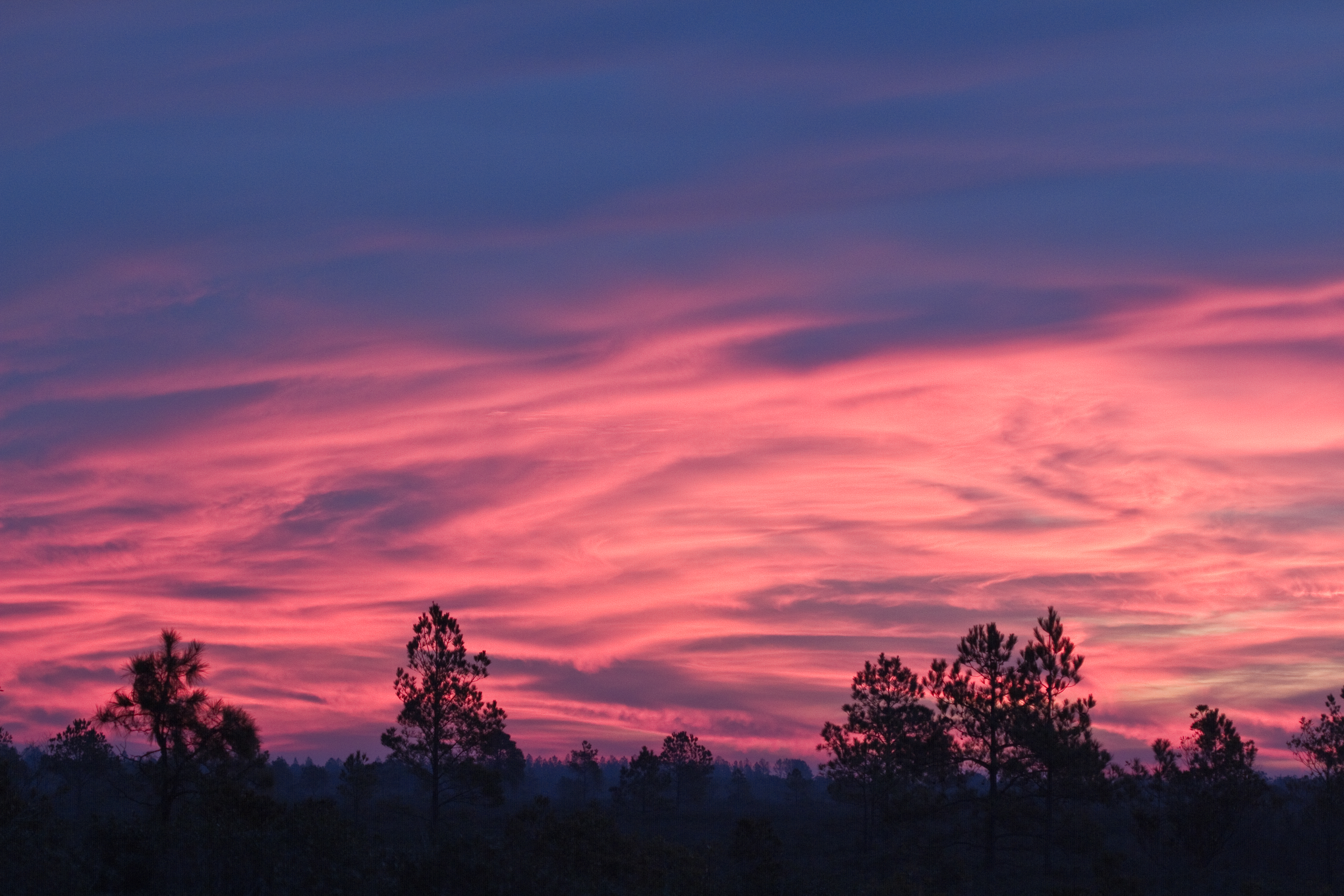
Sunrise At Pungo Lake
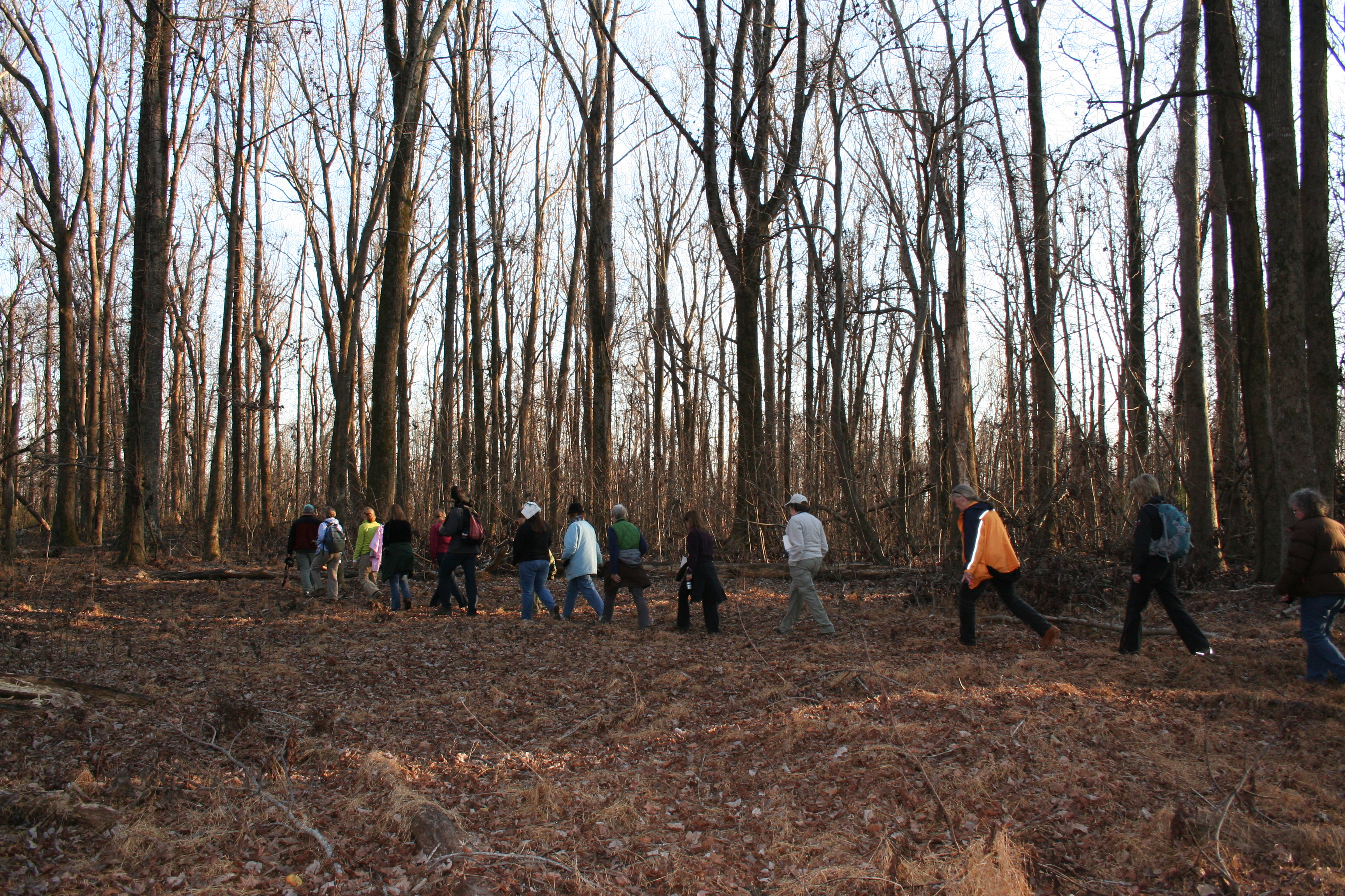
Walking Through the Bear Woods
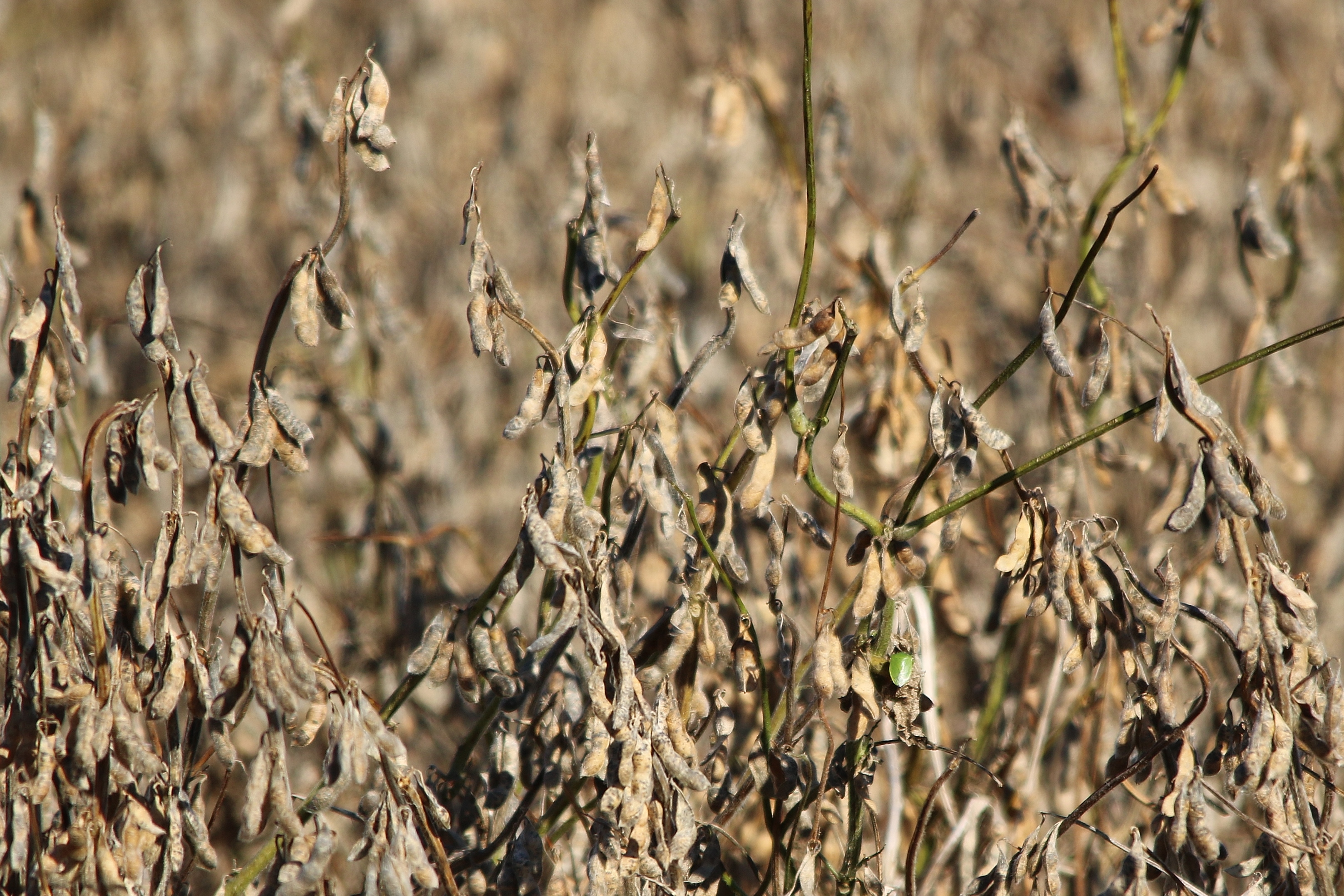
Soy beans ready for harvest
Topographic Map of Riverside Campground Road, Riverside Campground Rd, Currituck, NC, USA
Find elevation by address:

Places near Riverside Campground Road, Riverside Campground Rd, Currituck, NC, USA:
8668 Nc-45
Nc 45 Hwy N, Belhaven, NC, USA
Jordan Lane
Jordan Ln, Belhaven, NC, USA
6320 Nc-45
Nc 45 Hwy N, Belhaven, NC, USA
181 Russell Rd
US-, Belhaven, NC, USA
110 Spinnaker Run Rd
301 Higginsport Rd
946 Hyde Park Canal Rd
875 New Lake Rd
295 Campbell Ln
Currituck
East Pungo Street
377 E Pungo St
377 E Pungo St
406 E Main St
406 E Main St
East Water Street
Recent Searches:
- Elevation of Shibuya Scramble Crossing, 21 Udagawacho, Shibuya City, Tokyo -, Japan
- Elevation of Jadagoniai, Kaunas District Municipality, Lithuania
- Elevation of Pagonija rock, Kranto 7-oji g. 8"N, Kaunas, Lithuania
- Elevation of Co Rd 87, Jamestown, CO, USA
- Elevation of Tenjo, Cundinamarca, Colombia
- Elevation of Côte-des-Neiges, Montreal, QC H4A 3J6, Canada
- Elevation of Bobcat Dr, Helena, MT, USA
- Elevation of Zu den Ihlowbergen, Althüttendorf, Germany
- Elevation of Badaber, Peshawar, Khyber Pakhtunkhwa, Pakistan
- Elevation of SE Heron Loop, Lincoln City, OR, USA