Elevation of River Song Ln, Priest River, ID, USA
Location: United States > Idaho > Bonner County > Priest River >
Longitude: -116.90444
Latitude: 48.2049077
Elevation: 693m / 2274feet
Barometric Pressure: 93KPa
Elevation Map:
Satellite Map:
Related Photos:
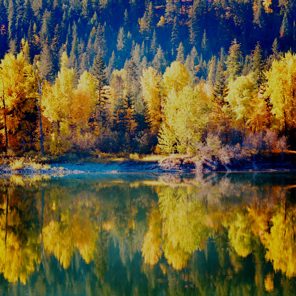
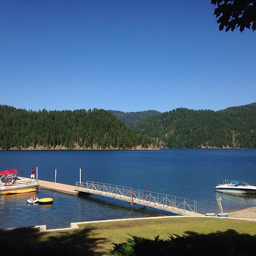
The View from Here
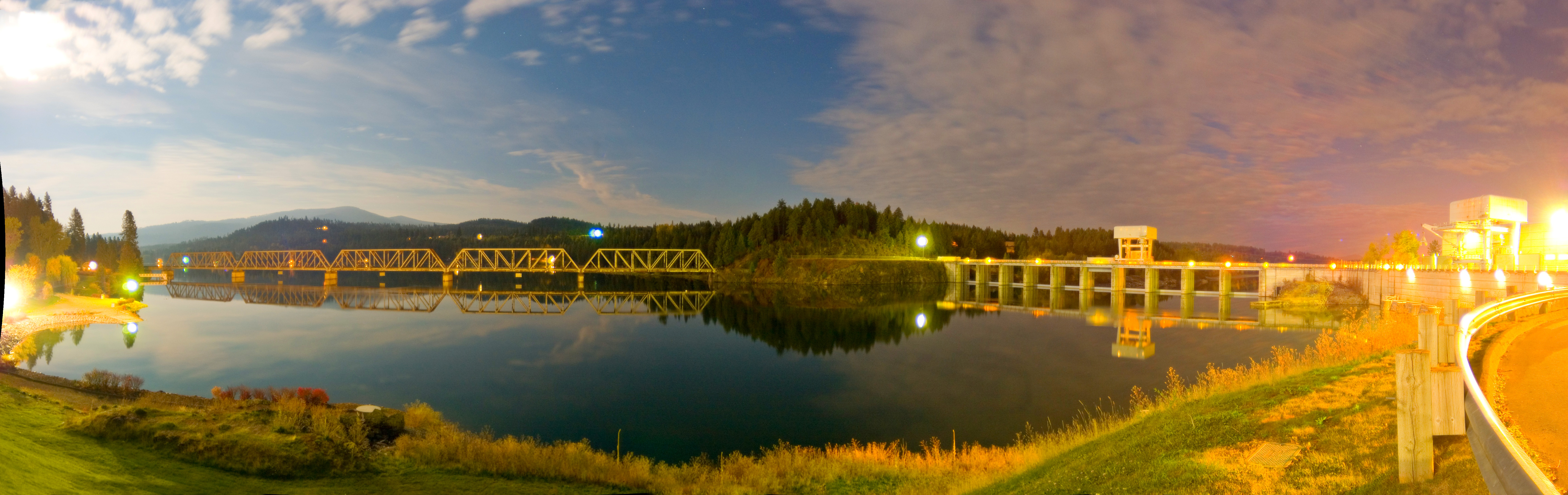
Albeni dam pano
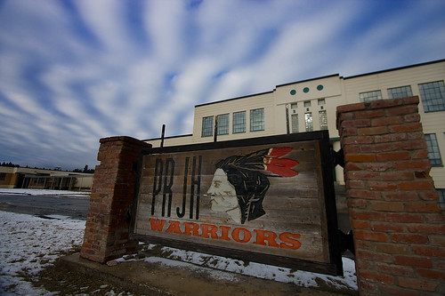
Priest River Idaho
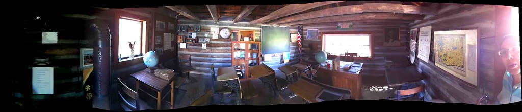
Panorama inside a one room schoolhouse

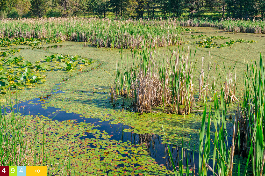
Peak-a-boo view of Kaniksu Marsh from trail

Beginning of River View Loop Trail
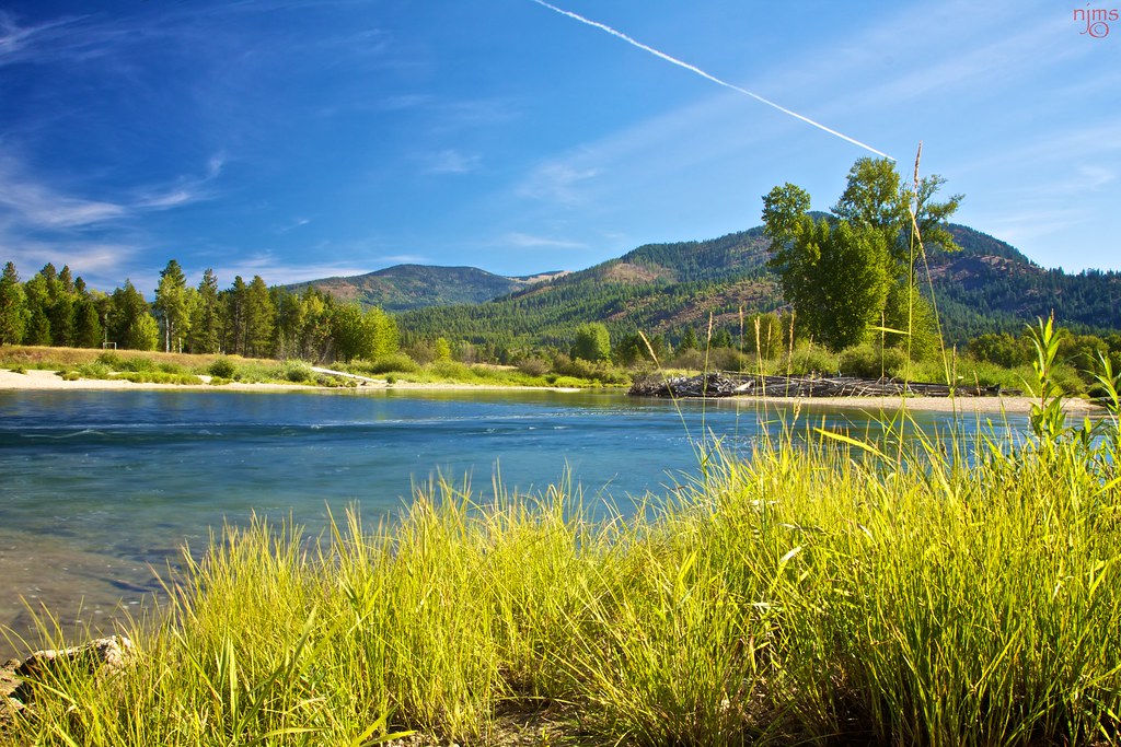
sunset on Priest River
Priest River Airport, Idaho
Merritt Bridge
2016 - Road Trip - Albeni Falls Idaho - 2 of 3
gorgeous birthday weekend off the grid at bead lake
Upper Priest River
Stillness Around Time

Hoodoo Creek
Topographic Map of River Song Ln, Priest River, ID, USA
Find elevation by address:

Places near River Song Ln, Priest River, ID, USA:
600 4th St
13 Troudt Ct
Priest River
Albeni Rd, Priest River, ID, USA
Shaw Road
598 Bear Rd
2900 Us-2
615 Freeman Lake Rd
340 Everett Huff Rd
147 Shepard Rd
2710 Hoodoo Mountain Rd
2710 Hoodoo Mountain Rd
2270 Hoodoo Mountain Rd
2270 Hoodoo Mountain Rd
Hoo Doo Loop
187 Dry Creek Rd
2270 Hoodoo Mountain Rd
912 Dry Creek Rd
E 3rd St S, Oldtown, ID, USA
Oldtown
Recent Searches:
- Elevation of Elwyn Dr, Roanoke Rapids, NC, USA
- Elevation of Congressional Dr, Stevensville, MD, USA
- Elevation of Bellview Rd, McLean, VA, USA
- Elevation of Stage Island Rd, Chatham, MA, USA
- Elevation of Shibuya Scramble Crossing, 21 Udagawacho, Shibuya City, Tokyo -, Japan
- Elevation of Jadagoniai, Kaunas District Municipality, Lithuania
- Elevation of Pagonija rock, Kranto 7-oji g. 8"N, Kaunas, Lithuania
- Elevation of Co Rd 87, Jamestown, CO, USA
- Elevation of Tenjo, Cundinamarca, Colombia
- Elevation of Côte-des-Neiges, Montreal, QC H4A 3J6, Canada