Elevation of River Rd, Henrico, NC, USA
Location: United States > North Carolina > Northampton County > Gaston > Henrico >
Longitude: -77.83102
Latitude: 36.534365
Elevation: 84m / 276feet
Barometric Pressure: 0KPa
Related Photos:
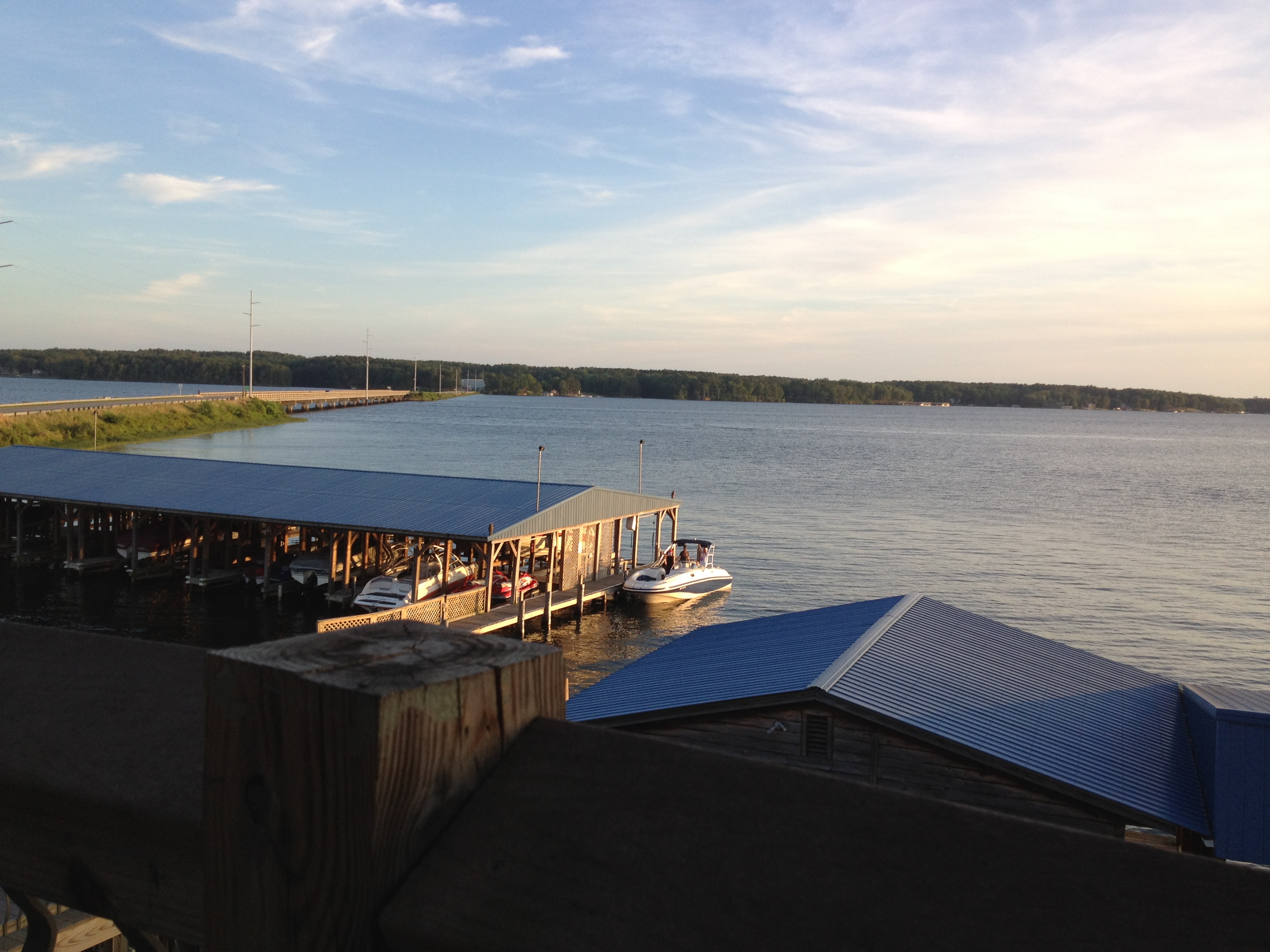
view from the resturant on the lake
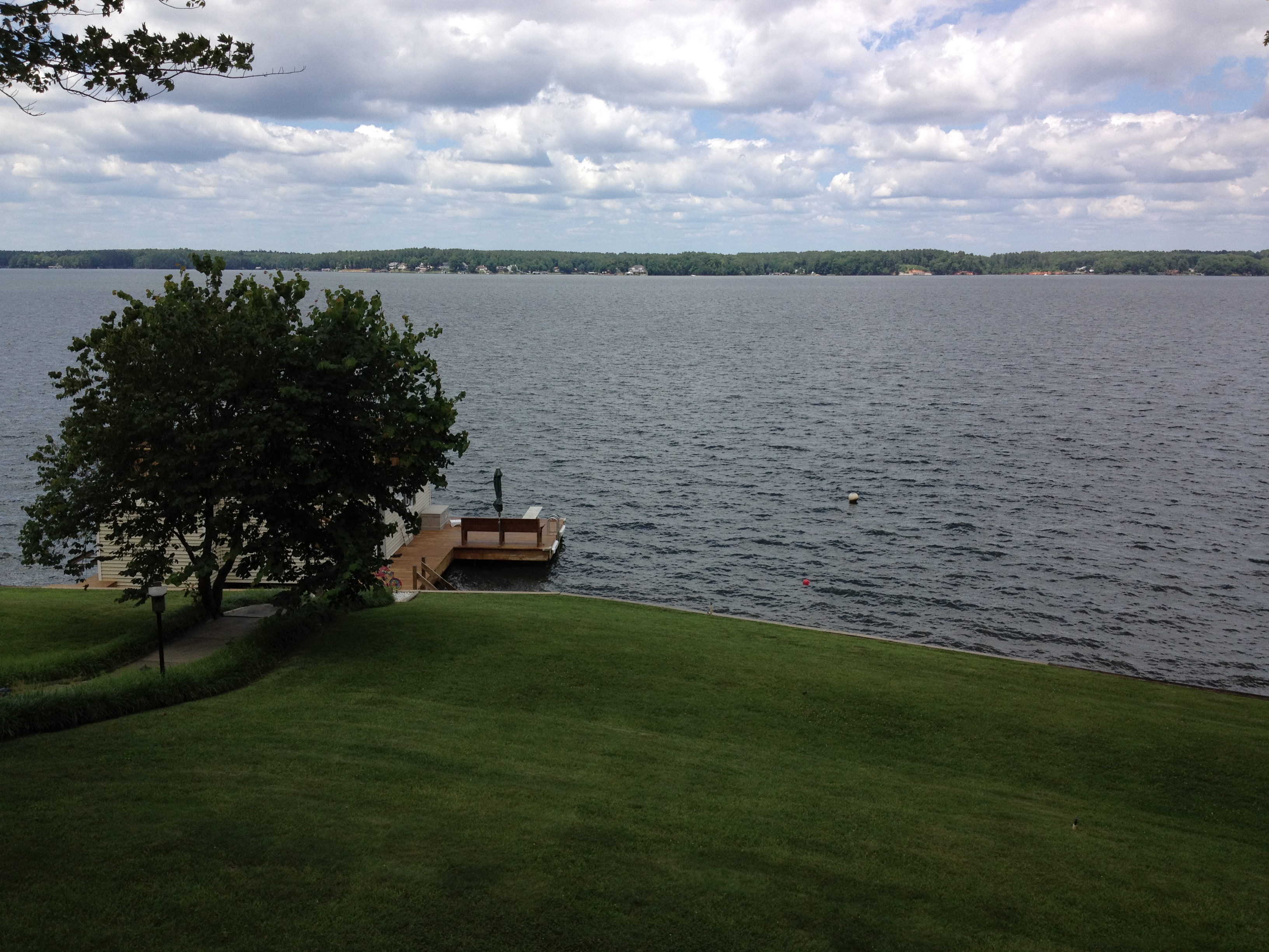
view from the deck

Monkeying Around
Side view

The view of the cove from the last stepping stone leading down to the water

View from the deck. Kids are already down there at the dock ready to go
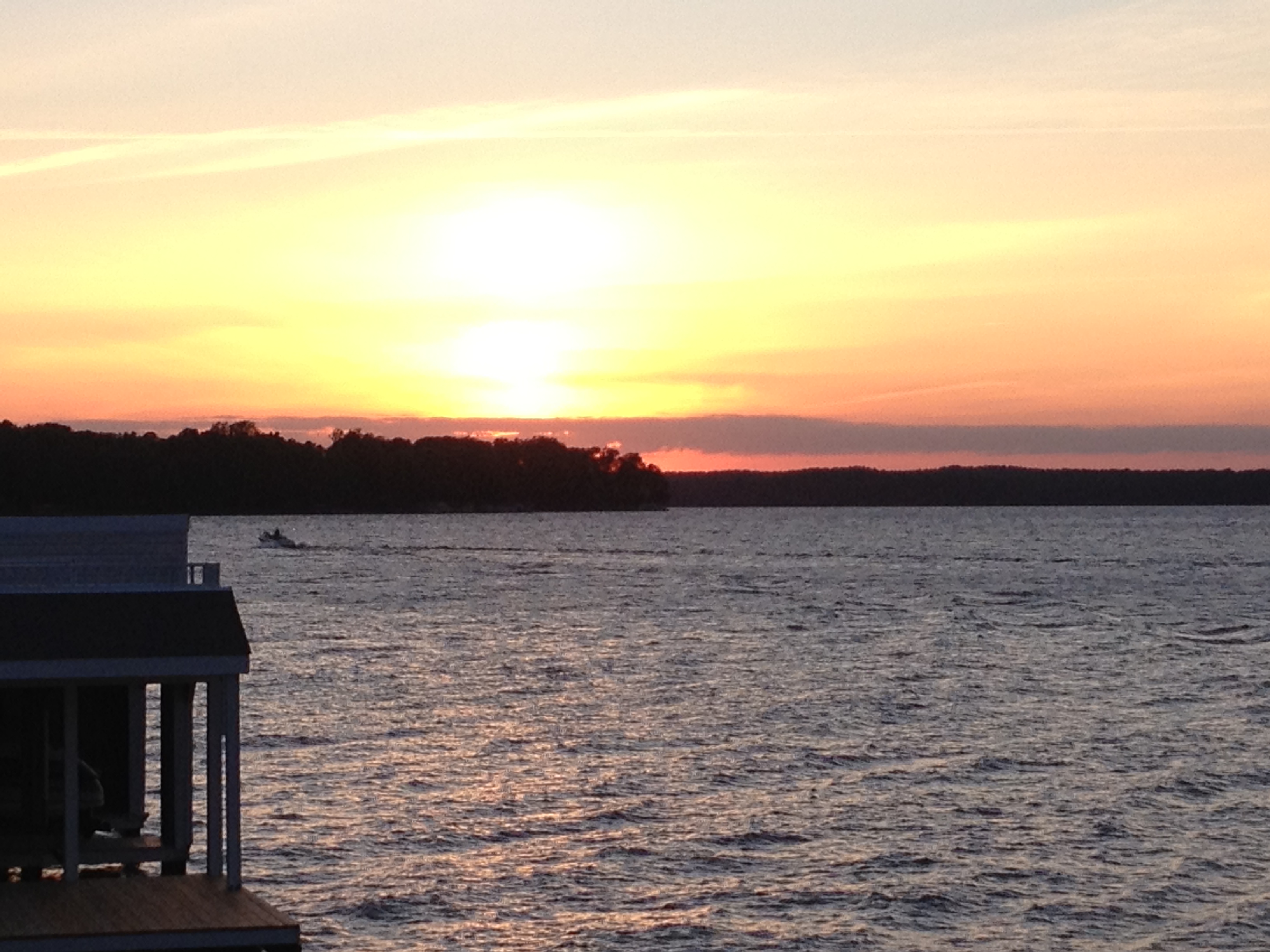
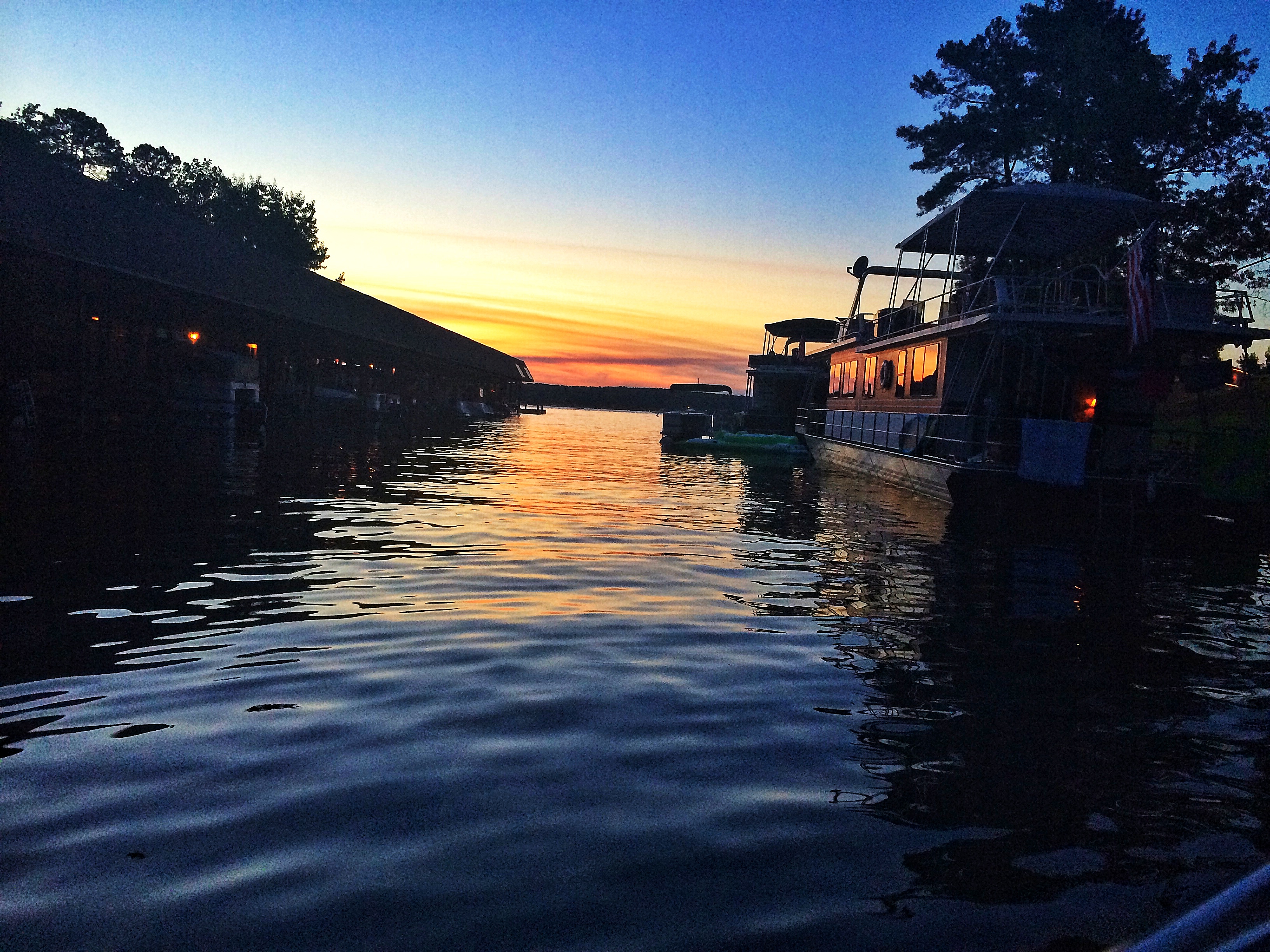
sunset from the deck

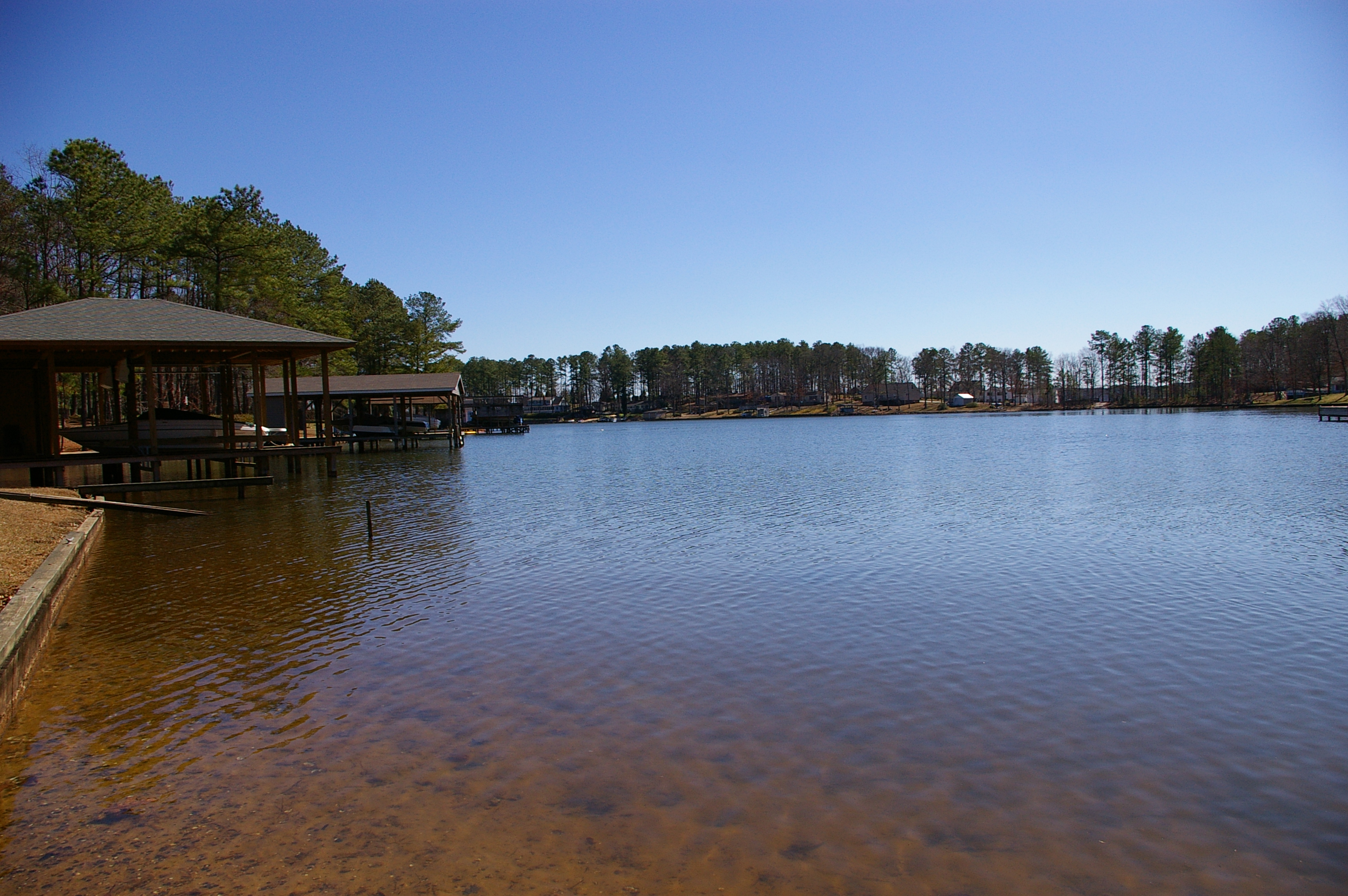
Lake Gaston
Baird Farm
Baird Farm

Serenity #camp #lake #nc #igersnc

Gentle Dawn
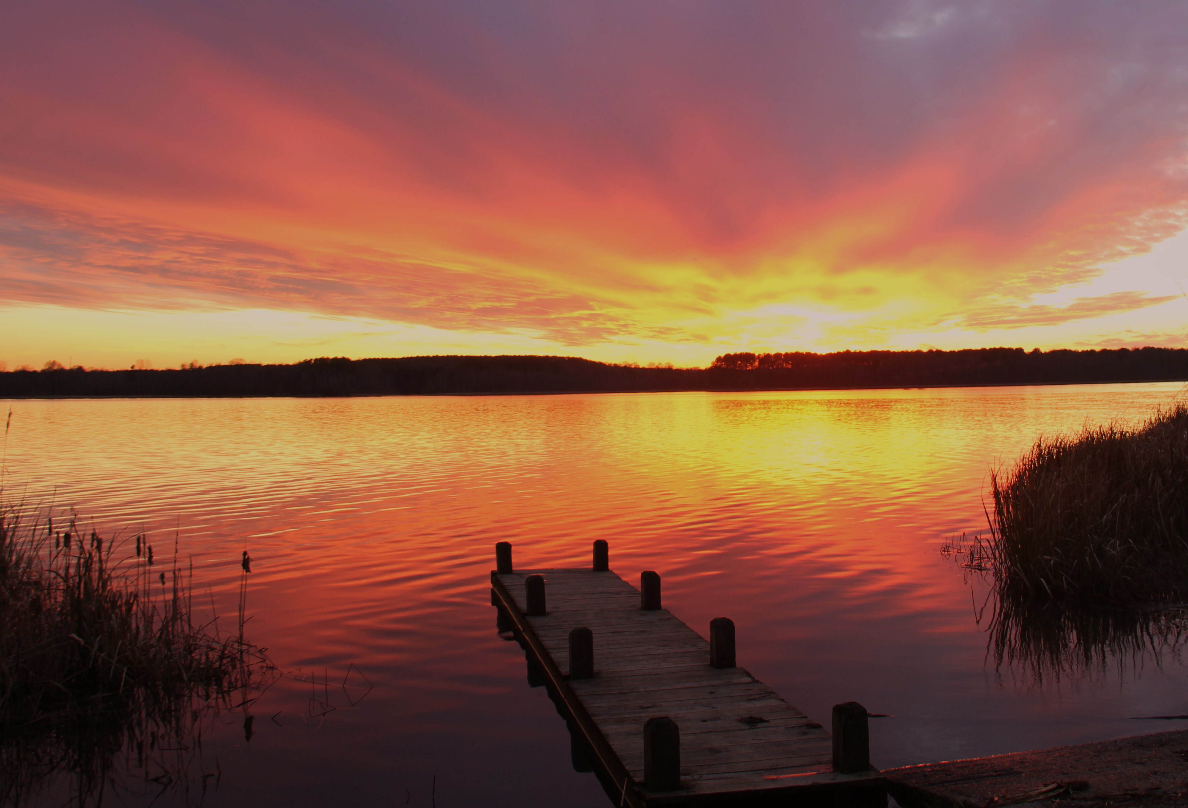
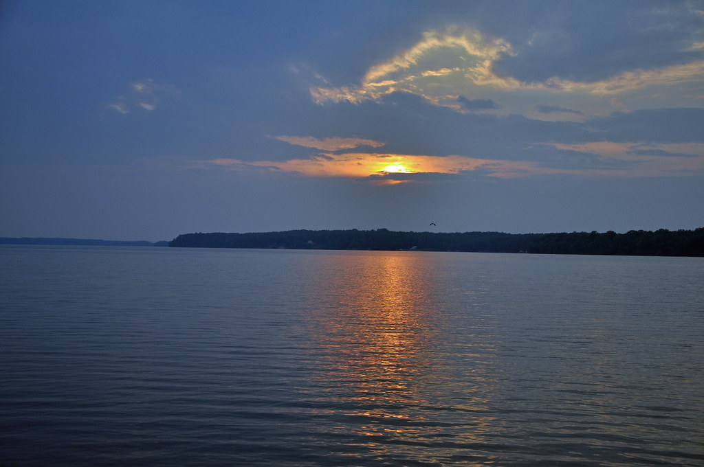
gaston sunset
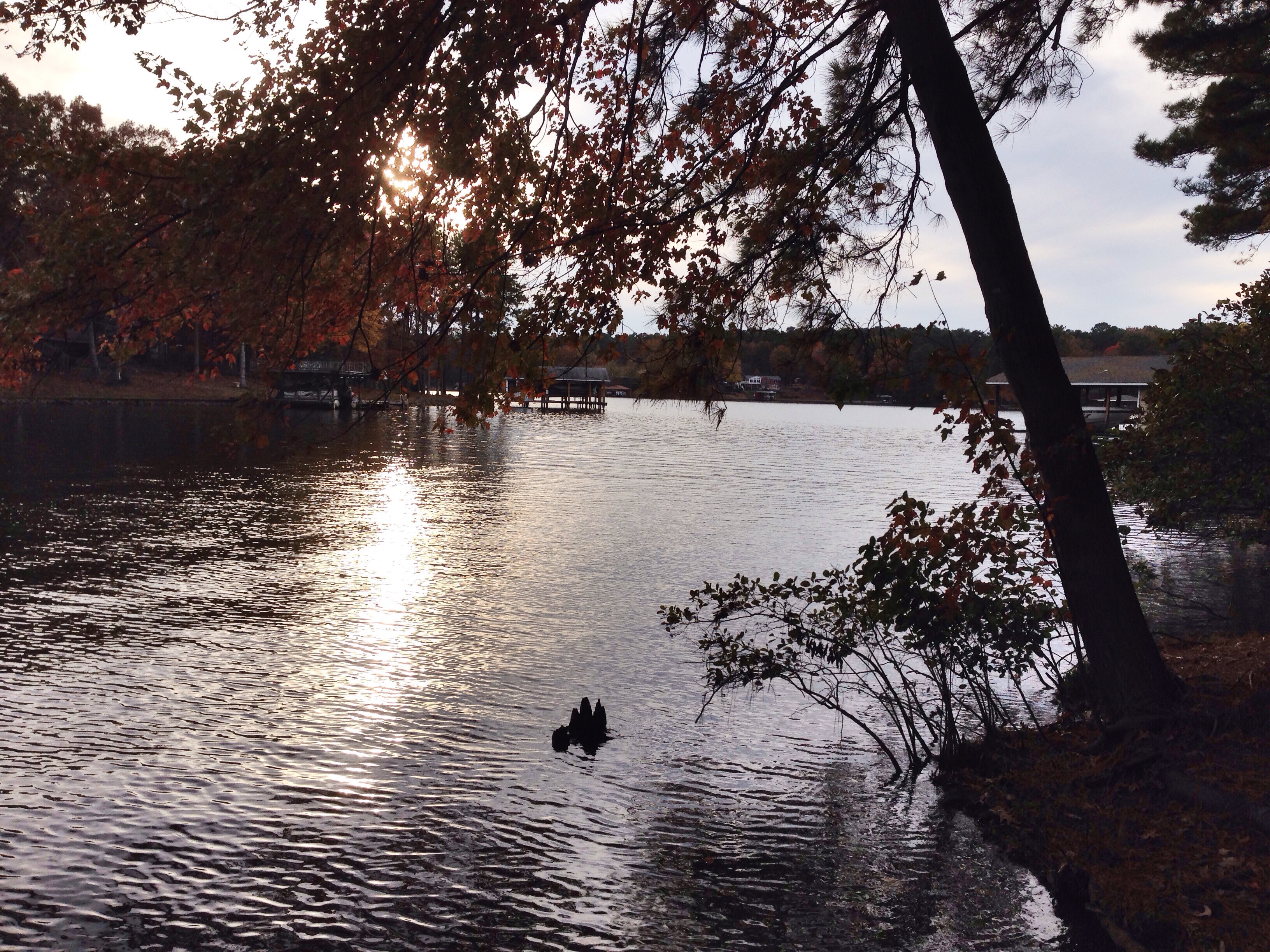
Lake Gaston
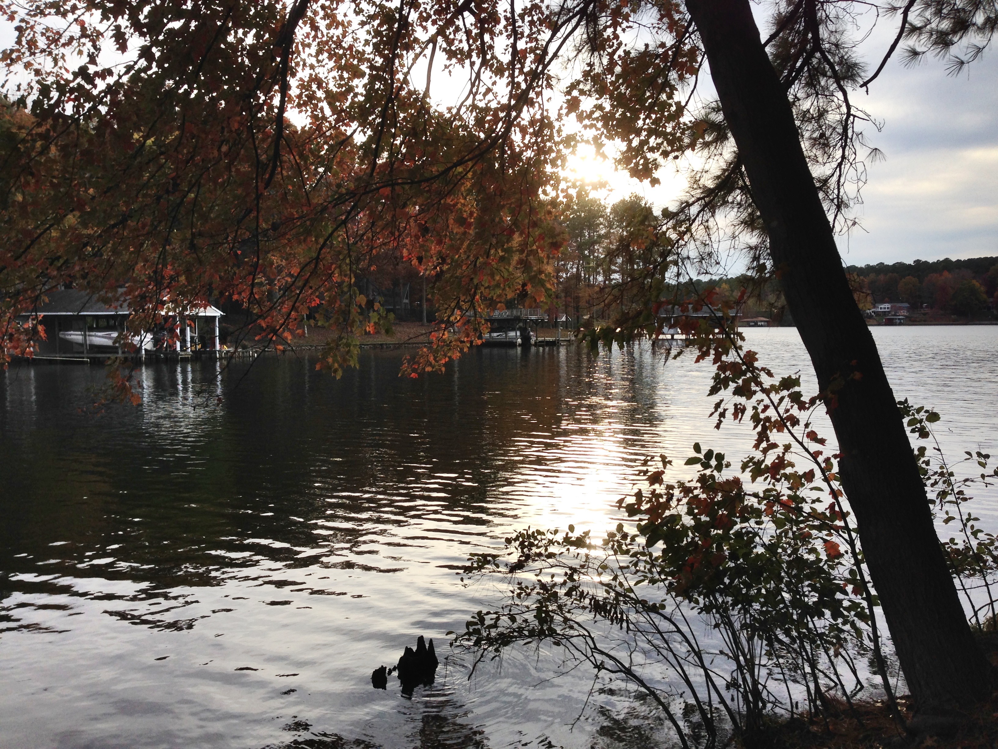
The cove
Lake Gaston 2

photo.JPG
Lake Gaston- pea hill creek

Lake Gaston July 5th
Lake Gaston July 5th
Roanoke Rapids Lake 7792

Lake Gaston dusk

2/365-Sunset at Lake Gaston
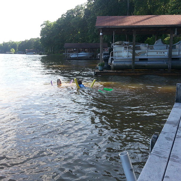
Logan and Jen in the water
Topographic Map of River Rd, Henrico, NC, USA
Find elevation by address:

Places near River Rd, Henrico, NC, USA:
Henrico
4659 Thelma Rd
Littleton
72 Point Cir
Gaston
118 Huntington Ct
293 Forest Hill Dr
Littleton
Littleton, NC, USA
Roanoke Rapids
Bowers Rd, Littleton, NC, USA
Zoo Rd N, Roanoke Rapids, NC, USA
215 Lakeview Dr
253 Woodland Rd
1 Pastoral Park Dr, Roanoke Rapids, NC, USA
Butterwood
535 Vance St
512 Franklin St
Gaston
Garysburg Rd, Gaston, NC, USA
Recent Searches:
- Elevation of North 8th Street, Palatka, Putnam County, Florida, 32177, USA
- Elevation of 107, Big Apple Road, East Palatka, Putnam County, Florida, 32131, USA
- Elevation of Jiezi, Chongzhou City, Sichuan, China
- Elevation of Chongzhou City, Sichuan, China
- Elevation of Huaiyuan, Chongzhou City, Sichuan, China
- Elevation of Qingxia, Chengdu, Sichuan, China
- Elevation of Corso Fratelli Cairoli, 35, Macerata MC, Italy
- Elevation of Tallevast Rd, Sarasota, FL, USA
- Elevation of 4th St E, Sonoma, CA, USA
- Elevation of Black Hollow Rd, Pennsdale, PA, USA
- Elevation of Oakland Ave, Williamsport, PA, USA
- Elevation of Pedrógão Grande, Portugal
- Elevation of Klee Dr, Martinsburg, WV, USA
- Elevation of Via Roma, Pieranica CR, Italy
- Elevation of Tavkvetili Mountain, Georgia
- Elevation of Hartfords Bluff Cir, Mt Pleasant, SC, USA
- Elevation of SW Barberry Dr, Beaverton, OR, USA
- Elevation of Old Ahsahka Grade, Ahsahka, ID, USA
- Elevation of State Hwy F, Pacific, MO, USA
- Elevation of Chemin de Bel air, Chem. de Bel air, Mougins, France