Elevation of River Pines PUD, Canyon Ave, River Pines, CA, USA
Location: United States > California > Amador County > River Pines >
Longitude: -120.74107
Latitude: 38.5447073
Elevation: 620m / 2034feet
Barometric Pressure: 94KPa
Elevation Map:
Satellite Map:
Related Photos:

The Harvest!

Amador County K-9 Car 3-4 view

River View

Blue-eyed Frog

Diamond Springs Hills

Miwok Ceremonial Roundhouse, 6 of 6

Indian Grinding Rock
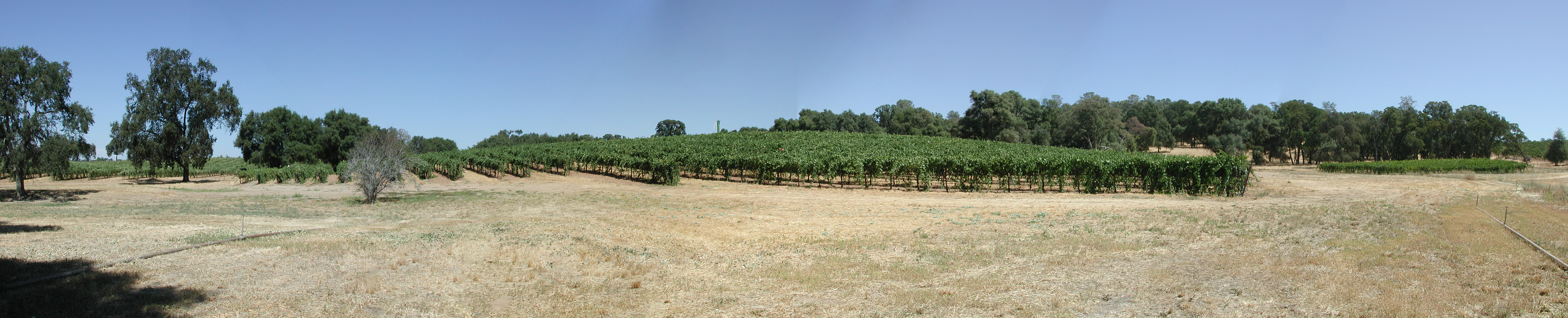
Montevina Winery Panorama
Black Chasm Cavern

Miwok Ceremonial Roundhouse, 4 of 6

Miwok Ceremonial Roundhouse, 5 of 6

Wide view of the America River bridge
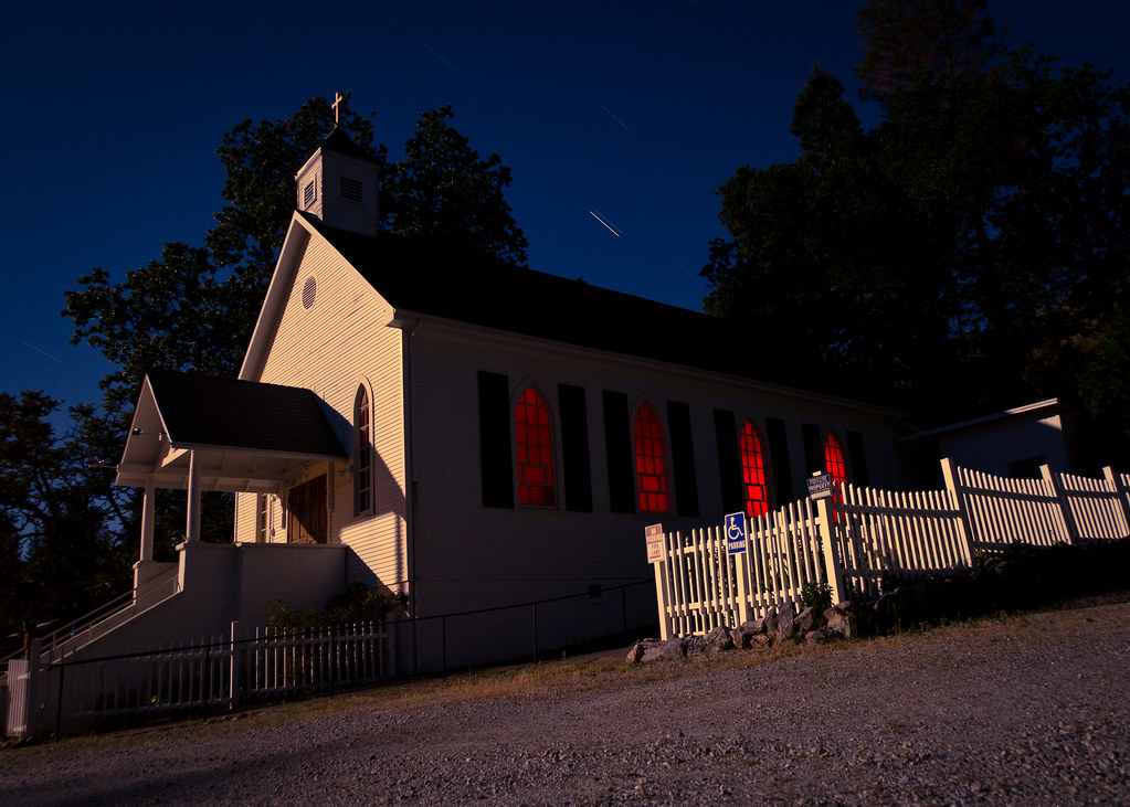
St. Bernard's Church

Miwok Ceremonial Roundhouse, 2 of 6
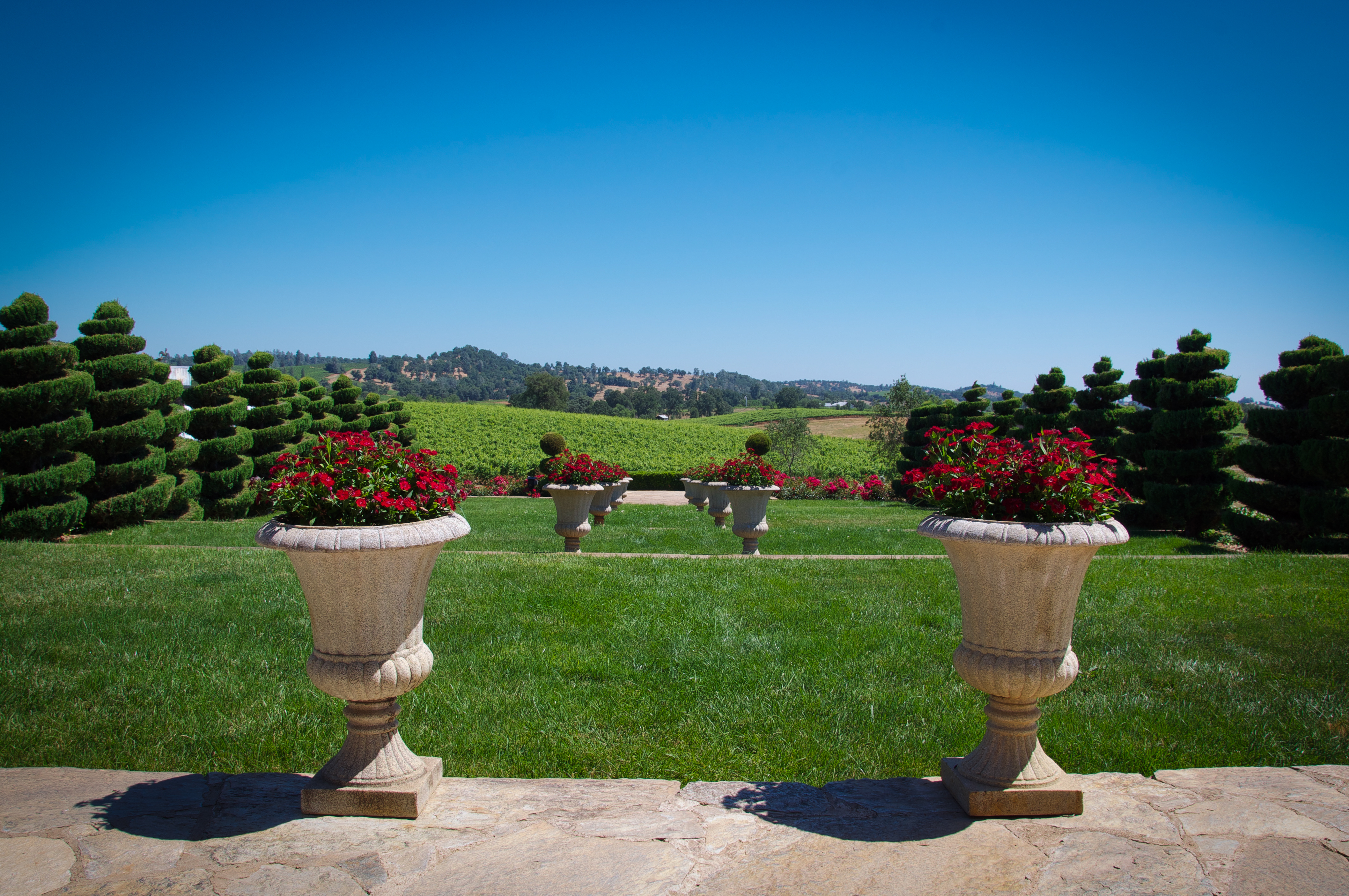
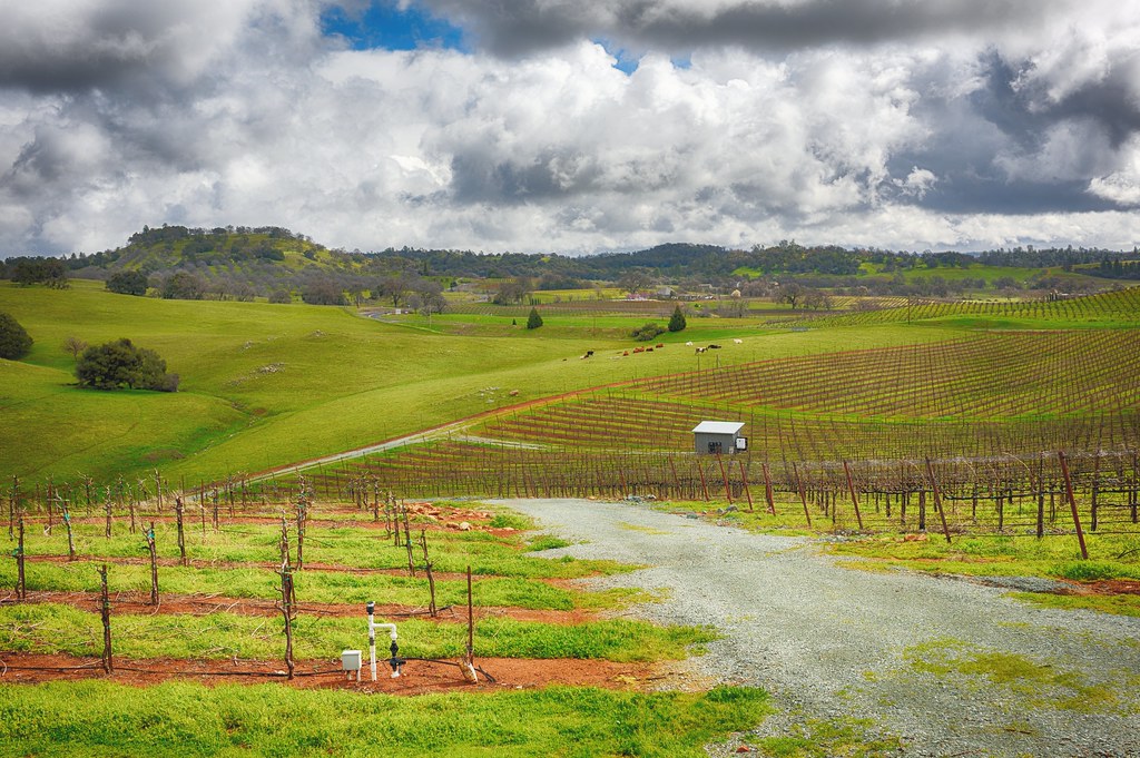
Karmére Vineyard

River bend

Red, white and blue 3
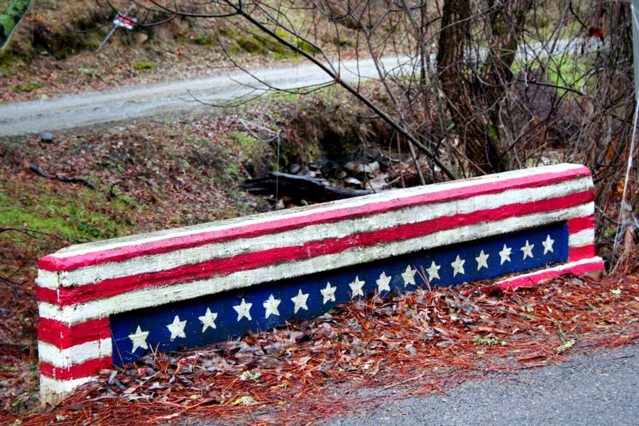
Red, white and blue 2

Holly's Hill Winery

Vineyard view

"The Truth is Out There"

A River Runs Through It

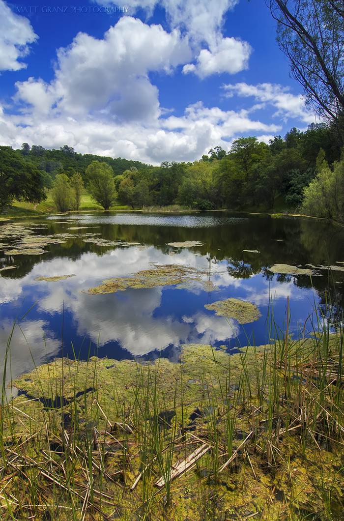
Calm Waters

Busby's Barn

Protected by the shadows

North Fork Flow

Camp Creek Bridge

Outside Amador City

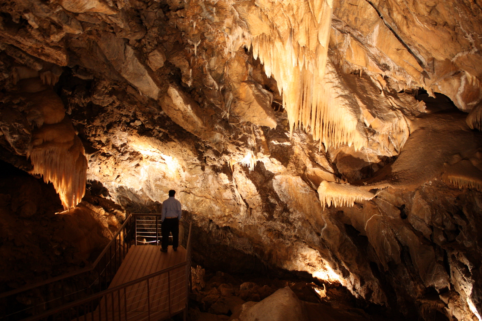
Black Chasm Cave Tour

Stalactites in Black Chasm Cavern, Volcano, California

Black Chasm Caverns

Black Chasm Cavern

Black Chasm Caverns

Shenendoah Valley

The Veins of an Oak at Sunset - Sutter Creek, CA
Shenendoah Valley
All the World's a Sunny Day

D'Agostini Reservoir

Hard To Choose
Topographic Map of River Pines PUD, Canyon Ave, River Pines, CA, USA
Find elevation by address:

Places near River Pines PUD, Canyon Ave, River Pines, CA, USA:
Circle Avenue
Rock Ln, Pioneer, CA, USA
River Pines
Mt Aukum, CA, USA
6900 Bertone Dr
Mount Aukum
6892 Flat Creek Rd
4746 D'agostini
Flat Creek Drive
3230 Bridgeport School Rd
13327 Oakstream Rd
6980 Loggers Hollow Rd
13200 Shenandoah Rd
Fiddletown Rd, Fiddletown, CA, USA
Fiddletown
Fiddletown Road & American Flat Road
4340 Hollis Ln
World's Largest Fiddle
2979 Mellowood Dr
Fiddletown Road & Vineyard Lane
Recent Searches:
- Elevation of Elwyn Dr, Roanoke Rapids, NC, USA
- Elevation of Congressional Dr, Stevensville, MD, USA
- Elevation of Bellview Rd, McLean, VA, USA
- Elevation of Stage Island Rd, Chatham, MA, USA
- Elevation of Shibuya Scramble Crossing, 21 Udagawacho, Shibuya City, Tokyo -, Japan
- Elevation of Jadagoniai, Kaunas District Municipality, Lithuania
- Elevation of Pagonija rock, Kranto 7-oji g. 8"N, Kaunas, Lithuania
- Elevation of Co Rd 87, Jamestown, CO, USA
- Elevation of Tenjo, Cundinamarca, Colombia
- Elevation of Côte-des-Neiges, Montreal, QC H4A 3J6, Canada