Elevation of River Birch Ln, Kamas, UT, USA
Location: United States > Utah > Summit County > Kamas >
Longitude: -111.22409
Latitude: 40.6229163
Elevation: -10000m / -32808feet
Barometric Pressure: 295KPa
Elevation Map:
Satellite Map:
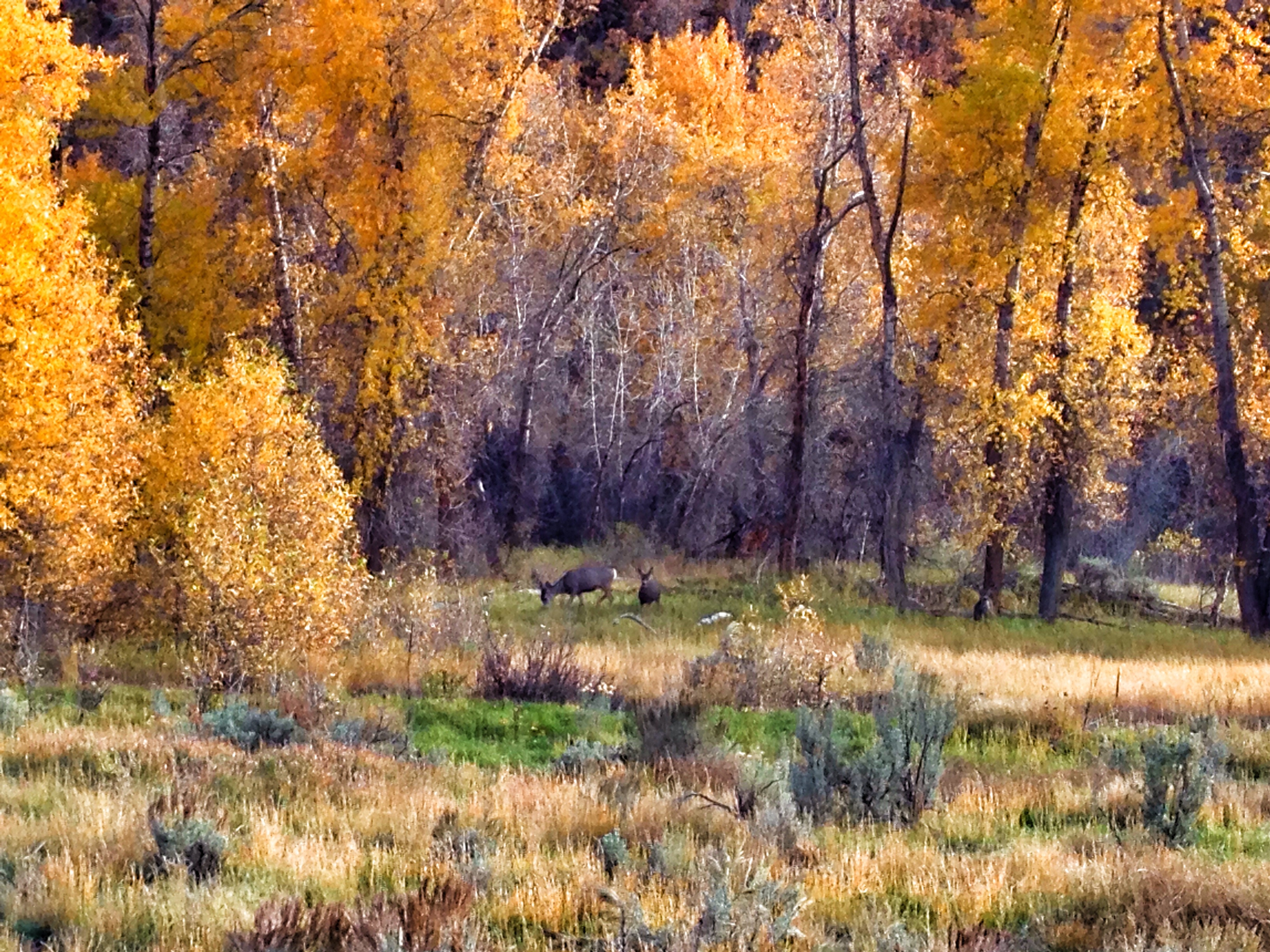
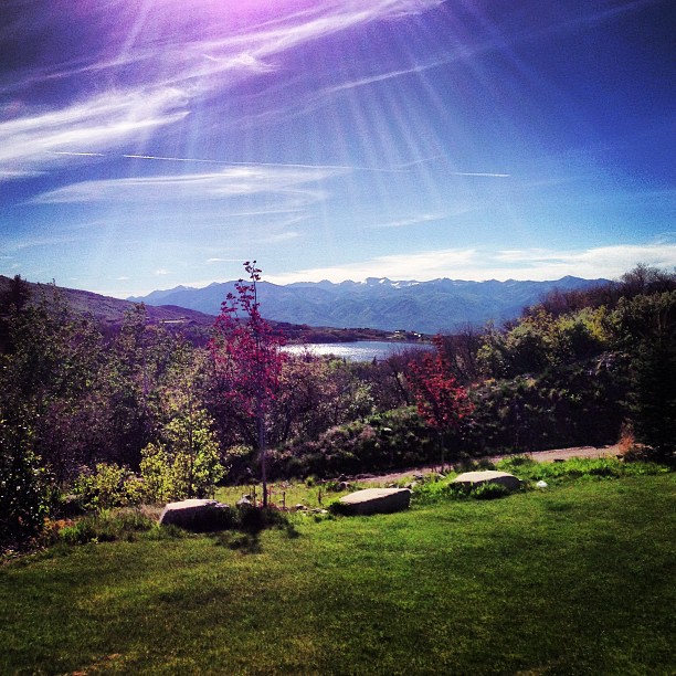
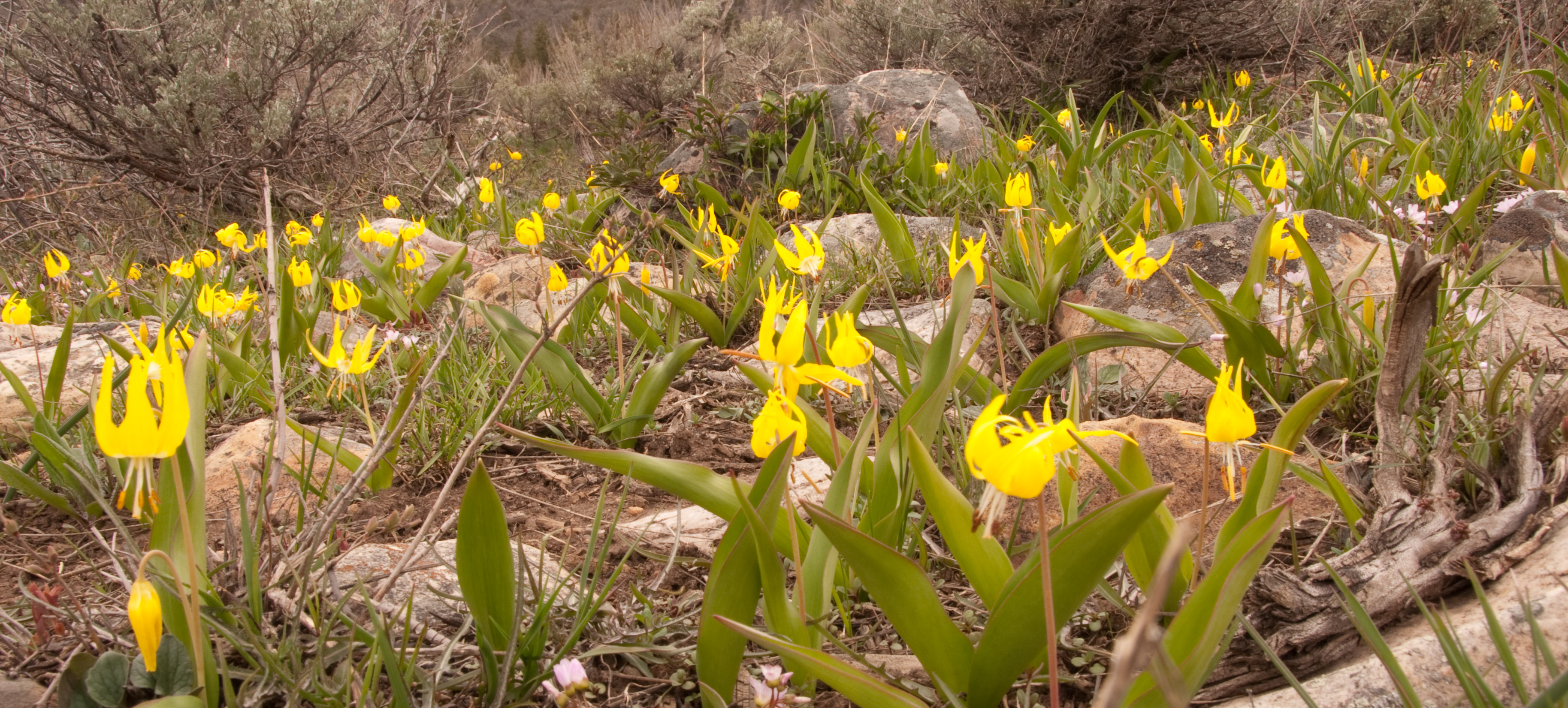
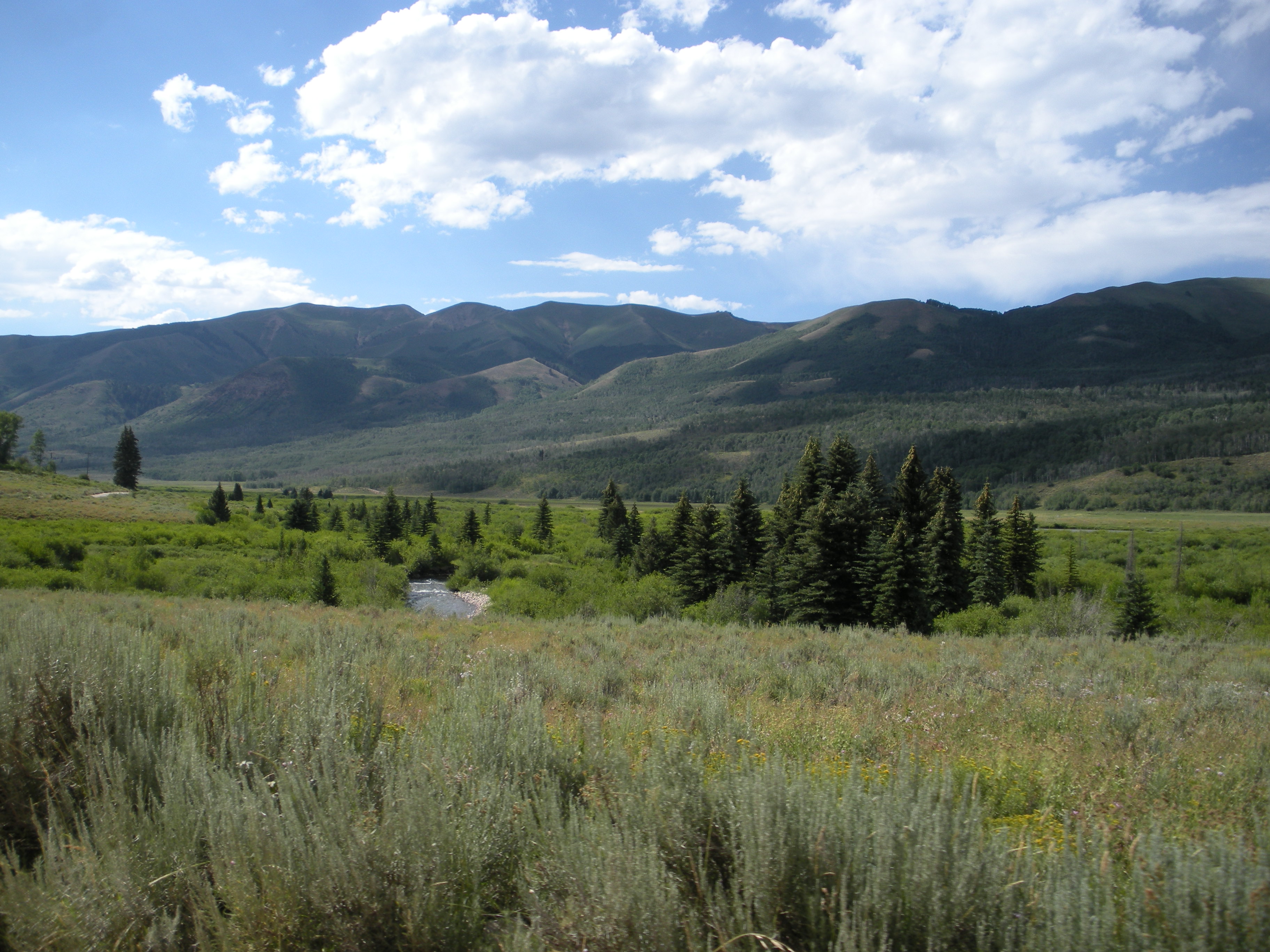
Related Photos:

View of Snow on Mt. Timpinogas from Marion.

Closed Sunday 102/365: Sacrifice

This Way 114/365: Door Knob

Morning view. #ragnartrail #ragnartrailwarrior #Ragnar #optoutside

Sun on Frost - 16/365 Reflection

Calf Roping at the Oakley Rodeo.

Kamas 163/365: Neon

Spy Games

Rusty Blackbird-2

Hmmm... 25/365 - Sky

Keeping the Garbage In? - 9/365 "Signage"

Morning Kiss 120/365: Grass

Sunset Clouds

The Unitah mountains

The Unitah mountains

The Unitah mountains
The Unitah mountains
Aspen Lakes with Timp in the background

The Unitah mountains
Yellow and Green

utah mountains
Picture 058

Picture 077

Camping the uintah's!

Picture 057

Stormy Morning

Frozen Lake Jordanelle

Jordanelle in April

Picture 043

20121206-IMG_1269_70_71_fused
Look at the Sky

Hwy 35, just outside Kamas, Utah. The red patches on the hills are not a photo editing effect; they are the changing leaves of oaks.
Topographic Map of River Birch Ln, Kamas, UT, USA
Find elevation by address:

Places near River Birch Ln, Kamas, UT, USA:
Samak
Beaver Creek Rd, Kamas, UT, USA
1926 Foothill Dr
South Summit High School
180 N 200 E
Francis
15 W S, Kamas, UT, USA
Kamas
Oakley
3252 Broken Spear Trail
4403 E Weber Canyon Rd
2345 Slingshot Way
Wooden Shoe Ln, Peoa, UT, USA
Peoa
6500 Ut-32
10741 Reflection Ln
Jordanelle State Park
12485 Ross Creek Dr
Vista Drive
878 W Carving Edge Ct
Recent Searches:
- Elevation of F36W+3M, Mussoorie, Uttarakhand, India
- Elevation of Fairland Ave, Fairhope, AL, USA
- Elevation of Sunset Dr, Richmond, VA, USA
- Elevation of Grodna District, Hrodna Region, Belarus
- Elevation of Hrodna, Hrodna Region, Belarus
- Elevation of Sandia Derby Estates, Tijeras, NM, USA
- Elevation of 23 Sunrise View Ct, Tijeras, NM, USA
- Elevation of Lytham Ln, Katy, TX, USA
- Elevation of Tater Hill, Oklahoma, USA
- Elevation of NY-, Friendship, NY, USA