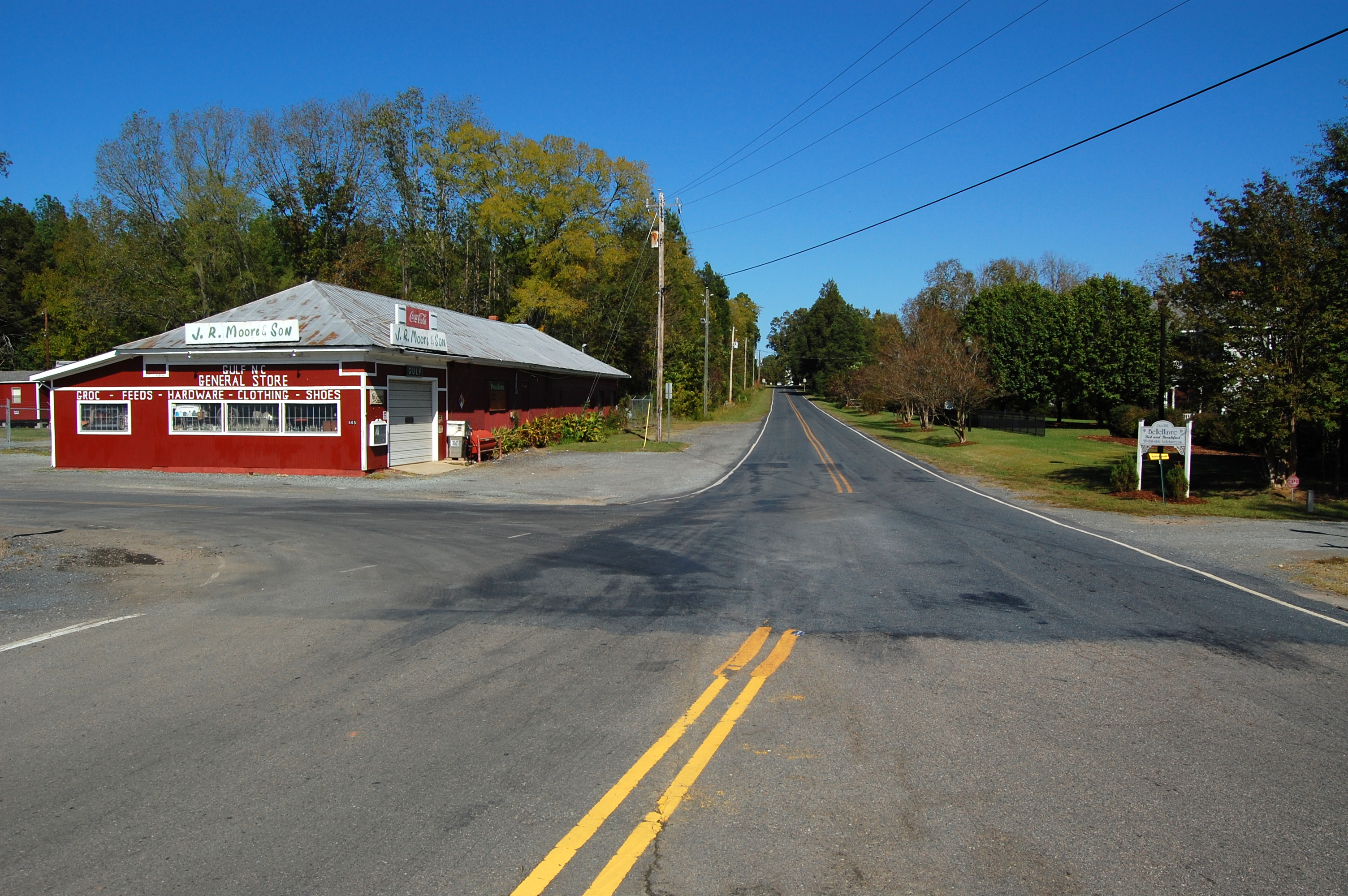
Elevation of River Bend Rd, Siler City, NC, USA
Location: United States > North Carolina > Chatham County > Matthews > Siler City >
Longitude: -79.313151
Latitude: 35.684319
Elevation: 122m / 400feet
Barometric Pressure: 100KPa
Elevation Map:
Satellite Map:
Related Photos:
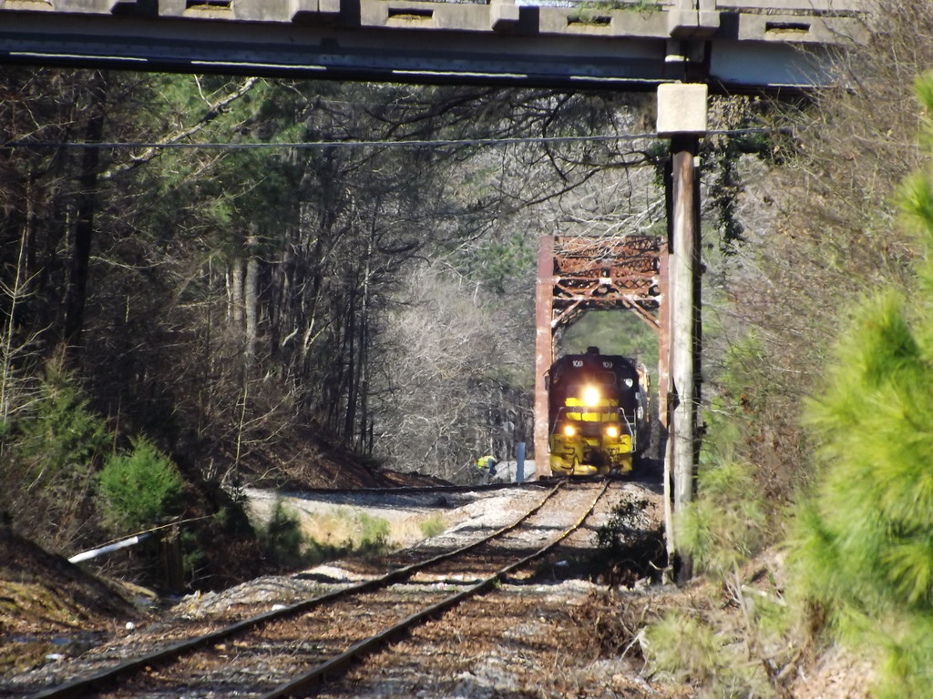
Unseen railroading

St. Bartholomew's Episcopal Church - Pittsboro
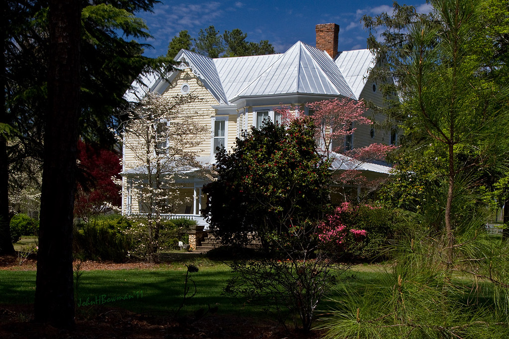
Beautiful Farmhouse

195. Late night work desk view.
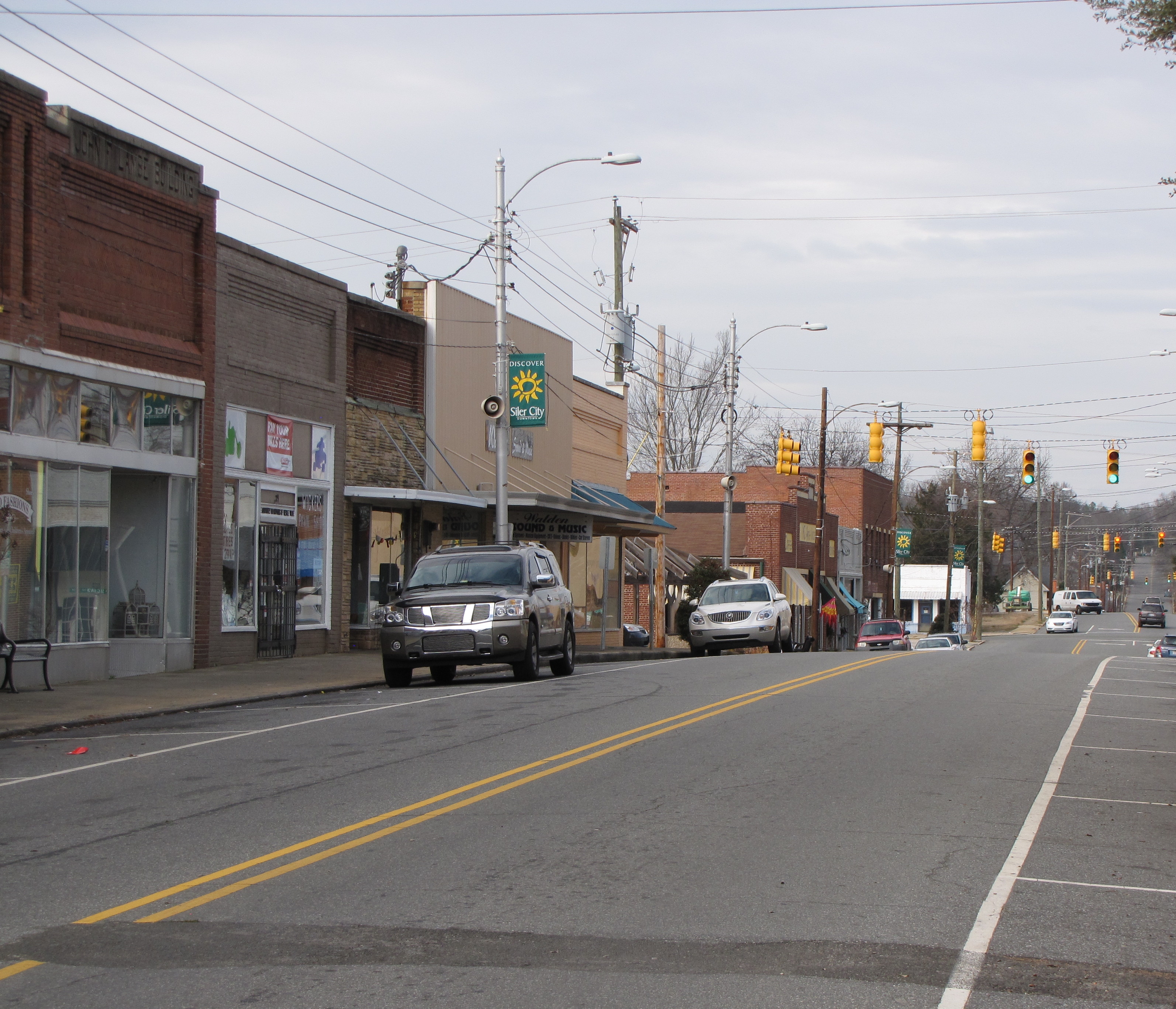
North Chatham Ave

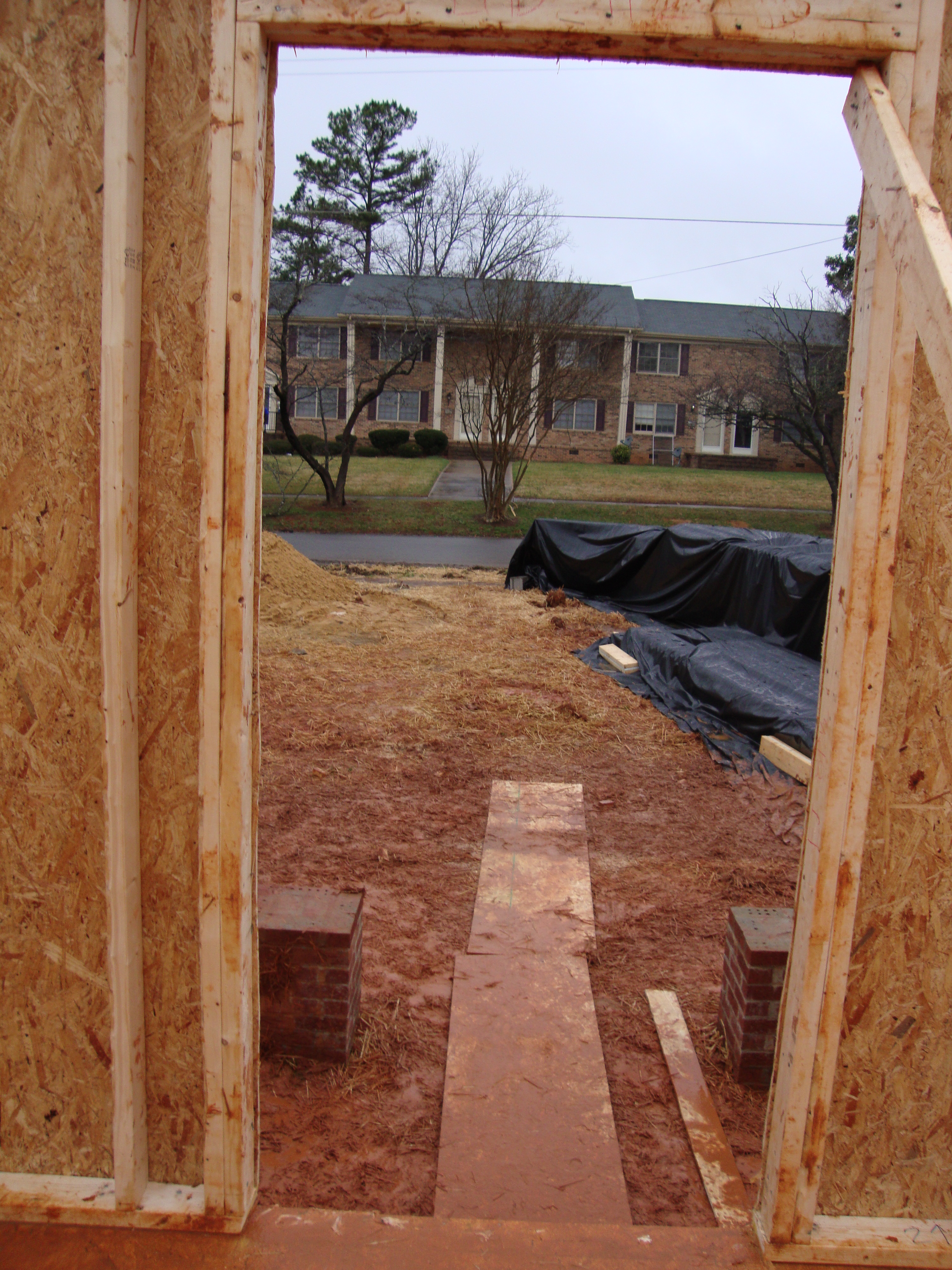
View from foundation of home.
A room with a view
View down Fayetteville Rd.

Dragonfly Stare Down

Ice Cream Break
Topographic Map of River Bend Rd, Siler City, NC, USA
Find elevation by address:

Places near River Bend Rd, Siler City, NC, USA:
1210 Manco Dairy Rd
Hadley
774 Chapel Ridge Dr
968 Golfers View
598 Sanford Rd
Center
Chatham County
Pittsboro
40 Lynn Stone Ct
191 Bellemont Rd
241 Bellemont Rd
Pittsboro, NC, USA
1364 Mt Olive Church Rd
495 Bill Thomas Rd
192 Sheep Rock Rd
2716 Moon Lindley Rd
3580 Us Hwy 15 501 N
3580 Us Hwy 15 501 N
Sheep Rock Road
Chicken Bridge
Recent Searches:
- Elevation of Blattner Rd, Philo, CA, USA
- Elevation of Polzela, Slovenia
- Elevation of Gorod Kislovodsk, Stavropol Krai, Russia
- Elevation of Kislovodsk, Stavropol Krai, Russia
- Elevation of Eagle Stone Drive, Eagle Stone Dr, The Preserve at Corkscrew, FL, USA
- Elevation of Formby Ct, Myrtle Beach, SC, USA
- Elevation of Hobbyhorse Ct, Dover, DE, USA
- Elevation of Horseshoe Ln, Dahlonega, GA, USA
- Elevation of Village Point Dr, Daphne, AL, USA
- Elevation map of Kabardino-Balkarian Republic, Russia