Elevation of Rishiri Island, Rishiri District, Hokkaido Prefecture, Japan
Location: Japan > Hokkaido Prefecture > Rishiri District > Rishirifuji > Oshidomari > Wannai Oshidomari > >
Longitude: 141.222042
Latitude: 45.2004238
Elevation: 753m / 2470feet
Barometric Pressure: 93KPa
Elevation Map:
Satellite Map:
Related Photos:
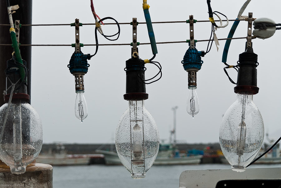
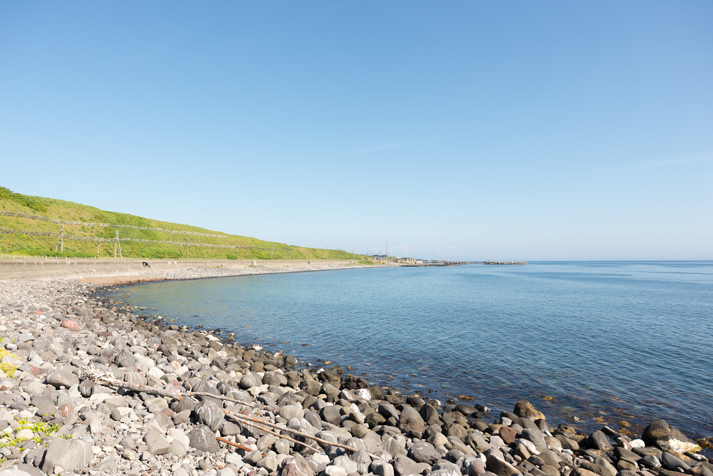
Fishing lights under the rain
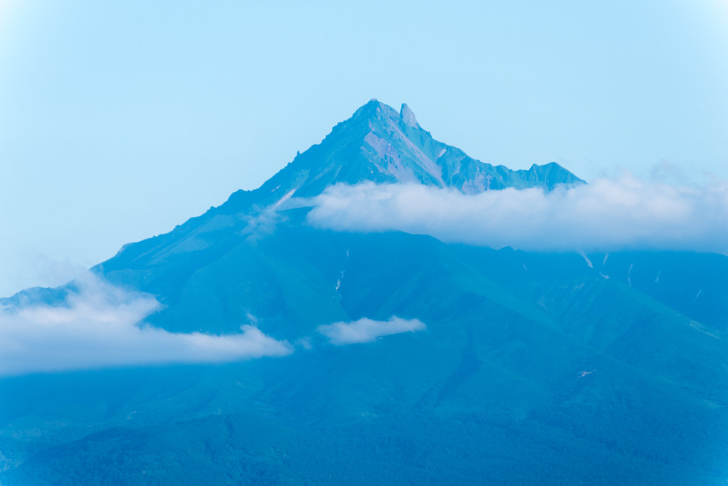
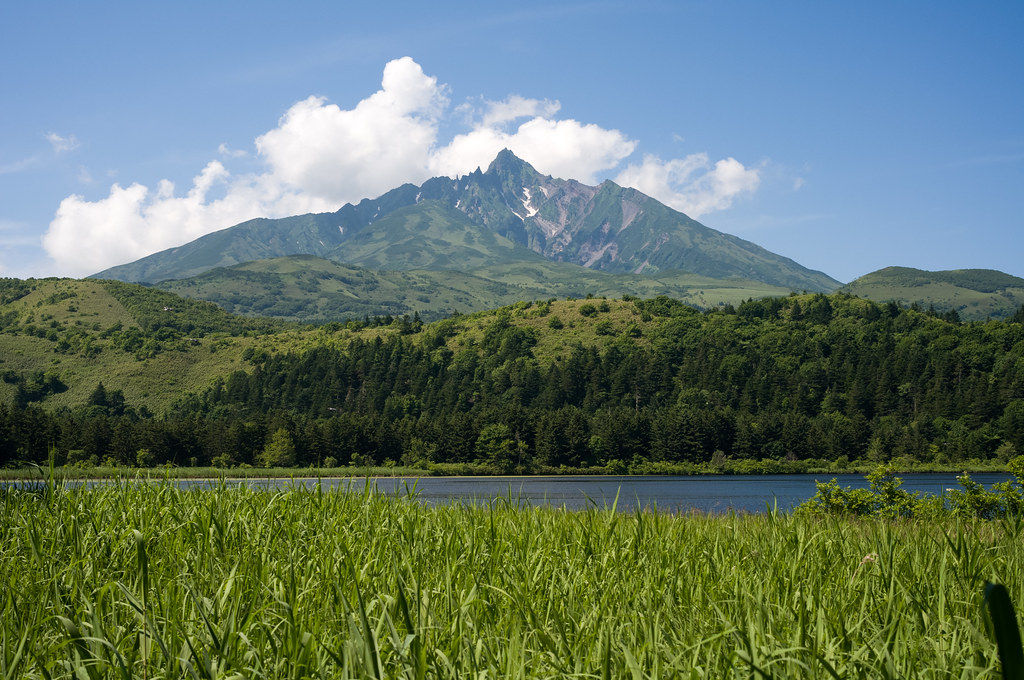
利尻富士
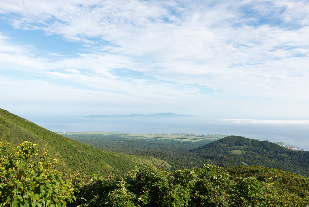
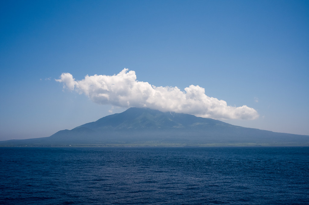
利尻山から見た礼文島
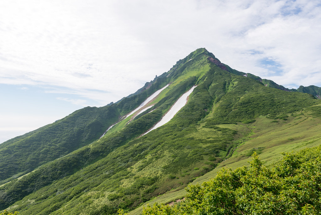
利尻山 登山道 8合目 長官山からみた利尻山
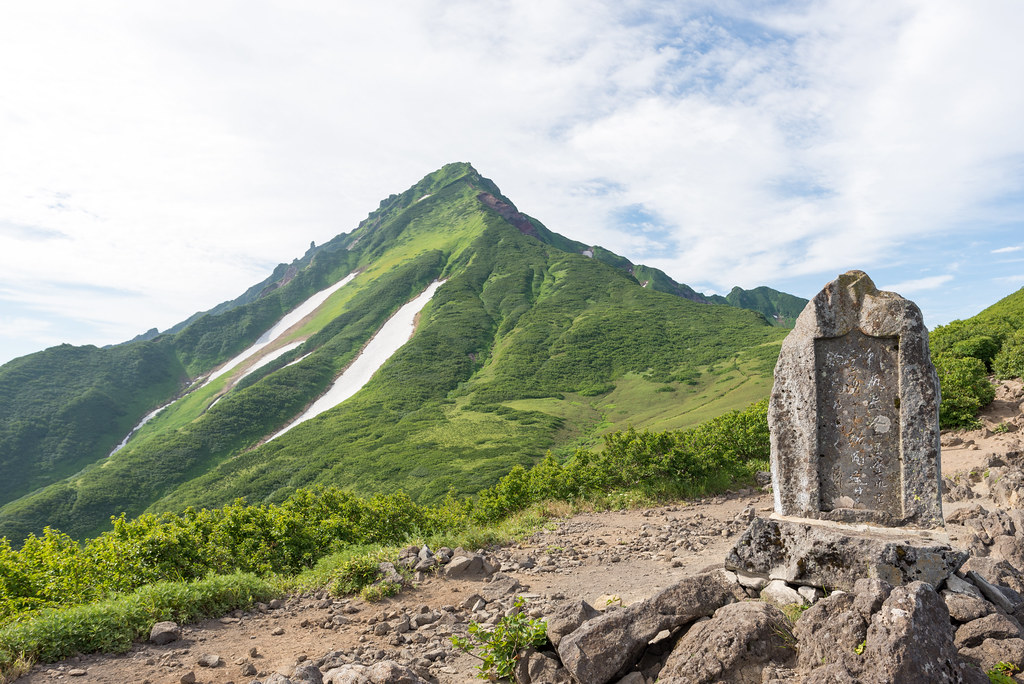
利尻山登山道 8合目 長官山
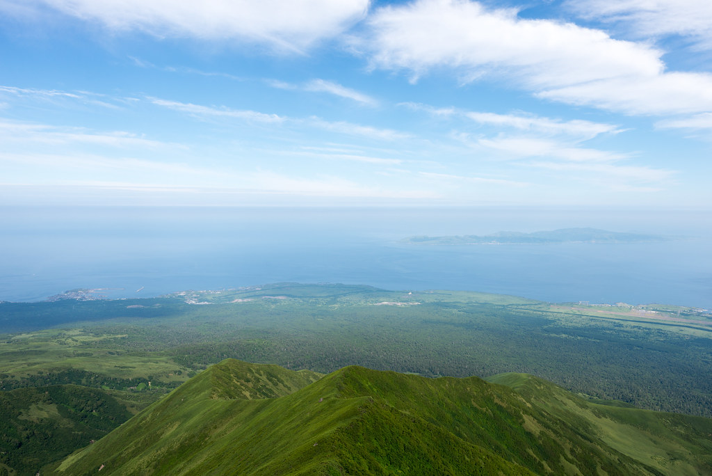
利尻山 登山道 8合目 長官山から見た礼文島
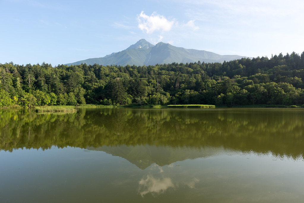
利尻島 姫沼と利尻富士
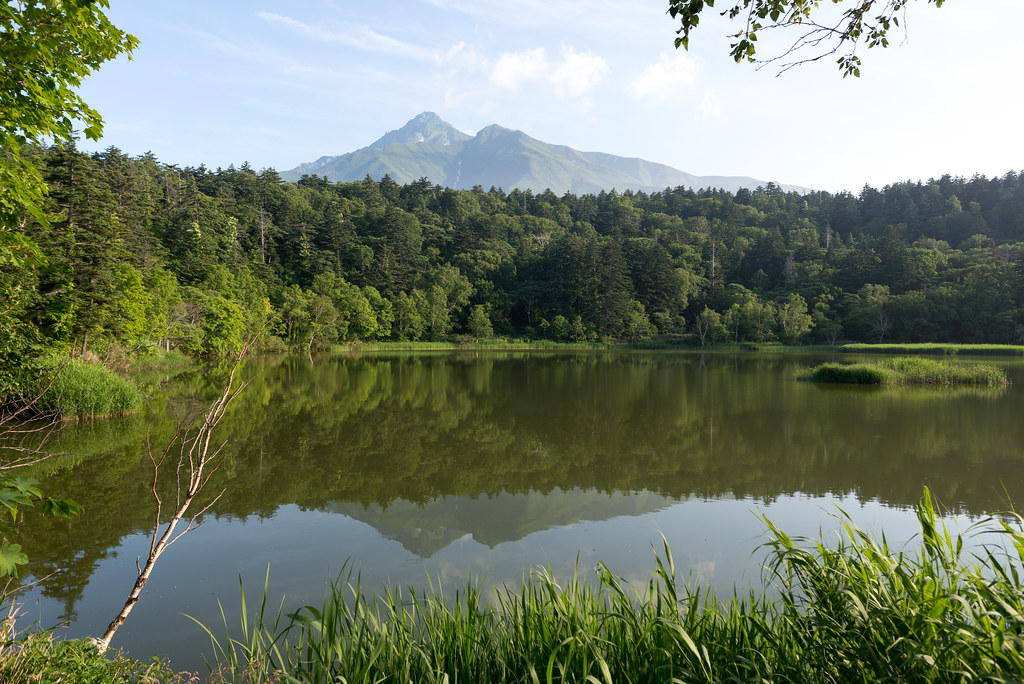
利尻島 姫沼と利尻富士
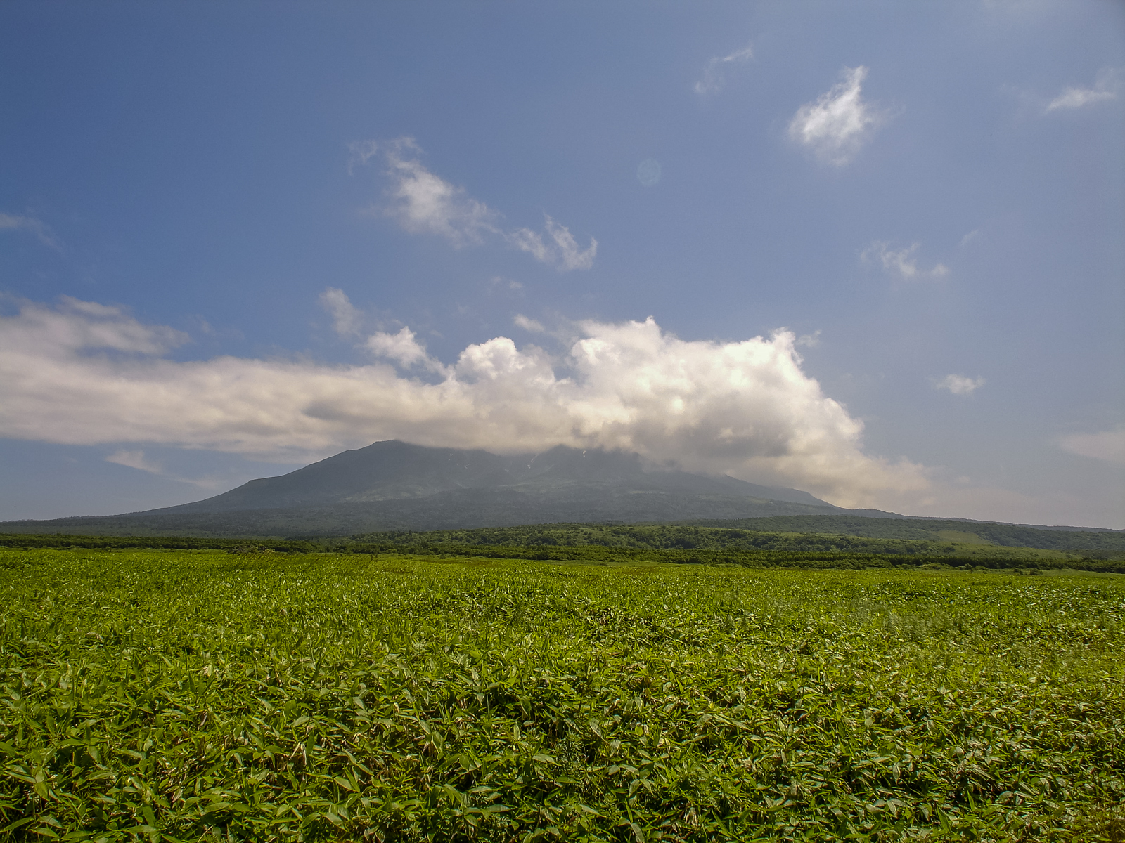
利尻島
利尻島 オタドマリ沼からみた利尻山

Rishiri island/Hokkaido
Japon, Rishiri-8.jpg
利尻島
Topographic Map of Rishiri Island, Rishiri District, Hokkaido Prefecture, Japan
Find elevation by address:

Places near Rishiri Island, Rishiri District, Hokkaido Prefecture, Japan:
Rishiri District
Wannai Oshidomari
Wannai-88 Oshidomari, Rishirifuji-chō, Rishiri-gun, Hokkaidō -, Japan
Oshidomari
Rishirifuji
Tanetomichō- Kutsugata, Rishiri-chō, Rishiri-gun, Hokkaidō -, Japan
Rishiri
Rebun
Ponnaioro Kafukamura
Ponnaioro-95 Kafukamura
Rebun District
Rebun Island
Funadomarimura
Tefunefu-74 Funadomarimura, Rebun-chō, Rebun-gun, Hokkaidō -, Japan
Wakkanai
Toyotomi
Honryū, Toyotomi-chō, Teshio-gun, Hokkaidō -, Japan
Recent Searches:
- Elevation of Corso Fratelli Cairoli, 35, Macerata MC, Italy
- Elevation of Tallevast Rd, Sarasota, FL, USA
- Elevation of 4th St E, Sonoma, CA, USA
- Elevation of Black Hollow Rd, Pennsdale, PA, USA
- Elevation of Oakland Ave, Williamsport, PA, USA
- Elevation of Pedrógão Grande, Portugal
- Elevation of Klee Dr, Martinsburg, WV, USA
- Elevation of Via Roma, Pieranica CR, Italy
- Elevation of Tavkvetili Mountain, Georgia
- Elevation of Hartfords Bluff Cir, Mt Pleasant, SC, USA