Elevation of Rippey, IA, USA
Location: United States > Iowa > Greene County > Washington >
Longitude: -94.201350
Latitude: 41.9338725
Elevation: 330m / 1083feet
Barometric Pressure: 97KPa
Elevation Map:
Satellite Map:
Related Photos:

Blue Steel took a picture!
Blue Steel took a picture!

sunset 6-26-13
Blue Steel took a picture!
Blue Steel took a picture!
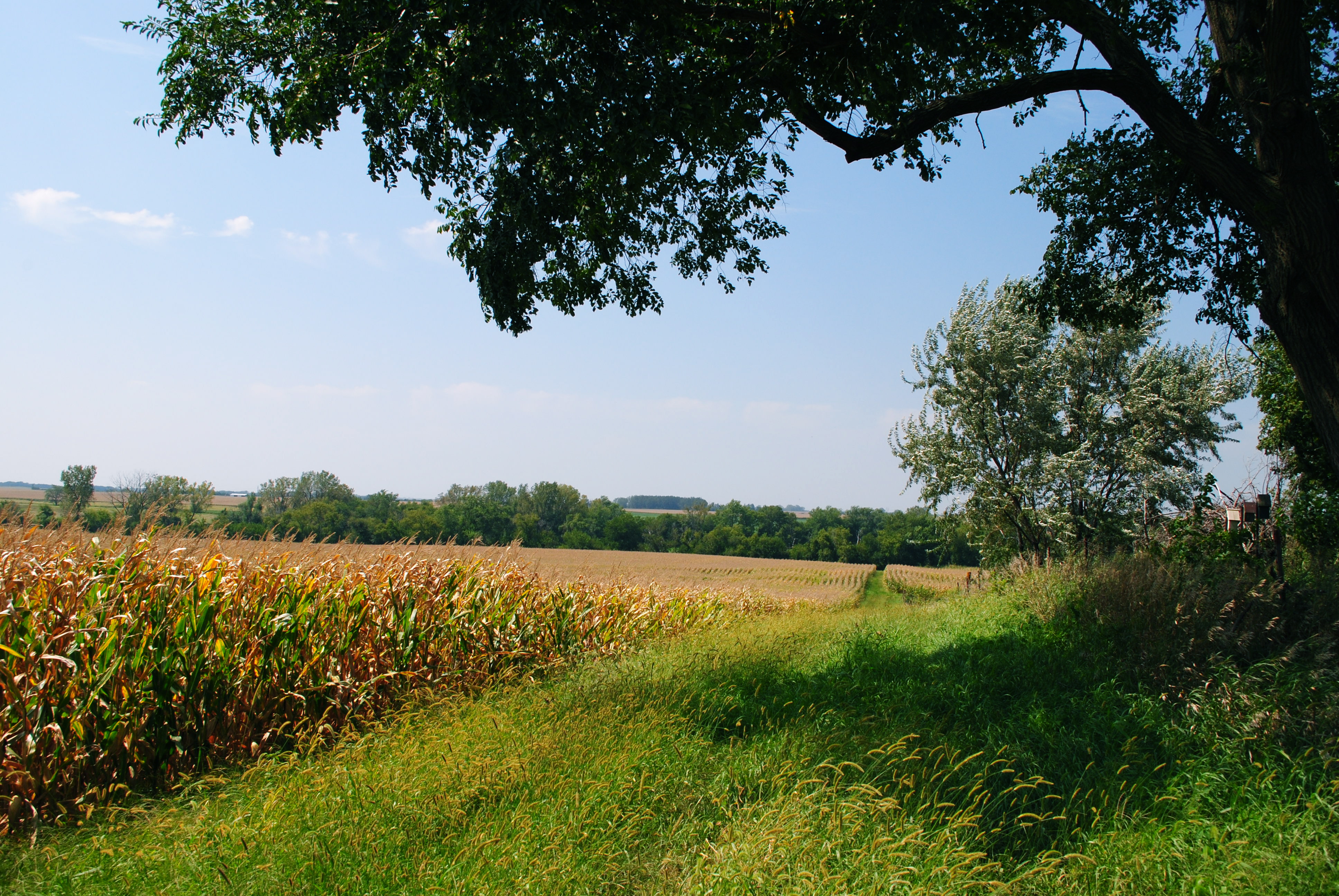
Corn Field
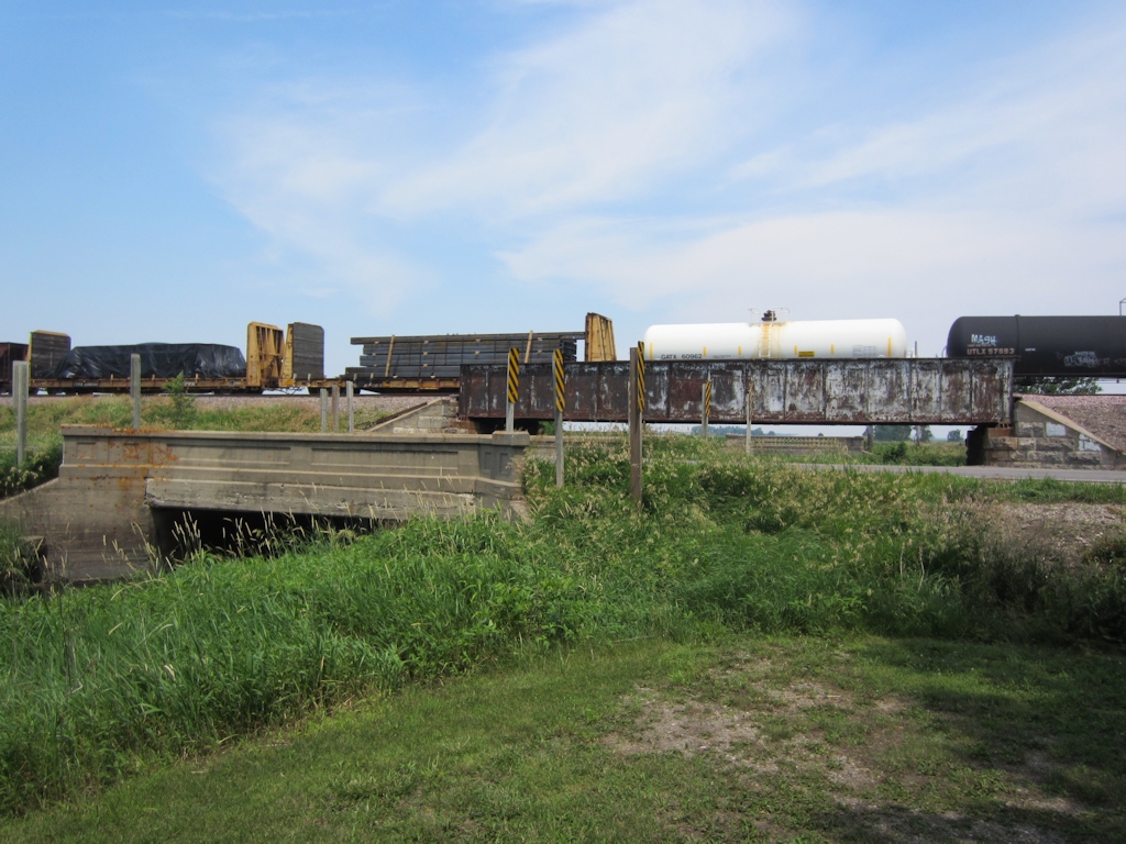
Lincoln Highway bridges east of Grand Junction
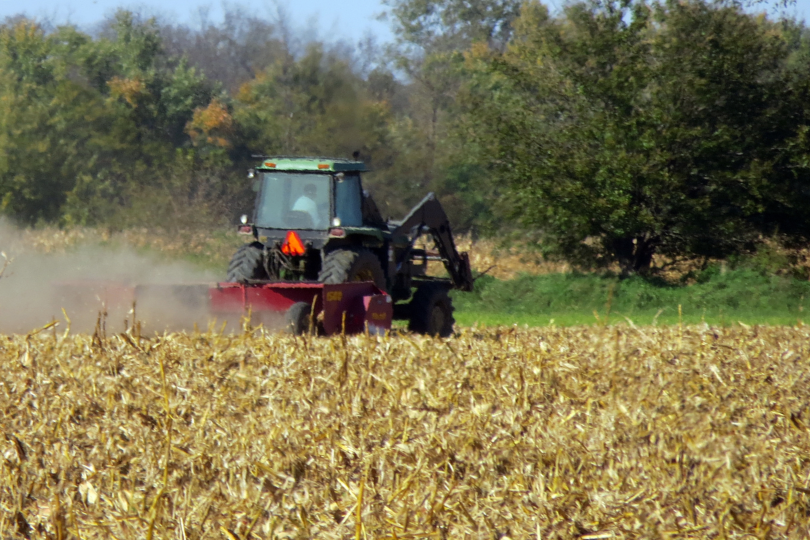
Hot and muggy--the corn loves it.
Corn field

Iowa #nofilter

Haunted Cornfield. Captured on an #iphone4s with an #olloclip and #filmicpro No grading. #ia365 #ia #iowa #cinema #cinematography #cinematographer #madeiniowa #iowafilm
Topographic Map of Rippey, IA, USA
Find elevation by address:

Places in Rippey, IA, USA:
Places near Rippey, IA, USA:
Main St, Rippey, IA, USA
Washington
1248 G Ave
Ogden
County E51 Rd, Ogden, IA, USA
S Beaver Ave, Bouton, IA, USA
Bouton
1248 I Ave
1248 I Ave
1248 I Ave
1248 I Ave
1248 I Ave
Beaver
Yell
U.s Highway 169
Marcy
16180 N Avenue
N Avenue
Minburn
Walnut St, Minburn, IA, USA
Recent Searches:
- Elevation of Corso Fratelli Cairoli, 35, Macerata MC, Italy
- Elevation of Tallevast Rd, Sarasota, FL, USA
- Elevation of 4th St E, Sonoma, CA, USA
- Elevation of Black Hollow Rd, Pennsdale, PA, USA
- Elevation of Oakland Ave, Williamsport, PA, USA
- Elevation of Pedrógão Grande, Portugal
- Elevation of Klee Dr, Martinsburg, WV, USA
- Elevation of Via Roma, Pieranica CR, Italy
- Elevation of Tavkvetili Mountain, Georgia
- Elevation of Hartfords Bluff Cir, Mt Pleasant, SC, USA