Elevation of Rincon-Stillwell Rd, Rincon, GA, USA
Location: United States > Georgia > Effingham County > Rincon >
Longitude: -81.212654
Latitude: 32.312188
Elevation: 22m / 72feet
Barometric Pressure: 101KPa
Elevation Map:
Satellite Map:
Related Photos:
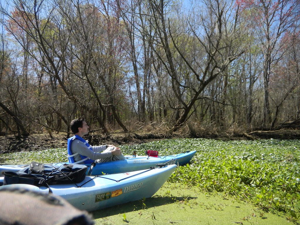
Admiring the View
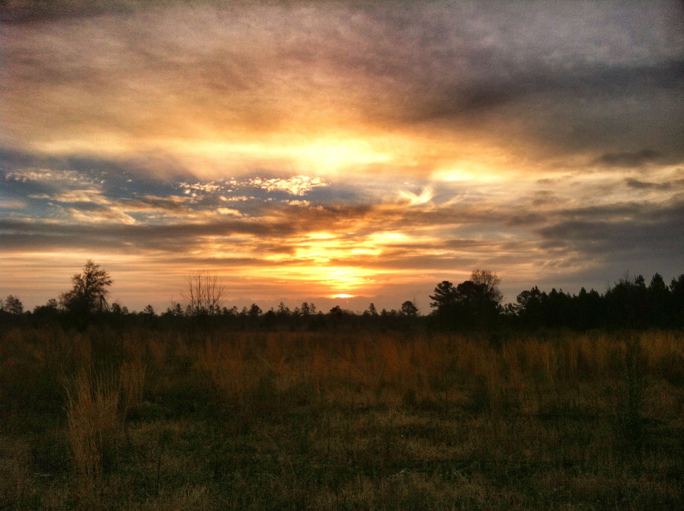
Friday Sunrises are best
DSC_2702.jpg

July22 (11 of 115)

Hummingbird-2859
Becks Ferry Landing, 1_2, 11/26/09, Jasper County SC

DSC_2699.jpg

DSC_2635_6_7_HDR.jpg

Hummingbird-2854

Hummingbird-2796

Effingham Courthouse Painting

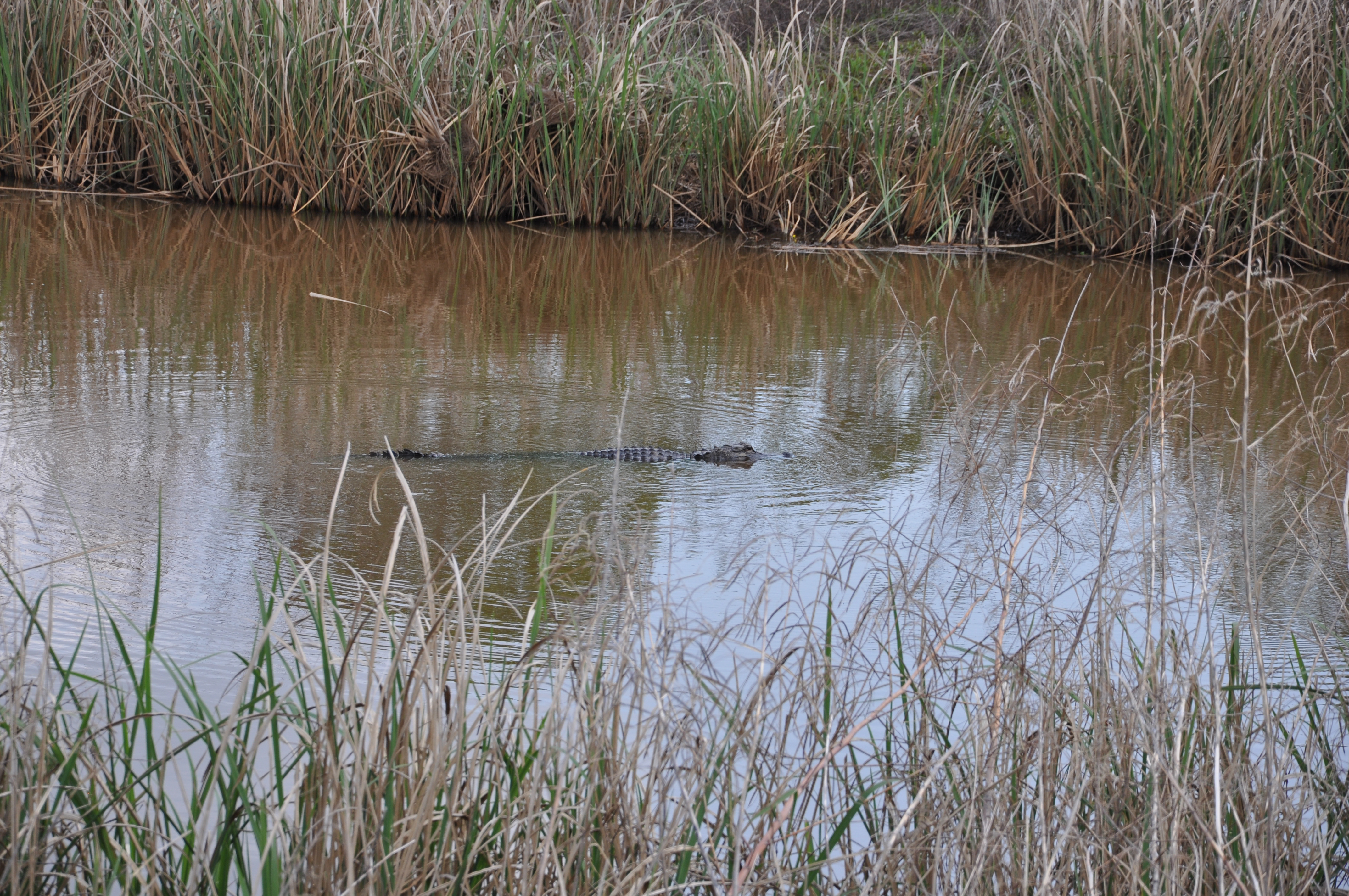
GA-SC Border
Approaching the Railroad Trestle
DSC_2672.jpg
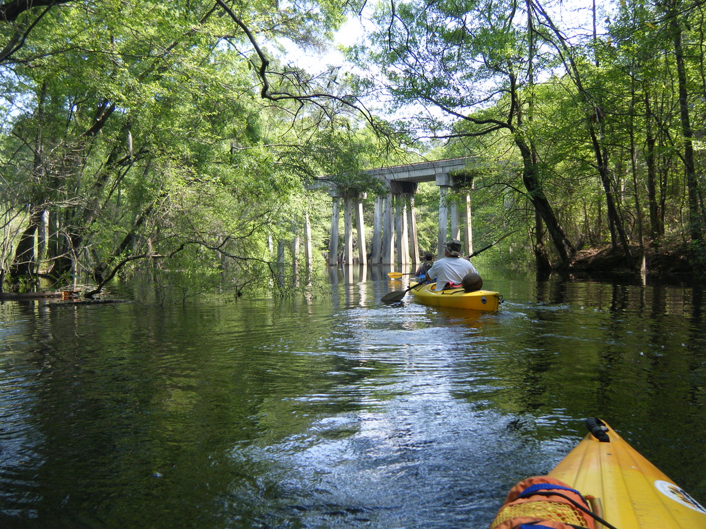
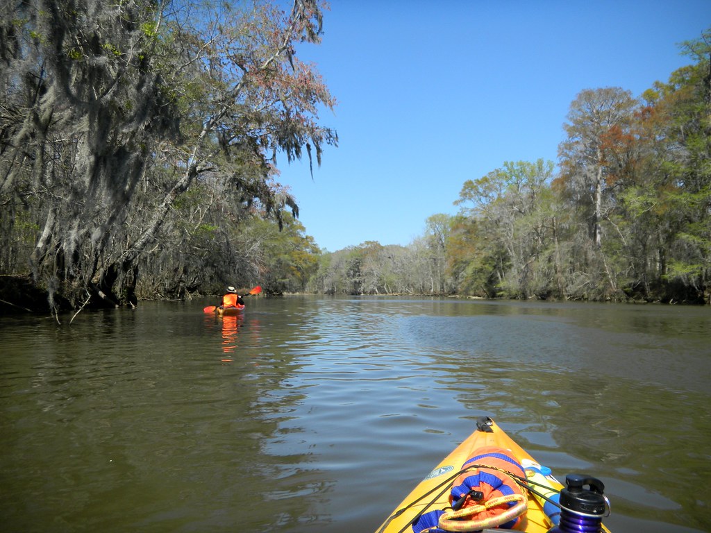
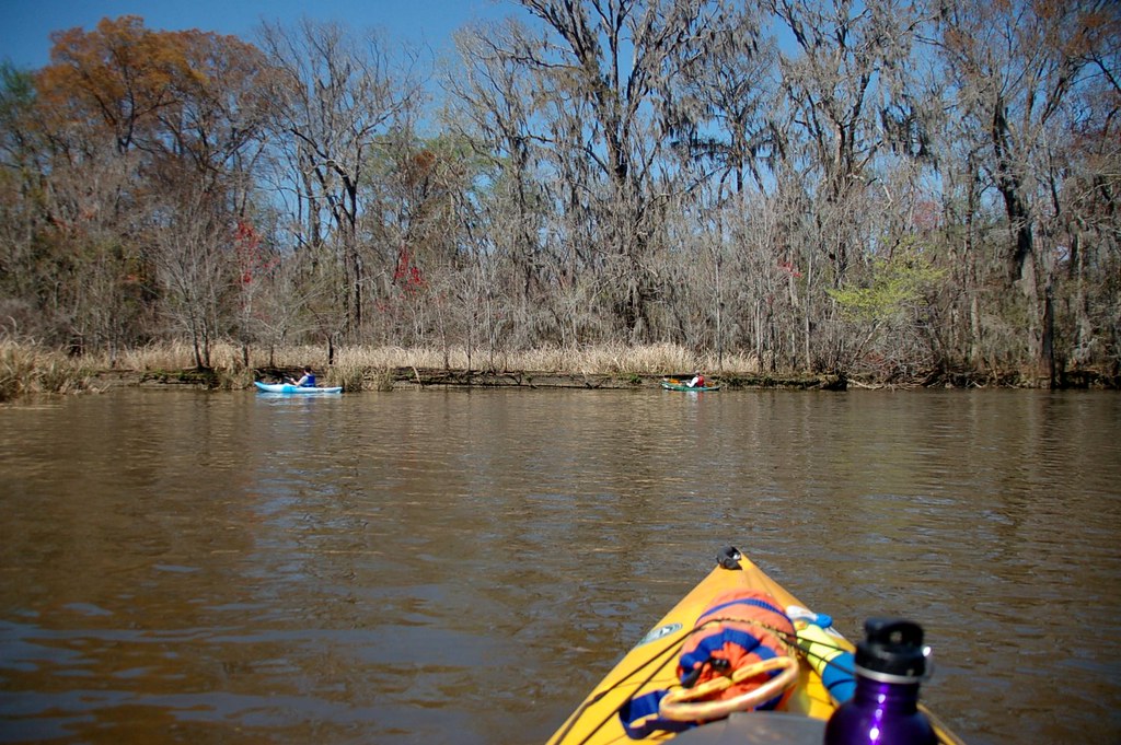
Ebenezer Creek kayaking

Pine Forest 1 Jasper County SC 12/00/11
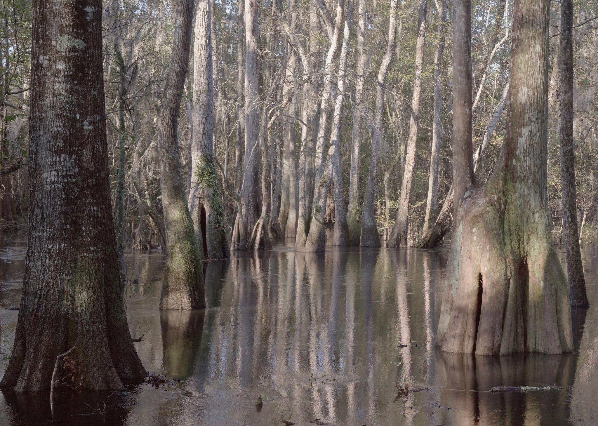
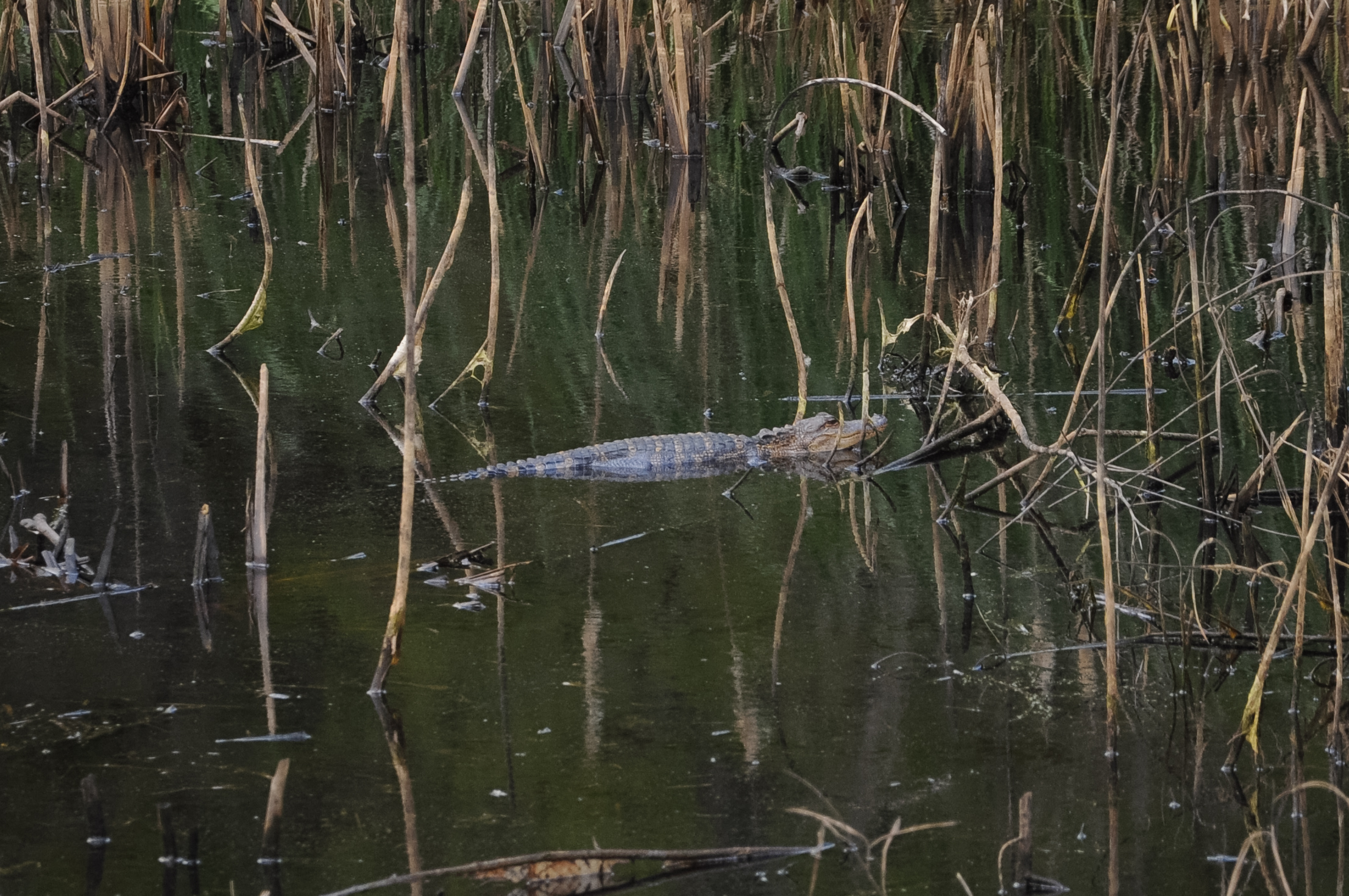
The cypress swamp

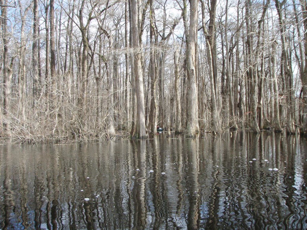
Cypress Cathedrals
Paddling in the Oxbow Lake
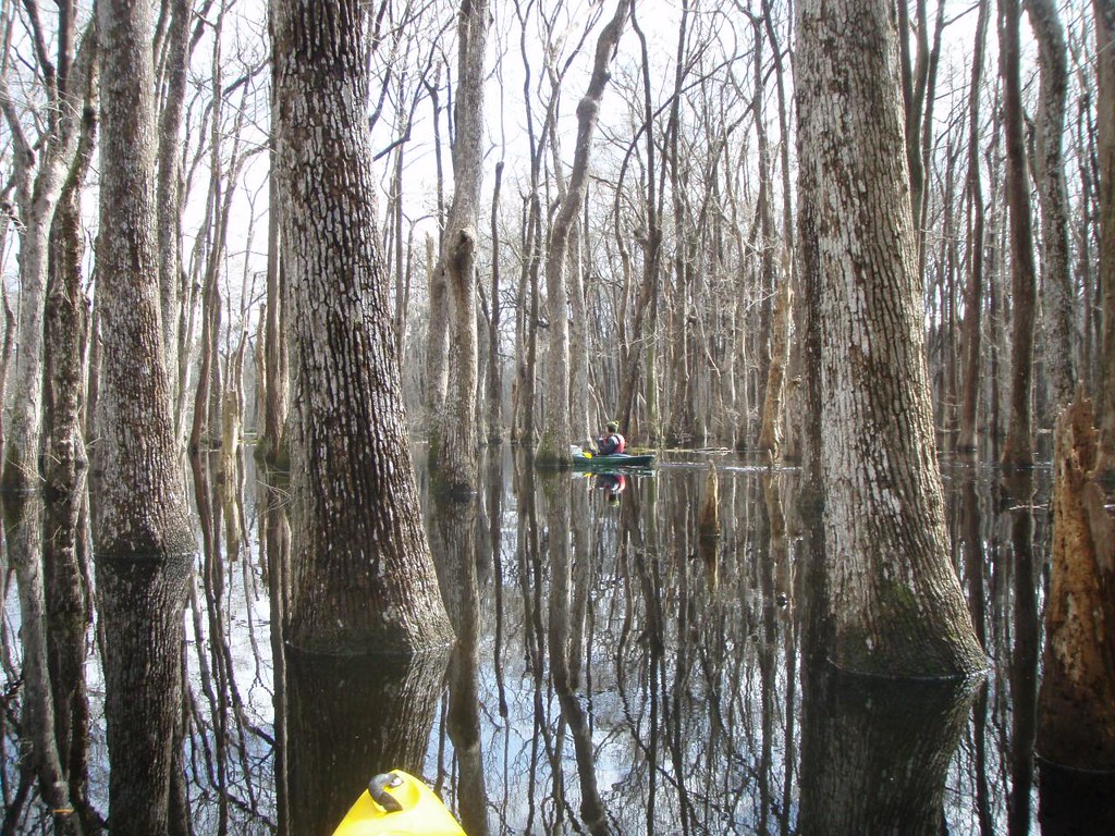
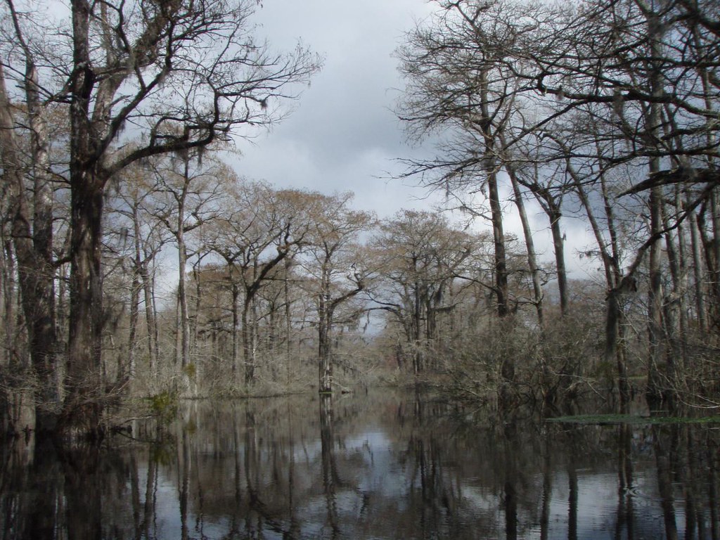
Inside the cypress swamp
Approaching the Wrecked Barge
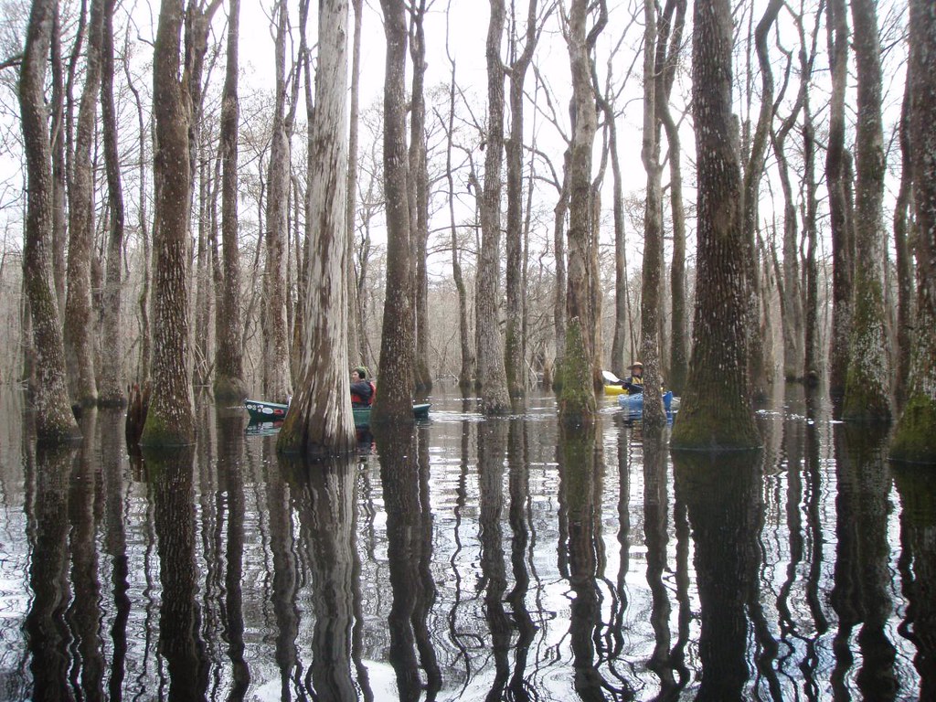
Inside the cypress swamp
Topographic Map of Rincon-Stillwell Rd, Rincon, GA, USA
Find elevation by address:

Places near Rincon-Stillwell Rd, Rincon, GA, USA:
900 Fort Howard Rd
112 Karima Cir
107 St Andrews Rd
Rincon
433 Walthour Dr
212 Lake Tomacheechee Dr
210 Lake Tomacheechee Dr
212 Lake Tomacheechee Dr
200 Lake Tomacheechee Dr
503 Broome Ln
150 Hardy Rd
5150 Ga-21
126 Cypress Dr
Provident Ob/gyn Associates
300 Chimney Rd
217 Greene Dr
4650 Mccall Rd
Milton Rahn Road
Maple Drive
112 Highland Rd
Recent Searches:
- Elevation of Lampiasi St, Sarasota, FL, USA
- Elevation of Elwyn Dr, Roanoke Rapids, NC, USA
- Elevation of Congressional Dr, Stevensville, MD, USA
- Elevation of Bellview Rd, McLean, VA, USA
- Elevation of Stage Island Rd, Chatham, MA, USA
- Elevation of Shibuya Scramble Crossing, 21 Udagawacho, Shibuya City, Tokyo -, Japan
- Elevation of Jadagoniai, Kaunas District Municipality, Lithuania
- Elevation of Pagonija rock, Kranto 7-oji g. 8"N, Kaunas, Lithuania
- Elevation of Co Rd 87, Jamestown, CO, USA
- Elevation of Tenjo, Cundinamarca, Colombia