Elevation of Rincón de la Vieja Volcano, Costa Rica
Location: Costa Rica > Guanacaste >
Longitude: -85.336352
Latitude: 10.8315286
Elevation: 1513m / 4964feet
Barometric Pressure: 84KPa
Elevation Map:
Satellite Map:
Related Photos:

Hanging Bridges: View of the Canopy

View From the Top
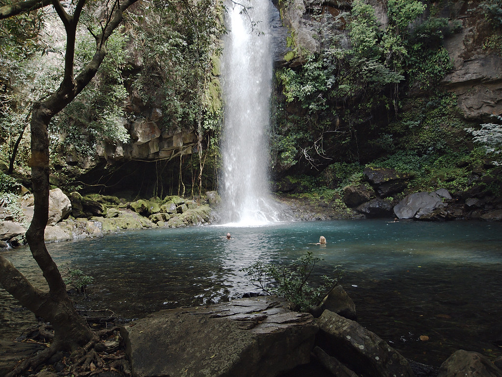
Catarata La Cangreja 2
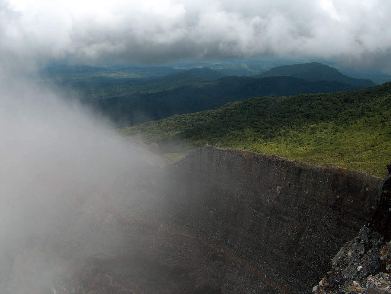
Vistas desde el crater activo

Rincon De La Vieja
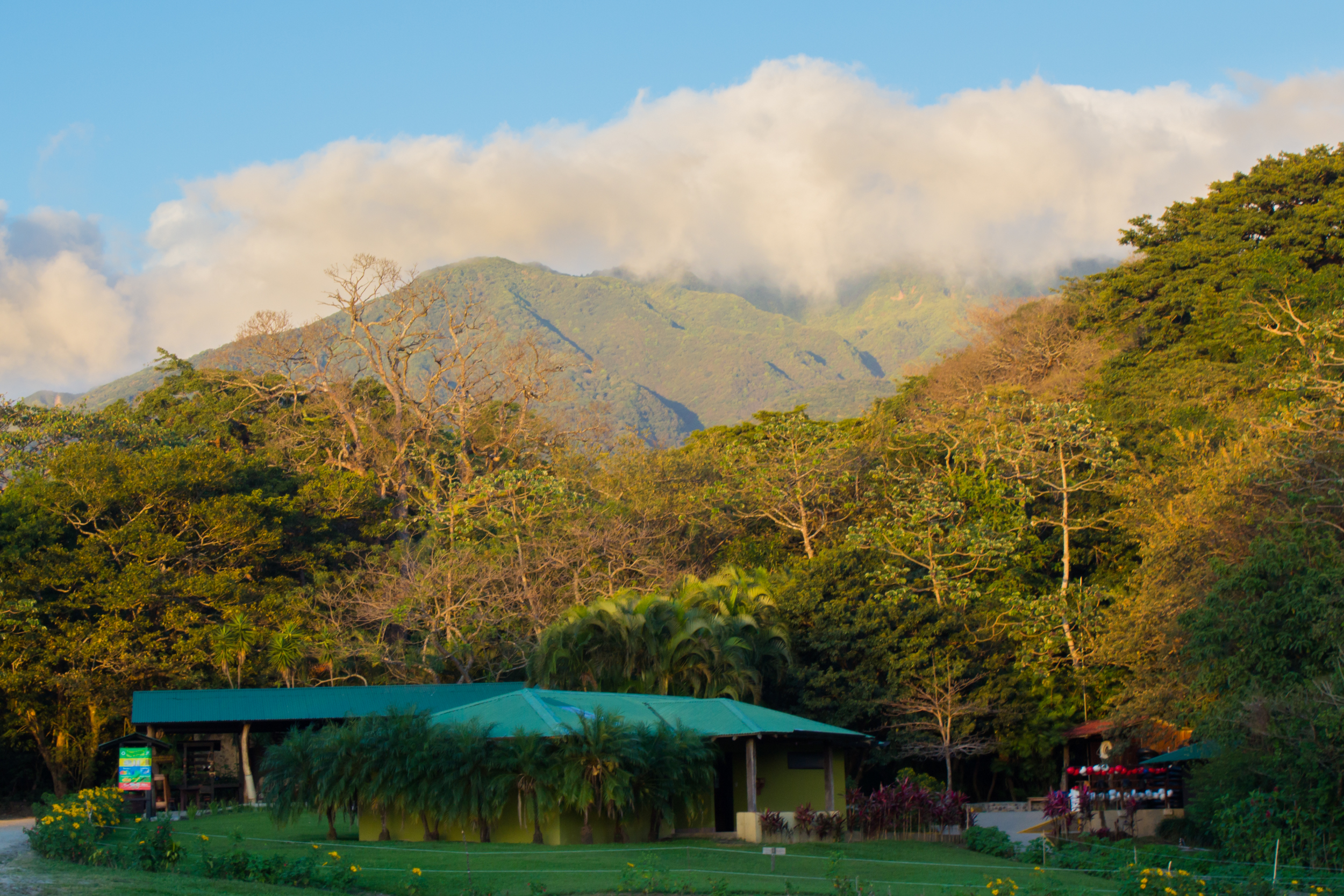
Buena Vista: What's in a Name?
Topographic Map of Rincón de la Vieja Volcano, Costa Rica
Find elevation by address:

Places near Rincón de la Vieja Volcano, Costa Rica:
Borinquen Mountain Resort & Spa - Rincón De La Vieja
Qhg3+7f
Buena Vista
Rr8w+3v
Orosi Volcano
Miravalles Volcano
Liberia
Camarenos
Pwj2+x4
Rio Perdido
Bijagua
Daniel Oduber Quirós International Airport
Bagaces
Bagaces Park
Bagaces
Upala
Guanacaste
Volcan Tenorio
Guapinol
Playa Panama
Recent Searches:
- Elevation of Corso Fratelli Cairoli, 35, Macerata MC, Italy
- Elevation of Tallevast Rd, Sarasota, FL, USA
- Elevation of 4th St E, Sonoma, CA, USA
- Elevation of Black Hollow Rd, Pennsdale, PA, USA
- Elevation of Oakland Ave, Williamsport, PA, USA
- Elevation of Pedrógão Grande, Portugal
- Elevation of Klee Dr, Martinsburg, WV, USA
- Elevation of Via Roma, Pieranica CR, Italy
- Elevation of Tavkvetili Mountain, Georgia
- Elevation of Hartfords Bluff Cir, Mt Pleasant, SC, USA