Elevation of Rikuzentakata, Iwate Prefecture, Japan
Location: Japan > Iwate Prefecture >
Longitude: 141.625494
Latitude: 39.0276607
Elevation: 66m / 217feet
Barometric Pressure: 101KPa
Elevation Map:
Satellite Map:
Related Photos:
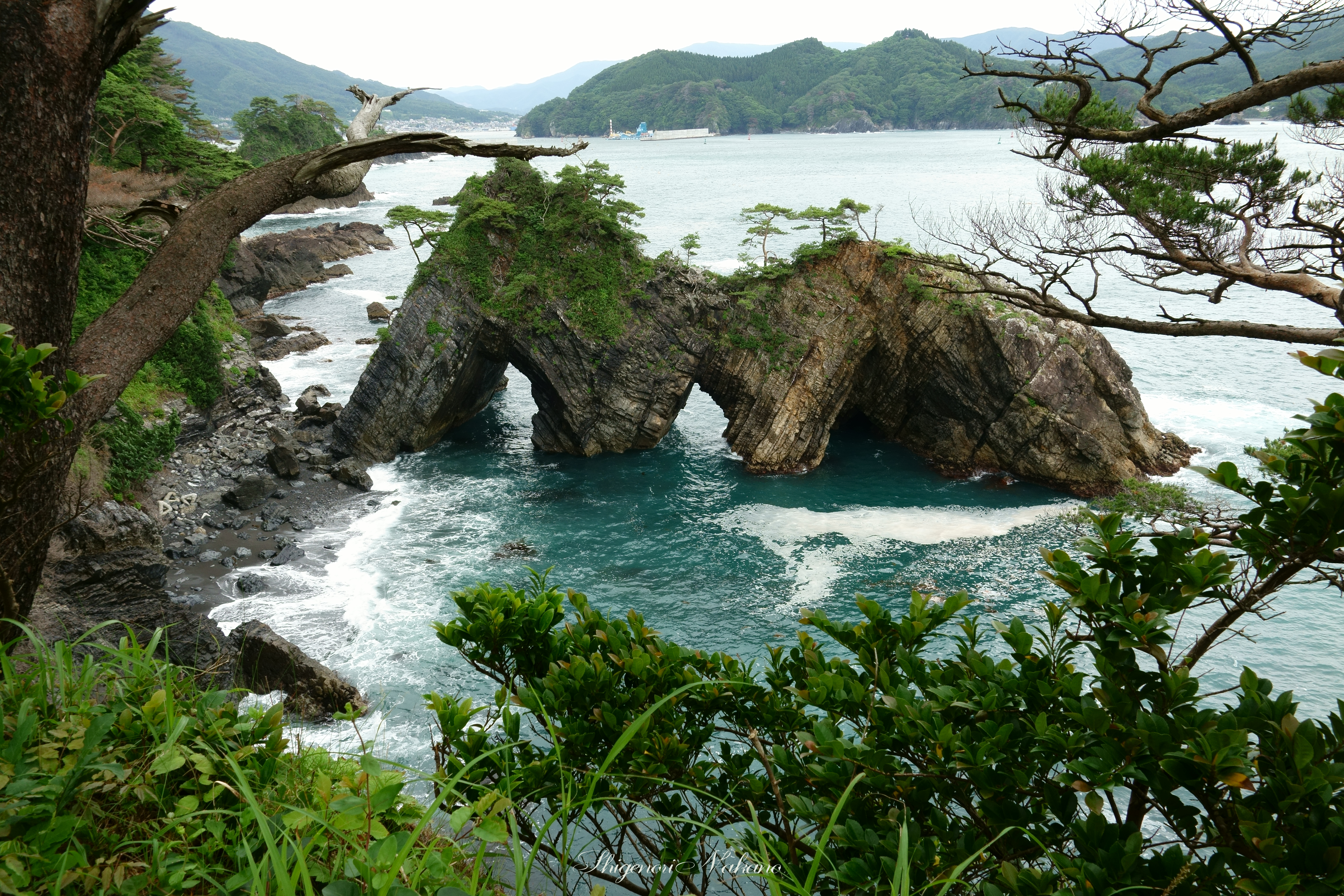
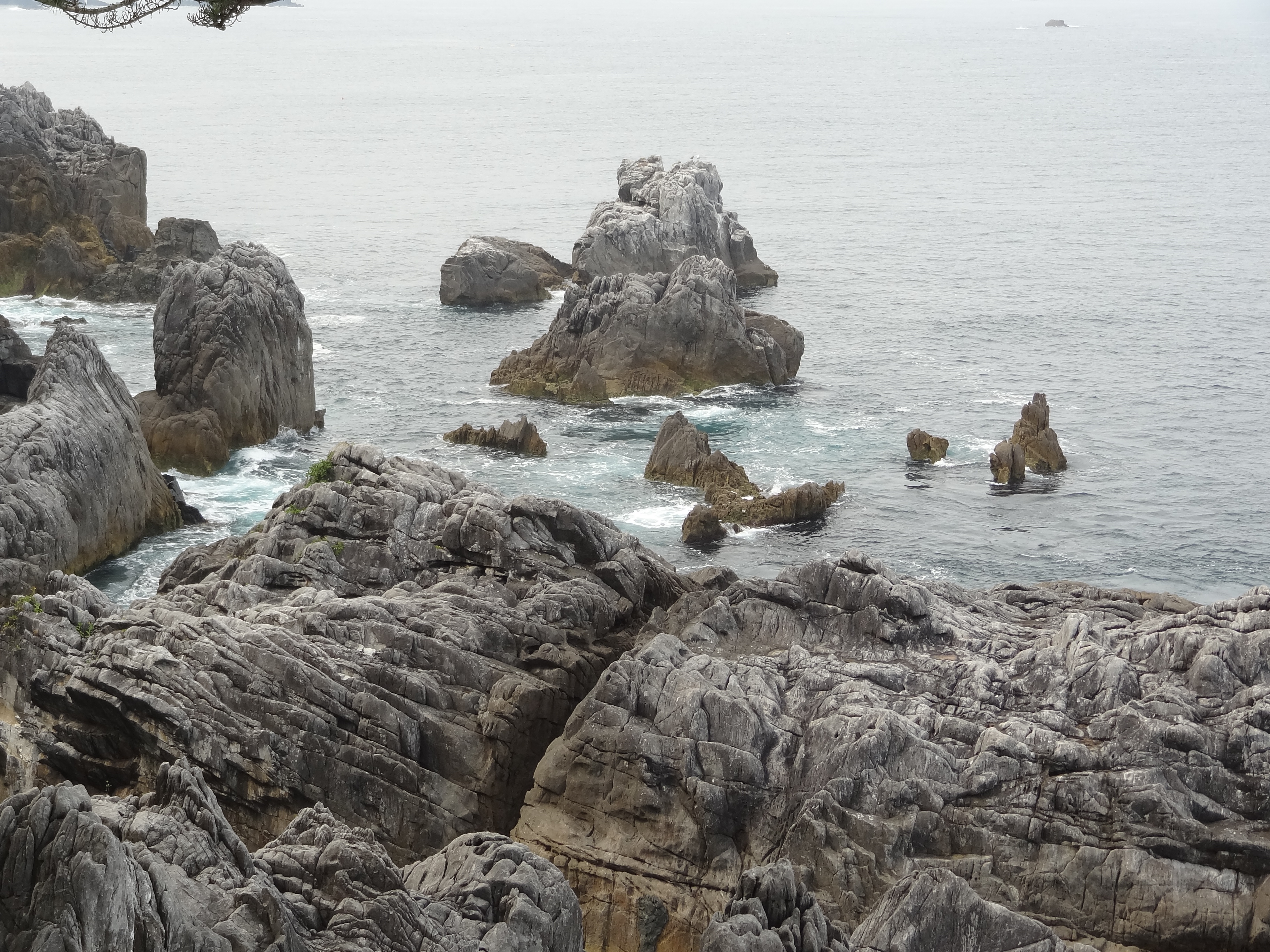
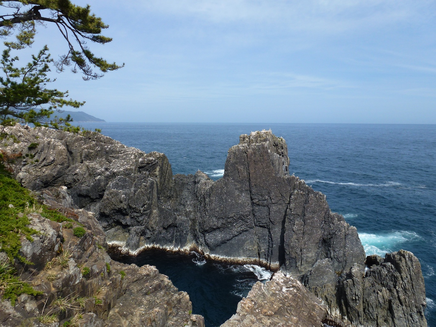
穴通磯 - Strangely shaped rocks "Anatoshi-iso"
碁石海岸 - The shore and the Pacific.
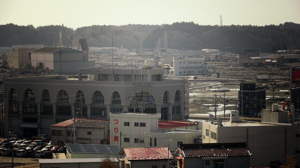
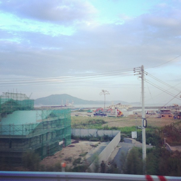
Aerial high angle view of Kesennuma city and its fishing port revealing its state of destruction by the 2011 tsunami

The Rikuzentakata Miracle Pine
View from Shinto shrine, Ofunato
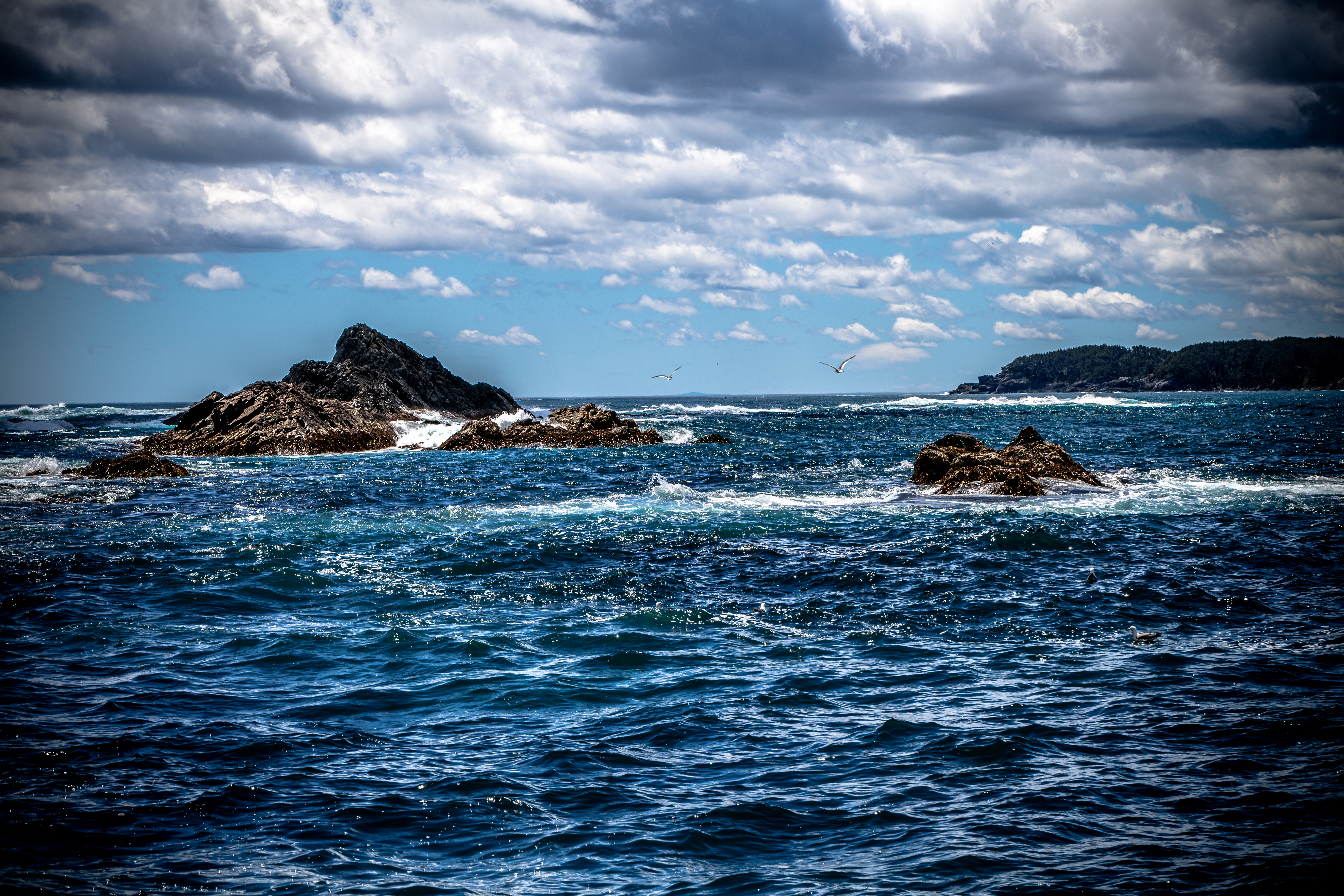
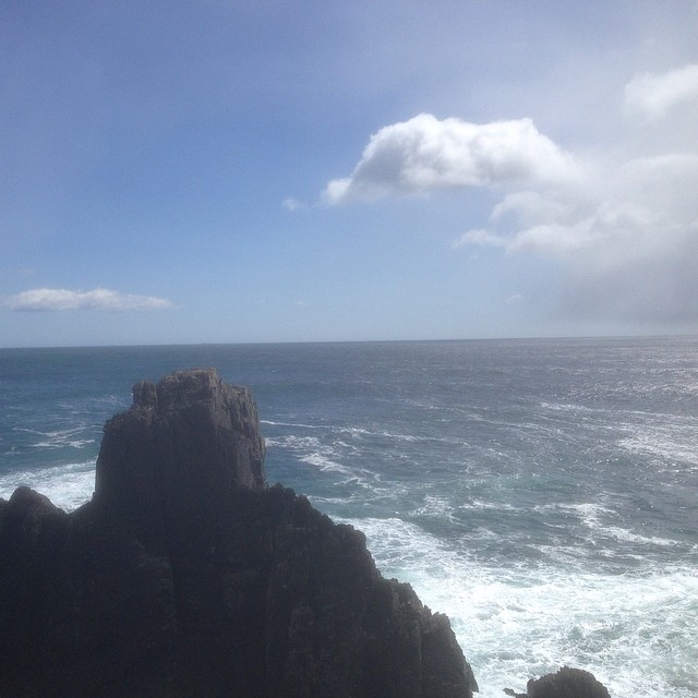
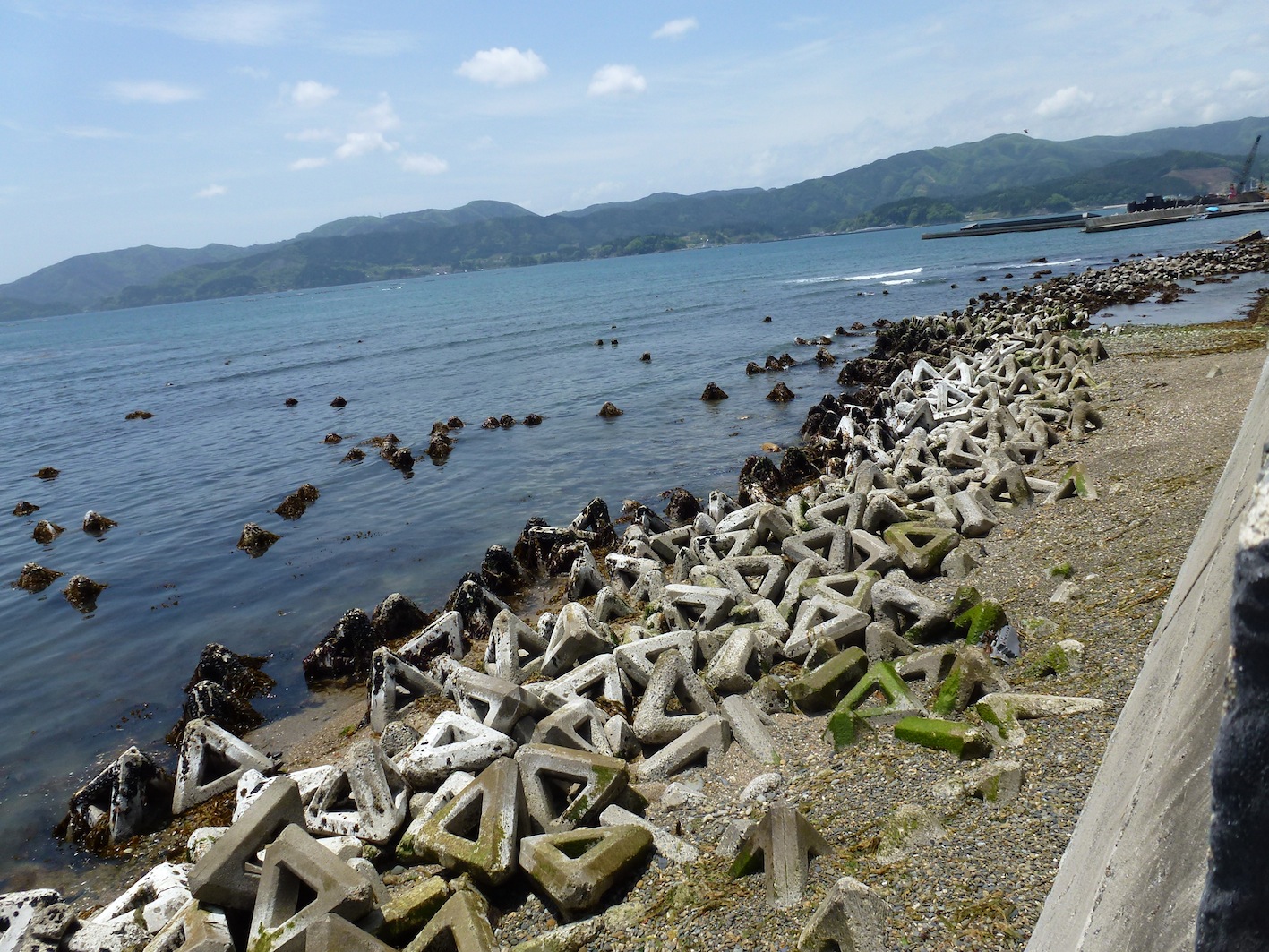
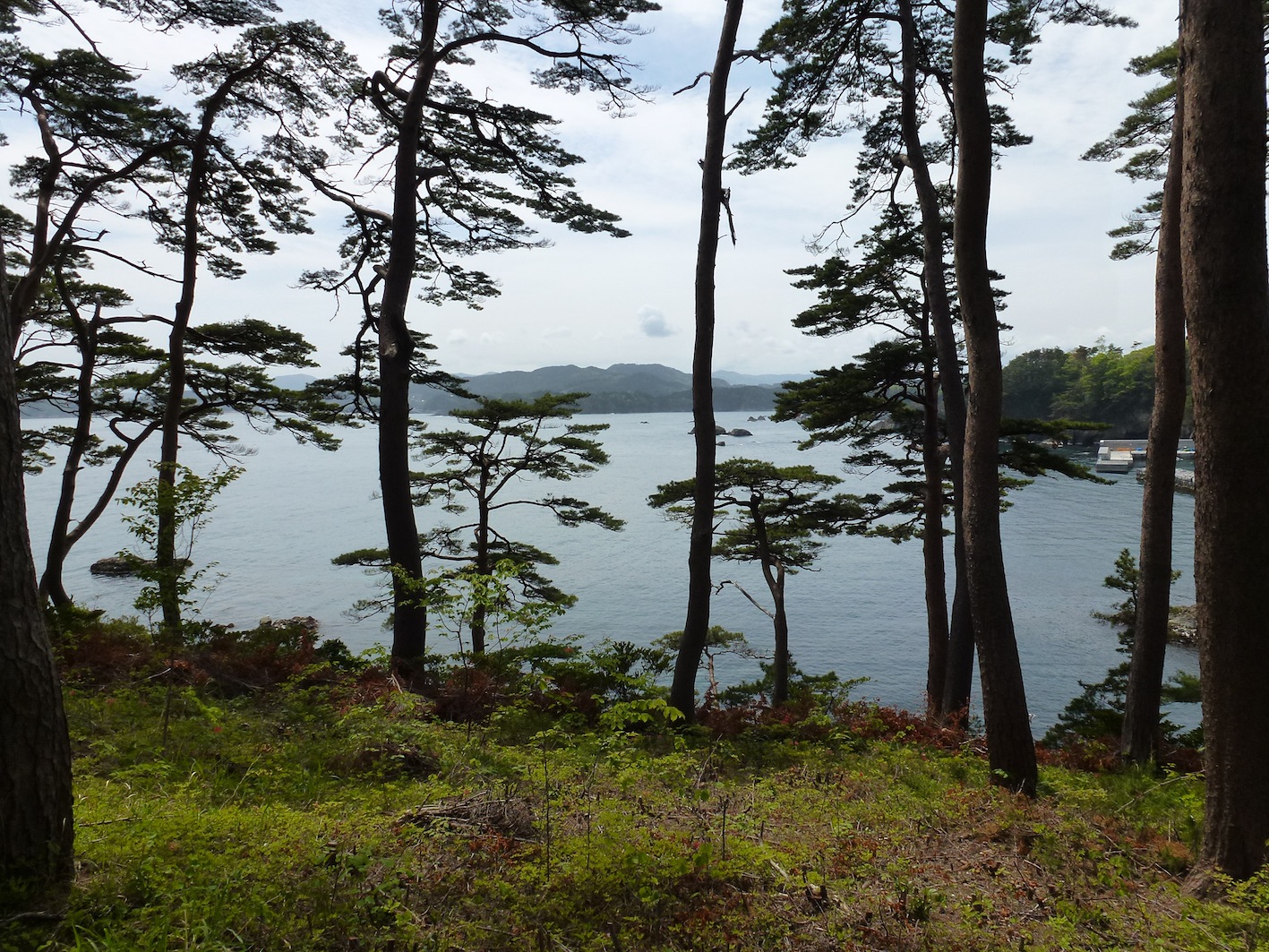
Goishi Coast

View from Yonezawa Shokai, Rikuzentakata 陸前高田市 米沢商会
View from Yonezawa Shokai, Rikuzentakata 陸前高田市 米沢商会
碁石岬
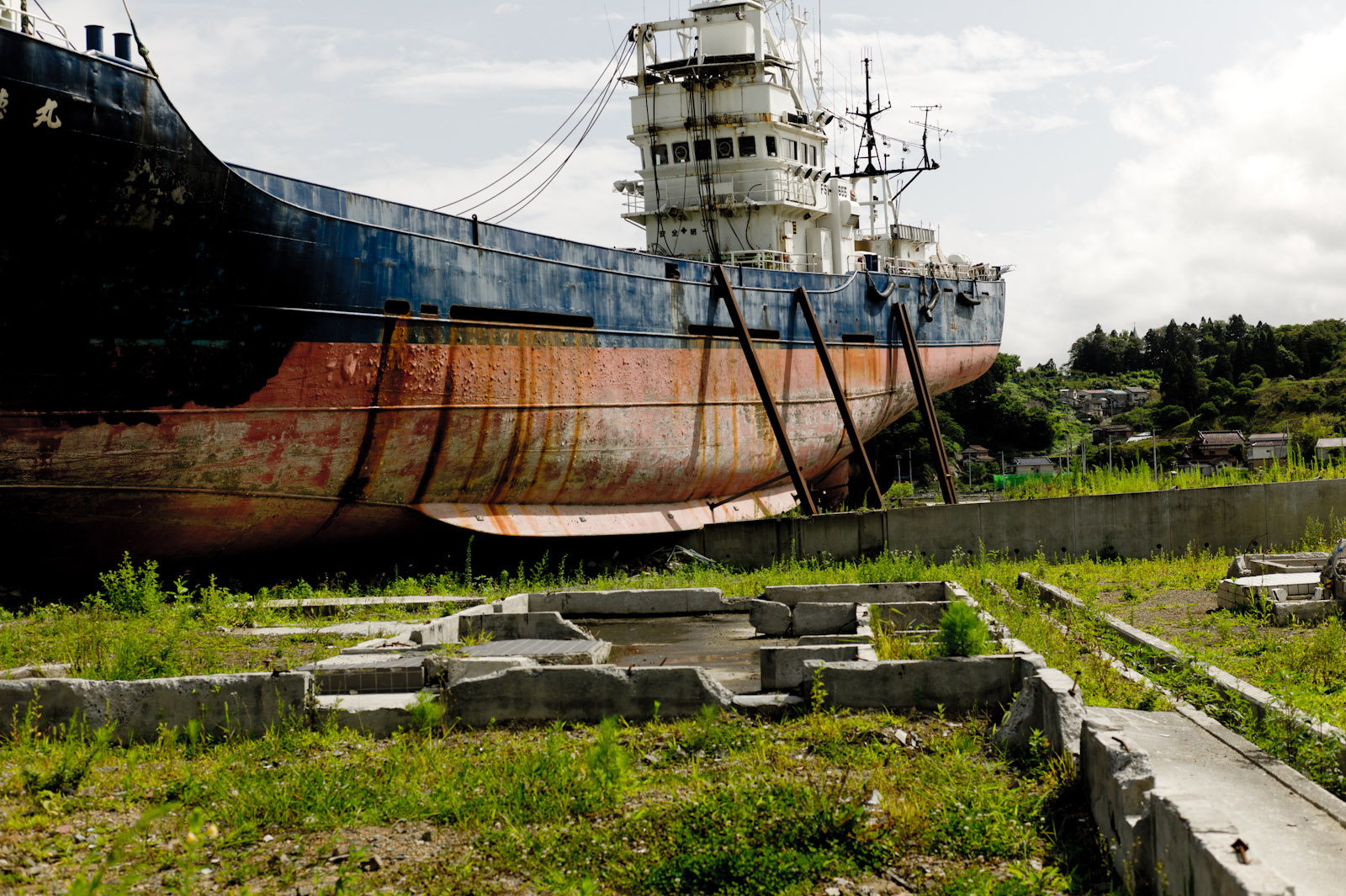
Kesennuma | The second summer from tsunami
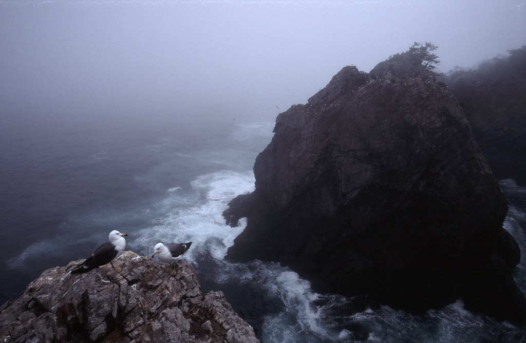
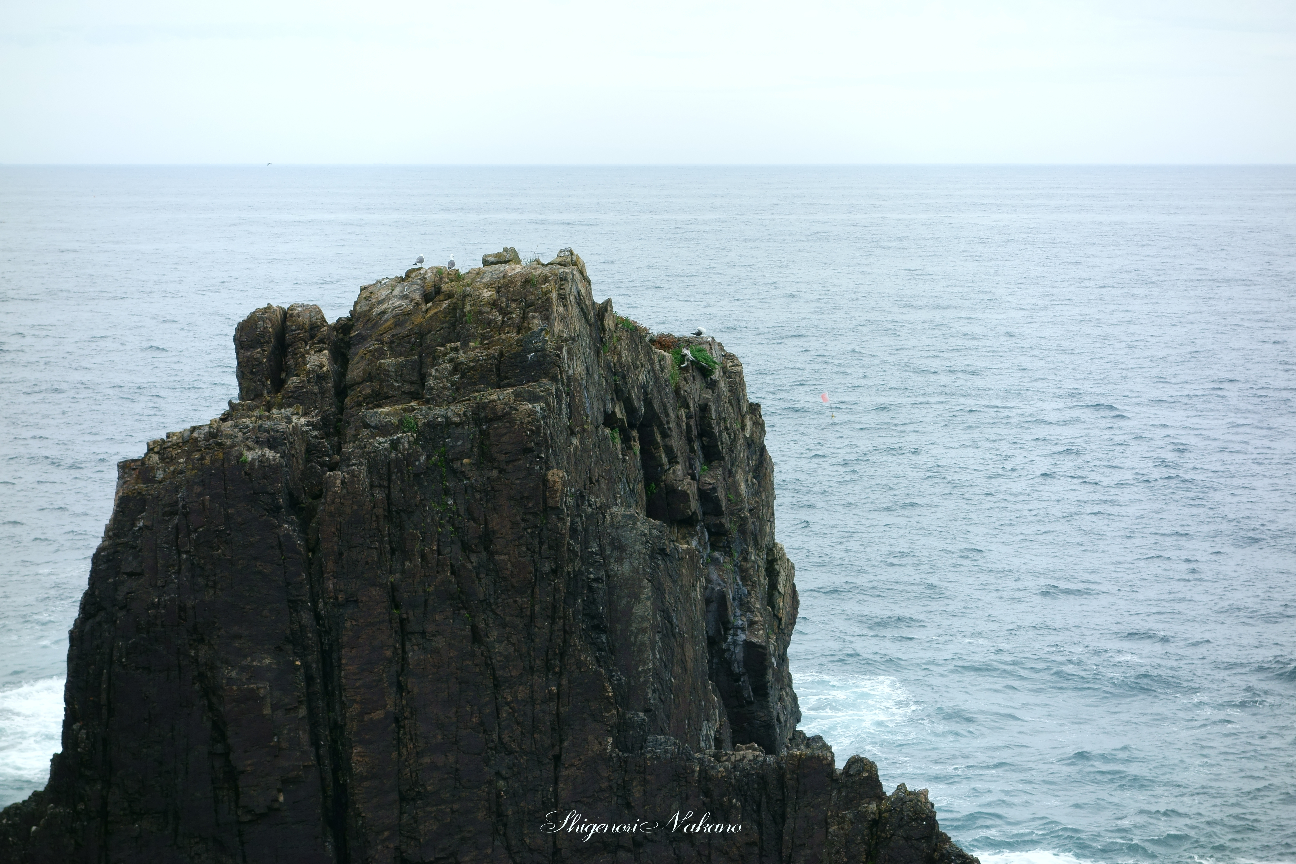
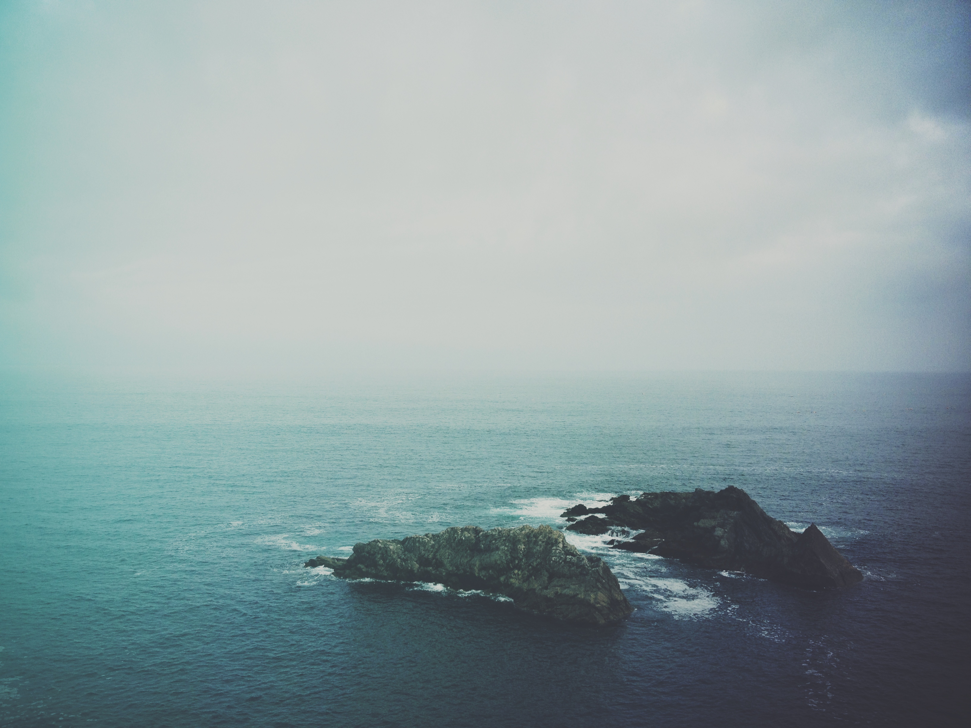
Sea Gulls in Fog
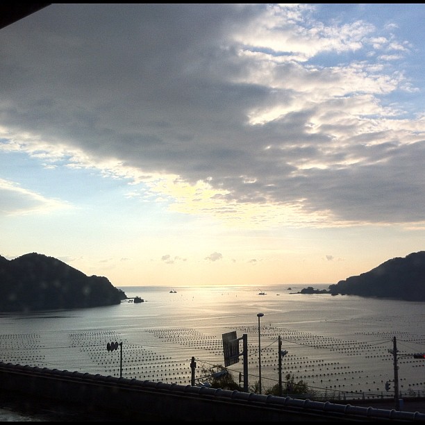
太平洋!
窓から
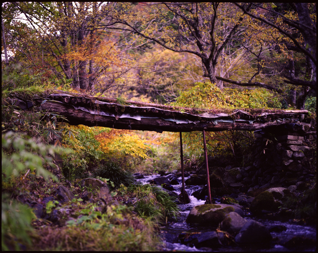
autumn small bridge
Kesennuma | The second summer from tsunami

宮城県気仙沼市 サンマリン気仙沼ホテル観洋より
キャピタルホテル

Rikuzen-Takata | The second summer from tsunami
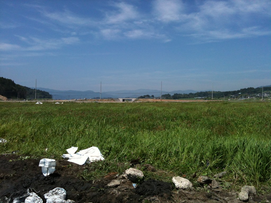
280513 Rikuzentakata, Iwate prefecture, Japan

280513 Goishi Coast, Iwate prefecture, Japan
2013/08/16 三陸海岸@巨釜・宮城県気仙沼市唐桑町
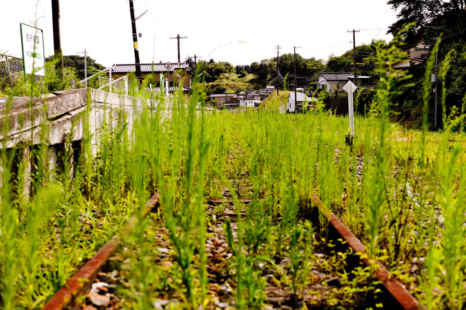
高田

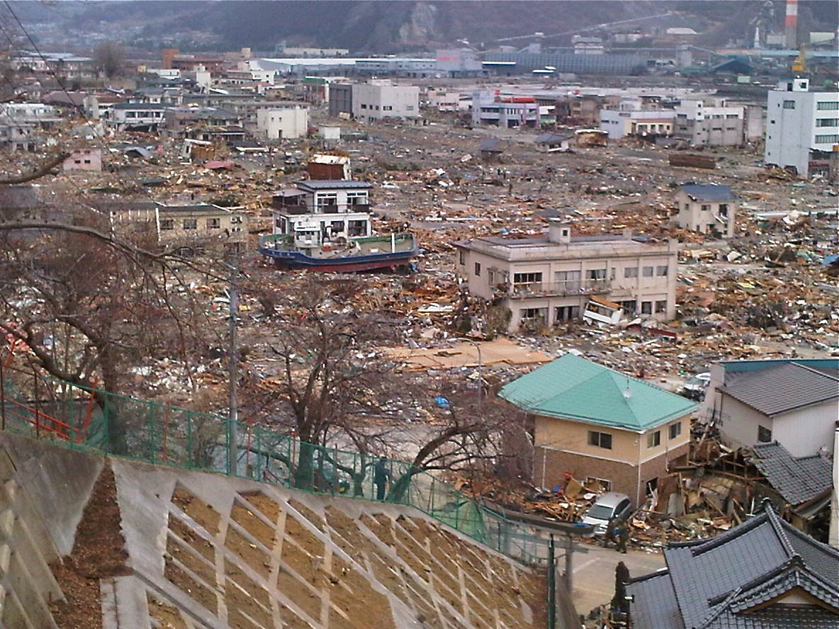
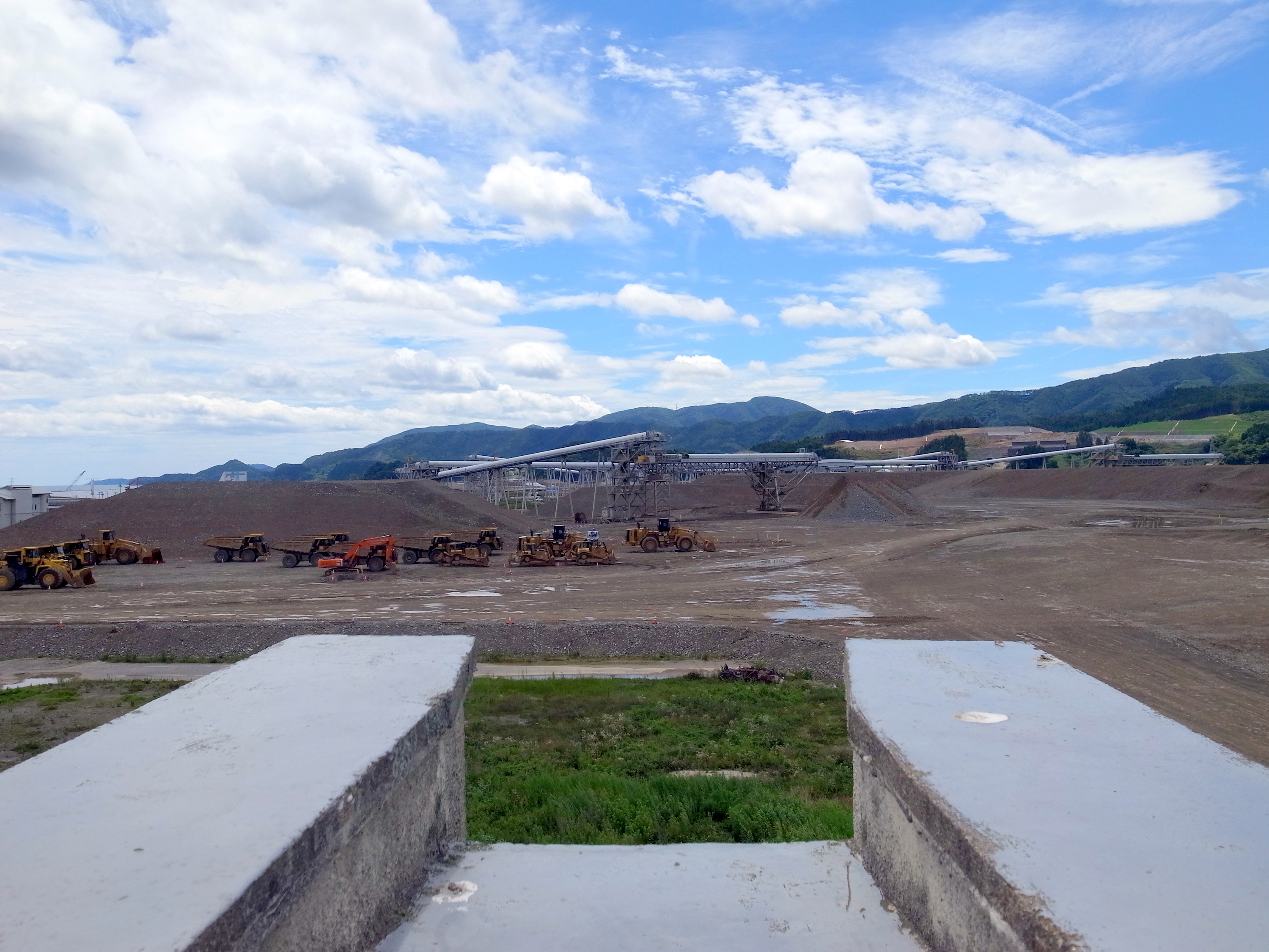
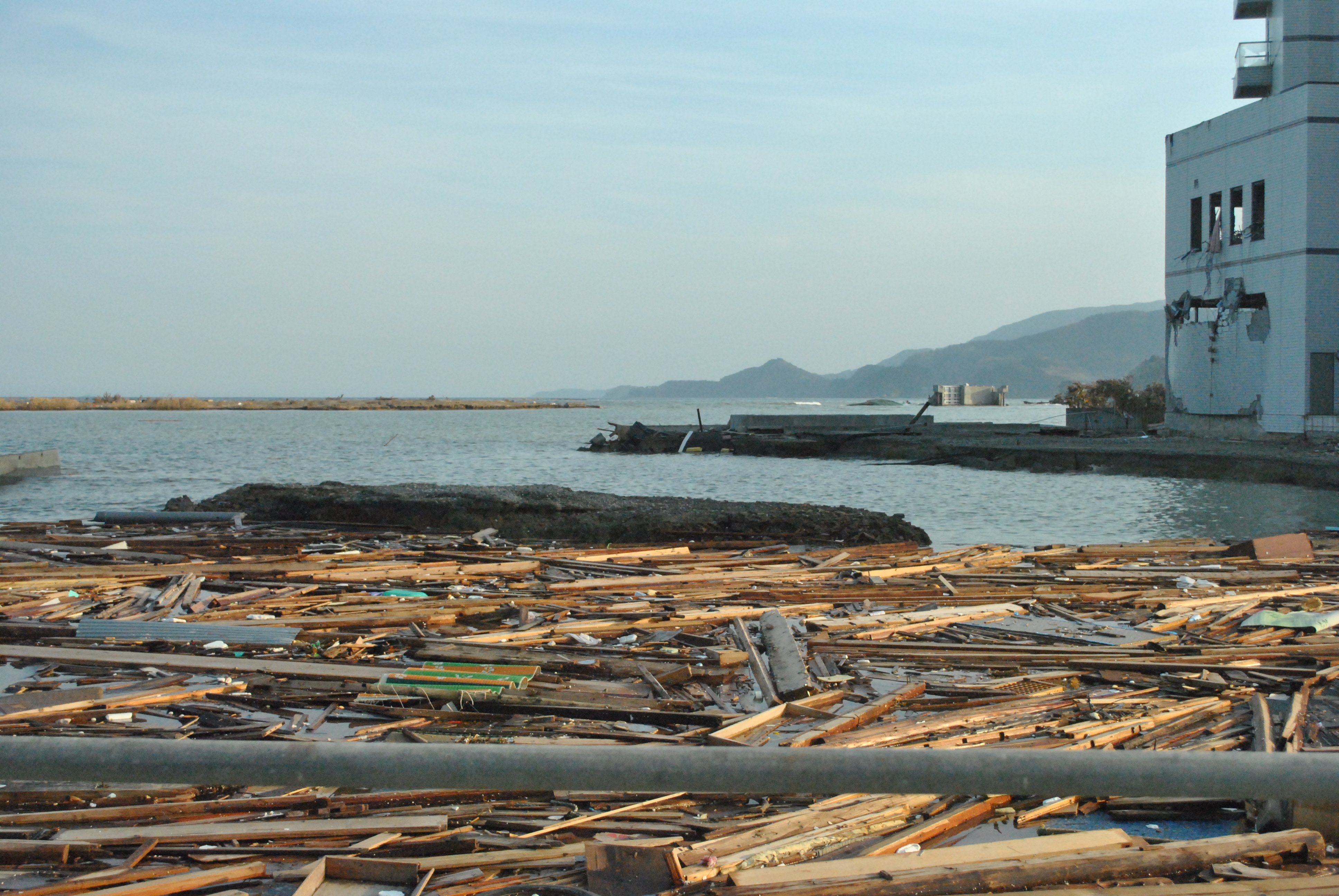
120324 ruins
280513 Goishi Coast, Iwate prefecture, Japan
280513 Goishi Coast, Iwate prefecture, Japan

2013/08/16 岩の隙間に咲くユリ@巨釜・宮城県気仙沼市唐桑町
奇跡の一本満足
Topographic Map of Rikuzentakata, Iwate Prefecture, Japan
Find elevation by address:

Places in Rikuzentakata, Iwate Prefecture, Japan:
Nakai- Kesenchō, Rikuzentakata-shi, Iwate-ken -, Japan
Ushirohanagai--17 Hirotachō, Rikuzentakata-shi, Iwate-ken -, Japan
Nakazawa-80-12 Hirotachō, Rikuzentakata-shi, Iwate-ken -, Japan
Places near Rikuzentakata, Iwate Prefecture, Japan:
Nakai- Kesenchō, Rikuzentakata-shi, Iwate-ken -, Japan
Ushirohanagai--17 Hirotachō, Rikuzentakata-shi, Iwate-ken -, Japan
Ofunato
Jinomori-48-11 Ōfunatochō, Ōfunato-shi, Iwate-ken -, Japan
Nakazawa-80-12 Hirotachō, Rikuzentakata-shi, Iwate-ken -, Japan
Sumita
Kesennuma
8-25 Uoichibamae, Kesennuma-shi, Miyagi-ken -, Japan
Dai, Kesennuma-shi, Miyagi-ken -, Japan
-6 Karakuwachō Nakai, Kesennuma-shi, Miyagi-ken -, Japan
Amakaze-2-4 Setamai, Sumita-chō, Kesen-gun, Iwate-ken -, Japan
Ōhatano-88 Takkonchō, Ōfunato-shi, Iwate-ken -, Japan
Nakagami-14 Shimoarisu, Sumita-chō, Kesen-gun, Iwate-ken -, Japan
Kesen District
45 Akaiwaōishikura, Kesennuma-shi, Miyagi-ken -, Japan
18 Chiwari-11 Kamigōchō Hosogoe, Tōno-shi, Iwate-ken -, Japan
Tamogawa- Utatsu, Minamisanriku-chō, Motoyoshi-gun, Miyagi-ken -, Japan
Nishigoya-76 Fujisawachō Fujisawa, Ichinoseki-shi, Iwate-ken -, Japan
3 Chiwari-99 Matsuzakichō Kōkōji, Tōno-shi, Iwate-ken -, Japan
2 Chome-3-1 Chidorichō, Kamaishi-shi, Iwate-ken -, Japan
Recent Searches:
- Elevation of Woolwine, VA, USA
- Elevation of Lumagwas Diversified Farmers Multi-Purpose Cooperative, Lumagwas, Adtuyon, RV32+MH7, Pangantucan, Bukidnon, Philippines
- Elevation of Homestead Ridge, New Braunfels, TX, USA
- Elevation of Orchard Road, Orchard Rd, Marlborough, NY, USA
- Elevation of 12 Hutchinson Woods Dr, Fletcher, NC, USA
- Elevation of Holloway Ave, San Francisco, CA, USA
- Elevation of Norfolk, NY, USA
- Elevation of - San Marcos Pass Rd, Santa Barbara, CA, USA
- Elevation of th Pl SE, Issaquah, WA, USA
- Elevation of 82- D Rd, Captain Cook, HI, USA