Elevation of Rih Dil, Myanmar (Burma)
Location: Myanmar (burma) > Chin State > Falam > Falam >
Longitude: 93.3848775
Latitude: 23.3407299
Elevation: 895m / 2936feet
Barometric Pressure: 91KPa
Elevation Map:
Satellite Map:
Related Photos:

View from the balcony #travelpics #mizoram @incredibleindiaofficial
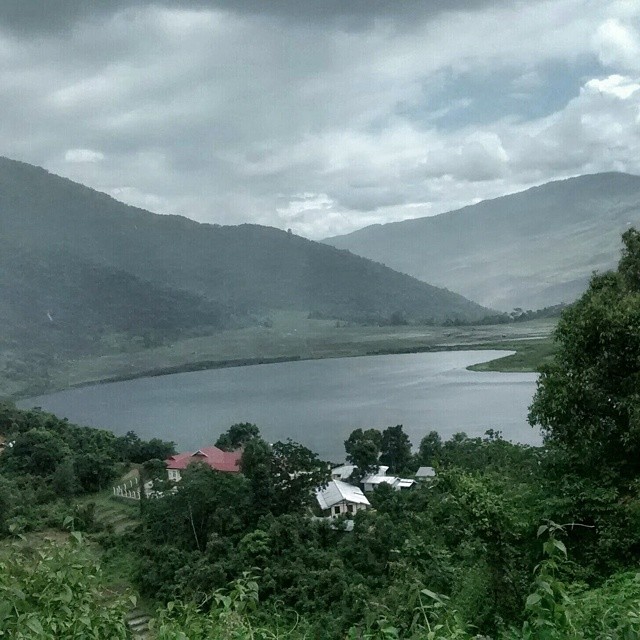
Rih Dil , the heart shaped sacred lake for the Mizos who like to claim that it is the largest lake in Mizoram but geographically it lies in #Myanmar #travelpics
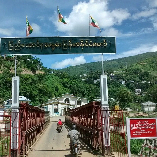
Finally in #Myanmar..third time in three years ,crossing overland from three different Indian states..not a bad record I suppose :-) #travelpics #Myanmar

Yes .missing my Dosa while having noodles :-) #travelpics #mizoram
Topographic Map of Rih Dil, Myanmar (Burma)
Find elevation by address:

Places near Rih Dil, Myanmar (Burma):
Recent Searches:
- Elevation of Côte-des-Neiges, Montreal, QC H4A 3J6, Canada
- Elevation of Bobcat Dr, Helena, MT, USA
- Elevation of Zu den Ihlowbergen, Althüttendorf, Germany
- Elevation of Badaber, Peshawar, Khyber Pakhtunkhwa, Pakistan
- Elevation of SE Heron Loop, Lincoln City, OR, USA
- Elevation of Slanický ostrov, 01 Námestovo, Slovakia
- Elevation of Spaceport America, Co Rd A, Truth or Consequences, NM, USA
- Elevation of Warwick, RI, USA
- Elevation of Fern Rd, Whitmore, CA, USA
- Elevation of 62 Abbey St, Marshfield, MA, USA