Elevation of Ridgeline Dr, Trinidad, CO, USA
Location: United States > Colorado > Las Animas County > Trinidad >
Longitude: -104.66027
Latitude: 37.3350363
Elevation: 2063m / 6768feet
Barometric Pressure: 79KPa
Elevation Map:
Satellite Map:
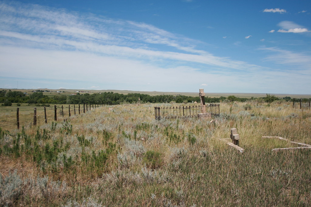
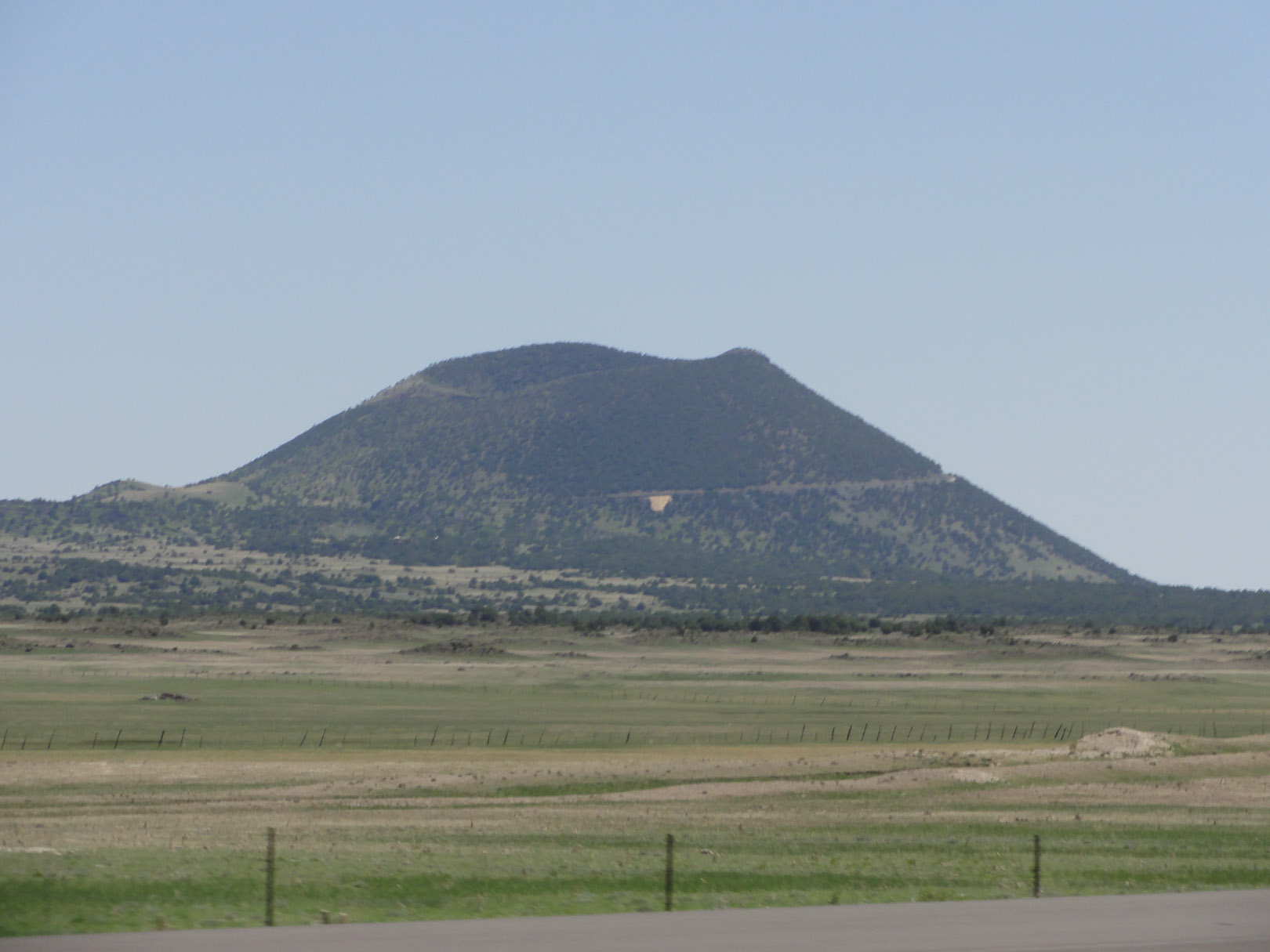
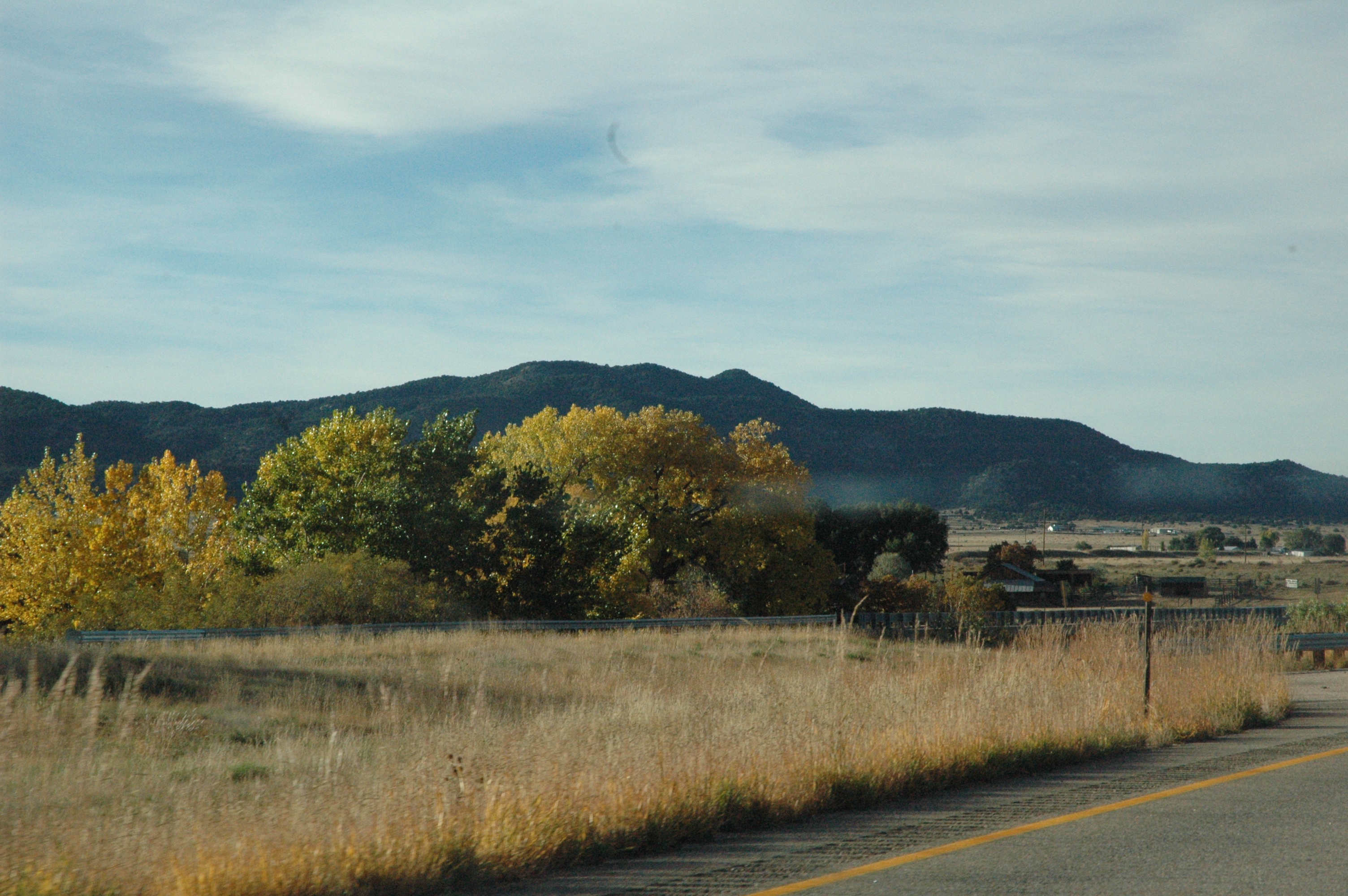
Related Photos:
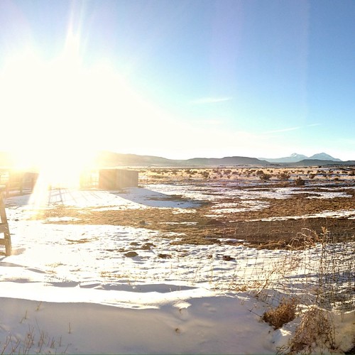
The sun is headed behind the...
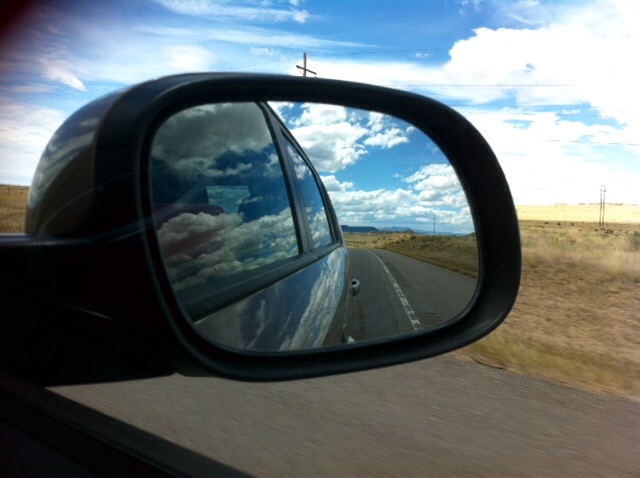
Mountains in the rear view.

A view that never gets old...
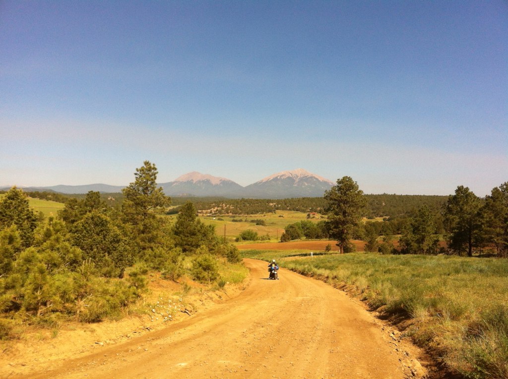
trans am trail CO
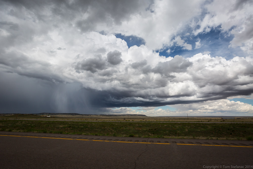
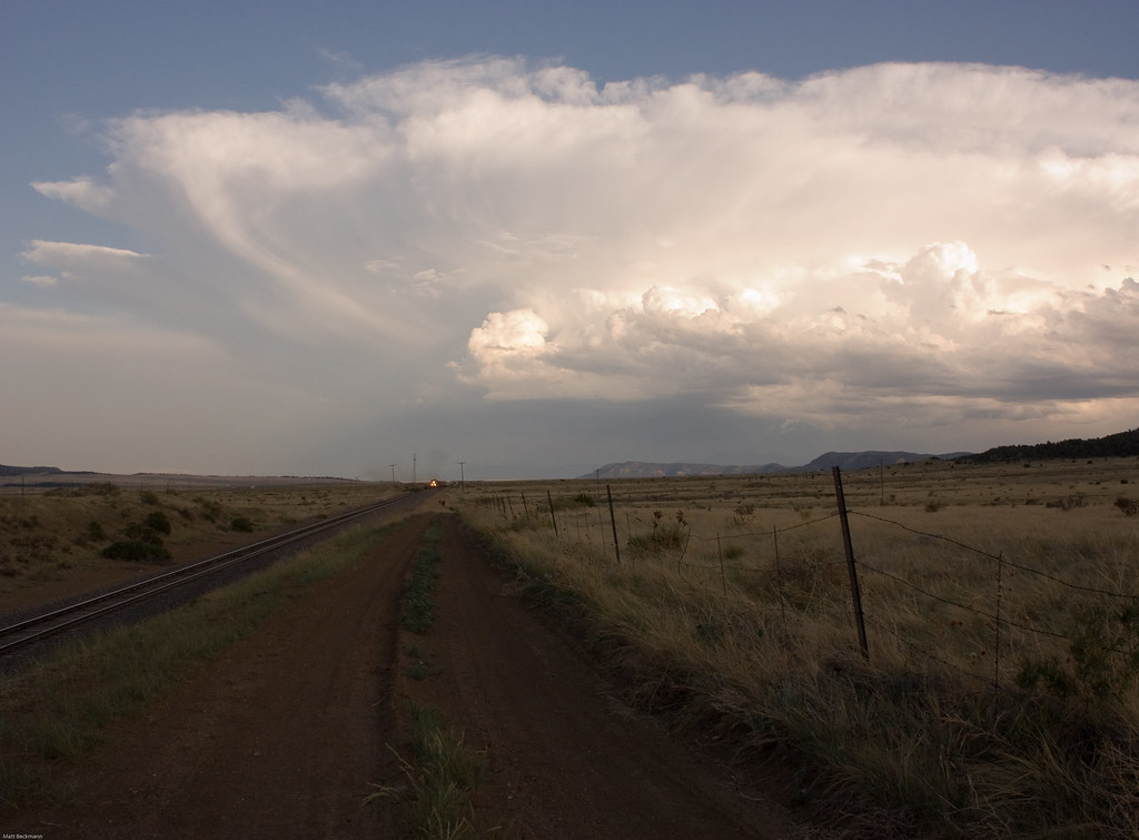
Clouds and Rain
IMG_1070-adj
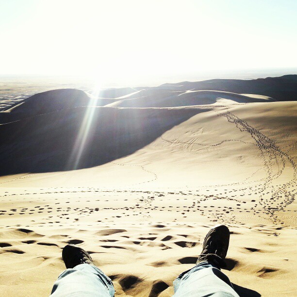
What a climb.
Spanish peaks with a fresh dusting of snow. #cowx #mountains #colorado #photooftheday #weatherchannel #weatherlive #travelgram #travel #traveling #photographyislifee

Interstate 25 in southern Colorado
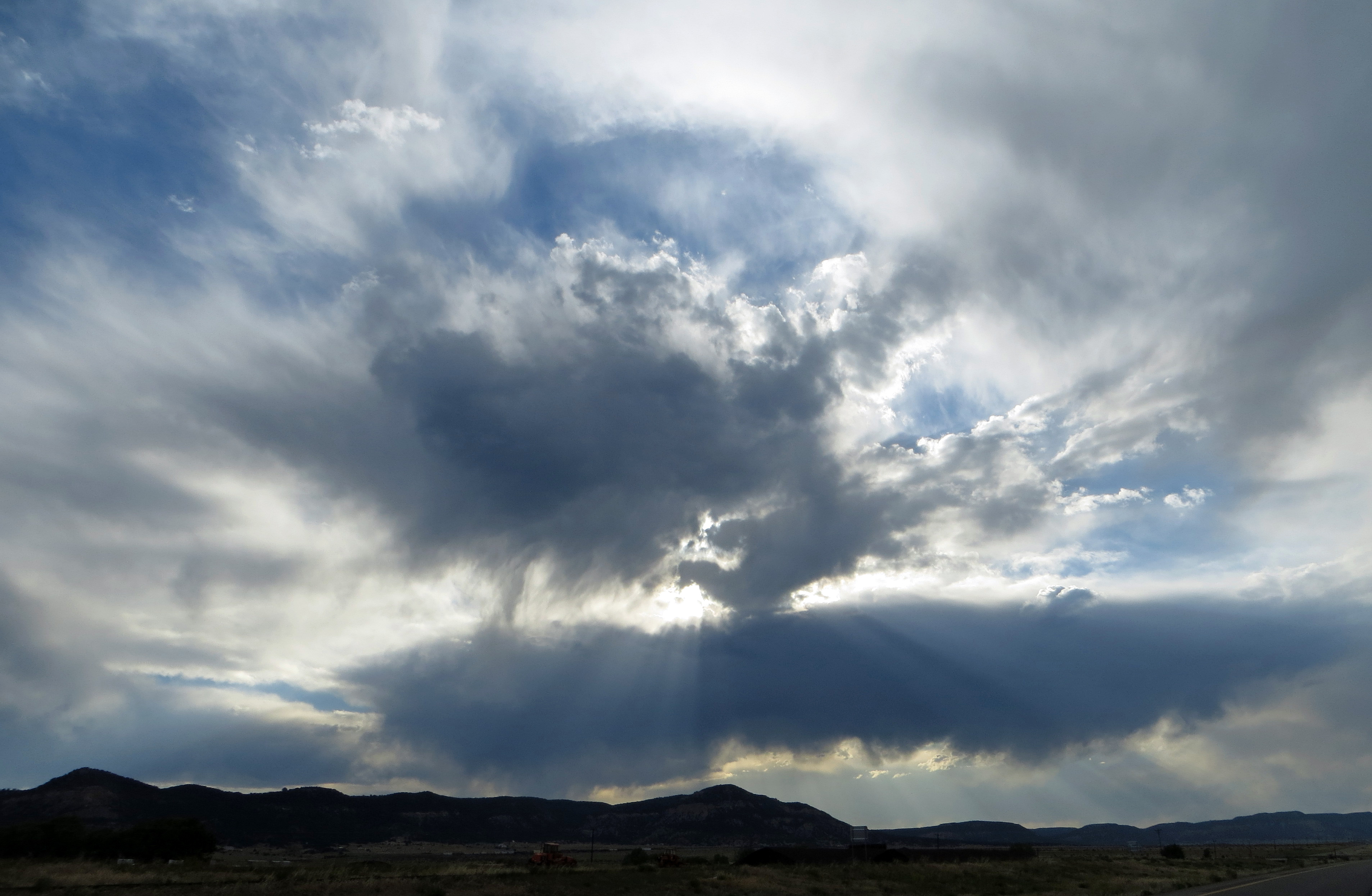
Western Clouds
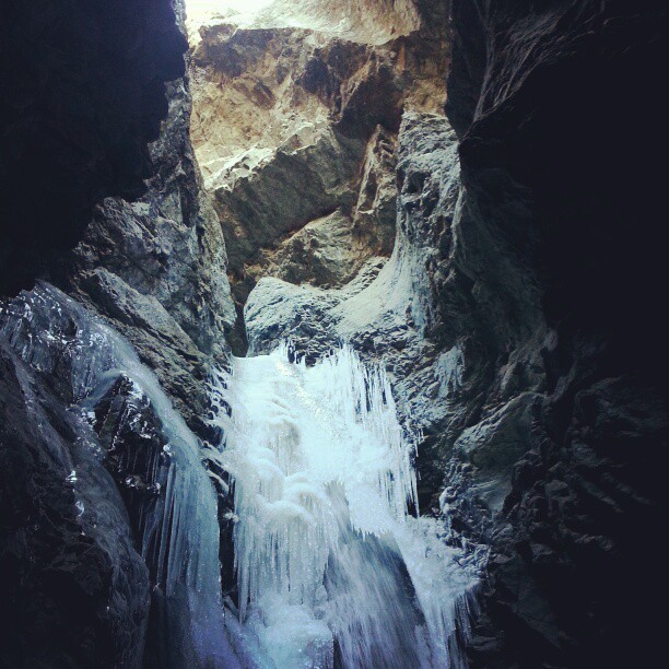
Zapata Falls (frozen). Alamosa, CO.
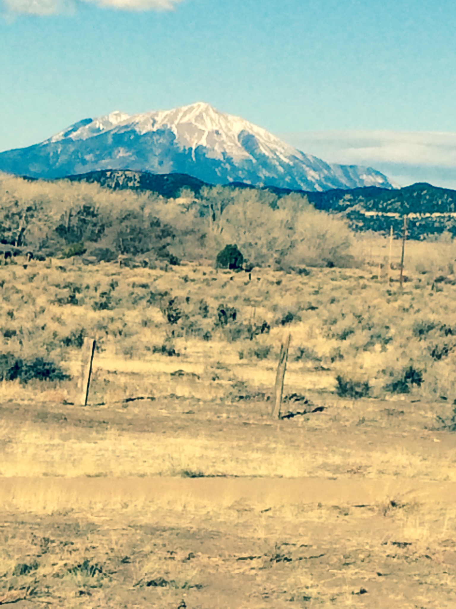
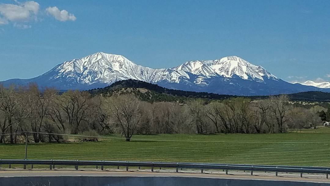
Spanish Peaks, Colorado
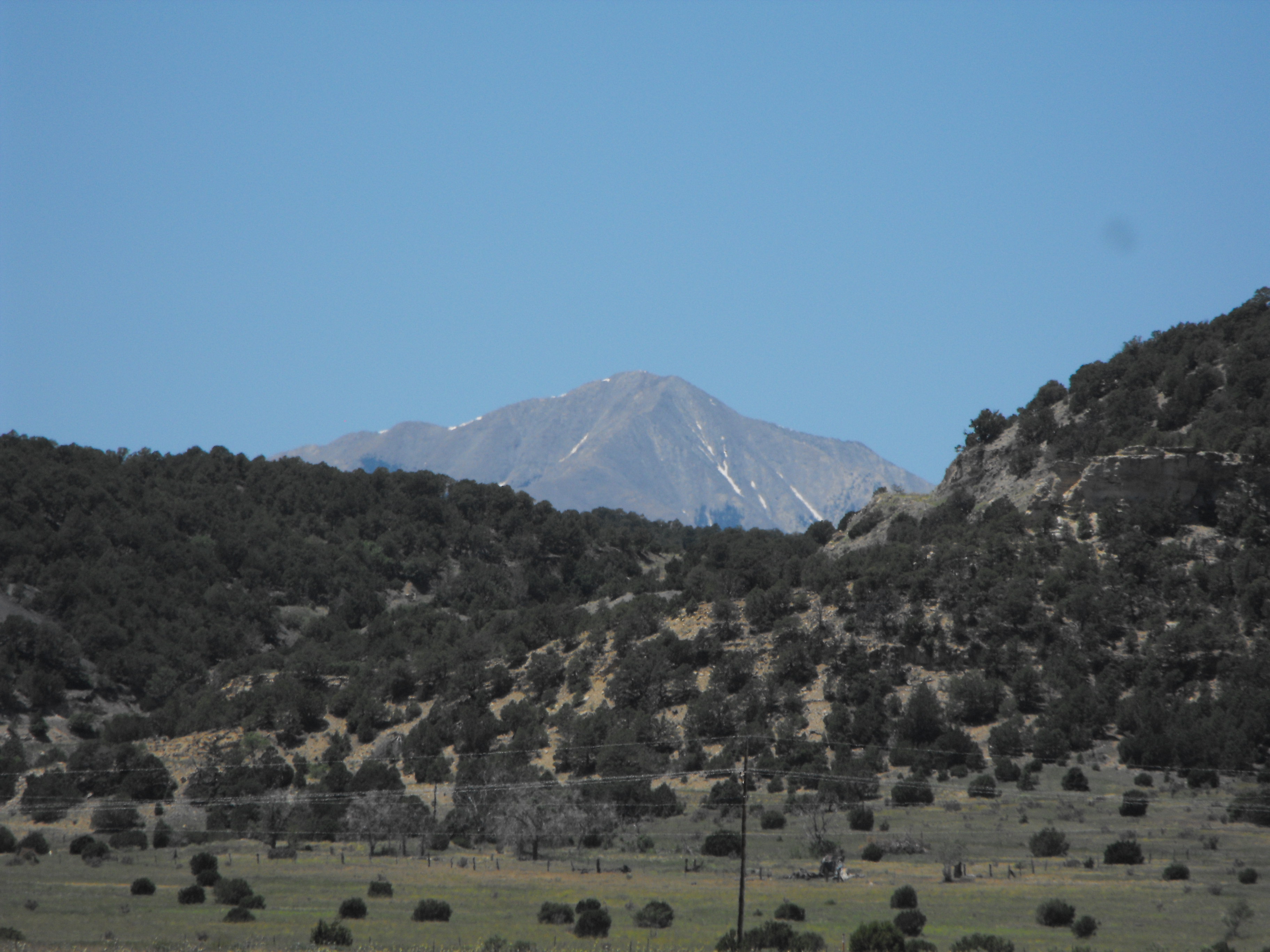
The Rockies from Aguilar, CO
2007-06-10 Misc Colorado 3 of 3
Southern Colorado
DSC03672.jpg

Slow Destruction
Interstate 25 in southern Colorado
Topographic Map of Ridgeline Dr, Trinidad, CO, USA
Find elevation by address:

Places near Ridgeline Dr, Trinidad, CO, USA:
Ridgeline Drive
25520 Ridgeline Dr
25453 Overlook Dr
17890 Co Rd 51
17890 Co Rd 51
24251 Wildcat Rd
26350 County Rd 43.7
County Road 43.7
20401 County Rd 40.2
20401 County Rd 40.2
24215 Trujillo Creek Rd
County Rd 56.3, Aguilar, CO, USA
Aguilar
24215 Trujillo Creek Ranch Rd
20560 Timber Ln
Lynn
20722 Tollerburg Rd
31300 Timber Canyon Rd
32017 Big View Dr
20610 Old Wagon Trail Rd
Recent Searches:
- Elevation of Homestead Ridge, New Braunfels, TX, USA
- Elevation of Orchard Road, Orchard Rd, Marlborough, NY, USA
- Elevation of 12 Hutchinson Woods Dr, Fletcher, NC, USA
- Elevation of Holloway Ave, San Francisco, CA, USA
- Elevation of Norfolk, NY, USA
- Elevation of - San Marcos Pass Rd, Santa Barbara, CA, USA
- Elevation of th Pl SE, Issaquah, WA, USA
- Elevation of 82- D Rd, Captain Cook, HI, USA
- Elevation of Harlow CM20 2PR, UK
- Elevation of Shenyang Agricultural University, Dong Ling Lu, Shen He Qu, Shen Yang Shi, Liao Ning Sheng, China