Elevation of Ridge Trail Rd, Keystone Heights, FL, USA
Location: United States > Florida > Clay County > Keystone Heights >
Longitude: -81.89749
Latitude: 29.814395
Elevation: 37m / 121feet
Barometric Pressure: 101KPa
Elevation Map:
Satellite Map:
Related Photos:
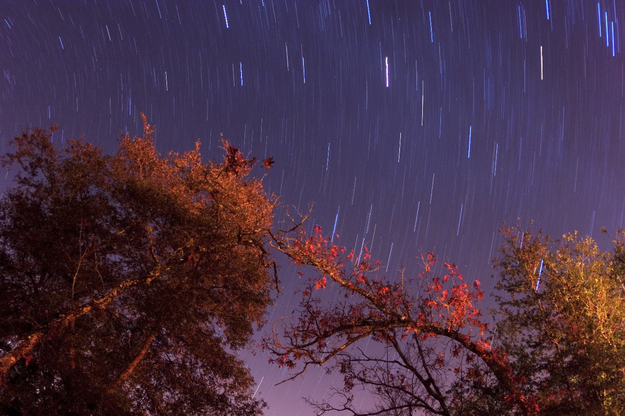
Star Trails - Gold Head Branch State Park
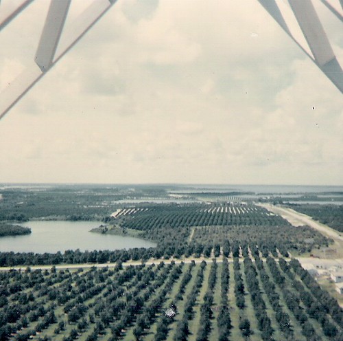
From top of fire tower-June 1966
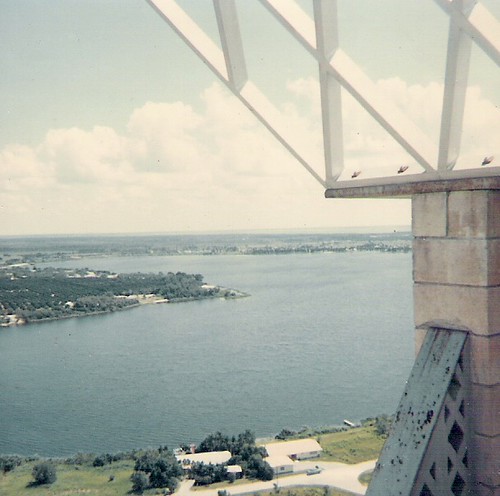
Lake Brooklyn from atop fire tower

House Wren (Troglodytes aedon)
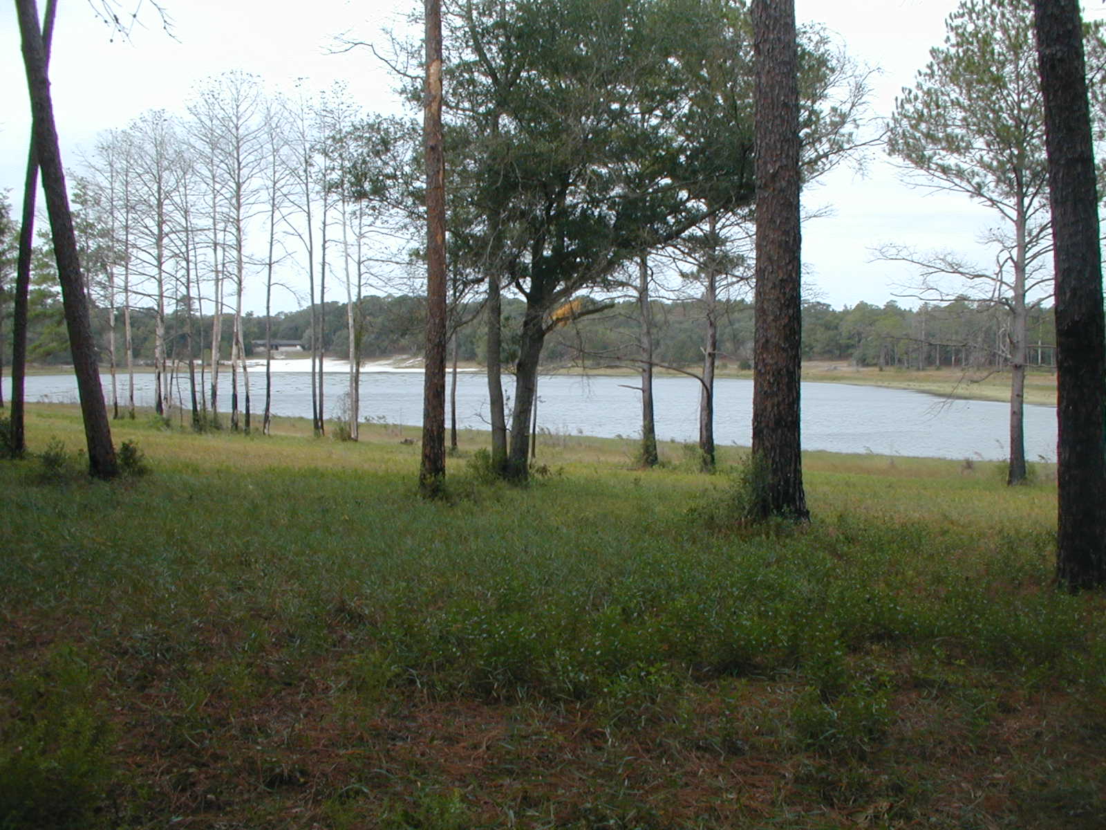
View from the Cabin

Brown Thrasher (Toxostoma rufum)

Grandpa's toy room

Spanish moss in the oaks

Spanish moss in the oaks

IMG_2233.JPG
0745 on the Florida Trail

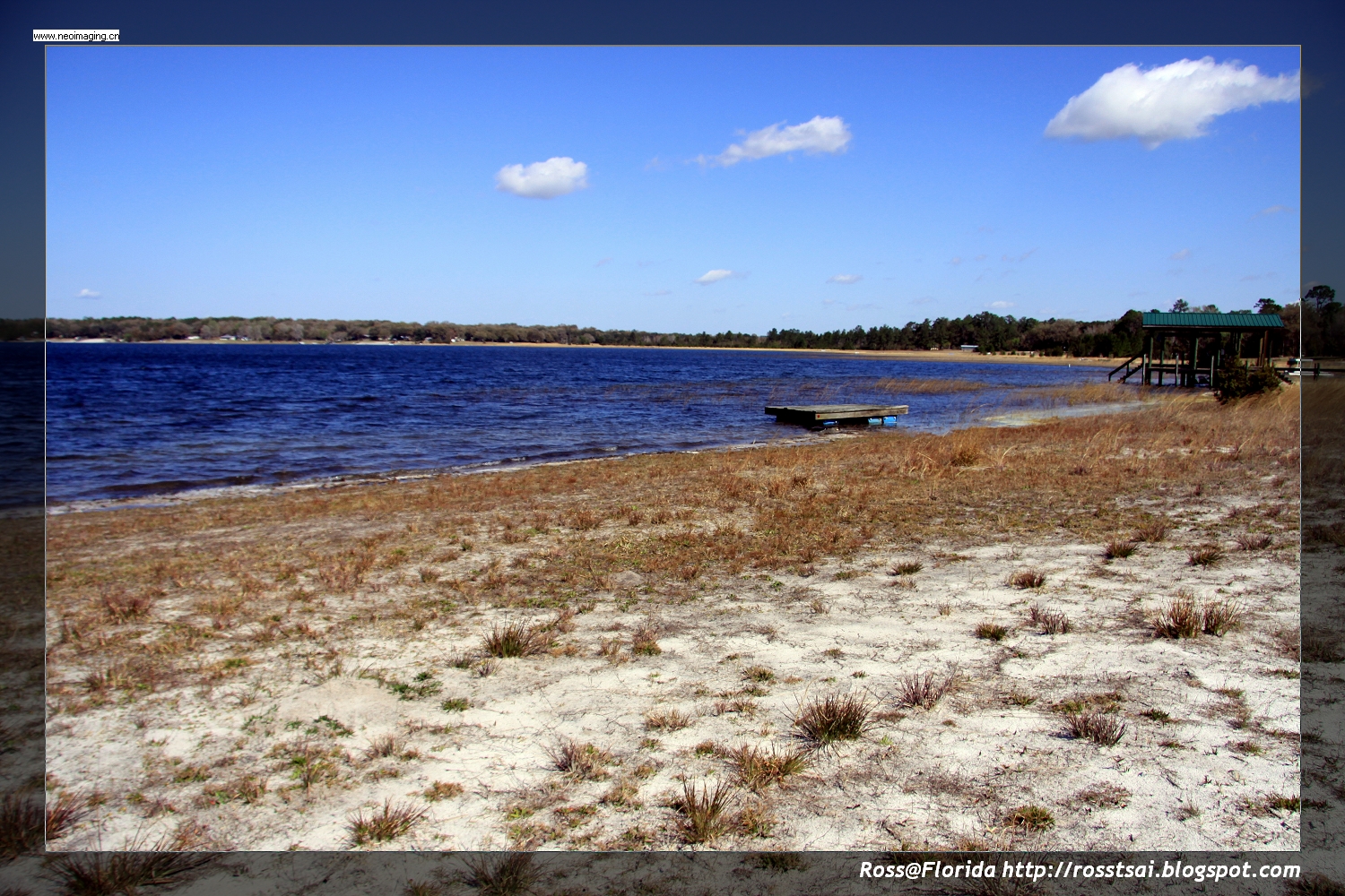
Little Lake Johnson, once part of Big Lake Johnson, Mike Roess Goldhead Branch State Park, Putnam County, Florida 1
IMG_2189.JPG
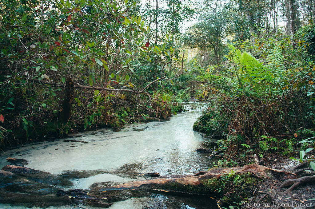
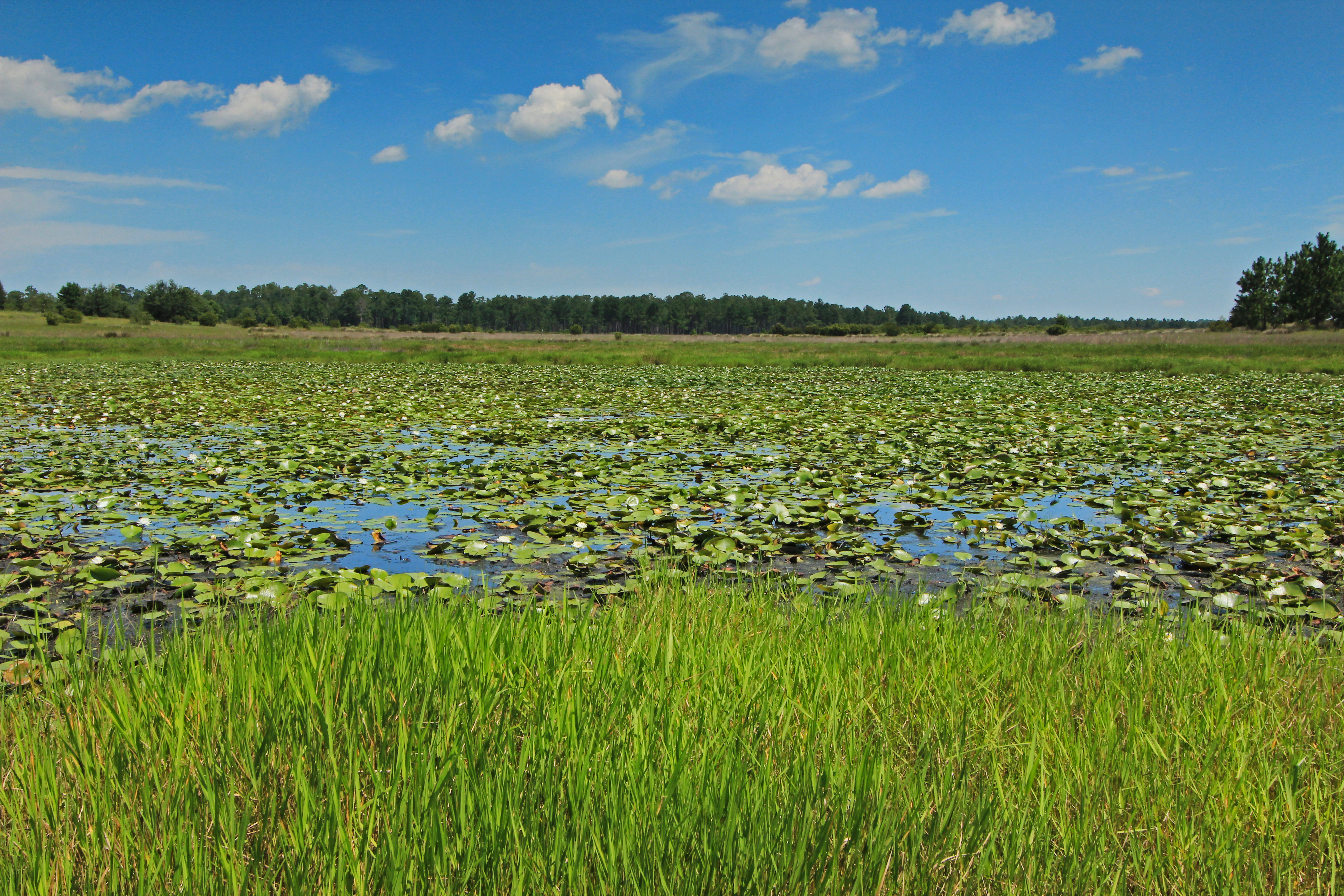
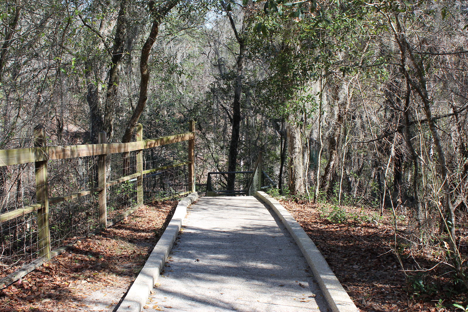
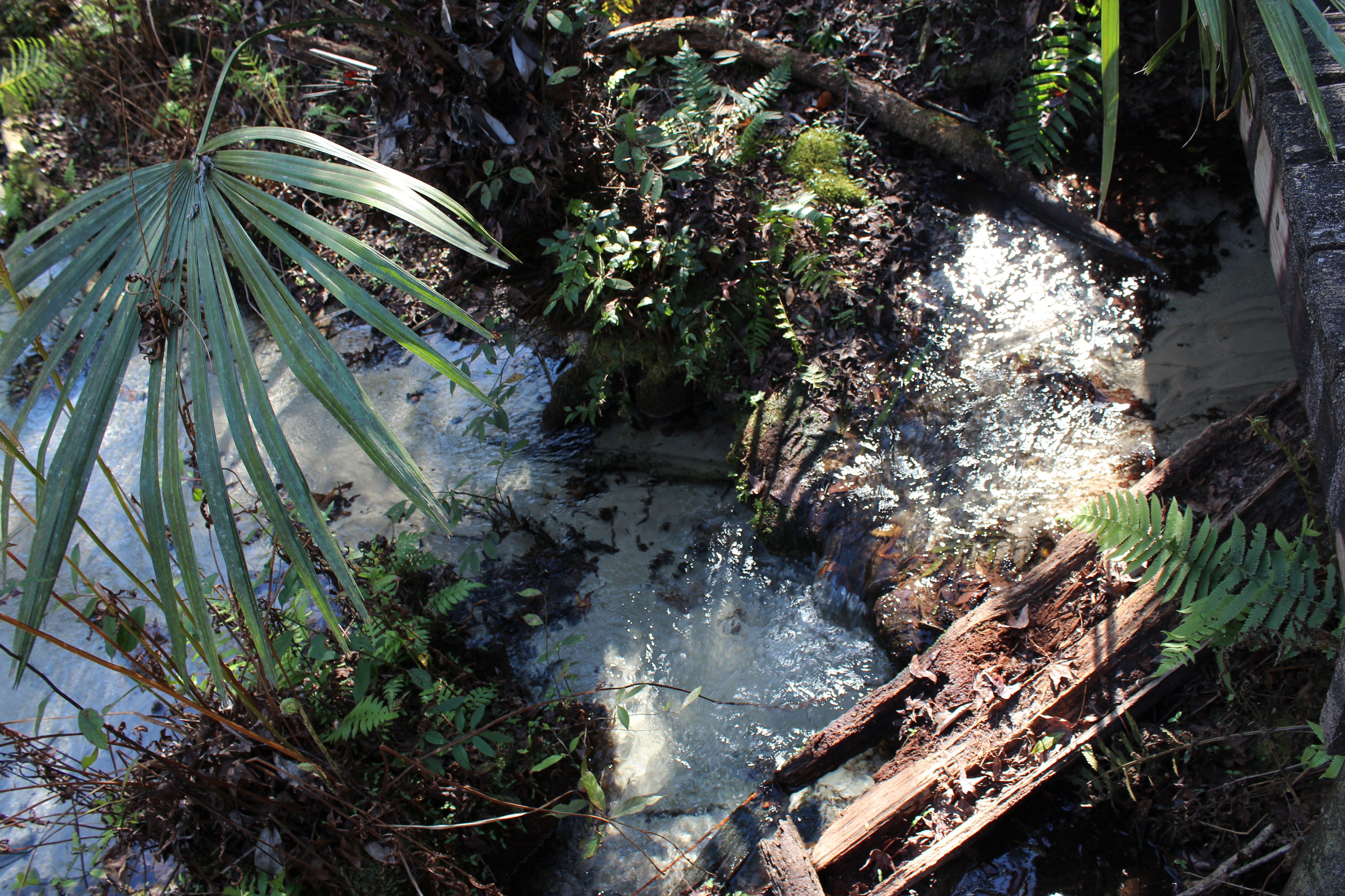
Gold Head Branch
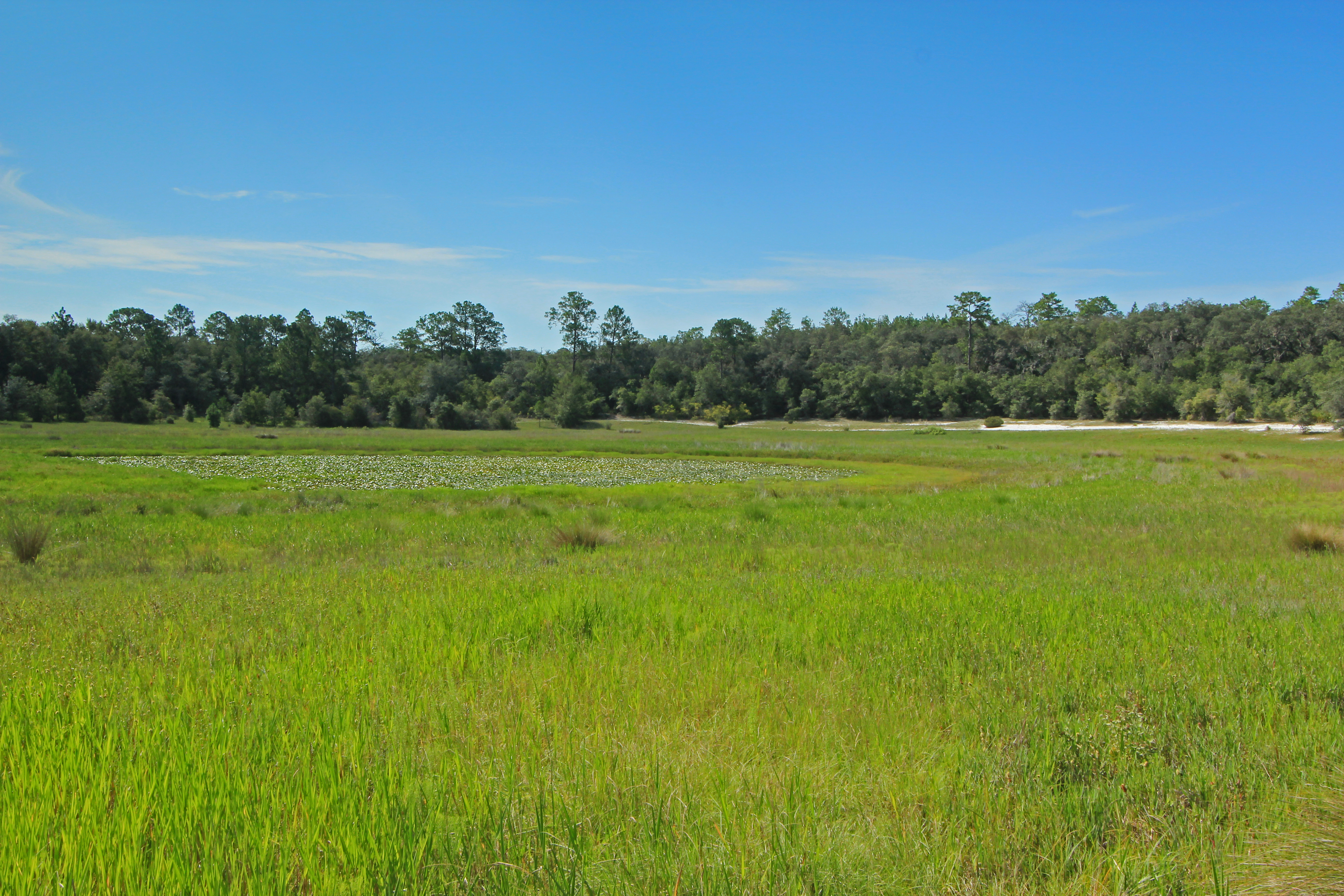
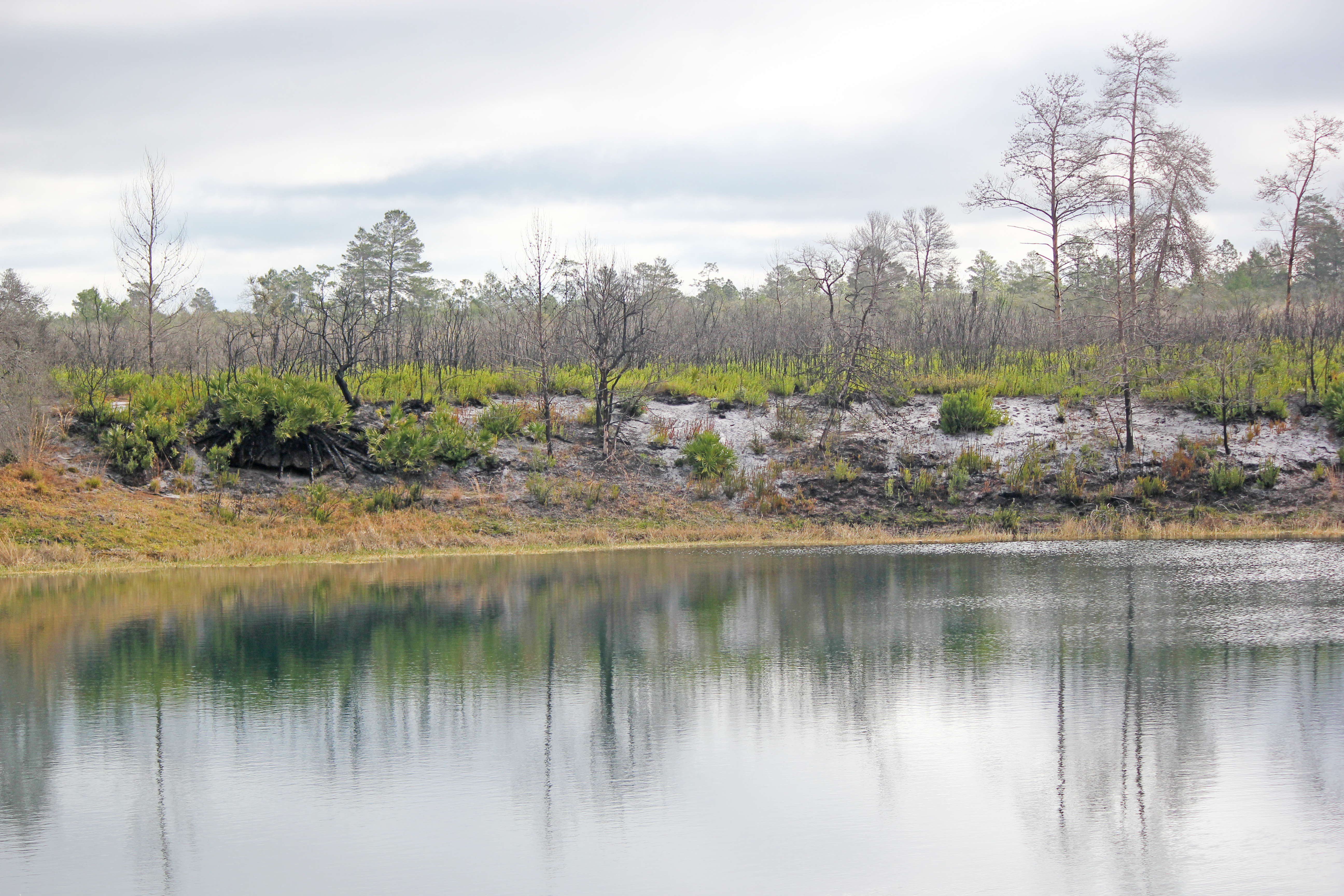
Depression Marsh, once part of Big Lake Johnson, Mike Roess Goldhead Branch State Park, Putnam County, Florida 1

Etoniah Creek State Forest

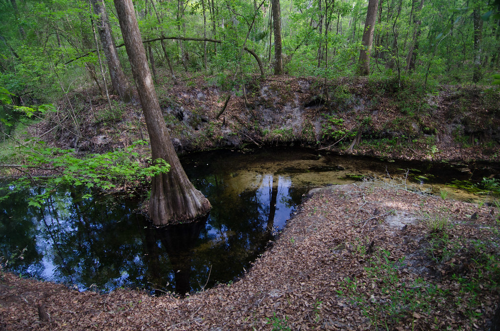
Deer Pond
IMG_2222.JPG
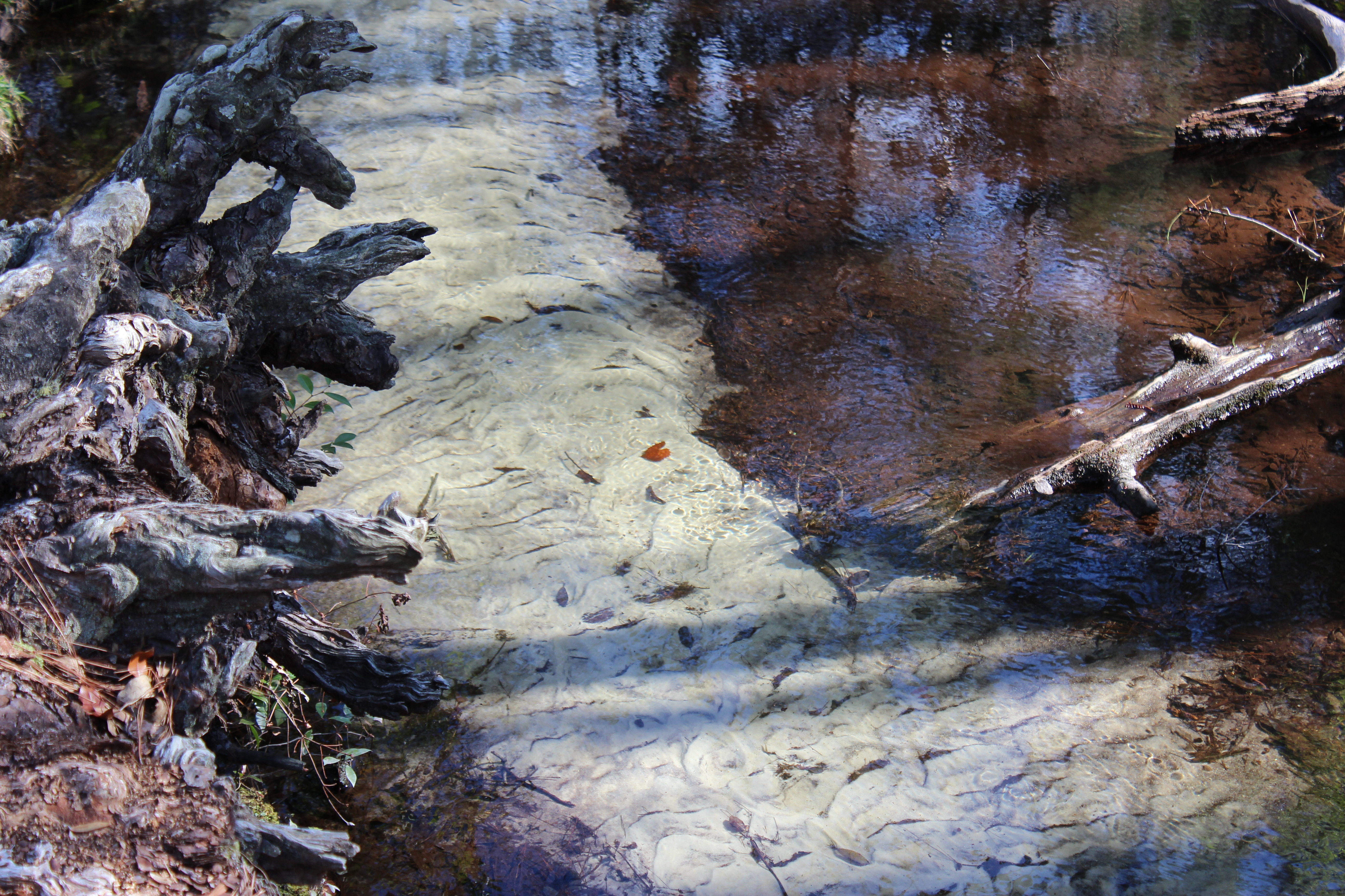
Devil's Washbasin
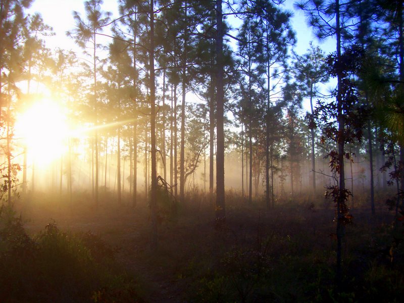
Etoniah Creek State Forest

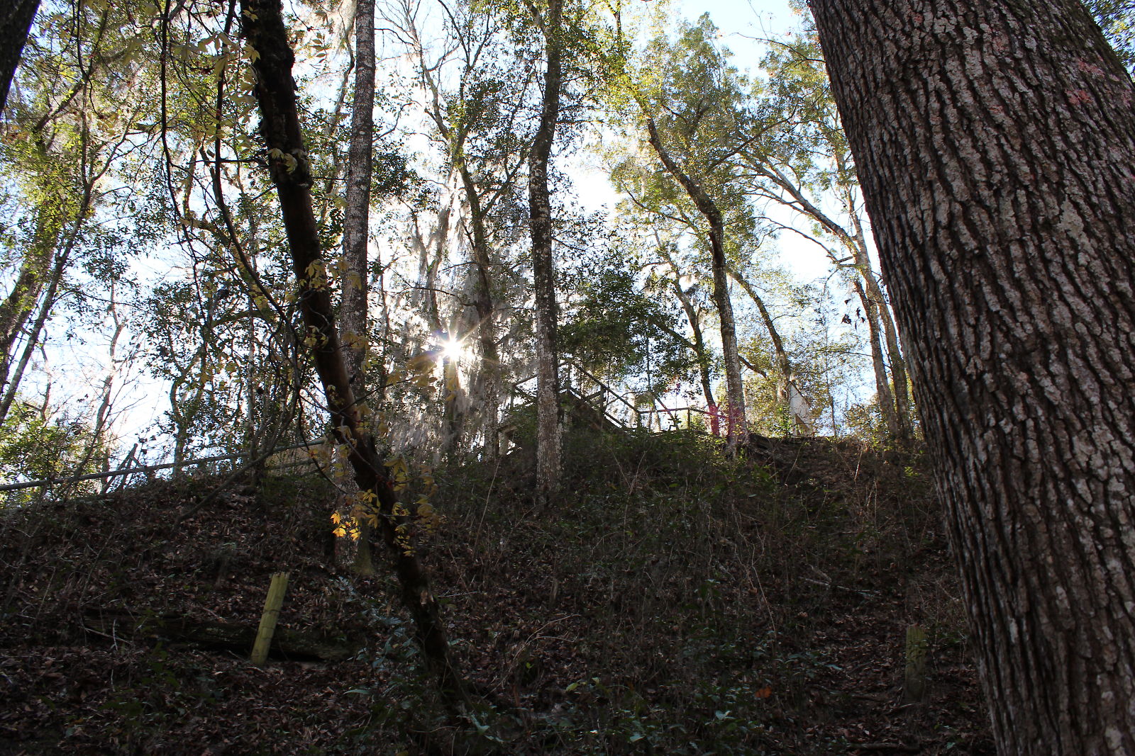
Etoniah Creek State Forest
Depression Marsh, once part of Big Lake Johnson, Mike Roess Goldhead Branch State Park, Putnam County, Florida 3
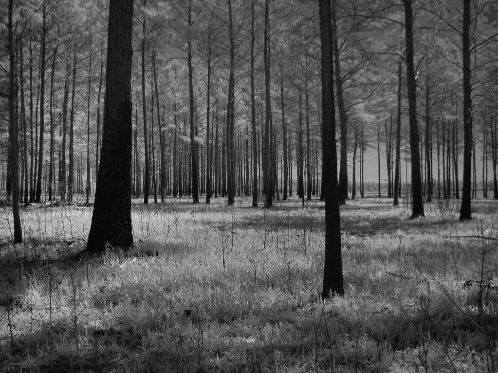
For the Trees

Black Creek, Camp Blanding
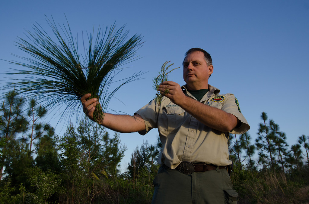
Etoniah Creek State Forest
IMG_2154.JPG
20100313_Melrose@FL_Swan Lake House_014_nEO
IMG_2172.JPG
Topographic Map of Ridge Trail Rd, Keystone Heights, FL, USA
Find elevation by address:

Places near Ridge Trail Rd, Keystone Heights, FL, USA:
4710 M Lake Rd
5504 Campo Dr
5675 Indian Trail
Indian Trail
5486 Indian Trail
Lisa Lynn Lane
5826 Lisa Lynn Ln
101 David Ln
4343 Lori Loop Rd
Duval St, Florahome, FL, USA
4453 Bondarenko Rd
154 St Lucie St
531 Hillsborough Ave
6035 Blueberry Hill Rd
127 Pocahontas Rd
139 E Dogwood Rd
Florahome
168 Buck Springs Rd
124 Knight Dr
112 Meadow Rd
Recent Searches:
- Elevation of Lampiasi St, Sarasota, FL, USA
- Elevation of Elwyn Dr, Roanoke Rapids, NC, USA
- Elevation of Congressional Dr, Stevensville, MD, USA
- Elevation of Bellview Rd, McLean, VA, USA
- Elevation of Stage Island Rd, Chatham, MA, USA
- Elevation of Shibuya Scramble Crossing, 21 Udagawacho, Shibuya City, Tokyo -, Japan
- Elevation of Jadagoniai, Kaunas District Municipality, Lithuania
- Elevation of Pagonija rock, Kranto 7-oji g. 8"N, Kaunas, Lithuania
- Elevation of Co Rd 87, Jamestown, CO, USA
- Elevation of Tenjo, Cundinamarca, Colombia