Elevation of Ridge Rd, Worthington, MA, USA
Location: United States > Massachusetts > Hampshire County > Worthington >
Longitude: -72.949693
Latitude: 42.4165956
Elevation: 516m / 1693feet
Barometric Pressure: 95KPa
Elevation Map:
Satellite Map:
Related Photos:
Farm Road
Aerial View
Foliage point on Great River Ride (this time with sheep!)
Elevated View

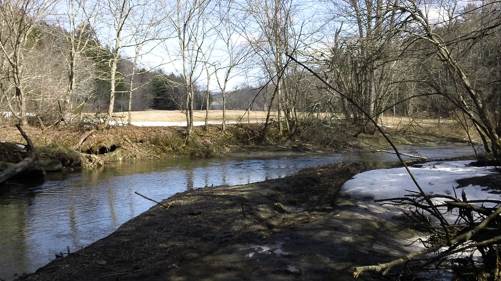
Westfield River - West Branch
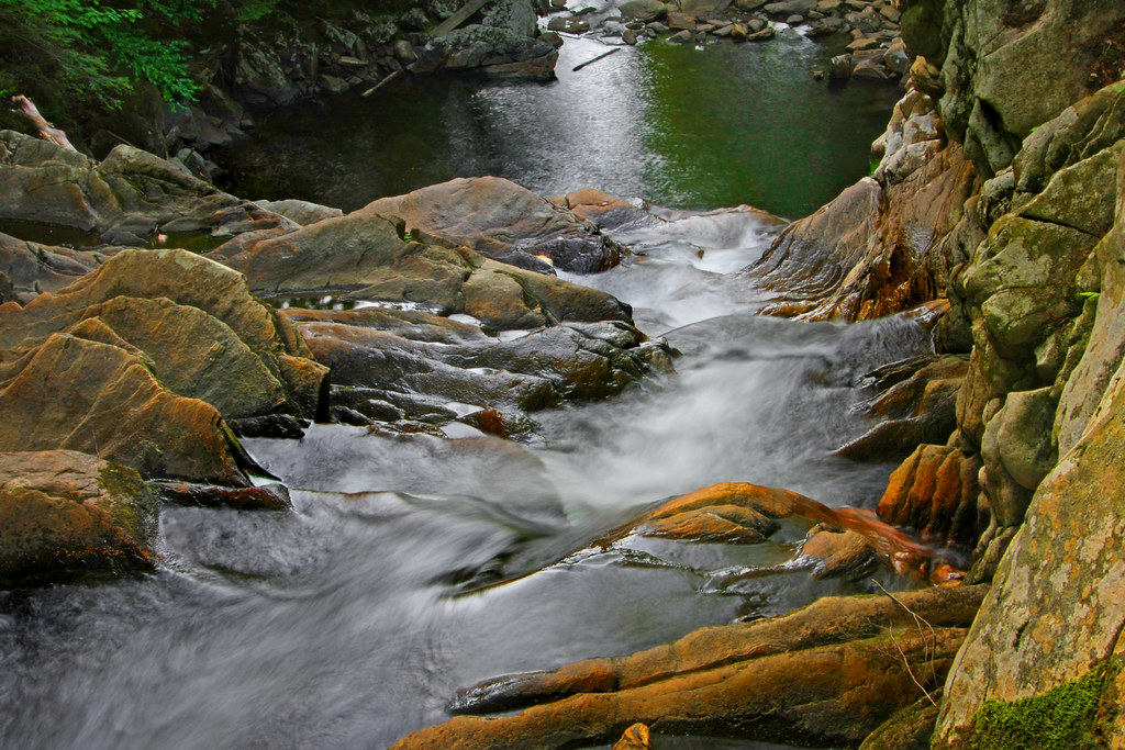
Not Just A Trickle

Nature's Lines and Curves
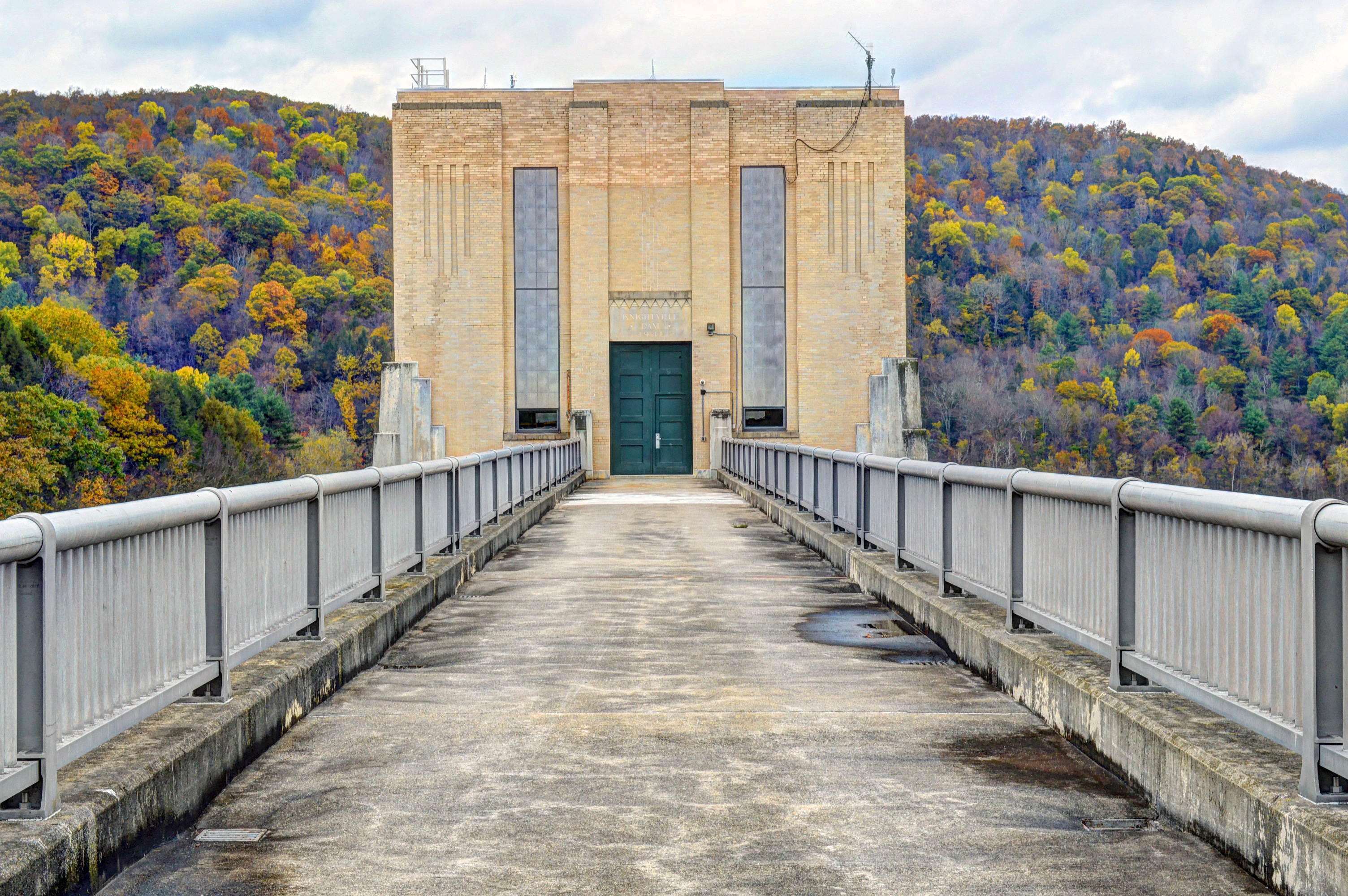
Knightville Dam
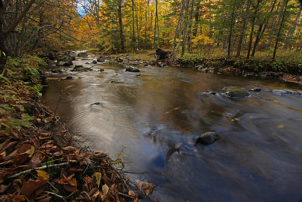
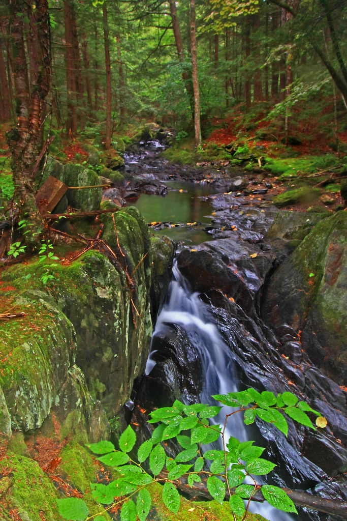
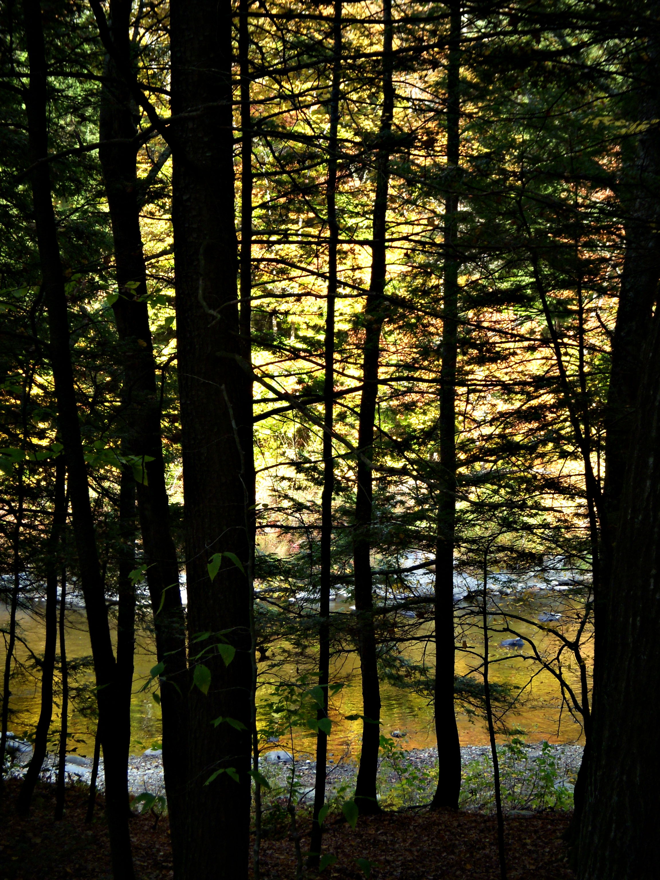
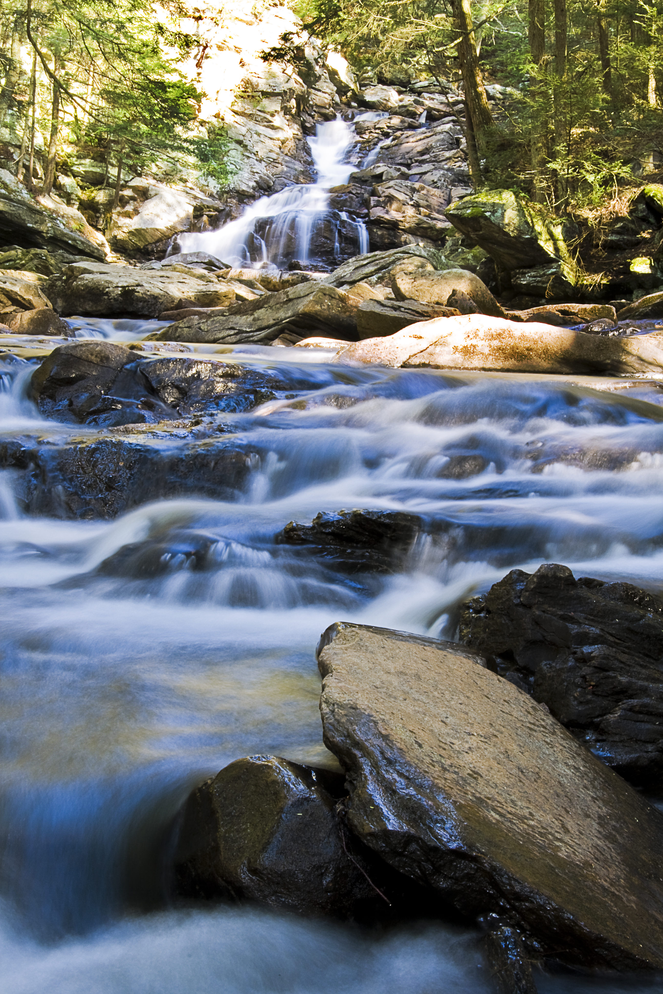
The Soothing Flow of a Woodland Stream
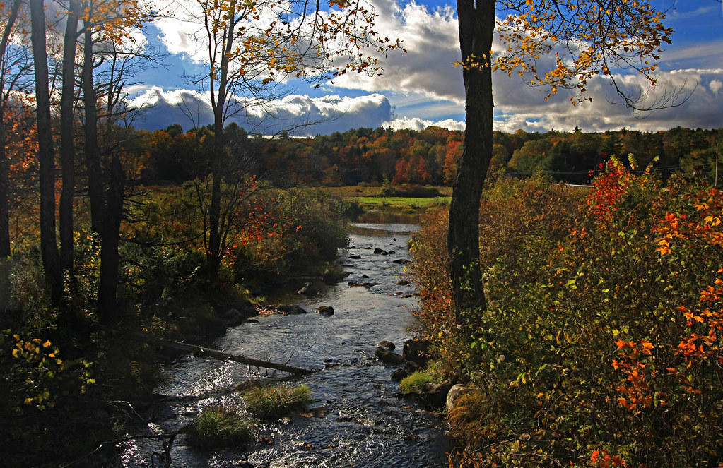
A Brook in Fall
On the Way to the Emerald Pool
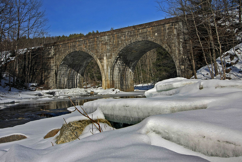
Double Arch
Porch View

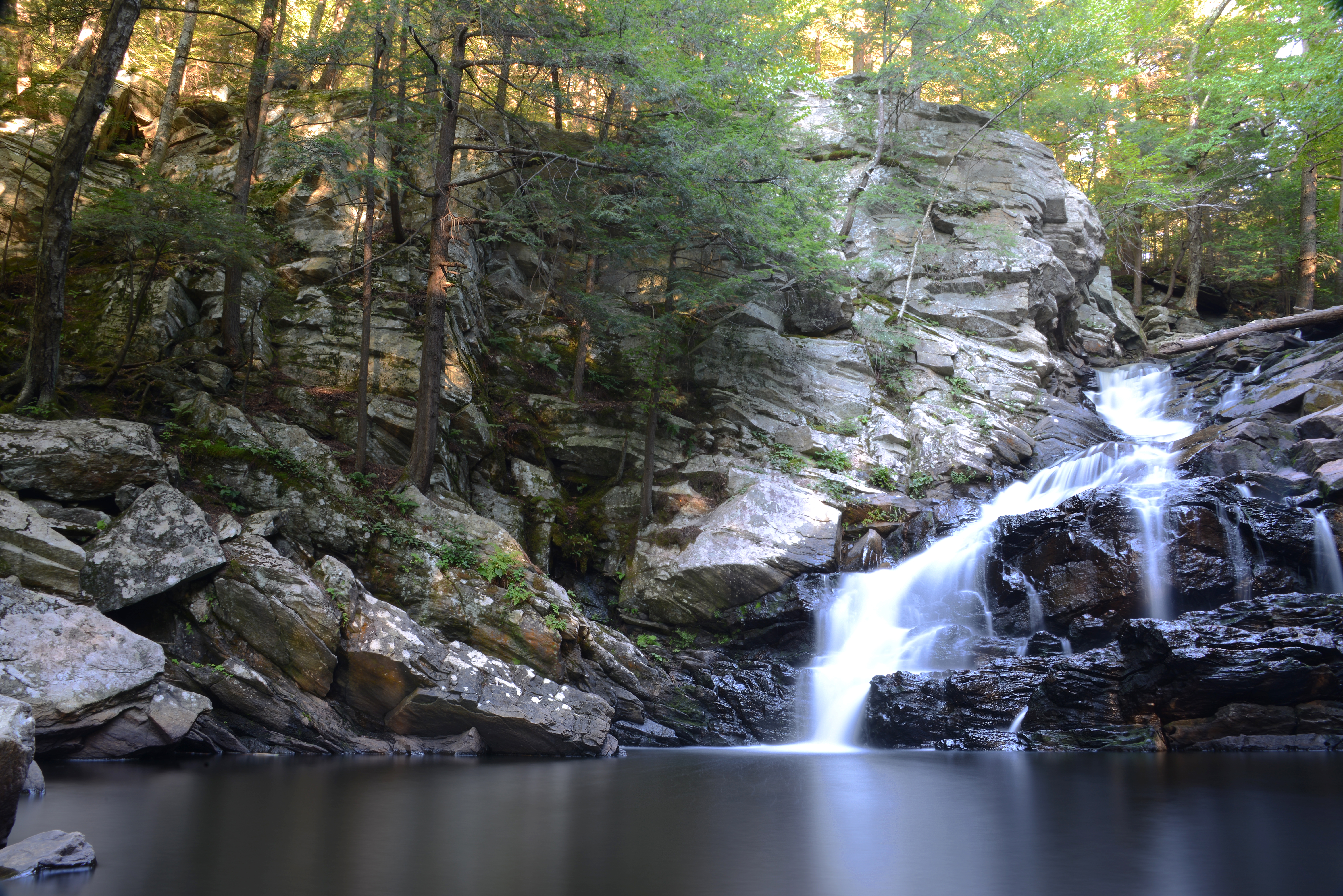
Chesterfield Gorge
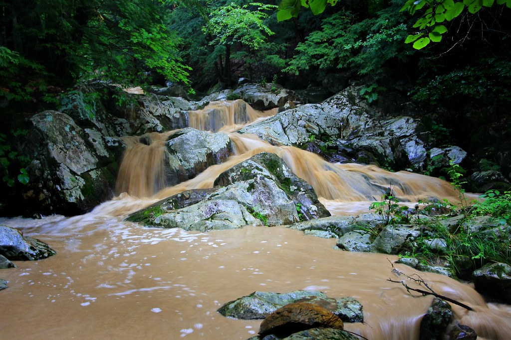
Chocolate Milk, Anyone?
Sandhill Crane
Clark Hill in Worthington, Massachusetts
Top of the Falls

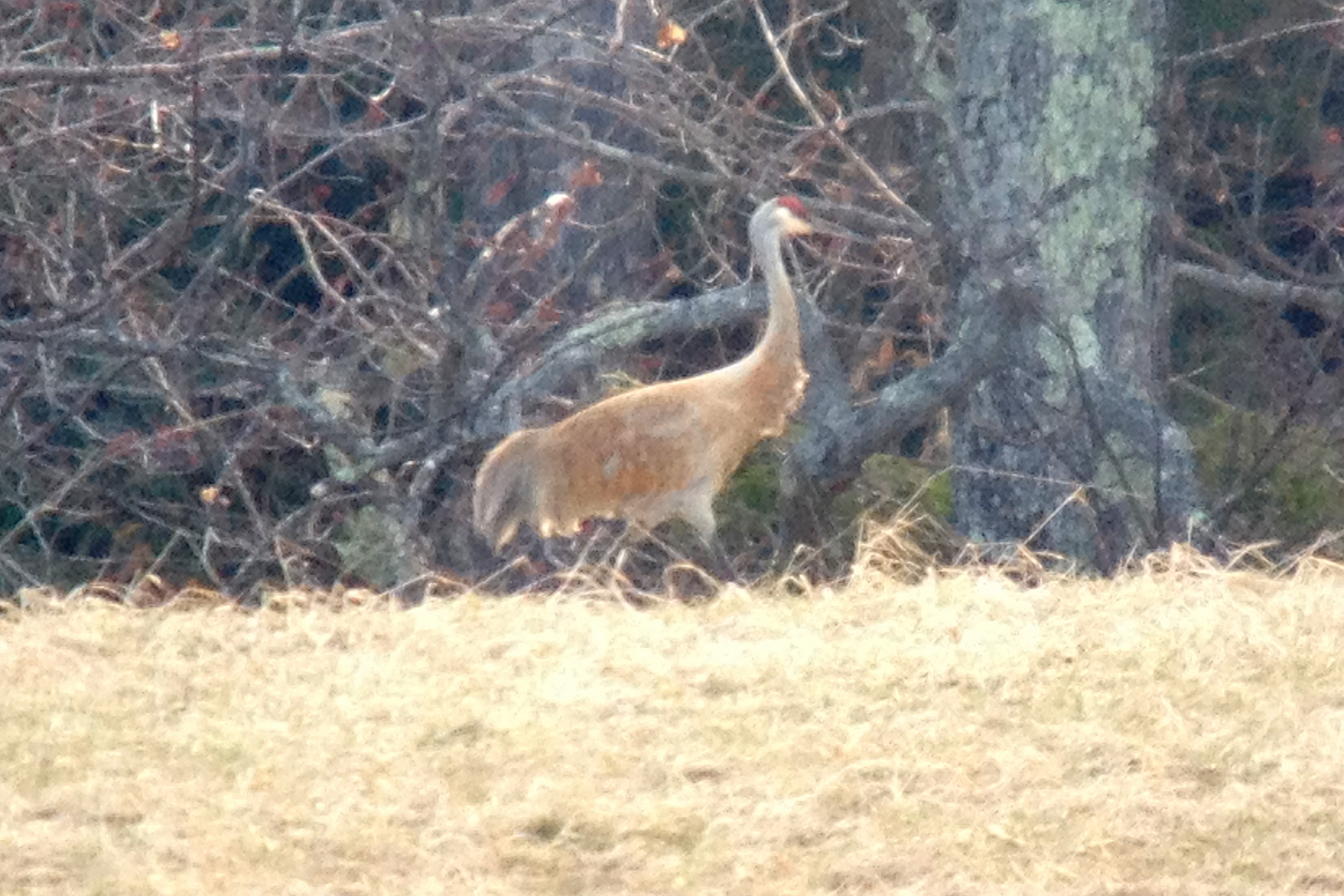
Sandhill Crane
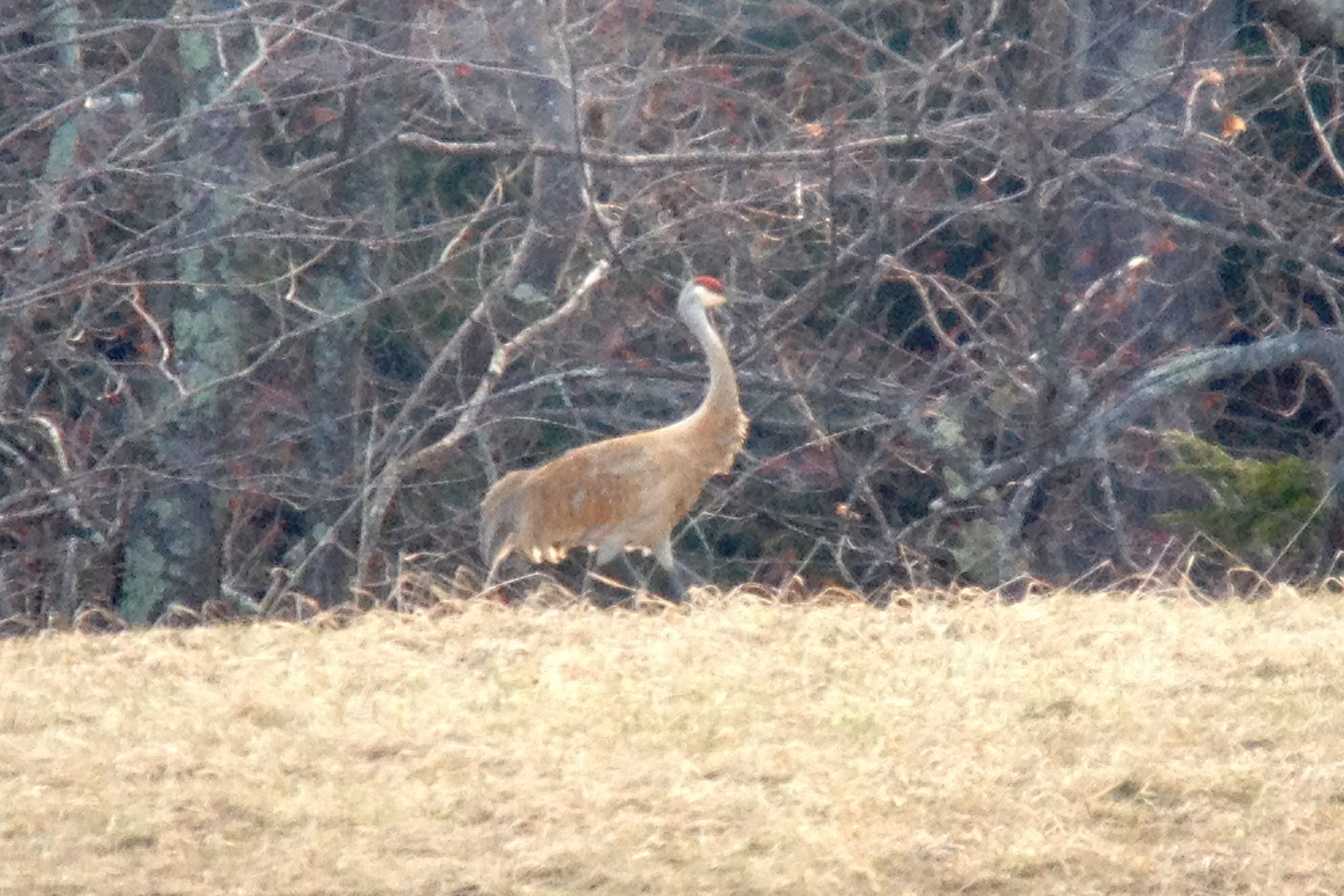
Sandhill Crane
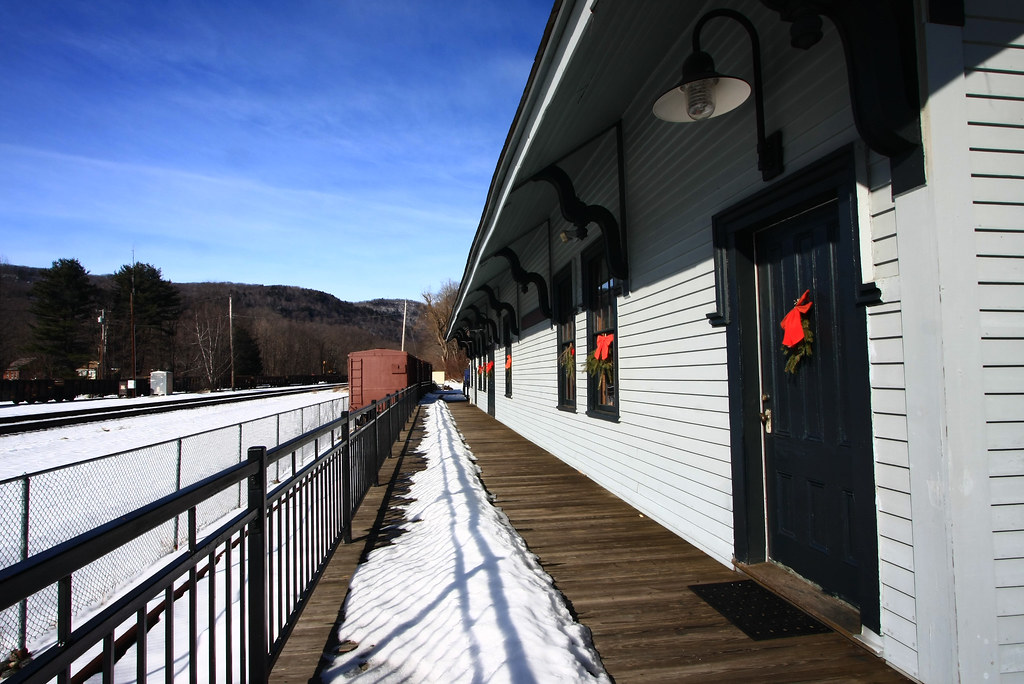
Chester Railway Station

Frozen Solid at Wahconah Falls
Waconah Falls, Massachusetts
Waiting for the Fairies
Chesterfield Gorge

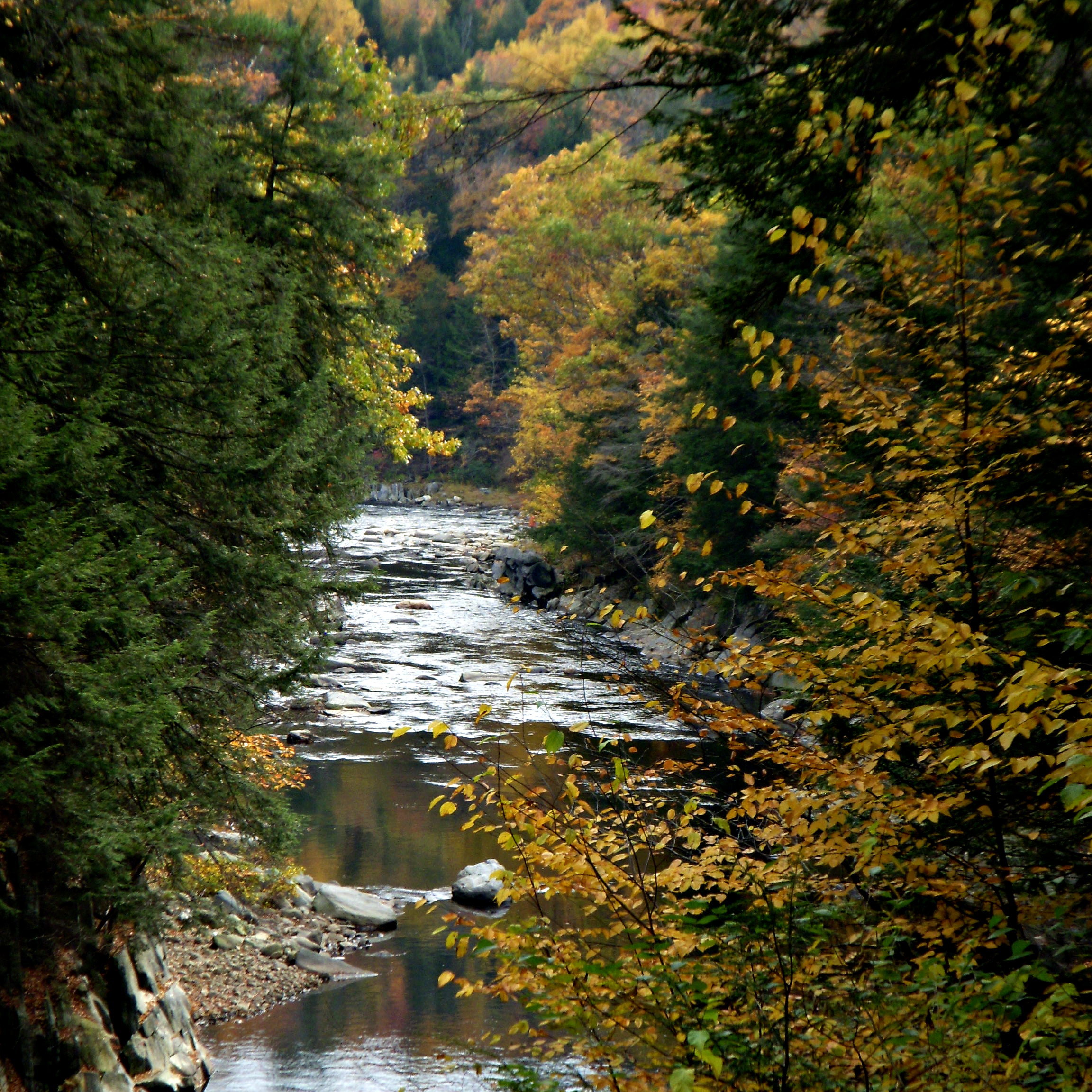
Colored River
Light and Dark
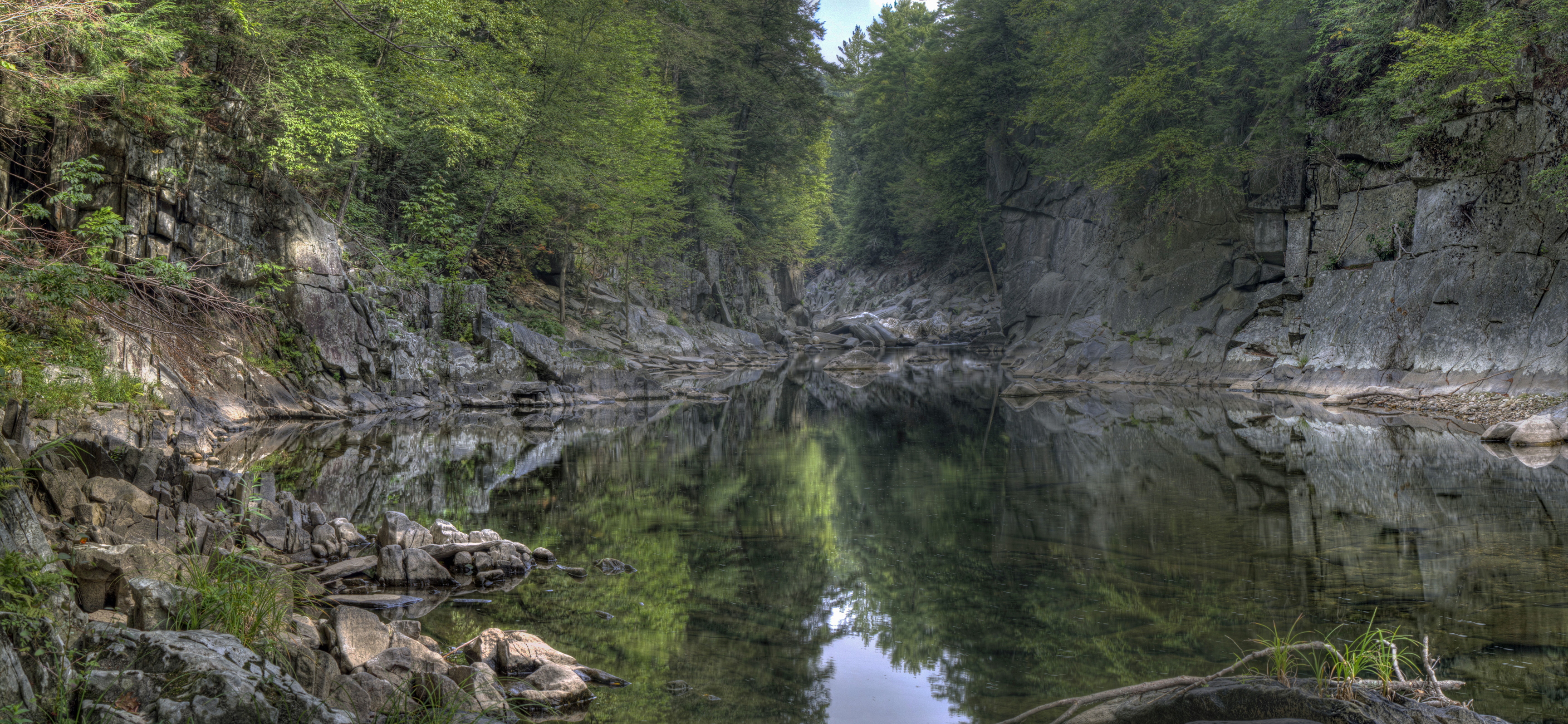
Chesterfield Gorge
Glendale Falls 2
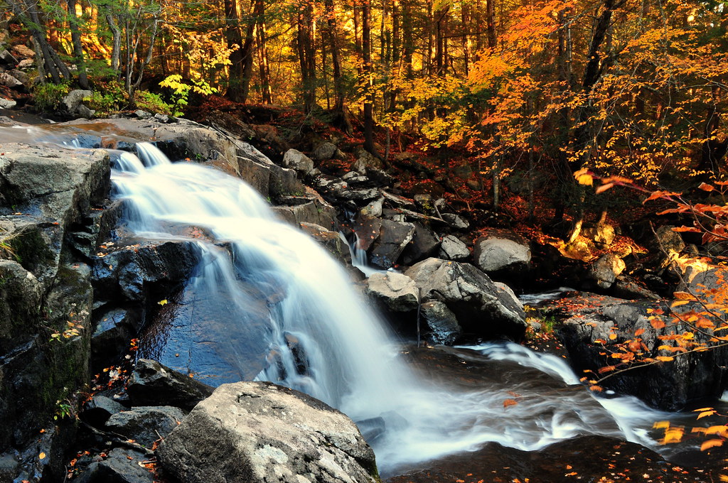
Autumn Falls
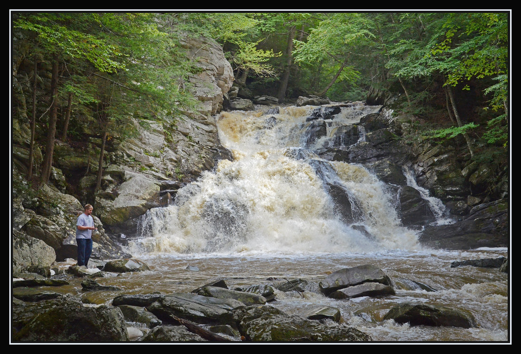
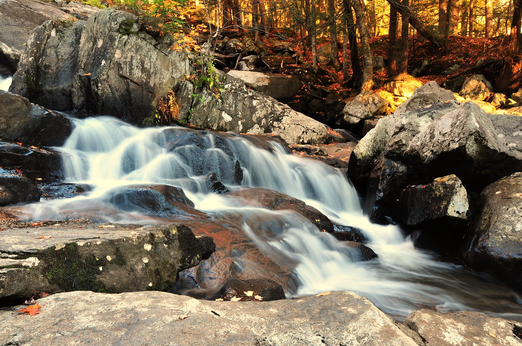
The Falls Runneth Over
30. KB5 ENDS sandy beach. after field
Topographic Map of Ridge Rd, Worthington, MA, USA
Find elevation by address:

Places near Ridge Rd, Worthington, MA, USA:
159 Buffington Hill Rd
111 Old North Rd
Listons Bar & Grill
11 Old Post Rd
Starkweather Hill Road
66 Starkweather Hill Rd
40 Old Post Rd
493 West St
493 West St
109 Sam Hill Rd
Old North Rd, Worthington, MA, USA
Worthington
199 Huntington Rd
196 Sam Hill Rd
64 Harvey Rd
2 Cudworth Rd
468 W Cummington Rd
555 Old North Rd
45 River Rd
335 Old Post Rd
Recent Searches:
- Elevation of Griffing Blvd, Biscayne Park, FL, USA
- Elevation of Kreuzburger Weg 13, Düsseldorf, Germany
- Elevation of Gateway Blvd SE, Canton, OH, USA
- Elevation of East W.T. Harris Boulevard, E W.T. Harris Blvd, Charlotte, NC, USA
- Elevation of West Sugar Creek, Charlotte, NC, USA
- Elevation of Wayland, NY, USA
- Elevation of Steadfast Ct, Daphne, AL, USA
- Elevation of Lagasgasan, X+CQH, Tiaong, Quezon, Philippines
- Elevation of Rojo Ct, Atascadero, CA, USA
- Elevation of Flagstaff Drive, Flagstaff Dr, North Carolina, USA