Elevation of Ridge Bay Dr, Hixson, TN, USA
Location: United States > Tennessee > Hamilton County > Hixson >
Longitude: -85.156507
Latitude: 35.174498
Elevation: 255m / 837feet
Barometric Pressure: 98KPa
Elevation Map:
Satellite Map:
Related Photos:

Week 42: Orange
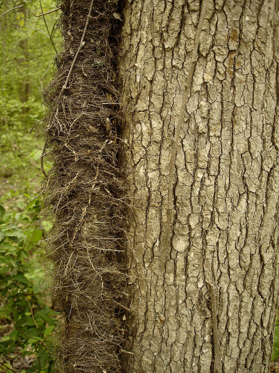
Toxicodendron radicans (Poison Ivy) Anacardiaceae

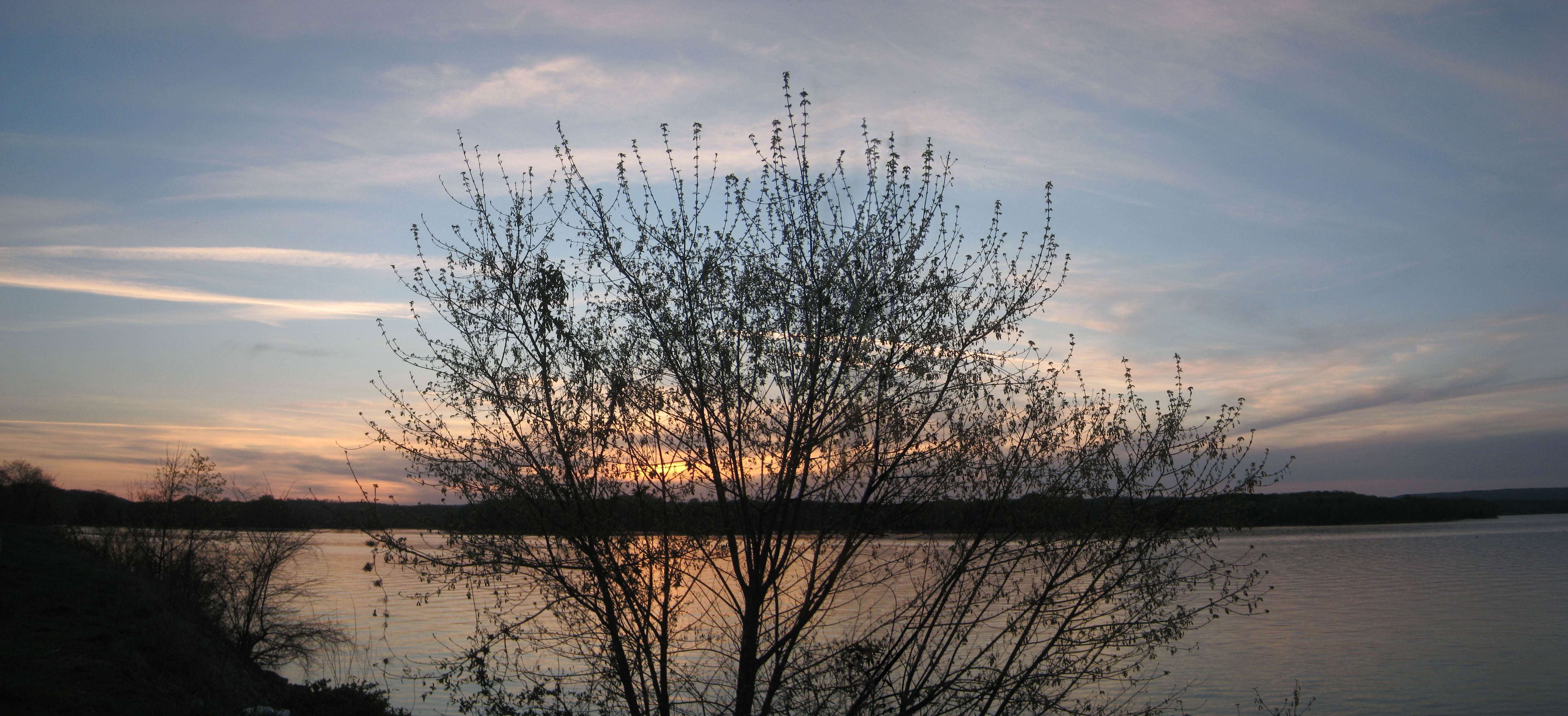
~Sunset Fishing~
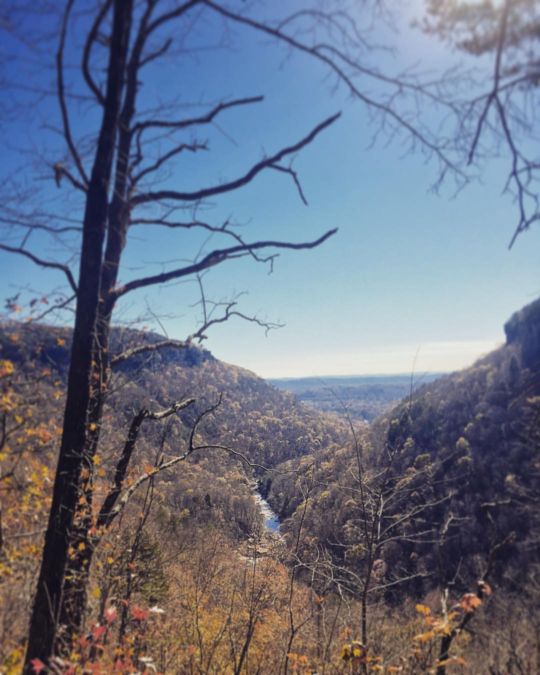
Sometimes you get the best views once the leaves have fallen ???????? #chatt #chattanooga #noog #nooga #noogagram #nashvilleexplorersclub #mountains #moretoexplore #letscamp #livelocallytn #onlytennisee #outside #outdoors #instagramtennes

Returning From Cleveland
Lake view
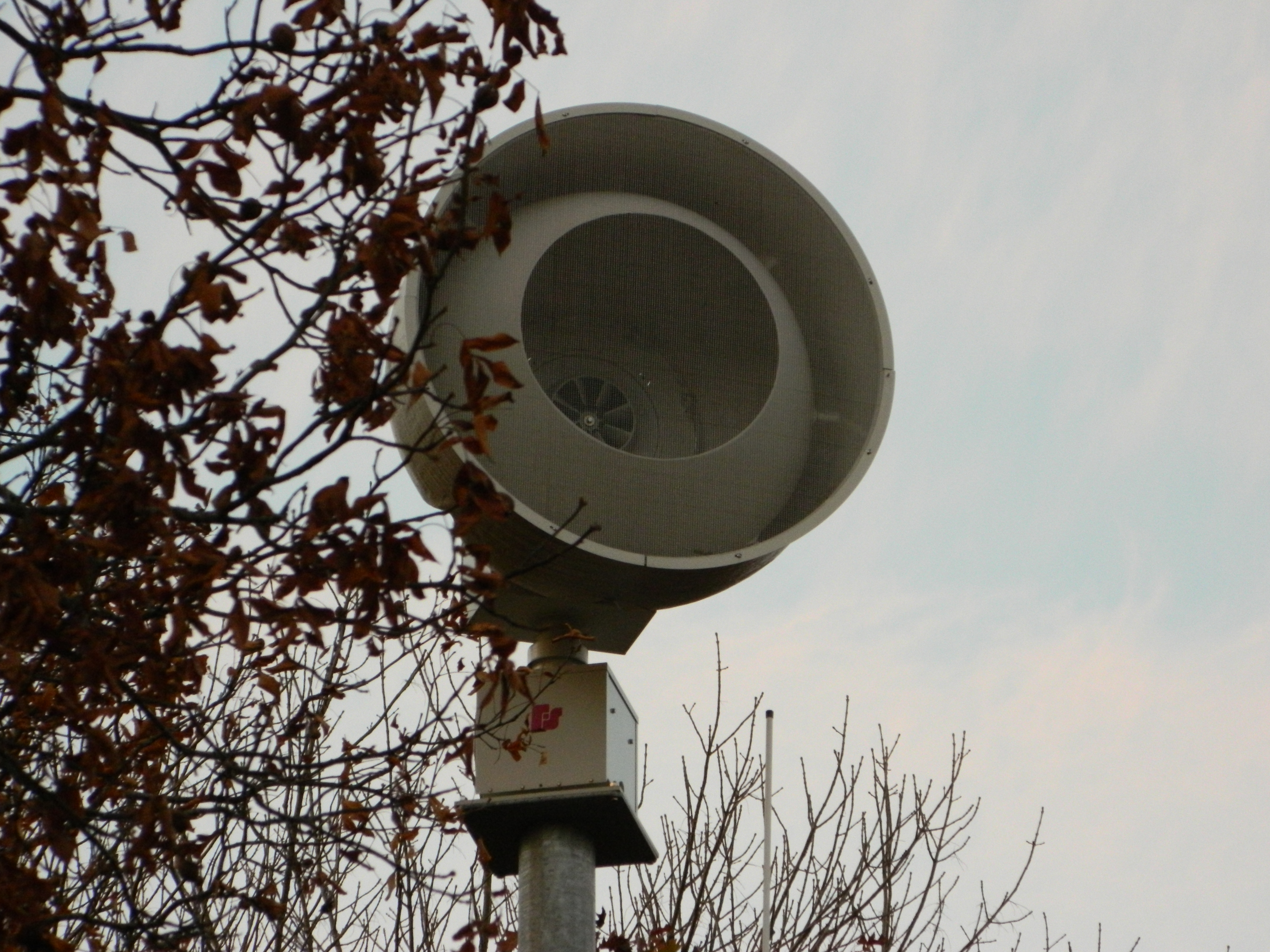
Federal Signal 508
Must be an interesting place to work. I bet it has a good view.

A backyard view of the night sky.

Common Loon
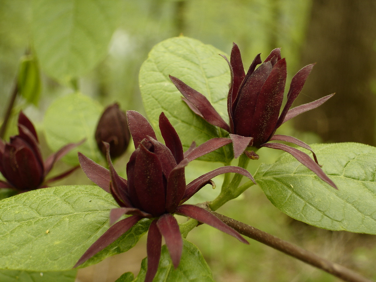
Calycanthus floridus (Sweetshrub, Carolina Allspice) Calycanthaceae
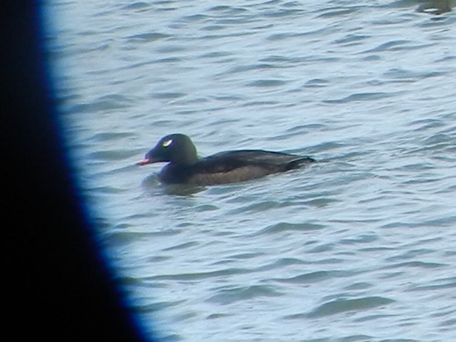
ww scoter male Chickamauga2

Lake view

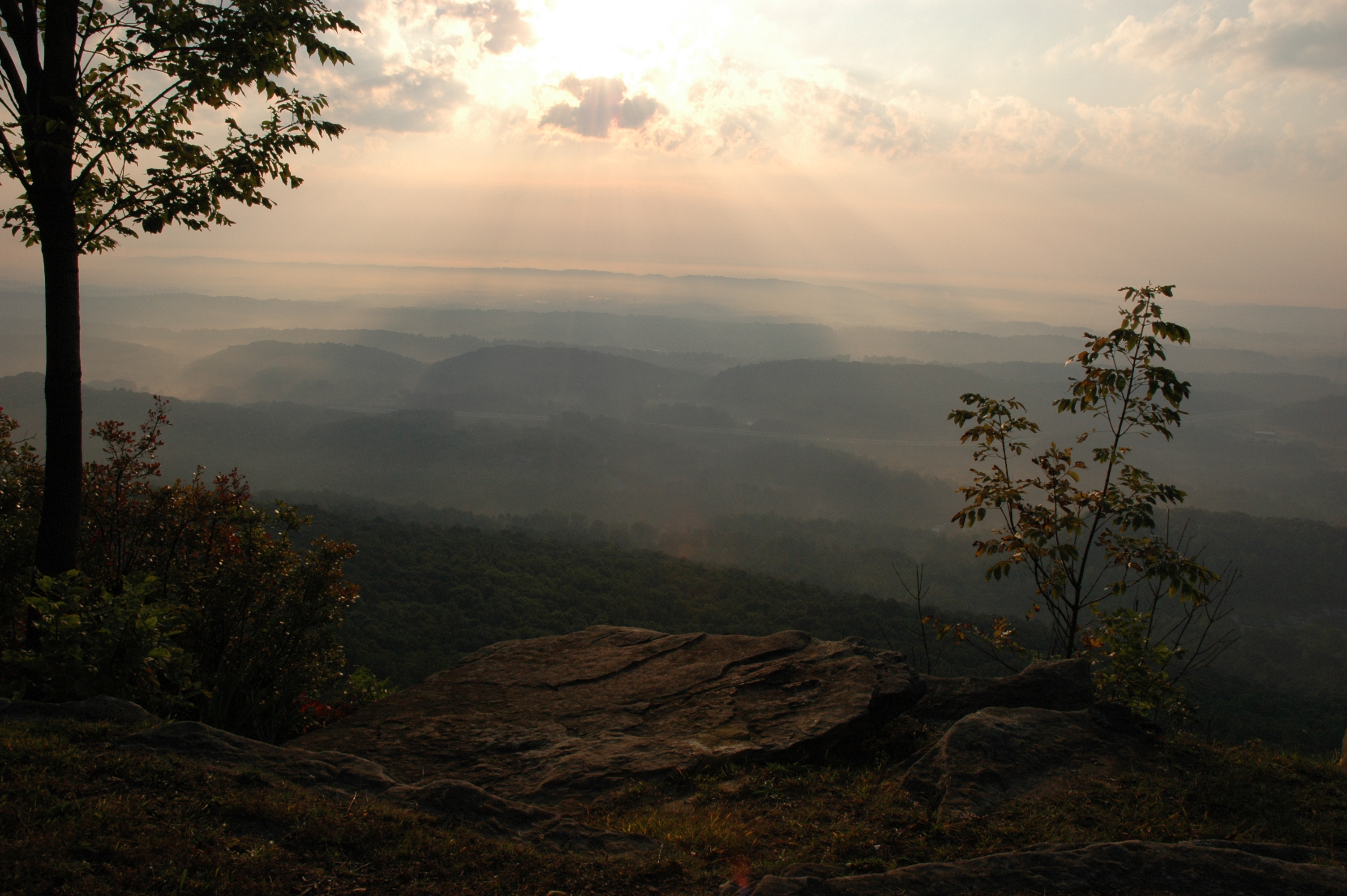
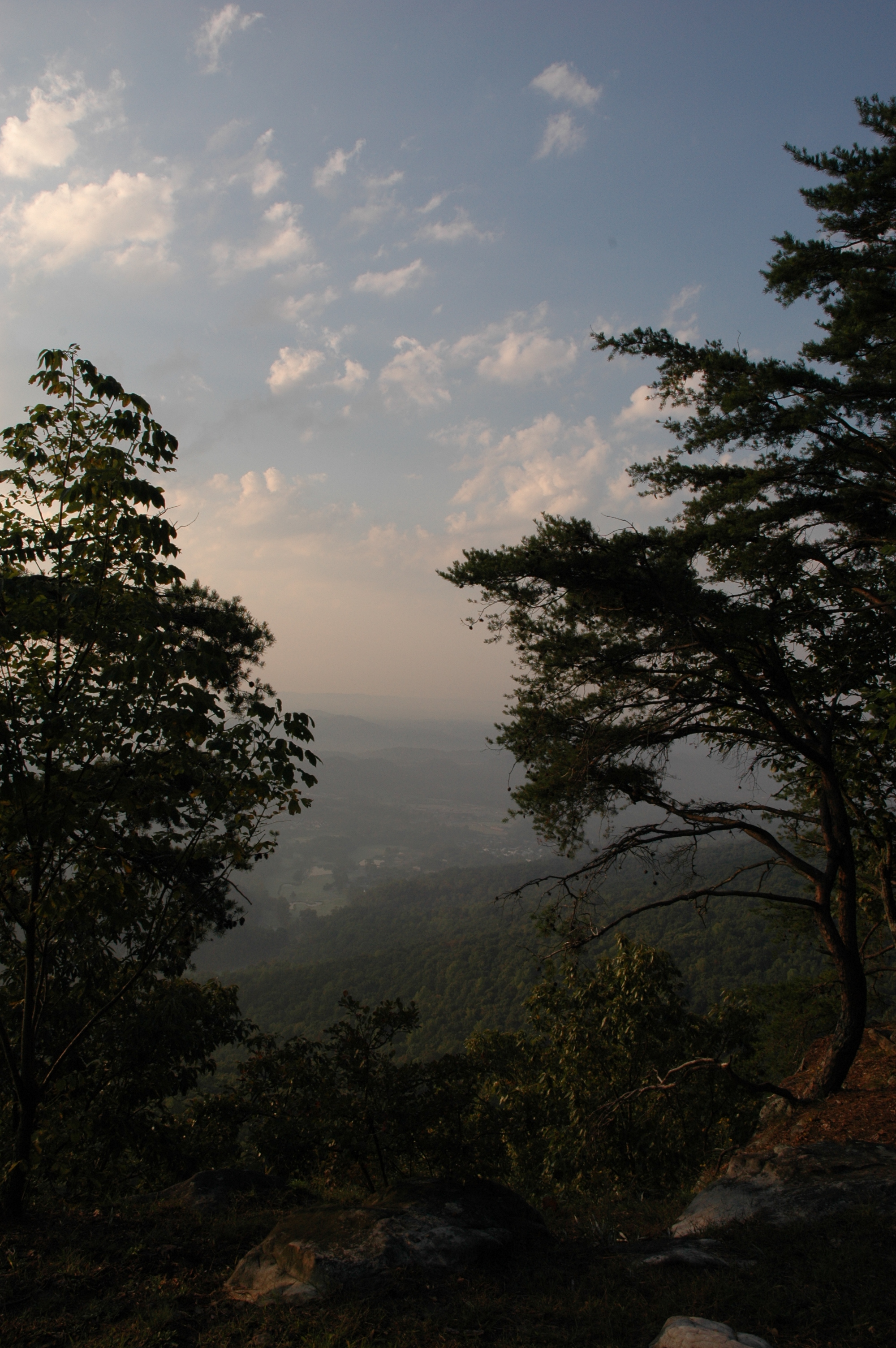
Scenic View...
WBrowSignalMtn-4
WBrowSignalMtn-2
WBrowSignalMtn-1
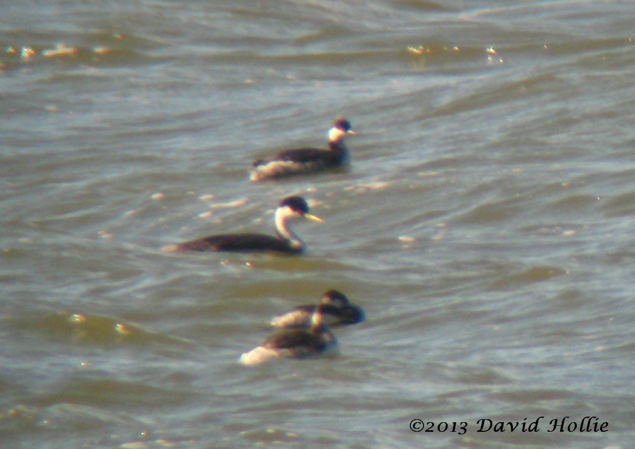
Western Grebe

Imposition of Ashes, Ash Wednesday 2013 - m4200
Snow 2014

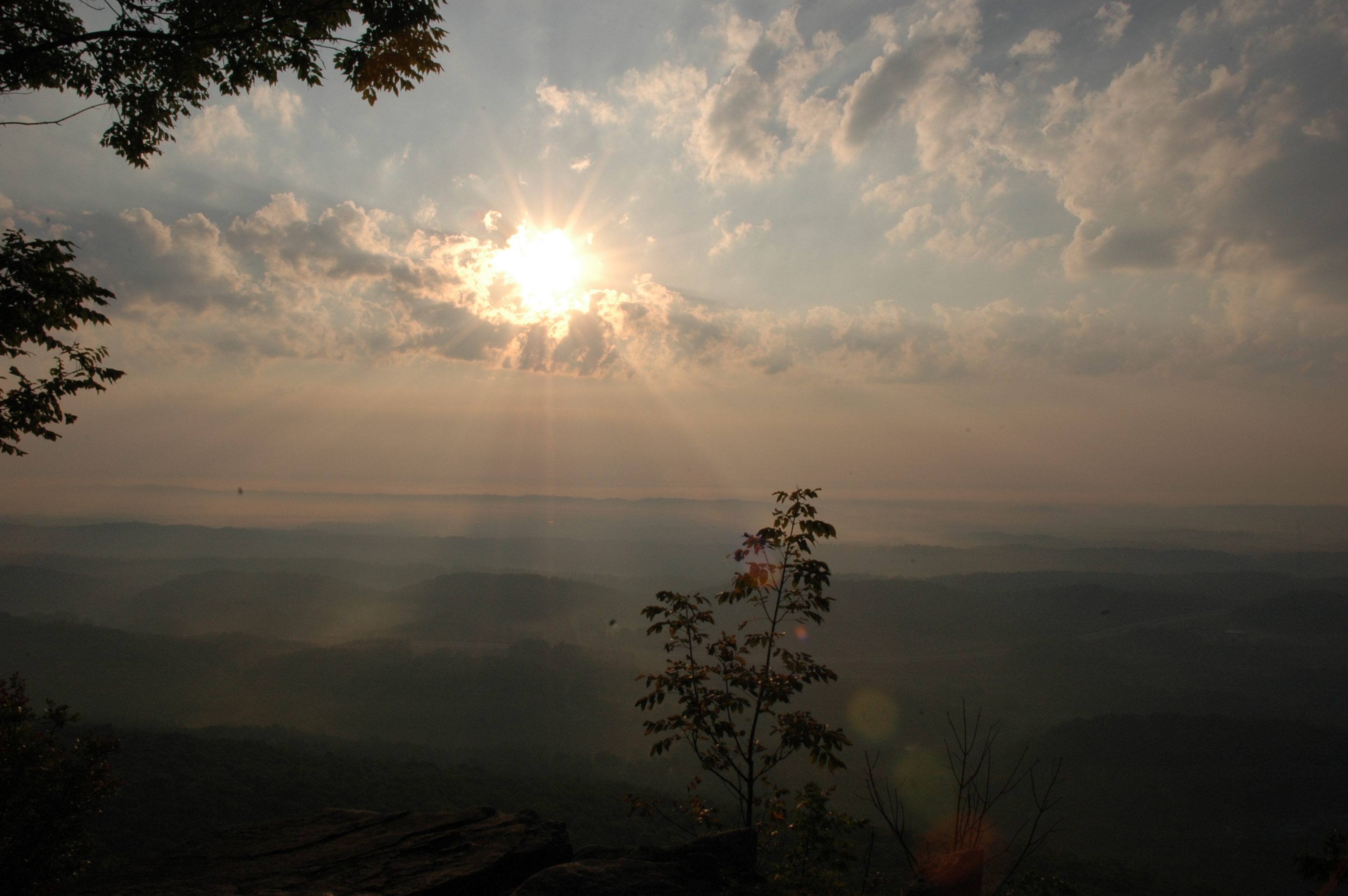
This is becoming a regular afternoon view

Caution: Boulder

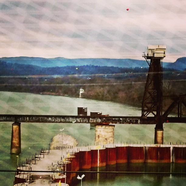
Chickamauga Dam
North Chickamauga Trail Segment of the Cumberland Trail

North Chickamauga Trail Segment of the Cumberland Trail - February 16, 2013

NS Train 64Q
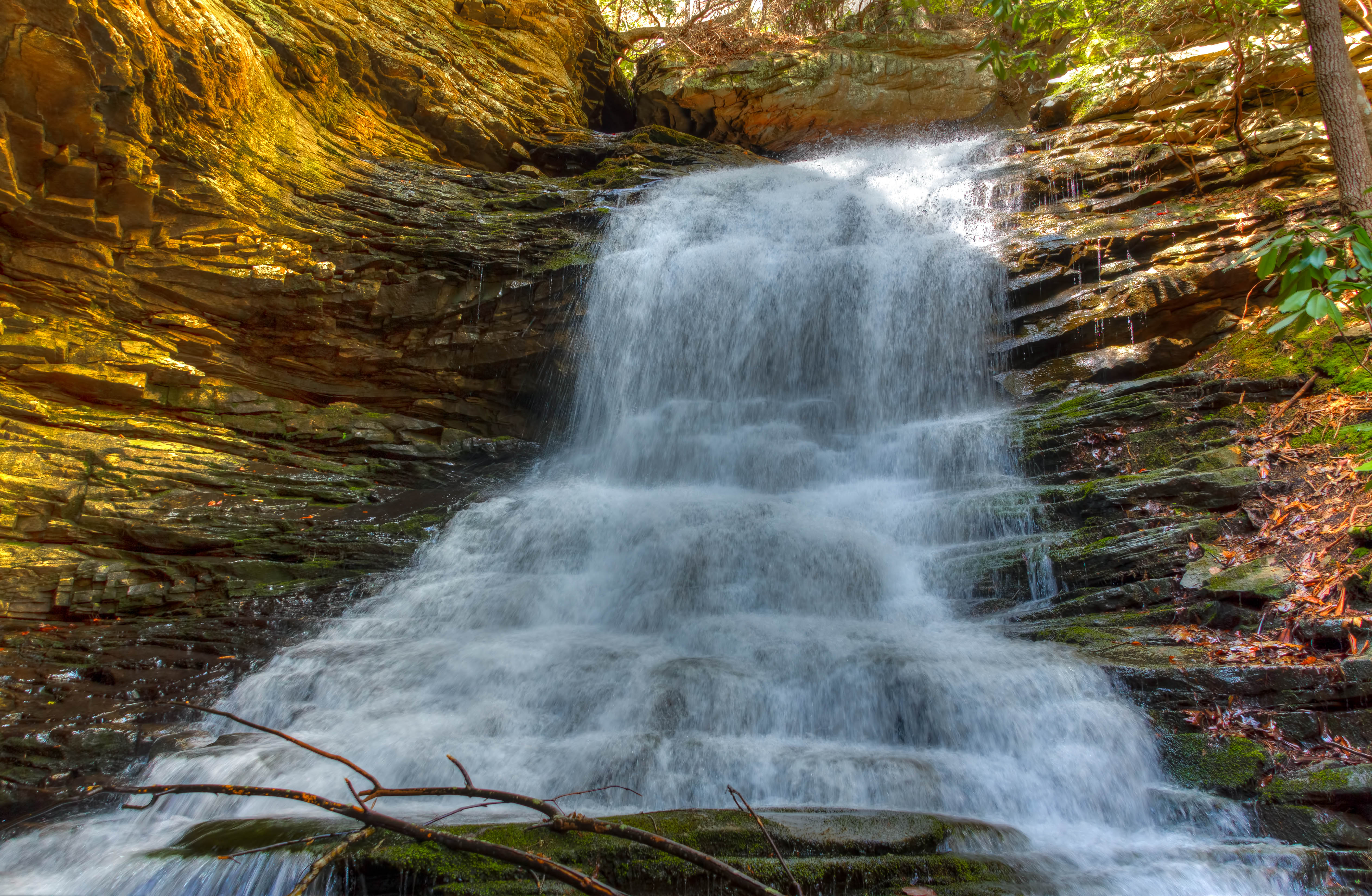
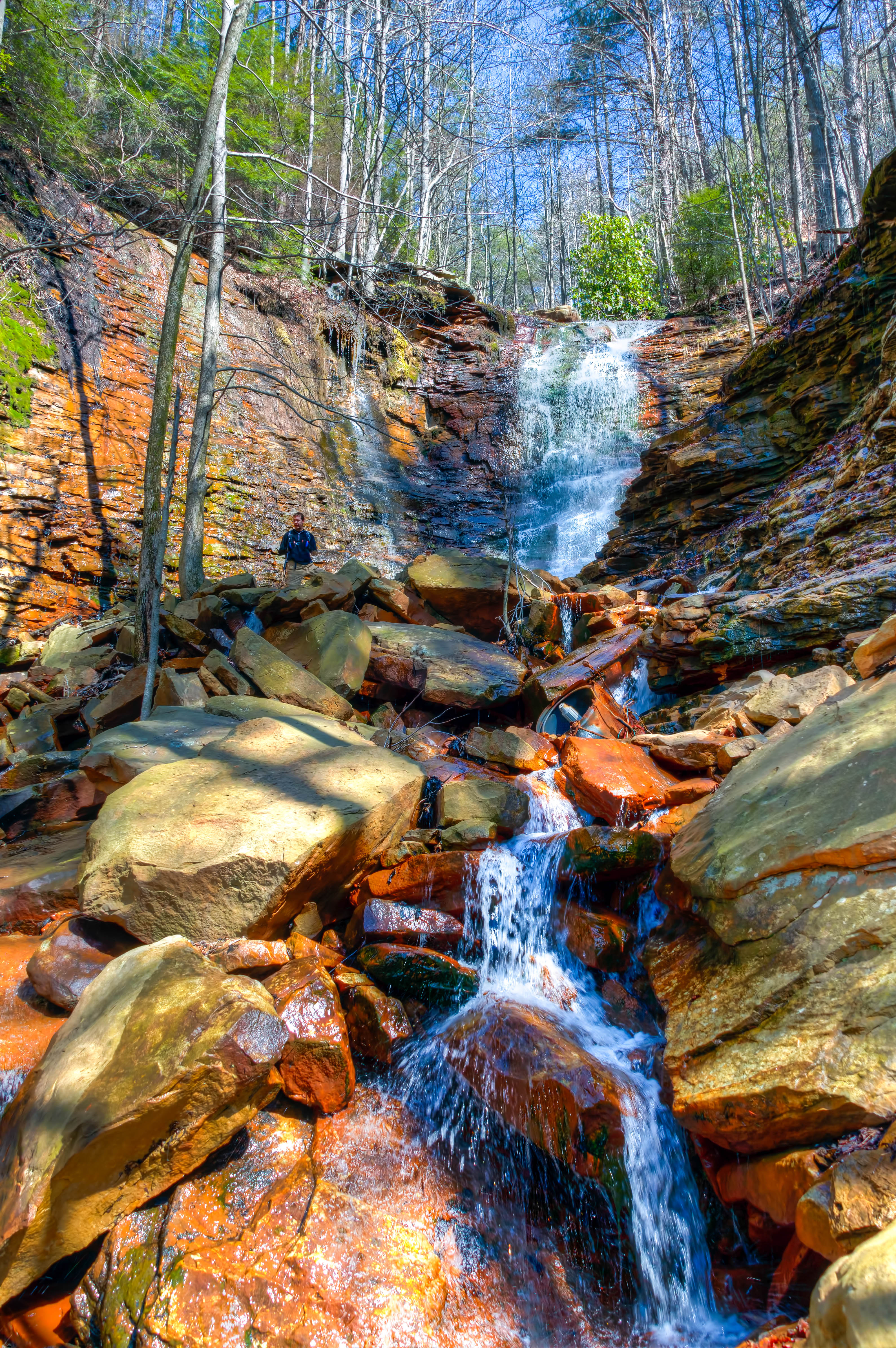
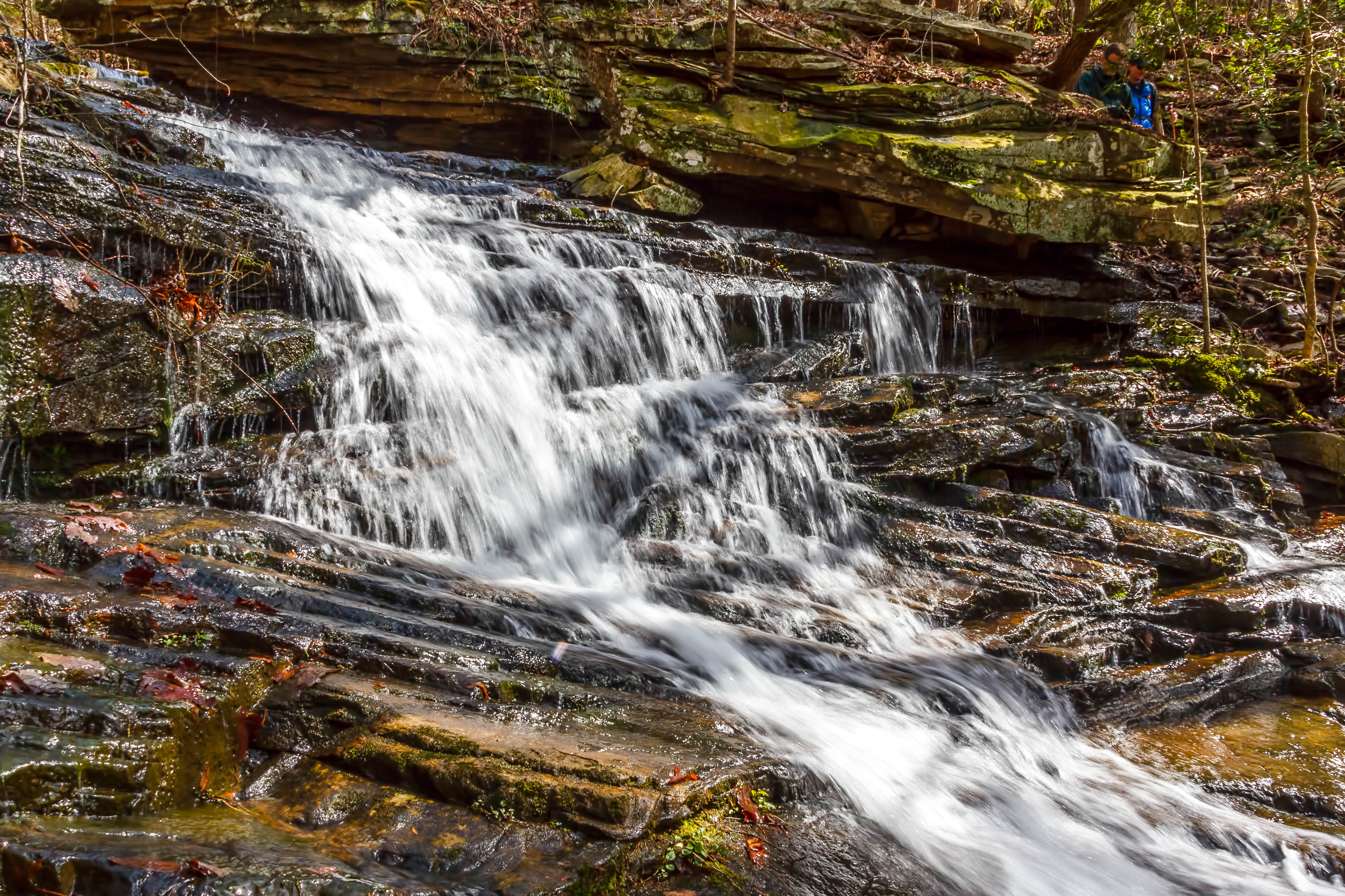
Stripmine Falls - North Chickamauga Trail Segment of the Cumberland Trail - February 16, 2013
Stripmine Falls - North Chickamauga Trail Segment of the Cumberland Trail - February 16, 2013
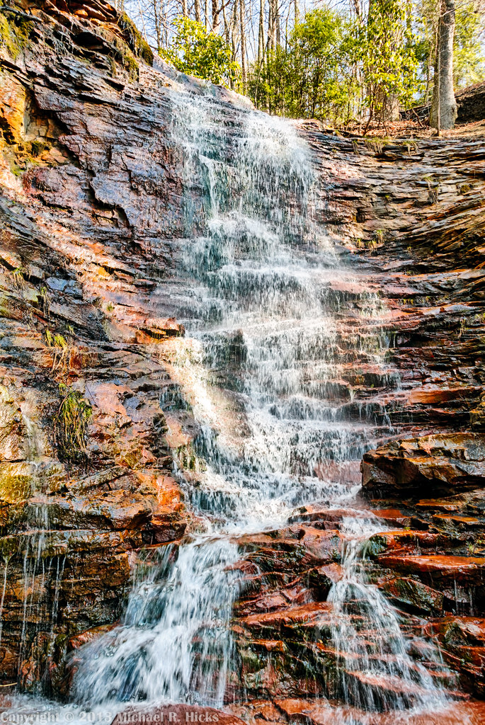
Stripmine Falls - North Chickamauga Trail Segment of the Cumberland Trail - February 16, 2013
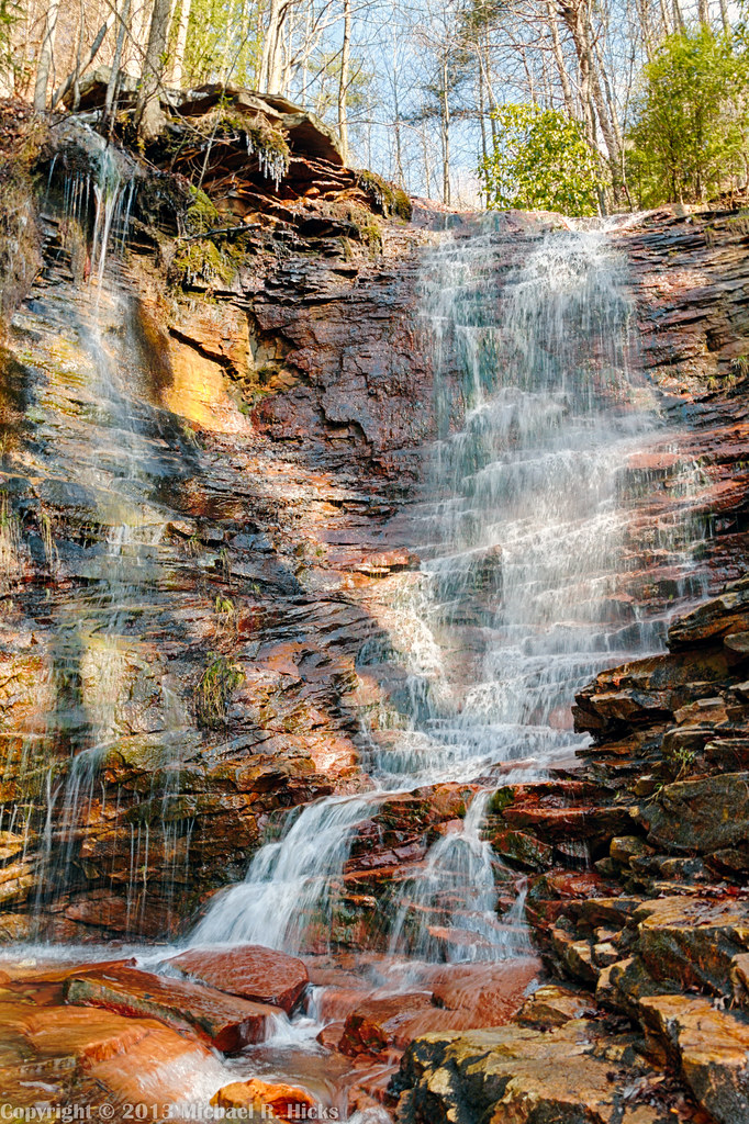
Stripmine Falls - North Chickamauga Trail Segment of the Cumberland Trail - February 16, 2013
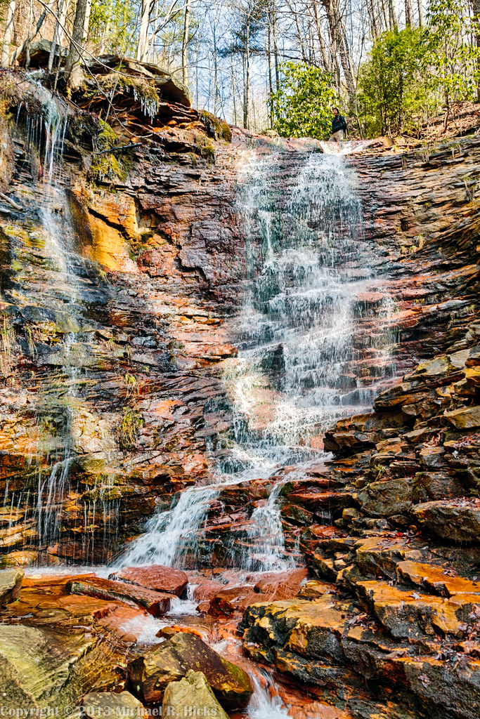
Stripmine Falls - North Chickamauga Trail Segment of the Cumberland Trail - February 16, 2013
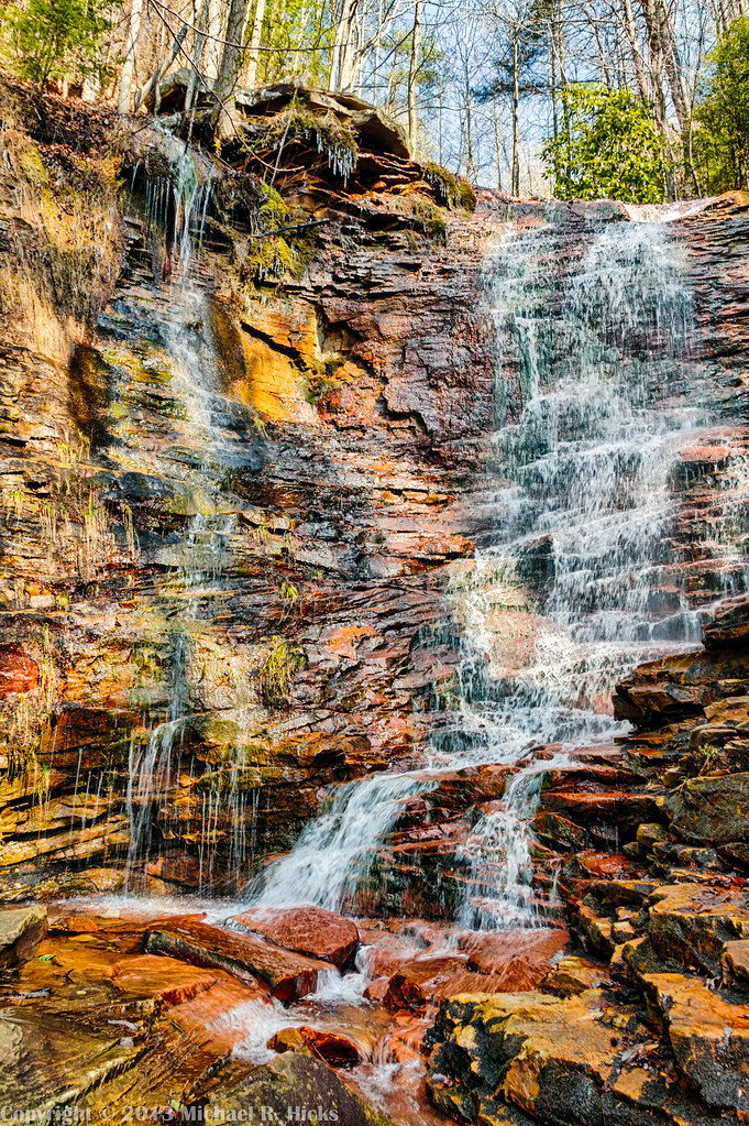
Stripmine Falls - North Chickamauga Trail Segment of the Cumberland Trail - February 16, 2013

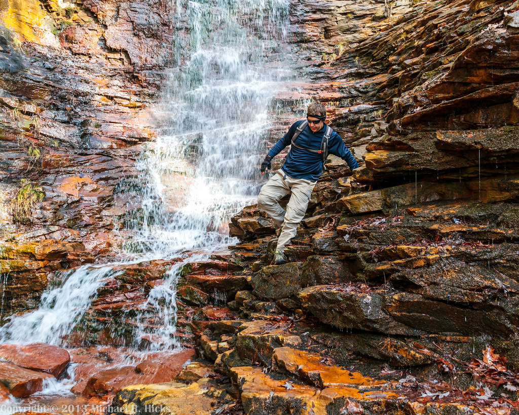
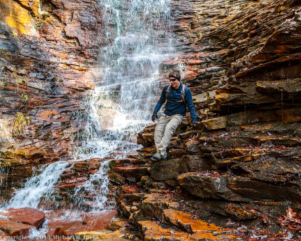
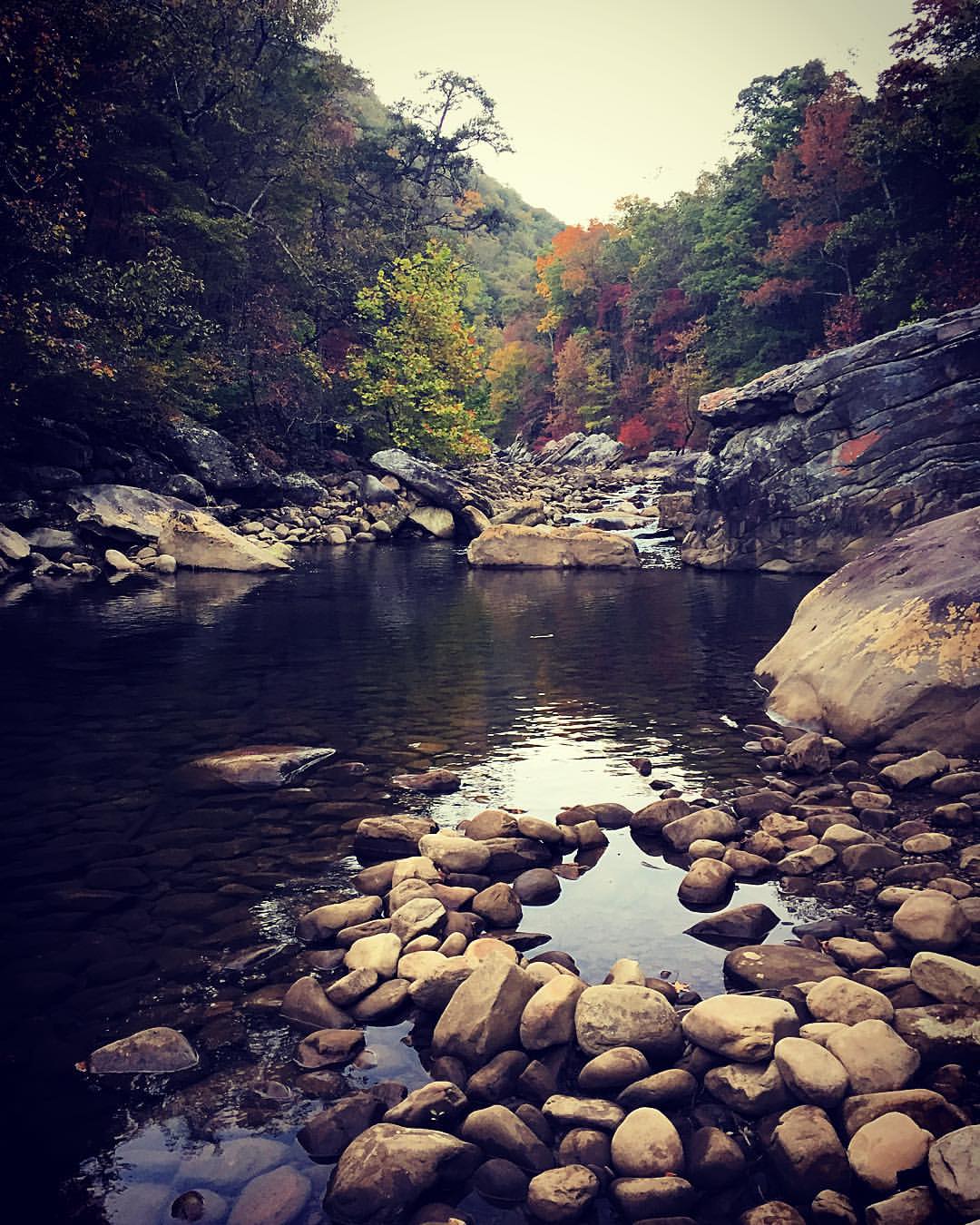
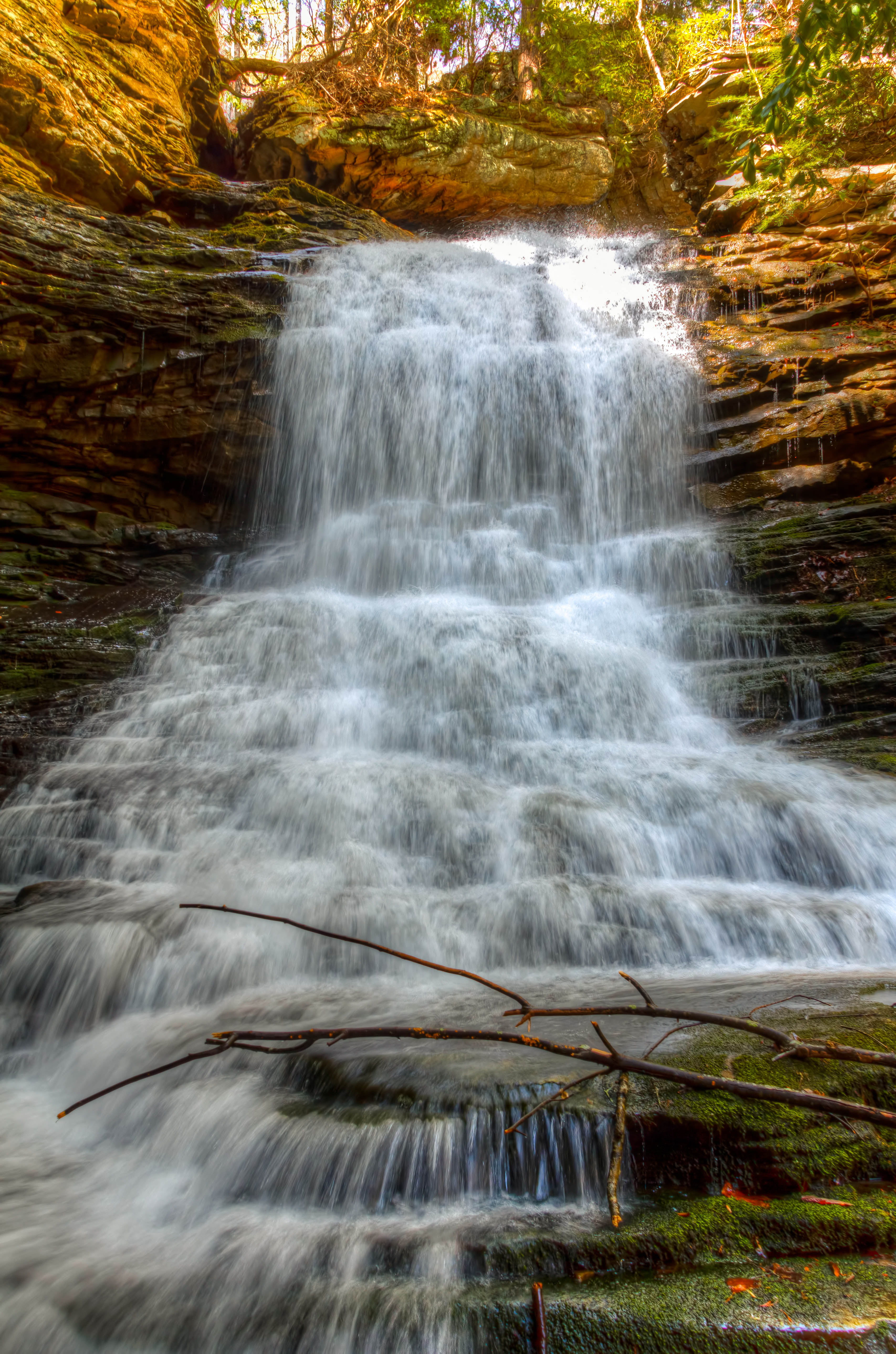
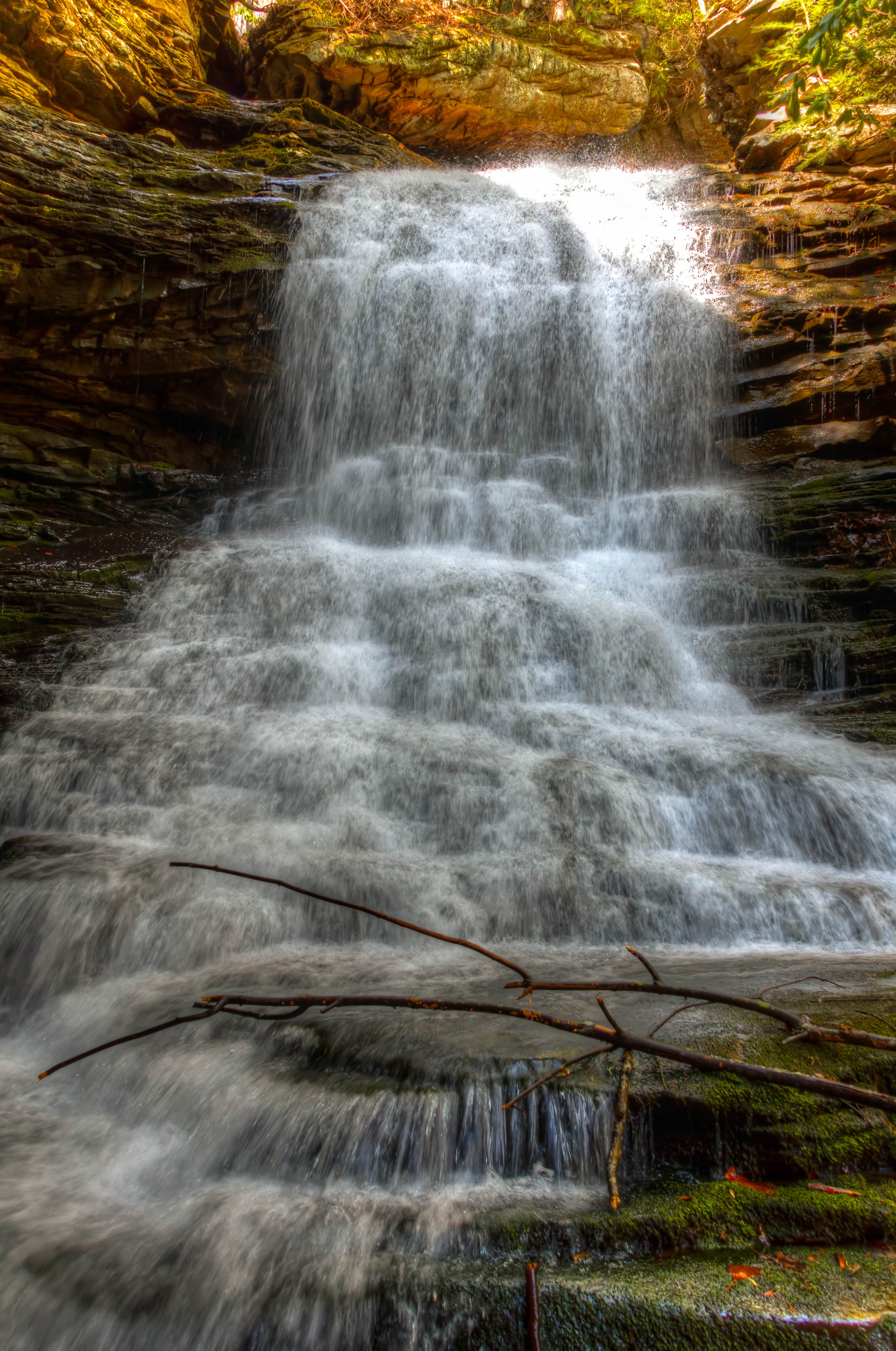
Cooper Creek Falls - North Chickamauga Trail Segment of the Cumberland Trail - February 16, 2013
Fall is in full force. ????????????????#exploreTN #exploremore #explore #rei #rei1440project #RedefineTheOutdoors #tn #tnwild #tennessee #ighikers #igerstennessee #instagramtennessee #outside #outdoors #OutdoorsUSA #onlyt
North Chickamauga Trail Segment of the Cumberland Trail
North Chickamauga Trail Segment of the Cumberland Trail
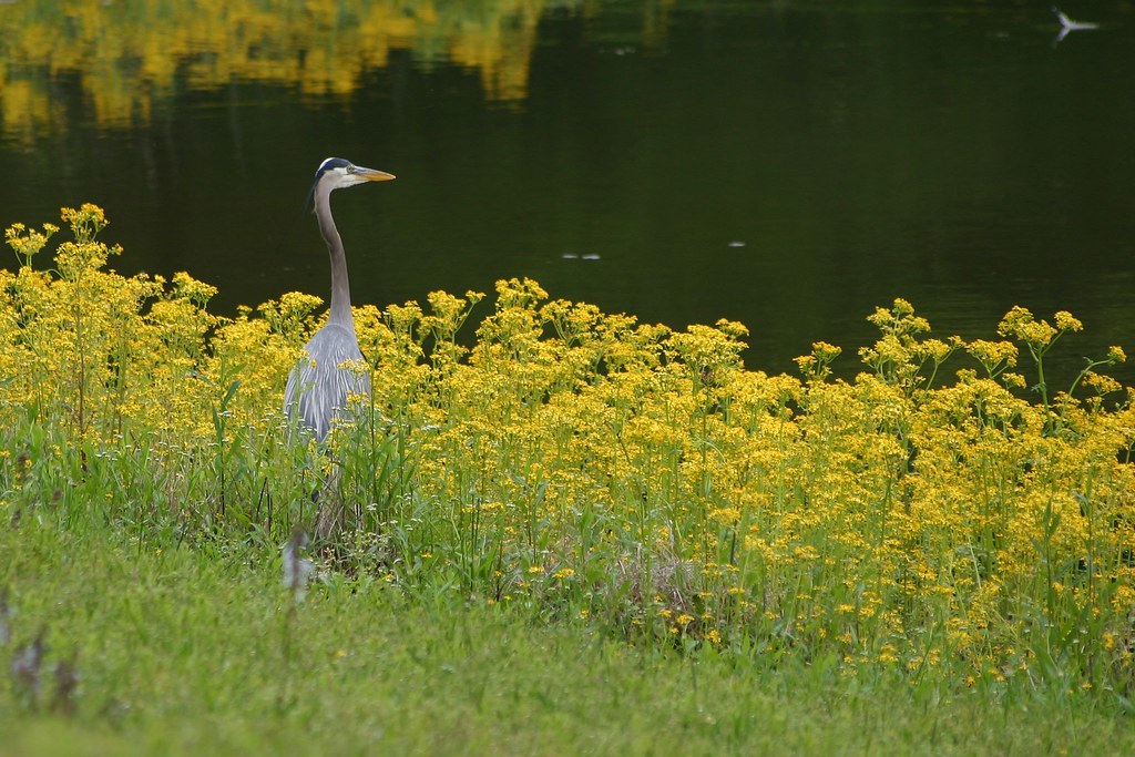
Great Blue Heron
North Chickamauga Trail Segment of the Cumberland Trail

Cooper Creek Falls - North Chickamauga Trail Segment of the Cumberland Trail - February 16, 2013
North Chickamauga Trail Segment of the Cumberland Trail
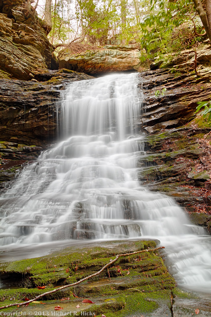
Cooper Creek Falls - North Chickamauga Trail Segment of the Cumberland Trail - February 16, 2013
Topographic Map of Ridge Bay Dr, Hixson, TN, USA
Find elevation by address:

Places near Ridge Bay Dr, Hixson, TN, USA:
Hamilton County
7503 Foster Hixson Cemetery Rd
233 Dolores Dr
Middle Valley
9011 Wellthor Cir
8411 Harrison Bay Rd
Gold Crest Dr, Hixson, TN, USA
1434 Gold Crest Dr
1528 W Crabtree Rd
Lakesite
1353 Village Green Dr
810 S Valleywood Cir
922 Spurling Dr
920 Spurling Dr
918 Spurling Dr
916 Spurling Dr
914 Spurling Dr
Harrison Bay Road
Shadwick Cemetery
Save-a-lot
Recent Searches:
- Elevation of Fern Rd, Whitmore, CA, USA
- Elevation of 62 Abbey St, Marshfield, MA, USA
- Elevation of Fernwood, Bradenton, FL, USA
- Elevation of Felindre, Swansea SA5 7LU, UK
- Elevation of Leyte Industrial Development Estate, Isabel, Leyte, Philippines
- Elevation of W Granada St, Tampa, FL, USA
- Elevation of Pykes Down, Ivybridge PL21 0BY, UK
- Elevation of Jalan Senandin, Lutong, Miri, Sarawak, Malaysia
- Elevation of Bilohirs'k
- Elevation of 30 Oak Lawn Dr, Barkhamsted, CT, USA