Elevation of Ridder, Kazakhstan
Location: Kazakhstan > East Kazakhstan Province >
Longitude: 83.5062548
Latitude: 50.3382214
Elevation: 743m / 2438feet
Barometric Pressure: 93KPa
Elevation Map:
Satellite Map:
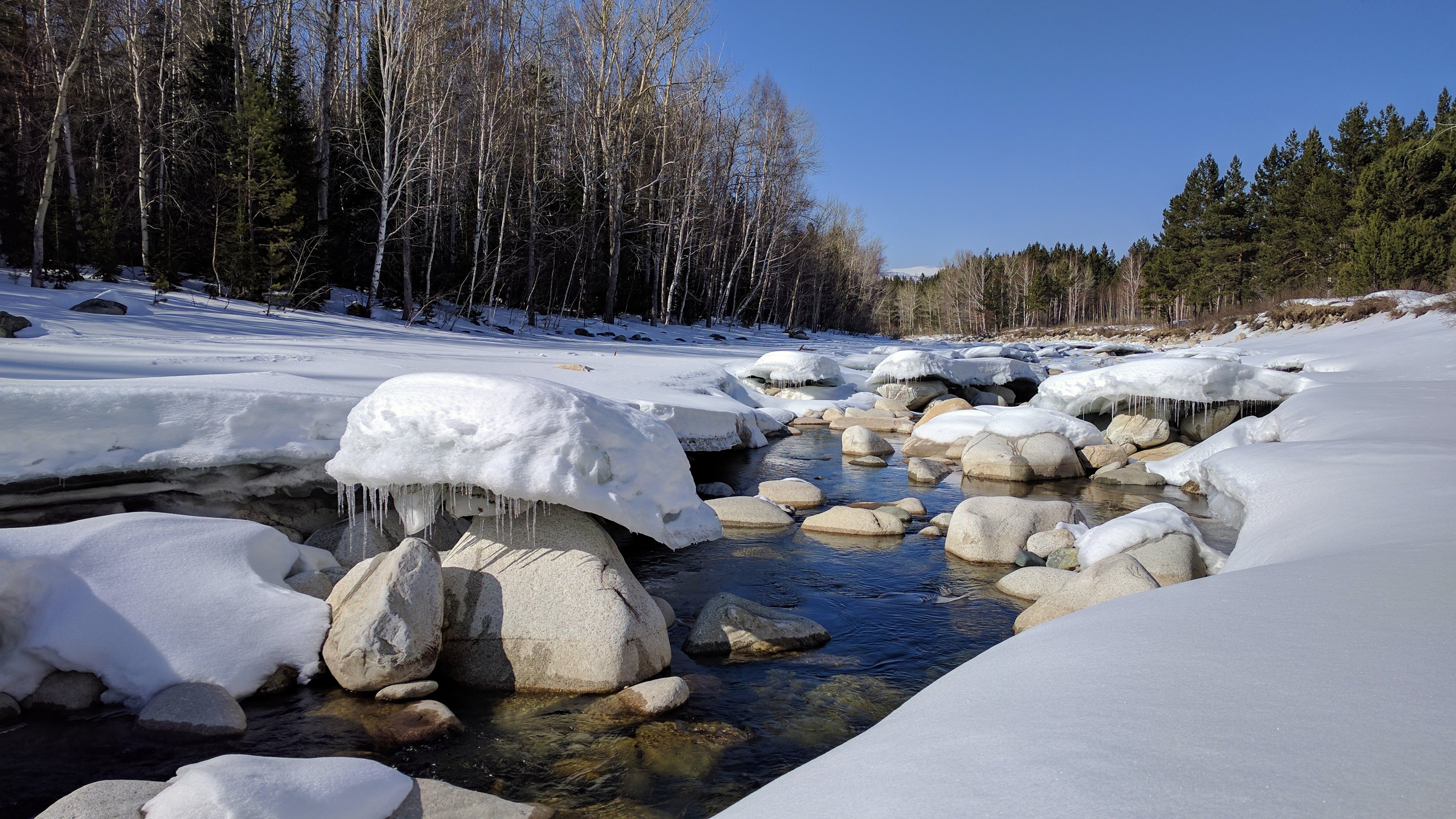
Related Photos:
Mountain view

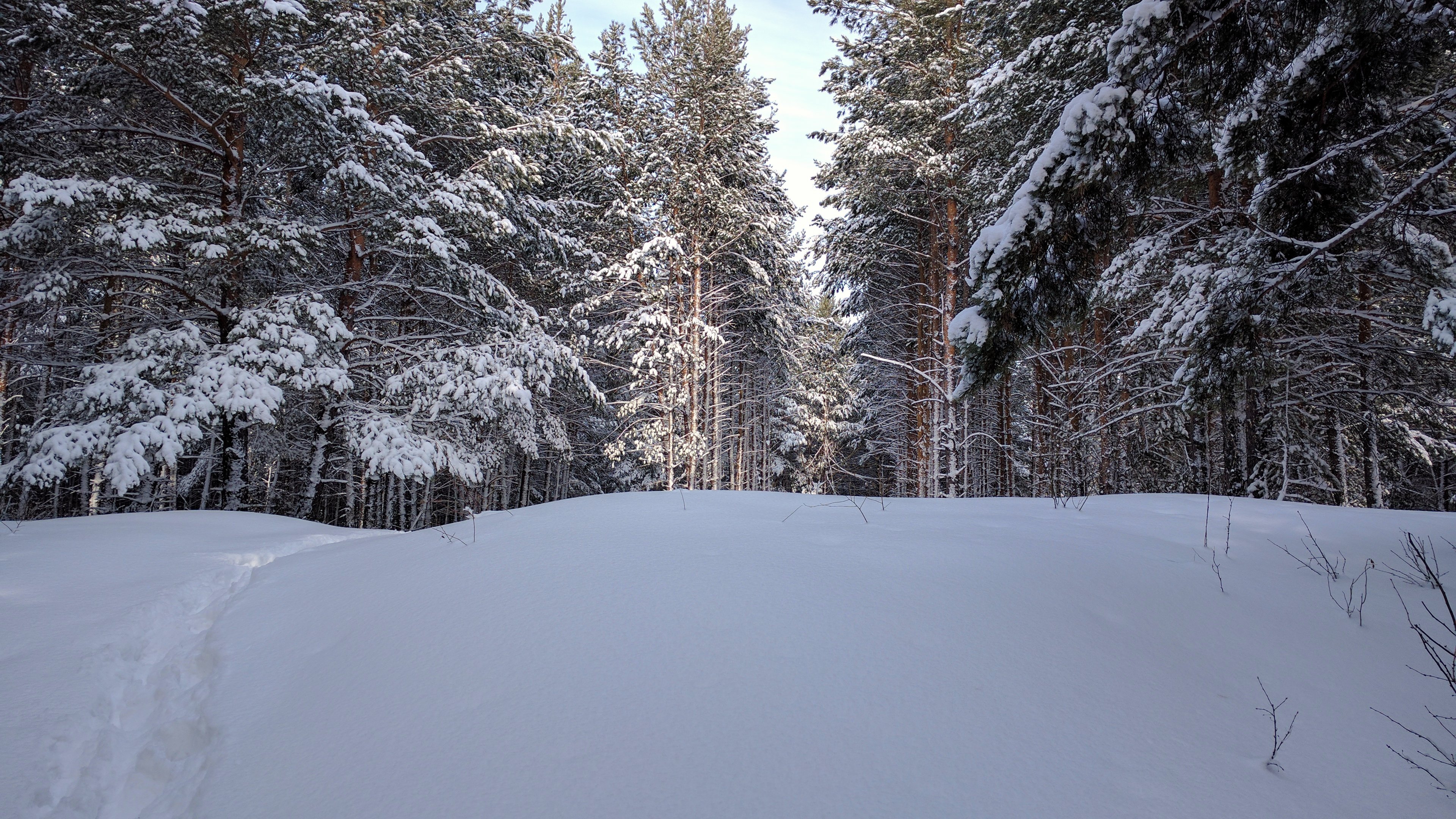
Snow road

Winter mountain

Риддер

Private DR1B DMU

RZD passenger train

2017-03-23_07-17-02

2017-03-23_07-12-53
2017-03-12_06-42-56
First days of spring

2017-03-04_09-37-12

Spring is coming!

2017-02-20_08-29-04
2017-02-20_08-28-29
2017-02-20_08-25-30

2017-02-20_08-25-15
2017-02-20_08-24-43

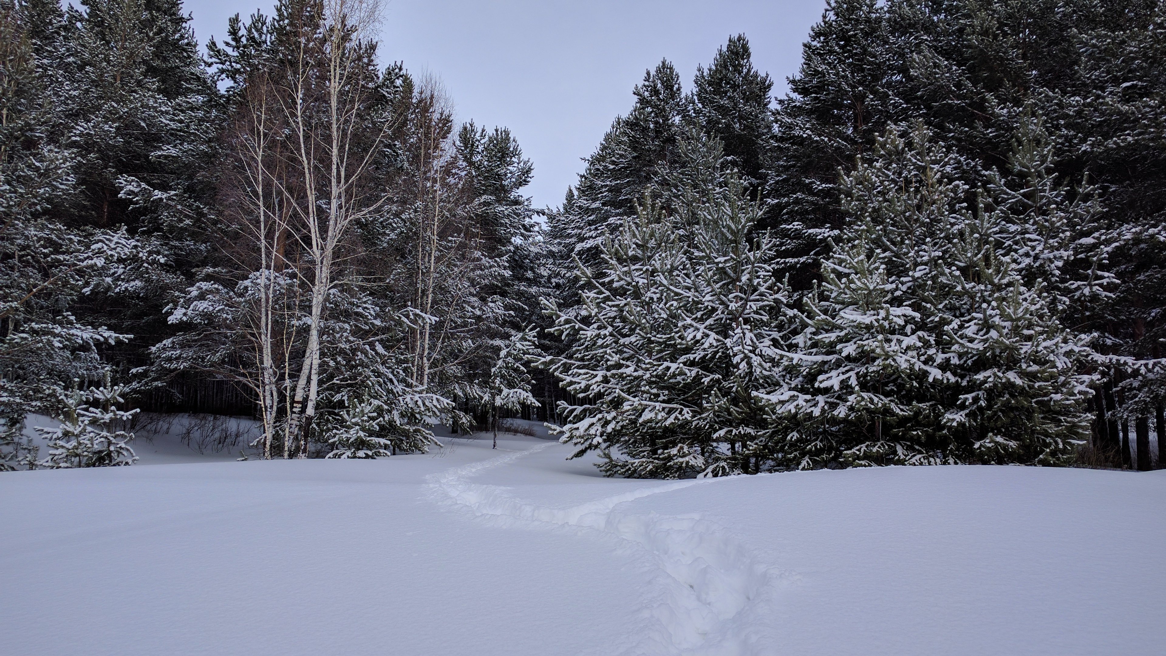
Winter fofest
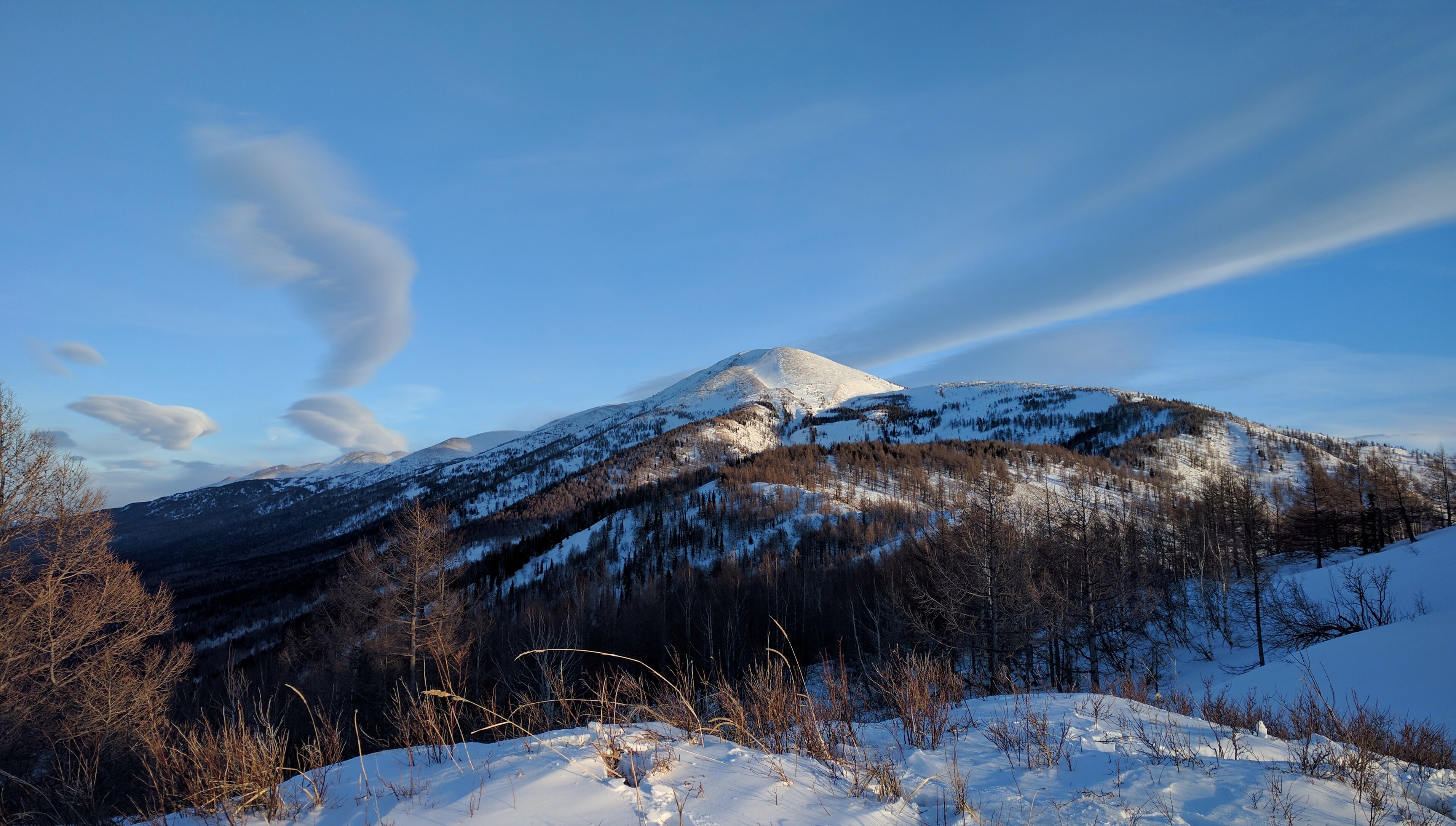
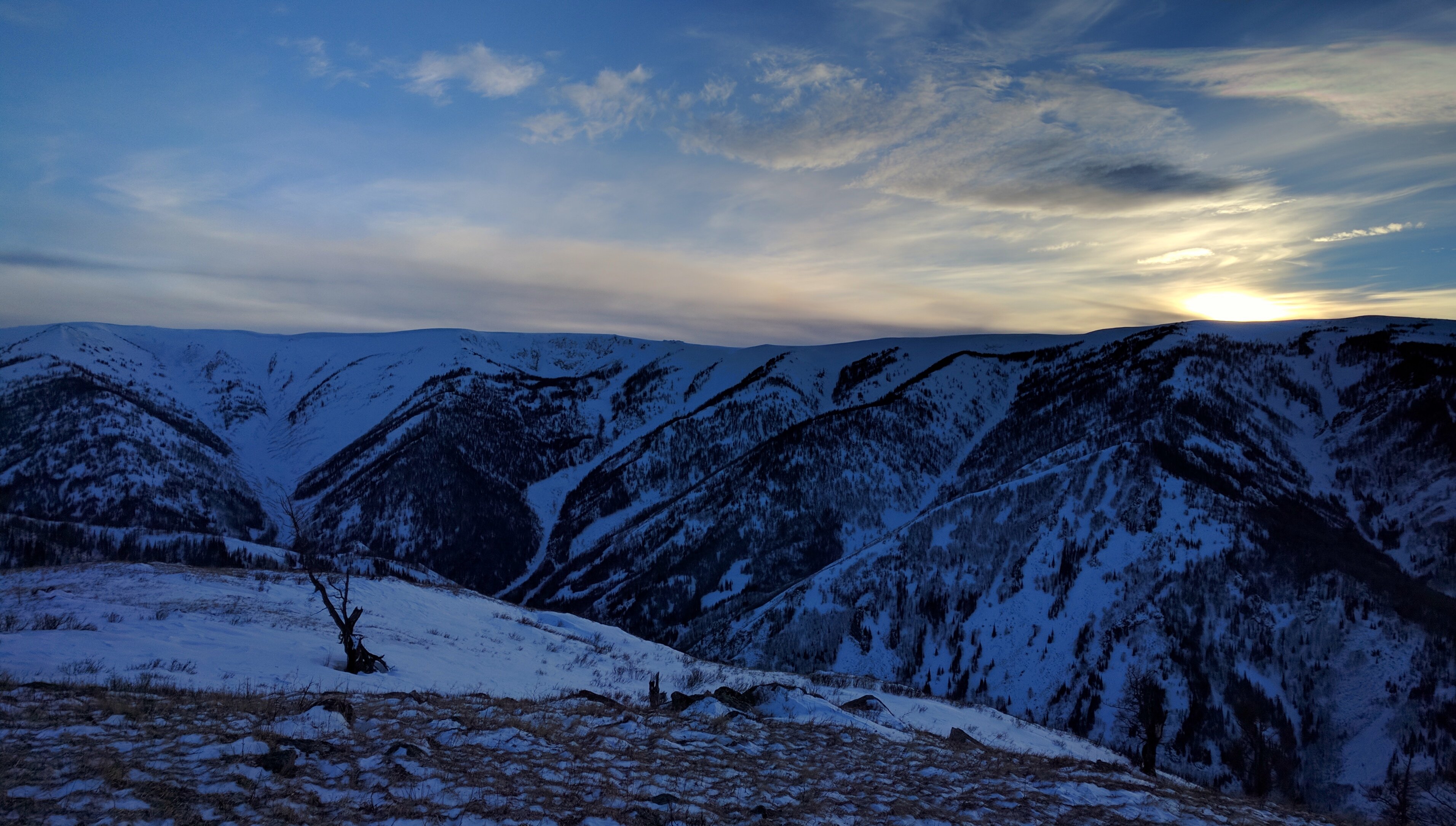
Mountain ridge

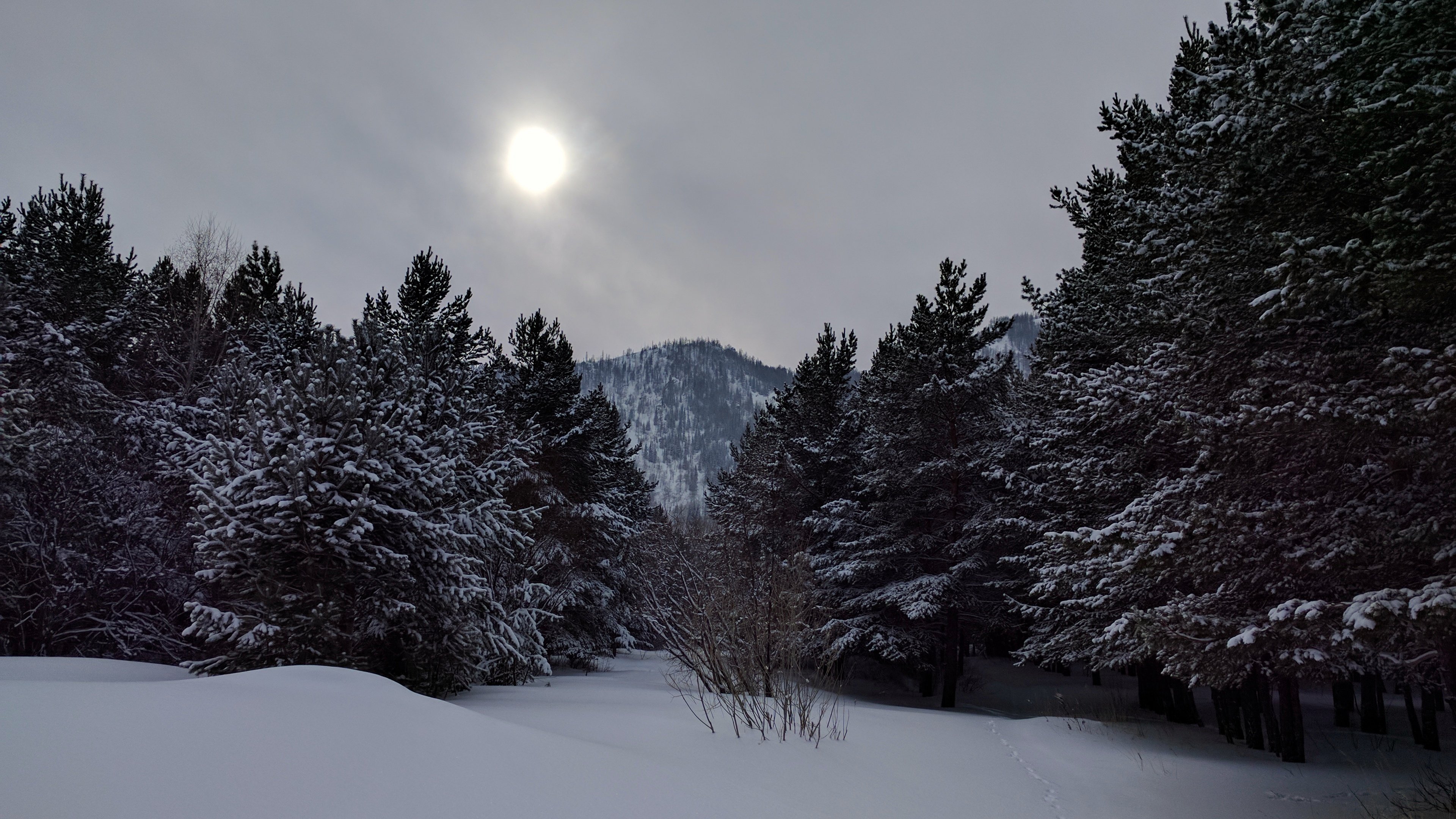
Winter forest

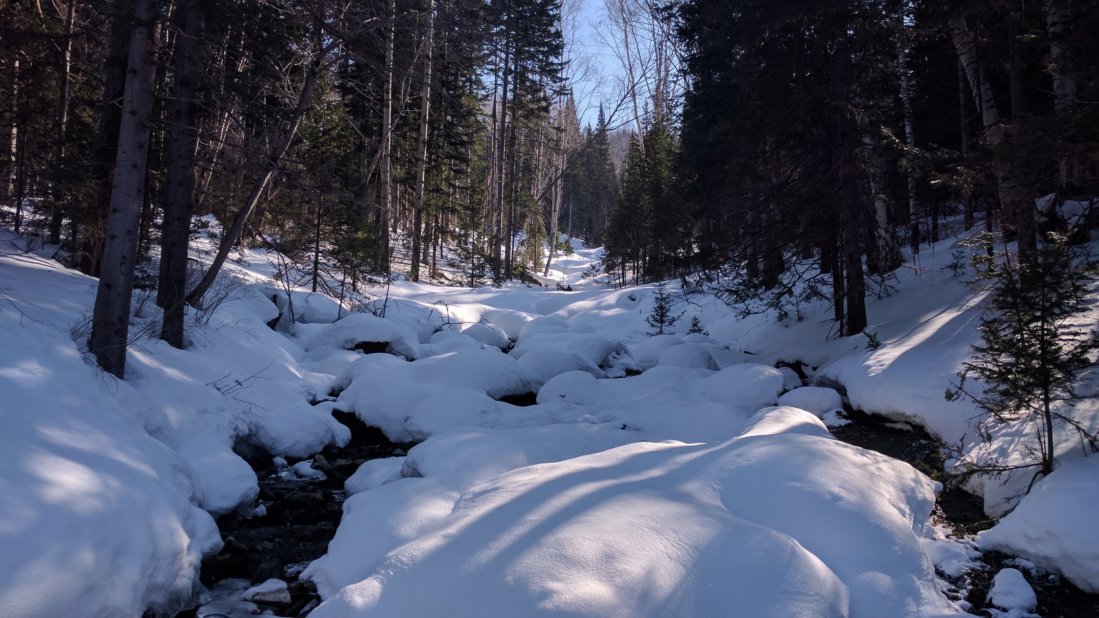
Montain brook
Topographic Map of Ridder, Kazakhstan
Find elevation by address:

Recent Searches:
- Elevation of Paseo Lucido, San Diego, CA, USA
- Elevation of W S, Orem, UT, USA
- Elevation of Water Bird Wy, Punta Gorda, FL, USA
- Elevation of Teiskontie 8, Tampere, Finland
- Elevation of Pacific View Dr, Malibu, CA, USA
- Elevation of Thorpe Cir, Thousand Oaks, CA, USA
- Elevation of Eldorado do Sul - RS, Brazil
- Elevation of Eldorado do Sul - Parque Eldorado, Eldorado do Sul - RS, -, Brazil
- Elevation of 35 Governors Ln, Hilton Head Island, SC, USA
- Elevation of Orangevale, CA, USA