Elevation of Richwoods Township, AR, USA
Location: United States > Arkansas > Stone County >
Longitude: -92.154847
Latitude: 35.8196668
Elevation: 339m / 1112feet
Barometric Pressure: 97KPa
Elevation Map:
Satellite Map:
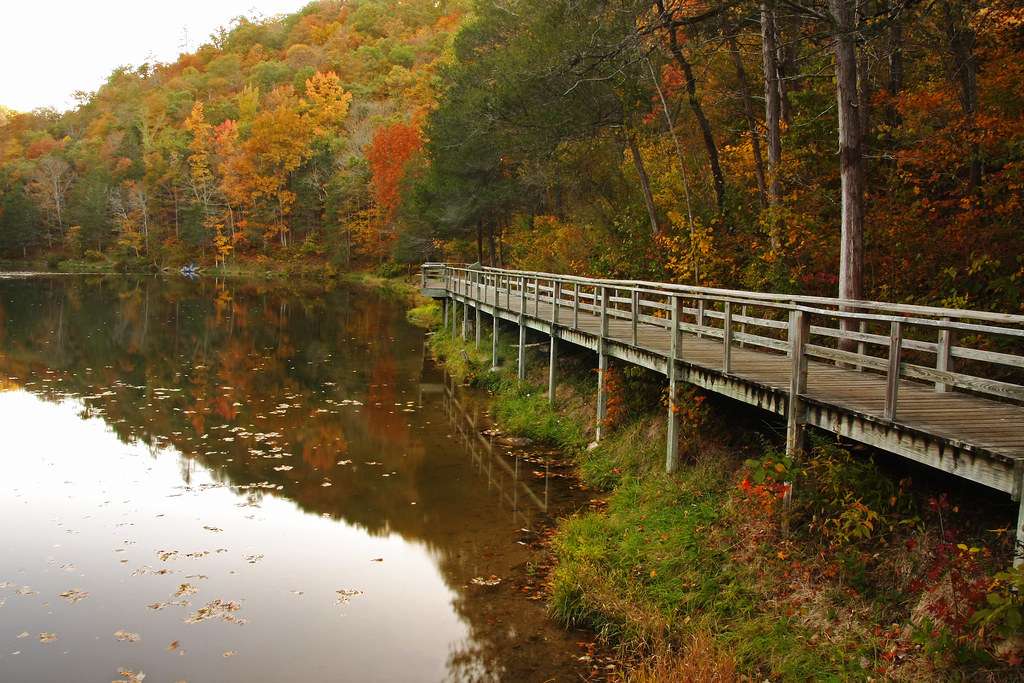
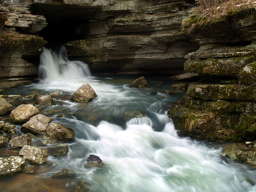
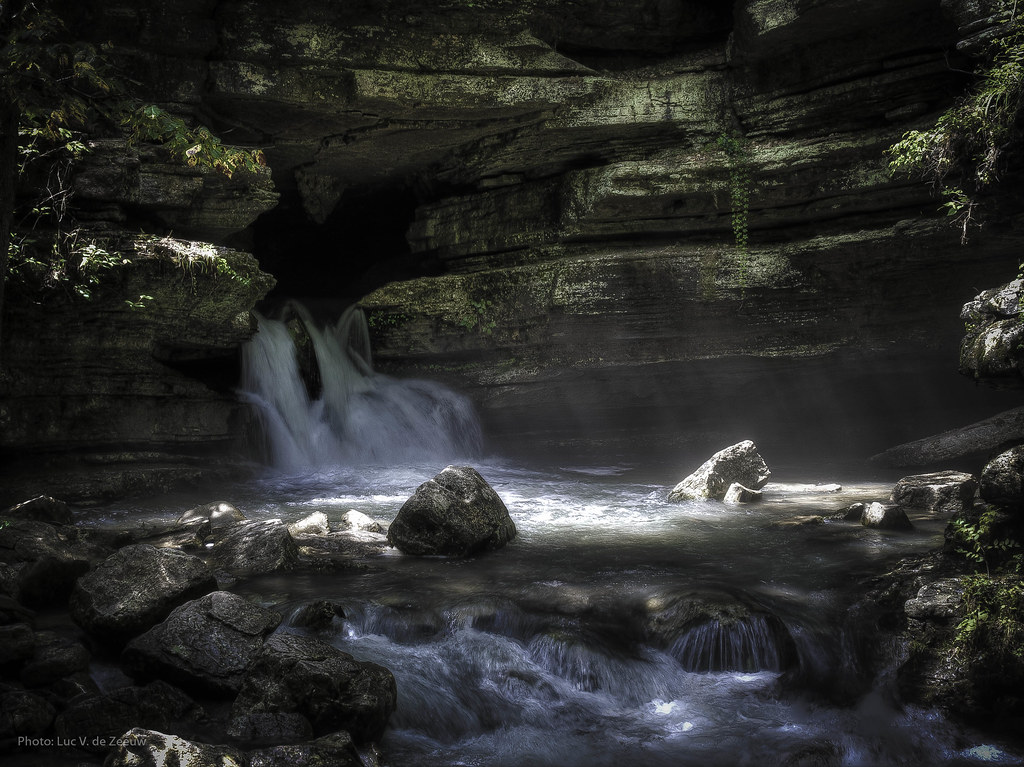
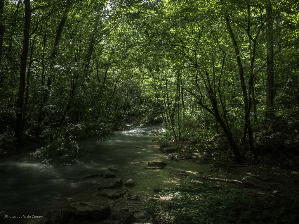
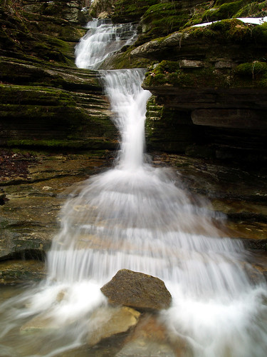
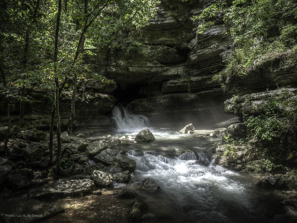
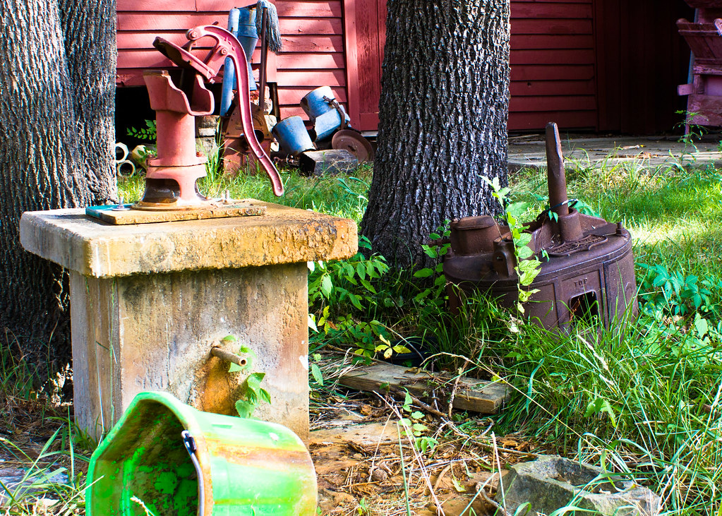
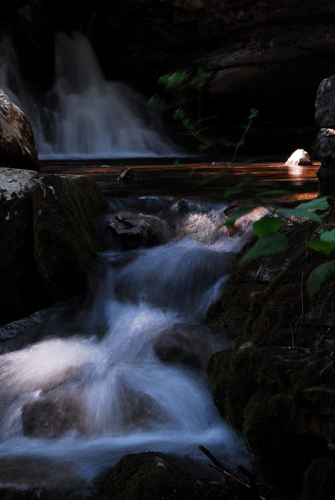
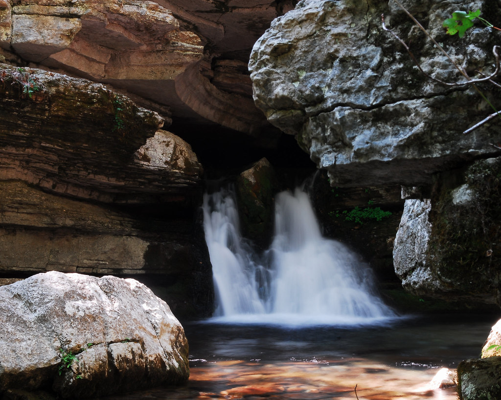
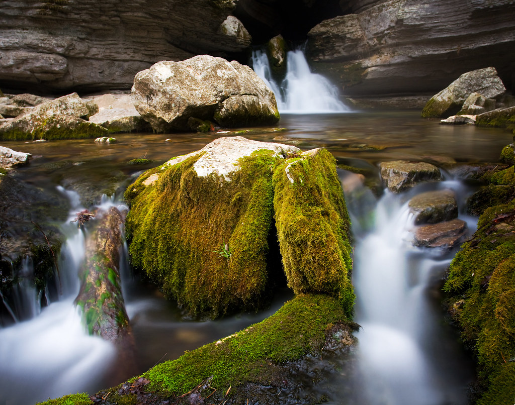
Related Photos:

blanchard springs from sideb
blanchard springs 1
Mt. View Tornado (24)
blanchard springs front

Todd Brothers Blue Grass
Mt. View Tornado (45)
Blanchard Springs Arkansas
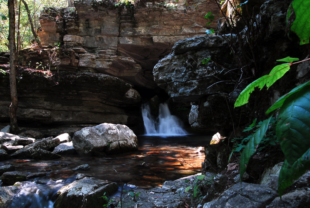
Blanchard Springs

Mt. View Tornado (14)
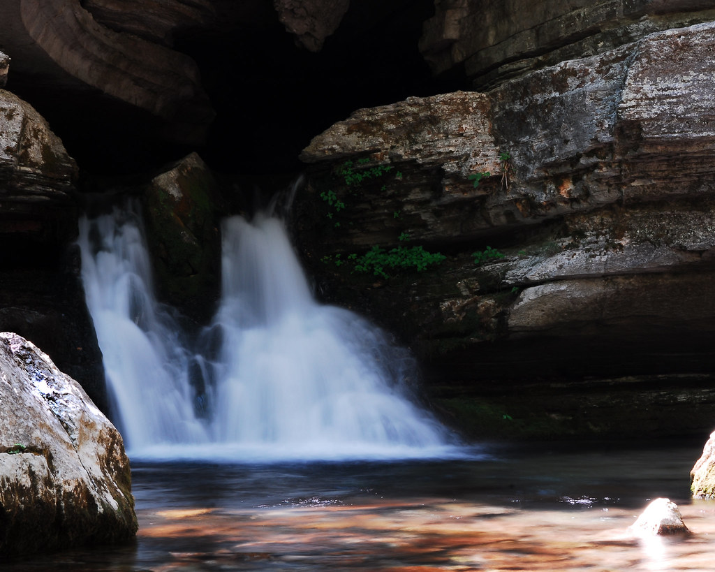
Blanchard Spring
Blanchard Spring
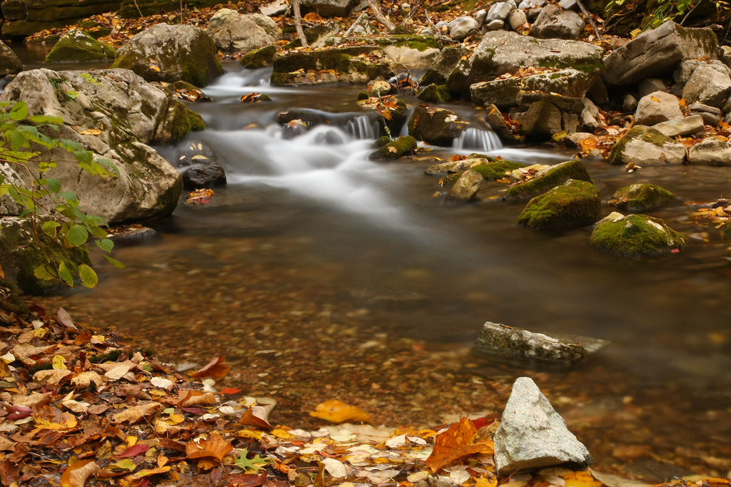
Waterfall surprise
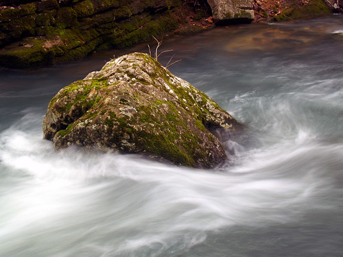
Rock Steady

Mt. View Tornado (44)
Blanchard Spring
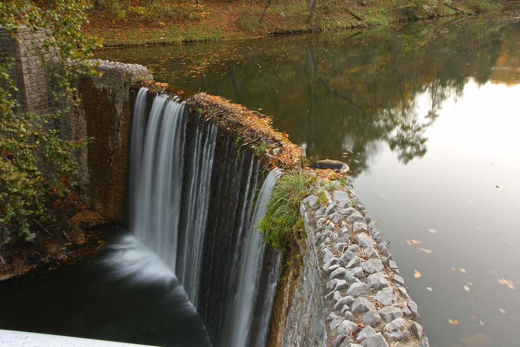
Behind the mill
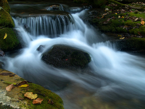
Blanchard Springs

Christmas at the Old Fishin Cabin
Blanchard Springs Arkansas
Blanchard Springs Arkansas

Mt. View Tornado (39)
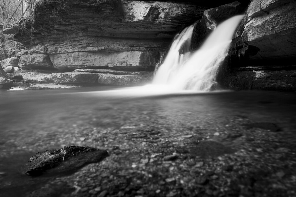
Blanchard Springs in Black and White
below blanchard springs
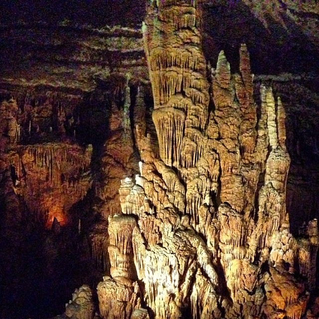
A bit of spelunking today. Nice easy tour of about a 1/2 mile. Beautiful formations in here.
blanchard springs 3
Don't drink the water
Topographic Map of Richwoods Township, AR, USA
Find elevation by address:

Places in Richwoods Township, AR, USA:
Places near Richwoods Township, AR, USA:
Community Dr, Mountain View, AR, USA
1333 Hub Willis Rd
849 Sugar Hill Rd
256 Halpain Rd
5417 Luber Rd
Stone County
AR-9, Mountain View, AR, USA
Turkey Creek Township
220 Junction Rd
3378 Ar-9
3378 Ar-9
AR-9, Fox, AR, USA
Fox
Dodd Ln, Fox, AR, USA
419 Jimmy Creek Rd
Union Township
Hart Ridge Road
McElroy Rd, Fox, AR, USA
3646 Red River Rd
Lute Mountain Road
Recent Searches:
- Elevation of Corso Fratelli Cairoli, 35, Macerata MC, Italy
- Elevation of Tallevast Rd, Sarasota, FL, USA
- Elevation of 4th St E, Sonoma, CA, USA
- Elevation of Black Hollow Rd, Pennsdale, PA, USA
- Elevation of Oakland Ave, Williamsport, PA, USA
- Elevation of Pedrógão Grande, Portugal
- Elevation of Klee Dr, Martinsburg, WV, USA
- Elevation of Via Roma, Pieranica CR, Italy
- Elevation of Tavkvetili Mountain, Georgia
- Elevation of Hartfords Bluff Cir, Mt Pleasant, SC, USA